These 9 North Carolina Trails Prove A Short Hike Can Still Feel Like A Big Adventure
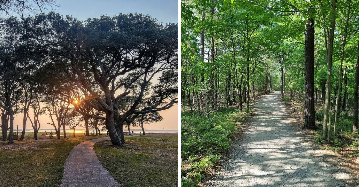
Great hikes do not need to turn into a full-day survival story with sore feet and one granola bar left for morale.
Sometimes the best trail is the one that delivers the good stuff before everyone starts questioning their shoe choices.
Short hikes have a sneaky kind of power.
They seem simple at first, then a waterfall appears, a ridge opens up, or the path bends toward a view that feels way bigger than the mileage promised.
That is what makes these routes so satisfying. They do not ask for a heavy pack, a sunrise wake-up call, or a dramatic speech about endurance.
A few miles can still bring real adventure when the scenery knows how to show up fast.
One trail might feel cool and shaded. Another might climb just enough to make the overlook feel earned.
Some paths stay close to water, while others use cliffs, marshes, or mountain air to make a short walk feel surprisingly full.
Before heading out, check closures, parking rules, weather, and current trail conditions.
Nobody wants a quick hike to become a confusing parking-lot tragedy.
These compact routes prove that a trail does not need to be long to leave a strong impression, especially in North Carolina.
1. Pilot Knob Trail
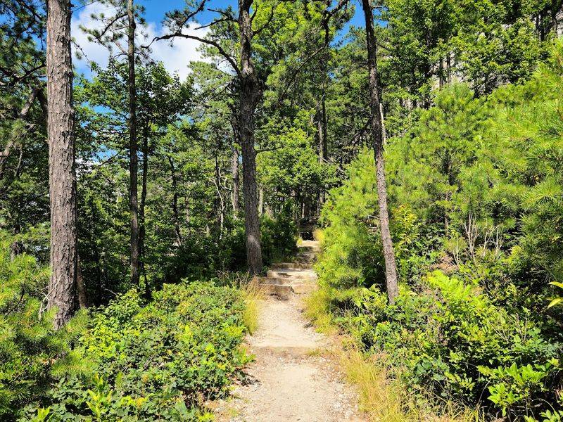
Big Pinnacle has a way of making a short loop feel instantly dramatic. Pilot Knob Trail circles the base of Pilot Mountain’s most recognizable rock formation. It offers a 0.8-mile loop with stone steps, narrow sections, and cliffside views.
The park address is 1721 Pilot Knob Park Road, Pinnacle, NC 27043, and the summit area makes this trail one of the easiest ways to feel the mountain’s scale without committing to a long route.
The path does not climb onto Big Pinnacle itself, since that fragile natural area is protected, but it gives excellent close-up views of the quartzite monadnock from below.
Raptors and vultures often ride the air currents overhead, adding motion to a landscape that already feels powerful. The trail can be rocky enough to slow people down, which is not a bad thing.
Every pause gives another angle on the cliffs, forest, and sky. For less than a mile, the route carries real texture: steps, boulders, overlooks, trees, and the strange thrill of walking around something that looks almost too iconic to be real.
2. Upper Cascades Trail
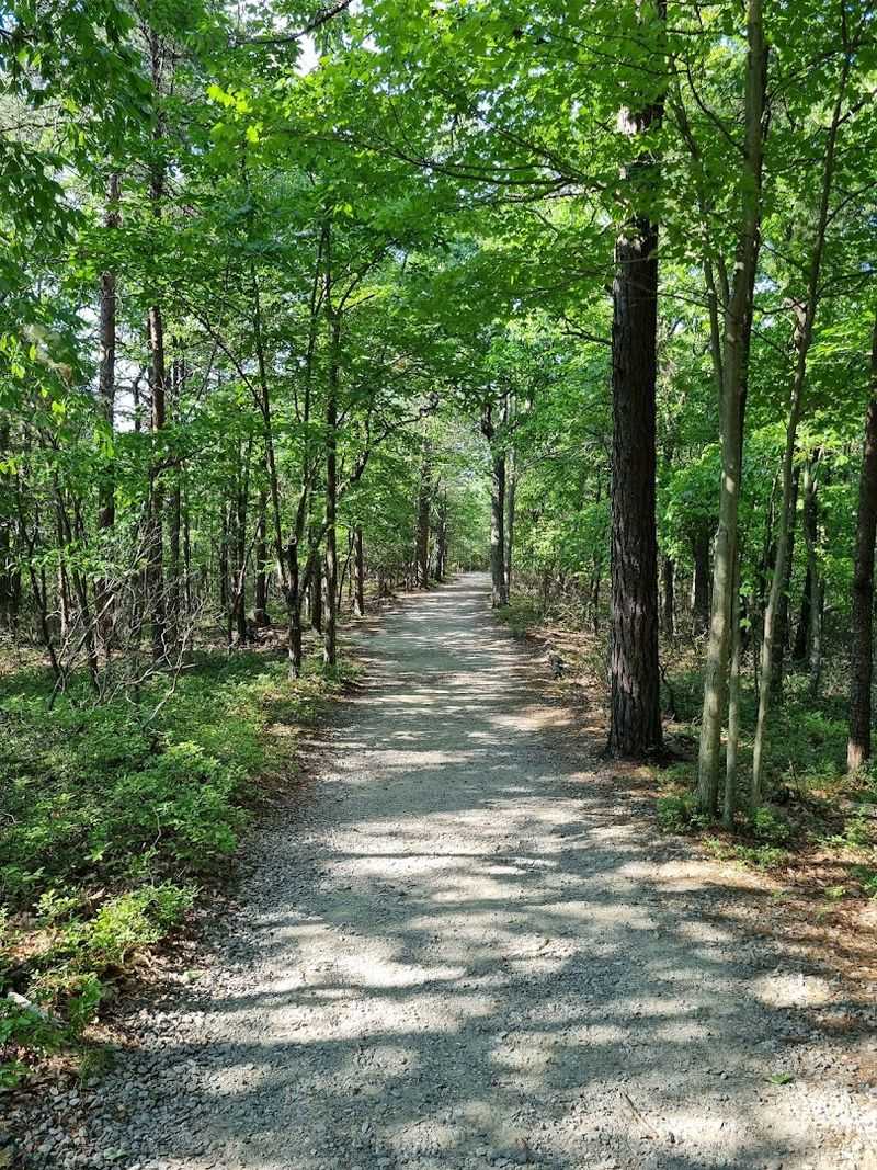
Waterfall rewards do not come much faster than this. Upper Cascades Trail at Hanging Rock State Park is listed as a 0.2-mile one-way hike, beginning near the west end of the visitor center parking lot at 1005 Visitor Center Drive, Westfield, NC 27053.
The path is short, easy, and friendly to hikers who want scenery without turning the outing into a full workout. That does not make it forgettable.
The trail leads to a wooden observation deck overlooking Upper Cascades, a small but beautiful waterfall that feels like a hidden bonus hidden close to the main park hub.
Stairs lead lower for visitors who want a closer look near the shallow pool area, though footing can be slick around wet rock and should be treated carefully.
Families appreciate this trail because the payoff arrives quickly, and younger hikers do not have time to declare the entire outdoors unfair.
The surrounding woods add shade and sound, making the short walk feel more immersive than its length suggests.
Upper Cascades is perfect for people who want one quick, satisfying stop before tackling longer Hanging Rock trails or simply calling the waterfall the whole adventure. Sometimes efficiency is not lazy.
Sometimes it is excellent planning.
3. Lower Cascades Trail
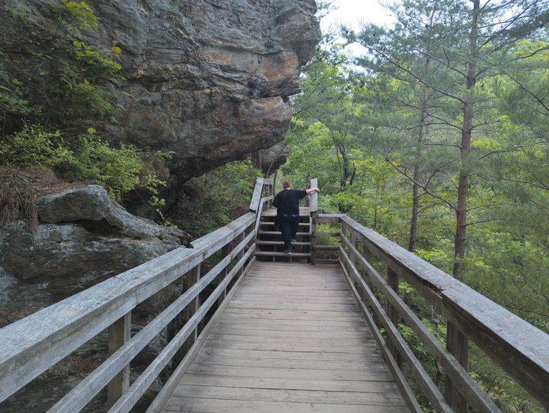
A short trail can still make you respect the return climb. Lower Cascades Trail begins from the Lower Cascades parking area off Hall Road, separate from the main visitor center, and leads about 0.4 mile one way to one of Hanging Rock State Park’s most photogenic waterfalls.
The distance sounds easy until the steps enter the conversation. Wooden and stone stairs drop hikers toward the base of the falls, creating a descent that feels fun on the way down and a little more honest on the way back up.
The reward is worth it. Lower Cascades spills over a rock ledge into a shallow pool framed by an overhanging bluff, giving the whole scene a secluded-away amphitheater feeling without requiring a long hike.
The waterfall is especially satisfying after rain, though wet surfaces demand caution and swimming conditions should never be assumed safe.
Families, photographers, and waterfall chasers all love this trail because it offers a classic North Carolina falls experience in a compact package.
The climb out may leave calves with opinions, but that is part of the charm. Lower Cascades proves short does not always mean effortless, and effortless is not always the goal.
4. Craggy Pinnacle Trail

Rhododendron tunnels make the climb feel almost enchanted before the views take over.
Craggy Pinnacle Trail starts from the Craggy Dome parking area near Blue Ridge Parkway Milepost 364.1, just north of Asheville. It’s about a 1.4-mile round trip hike that leads to one of the Parkway’s most rewarding short-summit views.
The route climbs through a twisted high-elevation forest of rhododendron, laurel, birch, rock, roots, and stone steps, creating plenty of atmosphere before the first big overlook appears.
The grade is steady enough to feel like a real hike, but the payoff comes quickly.
At the summit, hikers reach views that open across the Blue Ridge in nearly every direction, with layered ridges stretching toward Asheville, Mount Mitchell, and surrounding mountain country on clear days.
June can bring rhododendron blooms, while late summer and fall add their own color and texture.
The summit area has fragile vegetation, so staying on the marked path matters. Weather also changes fast at this elevation, and fog can erase the view in minutes.
Even then, the trail has mood to spare. On a clear day, though, Craggy Pinnacle feels like someone compressed a full mountain adventure into a short, steep, beautiful burst.
Craggy Pinnacle is currently the safer focus here, but visitors should check Blue Ridge Parkway conditions because nearby Craggy Gardens facilities and some connecting trails have had closures.
5. Linville Falls Plunge Basin Trail
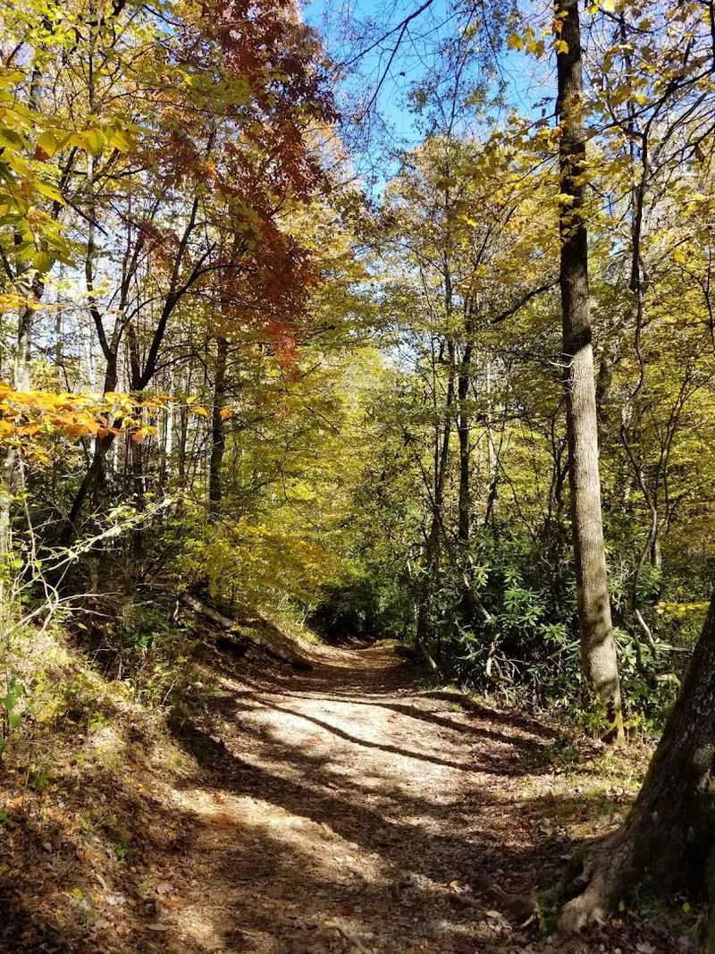
Noise builds before the falls fully appear, which makes the descent feel like a countdown. Linville Falls Plunge Basin Trail starts at the Linville Falls Visitor Center near Blue Ridge Parkway Milepost 316 and is listed by the National Park Service as a 1-mile round trip.
The trail is also rated strenuous, and that warning deserves respect. Rocks, roots, stairs, and a steep descent make the short distance feel more intense than casual hikers might expect.
The reward is a lower perspective on one of North Carolina’s most powerful waterfalls, where the Linville River drops dramatically into the gorge and the surrounding rock walls amplify the sound.
Rhododendron and hardwood forest frame the route, but the real drama waits near the bottom, where mist, water, and stone make the landscape feel raw and alive.
This is not the easiest Linville Falls viewpoint, and it should not be rushed. Proper shoes help, especially after rain, and hikers should stay on marked trails because the gorge terrain can be dangerous.
For those willing to handle the steepness, the trail delivers a huge payoff in very little mileage. Short hikes rarely feel this forceful.
Linville makes every step count.
6. Kuwohi Observation Tower Trail
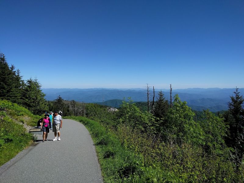
The highest point in Great Smoky Mountains National Park does not give up its view without making visitors breathe a little harder. Kuwohi Observation Tower Trail is a paved 1-mile round trip from the parking area to the summit tower, but the grade is steep enough to make the walk feel serious.
Access is via Kuwohi Road off Newfound Gap Road near the North Carolina–Tennessee line. The road is seasonal and can close in winter or bad weather, so checking National Park Service conditions before going is essential.
At 6,643 feet, Kuwohi is the highest point in the park and one of the most famous viewpoints in the southern Appalachians.
Spruce-fir forest lines the climb, and the Appalachian Trail passes nearby, adding a little long-distance hiking magic to the scene. At the top, the observation tower gives 360-degree views that can stretch for miles when the air is clear.
Crowds and limited parking can be a challenge, especially in peak season, so early or late visits are often better. The trail is short, paved, and popular, but easy is not quite the right word.
The climb works for its view, and the view pays generously.
7. Whiteside Mountain Trail
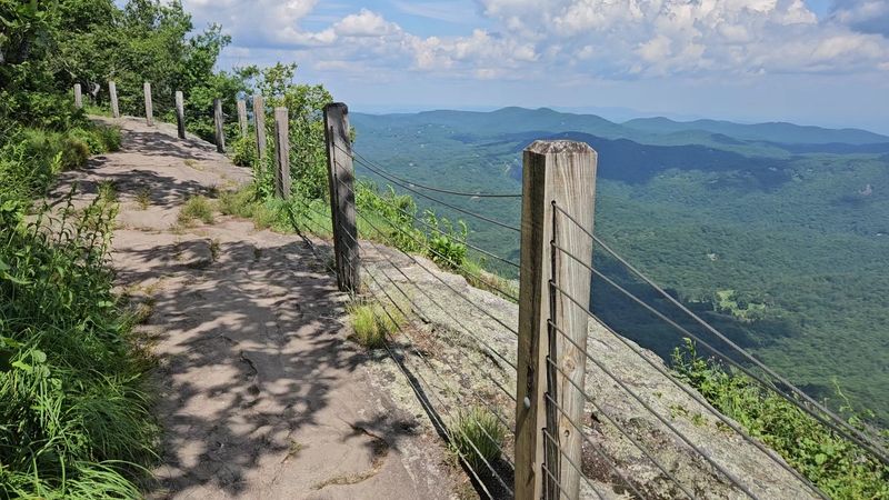
Cliffs this tall make two miles feel enormous. Whiteside Mountain Trail forms a 2-mile loop in Nantahala National Forest near Highlands and Cashiers, climbing above sheer 750-foot cliffs that rank among the most dramatic bare rock faces in the eastern United States.
The Forest Service notes that the trail is rated more difficult because of its steepness, so hikers should not let the short distance fool them. The loop rises to the 4,930-foot crest of Whiteside Mountain and opens to sweeping views east, south, and west.
Safety railings protect some exposed overlook areas, but staying behind barriers and away from cliff edges is nonnegotiable.
The mountain itself is ancient, with rock estimated at hundreds of millions of years old, and the trail passes wildflowers, hardwoods, and high-elevation plant communities that add quiet detail to the big views.
Peregrine falcons may be seen in season, and temporary closures or restrictions can occur to protect nesting birds, so current conditions matter.
The loop offers the rare feeling of a major mountain outing without an all-day mileage commitment.
It is steep, scenic, and unforgettable in a way that makes the distance almost irrelevant.
8. Raven Rock Loop Trail
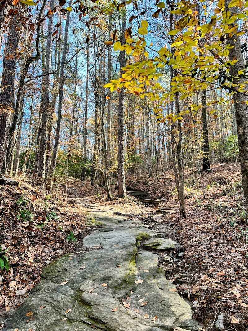
River bluffs give this Piedmont trail a surprisingly bold personality. Raven Rock Loop Trail at Raven Rock State Park is a 2.6-mile route leading to the park’s signature 150-foot crystalline rock formation above the Cape Fear River.
The park sits at 3009 Raven Rock Road, Lillington, NC 27546, about 40 miles southwest of Raleigh, making it an excellent short-adventure option for central North Carolina hikers.
The trail moves through forest, crosses small bridges, and eventually reaches the dramatic bluff system that gives the park its name.
Stairs lead down toward the base of the rock, where the scale becomes much more impressive than it looks from above. Returning to the top brings river views and a better sense of how the Cape Fear has carved this landscape over time.
Mountain laurel, wildflowers, hardwood forest, and seasonal greenery soften the rocky drama, while the river adds constant movement below. The loop is longer than some trails on this list, but it still fits comfortably into a half-day outing.
Raven Rock is ideal for hikers who want variety without driving to the mountains: forest, stairs, river, cliffs, and a landmark that feels far bigger than the mileage.
9. Basin Trail

Coastal trails trade mountain drama for salt air, marsh birds, and big open sky.
Basin Trail at Fort Fisher State Recreation Area passes through maritime habitat, salt marsh, sandy sections, and boardwalks.
It ends at an observation deck with views toward Zeke’s Island and the Cape Fear River.
The route is often described as about 1.1 miles one way, so hikers should plan for the return trip too.
Along the way, the landscape feels completely different from inland North Carolina hikes. Wind moves through marsh grass, coastal birds work the waterline, and the sound-side views keep the route feeling open and unhurried.
A World War II-era bunker adds an unexpected historical note beside the natural scenery.
Sun, heat, insects, and soft sand can make the trail feel more demanding than the mileage suggests, especially in summer.
Still, the reward is unique. Basin Trail proves a short coastal hike can feel adventurous without a single mountain in sight.