10 Kentucky Rivers Where Rockhounds Search For Agates, Jasper, And Crystal-Filled Geodes
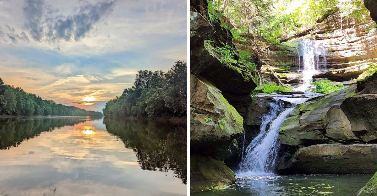
Kentucky keeps treasure in its creeks, and most people drive right past it. Rockhounds know better.
The official state rock is the Kentucky agate, banded in red and black like nature showed off.
Whole geodes sit disguised as boring gray lumps in stream gravel. Crack one open and crystals flash back at you like a surprise party.
Some are the size of walnuts, and others rival basketballs.
Jasper and chalcedony ride along in the same gravel bars, waiting for sharp eyes. All you need is a bucket, patience, and low water.
Kids take to this hobby instantly, because it’s basically a legal treasure hunt.
One quick tip before you go, since many creek banks sit on private land. Ask permission first, and skip the state parks entirely, where collecting is not allowed.
The polite rockhound gets invited back, after all. Ten rivers made our list.
Your future mantelpiece rock awaits.
1. Kentucky River Gravel Bars, Near Boonesborough, Clark And Madison Counties
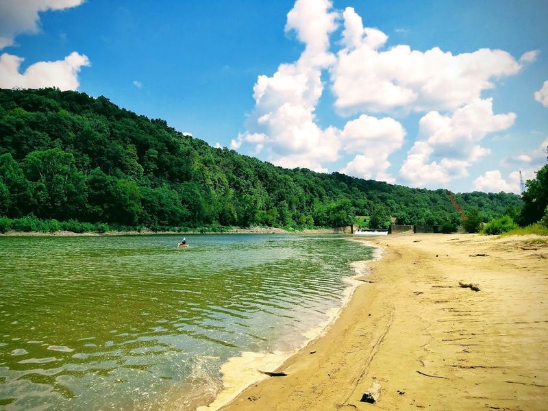
Fort Boonesborough sits on some of the most historically rich riverbanks in the state, and the gravel bars here are equally impressive for rockhounds.
The Kentucky River carves through limestone and shale formations that have been eroding for millions of years, depositing a remarkable variety of stones along its shores.
Agates with banded patterns show up regularly in the gravel bars near the Clark and Madison county line.
Jasper in earthy reds and oranges is another common find, often smooth and satisfying to hold after being tumbled by the current for ages.
Low water conditions in late summer expose the widest gravel bars, making this the prime season for searching. Bring a spray bottle filled with water to wet dry rocks and reveal their true colors.
A hand lens magnifier helps spot the translucent edges of agate pieces hiding among ordinary-looking gravel. Public access near the state park makes this one of the most beginner-friendly spots on the entire list.
The limestone bluffs above the river add a dramatic backdrop that makes the whole outing feel like a proper adventure.
Before collecting, always confirm land ownership and rules; do not remove rocks, fossils, or natural materials from national parks, state parks, nature preserves, or private land without permission.
2. Red River Tributaries, Near Stanton, Powell County
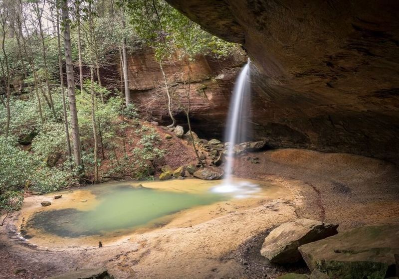
Powell County is famous for its Red River Gorge, but rockhounds know the real action happens in the smaller tributaries feeding into the main channel.
These creeks cut through ancient sandstone and chert-rich formations, releasing material that collects in every bend and shallow pool.
Chert nodules are the most common find here, but patience rewards collectors with jasper pieces showing vivid red and brown coloring.
Some nodules, when cracked open, surprise you with small crystal pockets inside. It is not a guaranteed geode hunt, but the occasional surprise makes it worth the effort.
The terrain around Stanton is rugged and beautiful, so plan for a hike rather than a casual stroll. Waterproof boots are not optional here.
The creek beds shift seasonally, so spots that were productive last spring may look completely different by fall.
Locals recommend checking the smaller unnamed tributaries rather than the main Red River channel itself, since finer material concentrates in calmer water.
Powell County is only about an hour southeast of Lexington, making it a realistic day trip for most Kentucky collectors.
3. Station Camp Creek And The Creeks Near Irvine, Estill County
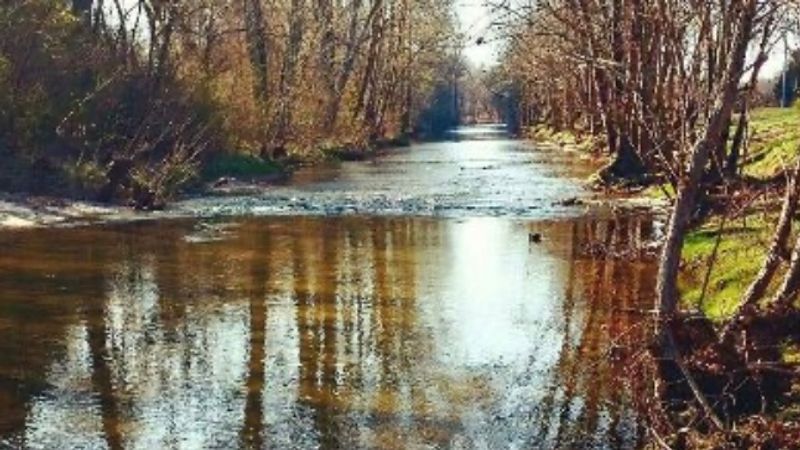
Estill County does not always make the top of the Kentucky rockhounding list, which is exactly why it is worth visiting.
Station Camp Creek and the surrounding drainages near Irvine flow through terrain that produces a surprisingly varied collection of minerals, including chert, jasper, and occasional silicified fossils.
The creeks here run relatively clear, which makes spotting colorful stones easier than in muddier rivers.
Wet gravel reveals the true character of each stone, and a sharp eye will catch the waxy luster of chert and the deeper red glow of jasper catching afternoon light.
Silicified fossils are a genuine bonus in this area. Ancient marine creatures turned to stone show up in creek gravels with enough regularity to keep collectors excited.
Estill County sits within the Eastern Kentucky coalfields transition zone, where geology gets complicated in the best possible way for collectors.
Parking near public road crossings along Station Camp Creek gives reasonable access without trespassing concerns. Always check land ownership before venturing off the beaten path.
The town of Irvine is small but has basic supplies, so fuel up before heading out into the creek hollows.
4. Kentucky River Banks, Lee And Owsley Counties Near Beattyville
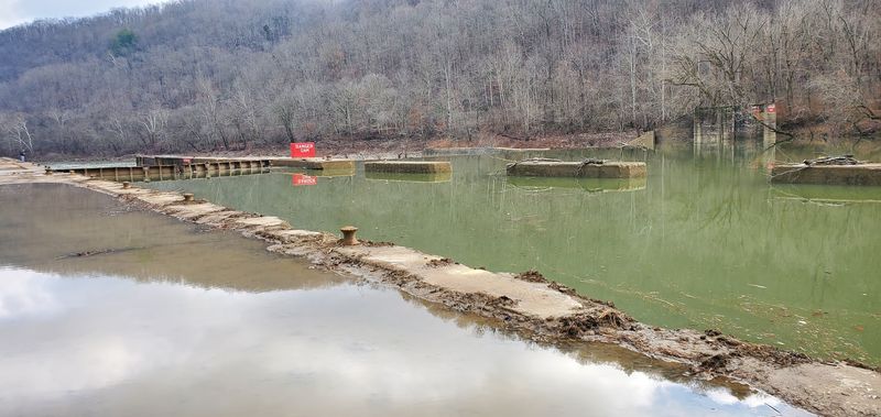
Beattyville sits at the confluence of three forks of the Kentucky River, which means three separate drainages are constantly feeding material into the gravel bars here.
That geology-driven delivery system has made this area one of the most productive rockhounding stretches in eastern Kentucky.
Banded agates show up with enough regularity that experienced collectors make return trips throughout the year.
The material eroding out of the surrounding hills includes chert from multiple formations, giving the gravel bars a diverse mix that rewards careful searching.
Lee and Owsley counties are rural and quiet, which means fewer people competing for the same gravel bars. That solitude is part of the appeal.
Early morning searches after a period of high water are especially productive, since fresh material gets deposited and sorted by the current overnight.
Bring a small rock hammer for testing suspicious nodules that might be hiding crystal interiors. The scenery along this stretch of the Kentucky River is genuinely striking, with tall sandstone and shale cliffs rising above the water.
Beattyville itself has restaurants and a gas station for supplies before you head down to the river access points scattered along local roads.
5. Green River, Adair And Green Counties Near Columbia And Greensburg
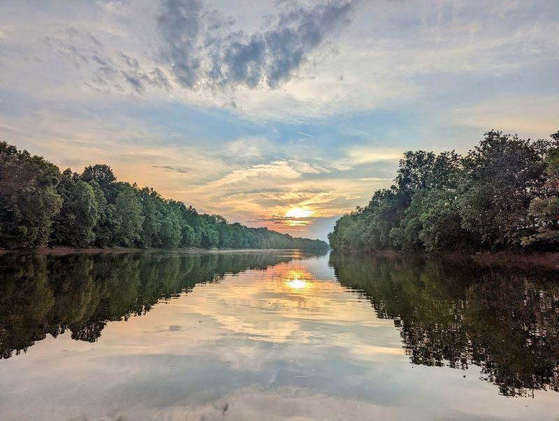
The Green River in south-central Kentucky is primarily known for its world-class fossil beds, but rockhounds collecting minerals and chert should absolutely have it on their radar.
The river cuts through thick sequences of Mississippian-age limestone, which produces chert nodules in a staggering variety of shapes and colors.
Gray, tan, and occasionally reddish chert pieces line the gravel bars near Columbia and Greensburg.
Geode hunters have also found nodular material in this area that, when opened, reveals small but satisfying crystal pockets. The fossils here are a bonus that makes every outing feel like two trips in one.
Access along the Green River in Adair and Green counties is generally good at public bridge crossings. Summer low water is the optimal time to walk the exposed gravel bars without getting soaked.
A note for first-timers: the chert here can look deceptively plain when dry, so always carry water to wet stones before deciding they are unworthy of a closer look.
Columbia is the county seat of Adair County and has all the amenities you need for a day trip. Greensburg, the Green County seat, is equally convenient and sits right along the river corridor.
6. Rockcastle River And Nearby Creeks, Near Mount Vernon, Rockcastle County
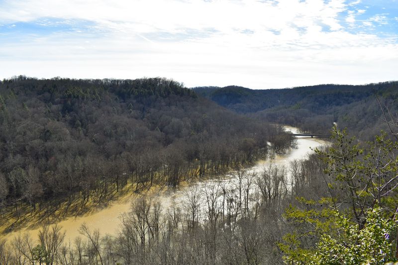
The Rockcastle River has a reputation among Kentucky outdoor enthusiasts for being exceptionally clear and beautiful. Rockhounds have a slightly different reason to love it: the streambed material here is fantastic.
The river drains a large area of eastern Kentucky terrain that is rich in chert, silicified fossils, and occasional jasper.
Mount Vernon serves as a practical base for exploring both the main Rockcastle channel and the smaller tributaries feeding into it.
Those smaller creeks sometimes concentrate finer material in their gravel bars, making them productive spots when the main river is running high and fast.
One thing that sets the Rockcastle apart is water clarity. You can often spot colorful stones from the bank before ever stepping in, which makes reconnaissance easy and efficient.
Rockcastle County is also conveniently located right off Interstate 75, making it accessible for collectors coming from Lexington, Cincinnati, or Knoxville.
The Daniel Boone National Forest surrounds much of this river corridor, so access is generally excellent. Bring creek shoes rather than heavy wading boots since the Rockcastle bottom can be slippery.
The reward for careful footwork is a genuinely beautiful place to spend an afternoon hunting rocks.
7. Little Sandy River, Near Grayson, Carter And Elliott Counties
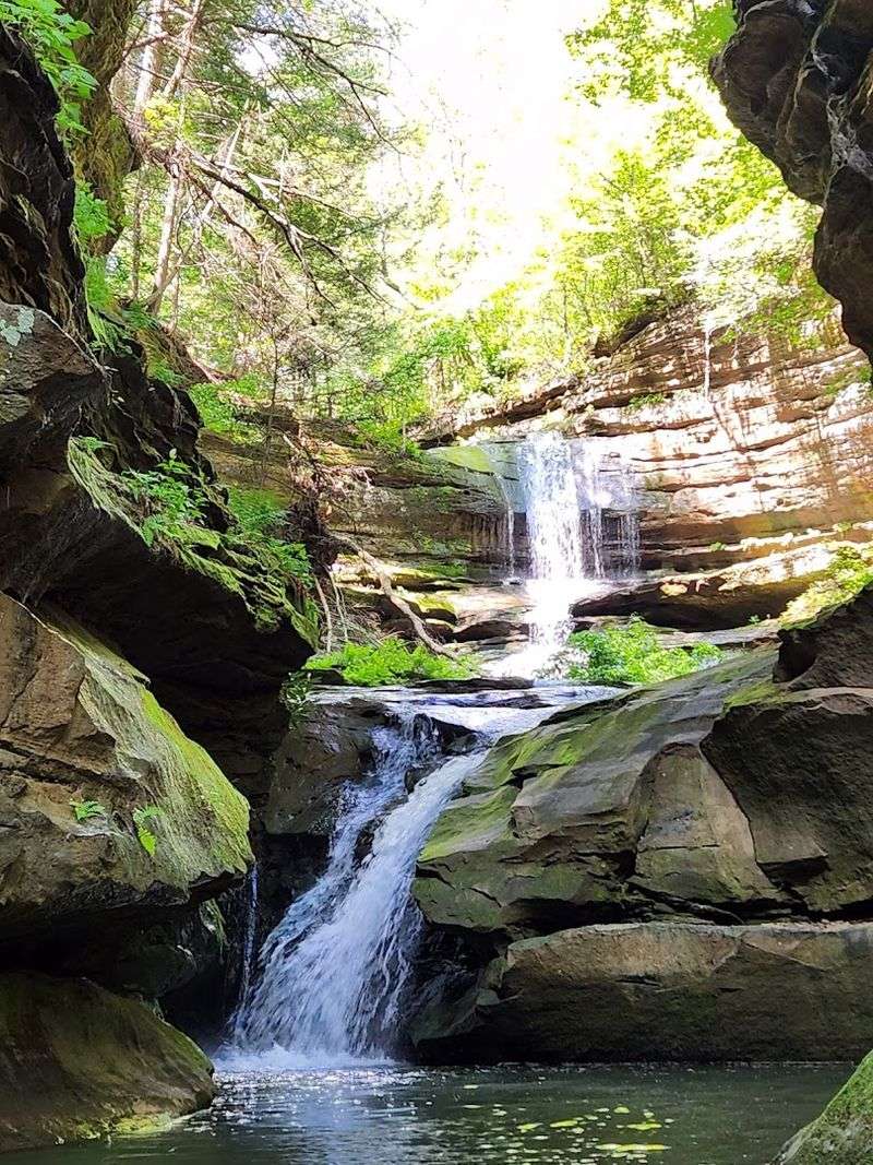
Northeastern Kentucky does not get as much rockhounding attention as the central and eastern parts of the state, but the Little Sandy River near Grayson is quietly productive.
Carter and Elliott counties sit on a mix of Pennsylvanian and Mississippian-age formations that erode into the river and contribute a variety of collectable material.
Chert nodules, occasional jasper, and silicified fossils are the main targets here. The Little Sandy is a smaller river, which means it concentrates material in predictable ways at bends and below riffles.
Learning to read river hydrology makes a real difference in finding productive spots quickly.
Grayson is the Carter County seat and provides easy access to the river at multiple public crossings.
The area around Grayson Lake, formed by a dam on the Little Sandy, also offers shoreline hunting opportunities when water levels drop.
Carter Caves State Resort Park is nearby and worth a visit if you want to add cave exploration to your geology day.
The park sits in a karst landscape riddled with caves and sinkholes, which is always interesting for anyone who enjoys thinking about how landscapes form.
Northeast Kentucky is underexplored for rockhounding, and the Little Sandy rewards the curious collector willing to venture off the well-worn trail.
8. Barren River Area Creeks, Near Cave City, Barren County
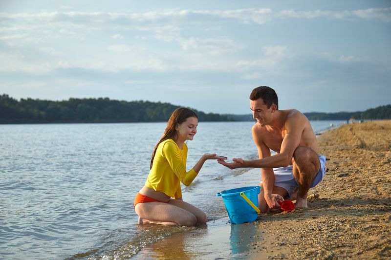
Cave City is famous for Mammoth Cave, but the geology that created those underground passages also left behind some seriously interesting surface collecting opportunities.
The creeks draining into the Barren River system near Cave City run through thick sequences of Mississippian limestone packed with chert nodules and fossils.
Chert here comes in a range of colors from pale gray to honey tan, and pieces with natural banding can look surprisingly similar to agate when wet.
Silicified fossils, including crinoid stems and brachiopods replaced by silica, turn up regularly and make great additions to any collection.
The karst terrain of Barren County means sinkholes and disappearing streams are common features of the landscape.
That drainage pattern concentrates material in some unexpected places, so exploring off the obvious creek beds occasionally pays off.
Cave City sits along US-31W and I-65, making it one of the most logistically easy spots on this list to visit. The town has plenty of food and lodging options since it caters to Mammoth Cave tourists year-round.
After a morning of creek hunting, a trip underground through Mammoth Cave makes for a genuinely epic geology day that most collectors will talk about for years.
9. Drakes Creek And Warsaw Formation Streams, Near Bowling Green, Warren County
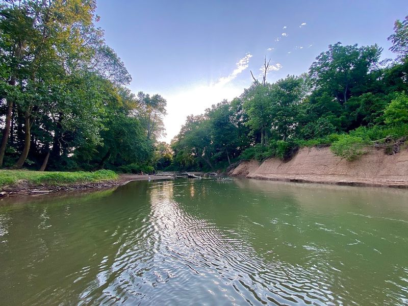
Bowling Green sits in Warren County on top of some of the most fossil-rich Mississippian limestone in the entire state.
Drakes Creek and the smaller streams influenced by the Warsaw Formation cut through this material and deposit chert nodules, silicified fossils, and occasional geode-like nodules in their gravel bars.
The Warsaw Formation is particularly exciting for collectors because it produces nodular chert that sometimes contains crystal-lined cavities.
These are not the massive geodes of the Midwest, but cracking open a nodule to find a small sparkling interior never gets old no matter how many times you have done it.
Bowling Green is a city with all the conveniences a day-tripper needs, which makes planning a rockhounding outing here straightforward.
Public access along Drakes Creek exists at several road crossings and parks within the city and surrounding county.
Western Kentucky University is located in Bowling Green, and the geology department occasionally hosts public programs on local rock formations that are worth attending if your timing lines up.
The combination of accessible location, productive geology, and city amenities makes Warren County one of the most practical rockhounding destinations in the state for collectors who prefer not to drive four hours into the mountains.
10. Kentucky Lake Shoreline Gravels, Near Aurora, Marshall And Calloway Counties
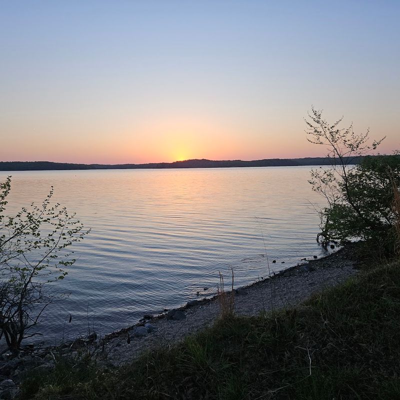
Kentucky Lake is the largest man-made lake east of the Mississippi River, and when water levels drop in late summer and fall, the exposed shoreline gravels reveal material that has been washing out of the surrounding bluffs for decades.
Aurora, sitting on the Marshall and Calloway county border, is a prime access point for this kind of shoreline hunting.
Chert pieces, occasional jasper, and rounded nodules that may contain crystal interiors are all findable along the lake margins during low water.
The Tennessee River, which was dammed to create Kentucky Lake, drained a watershed rich in chert-bearing limestone formations, and that material is scattered throughout the lake bottom and shoreline.
Low water periods are absolutely essential for productive hunting here. The Tennessee Valley Authority manages lake levels, and their schedules are publicly available online so you can plan your visit strategically.
Land Between the Lakes National Recreation Area borders the eastern shore of Kentucky Lake and offers miles of accessible shoreline.
The Aurora area has small restaurants and shops that make a good base for a weekend trip.
Pairing Kentucky Lake shoreline hunting with a visit to the nearby Woodlands Nature Station gives the whole trip an educational dimension that families especially enjoy.
Search only at legal public access points outside protected park areas, or on private land with permission.