10 Idaho Outdoor Areas Where Visitors Should Stay Tick-Aware This Summer
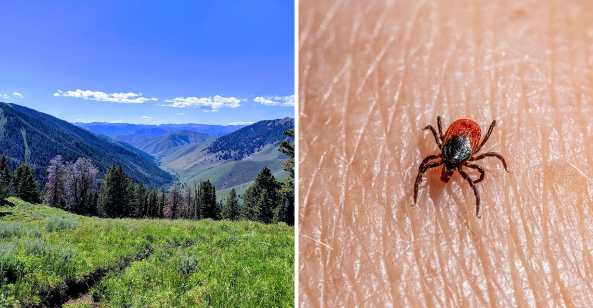
Warm weather has a way of emptying the house and filling Idaho’s trails, campgrounds, and riverbanks.
The same conditions that make the outdoors so inviting can also support seasonal tick activity, especially where vegetation grows thick and wildlife frequently passes through.
That does not mean every hike comes with a tick or every recreation area is a hotspot. In fact, no public statewide survey ranks Idaho parks, cities, or trails by tick population.
Conditions vary from place to place and can even change within the same park.
The goal is not to avoid the outdoors. It is simply to enjoy them with a little extra awareness.
A few basic precautions before and after a day outside can go a long way toward reducing the chance of bringing home an unwanted hitchhiker.
Idaho’s forests, mountains, and rivers remain some of the best places to spend a summer day.
Knowing what to expect simply helps keep the memories focused on the adventure instead of the aftermath.
1. Boise Foothills / Ridge To Rivers Trail Areas
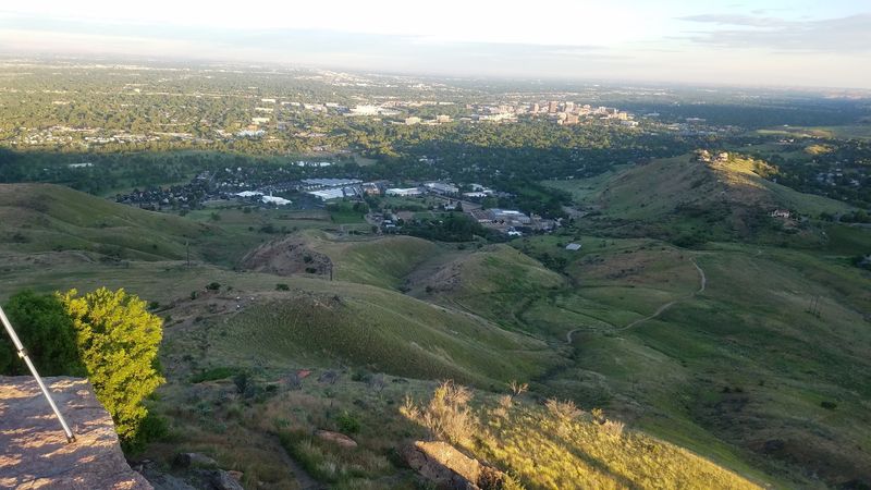
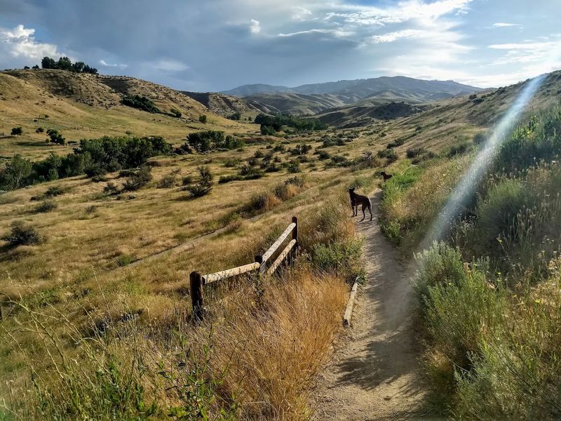
Golden slopes and winding single-track routes make the Ridge to Rivers network one of Boise’s most heavily used outdoor recreation systems. More than 200 miles of trails cross sagebrush hillsides, open ridgelines, narrow drainages, grassy trailheads, and patches of thicker seasonal vegetation.
Conditions can change quickly during a single outing. One section may climb across a dry, exposed slope, while another passes beside shrubs, shaded gullies, or greener plants that retain moisture longer.
Those brushier sections can provide more suitable surroundings for ticks than bare ground or wide, sun-baked ridges. Wood ticks commonly use grasses and low vegetation while waiting for an animal or person to pass.
Hikers, runners, cyclists, and dog owners should pay particular attention after moving through narrow trails bordered by taller plants. Spring and early summer often bring fuller vegetation to the foothills before prolonged heat dries much of the landscape.
Sheltered drainage areas may remain greener after exposed slopes have turned tan. Informal paths beyond the maintained route can also place visitors closer to shrubs and grass.
Staying on established trails whenever possible reduces unnecessary contact with vegetation. A quick check of socks, shoes, pant legs, gear, and pets after returning from the foothills adds a practical final step before heading home.
2. Table Rock / Military Reserve Area
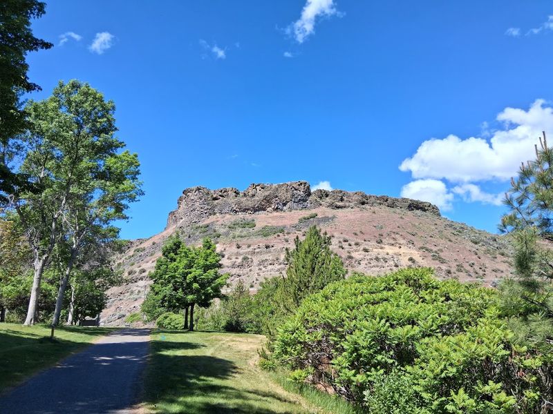
Steep climbs, open views, and easy access from central Boise keep Table Rock and Military Reserve active throughout the warmer months.
Both areas connect with the broader foothills trail network, but their combination of rocky slopes, sagebrush, grassy sections, and seasonal drainage vegetation creates changing conditions along the route.
Exposed ground near higher points may be dry and sparsely covered, while lower draws and less-sunny sections can hold thicker vegetation.
Brushier trail margins deserve more attention than broad, rocky stretches where plant cover is limited.
Military Reserve carries walkers, runners, cyclists, and dogs through open foothill terrain every day. Table Rock adds popular climbing routes that pass grasses and shrubs before reaching more exposed ground near the summit.
Seasonal growth is often fuller during spring and early summer. As temperatures rise, many slopes dry quickly, though sheltered pockets may remain green for longer.
Recent rain can also temporarily change trail-edge conditions. Visitors can reduce contact by avoiding shortcuts through grass and by keeping dogs from pushing into thick brush.
After an outing, checking around ankles, waistbands, hairlines, and areas where clothing fits closely can help catch ticks early. Pet owners should also examine collars, ears, legs, and paws before leaving the trailhead or returning indoors.
3. Lucky Peak / Boise River Foothill Areas
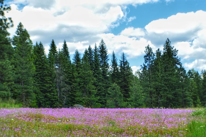
Water brings striking variety to the dry Treasure Valley landscape surrounding Lucky Peak and the Boise River.
Developed lawns, reservoir shorelines, river edges, foothill slopes, shaded draws, and grassy recreation areas can all appear within a relatively small area.
Tick awareness matters most near brush, taller grass, and places where wildlife regularly moves.
Open water, paved spaces, maintained beaches, and closely cut lawns generally create different conditions from overgrown banks or narrow trails bordered by shrubs.
Lucky Peak State Park includes Discovery, Sandy Point, and Spring Shores, and each unit has its own layout and recreation focus.
Families may spend most of the day around developed picnic areas or beaches, while other visitors move through less-maintained edges, boat-access points, or nearby foothill terrain.
Hikers, anglers, cyclists, boaters, and picnickers should pay attention when leaving open recreation spaces and entering thicker vegetation.
River corridors can remain greener than surrounding slopes, especially where shade and moisture support denser plant growth.
Keeping bags, blankets, and clothing away from brush can reduce unnecessary exposure. Visitors returning from trails or grassy shorelines should inspect shoes, socks, pant legs, gear, and pets.
Those small steps fit easily into a day spent swimming, fishing, paddling, or enjoying views across the reservoir.
4. McCall / Payette Lake Wooded Areas
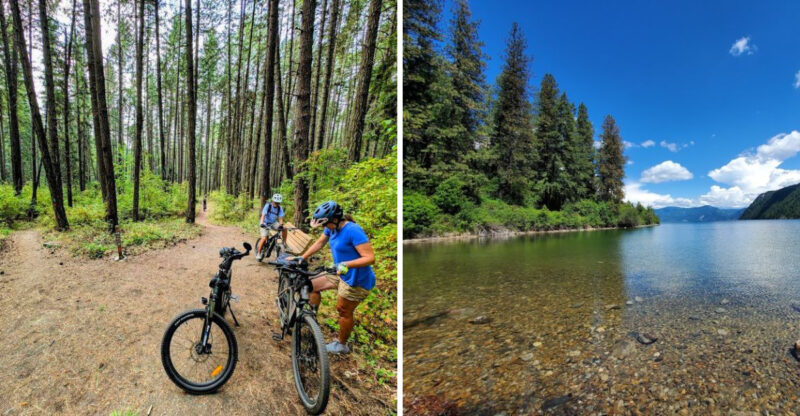
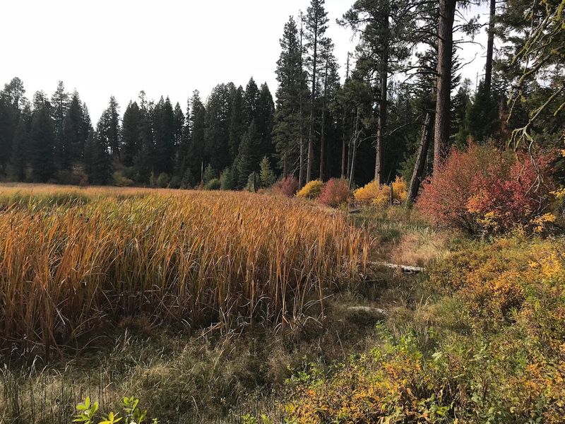
Pine forests, mountain air, and cool water give McCall a noticeably different summer setting from Idaho’s lower valleys. Around Payette Lake, hiking paths, campgrounds, shoreline vegetation, picnic grounds, wooded slopes, and wildlife routes frequently meet.
Not every part of the lake area presents the same conditions. Open beaches, paved walkways, landscaped spaces, and dry slopes differ from brushy trail edges or shaded woodland with thicker ground cover.
Early summer often brings greener undergrowth before warmer weather changes moisture levels and plant density.
Forest edges, campground margins, and less-maintained paths may place visitors closer to low vegetation used by wildlife.
Long days outdoors can include hiking, camping, swimming, paddling, and shoreline walks. Moving between those activities also means crossing different environments, sometimes without noticing how quickly the surroundings have changed.
Visitors should remain especially aware near tall grasses, narrow wooded trails, and vegetation beside campsites or access points.
Clothing checks are useful after leaving a trail, even when the remainder of the day is spent near the water.
Pets can also pick up ticks while exploring brush around campgrounds or forest paths. Checking beneath collars, around ears, between toes, and along the legs can help prevent one from being carried into a tent, vehicle, rental cabin, or home.
5. Ponderosa State Park Area
Tall pines, lake views, and varied trails make Ponderosa State Park one of McCall’s best-known outdoor destinations.
The peninsula includes forest, open grassy sections, shoreline vegetation, developed recreation spaces, and areas regularly crossed by deer and other wildlife.
Those environments can differ sharply within a short distance. Exposed viewpoints may feel dry and breezy, while shaded interior trails retain cooler ground and denser plants.
Open picnic areas may be closely maintained, but nearby woodland edges can contain taller grass or low shrubs. Hikers and cyclists often travel through several of these settings during one outing.
Campers, paddlers, and families may also move between shoreline access points, wooded paths, and recreation areas throughout the day. Tick awareness is most useful near vegetation rather than across every part of the park.
Staying toward the center of established trails limits contact with plants along the edges. Visitors should avoid placing jackets, backpacks, or blankets directly against brush.
Conditions may also shift as the season progresses. Meadow edges that appear lush in early summer can become much drier later, while shaded areas remain green for longer.
A check of clothing, gear, children, and pets after leaving the trails takes only a few minutes. It allows visitors to keep the focus on the forest, lake, and wildlife without treating routine awareness as the main event.
6. Stanley / Sawtooth National Recreation Area River Corridors
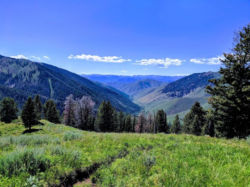
Jagged peaks dominate the scenery around Stanley, but lower river corridors and valley bottoms create some of the area’s greener summer environments.
Streams, wet meadows, forest openings, campgrounds, and grassy trail sections can place hikers and campers close to vegetation used by wildlife.
Conditions vary considerably across the Sawtooth National Recreation Area. High rocky basins, dry slopes, pine forests, open water, and sheltered river valleys all create different surroundings.
A route that begins beside tall grass may later climb into exposed terrain with very little plant cover. Elevation also affects seasonal timing.
Snow can linger in one valley while lower areas have already developed mature vegetation. Spring conditions at lower elevations may not appear until later around higher trails or campgrounds.
River access points, campground edges, and trails through meadow vegetation deserve the most attention. Visitors should avoid pushing through brush when a clear route is available and should keep clothing and equipment away from grassy margins.
Backcountry travel can involve long periods between opportunities to check clothing. Pausing at a trail junction, campsite, or vehicle to inspect socks, pant legs, packs, and exposed skin can be useful.
Dogs moving through meadows or streamside plants should also be checked carefully. Their ears, collars, legs, paws, and underside are common places for ticks to remain hidden after a day outdoors.
7. Salmon / Lemhi River And Foothill Areas

Wide valleys and rugged foothills surround Salmon, while riverbanks and lower slopes add grasses, shrubs, cottonwoods, and agricultural edges to the landscape.
Along the Lemhi River, greener vegetation can remain visible even after nearby hills have become dry and tan.
Those contrasts matter during tick season. Bare rock, open ground, and maintained spaces differ from brushy access points, shaded banks, sheltered draws, and paths bordered by taller plants.
Fishing, hiking, camping, ranching, and other outdoor activity regularly bring people and animals through the same broad valley environment.
Wildlife also moves between river cover, foothill habitat, and open ground, particularly near water and vegetation.
Visitors should pay closer attention around informal river paths, grassy pullouts, fence lines, and less-maintained access areas. Walking through tall plants to reach the water can create more contact than remaining on a clear bank or established trail.
As the summer progresses, many slopes dry quickly, but some river margins continue to hold thicker growth. Conditions may therefore feel very different only a short distance apart.
Anglers and campers can reduce exposure by keeping gear away from brush and by checking clothing before getting into a vehicle or tent. Pet owners should examine dogs after river walks or foothill hikes, especially when animals have moved through shrubs or tall grass.
8. Island Park / Henrys Fork Area
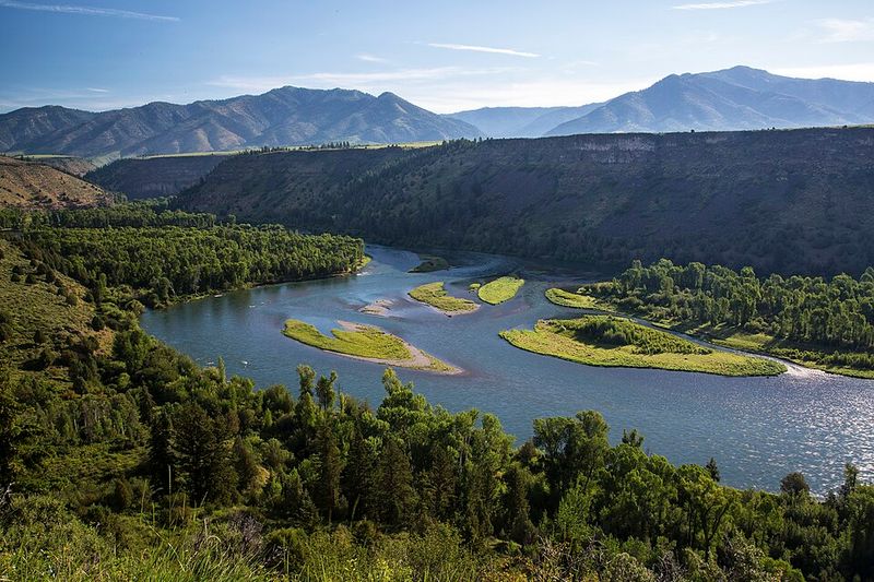
Broad meadows, lodgepole forests, wetlands, and river corridors create varied summer conditions across Island Park. Henrys Fork passes through areas used by anglers, campers, hikers, paddlers, and wildlife watchers, sometimes bringing visitors close to tall grasses and low riverbank vegetation.
Forest openings and meadow edges can provide suitable surroundings for ticks, particularly where animals regularly move between cover and water.
Developed fishing access points may remain open and maintained, while nearby paths can narrow beside thicker plants.
Elevation and seasonal weather influence how quickly vegetation develops. Snow may linger well into spring in some parts of the plateau, delaying growth compared with lower Idaho valleys.
By summer, river corridors, campgrounds, and forest clearings often receive steady outdoor use. Cooler temperatures should not replace normal precautions.
Visitors moving through meadows or wooded trail edges should avoid brushing against plants when a clear route is available.
Anglers may spend hours near riverbank vegetation, while campers can encounter grass around tent sites, picnic tables, or paths leading toward the water.
Keeping extra clothing and equipment off the ground reduces unnecessary contact. After returning from an outing, visitors should inspect shoes, socks, pant legs, packs, and pets.
Those checks are especially helpful before entering a vehicle, tent, cabin, or rental property where a tick could remain unnoticed.
9. Idaho Falls / Snake River And Grassy Field Areas
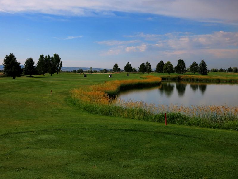
Urban river scenery places outdoor recreation close to daily life around Idaho Falls. Greenbelt paths, parks, landscaped lawns, open fields, and less-managed river edges follow the Snake River through the city and into the surrounding area.
Maintained pavement and short grass create different conditions from taller vegetation, brushy banks, rural access points, or unmanaged fields.
Tick awareness is therefore most useful in the immediate surroundings rather than being applied to the entire river corridor.
Walkers and cyclists who remain on paved Greenbelt routes may have limited contact with vegetation. Anglers, pet owners, and families who move toward overgrown banks or field edges may encounter thicker grass and brush.
Seasonal growth can make less-maintained areas denser before summer heat or maintenance reduces the vegetation.
Rural portions of the Snake River Plain also add agricultural margins, sagebrush, and open ground beyond the city’s developed parks.
Visitors should avoid walking through tall grass when a clear path is available. Dogs should remain close enough to keep them from pushing into brush along the river.
Clothing and pet checks are especially useful after exploring field edges, informal fishing access points, or less-developed river sections. A busy paved walk and an overgrown bank may sit near the same waterway, but they should be approached as very different outdoor environments.
10. Moscow / Palouse Woodland And Prairie-Edge Areas
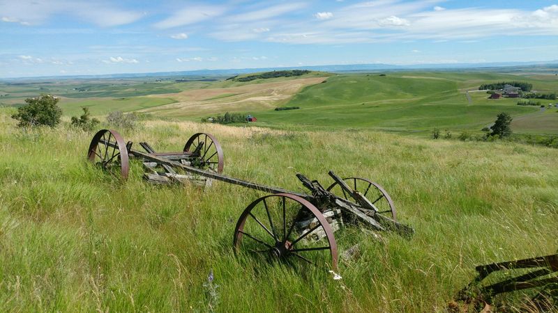
Rolling farmland shapes the Palouse’s famous appearance, while wooded pockets, creek corridors, and prairie margins add another side to the landscape around Moscow.
Trails and natural areas may pass through grasses, shrubs, forest edges, shaded undergrowth, and small openings used by wildlife.
Northern Idaho’s comparatively moist conditions can allow vegetation to remain green longer in some settings than it does across the state’s drier southern landscapes. That makes local trail conditions worth noticing throughout the warmer months.
Broad maintained paths may offer plenty of clearance, while narrower routes can run beside taller plants or low branches.
Hikers, birders, runners, and dog walkers often move between both types of surroundings during the same outing.
Ticks are more likely to be encountered where vegetation and wildlife movement overlap. Creekside growth, woodland edges, and prairie margins deserve more attention than paved or closely maintained recreation areas.
Staying near the middle of the trail helps reduce contact with grasses and shrubs. Visitors should also avoid resting directly beside dense vegetation or placing clothing and packs against plants.
After leaving a trail, checking socks, shoes, pant legs, hairlines, and pets provides a practical finish to the outing. These precautions allow Moscow’s parks and natural areas to remain enjoyable without turning a routine summer concern into an unnecessarily alarming one.