These Are The Best Idaho Places To Find Star Garnets, Gemstones, Quartz, And More
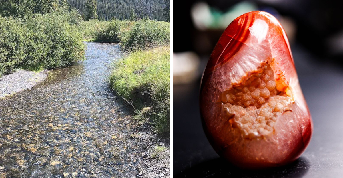
A perfectly ordinary patch of dirt can become very interesting once something starts sparkling.
Across Idaho, rocky hillsides and forested ground hide enough color to turn a casual outing into a serious search.
One good find can have everyone crouching, comparing stones, and suddenly treating a dusty pocket like museum storage.
The Gem State earns its nickname in ways that go far beyond souvenir-shop slogans. Rare star garnets, bright crystals, and unusual minerals have kept collectors exploring these landscapes for generations.
Beginners do not need expert knowledge to enjoy the hunt. Curiosity, patience, and a willingness to get a little dirty can go surprisingly far.
Of course, every shiny pebble will look important after a few hours. That is part of the fun.
These Idaho destinations give treasure seekers a real chance to uncover something memorable. Even an empty bucket can come home with a very good story.
1. Emerald Creek Garnet Area, Clarkia
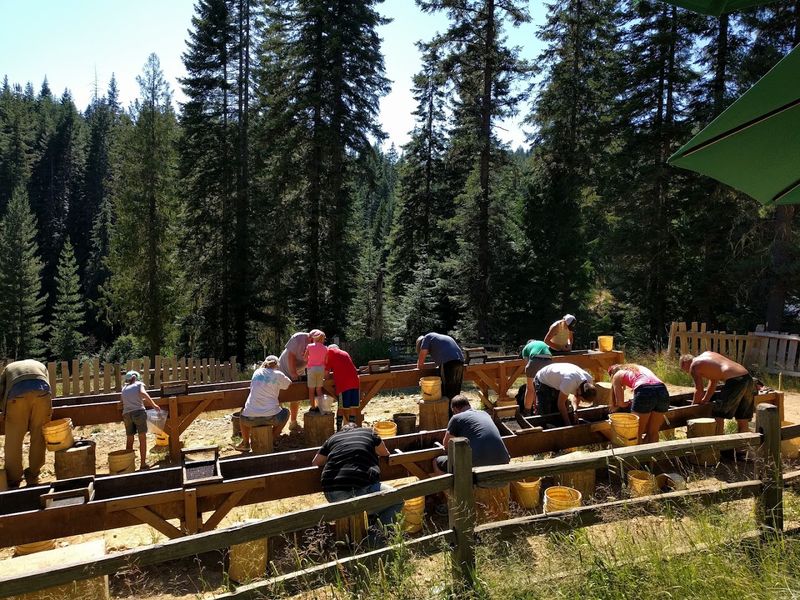
Star garnets make Emerald Creek the most recognizable rockhounding destination in Idaho, but anyone planning a 2026 visit needs an update. The Forest Service closed the collecting area early on July 9 after the garnet-bearing material was depleted.
No additional collecting is permitted there while the site is closed, and garnets may not be gathered elsewhere around Emerald Creek.
During a normal season, the managed site operates by reservation, provides digging and sluicing tools, and issues a mineral permit when each visitor arrives.
Tickets are offered for morning or afternoon sessions, with one permit allowed per person each calendar year and a limit of two pounds of garnet material. The gems are dark purple and may reveal four- or six-rayed stars after stones are cut and polished by a lapidary.
Visitors normally park half a mile below the site, walk uphill, and bring their own drinking water because none is available there. Pets are not allowed.
Future opening dates, prices, and ticket releases should be confirmed through Recreation.gov and the St. Joe Ranger District rather than assumed from an earlier season. Emerald Creek remains exceptional, but its tightly managed access is part of what protects the resource for later visitors.
2. Spencer Opal Mine, Spencer
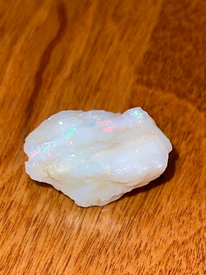
Spencer Opal Mines offers the clearest current alternative for visitors who want a structured digging experience during the 2026 season. The privately operated business at 27 Opal Avenue in Spencer lists its store as open Thursday through Monday from 9 a.m. to 6 p.m.
Digging at the tailings pile runs from 9 a.m. to 5 p.m. on those same days, weather permitting. The published 2026 price is $75 per person and $50 for children younger than 16, and no reservation is required for the tailings-pile experience.
Each participant receives a 2.5-gallon bucket for ore and assistance from staff, while material is brought from the mine throughout the season.
Opal may appear as thin seams or patches inside rhyolite rather than as a large loose gemstone, so patience and careful splitting matter.
Eye protection, sturdy footwear, and suitable hand tools remain sensible even when staff guidance is available.
Separate mine experiences are scheduled differently and may require advance booking, so they should not be confused with the walk-in tailings pile.
Calling before a long drive is wise because weather, staffing, or seasonal changes can affect digging. Spencer provides fee-based access without requiring visitors to interpret complicated public-land boundaries on their own.
3. Rock Flat, New Meadows
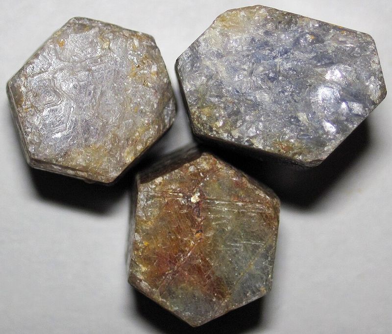
Rock Flat near New Meadows has a mineral record, yet it is better understood as a regional locality than a managed public digging site.
Idaho Department of Lands information documents pink garnets, rubies, corundum, sapphires, and reported diamonds from the Rock Flat and Little Goose Creek area.
Those records explain the location’s reputation, but they do not grant permission to collect on every parcel. Private property, patented ground, state endowment land, and active mining claims can all occur within the broader district.
Before carrying a shovel or pan into the field, check parcel ownership, consult the Bureau of Land Management’s Mineral and Land Records System, and obtain permission wherever mineral rights are controlled by someone else.
Surface searching on verified open public ground creates fewer complications than entering old workings or disturbing marked claims.
Visitors should avoid presenting diamonds as a likely discovery. Their documented presence makes the geology interesting, but an ordinary outing is far more likely to produce garnet-bearing material, corundum fragments, or nothing collectible.
New Meadows offers a practical base for maps and supplies, while local land offices can help narrow the search. Rock Flat rewards research first, with collecting possible only after legal access is confirmed.
4. Crystal Peak, Northeast Of Fernwood
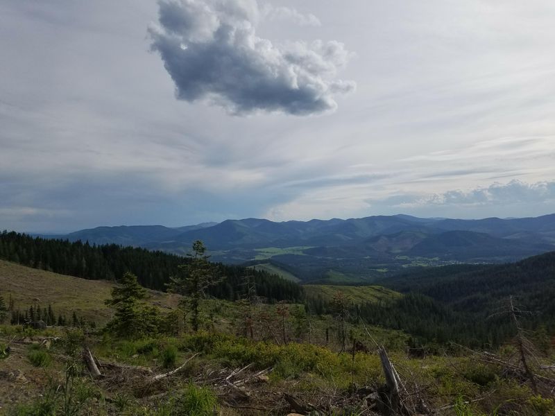
Crystal Peak northeast of Fernwood appears in Idaho Department of Lands records as a quartz-crystal locality in Benewah County.
That documentation supports the area’s reputation, but it does not confirm that every road, slope, or outcrop around the peak is open for public collecting.
Ownership can shift among private parcels, state land, timber holdings, and other jurisdictions, while mining claims may cover mineralized ground. A responsible visit begins with maps and confirmation from the land manager.
Do not rely on an online pin that labels the entire mountain as a free dig site. Quartz specimens may range from clear to milky, with shape and quality depending on the formation and weathering.
Claims about abundant smoky crystals or frequent double-terminated points should remain possibilities, not promises, unless a local source confirms the ground being visited.
Surface pieces on legally accessible land provide a sensible starting point, while deep excavation can create unnecessary disturbance.
Bring offline navigation because mobile service may be unreliable, and avoid blocking narrow roads used by residents or forestry traffic.
Crystal Peak can be a worthwhile quartz destination, but accurate ownership information is more valuable than vague directions copied from older collecting guides before any collecting trip begins.
5. Succor Creek, Near Homedale
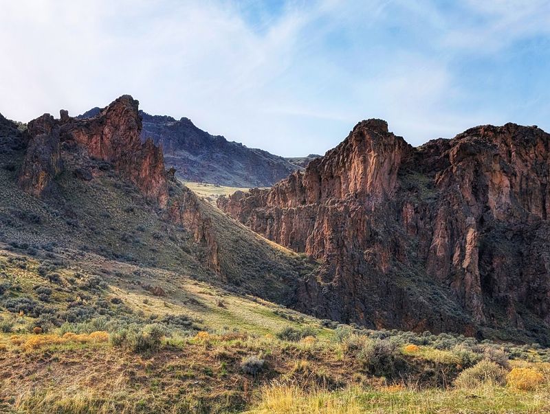
Succor Creek on the western edge of Owyhee County is documented for red-and-green agate, thunder eggs, and geodes that may contain quartz-lined cavities. The name can cause confusion because the creek crosses remote country near the Idaho-Oregon border and protected areas follow rules.
Idaho Department of Lands identifies the eastern fringe of Succor Creek as an agate locality, but that description does not turn the entire drainage into unrestricted collecting ground.
Confirm that the chosen parcel is open public land, outside active claims, and away from areas where collecting is prohibited.
Leslie Gulch in Oregon, for example, is an Area of Critical Environmental Concern where removing rocks is not allowed.
High-desert roads can become rutted or impassable after rain, and services are limited, so water, fuel, offline maps, and a spare tire are essentials.
Search exposed surface material and previously disturbed ground rather than cutting trenches into fragile slopes. Thunder eggs often look plain before cutting, and not every nodule contains a colorful or crystal-lined center.
That uncertainty is part of the experience. Succor Creek offers documented geology and wide scenery, but visitors should treat the landscape as a patchwork of land statuses rather than one marked public rockhound park.
6. Bruneau River Canyon, South Of Bruneau
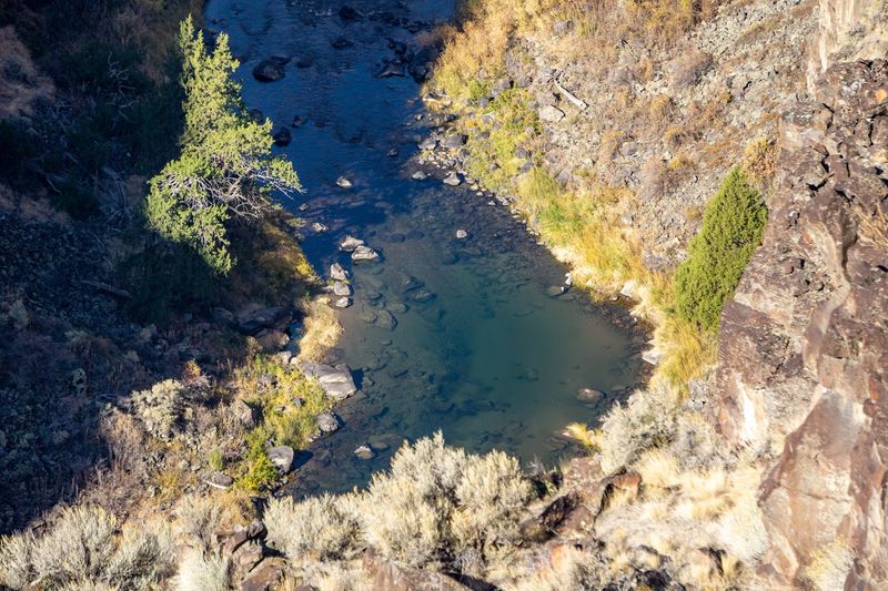
Bruneau jasper is famous for layered patterns that can resemble miniature desert scenes, yet the classic locality is not the same place as the Bruneau Canyon Overlook. Idaho Department of Lands places the material roughly 50 road miles south of Bruneau in the Bruneau River Canyon area.
The developed overlook, by comparison, sits about 18.7 miles from Highway 51 and exists as a scenic viewpoint.
BLM rules generally prohibit casual rock collection at developed recreation sites, so visitors should not chip stone beside the overlook or remove material from its grounds.
Anyone searching the wider canyon region must verify that the chosen parcel is open to collecting and not covered by an active claim, private mineral estate, wilderness restriction, or closure. Rough roads, limited services, and changing weather make preparation essential.
Two-wheel-drive vehicles can normally reach the overlook in suitable conditions, but remote routes may require additional clearance and navigation.
Jasper, quartz, and petrified wood are documented in portions of Owyhee County, although no specimen is guaranteed.
Treat the overlook as an orientation stop, then consult the BLM field office and current land-status maps before selecting legal collecting ground elsewhere. This distinction protects both the scenery and existing mineral rights.
7. Pole Creek, Near Hailey
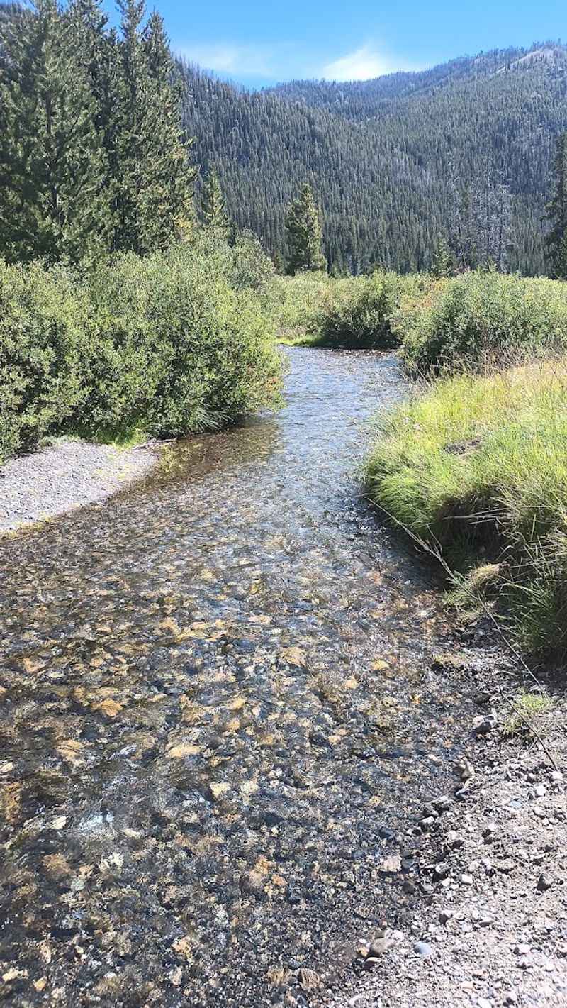
Pole Creek in Blaine County is listed by Idaho Department of Lands for amethyst and quartz crystals, with chalcedony also documented around Pole Creek Summit. Those references establish a mineral locality, but they do not support describing one road pullout as a maintained public rockhounding site.
Several Idaho places share the Pole Creek name, and directions can send visitors toward the wrong drainage or across land where collecting is not authorized.
Confirm the Blaine County location, road access, land ownership, and mining-claim status before leaving pavement.
Amethyst from the area may appear as pale purple quartz rather than large, deeply colored crystals, while clear or milky quartz can be more common.
Surface searching on verified open ground keeps disturbance low and allows visitors to compare pieces before choosing a small personal-use sample.
High-country weather can shorten the practical season, and snow or soft roads may block access beyond spring. Bring offline maps, extra water, and clothing suited to temperature changes.
Avoid old mine openings and leave historic objects undisturbed. Pole Creek’s appeal comes from documented quartz varieties and mountain scenery, but accuracy matters more than repeating a precise elevation or route that has not been confirmed by the land manager.
8. Bayhorse And Yankee Fork Mining Districts, Near Challis
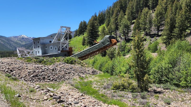
Quartz crystals are documented near Bayhorse and within the Yankee Fork mining district, but the region mixes historic attractions with surrounding federal and private lands.
Land of the Yankee Fork State Park protects Bayhorse Ghost Town, Custer, Bonanza, the Yankee Fork Gold Dredge, and other cultural sites.
Those places are meant for interpretation, photography, and learning rather than collecting rocks from buildings, foundations, equipment, or historic debris.
Bayhorse opened for the 2026 season on May 1, while the interpretive center near Challis operates Wednesday through Sunday.
Rockhounds interested in the wider district should ask park staff, the Forest Service, or the BLM where casual collecting may be allowed outside protected units and active claims.
Idaho Department of Lands records quartz crystals, calcite, agate, amethyst, citrine, and geodes in portions of Custer County, but a regional occurrence list is not permission to search old dumps indiscriminately.
Keep away from closed workings, claim markers, and unstable excavations. Surface specimens on verified open ground are the appropriate target.
Challis provides maps, fuel, and a base for exploring central Idaho. A visit can combine geology with history, provided the ghost towns remain intact and collecting happens only where the land manager explicitly allows it.
9. War Eagle Mountain, Near Silver City
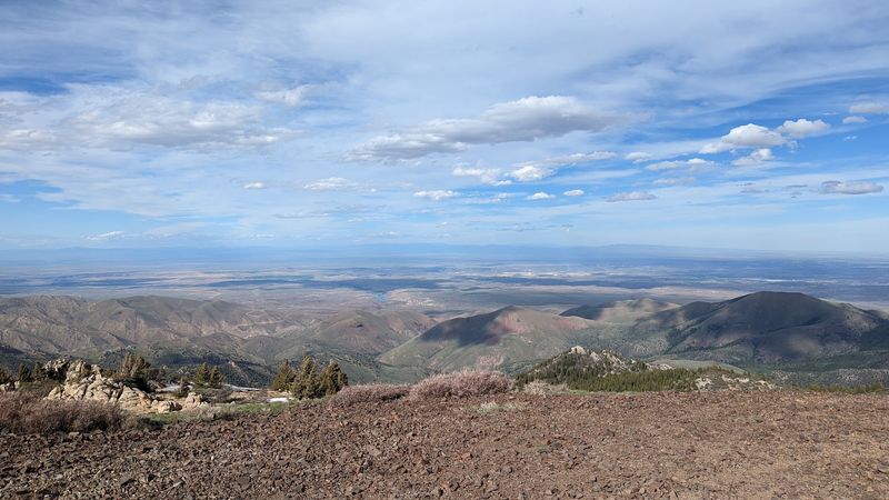
War Eagle Mountain above Silver City is associated with amethyst, chalcedony, quartz, and minerals documented across the surrounding Owyhee district. The geology is real, but the mountain is not a simple open-access gemstone field.
Private parcels, patented ground, and active mining claims occupy parts of the area, so visitors cannot assume that public road access grants permission to remove mineral specimens.
Check the BLM Mineral and Land Records System, county parcel information, and posted claim notices before collecting anywhere.
Idaho Department of Lands lists amethyst near War Eagle Mountain, chalcedony in the War Eagle and Florida Mountain areas, and quartz around Silver City mines.
Those references describe occurrences rather than guaranteed legal dig sites.
Silver City Road is seasonal and typically reopens around Memorial Day when snow and surface conditions allow. Owyhee County should be consulted when road status is uncertain.
Carry water, fuel, offline navigation, and a spare tire because services disappear quickly beyond the valley. Keep clear of old mine openings and leave historic materials where they are found.
War Eagle works best for experienced rockhounds prepared to research a specific parcel, not visitors following a broad map label and hoping every exposed vein is available to collect.
10. Beacon Hill, West Of Weiser

Beacon Hill northwest of Weiser is known for agate nodules and amethyst-lined thunder eggs, but access is not open to unscheduled public digging.
Idaho Department of Lands documents the locality’s scenic and dendritic patterns, while trip records identify the principal collecting ground as a claim controlled by the Idaho Gem Club.
That ownership changes how the site belongs in a travel guide. Visitors should join an authorized club outing or obtain permission rather than approaching a gate and assuming an old reference grants entry.
Organized trips also provide value because experienced leaders understand claim boundaries, suitable tools, and the hard layer where nodules occur.
Finds can display mossy, fortification, eye, or needle-like patterns, yet quality varies and no participant is guaranteed a showpiece.
Hand tools, eye protection, sturdy footwear, water, and patience are useful when a scheduled dig is available. Current club rules, membership requirements, dates, and collection limits should be confirmed before travel.
Nearby public land may follow different regulations and may contain separate claims, so it should be checked independently.
Beacon Hill remains an Idaho agate locality, but the accurate invitation is to visit through permission, not to treat private claim ground as a freely accessible roadside stop.