These 10 Idaho Scenic Drives Look Peaceful Until You Learn Their Stories
Gorgeous roads wind through pine forests, canyon walls, and lakes that look freshly painted. But pull over and dig a little, because each pretty stretch hides a wild backstory.
Idaho blends breathtaking scenery with deeply layered history like few road trips can match.
Old legends and half-forgotten losses still lurk quietly behind the prettiest, camera-ready curves.
One route feels calm and wide open, while the very next carries a darker, dramatic undertone.
Because the stories run so deep, the scenery becomes only the opening act here.
Which story-soaked drive would you bravely tackle first once you finally know the truth?
1. Silver Valley
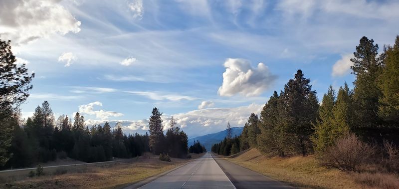
This stretch of I-90 through northern Idaho looks like a postcard.
Pine-covered mountains rise on both sides, and the little towns of Wallace and Kellogg feel frozen in a good way. But the Silver Valley carries weight that the scenery quietly hides.
In 1972, the Sunshine Mine disaster claimed about 90 miners in one of the worst hard-rock mining tragedies in U.S. history. A memorial near Kellogg marks the spot where families waited for news that never came the way they hoped.
Then there is Burke Canyon, a gorge so narrow that the town of Burke was literally squeezed between its walls.
The railroad ran straight through the hotel lobby because there was simply no other room. The hotel had doors on both ends so trains could pass through without stopping.
Today, Burke is a ghost town, and the canyon is eerily quiet. Hikers and history buffs make the drive to see what remains of the old structures clinging to the hillside.
The contrast between the peaceful forest and the heavy past makes this one of Idaho’s most layered road experiences. Nature reclaims things slowly, but it never quite erases the story underneath.
2. Hells Canyon Scenic Byway
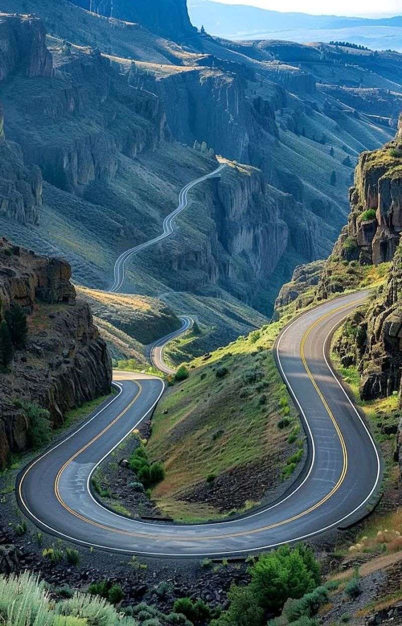
Hold the phone, because the deepest river gorge in North America is right here in this state, and most people have never even heard of it.
The Hells Canyon Scenic Byway hugs the edge of this jaw-dropping landscape as it winds through western Idaho toward the Oregon border. The views are genuinely hard to process from a car window.
But the name “Seven Devils” attached to the jagged mountain range nearby isn’t just dramatic branding.
According to Nez Perce legend, those peaks were once seven enormous monsters that terrorized the land by eating children. A hero asked the Great Spirit for help, and the monsters were turned to stone as punishment.
Standing at a pullout and staring at those rocky summits, it is easy to see how the legend took shape. The peaks are angular, menacing, and oddly creature-like from certain angles.
The byway itself passes through remote terrain with very few services, so planning ahead is essential.
Spring and early fall bring the most comfortable temperatures for driving. Wildflowers carpet the canyon rim in May, and golden grasses take over by September.
The history and legend packed into this landscape make every mile feel like more than just a pretty drive through the state’s rugged west.
3. Ponderosa Pine Scenic Byway
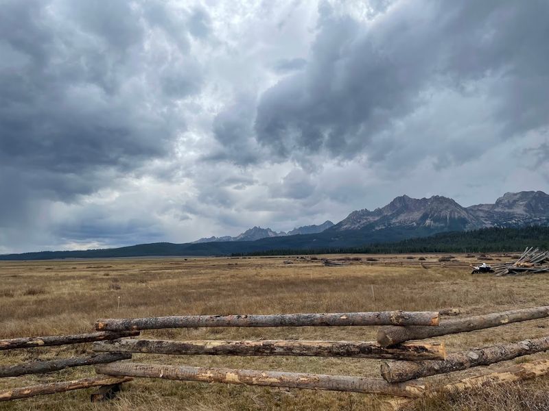
Just imagine for a second driving through a cathedral of ponderosa pines so tall they block out chunks of sky.
That is exactly what the Ponderosa Pine Scenic Byway delivers between McCall and Lowman. The road curves through one of the most aromatic forests in the Pacific Northwest, and the scent alone is worth the trip.
Payette Lake sits near the northern end of the byway, and it is gorgeous in that deep, cold, mountain-lake way. But locals have been talking about something in those waters for nearly a hundred years.
A creature nicknamed “Sharlie” has been reported by enough people over enough decades that the legend has real staying power.
Sightings describe a large, serpentine animal moving through the lake, sometimes leaving a wake with no boat attached.
Whether Sharlie is real or a product of mountain air and overactive imaginations is still up for debate. The legend adds a layer of mystery to what is already a stunning body of water.
McCall itself is worth a stop before or after the drive, with lakeside trails and a charming downtown. The byway is best in summer when the snow has cleared and the pines are at their most fragrant.
Pack a picnic and keep your eyes on the water just in case Sharlie decides to show up.
4. Sawtooth Scenic Byway
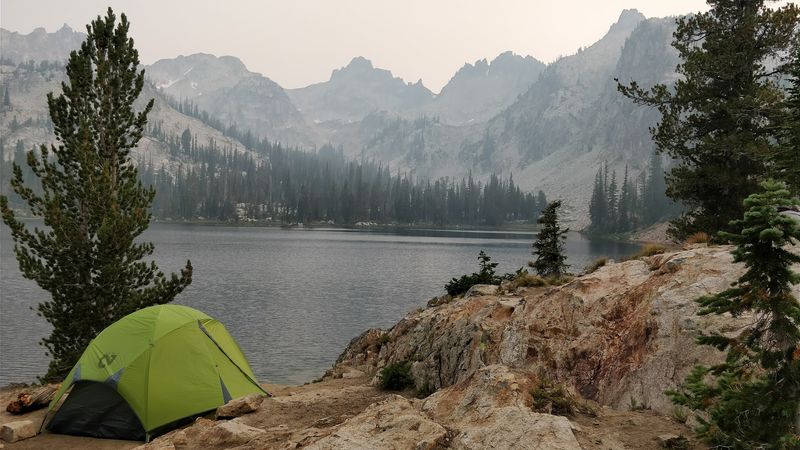
I had to do a double-take the first time I saw the Sawtooth Range from the highway because those peaks look almost too dramatic to be real.
The Sawtooth Scenic Byway runs through the heart of central Idaho, connecting Sun Valley in the south with Stanley in the north. The landscape shifts constantly, from sagebrush flats to alpine meadows to the kind of granite spires that belong on a calendar.
But tucked into side canyons along this route are the ghost towns of Custer and Bonanza, and they tell a harder story. Both towns boomed in the 1870s and 1880s when silver and gold brought thousands of miners into the mountains.
When the ore ran out, the people left almost overnight.
What remains are weathered wooden structures, rusted equipment, and cemeteries where the headstones outnumber the living descendants who remember those names.
Walking through the Custer cemetery on a quiet afternoon is a genuinely sobering experience. Many graves belong to young men who came west chasing a dream that didn’t pan out.
The byway is accessible most of the year, though snow can close sections in winter. Summer is peak season, and Stanley makes an excellent base camp for exploring both the mountains and the mining history.
The Sawtooths are beautiful, but they earned their jagged edges.
5. Salmon River Scenic Byway
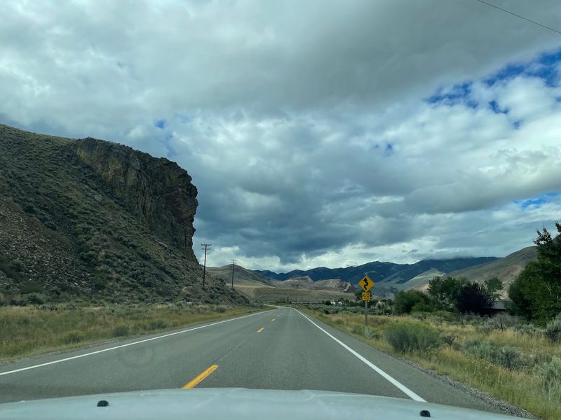
You took the words right out of my mouth if you called this one of the most dramatic river drives in the American West.
The Salmon River Scenic Byway follows the main Salmon River through central Idaho, cutting through canyons so deep they feel like a different world. The water is cold, fast, and the color of glacial mint.
The river earned the name “River of No Return” honestly. Early settlers and explorers who floated downstream quickly discovered that the current was far too powerful to paddle back upstream.
Many who traveled this way were essentially stranded, forced to find land routes out of the canyon.
That name wasn’t poetic license. It was a warning passed down through generations of people who learned the hard way. The river claimed boats, supplies, and occasionally the people trying to navigate it.
Jetboats eventually made upstream travel possible, but the nickname stuck because the history behind it is too real to shake.
Today, the byway is a favorite for whitewater rafting trips, fishing, and wildlife watching. Black bears, elk, and bighorn sheep are commonly spotted along the canyon walls.
The town of Salmon serves as a good starting point for the drive north toward the Frank Church Wilderness. The scenery is stunning, but the river has earned every bit of its fearsome reputation.
6. Northwest Passage Scenic Byway
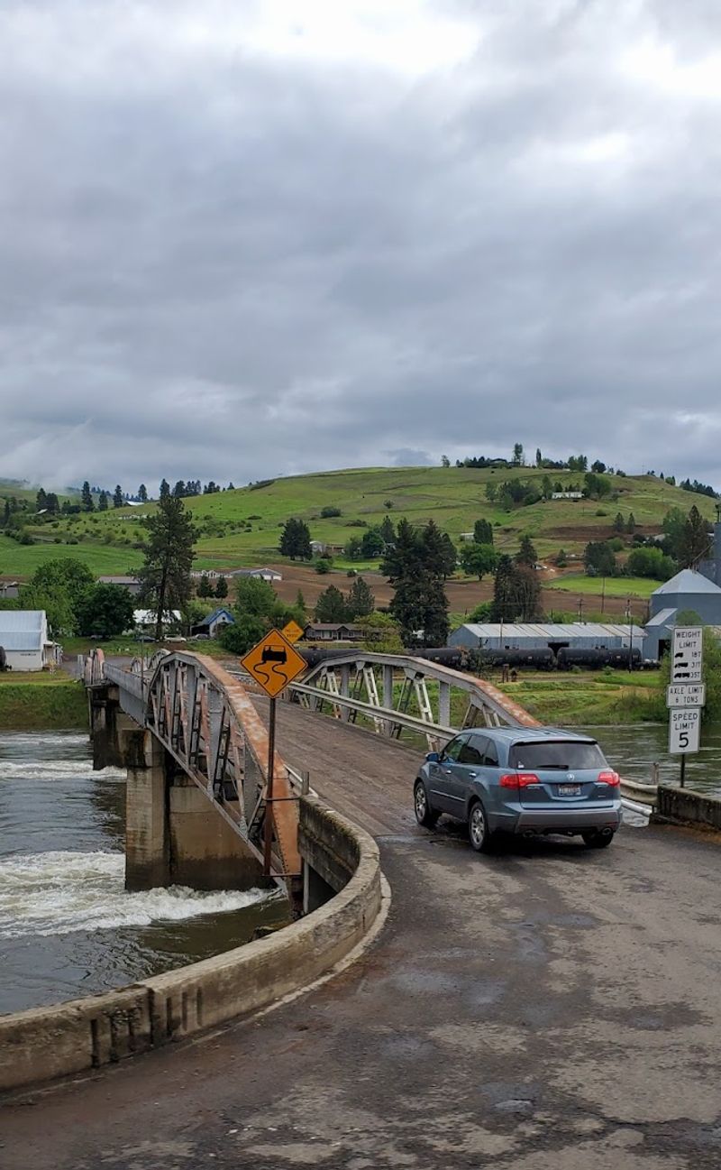
The road you’re driving on was once a near-fatal mistake for one of America’s most famous expeditions.
The Northwest Passage Scenic Byway follows the Lolo Pass route through the Bitterroot Mountains of northern Idaho, tracing the steps of Lewis and Clark in the fall of 1805. The Corps of Discovery crossed this terrain in late September and nearly didn’t make it out.
Snow hit early that year, the trail was brutal, and the men ran out of food. They survived partly by eating their own horses.
The journals from that crossing describe exhaustion and suffering that the current paved road makes almost impossible to imagine.
Decades later, the same route became significant again during the Nez Perce War of 1877.
Chief Joseph led his people through these mountains in a desperate retreat toward Canada, covering hundreds of miles in a race that ultimately ended in surrender just short of the border.
The byway passes through land that witnessed both of those defining American stories.
Lolo Pass sits on the Idaho-Montana border and offers a small visitor center with historical exhibits. The drive is best in summer and early fall when the views are clear and the history feels close.
Few highways in the country carry this much documented weight per mile. Pull over often and let the forest remind you what passed through here.
7. Lake Coeur D’Alene Scenic Byway
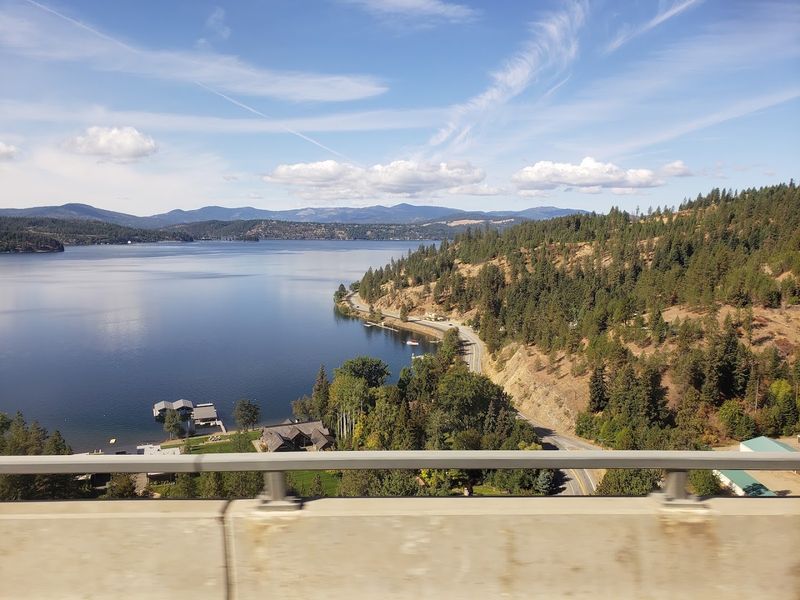
Some of the most beautiful lakes in this state come with the most heartbreaking stories attached to them.
The Lake Coeur d’Alene Scenic Byway winds through the northern panhandle of the state, offering water views that genuinely stop traffic. The route stretches northwest toward the smaller and far lesser-known Spirit Lake.
Spirit Lake carries a legend from the Kootenai people that has been passed down for generations. According to the story, two young people from rival groups fell in love in a time when their union was forbidden.
Rather than live apart, they chose to enter the lake together and never return to the surface. The Kootenai say the lake holds their spirits still, which is how it earned its name.
Standing at the shoreline on a still morning, when the mist sits low on the water and nothing moves, the legend doesn’t feel far-fetched at all. There is something genuinely atmospheric about that lake that is hard to put into words.
The byway itself is a pleasant drive through tall timber and small lakeside communities. Coeur d’Alene is a lively town with good restaurants and easy access to the water.
The drive toward Spirit Lake adds a quieter, more remote feel to the experience. Go in the morning for the best light and the most reflective water surface.
8. Massacre Rocks And The Snake River Stretch
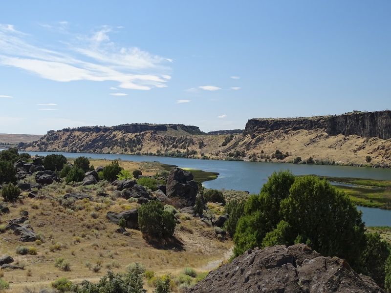
A road named after a massacre is going to have a story, and this one delivers.
The Snake River stretch near American Falls passes through Massacre Rocks State Park, a place where the name is not a metaphor or a marketing move.
In August of 1862, a group of Oregon Trail emigrants was attacked near these lava formations, and the violence left a mark on this landscape that history hasn’t let fade.
The rocks themselves are massive basalt formations that the emigrants found both useful and terrifying. The narrow gap between them forced wagon trains into tight single-file lines, making them vulnerable.
The site became a flashpoint, and the name that followed was blunt and permanent.
Layered on top of that history is the “Water Babies” legend, tied to the same stretch of river by the Shoshone-Bannock people. The legend describes small spirits that live in the river, crying like infants to lure travelers toward the water.
It was a cautionary tale meant to keep people away from dangerous currents, but the imagery is haunting regardless of its practical origins.
Massacre Rocks State Park is open year-round and still contains visible Oregon Trail ruts. The park sits along Idaho Highway 86 near American Falls.
Camping is available, and the geology alone makes the stop worthwhile even before the history enters the picture.
9. City Of Rocks Backcountry Byway
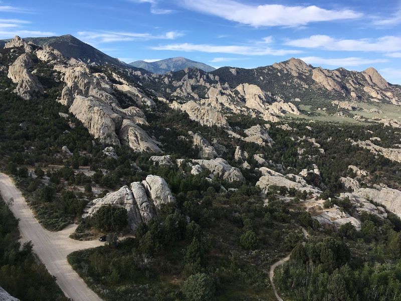
These granite formations, some over two billion years old, look like the ruins of a civilization that never existed.
The Backcountry Byway winds through the City of Rocks National Reserve near Almo, on roads that range from paved to genuinely rough gravel.
What makes this drive more than just a geology lesson are the names carved into the rocks themselves. California Trail emigrants passing through in the 1840s and 1850s used axle grease to write their names, dates, and messages on the stone.
Some of those markings are still visible today, faded but readable. Reading them is a strange and moving experience. Some entries are simple, just a name and a year.
Others hint at hardship, illness, or the uncertainty of what lay ahead in the crossing to California. A few record losses that the writers clearly weren’t sure they would survive.
Rock climbing is now one of the main draws here, with hundreds of established routes on the granite faces. The reserve is managed jointly by the National Park Service and the Idaho Department of Parks and Recreation.
Spring and fall are the best seasons for the drive, as summer heat can be intense. The rocks hold centuries of stories in their stone.
10. Thousand Springs Scenic Byway
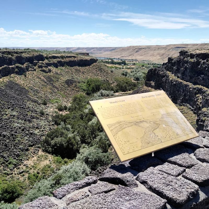
Correct me if I’m wrong, but a highway where waterfalls pour straight out of canyon walls and into a river below should be famous worldwide.
The Thousand Springs Scenic Byway runs along the Snake River Canyon, passing one of the most visually unusual landscapes in the entire Pacific Northwest.
The springs emerge from the basalt cliffs because the Snake River Plain acts as a giant underground aquifer, and the water has to go somewhere.
The science is fascinating, but the human history along this stretch is harder to sit with. During the Snake War of the 1860s, this region saw some of the most intense conflict between U.S. military forces and the Shoshone and Bannock peoples.
The war stretched across southern Idaho and Oregon, fueled by competition over land, water, and survival.
The canyon was central to Shoshone life for thousands of years before settlers arrived. Fishing, particularly for salmon, was essential to their culture and economy.
The displacement that followed the conflict reshaped this landscape in ways that the scenic beauty of the byway quietly masks.
The byway runs through the Hagerman Valley, passing Hagerman Fossil Beds National Monument and several heritage sites.
The town of Hagerman makes a good stop for a meal and a look at the fossil displays. The springs are most impressive in late spring when water levels are high. Beauty and history share every mile of this road.