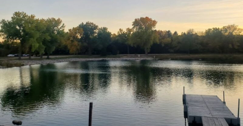
Nebraska’s Largest Lake Has Become The Center Of A Growing Water Debate
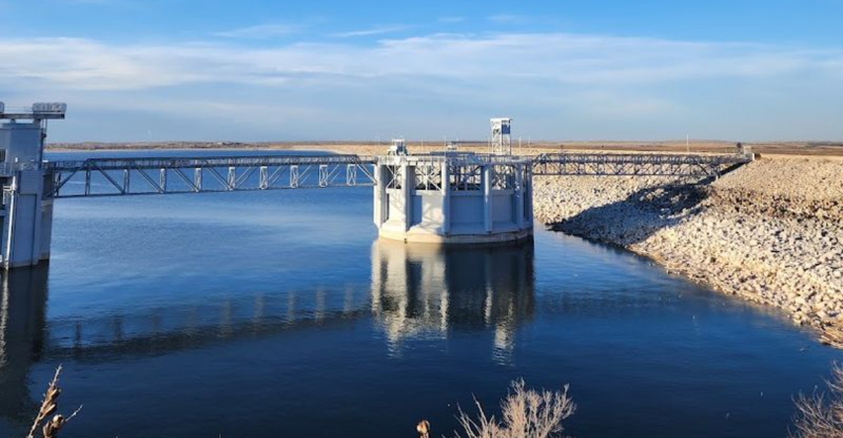
A shrinking shoreline can change far more than the view.
Boat ramps stretch farther toward the water. Familiar beaches look different.
Conversations that once centered on summer fun now carry questions about how the lake should be managed and who depends on it most.
Nebraska’s largest lake has become part playground, part warning sign.
You may arrive expecting wide water and open space, yet the real story begins once you notice what has changed.
Farmers, nearby communities, visitors, and wildlife all have something at stake, which makes every decision feel more complicated than it first appears.
There is no simple villain and no easy solution. That tension has turned a beloved destination into the center of a much larger debate.
See How Quickly Nebraska’s Largest Reservoir Is Shrinking
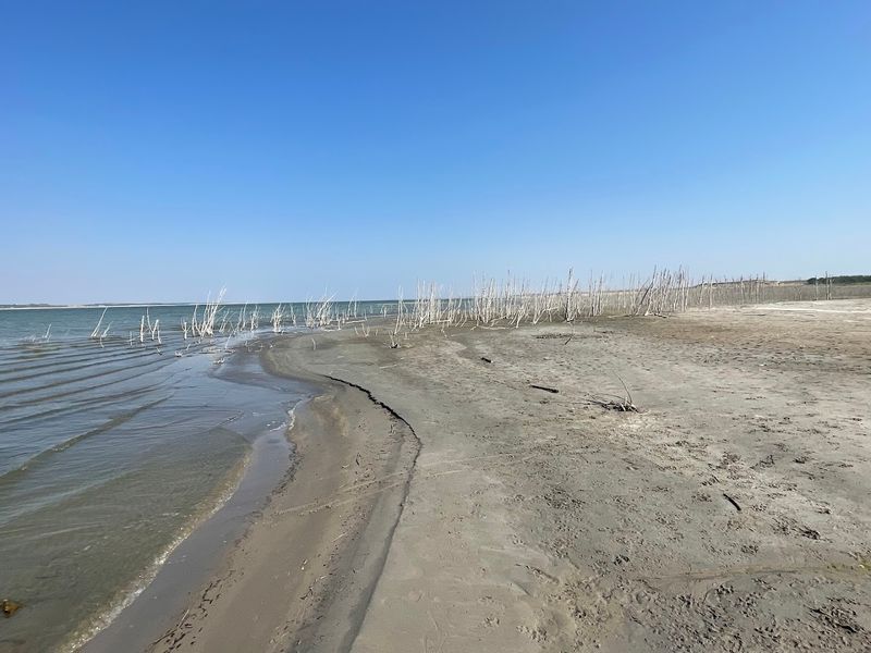
Numbers rarely tell a story as clearly as the one unfolding at Lake McConaughy right now.
On July 29, 2026, the reservoir sat at just 28.7% of its total capacity, a figure that marks its lowest recorded level since 2006.
Just five days earlier on July 24, 2026, the capacity stood at 30.5%, meaning the lake lost nearly two full percentage points in less than a week.
Earlier in the 2026 season, the picture looked somewhat less alarming.
Back in early June, the reservoir was reported at approximately 44.7% capacity, and by April it had entered the warm season at roughly 51%.
That steady downward slide through late spring and early summer reflects just how quickly conditions can shift when inflows slow and demand stays high.
At full capacity, Lake McConaughy covers tens of thousands of acres and stands as a defining feature of the Nebraska landscape.
Watching those acres of open water shrink into wide stretches of exposed sandy lakebed puts the scale of the situation into sharp perspective.
For communities that rely on this reservoir for irrigation, power, and recreation, each percentage point lost carries real weight.
Why Did Record-Low Inflows Raise The Alarm
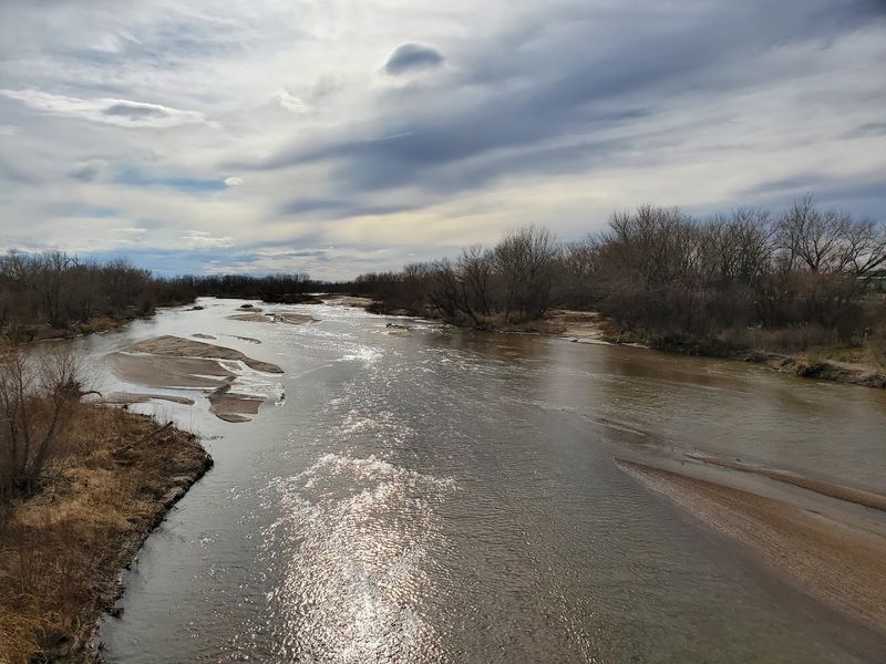
The shrinking of Lake McConaughy does not happen in isolation.
The most direct cause of the reservoir’s declining levels is a dramatic reduction in the volume of water flowing into it, driven largely by conditions that begin hundreds of miles away in the Rocky Mountains.
Insufficient snowpack during the 2025-2026 winter season meant that the North Platte River carried far less meltwater than usual into the basin.
The numbers from May and June of 2026 make that reality concrete.
During those two months, inflows into the reservoir averaged just 388 cubic feet per second, which represents only 22% of the historical average recorded for that same period since 1941.
Persistent drought across the broader North Platte River watershed compounded the problem, reducing both natural streamflow and the return flows that typically come from upstream irrigation activity.
Return flows, which are the water that drains back into the river system after being used for irrigation upstream, normally contribute a meaningful share of the lake’s supply.
With drought affecting those upstream operations as well, even that secondary source has weakened considerably.
Water managers tracking these trends have described 2026 as part of a multi-year dry stretch that shows no easy or immediate path toward recovery.
Where The Lake McConaughy’s Water Actually Comes From
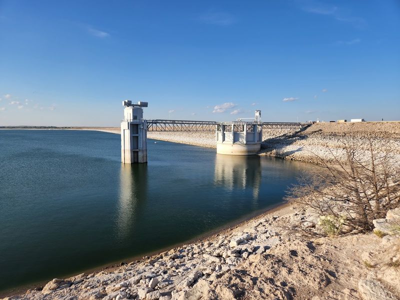
Most visitors arriving at the lake’s sandy beaches probably do not spend much time thinking about where all that water originated.
The answer stretches back to the Rocky Mountains of Colorado and Wyoming, where the North Platte River begins its long journey eastward across the plains.
That river is the primary source feeding the reservoir, draining a watershed that spans an impressive 32,500 square miles west of Kingsley Dam.
Upstream along the North Platte River in Wyoming, a series of U.S. Bureau of Reclamation reservoirs capture precipitation and snowmelt from the mountains.
Those facilities regulate the flow of water downstream, using it for irrigation and hydroelectric power generation within the broader North Platte Projects system.
A substantial portion of the water that eventually reaches Lake McConaughy arrives as return flows from those upstream irrigation operations.
The reservoir itself has a history rooted in agricultural need. Construction took place between 1936 and 1941, with the central purpose of storing North Platte River water specifically for irrigation use in central Nebraska.
That original mission still drives how the lake is managed today, even as recreational use and environmental obligations have added layers of complexity to decisions about how and when to release or retain water.
Follow Nebraska’s Growing Water Dispute With Colorado
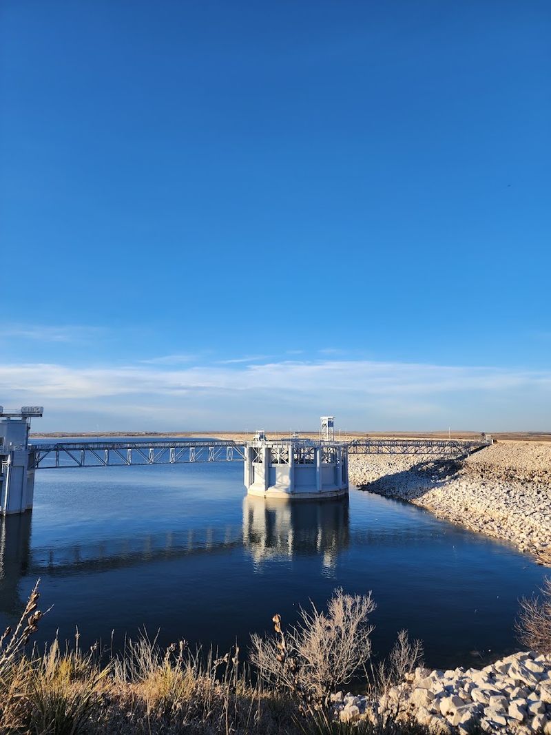
Few things accelerate a water crisis quite like a legal battle between neighboring states, and that is exactly what Nebraska is navigating right now.
In July 2025, Nebraska filed a lawsuit against Colorado seeking enforcement of the 1923 South Platte River Compact, a binding agreement ratified by both state legislatures and Congress in 1926.
The compact specifies how much South Platte River water Nebraska is entitled to receive during both irrigation and non-irrigation seasons.
Nebraska’s position is that Colorado is violating the compact by allowing unauthorized water diversions and actively blocking the construction of the Perkins County Canal.
That canal project, revived in late 2021, would divert water from the South Platte River near Ovid, Colorado, and transport it to a new storage facility inside Nebraska.
Colorado’s water system relies heavily on return flows from agricultural use being recycled multiple times before leaving the state, a practice Nebraska argues interferes with its rightful allocation.
The U.S. Supreme Court agreed to hear the case in July 2026, elevating the dispute to the nation’s highest legal stage.
Nebraska points to Colorado’s rapidly expanding urban development along the Interstate 25 corridor and plans for additional water storage as growing threats to the water supply the compact was designed to protect.
Why Do Farmers Depend So Heavily On The Reservoir
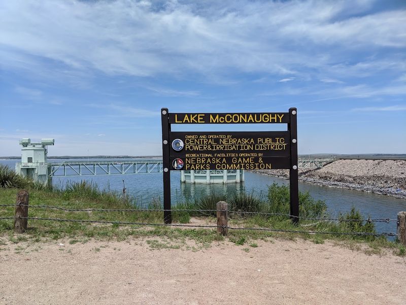
Agriculture and water are inseparable across the Nebraska plains, and nowhere is that connection more visible than in the relationship between local farms and Lake McConaughy.
The reservoir was built specifically to support irrigation, and that original purpose remains deeply embedded in how the region’s farming economy functions.
Water stored in the lake currently supports supplemental irrigation for more than 110,000 acres along the North Platte River and the main stem of the Platte River.
Zoom out a bit further and the scale becomes even more striking. Directly and indirectly, water from the reservoir is used to irrigate over 530,000 acres across Nebraska.
The Central Nebraska Public Power and Irrigation District, which manages the lake, delivers irrigation water through an extensive canal network that reaches agricultural producers across a wide service area.
Beyond surface water delivery, the project also plays a quieter but equally vital role in groundwater recharge, documenting an impact on more than 310,000 acres in and around its service area.
Farmers who pump from wells depend on that underground replenishment staying healthy season after season.
When the reservoir runs low, both surface deliveries and groundwater recharge suffer, and some irrigation districts have already begun implementing limits on how much water producers can draw during the current shortage.
Watch Low Water Reshape Boating Access Around The Lake
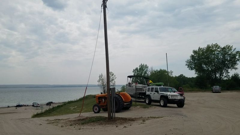
Boating at Lake McConaughy has always required some local knowledge, but the 2026 season has taken that requirement to a new level.
As of July 24, 2026, only two of the original fourteen boat launch locations remained operational.
That dramatic reduction in access points means that anyone arriving with a watercraft needs to plan carefully and check current conditions before heading out.
Management staff have worked to create alternatives where possible.
A sand roadway leading to Spillway Bay connects to an emergency boat ramp, though a four-wheel-drive vehicle is strongly recommended for navigating that route.
Divers Bay is being converted into a shallow-water launch area specifically designed for smaller boats and personal watercraft, which helps ease congestion at the remaining operational ramps.
Specific guidance has been issued for the Martin Bay low water ramp, advising boaters to keep larger watercraft closer to the west side near the dock and jet skis toward the east side near the dam, avoiding a raised area in the center.
Extremely shallow waters west of Sand Point should be avoided entirely. Local tractor launch services are available on both the north and south sides of the lake for those who need extra help getting their boats in and out safely.
The dock at Divers Bay has been removed, limiting that area to personal watercraft and flat-bottom jon boats.
What Do Falling Levels Mean For Summer Recreation
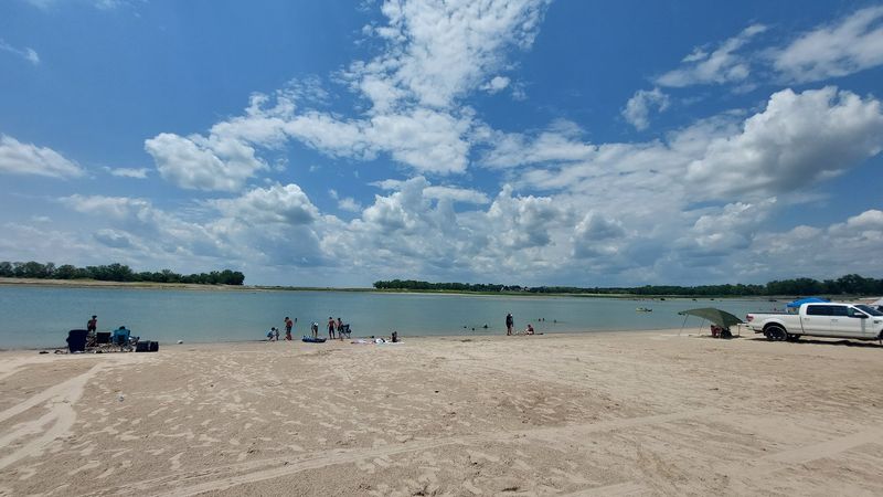
Falling water levels might sound like a reason to cancel a summer trip, but the full picture at Lake McConaughy is more nuanced than that.
Major recreational services including popular beaches, numerous campgrounds, and various lodging facilities remain fully open and accessible throughout the 2026 season.
An unexpected upside of the receding waterline is the appearance of even wider beach areas along the shoreline, giving visitors more room to spread out and enjoy the sand.
Campers staying at sites equipped with electricity and showers should be prepared for a longer walk or drive to reach the water’s edge than in previous years.
At Little Thunder campground specifically, some sites are now approximately three-quarters of a mile from the waterline. Planning ahead and packing accordingly makes a real difference in how comfortable those extra steps feel.
Fishing remains a solid option across the lake. White bass are being caught near schools of bait fish, walleye are still biting with live bait, and smallmouth bass can be found around the dam and rocky points.
Catfish are active throughout the lake, and trout can still be found in the river and canal below Lake Ogallala.
The Difficult Choices Facing Water Managers
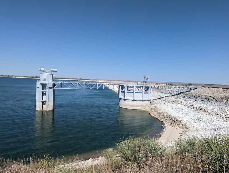
Managing a reservoir as large and as heavily used as Lake McConaughy involves balancing pressures that rarely point in the same direction.
The Central Nebraska Public Power and Irrigation District owns and operates Kingsley Dam and the reservoir itself, while the Nebraska Game and Parks Commission oversees the recreational side of the area.
Together, these agencies must weigh irrigation demands, hydroelectric production, environmental obligations, and recreational needs against a water supply that has been shrinking for years.
Drought cycles, mountain snowpack levels, upstream reservoir capacities, and the volume of irrigation releases all feed into daily water management decisions.
The lake also holds an environmental account, a dedicated allocation of water set aside to support threatened and endangered species.
Releases from that account are sometimes used to create sandbar islands that provide nesting habitat for birds like the piping plover, adding another layer of complexity to outflow decisions.
Hydroelectric power generation at the dam is also affected by low water levels, as reduced head pressure limits how much electricity the facility can produce at peak capacity.
To meaningfully increase the reservoir’s storage, either inflows must rise substantially or outflows must be reduced, and both options face real constraints given the scale of water demand across the region.
Kingsley Dam is also scheduled for facing repairs beginning in the spring of 2029, adding future planning considerations to the current management picture.