The Gorgeous 43-Mile North Carolina Scenic Drive That Feels Better Than Meditation
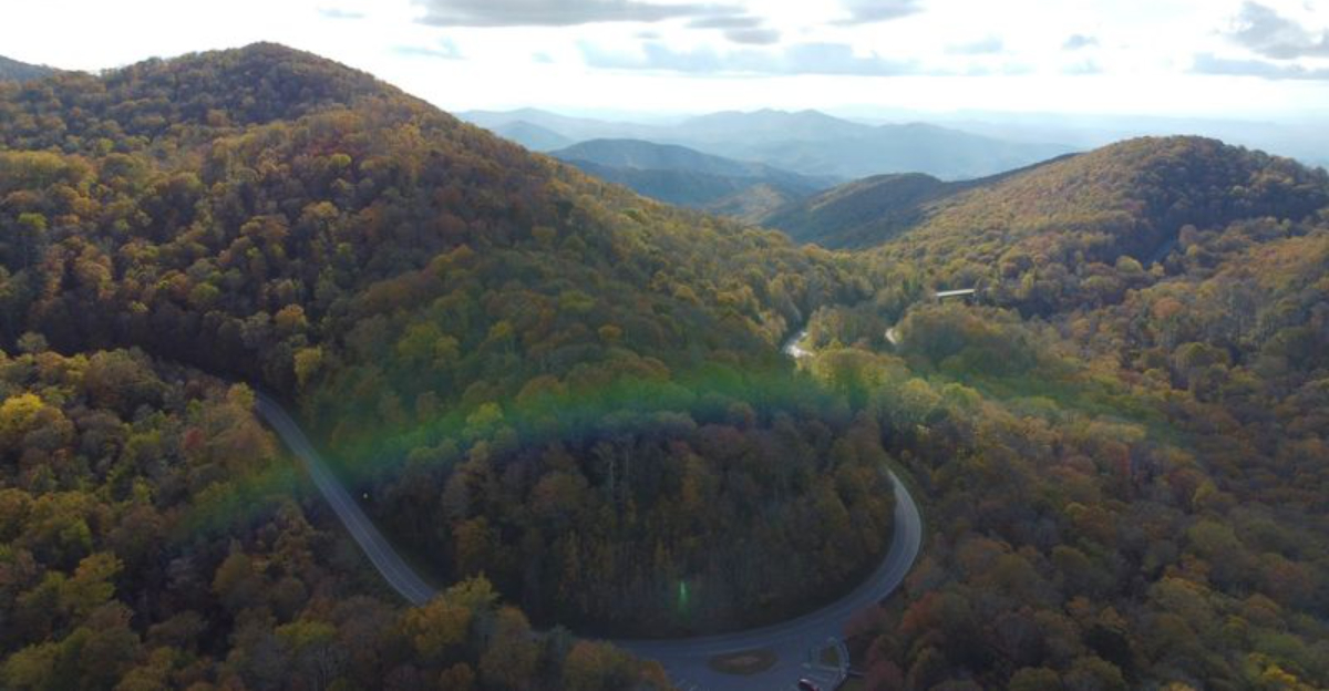
At some point, the playlist stops mattering. You are too busy looking out the window.
The road keeps climbing until North Carolina starts dropping away beneath you, and suddenly every overlook feels like it deserves its own five-minute delay. That is how a 43-mile drive turns into an afternoon without asking permission.
The scenery does not arrive all at once. It builds. A ridge appears. Then another sits behind it.
Soon the horizon looks stacked with mountains, and the car feels very small in the middle of all that space.
This is the kind of route that makes rushing seem ridiculous. Nobody needs to “make good time” here.
The better goal is to lose track of it completely. By the end, the odometer says you covered 43 miles.
Your brain may insist you went much farther.
Roll Down The Windows And Let The Mountain Air Do The Rest
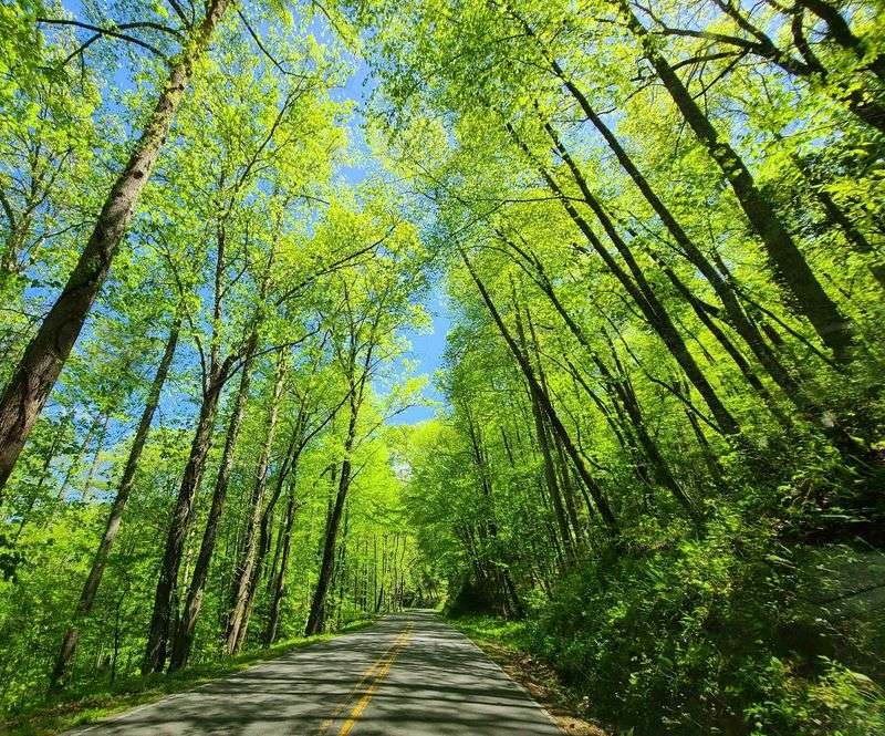
Elevation does much of the work as the Cherohala Skyway climbs away from the lower valleys. Near Tellico Plains, the route begins at roughly 900 feet above sea level before reaching mountain country above 5,400 feet near the Tennessee-North Carolina state line.
On the North Carolina side alone, the road rises from about 2,660 feet to 5,390 feet in just over 10 miles. That dramatic change can bring noticeably cooler conditions at the higher pull-offs, even when lower elevations feel much warmer.
Forest also changes along the way. Lower slopes are dominated by broadleaf Appalachian woodland, while higher ridges bring a different mix of vegetation and more exposure to mountain weather.
Rolling down the windows can be enjoyable on a mild day, but it is better treated as an option than a requirement. Fog, rain, wind, and changing temperatures can arrive quickly at elevation.
A light extra layer in the car is useful even during summer. The strongest part of this experience is the contrast.
You can leave a warm valley, climb for a relatively short distance, and step out into air that feels completely different without ever leaving the same scenic highway.
You Can Pull Over Whenever The View Gets Too Good To Ignore
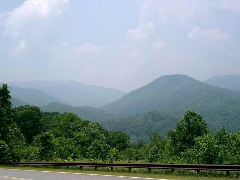
Pull-offs are built into the personality of this road. The Cherohala Skyway includes multiple scenic overlooks where drivers can leave the travel lane safely and spend a few minutes looking across layers of Appalachian ridges.
Some views open toward deep valleys. Others face long mountain horizons where successive ridgelines fade into softer shades of blue.
The exact experience depends heavily on weather. A clear morning may provide enormous views, while clouds and fog can turn the same overlook into something much more enclosed.
That unpredictability is part of the appeal. You do not need to stop at every pull-off, and there is no prize for collecting them all.
Choose the ones that catch your attention and give yourself time to actually step out of the car. The road was built as a scenic route rather than simply a high-speed connection between states, so frequent stops fit the experience naturally.
Photography is easy from many of the established viewpoints, but the better approach is not to spend every stop looking through a screen. Some scenes are more memorable when the phone stays in your pocket for a minute and the mountains get your full attention instead.
Climb From Forested Valleys To High-Elevation Overlooks
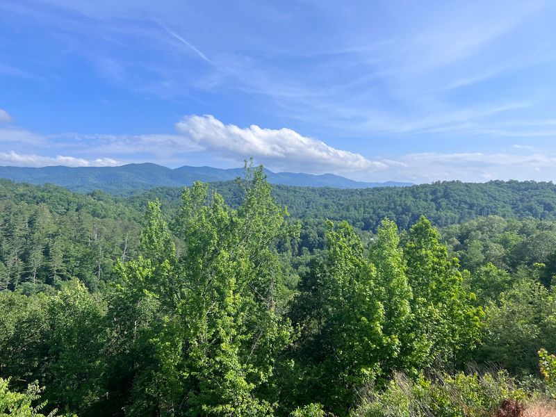
The vertical change along this drive is every bit as interesting as the mileage. Starting from the Tennessee side, elevations begin around 900 feet near the Tellico River and eventually climb beyond 5,400 feet near the state line.
That is an increase of more than 4,000 feet across one continuous road. The North Carolina portion offers its own concentrated version of the climb, rising from roughly 2,660 feet to 5,390 feet over just more than 10 miles.
Santeetlah Overlook sits at that 5,390-foot elevation and ranks among the highest road-accessible viewpoints along the route. Huckleberry Knob rises even higher nearby and can be reached by a short hike from the Skyway.
Those elevation changes also affect what you see. Lower valleys feel enclosed by forest and watercourses.
Higher stretches open toward ridges, distant mountain systems, and broad sections of the Nantahala National Forest. The experience never feels like one enormous climb because long curves break the ascent into stages.
Then you stop at an overlook and suddenly realize just how far below the earlier landscape has dropped. That gradual reveal is one of the strongest reasons to drive the entire route rather than sample only a short section.
Watch The Landscape Change Around Every Long Mountain Curve
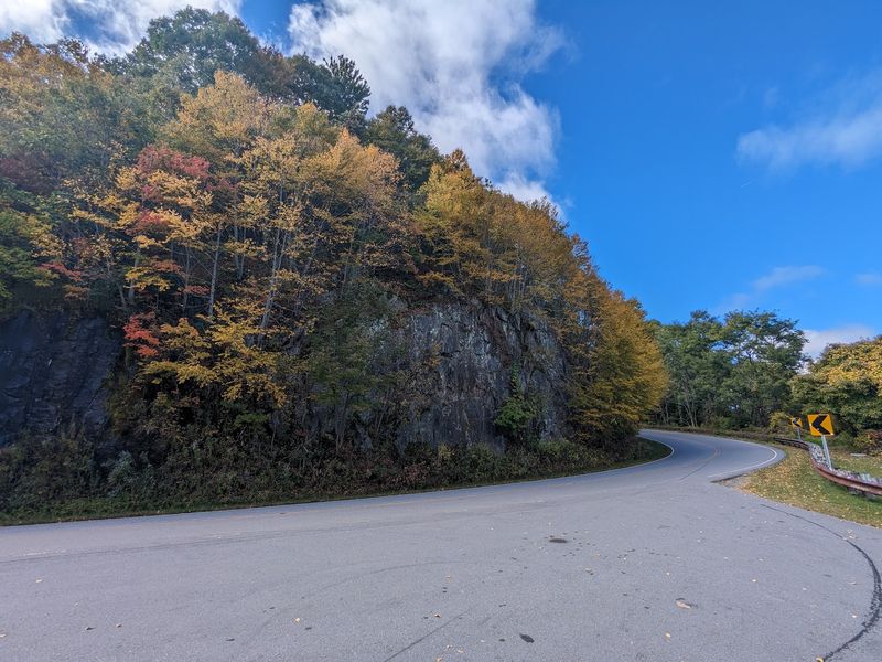
Long curves keep the scenery shifting without turning the drive into a constant sequence of sharp switchbacks. The route follows the Unicoi Mountains through the Cherokee National Forest in Tennessee and the Nantahala National Forest in North Carolina.
That geography creates repeated transitions between enclosed woods and open ridgeline views. One stretch may run beneath a dense canopy with almost no distant horizon.
A few minutes later, a pull-off can reveal layers of mountain country spreading outward for miles. Seasonal changes amplify the effect.
Summer brings deep green forests at multiple elevations. Autumn color progresses differently depending on height, so higher ridges can change before lower valleys.
Winter exposes more of the underlying mountain shape, while spring gradually fills the forest again. Clear conditions can reveal distant portions of the Southern Appalachians, though specific peaks are not always easy to identify from every overlook.
The road itself stays broad and paved, giving drivers enough room to enjoy the changing landscape without treating it like a narrow backcountry route.
Going slower is useful, not because every curve hides a dramatic surprise, but because the gradual transitions are much easier to notice when you are not trying to finish all 43 miles as quickly as possible.
Pack A Picnic And Turn One Overlook Into Your Lunch Spot
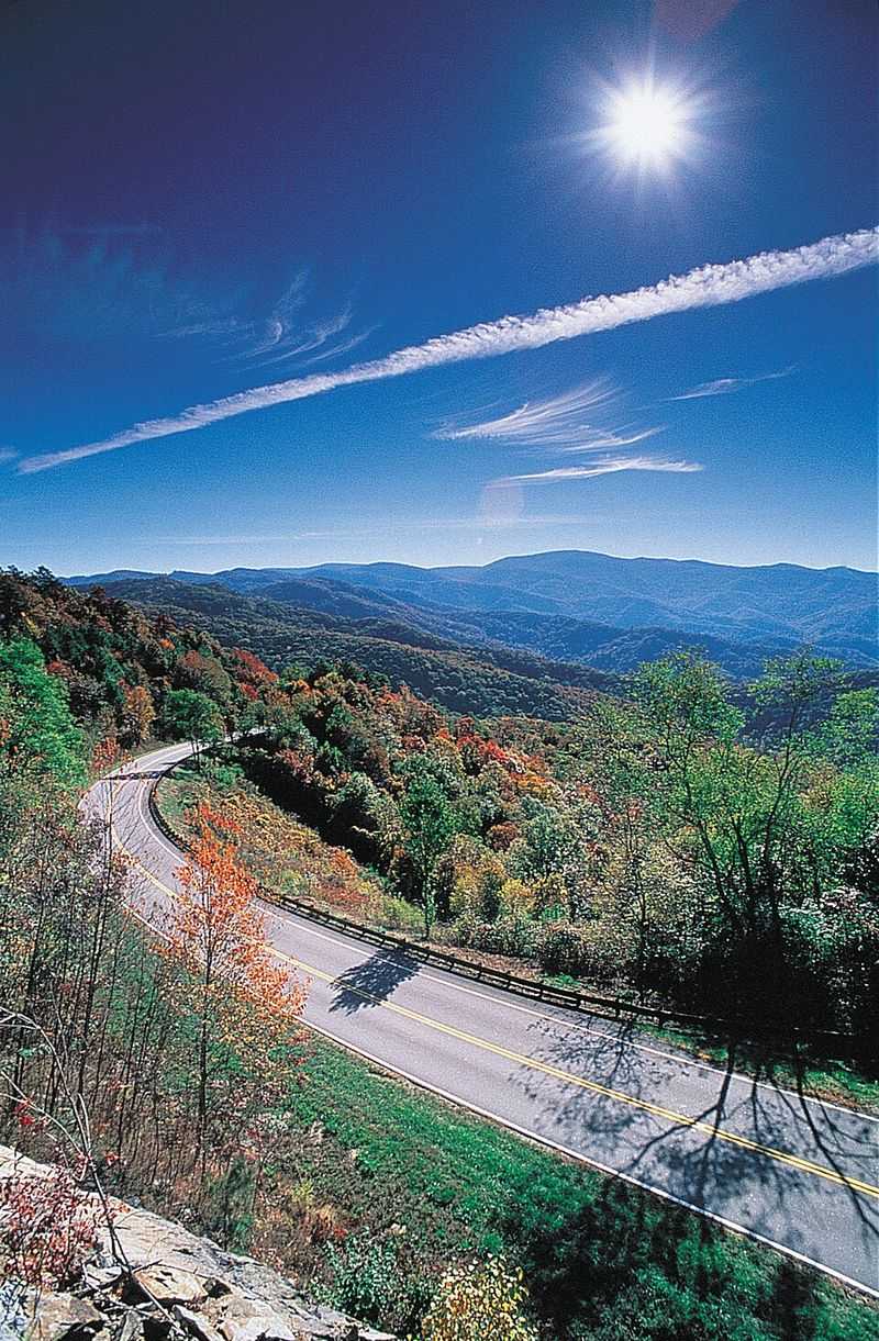
Lunch is easier when it is already in the car. Services are limited along the Cherohala Skyway itself, so packing food before leaving Robbinsville or Tellico Plains keeps the day flexible.
Huckleberry Knob is one particularly appealing option for travelers willing to add a short hike. Graham County tourism materials describe the area as a memorable picnic stop with broad 360-degree views.
Maple Springs Overlook provides another scenic place to pause on the North Carolina side, including views toward Lake Santeetlah from its viewing area. Nearby recreation areas can extend the outing further if a simple roadside stop feels too short.
Indian Boundary Recreation Area lies off the Tennessee side and offers developed facilities around a mountain lake, while the North Carolina side provides access toward Joyce Kilmer and other forest destinations. A cooler solves that problem nicely.
Bring something easy to eat, choose whichever stop looks best that day, and let the actual conditions decide where lunch happens rather than forcing yourself to reach one predetermined spot.
Take Your Time Because This Drive Rewards Going Slowly
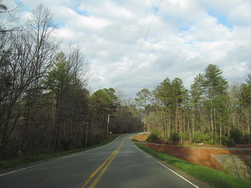
Forty-three miles does not sound like an all-day road trip until you start stopping. Scenic overlooks, trailheads, picnic breaks, and side trips can easily stretch the drive well beyond the time needed to simply travel from Robbinsville to Tellico Plains.
That is exactly why rushing makes little sense. Huckleberry Knob offers a relatively short walk with expansive views.
Hooper Bald provides another accessible hike along the Skyway. Joyce Kilmer Memorial Forest can turn the North Carolina end into a much longer outing if ancient trees sound better than another hour behind the wheel.
Practical planning matters too. Current travel guidance continues to warn that there are no major service stops along the core scenic stretch, and cell reception can be unreliable.
Fueling before the drive is therefore more important than calculating the fastest possible travel time. Weather deserves equal attention because high ridges can become foggy or much cooler than the valleys below.
The road itself is part of the attraction, but stopping is what makes the scenery begin to separate into individual memories. One overlook may be enough for somebody else.
You are allowed to decide that the next five deserve a look too.
Stop Near Santeetlah Gap For Some Of The Biggest Views
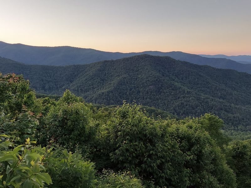
Near the upper end of the North Carolina climb, Santeetlah country gives you several reasons to slow down. Santeetlah Overlook reaches about 5,390 feet, making it one of the highest road-accessible viewpoints along this side of the Skyway.
The surrounding ridges belong to a broad section of the Nantahala National Forest, and clear conditions can open long views across heavily forested mountain country.
Santeetlah Gap is also useful as a geographical marker because Forest Service directions to Joyce Kilmer Memorial Forest specifically reference the junction with the Cherohala Skyway.
If you make the detour, though, Joyce Kilmer offers a very different experience from the exposed viewpoints above. Its trails move through old-growth forest known for exceptionally large trees, including mature tulip poplars.
That contrast makes the side trip especially appealing. One hour you can be looking across distant ridges from a high road.
Later, you can be walking beneath a dense canopy where the view is measured in tree trunks rather than miles. Give yourself extra time if you want both.
Finish The Route Feeling Like The Mountains Reset Your Entire Day
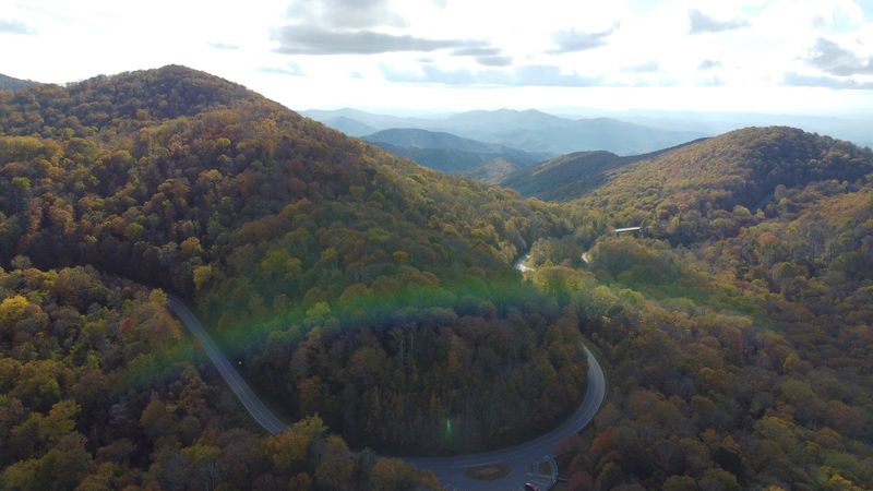
Reaching the other end does not guarantee spiritual enlightenment, and the mountains make no medical promises about stress. What the Cherohala Skyway does provide is 43 miles with very few urban distractions in between.
Forest, elevation, broad curves, overlooks, and long stretches without commercial development create a slower visual rhythm than an ordinary highway drive. That is enough to make the final miles feel noticeably different from the first.
Ending toward Robbinsville puts you back near fuel, food, lodging, and access to Lake Santeetlah and other Graham County destinations. Traveling the opposite direction brings you into Tellico Plains, where services return after the long national-forest stretch.
Either direction works because the road does not have one required “best” sequence. The scenery simply unfolds differently.
Current North Carolina tourism materials continue to highlight the Cherohala as one of the state’s standout mountain drives, and its 43-mile length makes it manageable without reducing the experience to a quick roadside viewpoint.
Bring enough fuel, watch the weather, stop when a view deserves it, and let the schedule stay loose.
The drive is at its best when arriving at the other end is not the only thing you are thinking about.