This Idaho City’s Traffic Is Getting So Bad Even Locals Are Losing Patience
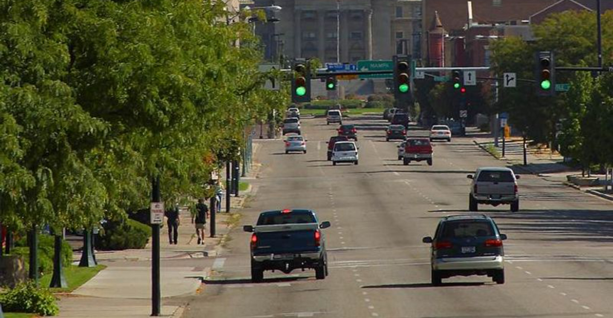
Nothing tests your affection for a growing city quite like watching the same traffic light cycle three times.
That frustration has become increasingly familiar in this part of Idaho.
A drive that once felt easy can now demand more patience than expected, especially when rush hour turns a short trip into a slow crawl. Longtime residents notice the difference because they remember when getting across town did not require strategic timing.
Growth brings plenty of positives. It also brings more cars.
And eventually, “just leave a few minutes early” stops feeling like useful advice.
The city is still easy to love, but the roads are clearly feeling the pressure.
Anyone who has spent enough time staring at brake lights already knows the mood. You are not furious. You are just very, very ready for traffic to move.
You Can Feel The Difference The Moment Rush Hour Begins
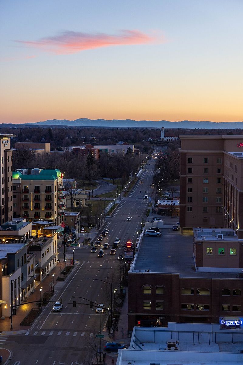
Leave at the wrong time and an ordinary Boise drive can take noticeably longer than the same trip a few hours earlier. TomTom’s 2025 traffic data puts the average morning rush-hour congestion level at 38 percent, with a 10-kilometer drive taking about 16 minutes and 54 seconds.
Evening conditions were substantially slower, reaching 57.8 percent congestion and roughly 19 minutes and 21 seconds for that same distance. Across the full year, the company estimates that Boise drivers lost 47 hours during rush-hour traffic, nearly four hours more than in 2024.
That ranking came from FleetLogging and measured how much farther a driver could travel in an hour outside peak periods, an unusual method that drew criticism from Idaho transportation observers.
Today’s data tells a simpler story: Boise traffic slows significantly during peak commuting windows, particularly in the evening, and congestion increased again in 2025.
The change may feel especially noticeable in a city where relatively short drives were once taken for granted.
Watch I-84 Turn Into One Of The Region’s Biggest Bottlenecks
All roads seem to lead toward I-84 when Treasure Valley commuters start moving between Caldwell, Nampa, Meridian, and Boise. The interstate remains the region’s essential east-west transportation spine, which also makes disruptions along it especially noticeable.
Construction is adding another layer in 2026 as crews work around the future State Highway 16 interchange between Garrity Boulevard and Ten Mile Road.
Idaho Transportation Department updates warn of continuing nighttime lane restrictions while that major connection takes shape.
The pressure is not confined to one interchange, either. I-84 carries commuters through some of Idaho’s fastest-growing communities, and construction projects in Canyon County are also expanding and modernizing portions of the freeway.
State Highway 16 is intended to give the central Treasure Valley a new north-south limited-access route connecting I-84 with State Highway 44, potentially changing how some traffic reaches the interstate.
Until that entire corridor opens, I-84 continues doing much of the heavy lifting for regional travel.
One stalled vehicle, construction closure, or unusually busy commute can therefore affect far more than a single exit, creating delays that spread quickly along the valley’s main highway.
See How Rapid Treasure Valley Growth Is Adding More Cars
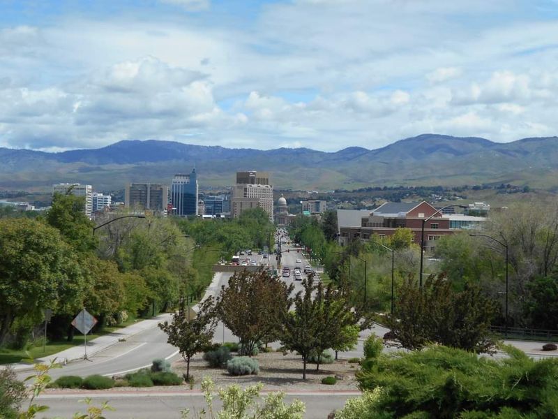
Population growth sits behind much of the transportation conversation. COMPASS estimated approximately 823,000 people living in Ada and Canyon counties in 2024 and now expects that combined population to reach about 1.3 million by 2055.
That means roughly another half-million residents could be added to the two-county region over the next three decades.
Earlier 2050 planning forecasts placed the population near 1.075 million, illustrating how quickly expectations have continued to climb.
New residents do not all travel to downtown Boise, but they create more trips between homes, workplaces, schools, shopping districts, recreation areas, and neighboring communities.
Much of the Treasure Valley also remains heavily dependent on private vehicles, making growth particularly visible on arterial roads and freeways.
Meridian, Kuna, Star, Eagle, Nampa, Caldwell, and western Boise are all connected through transportation corridors that were never designed with unlimited capacity. The challenge now is not merely adding lanes wherever congestion appears.
Regional planners are trying to accommodate a much larger future population while preserving reliable travel, expanding transportation choices, and deciding which expensive projects should receive limited funding first.
Give Yourself Extra Time Around Eagle Road And Chinden Boulevard
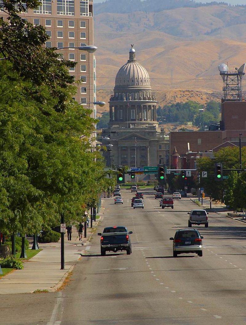
Eagle Road provides one of the clearest examples of growth changing how a familiar corridor operates.
The State Highway 55 route connects I-84 with commercial districts, neighborhoods, Chinden Boulevard, and communities farther north, creating heavy peak-period demand even though traffic can move much more freely at quieter times.
In August 2026, the Idaho Transportation Department installed a variable-speed system along the corridor.
Electronic signs between Franklin Road and Chinden Boulevard are scheduled to begin lowering the posted limit from 55 mph to 45 mph during weekday peak periods from 7 to 9 a.m. and 4 to 6 p.m. starting August 17.
Outside those windows, the limit returns to 55 mph. The pilot is intended to smooth speeds and improve safety when traffic volumes are highest rather than simply leaving one fixed limit in place all day.
That timing matters for drivers heading through the Eagle Road-Chinden area because the corridor’s problems are concentrated heavily around busy commuting periods.
Give yourself extra time, watch the electronic signs carefully, and remember that the speed displayed during one trip may legitimately be different when you return later.
Notice How Commutes Are Stretching Far Beyond Downtown Boise
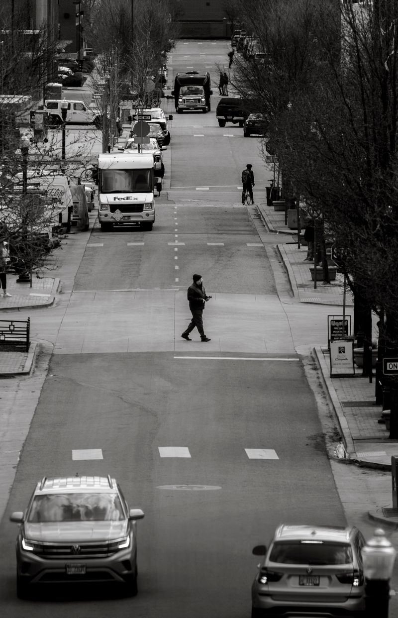
The traffic story does not stop at Boise’s city limits. Regional planners increasingly treat Caldwell, Nampa, Meridian, and Boise as parts of one interconnected commuting system, and future forecasts show why.
COMPASS planning work projects that travel times between Caldwell and downtown Boise could increase by about 50 percent by 2050 as population and transportation demand continue growing.
That western Treasure Valley commute already crosses several rapidly developing communities before reaching the capital, leaving drivers exposed to congestion on I-84 and connecting arterial roads along the way.
Similar patterns affect trips that begin in Star, Eagle, Kuna, or the expanding edges of Meridian.
A new subdivision may sit miles from downtown Boise, but its residents still share portions of the same regional road network when traveling to major job centers, schools, medical facilities, or shopping districts.
That is why Boise’s traffic cannot really be understood by looking only at streets inside Boise. The larger issue is a metropolitan area spreading across two counties while daily destinations remain closely connected.
For many commuters, the frustrating part is no longer crossing downtown. It is simply getting across the Treasure Valley reliably at the busiest times of day.
Look At Why Road Expansion Is Struggling To Keep Up
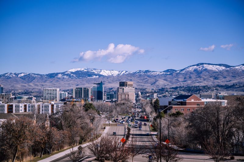
More pavement is coming, but growth keeps moving too.
Transportation planning in Ada and Canyon counties involves a long list of road widenings, intersections, freeway projects, safety improvements, transit proposals, bicycle connections, and pedestrian upgrades competing for money and construction schedules.
COMPASS’s Communities in Motion plan identifies projects with secured funding while separately tracking prioritized needs that remain unfunded.
Boise’s own Transportation Action Plan takes an equally broad approach, emphasizing mobility choices rather than relying solely on roadway expansion.
That includes making walking, bicycling, and public transportation more practical alongside conventional street improvements.
Regional planners are also studying higher-capacity transit connections through the Treasure Valley as the population pushes toward the million-resident mark and beyond.
None of those projects can instantly erase congestion. Major roads take years to plan, fund, acquire right-of-way for, and build, while new homes and businesses continue opening throughout the process.
The result is a familiar race between infrastructure and demand. Widening one corridor can relieve a specific pressure point, but a growing metropolitan area still needs a network that gives people more than one realistic way to reach work, school, shopping, and everyday destinations.
Compare Today’s Traffic With The Boise Locals Remember
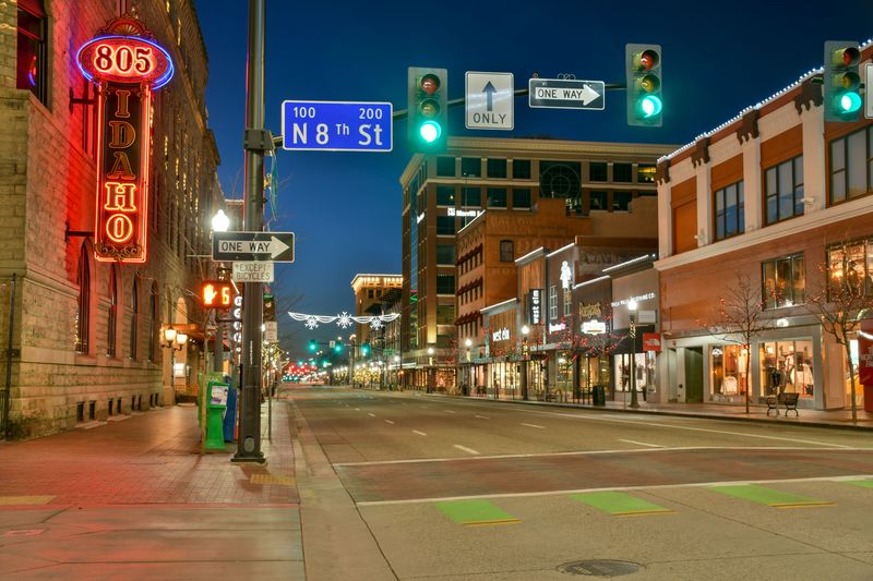
Ask around long enough and traffic frustration quickly becomes part of the growth conversation. Concerns are hardly new; Boise-area officials were discussing transportation pressure decades ago, and local reporting has repeatedly documented residents connecting heavier traffic with rapid development.
In Meridian, for example, city officials have described traffic as one of the most common frustrations raised by residents as growth pushes farther west and south. The measurable change is visible in current congestion data as well.
Boise’s average 2025 traffic congestion rose to 34.7 percent, while evening rush hour reached 57.8 percent and rush-hour delays cost the average driver an estimated 47 hours during the year.
Those figures do not mean Boise suddenly rivals America’s largest metropolitan areas for absolute traffic misery.
They do show why someone who remembers a smaller Treasure Valley may experience today’s roads very differently. More residents are traveling among a wider spread of communities, and the region increasingly behaves like a substantial metropolitan area rather than an isolated small city.
Nostalgia may exaggerate how empty the streets once were, but the growth behind today’s transportation pressure is very real.
See What Transportation Projects Could Change The Drive Ahead
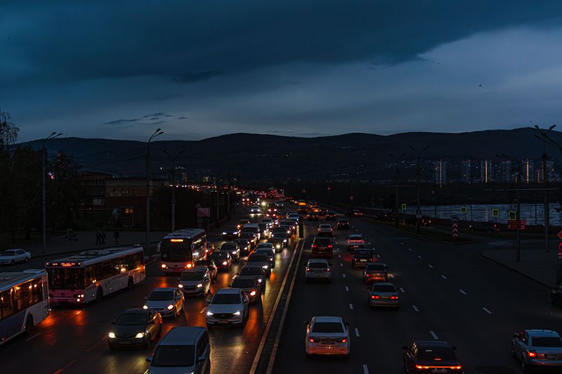
Some of the biggest changes are already under construction. State Highway 16 is the headline project, extending a limited-access north-south highway between State Highway 44 and I-84 with interchanges at I-84, Franklin Road, Ustick Road, U.S. 20/26, and SH-44.
The Idaho Transportation Department says the entire corridor remains on track to open in 2027, creating the Treasure Valley’s first new freeway in more than four decades.
Eagle Road’s new variable-speed system is taking a different approach by managing existing capacity during peak periods rather than adding a completely new route.
Boise continues to expand its broader mobility strategy through the Transportation Action Plan and Vision Zero initiatives. The work focuses on safer streets and more practical options for walking, biking, public transit, and driving.
COMPASS is simultaneously planning for a regional population expected to reach 1.3 million by 2055, meaning today’s construction is only one stage of a much longer transportation effort.
No single change will eliminate every rush-hour delay, but together these projects show a serious effort to improve regional mobility. Continued investment will become increasingly important as the Boise area keeps growing.