12 North Carolina Trails Where Staying Bear-Aware Is Seriously Important
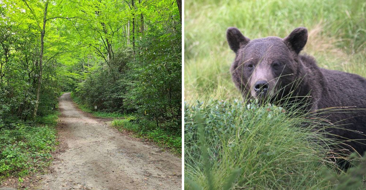
Breaking news from the forest: the bears have not agreed to share their snacks.
North Carolina hikers sometimes cross paths with black bears, especially in mountain country where the trails cut through their backyard. Most would rather avoid humans altogether, but apparently nobody told them granola bars come with ownership laws.
That is where a little bear etiquette saves the day.
Food stays packed away, wildlife gets plenty of room, and hikers make enough noise to avoid an awkward “well, hello there” around the next bend.
Think less panic, more paws and order.
These trails lead through some spectacular country, and seeing a bear from a safe distance can be unforgettable.
Just remember the hierarchy. You brought the hiking boots. The bear brought home-field advantage.
12. Deep Creek Trail, Bryson City, North Carolina
Three waterfalls in under five miles is a hard offer to turn down. The Deep Creek Loop just outside Bryson City runs about 2.4 miles round trip, moderately difficult, and starts on a wide path that hugs the creek upstream.
Toms Branch Falls drops roughly 80 feet almost right away, its spray cooling the air. Less than a mile in, Indian Creek Falls appears, and a spur near the end of the loop climbs to the 90-foot ribbon of Juney Whank Falls.
Families love the swimming and tubing spots, and the woodland here bursts with spring wildflowers. Parts of the route carry historic significance within the park, built to show off the scenery.
Because this is active black bear habitat, keep sandwiches sealed and packed away, never leave a cooler unattended at a picnic spot, and carry every wrapper back out. If a bear appears, back up slowly and give it plenty of room.
Quiet respect keeps both hikers and bears safe on this busy, beautiful creek.
11. Noland Creek Trail, Near Bryson City, North Carolina
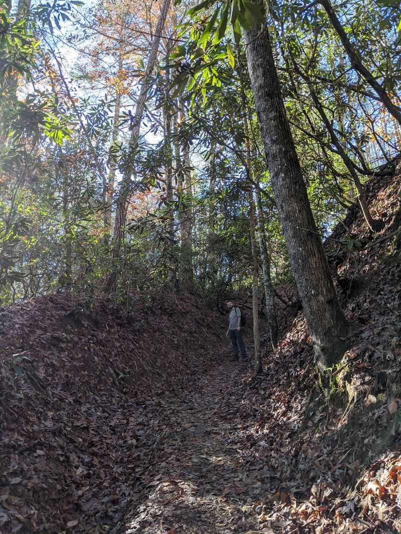
Daffodils blooming in the middle of the forest usually mean someone once lived there. Along Noland Creek, those cheerful yellow clusters mark old home sites and farm fields from long before the park existed.
The trailhead sits at a parking area on Lakeview Drive, and the route follows an old service road beside lively Noland Creek. Hikers can turn a short two-mile round trip toward Fontana Lake or push north for a fuller 8.4-mile out-and-back.
Hardwood forest shades most of the walk. Small rocky drops in the creek create a steady rush of sound that follows you the whole way, and the grade stays easy to moderate.
Bears roam this corner of the Smokies regularly. Backcountry campers must use bear-resistant containers or hang food properly, and every camp should stay spotless, with cooking done away from tents.
Day hikers should keep snacks zipped inside a pack rather than swinging from a shoulder strap. A clean site protects the bears far more than it protects you.
10. Forney Ridge Trail To Andrews Bald, Near Cherokee, North Carolina
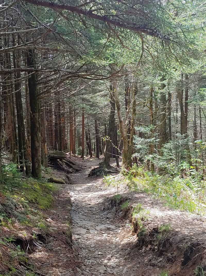
At 5,920 feet, Andrews Bald claims the title of highest bald in the park, and the walk there earns every inch of the view. The route runs roughly 3.5 to 3.6 miles round trip and rates as moderately difficult.
Look for the trailhead to the left of the paved path heading up to the Kuwohi observation tower, formerly known as Clingmans Dome. The first stretch of Forney Ridge Trail drops downhill over stone steps and rocky footing.
Crews have improved the tread with flat stones, locust wood staircases, and raised boardwalks, which helps enormously on damp mornings. Then the spruce and fir open into a wide grassy meadow with highland views rolling in every direction.
Bears frequent this whole high-country zone. Stay watchful where the forest closes in, talk or clap at blind corners, and never approach or feed wildlife.
Carrying bear spray is a smart precaution, and knowing how to use it matters just as much as having it clipped to your belt.
9. Bradley Fork Trail, Cherokee, North Carolina
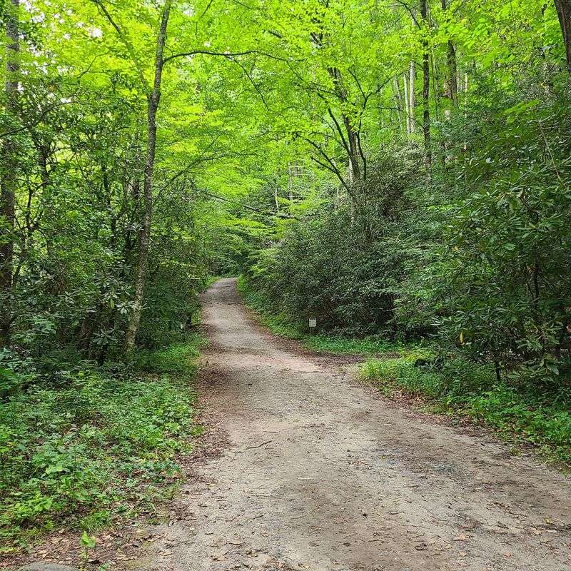
Few trails make it this easy to walk beside rushing water for miles. Starting right at Smokemont Campground, Bradley Fork Trail follows an old roadbed alongside the Bradley Fork of the Oconaluftee River for roughly 3.9 to 5 miles one way.
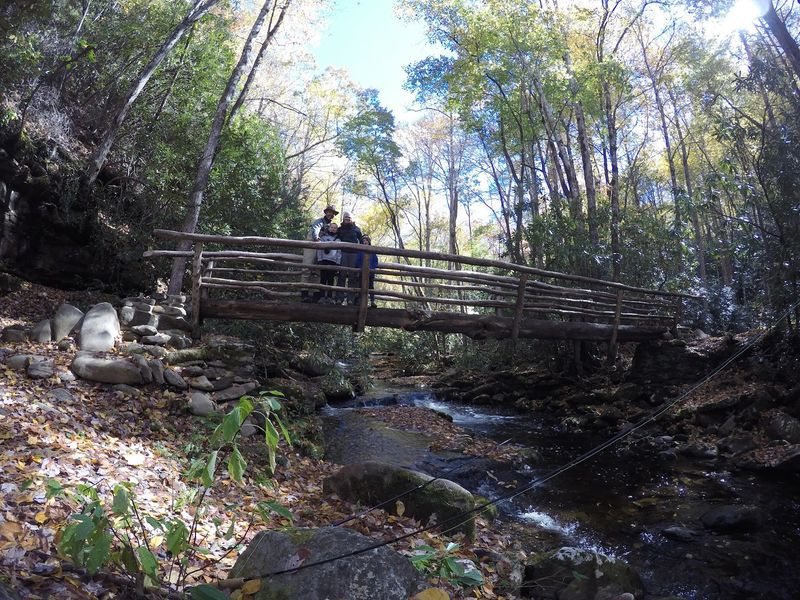
Gravel covers the first stretch, so the footing feels friendly for younger hikers and anyone easing back into distance walking. Wooden bridges cross side streams, including Chasteen Creek, and small waterfalls appear along the way.
Spring turns the gentle grade into a wildflower parade. Anglers, horseback riders, and hikers share the route, which keeps the atmosphere social rather than lonely.
Smokemont has a long history of bear activity because campgrounds and coolers make tempting targets. Store food in vehicles or bear boxes, wipe down picnic tables, and pack out apple cores instead of tossing them into the brush.
Practicing Leave No Trace here directly reduces the chance a bear learns to associate people with meals, which is the outcome nobody wants.
8. Baxter Creek Trail To Mount Sterling, Near Waterville, North Carolina
Roughly 4,000 feet of climbing over 11.7 to 12.2 miles round trip makes this one of the toughest days in the park. The reward waiting at 5,842 feet is a 60-foot fire tower built in 1935, with sweeping views toward Mount LeConte and Cataloochee Valley when skies stay clear.
From near Big Creek Campground the path crosses Big Creek, then climbs hard through old-growth forest. Massive tulip trees give way to balsam, fir, and spruce, with thick moss draping rocks near the top.
Early on, a stone chimney stands alone in the woods, all that remains of an old mountain lodge.
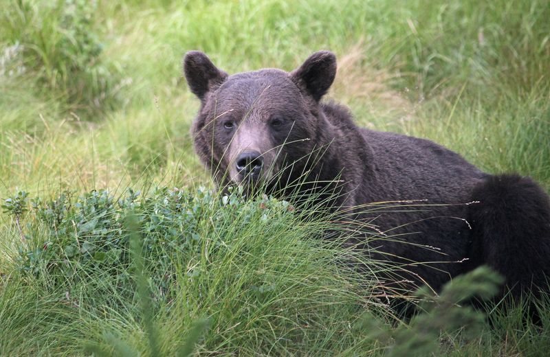
Remoteness raises the odds of meeting a bear here. Backcountry campers need permits and must use bear-resistant food storage, and everyone should make steady noise on the ascent so nothing gets surprised.
Carry bear spray, hike with a partner when possible, and start early. Long, quiet trails demand more preparation, not less.
7. Looking Glass Rock Trail, Near Brevard, North Carolina
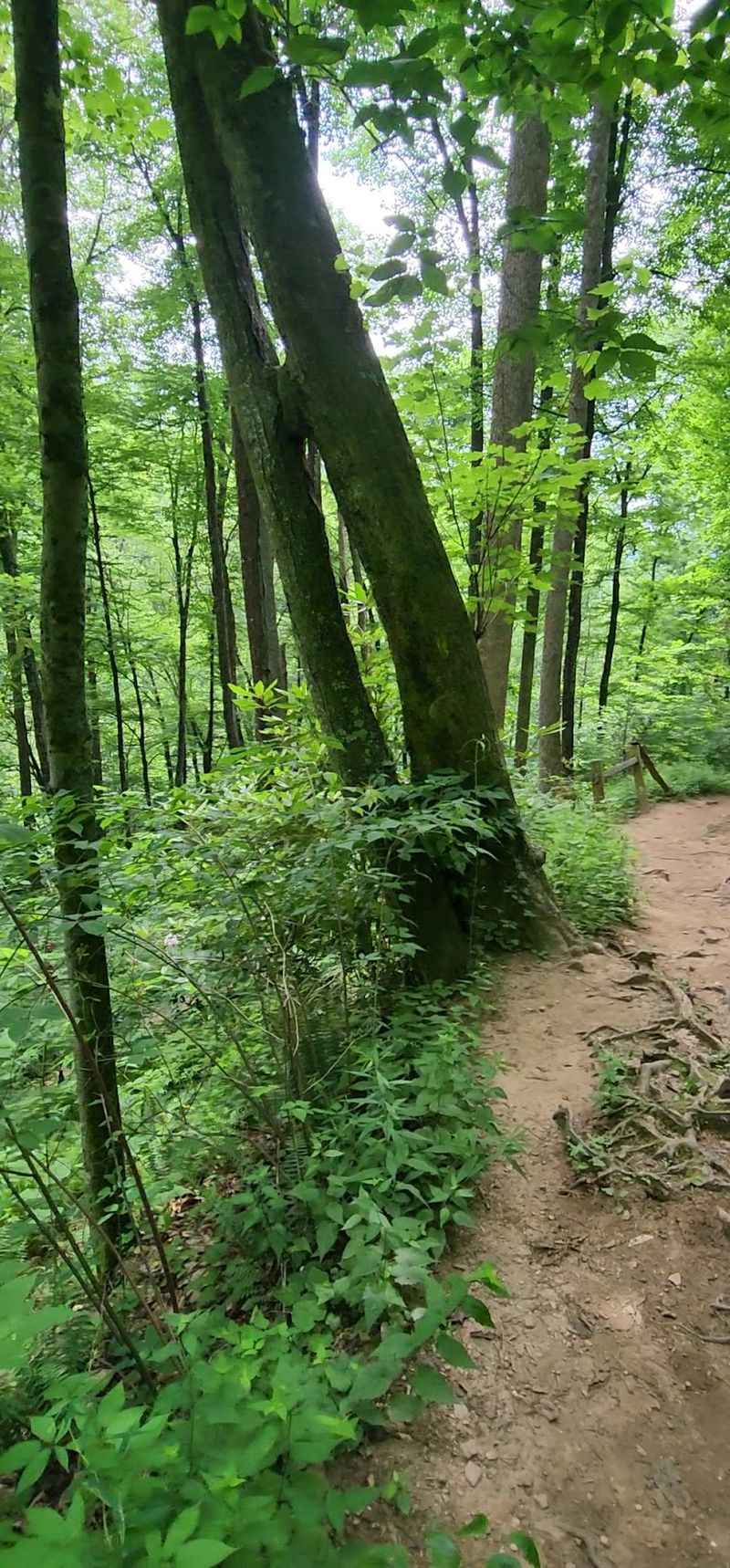
Climbers know the sheer face; hikers know the switchbacks. The route to the top of Looking Glass Rock covers about 6.4 miles round trip and gains roughly 1,700 feet, making it a solid workout with a spectacular payoff.
Access comes off the Forest Heritage Scenic Byway in the Brevard area. Early on, the path traces a stream lined with small cascades before curling into tunnels of rhododendron and mountain laurel.
Near the summit, a flat expanse of rock sometimes used as a helicopter landing spot for rescues doubles as the best resting place around. From the 3,970-foot granite dome, the Blue Ridge Parkway and Transylvania County peaks stretch out in layers.
Pisgah National Forest holds a healthy bear population, and summit picnics are exactly the kind of thing that draws attention.
Keep food inside your pack until you eat, gather every crumb afterward, and stash scented items like sunscreen and lip balm securely.
Overnight visitors should hang food well away from sleeping areas.
6. Art Loeb Trail At Black Balsam Knob, Near Canton, North Carolina
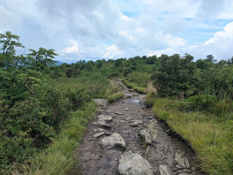
Barely a mile of walking buys you a 360-degree view, which might be the best trade in the mountains. The stretch of Art Loeb Trail running up Black Balsam Knob measures 1 to 2 miles round trip and stays easy to moderate.
Find it just off the Blue Ridge Parkway at milepost 420.2. A fragrant balsam fir grove gives way almost immediately to open, windswept grassland.
At 6,214 feet the summit looks out over Shining Rock Wilderness, Cold Mountain, and on crisp days the distant Smokies. Wildflowers color the slopes in summer, wild blueberries ripen in late season, and photographers and stargazers linger well past sunset.
Nearby Graveyard Fields, along the same Parkway corridor, adds two more waterfalls to a full day out.
Bears wander these high meadows, drawn partly by those berry patches. Dispersed camping is allowed with Leave No Trace habits, including food storage at least 1,000 feet from roads.
Campfires are prohibited inside Shining Rock Wilderness.
5. Pink Beds Loop Trail, Near Brevard, North Carolina

Mountain bogs are rare, and walking through one on a level path is rarer still. The Pink Beds Loop runs 3.3 to 5.3 miles depending on your chosen route, staying mostly flat across a wetland basin inside Pisgah National Forest.
Locals connect the area with the Cradle of Forestry, and the landscape shows why it was worth protecting: grassy marsh, fern-carpeted hardwoods, and creeks running clear over sand.
The name comes from the flush of pink blooms, mountain laurel and rhododendron mostly, that peaks in mid to late June.
Boardwalks and bridges carry you over soggy ground, including a crossing of the South Mills River, while birdsong and moving water fill the quiet.
Beaver dams show up along the way for anyone paying attention.
Bears use this thick cover and water access too. Watch the edges where brush grows dense, pack out every scrap including fruit peels, and keep children close on the boardwalk sections rather than letting them race ahead.
4. Daniel Ridge Loop Trail, Near Brevard, North Carolina
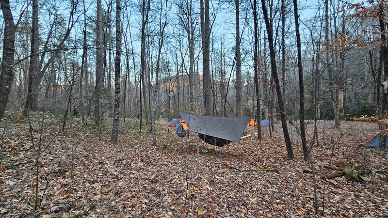
A 150-foot sheet of water sliding down bare rock greets hikers on this loop, and it answers to three names: Daniel Ridge Falls, Tom Spring Falls, and Jackson Falls. The circuit covers 4 to 5 moderate miles near Brevard.
Things begin with a sturdy bridge over the Davidson River, then the trail follows the water upstream. Gravel road sections alternate with rougher stretches knotted with roots and stone, which is why mountain bikers share the route with walkers.
The climb lasts about a mile before the loop swings back. Winter strips the leaves and opens up views of the falls, while spring and summer bring dogwood, silverbell, and rhododendron into bloom.
Primitive campsites dot the corridor.
Bear awareness matters even on a half-day outing here in western North Carolina. Keep lunch sealed in your pack rather than set on a rock, scan ahead when rounding blind bends, and store everything scented if you camp.
Quiet trails reward attentive hikers.
3. Schoolhouse Falls Via Panthertown Valley, Near Cashiers, North Carolina
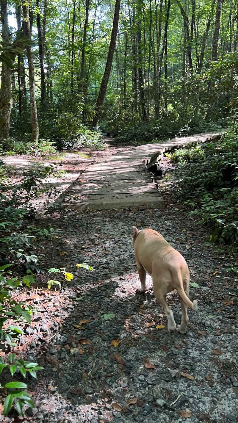
People call Panthertown Valley the Yosemite of the East, and standing beneath its granite domes, the nickname makes sense. Schoolhouse Falls drops 18 feet over a curved ledge into a calm pool where you can wade and even walk behind the curtain of water.
From the Cold Mountain Gap trailhead the hike runs 1.3 to 2.6 miles round trip at a moderate effort, descending through hardwoods, rhododendron, mountain laurel, ferns, and scattered wildflowers.
The valley itself protects 6,311 acres in Nantahala National Forest, threaded with more than 30 miles of rugged trail, sweeping overlooks, and a long list of waterfalls.
Here is the part worth remembering: Panthertown is a designated black bear sanctuary, so bear etiquette is not optional.
Bring a map and compass because many paths go unmarked, expect primitive backcountry conditions, and store food properly if staying overnight.
Strict Leave No Trace practice keeps this remarkable pocket of the mountains wild for the bears that live there year round.
2. Rainbow Falls Trail, Near Sapphire, North Carolina

Sunlight plus spray equals rainbows, and that is exactly how this 125-foot cascade on the Horsepasture River earned its name. Hikers cover roughly 3 to 5.4 miles round trip at a moderately difficult pace to reach it.
The trail starts in Gorges State Park near Sapphire and crosses into Nantahala National Forest. Wide gravel gives way to natural earth, and the closer you get to the main drop, the more stairs and steep pitches appear.
Mist rises off the plunge pool in a constant cloud, cooling the whole gorge. Turtleback Falls sits a short distance farther upstream for anyone wanting to extend the day.
Both the state park and the national forest support black bears. Stick to designated paths so you do not stumble into thick cover unannounced, leave no food scraps behind at overlooks, and stay alert while walking.
Slick rock near the falls deserves equal caution. Respecting posted safety signs here protects you from the two biggest hazards, moving water and surprised wildlife.
1. Boone Fork Trail, Near Blowing Rock, North Carolina
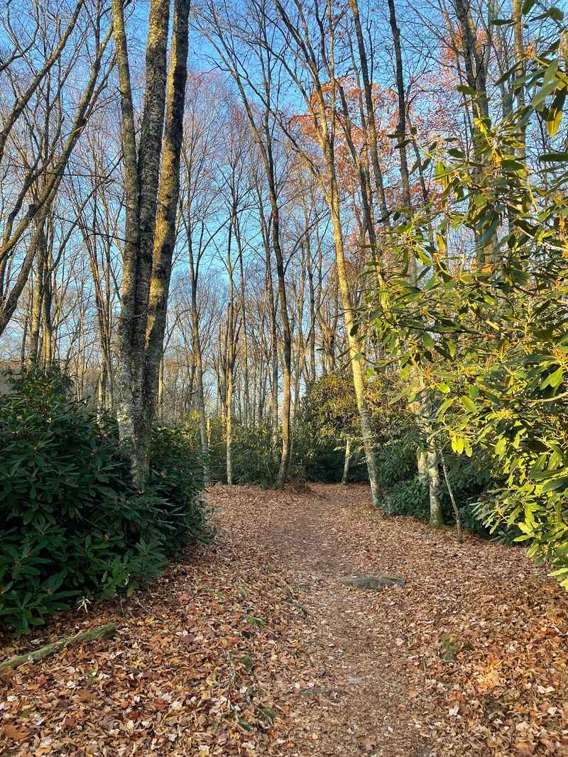
A wooden ladder in the middle of a hiking loop tends to surprise people, and Boone Fork Trail has one. The 5 to 5.5-mile circuit inside Julian Price Memorial Park, adjoining the Blue Ridge Parkway, keeps changing scenery so often that boredom never sets in.
Meadows thick with wildflowers open between shady forest stretches. The path traces Bee Tree Creek and Boone Fork Creek, crossing footbridges and scrambling over rocky pitches.
Hebron Falls headlines a series of smaller cascades worth pausing beside. Parking, picnic tables, and restrooms sit at the Price Park Picnic Area trailhead, which makes this an easy family outing in the High Country.
Bears live throughout this section of the Parkway corridor.
Make conversation as you walk so nothing gets startled, secure picnic supplies rather than leaving a basket on a table, and dispose of trash in wildlife-resistant bins.
Deer and even bobcats turn up here too, so keep your eyes moving and your camera ready.