Drive Fifteen Minutes From This Kentucky Town And The Temperature Drops Fourteen Degrees
Kentucky summers do not negotiate. The air outside feels like something you should be able to wring out with your hands.
Most people respond by hiding indoors and befriending their air conditioner. There is a better answer, and it involves your car keys.
Somewhere in the far southeastern corner of the state sits a small town with an unusual escape hatch. The road out of it goes up.
Not gently up. Seriously up, toward the highest point in Kentucky, with hairpin turns that keep you honest the whole way.
Here is the fun part. The air gets cooler with every foot you climb.
Leave town sweating in the high eighties and arrive somewhere in the low seventies. Same afternoon, same shirt, entirely different weather.
Pack a jacket and feel ridiculous doing it. You will stop feeling ridiculous about halfway up.
Black Mountain Sits Above Everything Else In Kentucky
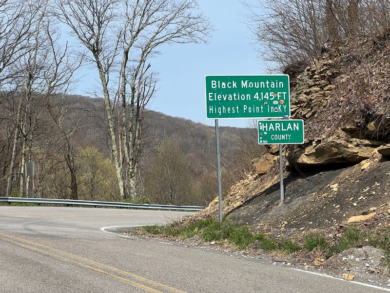
Black Mountain is the highest point in Kentucky, rising to 4,145 feet. That single number explains almost everything about the temperature surprise waiting at the top.
Air cools as it climbs. Meteorologists often cite a drop of roughly three to five degrees for every thousand feet of elevation gain.
Do the quick math from the valley floor near Lynch. You gain a few thousand feet in a very short drive, and the thermometer notices.
The summit sits in Harlan County, right along the Virginia border. Stand in the right spot and two states share your view.
What surprised me most was how fast the change happens. One minute the car windows are down for heat relief, the next they are down for pleasure.
The mountain is not a manicured park with gift shops and gates. It is working land, radio towers, and forest that has seen coal history up close.
That rough edge is part of the appeal. Nothing here feels staged for visitors.
Bring a light jacket.
Kentucky has plenty of pretty hills. Only one of them lets you stand higher than every other person in the state.
Lynch Is The Starting Line For The Climb
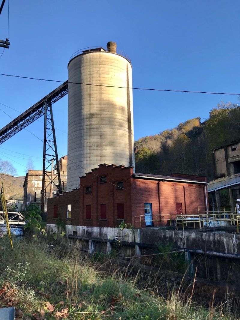
Lynch anchors the bottom of the mountain, and it is a town with real weight to its story. Built in 1917 by U.S.
Coal and Coke, it was once among the largest coal camps in the country.
Thousands of people lived here in its busiest years. Today the population is small, and the quiet is genuine.
Stone buildings still line parts of town. The old bathhouse, the depot, and the school buildings tell you this place was constructed to last.
From Lynch, the road to the summit is short in miles but steep in feel. Fifteen minutes of steady climbing does the work.
I stopped for gas before heading up, which turned out to be smart. Services thin out fast once you leave the valley.
Residents here are used to visitors asking about the mountain. The directions I got were friendly and clear.
Portal 31, the exhibition coal mine, sits nearby and offers guided tours underground. It gives the drive context you cannot get from a viewpoint alone.
Seeing the town first makes the summit hit harder. You understand what people built at the base of that ridge.
Start low, climb high, then look back down. The order matters.
The Fourteen Degree Drop Is Real Science, Not Folklore
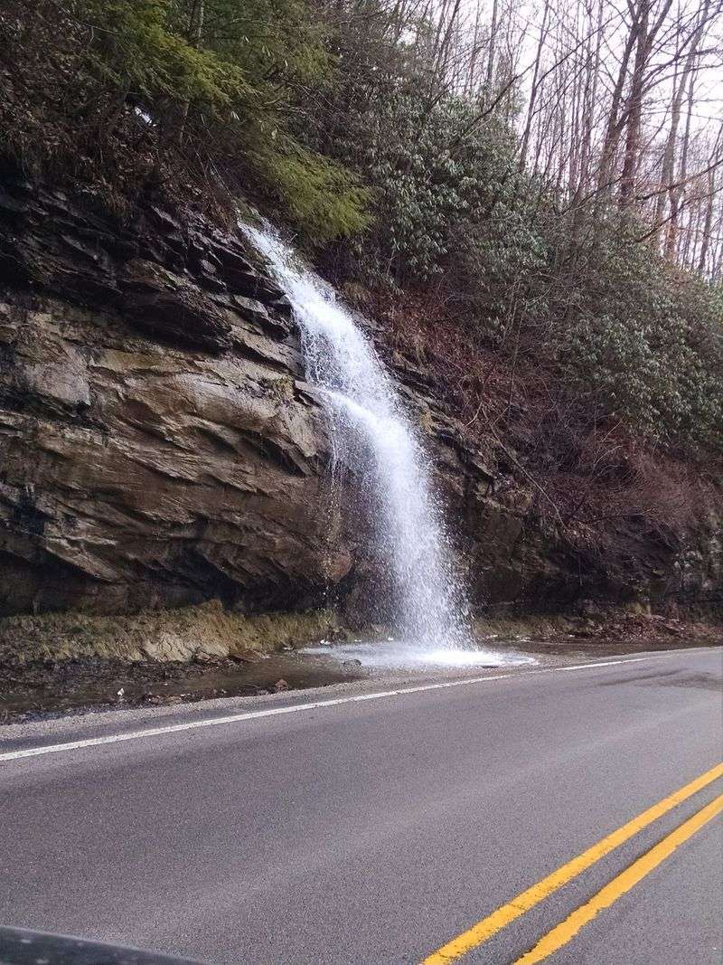
Cooler air at elevation is not a local legend. It is basic atmospheric behavior that anyone with a dashboard thermometer can watch happen.
Air pressure falls as you go up. Rising air expands and cools, and the effect stacks with every switchback.
On a hot Kentucky afternoon, the valley might read the low nineties. The summit can sit in the upper seventies at the same moment.
That gap felt dramatic to me because it arrived so quickly. Fifteen minutes is not enough time for your body to adjust.
Humidity plays a role too. Higher ground often feels drier and lighter, which makes the cool air seem even cooler.
Wind adds another layer. Ridge tops catch breezes that never reach the hollows below.
Winter flips the same rule into something serious. Snow lingers up top long after the valley has gone green and muddy.
Drivers should watch for ice on shaded curves during colder months. What melts in town may still be frozen at 4,000 feet.
I keep a thermometer app open now during mountain drives. Watching numbers slide down is oddly satisfying.
Free air conditioning, courtesy of geography. Hard to beat that deal.
Rare Plants Thrive In That Cooler Mountain Air
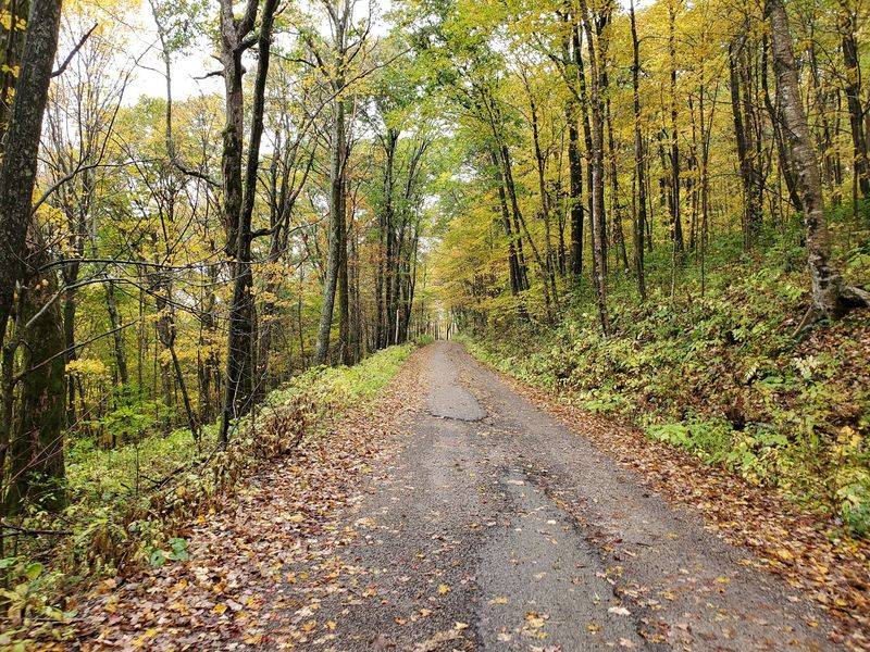
Cool temperatures do more than comfort visitors. They create a habitat that belongs farther north than eastern Kentucky.
Botanists have long treated Black Mountain as a biological treasure. The summit area supports plant communities more typical of New England forests.
Red spruce, mountain ash, and northern hardwoods appear here. They survive because the climate at this height mimics colder latitudes.
Several rare species have been documented on the slopes. The mountain has been the focus of conservation efforts for decades.
The Nature Conservancy and state partners worked to protect land near the summit. That effort helped preserve the upper forest.
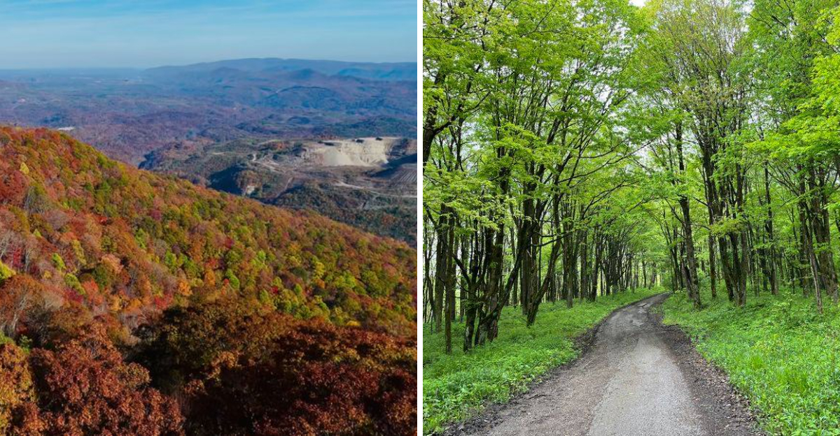
Walking a short stretch of the ridge, the difference in greenery is easy to notice. Mosses look thicker and the ferns grow dense.
Spring wildflowers put on a show along the higher curves. Trillium and other woodland blooms appear later here than in the valley.
Please leave plants where they stand. Rare does not survive souvenir picking.
Bird activity is strong in early morning. I heard warblers I could not name, which felt like a fair trade for an early alarm.
Nature quietly rewards anyone willing to gain a little altitude.
The Overlook Deck Gives You Three States On A Clear Day
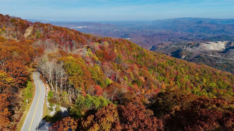
Near the summit there is an overlook built for exactly one purpose. Looking out and forgetting the time.
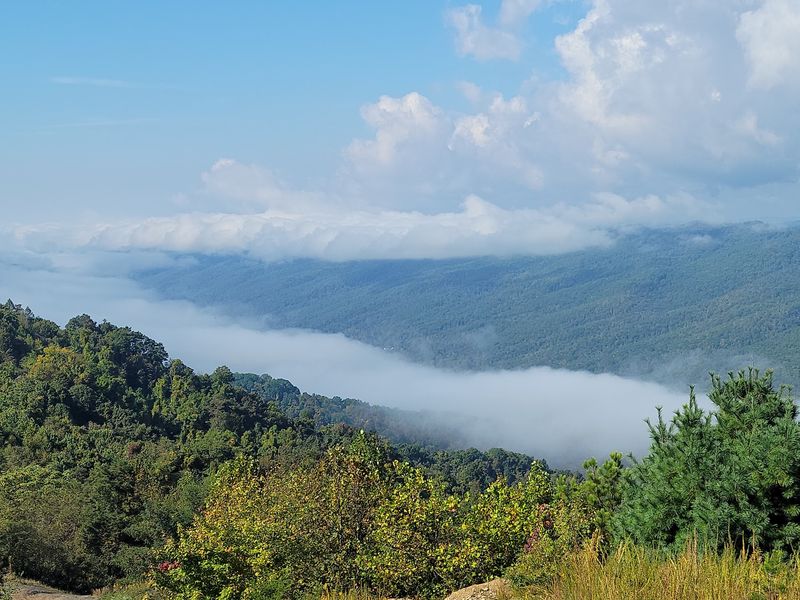
The ridges stack in fading blue layers toward Virginia. On clear days the view stretches remarkably far.
Morning light softens everything. Late afternoon sharpens the shadows between ridges and makes the folds of land pop.
Fog is common in the valleys below. Standing above a cloud layer is a strange and lovely experience.
I visited on a hazy August day and still counted several ridge lines. Cooler months bring the clearest air.
Bring binoculars if you have them. Distant details reward patience.
The deck is not large or crowded. Most times I have stopped, only a car or two shared the space.
Fall color here peaks earlier than in the lowlands. Elevation speeds the calendar along.
Photographers should plan for wind. A lightweight tripod may not hold steady on the ridge.
Cell service can be spotty, so download maps ahead of time. Getting lost is less charming than it sounds.
Sit for ten minutes without a phone in hand. The quiet up there does something good for your head.
Portal 31 Takes You Underground Before You Head Up
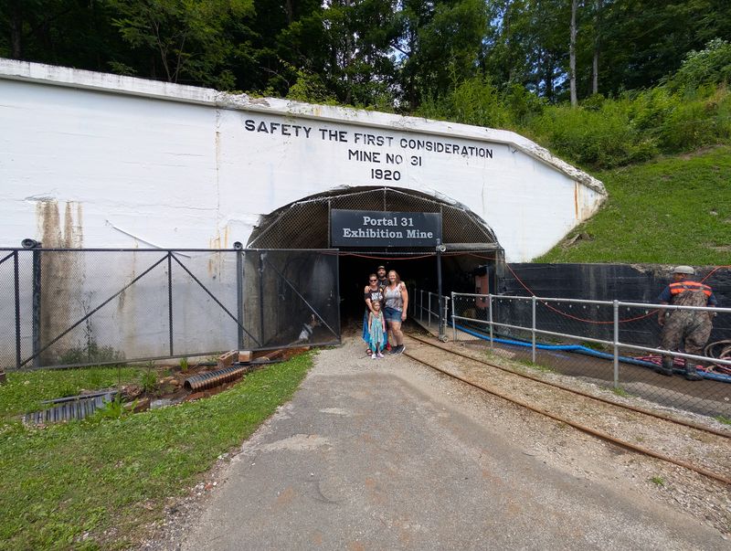
Before climbing, go down. Portal 31 in Lynch is Kentucky’s first exhibition coal mine, opened to visitors in 2009.
Guests ride a rail car into the mountain. Guides and audio displays explain how miners worked this seam for generations.
The temperature inside stays cool year round. Underground air holds steady no matter what the calendar says.
That makes for an interesting pairing with the summit drive. Two cool places, two entirely different reasons.
The original portal opened in 1917, the same year the town was built. Coal from here traveled across the country.
Tour hours are seasonal, so check ahead before making the trip. Schedules can shift.
Kids tend to love the rail car ride. Adults tend to love the storytelling.
Bring a light layer, since the mine stays chilly. I saw more than one visitor rubbing their arms.
The exhibit treats the community with respect. It centers the people who did the work.
Pairing the mine with the mountain gives the day a shape. History first, then perspective from the top.
Allow about an hour for the tour. You will leave with better questions than you arrived with.
Timing Your Visit Changes Everything About The Drive
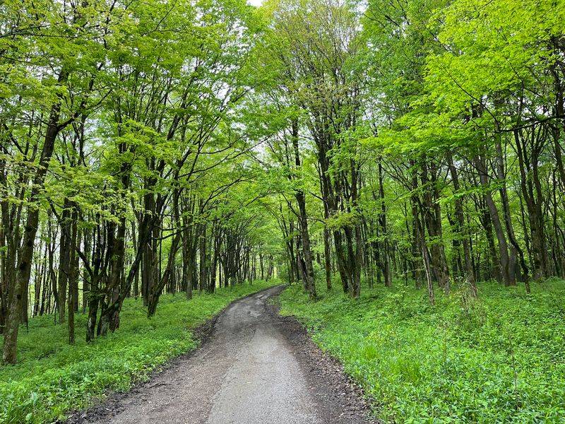
Season matters more here than at most viewpoints. The same road offers four very different experiences.
Summer delivers the biggest temperature payoff. That is when the contrast between valley heat and ridge breeze feels almost unfair.
Autumn brings color that starts high and works downward. Early October is often strong at elevation.
Spring runs late up top. Buds that opened weeks ago in Lynch may just be starting on the summit.
Winter demands caution. Ice and snow hold on longer at 4,000 feet, and conditions can change quickly.
Check the forecast for the mountain, not just the town. They are genuinely different climates.
Weekday mornings are quietest. I have had the overlook to myself on a Tuesday.
Fill the gas tank in Cumberland or Lynch. Options shrink as you climb.
Pack water, snacks, and a jacket regardless of season. Mountain weather does not consult your plans.
Sunset is beautiful but the descent afterward is dark and curvy. Give yourself daylight for the trip down.
A little planning turns a quick detour into the best hour of the day.
Harlan County Around The Mountain Is Worth Extra Hours
The mountain is the headline, but the county deserves reading past it. Harlan County packs a lot into a compact stretch of Appalachia.
Cumberland sits a few miles from Lynch and offers food, fuel, and lodging. It makes a practical base.
Kingdom Come State Park sits nearby and holds its own high ground. Log Rock and Raven Rock are memorable stops.
Benham, another former coal town, houses the Kentucky Coal Museum. The building itself was once a company store.
Little Shepherd Trail runs along the ridge for miles. Drivers should expect narrow, slow going and plan accordingly.
Local music runs deep in these hills. The county has produced well known performers and still hosts live events.
People here are direct and helpful. Ask a question and you will usually get a real answer.
Roads twist constantly, so add time to every estimate your map gives. Fifteen mountain miles are not highway miles.
I came for the temperature drop and stayed for everything around it. That happens often here.
Give the area a full day if you can. The mountain will still be the part you tell people about.