This 9.5-Mile Southern California Bike Trail Turns An Abandoned Railroad Line Into A Scenic Ride To Ojai
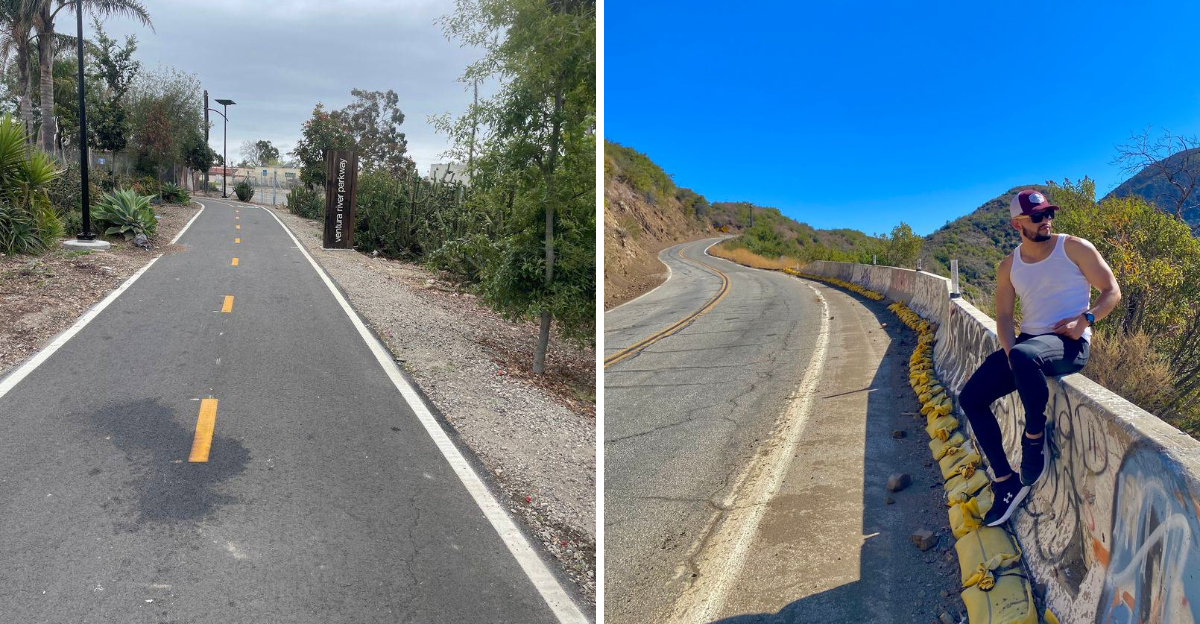
Nine and a half miles of old railroad suddenly sounds much more inviting when nobody expects a train anymore.
The corridor now carries bikes through a gentler slice of Southern California, where the route gradually trades busier surroundings for open views and the foothills around Ojai.
You are following transportation history, but it does not feel like a museum lesson.
This California rail-trail gives cyclists an easy way to turn a former line into a destination ride.
Pedal steadily and save enough energy for the return trip. The route works just as well for a casual outing as it does for anyone chasing a longer day in the saddle.
The best moment may come when Ojai finally appears ahead.
An abandoned railroad once connected these communities. Now a bike does the job just fine.
Following A Former Southern Pacific Railroad Route
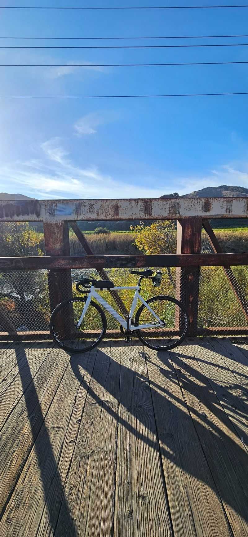
Long before bicycles rolled through here, the corridor belonged to the Ventura and Ojai Valley Railroad, a line that later operated as a branch of the Southern Pacific Railroad.
Freight moved through the valley on these tracks, with agricultural shipments among the most important cargo.
Severe flooding in 1969 damaged portions of the railbed, and the northern section of the line was eventually abandoned.
Rather than letting the corridor disappear into private parcels, Ventura County acquired the right-of-way and kept it whole.
Riding it now feels different from pedaling a bike lane painted beside a busy street. Railroad builders needed gentle grades and long, patient curves, so the path leans into those same qualities.
There are no sudden climbs and no sharp turns that force a hard brake.
Small clues to the past show up along the way, including the straightness of certain stretches and the way the route cuts behind properties instead of alongside them.
The trail sits on the track-bed itself, which is why it holds such a steady line through the valley floor.
Wheels have changed, but the alignment stays the same, and the story travels along with every mile.
A Route That Stretches Roughly 9.5 Miles
Distance matters when planning a ride, and the numbers here land in a friendly range.
The main path measures somewhere between about 9.3 and 9.5 miles, running from the Ventura side near Foster Park up into the town of Ojai, where it ends in the neighborhood of Fox Street and Soule Park.
Out and back adds up to roughly 19 miles, which suits a steady weekend cyclist without demanding an athlete’s training plan.
Shorter chunks work just as well, since several access points let riders start partway along and turn around whenever energy runs low.
Walkers often pick a two or three mile segment and treat it as a loop-free stroll.
Families with younger kids sometimes ride only the Ojai end, where the surroundings feel more open and the town sits close enough for a snack stop.
Because the corridor once carried trains, the elevation change spreads out gradually rather than arriving in bursts.
The Ventura-to-Ojai direction climbs slightly, which means the return trip usually feels easier than the outbound leg.
Planning around water and shade helps, especially in warmer months. Carrying more than expected is rarely a mistake on a route this long, and a small repair kit covers the gaps between services.
Decades Of Work Turned Rails Into A Public Path
Conversion projects like this one rarely happen overnight, and the timeline here proves it.
Ventura County took hold of the abandoned railroad right-of-way and began shaping it into public recreation space during the early 1980s.
The name Ojai Valley Trail became official on June 28, 1983, covering both the Ken MacDonald Bike Path and the Southern Pacific Equestrian and Hiking Path.
Those two names hint at the dual-surface design that still defines the corridor today.
Construction moved forward in stages through the decade, and the trail officially opened to the public in 1989. Nearly forty years later, it remains one of the better-known rail-trails in Southern California.
Understanding that history changes how the ride feels. Mature trees now arch over sections that were once bare railbed, and the trail has become a long-standing part of the surrounding communities.
Local support played a large part in keeping the corridor intact.
Equestrian groups, cyclists, and county planners each pushed for a version of the trail that served their interests, and the compromise created something broader than any single-use path.
Riders benefit from decisions made decades ago by people who saw value in an abandoned strip of land.
Smooth Asphalt Makes The Ride Approachable
Plenty of rail-trails across the country stay unpaved, which limits who can comfortably use them.
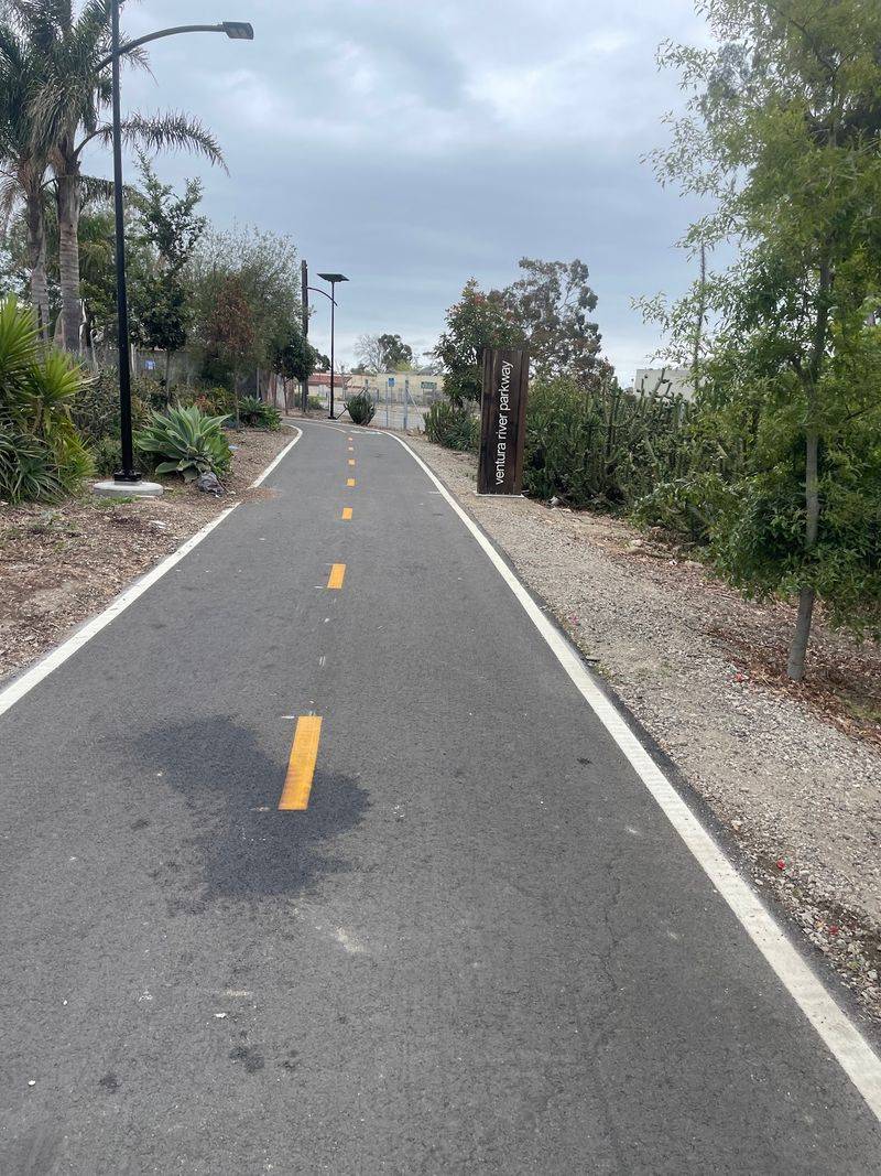
Here, most of the route carries a smooth asphalt surface built for bicycles and pedestrians, and that single detail opens the trail to a much wider crowd.
Road bikes with narrow tires handle the pavement without trouble. Hybrid bikes, cruisers, and kids’ bikes all roll fine as well, and jogging strollers manage the surface better than they would on loose gravel.
Steady pavement also makes pacing easier. Riders can hold a comfortable speed without constantly scanning for ruts, which leaves more attention available for the views and for other trail users.
Shade patterns shift along the way, with cooler pockets under the tree canopy and brighter, warmer stretches where the corridor opens up.
Sunglasses help during those transitions, since the light changes quickly in some sections.
Root growth from nearby trees had created bumpy spots over the years, though recent county work addressed a good share of those problem areas.
The surface now feels noticeably more consistent than it did before the renovation.
Anyone who has bounced along a rough dirt path will appreciate the difference. Pavement is not glamorous, but it turns a scenic corridor into something usable by almost everyone.
Horseback Riders Get Their Own Bridle Path
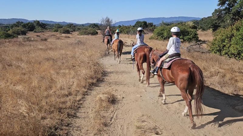
Few bike paths run beside a horse trail, yet that side-by-side arrangement is part of what gives this corridor its personality.
A separate bridle path of dirt or wood chips runs parallel to the asphalt, keeping hooves off the pavement and bikes off the softer ground.
A rustic post-and-rail fence divides the two lanes through much of the route. The fence acts as a visual reminder that the trail belongs to more than one kind of traveler.
Horses appreciate the softer footing, and cyclists avoid the surprise of meeting a large animal in a narrow space. The arrangement reduces friction for everyone without requiring signs at every turn.
Common courtesy still matters when paths cross. Slowing down near horses, avoiding sudden noises, and giving a calm verbal greeting help prevent a startled animal, since a spooked horse can move unpredictably.
Ojai has a long ranching and equestrian history, so seeing riders on the trail fits the character of the valley rather than feeling out of place. Morning hours often bring the most horse traffic.
Watching a horse move quietly along the dirt while bicycles glide past on the pavement is one of the small pleasures of this particular trail.
Mountain Views Open Up Near Ojai
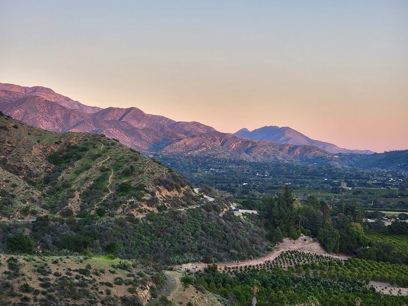
The payoff builds slowly as the route heads north. Tree cover thins out closer to Ojai, and the valley spreads open with the Topatopa Mountains rising along the horizon.
Those ridgelines dominate the view from the upper end of the trail. Depending on the time of day, the rock faces shift between pale tan, warm gold, and deep shadow.
Ojai’s visitor bureau highlights the valley scenery along the trail, and the open stretches near town are the reason. Riders coming from the Ventura side often stop here simply to look around.
Late afternoon light tends to be the most striking, since the mountains catch color as the sun drops. Photographers sometimes plan the ride around that window.
Citrus groves and pastureland appear in the middle distance, adding texture between the pavement and the peaks.
The combination of working farmland and rugged mountains gives the scene a distinctly Southern California feel.
Reaching the Ojai end also means access to the town itself, with shops and cafes a short pedal from the trail terminus. Locking up and walking around for a while turns a bike ride into a fuller outing.
Walkers, Joggers, And Leashed Dogs Share The Corridor
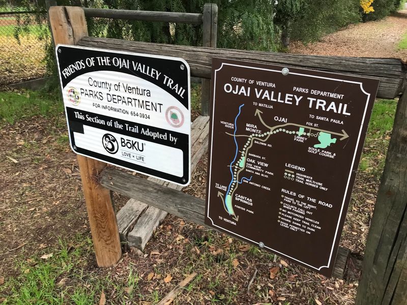
Bicycles get most of the attention, but the corridor serves a much broader crowd. Walkers, joggers, and people out with leashed dogs use the path throughout the day, and the mix shifts depending on the hour.
Early mornings bring runners and dog walkers. Midday tends toward casual cyclists and strollers, while late afternoons often see a blend of everyone at once.
Ventura County rules require pets to stay on a leash no longer than six feet. Keeping to that limit prevents tangles with passing bikes and keeps the shared space predictable.
Announcing a pass with a bell or a simple spoken heads-up goes a long way. Sound carries oddly under tree cover, so a little extra warning helps.
Families with small children often stick to short segments, and the flat grade makes that easy. Benches and shaded spots appear along the way for anyone who needs a break.
Weekday mornings usually feel the quietest, while weekends draw noticeably more foot and bike traffic. Choosing the timing around personal preference for solitude or company works well here.
Treating the path as a shared neighborhood space rather than a race course keeps the atmosphere relaxed for everybody using it.
A $3.2 Million Renovation Refreshed The Whole Route
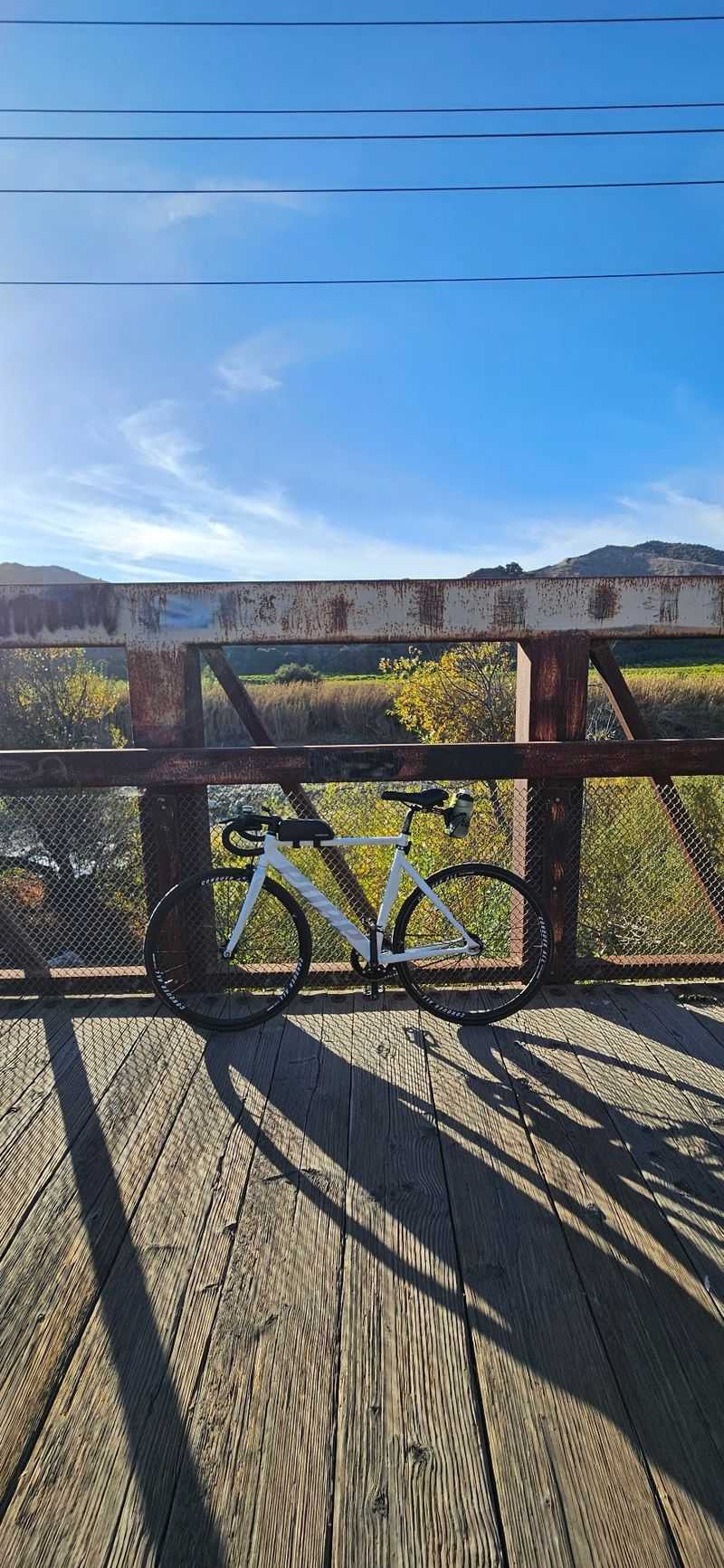
Aging pavement had become a real complaint before the county stepped in.
A renovation project covering roughly 9.5 miles of the trail brought about $3.2 million in improvements, funded through a federal grant tied to the American Rescue Plan Act of 2021.
Work included resurfacing the existing path, improving drainage, upgrading trailheads, and installing clearer signage.
Vegetation management and root mitigation addressed the bumps and overgrowth that had built up over decades.
A grand reopening ceremony took place on November 12, 2025, marking the completion of the project. Riders who knew the trail in earlier years notice the difference immediately in the surface quality.
Better drainage matters more than it sounds. Standing water and washed-out edges had caused problems during heavy rain, and improved handling of runoff should reduce those closures.
Clearer signage helps newcomers figure out access points and distances without guessing. Trailhead upgrades also make starting the ride simpler, especially for visitors unfamiliar with the area.
Investment on this scale signals that the corridor is treated as real infrastructure rather than a leftover strip of land. For anyone who put off riding because of rough pavement, the refreshed trail is worth another look.