This California Redwood Forest Hike Is A Shaded 3.5-Mile Escape Along A Flowing Creek
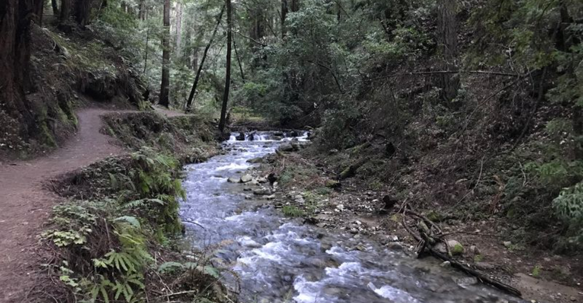
The temperature seems to drop before the forest has fully swallowed the trail. Then the redwoods take over.
Their canopy shuts out much of the bright California sun, while a creek threads through the greenery below.
Ferns crowd the edges, fallen logs interrupt the view, and the outside world starts feeling unusually distant for a hike that does not require an entire day. Three and a half miles is enough here.
Enough to settle into the shade, hear water instead of traffic, and let the scale of the trees repeatedly mess with your sense of proportion.
The route feels intimate rather than grand, with the creek keeping company through much of the forest.
There is no dramatic summit waiting to justify the walk. That would almost miss the point.
The reward is happening around you the entire time: cool air and redwoods making an ordinary afternoon feel considerably quieter.
A Roughly 3.5-Mile Loop That Fits A Lot Into A Short Walk
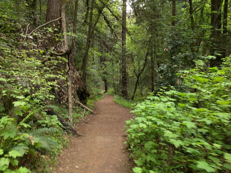
Short hikes sometimes feel like a compromise, but the main loop in the Fall Creek Unit gives back far more than its mileage suggests.
The distance sits at about 3.5 miles, which most steady walkers finish in roughly two hours without rushing.
Stops for photos, snack breaks, and looking at the creek can stretch that closer to three hours, and slowing down is part of the appeal here.
What makes the route feel bigger than the numbers is the variety packed into it.
Trail sections hug the water, climb through quiet groves, cross small bridges, and pass reminders of old industry, so the scenery keeps shifting.
Footing is mostly packed dirt with roots, rocks, and occasional damp patches, especially in the wetter months.
Sturdy shoes with decent grip make the walk more comfortable than sneakers with worn soles.
Families with older kids often manage the loop fine, though younger children may need extra time and encouragement on the uphill stretches.
Because the total distance stays modest, the hike works well as a morning outing followed by lunch in nearby Felton.
Anyone visiting the Santa Cruz Mountains with limited hours can still get a genuine redwood forest experience here.
Bringing water and a light snack is smart since there are no services along the trail itself.
Towering Second-Growth Redwoods Keep The Route Cool
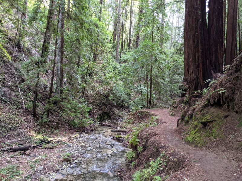
Stepping into the canyon feels a bit like walking indoors, because the canopy blocks most of the direct sun.
Second-growth redwoods dominate the Fall Creek Unit, meaning the trees grew back after historic logging rather than standing untouched for a thousand years.
Even so, many of them reach impressive heights and widths, and the overall effect is a green ceiling that stays dense through the year.
Temperatures under that cover often feel noticeably cooler than out in the open, which changes how a summer hike plays out.
Light arrives in scattered patches instead of harsh glare, so eyes relax and photos take on a soft, even quality.
A light layer is useful because shaded canyon air can feel chilly in the morning, particularly near the water.
Redwoods grow in family circles around old stumps, and spotting those rings is a small game worth playing while walking.
Bark on mature trunks is thick, fibrous, and reddish brown, and it feels surprisingly soft compared with the hard bark of oaks.
Sound behaves differently under a canopy like this, with voices sounding closer and distant noise fading away.
Anyone hoping for wide views should adjust expectations, since the appeal here is intimacy rather than sweeping panoramas.
Fall Creek Keeps Flowing Through The Canyon All Year
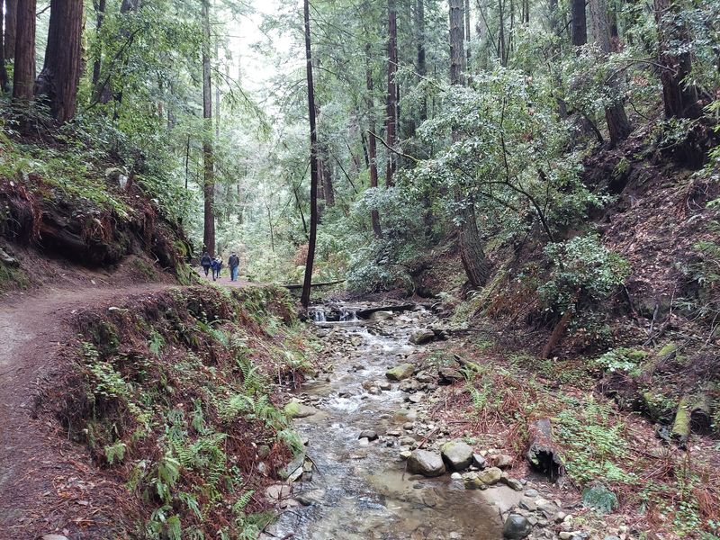
Plenty of California streams dry up by late summer, which makes a year-round flow feel like a small luxury.
Fall Creek runs through its canyon in every season, and the Fall Creek Unit protects nearly the entire watershed that feeds it.
Volume changes a great deal between winter and late summer, so the same spot can look like a rushing channel in February and a quiet trickle in September.
Sound is a big part of the experience, and moving water provides a steady background hum that softens footsteps and conversation.
Water clarity is often good, letting hikers see pebbles, submerged branches, and sometimes small fish holding in shaded pools.
Cool air rises off the surface, which helps explain why the canyon feels several degrees fresher than the road above.
After heavy rain, sections of the creek can run high and fast, and crossings deserve extra caution during those periods.
Checking recent conditions before driving out is a practical habit for winter and early spring visits.
Birds, dripping leaves, and shifting current become easier to notice when nobody is talking.
Wading is not the point here, since protecting the streambed matters for the fish and plants that depend on it.
Long Stretches Of Trail Run Right Beside The Water
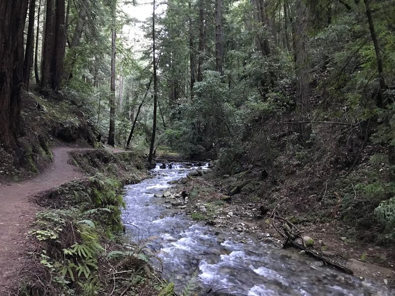
Trails that only tease at water can feel frustrating, so the layout here comes as a relief.
Long portions of the Fall Creek Trail stay within a few steps of the creek, close enough that the sound never disappears.
Walking that near flowing water changes the pace of a hike, because there is always something small to look at.
Mossy logs lie across the channel in places, and ferns lean out over the banks in thick clusters.
Damp ground near the water can stay soft well into spring, so expect a few muddy patches rather than perfectly dry tread.
Trail width narrows in spots, which means stepping aside to let others pass is part of normal courtesy on busy weekends.
Photographers often find this section the most rewarding, since soft light and reflective water pair nicely together.
Kids tend to focus on the creek more than the trees, and giving them time to look at rocks and riffles keeps everyone happier.
Roots and stones appear frequently along the streamside path, so watching footing matters more than covering ground quickly.
Benches are not a feature of this route, though fallen logs sometimes serve as informal rest spots.
Carrying out every wrapper and peel keeps the banks looking the way most hikers hope to find them.
Small Footbridges Carry Hikers Across The Water
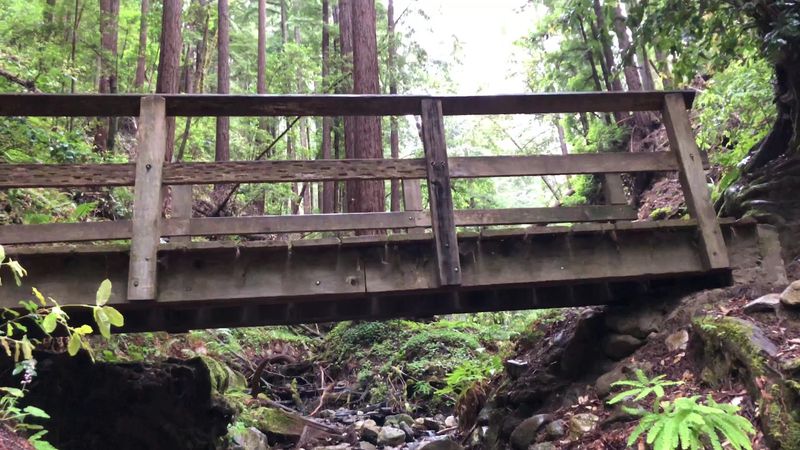
Bridges have a way of turning a walk into a series of little events, and the Fall Creek Unit uses several of them.
Simple wooden spans cross the creek at various points along the route, letting the trail switch banks as the canyon narrows and widens.
Each crossing offers a natural pause, since standing mid-bridge is the easiest way to look straight down the length of the creek.
Surfaces can be slick when wet, especially in the shaded mornings when moisture lingers on the planks. Taking those crossings slowly is a reasonable habit, particularly with kids or a loaded pack.
Bridge conditions in creek canyons change over time due to storms and maintenance work, so a span that looks new one year may show wear later.
Checking the park’s current trail information before a visit helps avoid surprises after big winter storms.
Photos taken from the bridges often capture the canyon better than shots from the trail itself, because the view opens up along the water corridor.
Sound also shifts on a bridge, with the creek suddenly directly underfoot instead of off to one side.
Expect Around 500 To 650 Feet Of Climbing
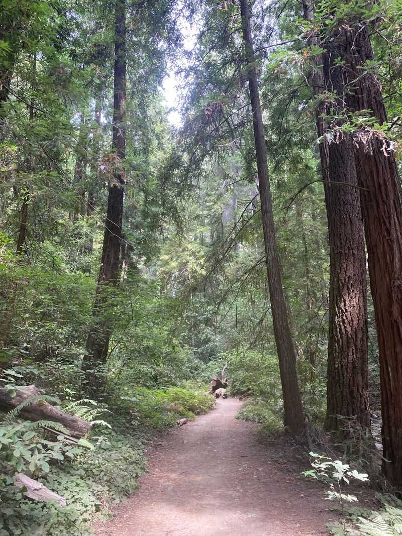
Flat is not quite the right word for this loop, though nothing about it feels extreme either.
Elevation gain lands somewhere around 500 to 650 feet depending on the exact route, with about 521 feet commonly listed for the 3.5-mile version.
Most of that climbing comes in shorter pushes rather than one long grind, which keeps the effort manageable.
Canyon hikes work in a specific way, since the trail follows water at the bottom and then rises when it needs to leave the creek.
Those uphill stretches are where breathing gets heavier, and pausing to look back down through the trunks is a good excuse to catch a breath.
Descents can be more demanding on knees than the climbs are on lungs, especially on loose or leaf-covered ground.
Trekking poles help some hikers on the downhill portions, though plenty of people manage without them. Fitness levels vary, and treating this as a moderate rather than easy hike sets more realistic expectations.
Cool shade makes the climbing feel easier than the same effort would in open sun.
Cape Horn Trail Lifts The Route Higher Into The Trees
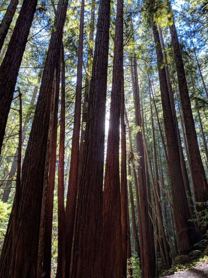
Climbing away from the water changes the character of the hike almost immediately.
Cape Horn Trail carries the route higher through the redwoods, offering a different vantage on the same canyon.
Creek sound fades gradually as the trail gains elevation, replaced by wind moving through the upper branches. Light behaves differently up here too, arriving in longer shafts where the canopy thins slightly.
Trunk spacing can feel more open on the slopes, which makes the trees look even taller from a distance. Trail surface tends to be drier than the creekside sections, so footing often feels firmer underfoot.
Using this connector is what turns an out-and-back along the creek into a proper loop with variety.
Hikers who prefer steady climbing over flat walking often name this stretch as the most satisfying part.
Signage marks the junctions, though paying attention at each one matters since several trails meet in this part of the unit.
Taking a photo of the trailhead map on a phone works as a simple backup for navigation.Cell service in canyon terrain can be unreliable, so downloaded maps beat live ones.
Historic Lime Kilns And A Barrel Mill Sit Under The Trees
Ruins in a forest always raise questions, and the ones here have solid answers.
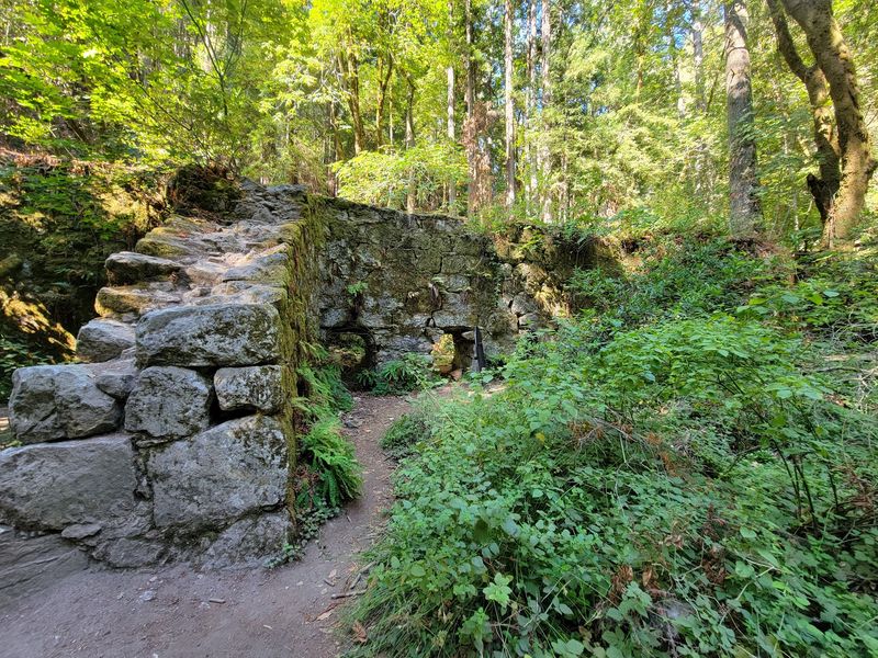
Historic lime-processing remains stand within the Fall Creek Unit, including old lime kilns and the site of a barrel mill.
Redwood was cut to fuel those kilns and to make barrels for shipping lime, which means the forest itself was part of the operation.
Lime produced in this canyon contributed to construction across California during a period of rapid growth.
Stone structures now sit quietly beneath second-growth trees, with moss and ferns softening their edges.
Interpretive information at the park explains the process better than guesswork does, and reading it changes how the whole canyon looks.
Standing near the kilns makes the scale of the old industry easier to grasp than any description can.
Historic features like these are fragile, so climbing on them is not appropriate and can damage what remains. Viewing from the trail keeps the site intact for the next group of visitors.
Understanding that the surrounding redwoods regrew after heavy cutting adds weight to how tall they already stand today. Recovery on that scale takes generations rather than years.
The combination of history and regrowth is what makes this section feel different from an ordinary forest walk.
Practical Details Before Driving To The Felton Trailhead
Getting the logistics right makes the difference between a smooth outing and a frustrating one.
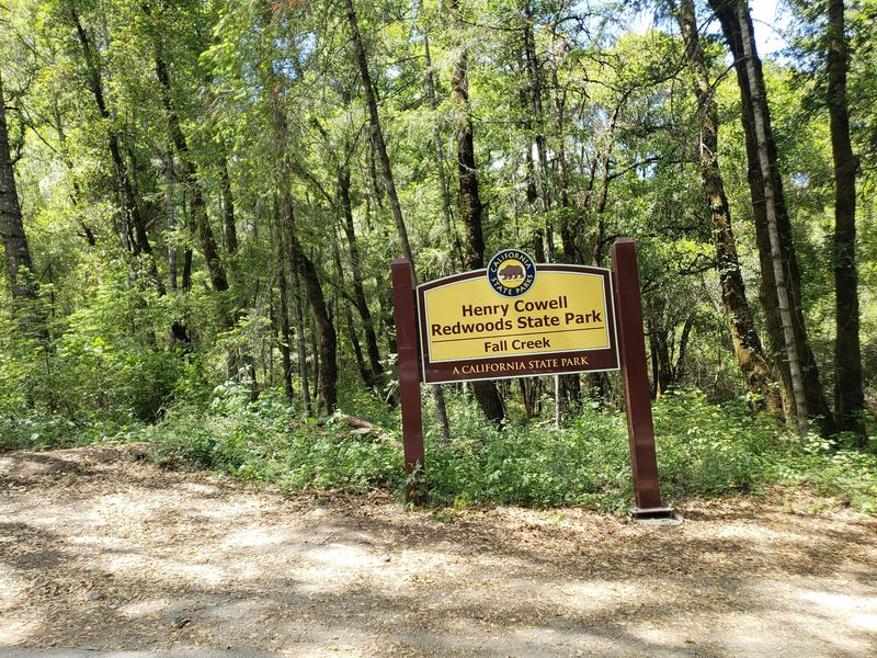
Trailhead access for the Fall Creek Unit of Henry Cowell Redwoods State Park sits along Felton Empire Road off Highway 9, just outside downtown Felton, California.
Parking near the entrance is limited compared with the main park, so arriving early on weekends is the practical move.
The unit operates for day use only, which keeps the focus on hiking rather than camping or picnicking crowds.
Bicycles and dogs are not permitted on any trails within the Fall Creek Unit, a rule aimed at protecting habitat and wildlife.
All trails in the unit are open again following the CZU Fire, though checking current conditions before leaving home remains sensible.
Nearly 2,390 acres and almost 20 miles of trails mean there is far more here than a single loop can cover.
Restrooms and services are minimal at this trailhead compared with the developed side of the park. Bringing water, snacks, and a layer covers most needs for a half-day visit.
Weekdays generally feel quieter than weekends, and mornings tend to be the calmest window.
Downtown Felton sits close enough for a meal afterward, which makes the whole trip easy to plan around.