This Free North Carolina Ferry Has Been Carrying Travelers To Ocracoke Since 1953
There is a moment on this North Carolina road trip when the directions stop making sense.
The highway reaches the water.
Then the cars keep going anyway.
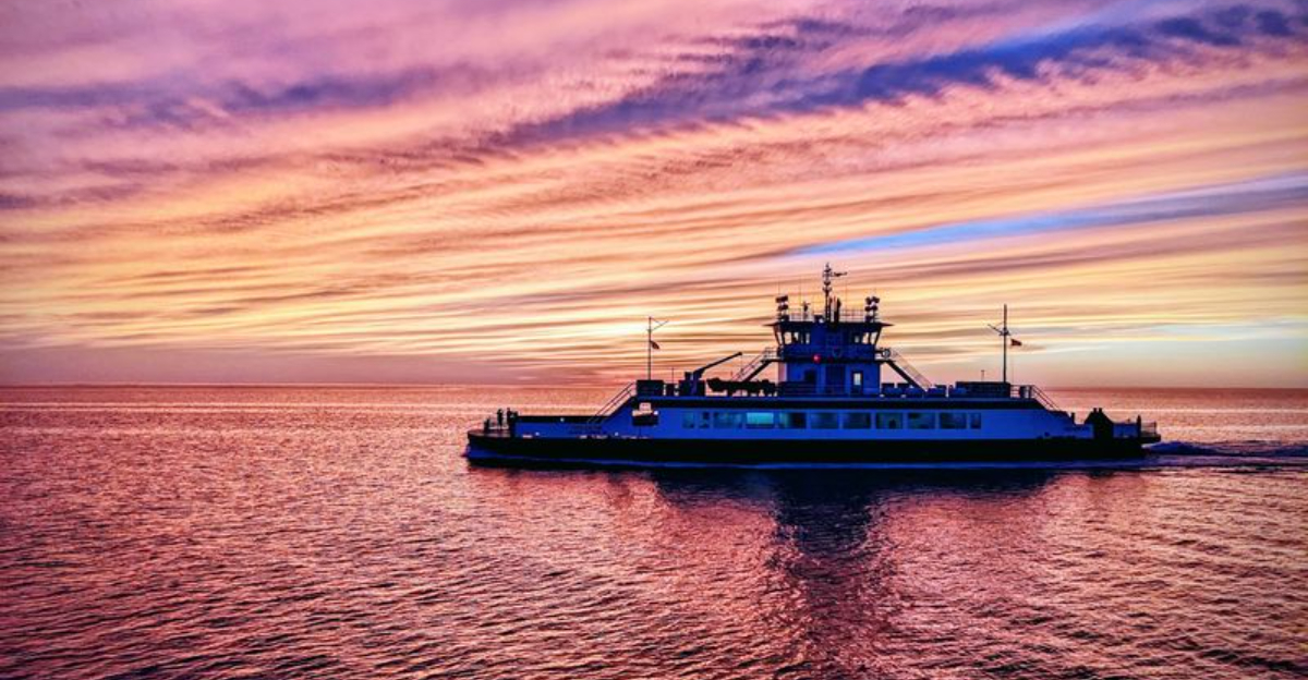
Instead of turning around, drivers roll aboard a state ferry and continue across the inlet with the road temporarily replaced by open water. The crossing lasts about 70 minutes, costs nothing in 2026, and has been part of this Outer Banks journey for generations.
That last part is easy to underestimate.
Ferry service here dates back to the 1950s, which means travelers have been loading vehicles onto boats long before GPS had the chance to sound confused about it.
Today, departures run throughout the day during the busiest seasons, making the crossing feel less like a special excursion and more like an extremely unusual piece of public transportation.
You start the trip behind a steering wheel.
Then, without changing destinations, your car gets a boat ride.
North Carolina really could have built a normal road story here. Thankfully, it did not.
Board One Of The Outer Banks’ Most Useful Free Rides
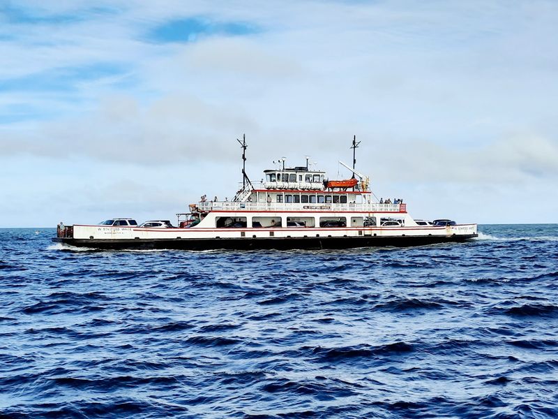
The end of the pavement becomes a loading lane instead of a dead end. At the Hatteras terminal, drivers queue for the vehicle ferry while crew members direct cars onto vessels bound for the north end of Ocracoke Island.
North Carolina Department of Transportation Ferry Division operates the route as part of a statewide system with seven regular crossings, and Hatteras-Ocracoke is officially part of the Outer Banks National Scenic Byway.
The route is especially important because there is no bridge connecting Hatteras and Ocracoke.
For residents, the ferry provides access to everyday needs beyond the island, while visitors use the same crossing to continue an Outer Banks road trip. The Hatteras terminal is at 59063 N.C.
Highway 12, where a comfort station provides restrooms and vending machines near the vehicle-stacking lanes. Once boarding begins, crew members fit vehicles onto the deck before the ramp rises and Hatteras starts slipping behind.
It is public transportation doing a practical job, but an open-water crossing gives the commute considerably more scenery than an ordinary stretch of highway.
Follow A Ferry Route That Dates Back To 1953
The history is a little more layered than one date on a timeline suggests. NCDOT records state that ferry service across Hatteras Inlet began in 1953, connecting Hatteras and Ocracoke as part of the developing coastal transportation network.
The story of the crossing itself starts even earlier. Hatteras resident Frazier Peele began a private ferry operation around 1950, initially using a remarkably small vessel that could carry only a handful of vehicles.
North Carolina eventually purchased Peele’s operation, and National Park Service and Ocracoke historical accounts place the beginning of state-owned, year-round toll-free service in 1957.
The timing coincided with major changes on Ocracoke, including completion of a paved road linking the village with the ferry landing.
Modern vessels are vastly different from those early boats, but the reason for crossing has barely changed. People still need a reliable connection between two barrier islands separated by Hatteras Inlet.
More than seven decades after the route took shape, the ferry remains an essential piece of travel along this section of the Outer Banks.
Bring Your Vehicle Along For The Crossing
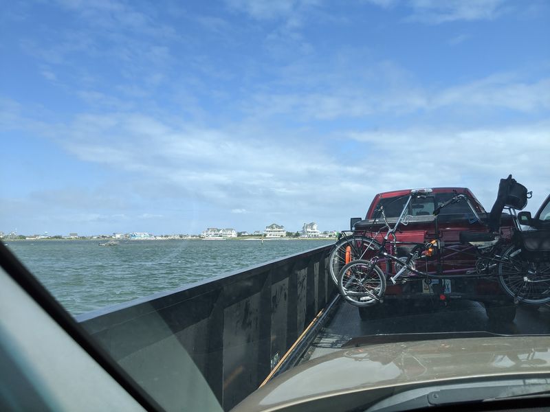
The big advantage of this route is waiting in line with you. Cars make the crossing aboard the vehicle ferry, allowing travelers to continue driving once they reach Ocracoke rather than leaving transportation behind in Hatteras.
The ferry delivers vehicles to South Dock on the north end of Ocracoke Island, not directly into Ocracoke Village. From there, NC Highway 12 continues south for roughly 13 miles through Cape Hatteras National Seashore before reaching the village.
That distinction matters when planning a day trip because the vehicle ferry is different from the seasonal Ocracoke Express passenger ferry, which travels directly to Silver Lake Harbor in the village and charges a fare.
Bicycles and pedestrians can also use the vehicle-ferry system, and reservations are not required for them on this route.
The Hatteras terminal marks the southern end of the highway on Hatteras Island, so arriving there feels less like seeking out an attraction and more like continuing down the road. Only here, the next section of that journey requires a vessel rather than pavement.
Spend About 70 Minutes Traveling Across The Water
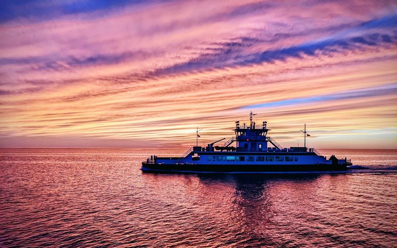
There is enough time to settle into the rhythm of the crossing before land returns beneath the wheels. The official 2026 schedule gives the Hatteras-Ocracoke vehicle ferry a 70-minute crossing time, although weather, channel conditions, and other operational factors can affect service.
Restrooms are available aboard ferry vessels as well as at the terminals, and many ferries and terminals also have snack and drink vending machines. Meals are not served onboard.
The journey follows a marked route through water that requires ongoing attention because this part of the Outer Banks is continually reshaped by shoaling and shifting channels.
That reality became especially visible in 2026, when dredging in Sloop Channel temporarily changed the schedule before full summer service returned on June 25.
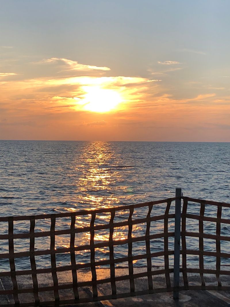
A 70-minute ride is long enough for the crossing to feel like its own part of the trip rather than a quick shuttle between two ramps. The shoreline gradually falls away, the water opens around the vessel, and the drive resumes only after Ocracoke’s northern end comes back into view.
Watch The Barrier Islands Change From The Ferry Deck
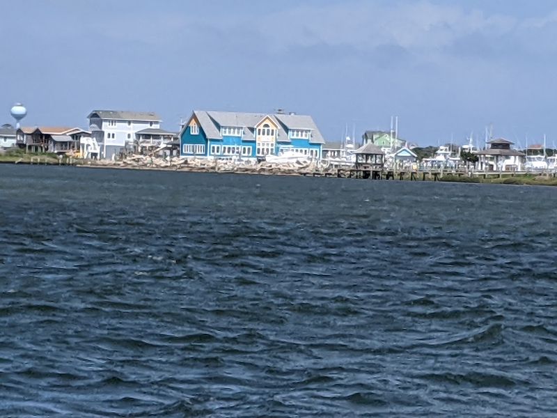
The landscape stays low enough that distance becomes part of the view. Hatteras Island gradually recedes behind the vessel while the undeveloped northern end of Ocracoke begins appearing ahead, with water and narrow strips of barrier-island terrain filling most of the horizon.
The route crosses Hatteras Inlet and connects two sections of Cape Hatteras National Seashore, a protected coastal landscape shaped continuously by wind, tides, waves, and storms.
Channel markers provide reminders that the vessel is following a carefully maintained path rather than simply pointing toward the opposite shore.
Conditions here can change enough that dredging becomes necessary to keep approaches navigable, as happened at the Ocracoke South Dock entrance during the 2026 season. Seabirds add movement above and around the water, while the lack of buildings across much of the view makes the barrier islands look remarkably thin from offshore.
The North Carolina Department of Transportation Ferry Division may operate the crossing primarily as transportation, but being out on the water gives passengers a perspective on the Outer Banks that cannot be duplicated from the driver’s seat on Highway 12.
Skip The Reservation And Join The First-Come Line
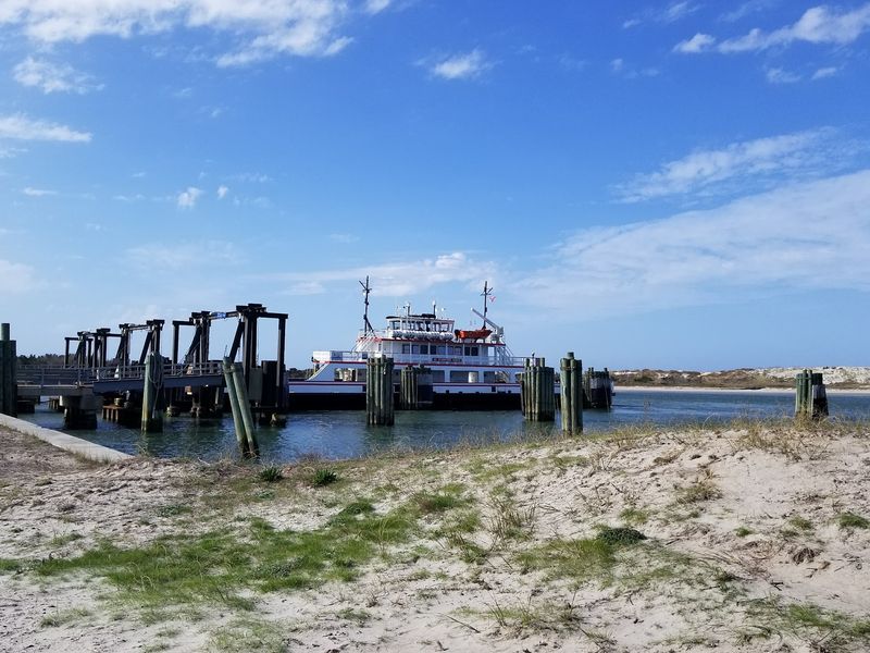
Planning this crossing does not involve selecting a seat or reserving a departure online.
The Hatteras-Ocracoke vehicle ferry does not accept reservations and operates on a first-come, first-served basis, with separate priority provisions available to qualifying Ocracoke residents and certain businesses.
That makes timing more important during busy travel periods. The 2026 schedule changes through the year, with more departures added during the heavier spring and summer season.
From March 31 through October 19, the published schedule provides 26 departures from each side on a typical day. Waiting time can still vary because the number of vehicles arriving does not always line up neatly with the space available on the next vessel.
At the Hatteras terminal, travelers already in the queue may step out to use nearby facilities, although the National Park Service advises returning to the vehicle at least 10 minutes before the scheduled departure.
Schedule disruptions are also possible, so the Ferry Information Notification System provides text and email updates when operational conditions change.
Reach Ocracoke Without Paying A Vehicle Ferry Fare
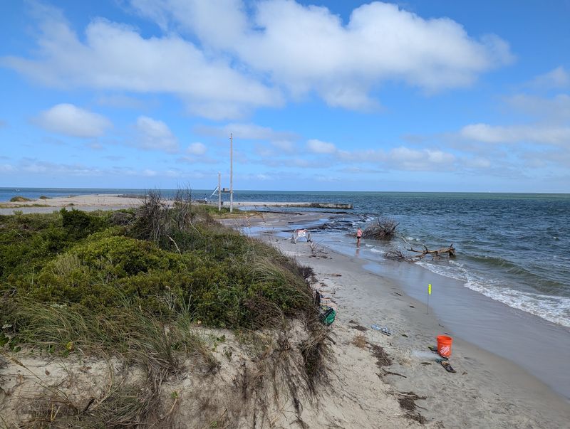
As of September 2026, the cost of bringing a normal vehicle across Hatteras Inlet is still zero. The Hatteras-Ocracoke vehicle route remains one of North Carolina’s untolled ferry crossings, while the longer Cedar Island-Ocracoke and Swan Quarter-Ocracoke vehicle routes charge fares.
The seasonal Ocracoke Express is also a separate paid service, costing $15 round trip for most passengers in 2026. The free status of the vehicle crossing is scheduled to change, however.
North Carolina Session Law 2026-41 requires tolls on currently free ferry routes, including Hatteras-Ocracoke, beginning January 1, 2027.
The North Carolina Department of Transportation Ferry Division began holding public listening sessions in September 2026 as part of that implementation process.
For travelers making the crossing before that change takes effect, no vehicle fare is currently collected.
That makes the route an unusually substantial free experience: roughly 70 minutes on the water, transportation for the vehicle, and direct continuation of an Outer Banks highway journey without a toll booth standing between the islands.
Make The Crossing Part Of The Adventure Instead Of Just Transportation
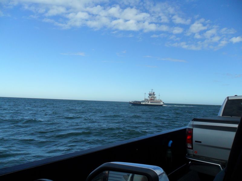
Ocracoke does not arrive all at once when the ferry ramp drops. The vehicle route reaches the island’s quiet northern end, leaving a drive down NC Highway 12 before the restaurants, shops, lighthouse, and historic streets of Ocracoke Village appear.
That extra stretch is part of what makes the trip feel different from simply driving across a bridge.
North Carolina Department of Transportation Ferry Division keeps the connection operating year-round, allowing Highway 12 travelers to move between Hatteras and Ocracoke while experiencing open water in the middle of the route.
Current schedules start early and extend late into the evening during the busiest season, making anything from a morning crossing to a much later return possible.
Travelers should still check ferry status before setting out because weather, dredging, mechanical issues, and changing channel conditions can affect departures.
The practical purpose of the ferry has always mattered to island residents, but visitors get something extra from the same ride.
For about 70 minutes, the highway becomes a boat route, the barrier islands move to the horizon, and simply getting from one place to another becomes one of the memorable parts of the Outer Banks trip.