This Stunning Arizona Lake Town Might Just Be The Most Beautiful Small Town In The Southwest
Nobody builds a town this beautiful on purpose. This one went up in the fifties as housing for the crews working a dam project in northern Arizona.
The layout is a grid. The architecture is honest and plain.
You will not find a charming main street waiting for you.
Then you drive four minutes in any direction and it all makes sense.
The town sits on a mesa, several hundred feet above one of the most photographed lakes in the country. Red rock runs in every direction until it stops being rock and starts being sky.
Slot canyons sit a few miles out. A famous bend in the river is practically down the road.
About seven thousand people live here. It is small in every practical sense, and surrounded by scenery that makes national parks a little nervous.
So no, the beauty is not in the buildings. Once you see where they are standing, you stop caring.
Born From Dust And Dam Crews
Page began as a temporary camp for dam workers and simply never left. Construction crews arrived in 1957, and a town grew around their trailers.
The site sat on Manson Mesa, high above the Colorado River. Land was traded with the Navajo Nation to make the project possible.
Most towns take a century to find their character. This one managed it in a few decades, powered by water, rock, and stubborn optimism.
Today about 7,400 people call the mesa home. That small number handles a steady stream of visitors from around the world.
You will notice the wide streets right away. They were laid out for heavy equipment, not for charm, yet the openness feels generous.
Red rock rises at the edges of every neighborhood. Sunset turns the whole mesa into something closer to copper than dirt.
Coconino County claims it, though Utah sits just a short drive north. That border location explains why so many road trips pass through.
The name honors John C. Page, a former commissioner of the Bureau of Reclamation.
Few towns can point to such a tidy origin story.
Plan your first evening here with no schedule at all. Let the light do the talking while you get your bearings.
Where The River Makes A Perfect U-Turn
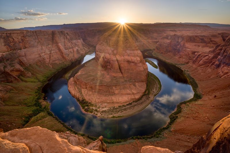
Rivers rarely show off, but the Colorado makes an exception at Horseshoe Bend. The water curves into a near-complete loop around a towering sandstone butte.
The overlook sits around 4,200 feet above sea level. The river runs roughly 1,000 feet below your boots.
Green water against orange rock is the whole trick. Millions of years of carving made that color scheme happen.
The walk from the parking area is short but sandy. Wear real shoes and carry more water than you think you need.
Sunrise crowds are thinner and the air is cooler. Late afternoon delivers warmer color on the canyon walls.
A railed viewing area protects the main overlook. Stay behind it and let the photos take care of themselves.
Wide lenses help because the bend is bigger than it looks. Phone cameras struggle to fit the entire curve in one frame.
Rafters sometimes float past far below, looking like grains of rice. Scale is the real souvenir you take home.
Shade is scarce along the path, so a hat earns its keep. Summer afternoons here get genuinely hot.
Give yourself an hour rather than fifteen minutes. The view rewards people who sit still for a while.
The overlook sits just minutes from the center of town. That short drive makes an easy start to any day.
Light Beams In A Sandstone Hallway
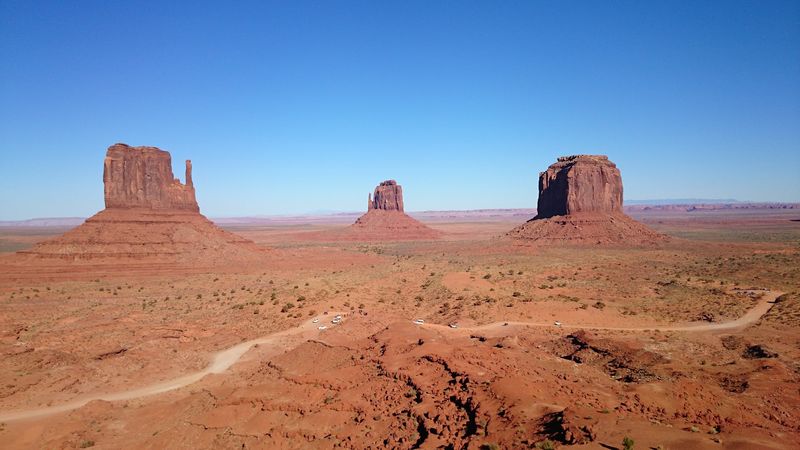
Few places turn sunlight into a solid object, yet Antelope Canyon manages it. Beams drop through narrow openings and land on the canyon floor.
The slot canyon sits on Navajo Nation land. Authorized Navajo guides lead every tour, which keeps visitors safe and respectful.
Flash floods carved the passage out of Navajo Sandstone. Water did the heavy work, and wind smoothed the edges.
Walls glow red, orange, pink, and purple depending on the hour. Midday brings the strongest beams into the upper section.
Reservations fill fast during warm months. Book well ahead rather than hoping for a walk-up spot.
The Navajo name is Tse bighanilini, meaning the place where water runs through rocks. That description is also a warning about weather.
The sandstone here dates back about 190 million years. You are walking through ancient dunes turned to stone.
Guides share stories about the canyon’s spiritual meaning. Listening matters as much as photographing.
Bags are limited on many tours, so travel light. A phone and a small camera will do the job.
Lower Antelope involves ladders and tighter turns. Upper Antelope stays flat and suits almost everyone.
Sound behaves strangely inside those curved walls. Voices soften, and the whole place feels hushed.
Give the tour your full attention. Twenty minutes in that slot canyon can outshine a week of sightseeing.
A Blue Maze With Nearly 2,000 Miles Of Shoreline
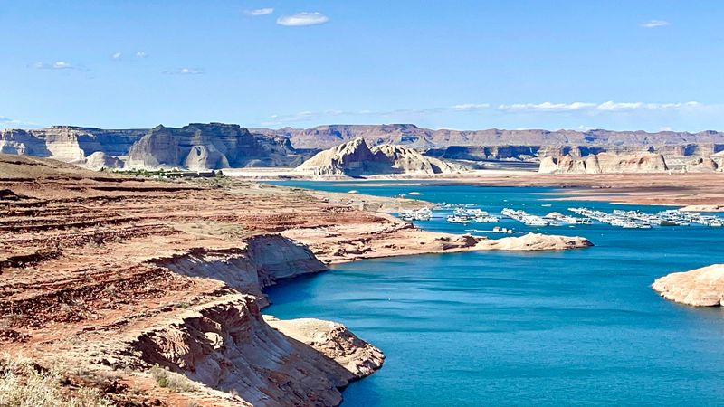
Nearly 2,000 miles of shoreline sounds impossible for a lake in the desert. Lake Powell delivers exactly that, stretching 186 miles across two states.
The reservoir straddles the Arizona and Utah border. Water fills old canyons, which explains the wild, branching shape.
Around 96 major canyons split off the main channel. Some run for miles before ending at a quiet wall.
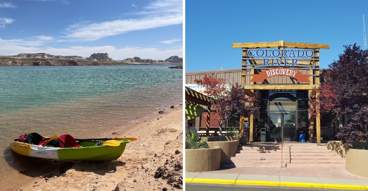
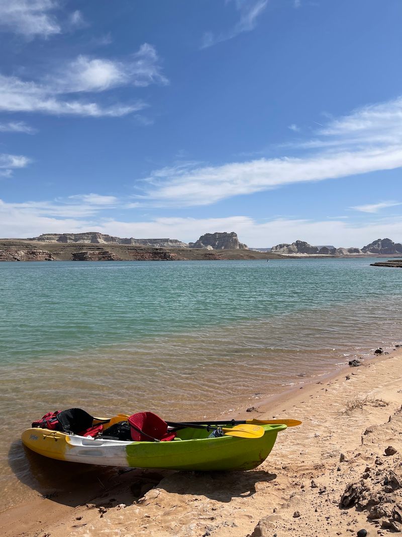
Boating, kayaking, and water skiing fill summer days. Rentals are available near Wahweap, the busiest marina area.
Padre Bay opens wide enough to feel like open sea. Sandstone islands break the surface in odd, beautiful shapes.
Kayakers often prefer the narrow side canyons. Calm water and towering walls make an unbeatable combination.
Boat tours run from the marina for people without their own vessel. Guides point out formations you would otherwise cruise right past.
Water levels shift from year to year. Check current conditions before planning a specific launch or beach.
Mornings are usually glassy and calm. Afternoon wind can pick up quickly across the open bays.
Sunscreen matters more than you expect out on the water. Reflection doubles the sunlight hitting your face.
Even a short cruise changes how you see the region. Red cliffs look different when you are floating beneath them.
The Wall Of Concrete That Started Everything
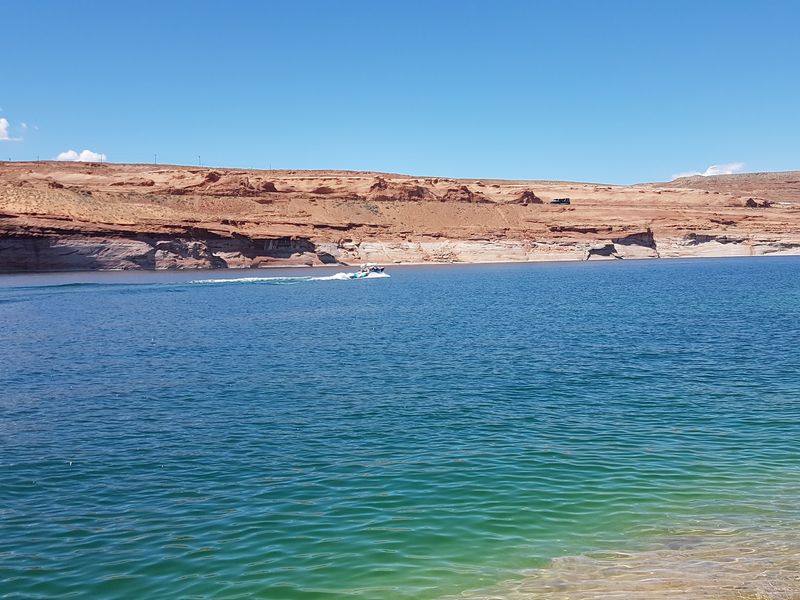
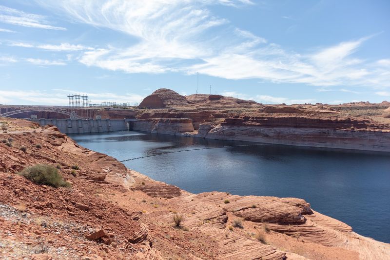
The town would not exist without the structure that created Lake Powell. Glen Canyon Dam rose through the 1960s and reshaped the region.
It ranks as the second-largest arch dam in the United States. The scale is hard to grasp until you stand near it.
The Carl Hayden Visitor Center explains the history and purpose. Exhibits cover engineering, water storage, and the crews who built it.
Viewing platforms give you clean sightlines down the canyon. The bridge nearby offers another angle worth a stop.
Photos rarely capture the depth of the canyon below. Cars on the bridge look like toys from certain viewpoints.
Guided tours sometimes go inside the structure. Availability changes, so check before building your plans around one.
Workers came from across the country for these jobs. Their families turned a construction camp into a real community.
The visitor center also makes a good air-conditioned break. Summer heat on the mesa is no joke.
Interpretive signs explain how water reaches distant cities. The connection between desert and faucet becomes obvious.
History fans will linger longer than they planned. Even reluctant visitors tend to leave impressed.
Set aside about an hour for the center and overlooks. It fits neatly between two bigger outings.
Trails And Overlooks The Crowds Skip
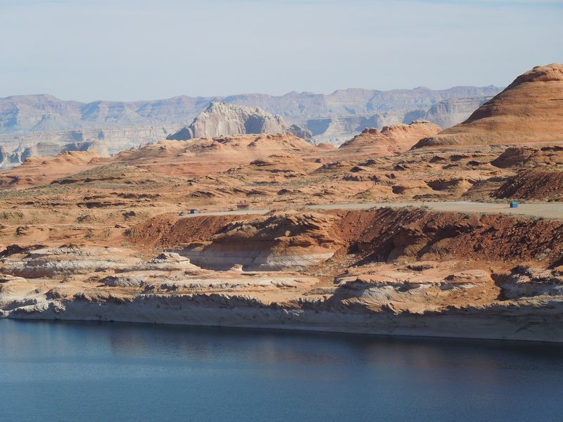
Famous spots get the attention, but the quiet ones often win. Wahweap Overlook delivers a sweeping look at the lake and the dam.
From up there you can see Wahweap Bay spreading out below. The layered view explains the geography better than any map.
The Hanging Gardens Trail is short and surprisingly green. Water seeps from the rock and feeds plants in an unlikely place.
Beehives Trail winds across slickrock domes with striped patterns. The footing feels odd at first, then oddly fun.
Alstrom Point rewards anyone willing to drive a rough road. High-clearance vehicles handle it best, and conditions change often.
The payoff is a view over Padre Bay and Gunsight Butte. Few overlooks in the Southwest match that panorama.
Carry water on every trail, even the short ones. Desert air pulls moisture out of you quietly.
Cairns mark several routes across bare rock. Pay attention to them, because footpaths disappear on slickrock.
Early morning light flatters every one of these spots. Evening works too, though you will want a headlamp.
Cell service fades quickly outside town limits. Download maps before you leave the pavement.
Quieter stops like these rarely feel crowded. That alone earns them a slot in your schedule.
Culture Woven Into The Red Rock
Land, language, and story shape this corner of Arizona in ways maps never show. Navajo Nation land begins just outside the city limits.
The town itself sits on ground acquired through a land exchange. That trade in the late 1950s made construction possible.
Navajo guides run the tours into the slot canyons nearby. Their knowledge covers geology, family history, and tradition.
Local galleries carry work from regional artists. Weavings, silver, and pottery show up alongside desert photography.
Buying directly from artists keeps money in the community. Ask about the maker when something catches your eye.
Place names here often carry meaning beyond scenery. Translations reveal how people understood water, rock, and weather.
Respect goes a long way on tribal land. Follow guide instructions and skip photos where they ask you to.
Frybread and Navajo tacos appear on menus around town. Both are hearty and worth ordering at least once.
Seasonal events bring music, food, and demonstrations. Ask locally about what is happening during your stay.
Understanding the culture makes the scenery mean more. Rock formations stop being only pretty backdrops.
Curiosity is welcome, and questions asked kindly usually get warm answers. Guides enjoy sharing what they know.
Slow down and listen while you are here. The stories stay with you longer than the photographs.
Small Town Comforts After Big Days Outside
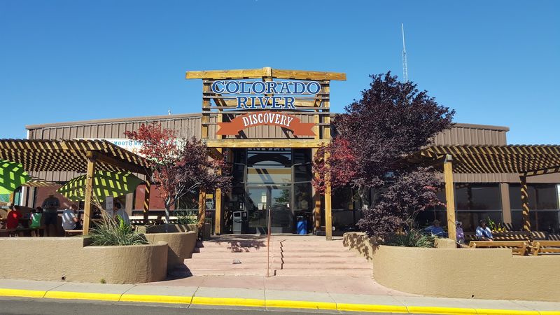
Fewer than eight thousand residents keep this mesa town running smoothly. Page works as a base camp for the Grand Circle of parks.
Zion, Bryce Canyon, Monument Valley, and the Grand Canyon all sit within reach. Day trips in several directions start from the same hotel room.
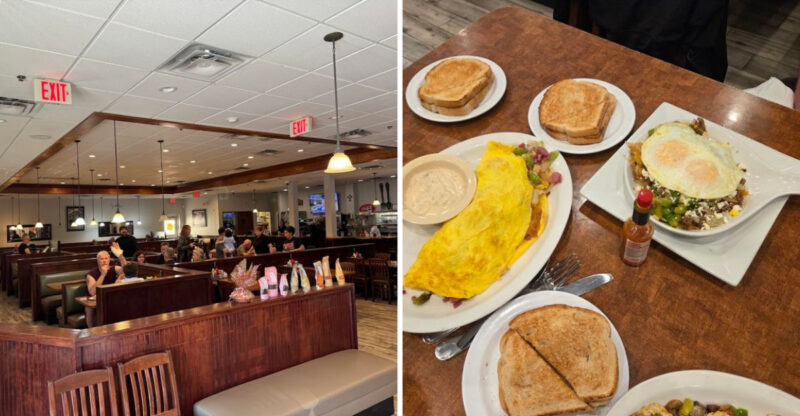
Restaurants cover more ground than the size suggests. You will find Southwestern plates, barbecue, Mexican food, and solid breakfast spots.
Coffee shops open early for sunrise chasers. Grabbing a breakfast burrito before a canyon tour is a local habit.
Lodging ranges from chain hotels to small motels and campgrounds. Book early for spring and summer, since rooms disappear fast.
The local arts scene is small but genuine. Murals, galleries, and craft booths appear more often than expected.
Grocery stores and gear shops handle last-minute needs. Stock up here before heading into remote country.
Spring and fall bring the most comfortable temperatures. Summer runs hot, and winter stays quiet and clear.
Night skies out here are genuinely dark. Step outside the streetlights and the stars do the rest.
People greet strangers on the sidewalk without hesitation. Small-town friendliness has survived the tourism boom.
Give the place three days instead of one afternoon. The beauty here rewards anyone who slows down.