The 45-Mile North Carolina Drive That Twists Past Waterfalls, Rock Walls, And Tiny Towns
Some drives are measured in miles, but this one is better measured in how often you pull over.
Across western North Carolina, the road keeps finding new ways to slow you down.
One bend opens toward rushing water, another climbs into the mountains, and the next suddenly drops you near a town that feels worth wandering.
That is the fun of this 45-mile route.
You can rush it, but you would miss the whole point.
Give the day room to breathe and let the stops happen when they happen.
By the time you reach Deep Creek near Bryson City, the drive may feel less like a route and more like a string of small discoveries stitched together by mountain roads.
Start With A Double Waterfall Hidden Just Off The Highway
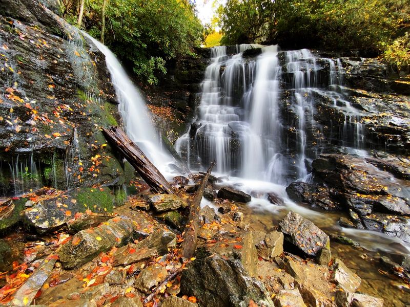
Roll down the window as you approach and you may hear water before you see anything at all.
Soco Falls sits right off US-19, close to the edge of the Cherokee Indian Reservation, which makes it one of the easiest big waterfalls in the mountains to reach.
Two separate streams, Soco Creek and Brush Creek, tumble side by side here and meet below in a shaded pool.
The taller cascade drops roughly 120 feet over dark, slick rock framed by rhododendron. You can find the falls along US-19, about 1.5 miles south of the Blue Ridge Parkway at Soco Gap.
Improvements completed in July 2025 added a larger parking area, picnic tables, benches, and upgraded access to Soco Falls.
An accessible viewing deck near the trailhead offers mountain views, while the trail continues downhill to the Soco Falls overlook.
Visitors should use the improved trail and viewing areas, since continuing closer to the falls on steep, muddy terrain is not recommended.
Morning light works best for photos, and after heavy rain the two cascades roar loud enough to drown out the highway behind you.
Climb Onto The Blue Ridge Parkway For The Drive’s Biggest Mountain Views
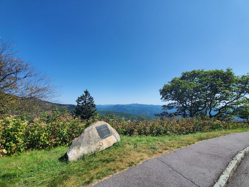
A few minutes north of the falls, the highway meets one of the most famous roads in the country.
The Blue Ridge Parkway runs 469 miles, linking Great Smoky Mountains National Park with Shenandoah National Park in Virginia, and this drive borrows a beautiful slice of it.
Soco Gap Overlook at Milepost 455.5 makes a convenient place to join this stretch of the Parkway.
For the sweeping stuff, pull off instead at Jonathan Creek Overlook at Milepost 456.2 or the Fed Cove spot at Milepost 455.1. Waterrock Knob at Milepost 451.2 has a visitor center at about 5,820 feet, with the summit rising to 6,273 feet.
Sunsets from that parking area turn the layered mountains into soft blue silhouettes, and a visitor center provides restrooms and information.
The roughly one-mile round-trip summit trail climbs about 460 feet to the 6,273-foot summit.
Bring a jacket even in July. Temperatures up top often run ten to fifteen degrees cooler than the valley floor, and wind moves fast across the exposed rock.
Take The Detour To One Of Cherokee’s Tallest Waterfalls
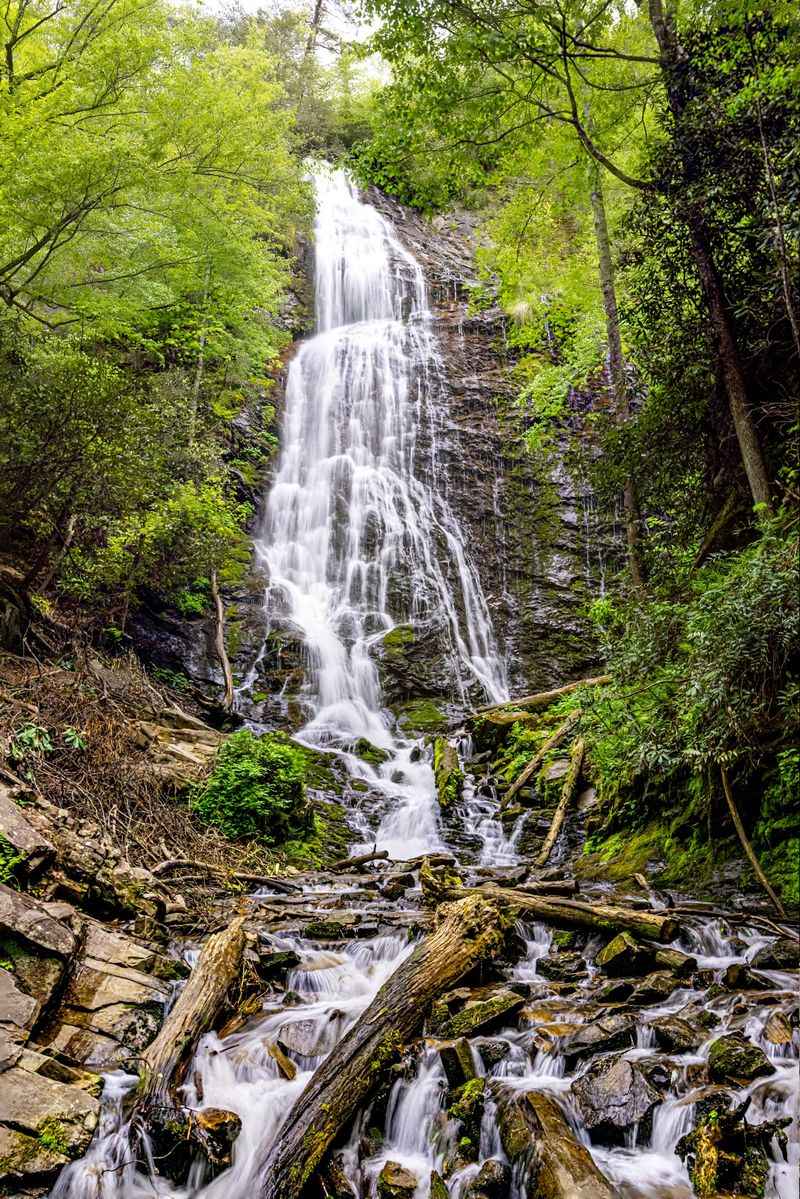
Count the stairs if you want, but most people lose track somewhere around eighty.
Mingo Falls asks for roughly 160 steps up a steep, shaded path, and the payoff arrives fast.
Ranked among the tallest waterfalls in the Southern Appalachians, Mingo drops about 120 feet down a broad, craggy rock face that spreads the water into white ribbons.
The falls sit within the Qualla Boundary, homeland of the Eastern Band of Cherokee Indians.
Reach the trailhead by following Big Cove Road roughly five miles from downtown Cherokee, just past the Mingo Falls Campground, Cherokee, NC 28719.
A wooden footbridge crosses the creek at the base and serves as the perfect viewing spot, close enough that mist settles on your arms during high water.
Spring rains and late-summer storms make the cascade thunder. In drier stretches it turns lacy and delicate, still worth every step.
The climb is short but real, so take it slow and use the handrails where they exist. Sturdy shoes beat sandals here, especially when the stone stairs stay damp under the hemlocks.
Slow Down In Cherokee Before Continuing Through The Mountains
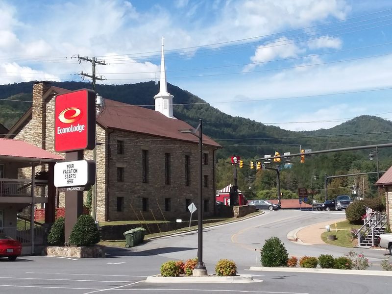
Thousands of years of history live in this valley, and the town invites you to spend real time with it rather than breeze through.
The Museum of the Cherokee People currently presents Cherokee history and culture through art, archival materials, collection objects, and updated interpretation while a larger gallery redesign is underway.
Nearby, Oconaluftee Indian Village operates as a living history site where artisans demonstrate basket weaving, mask carving, and pottery using traditional methods.
Summer evenings bring the outdoor drama Unto These Hills, told through music, dance, and powerful storytelling.
Walk the streets and you will spot the Cherokee Bears Project, brightly painted fiberglass bears scattered around town, each one designed by an artist and reflecting tribal culture.
Hunger usually hits about now. Granny’s Kitchen serves a cafeteria-style buffet of country cooking at 1098 Painttown Road in Cherokee.
Peter’s Pancakes and Waffles handles breakfast right beside the river, where syrup-soaked stacks arrive fast.
Paul’s Family Restaurant rounds things out with Indian Tacos built on warm, chewy fry bread, a local favorite worth ordering at least once.
Follow The Road Toward Bryson City As The Scenery Changes Again
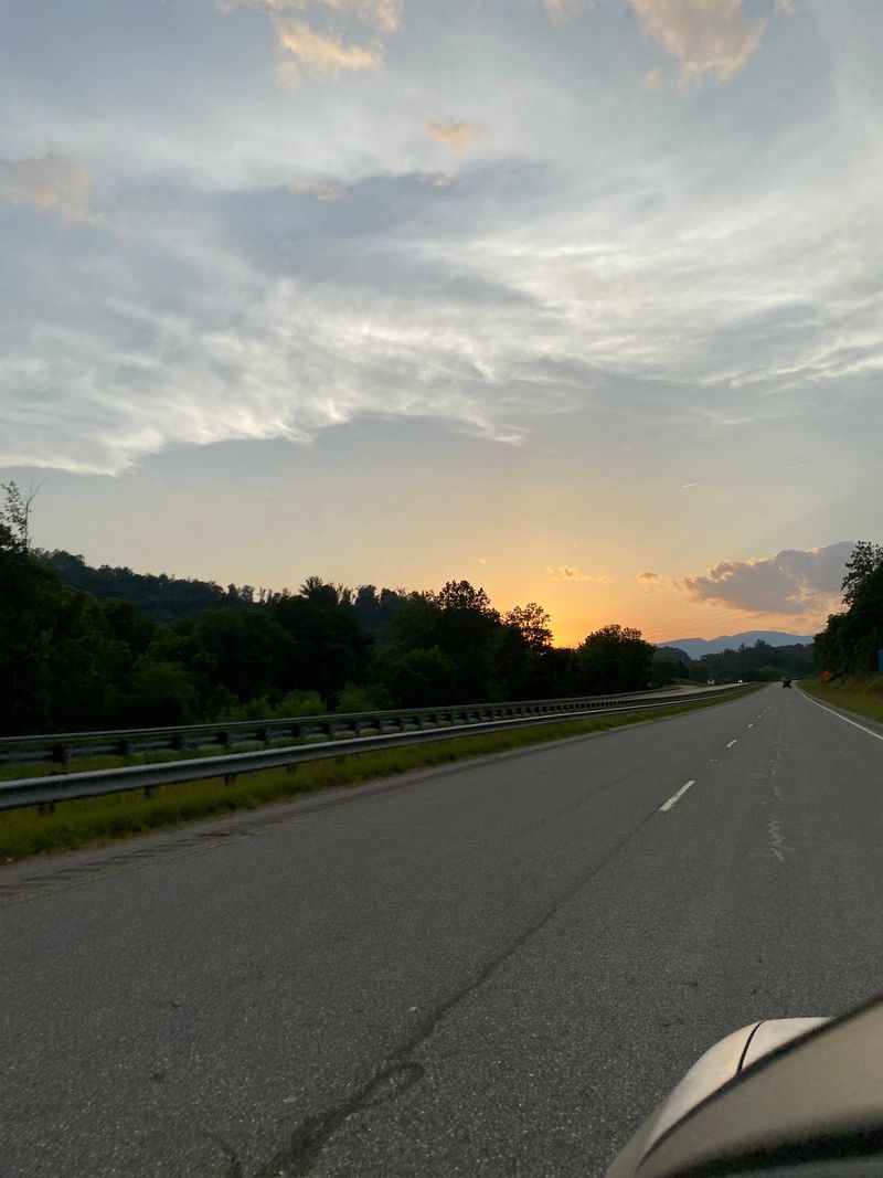
Only about 11 miles separate Cherokee from Bryson City, with a direct drive taking roughly 20 minutes under normal conditions.
US-19 carries the route from Cherokee toward Bryson City, passing the Kituwah area near the Tuckasegee River.
Water seeps down those gray faces after rain, and ferns grow straight out of the cracks.
Watch the landscape shift as you go. Roadside businesses thin out, woodland thickens, and the ridges begin to close in with a quieter, more remote feel.
Pull-offs appear at intervals and reward anyone willing to use them.
From several, the Tuckasegee River shows itself below, running fast and clear over pale stones as it works through the terrain.
The curves here are gentle rather than white-knuckle, which makes this one of the more relaxing legs of the whole route.
Roll the windows down and the air smells like damp leaves and river stone.
By the time the road drops toward Bryson City, the mountains of western North Carolina feel noticeably closer on every side.
Trade The Car For A Trail When You Reach Deep Creek
Shoes off, feet in the water. That is how a lot of Deep Creek days begin.
A few miles north of downtown Bryson City, this corner of Great Smoky Mountains National Park spreads out along a clear, cold stream that runs over smooth stones and fallen logs.
Trails fan out from the parking area in several directions, ranging from flat creekside strolls to longer climbs.
Tubing is a popular summer activity at Deep Creek, with rental businesses outside the park, although the National Park Service warns that swimming and tubing are not recommended because of water-related hazards.
Anglers come for trout, working the shaded runs with light rods early in the morning.
Mountain bikers use designated trails, and horseback riders share certain paths, so keep an eye out as you walk.
Picnic tables sit under tall trees near the creek, making lunch easy and pleasant.
The sound of moving water never really stops, which has a way of slowing everyone down.
Restrooms and a campground are nearby, and parking fills quickly on warm weekends, so arriving before ten helps enormously.
Reach Three Waterfalls Without Turning The Day Into A Brutal Hike
Three waterfalls, one loop, and roughly two and a half miles total.
That math is hard to beat. The Deep Creek Waterfall Loop runs about 2.4 to 2.5 miles roundtrip and rates easy to moderate, with the steepest stretch coming right at the start of the spur toward Juney Whank Falls.
Get that bit behind you and the rest feels friendly.
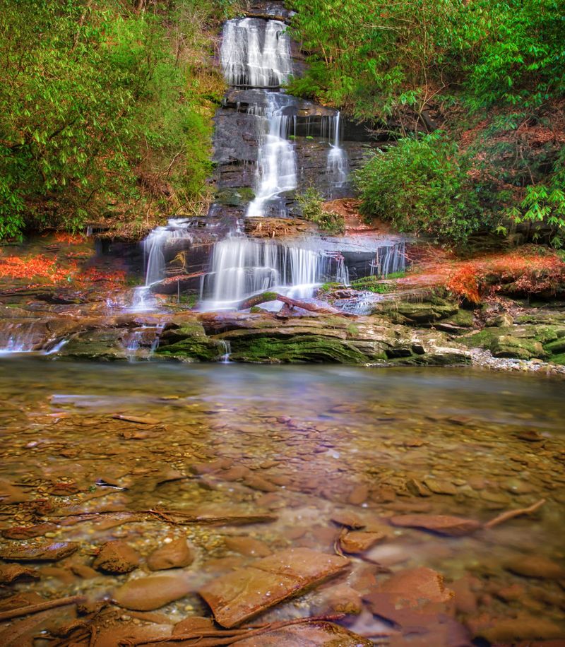
Tom Branch Falls comes first, an 80-foot cascade that slides down rocky shelves across the creek from the trail.
Benches sit nearby, positioned so you can rest and watch the water at the same time.
Indian Creek Falls follows, dropping 25 feet down sloping sandstone into a large plunge pool.
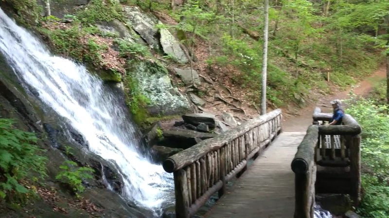
Juney Whank Falls finishes the set with an 80-foot cascade that flows beneath a wooden footbridge. The trailhead waits at the end of Deep Creek Road, past Deep Creek Campground in Bryson City.
Bring water, and expect the trail to stay cool and shaded even midday.
Plan Enough Time Because This Drive Begs For Constant Stops
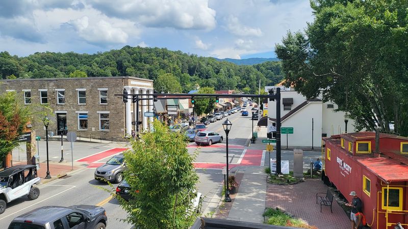
Forty-five miles sounds like an hour of driving.
Budget a full day instead, and you still may run out of daylight.
Between the twin cascades at the beginning and the three-waterfall loop at the end, this route stacks up more worthwhile stops per mile than almost any road trip in North Carolina.
Overlooks alone can eat an hour if the light is good. Cherokee deserves its own block of time.
A museum visit, a walk through the living history village, and a plate of fry bread can easily fill an afternoon before you ever reach Bryson City.
Deep Creek then asks for hiking shoes, a towel, or both, depending on the season and your mood.
Fill the tank before you leave Maggie Valley, pack snacks and water, and download maps ahead of time since cell service comes and goes in the gorges.
Autumn brings color and crowds together, while spring delivers the loudest waterfalls.
Whichever season you pick, drive it slowly.
The best parts of this road reveal themselves to people who are not in a hurry.