10 Washington Cycling Routes That Feel Like Your Private Escape
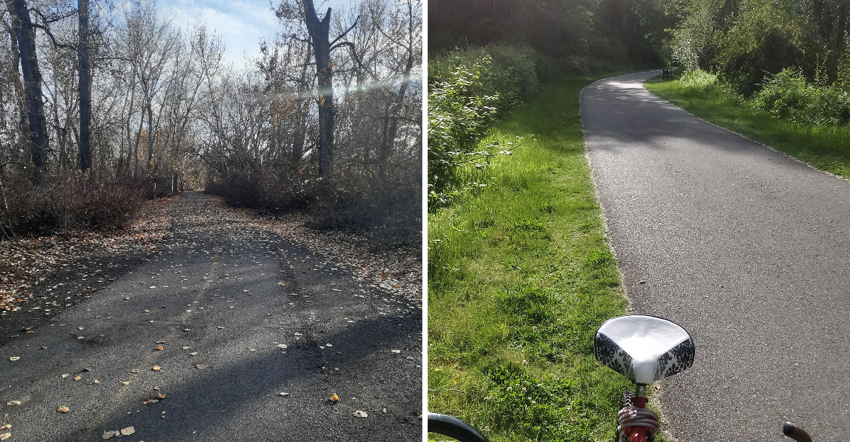
Picture the first ten minutes after traffic noise disappears. Your breathing settles.
The wheels find a rhythm. Suddenly the ride feels less like exercise and more like escape.
Washington has routes that create exactly that mood, with long stretches where scenery gets the final word.
Some are gentle enough for an easy afternoon. Others invite you to keep going because the next bend looks promising.
Speed is not what makes these rides satisfying. Space does. So does the quiet pleasure of getting somewhere under your own power.
The mileage matters less than how far away everyday life begins to feel.
1. Burke-Gilman Trail, Seattle
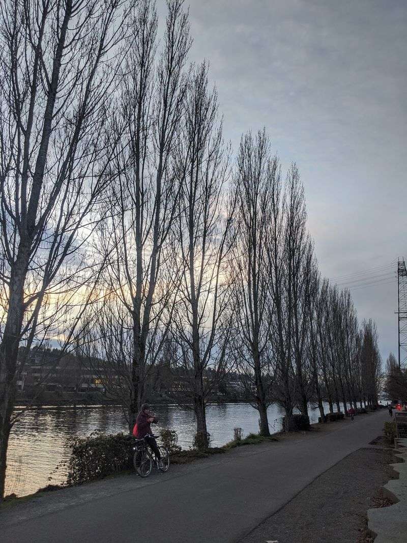
My jaw dropped the first time a big city felt this peaceful on a bike.
The Burke-Gilman runs about 20 miles from Golden Gardens toward its connection with the Sammamish River Trail near Blyth Park, although a 1.4-mile gap remains through Ballard.
The Burke-Gilman Trail follows an old railway corridor in Seattle. Trains of the Seattle, Lake Shore and Eastern Railway once rumbled here.
Today the surface is smooth asphalt and concrete. Some stretches add a soft dirt shoulder for runners who want easier footing.
Riders roll through Ballard, Fremont, and the University District. Each neighborhood brings its own murals, cafes, and curious detours.
Long stretches follow the Lake Washington Ship Canal and Lake Washington, with additional waterfront views near Gas Works Park on Lake Union.
Gas Works Park makes a fun rest stop with grassy hills. Magnuson Park sits farther along with beaches and open sky.
The path belongs to the Locks to Lakes Corridor. It also forms part of the Great American Rail-Trail crossing the country.
Commuters share the trail with walkers, runners, cyclists and skaters throughout the year.
Much of the paved trail is designed for broad non-motorized use, although riders should remember that the Ballard Missing Link still requires an on-street connection. Bring a light if you plan to linger past sunset.
Find a handy access point at 2101 N Northlake Way in Seattle. Few city rides serve up this much shoreline so easily.
2. Interurban Trail, Bellingham
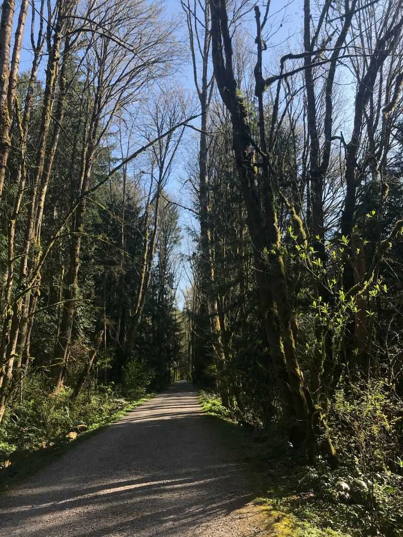
Just imagine for a second saltwater views appearing between mossy trees. Electric trains once hummed along this same corridor until 1928.
The full Fairhaven-to-Larrabee route is about 6.6 miles one way, while Whatcom County manages a 5.9-mile section south of the North Chuckanut Mountain Trailhead.
Surfaces change as you ride, which keeps things interesting. Expect asphalt, crushed stone, and packed dirt in different sections.
Forests, wetlands, and open fields take turns along the corridor. Small waterfalls appear after rain and add a soundtrack.
Bellingham Bay shines through gaps in the evergreens. On clear days the San Juan Islands sit on the horizon.
Portions parallel the Chuckanut corridor while remaining on a separate multi-use trail, with occasional views toward Bellingham Bay, Chuckanut Bay and the San Juan Islands.
Wildlife sightings are possible along the wooded corridor, but they vary from ride to ride. Hikers and runners share the path, so a bell helps.
Wider tires handle the gravel sections far better than skinny ones. Fairhaven Park makes a convenient starting point with parking.
Begin your journey at 1016 Chuckanut Dr N, Bellingham. Pack a snack, because those bay overlooks beg for a long pause.
3. Olympic Discovery Trail, Port Angeles
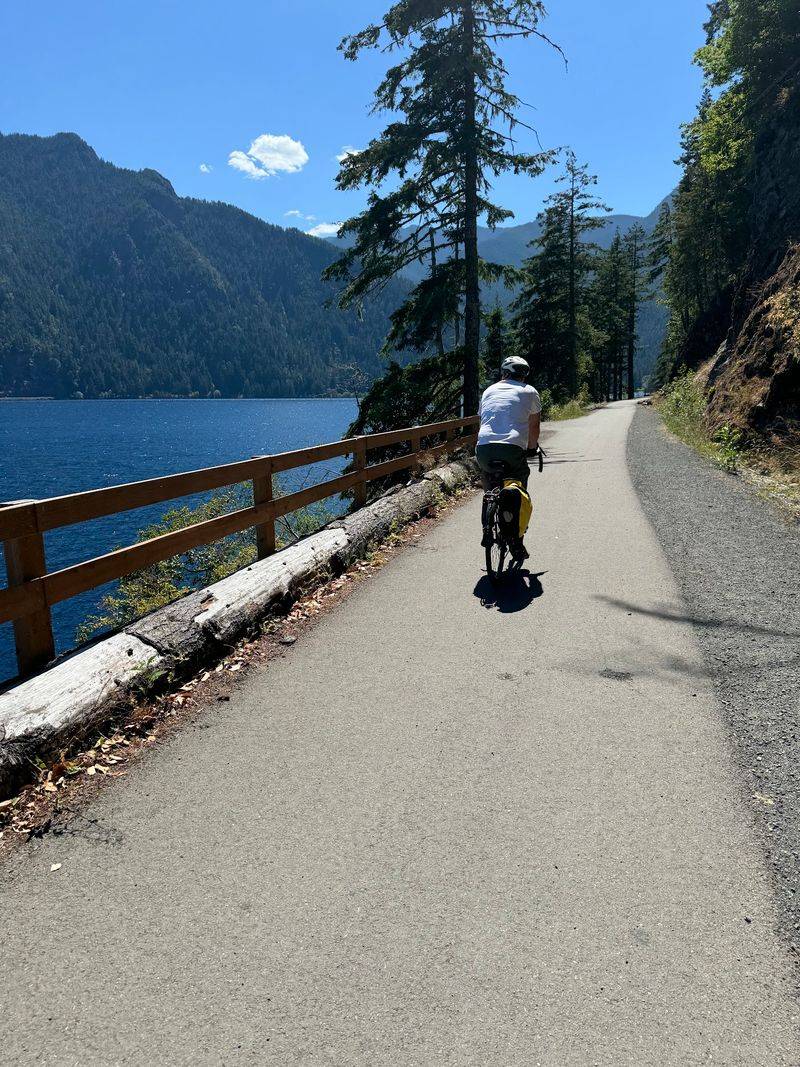
The Olympic Discovery Trail follows a 135-mile route from Port Townsend to La Push, with more than half currently on designated non-motorized paths and the remaining gaps using roads or other interim connections.
Port Angeles and Sequim sit along the completed middle section. That stretch works well for a full day of pedaling.
Surfaces vary between rail-trail pavement and rural corridors. Some links use quiet side roads and highway shoulders.
Olympic Mountain peaks rise behind you as you ride west. The Elwha River Valley opens up with dramatic views.
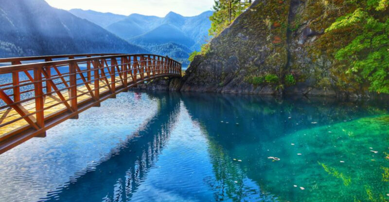
Lake Crescent’s northern shore delivers deep blue water and steep forest. The path also hugs the Strait of Juan de Fuca.
Historic Railroad Bridge Park makes a memorable crossing near Sequim. The trail crosses the Elwha River on a distinctive double-decker bridge, offering direct views of a river transformed by one of the largest dam-removal projects in U.S. history.
Sol Duc Hot Springs can be added as a separate Olympic National Park side trip after riding the western trail sections. Camping options let riders stretch the trip across several days.
The corridor is part of the Great American Rail-Trail network. Check section conditions before you go, since work continues.
In Port Angeles, a convenient ODT access point is the waterfront at the foot of Lincoln Street near City Pier.
4. Apple Capital Recreation Loop Trail, Wenatchee
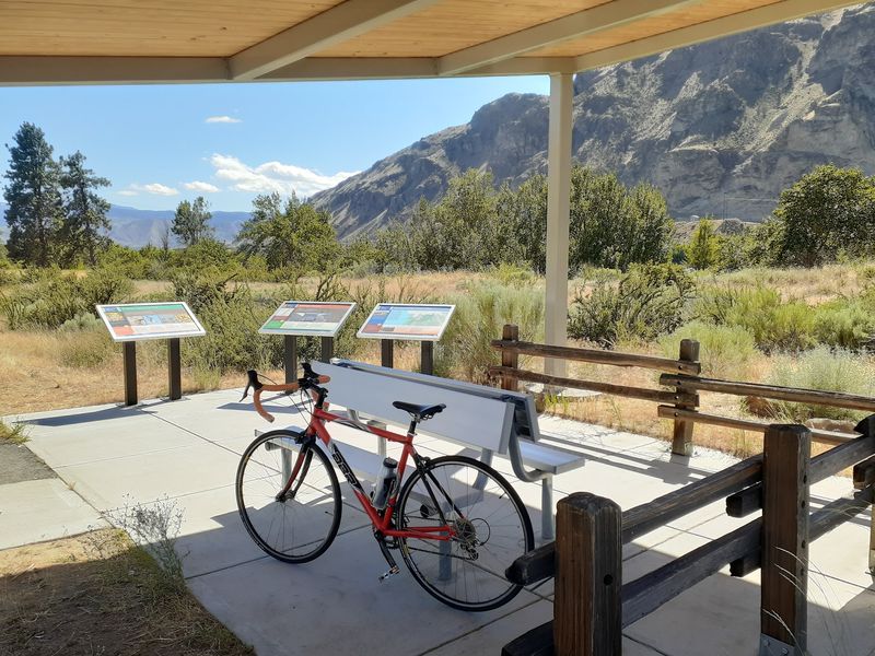
There’s a loop that never makes you backtrack? Both banks of the Columbia River carry pavement here.
The Apple Capital Recreation Loop Trail is a 10-mile paved loop along both banks of the Columbia River.
Wenatchee and East Wenatchee sit on opposite ends of the loop. The loop uses a three-bridge connection system, including two Columbia River crossings and a crossing of the Wenatchee River.
Everything is paved with asphalt and concrete, so rolling is smooth. Road bikes, cruisers, and skates all work fine.
Orchards and dry hills frame the waterfront in every direction. Sunlight on the river makes morning rides especially pretty.
Riverfront Park has playgrounds and shade for family stops. Walla Walla Point Park adds courts and a swim area.
Birdwatchers head straight for the Horan Natural Area. Herons, ducks, and songbirds gather in the wetland channels.
The historic Columbia River Bridge carries riders across in style. The Richard Odabashian Bridge completes the northern crossing.
Interpretive signs explain local history and orchard heritage along the way. The paved loop is approachable for many recreational riders, with multiple parks, restrooms and access points along the route.
Riding works year-round, though summer afternoons get seriously warm. Carry extra water and a hat for that desert sunshine.
Start rolling at 1351 Walla Walla Ave in Wenatchee. Few loops pack this much river into so few miles.
5. Spokane River Centennial Trail, Spokane
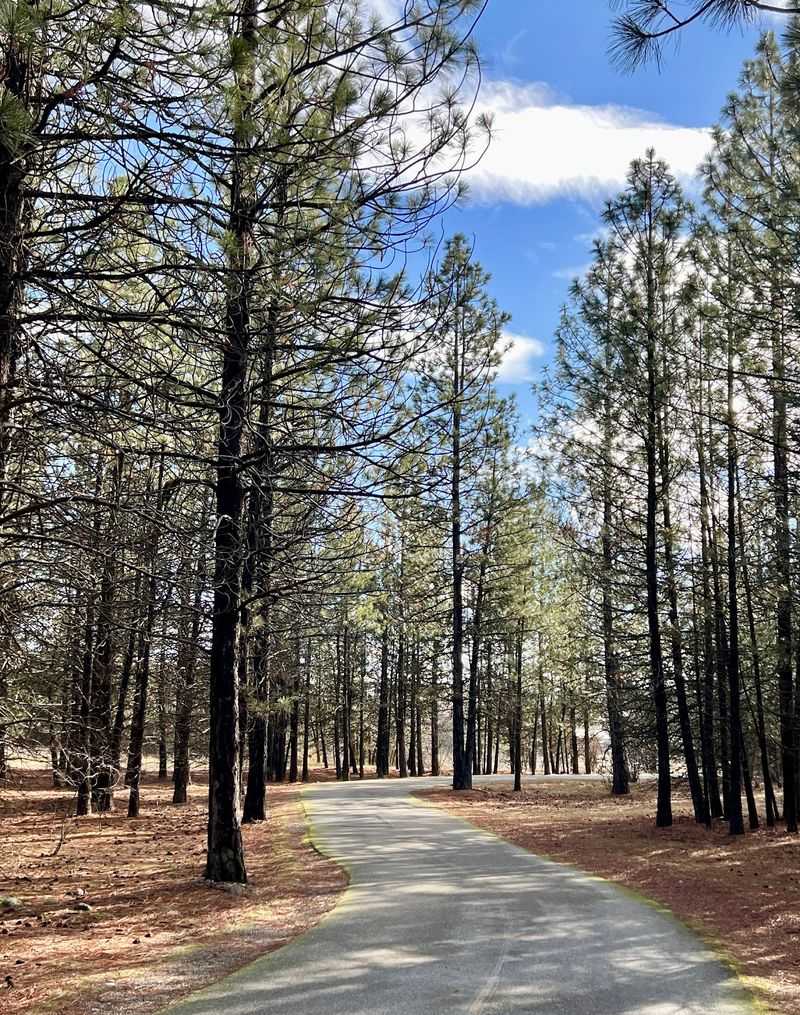
I am still trying to wrap my head around nearly 40 miles of pavement. Basalt cliffs, waterfalls, and pine forest line the route.
The 40-mile trail normally connects the Idaho state line with Nine Mile Recreation Area, but a wildfire-related closure currently interrupts the western section.
Spokane and Spokane Valley both sit directly on the corridor. Riders can hop on downtown and head either direction.
Pavement covers the full distance, and many stretches avoid traffic entirely. That separation makes it welcoming for newer cyclists.
Ancient lava flows and glacial flood landscapes shaped these canyons. Geology lovers get a free lesson with every mile.
Nine parks and recreation areas connect along the way. Riverfront Park, a legacy of Expo ’74, anchors the middle.
Historic and cultural sites are interpreted along portions of the 40-mile corridor as it passes through Spokane and Riverside State Park.
Bald eagles perch above the water during colder months. River otters sometimes slide along the banks near quiet bends.
The trail was conceived for Washington’s 1989 centennial and opened in phases around that period, with additional sections completed afterward.
Winter riding is possible, though icy patches call for caution. Spring runoff turns the river into a roaring show.
Choose one of more than 20 established trailheads, including Riverfront Park, Mirabeau Point Park and the State Line trailhead.
6. Foothills Trail, Puyallup
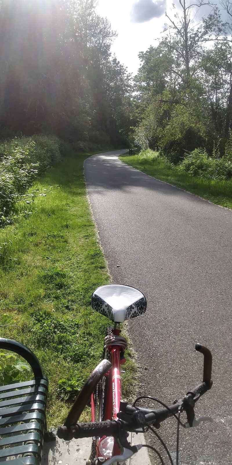
This one has the best mountain payoff. Mount Rainier appears again and again as you pedal east.
The Foothills Trail now provides about 22 miles of paved trail from Puyallup through Orting and Buckley to Enumclaw. The Foothills Regional Trail was designated a National Recreation Trail in 2012.
Asphalt covers most of the route at a generous 12 feet wide. The developed Foothills Trail is a 12-foot-wide paved asphalt route with a separate soft shoulder for equestrian use.
A soft shoulder path runs alongside for horseback riders. Sharing space here is part of the local culture.
Farmland, thick forest, and river valleys rotate past your handlebars. Upstream sections follow the milky Carbon River closely.
Trailheads were built to resemble small train stations. That quaint touch nods to the old railway days.
An active railway runs parallel along part of the corridor. Four track crossings require slowing down and looking twice.
Orting makes a natural halfway break with coffee and pastries. Cyclists, walkers, and skaters fill the path on sunny weekends.
Clear weather can reveal excellent Mount Rainier views, especially on the Orting-to-Carbon River stretch.
The trailhead waits at 13810 80th St E, Puyallup. Bring a camera battery with plenty of charge remaining.
7. Centennial Trail, Snohomish
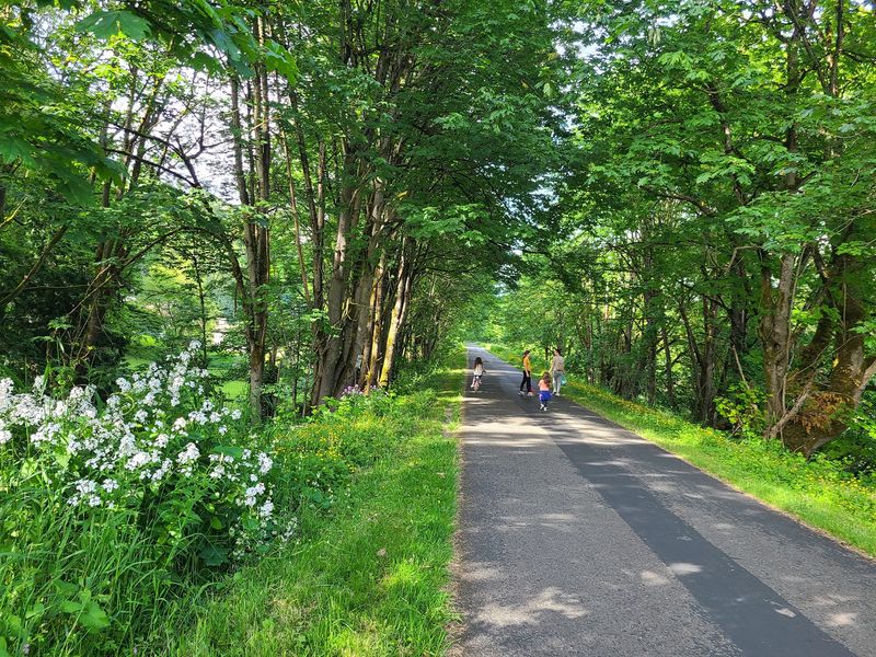
Call me charmed, but this corridor reads like a storybook chapter. Farm fields, creeks, and old barns roll past your wheels.
The Snohomish County Centennial Trail covers 30 miles. It travels from Snohomish north to the Skagit County line.
Lake Stevens and Arlington provide established access points and town connections along the route.
Pavement measures 10 feet wide for comfortable side-by-side riding. A 6-foot natural surface path runs beside it.
Equestrians use that parallel soft path regularly. Slowing down near horses is simple trail courtesy.
The corridor follows an old Burlington-Northern railroad line. Development began in 1989 for the state centennial.
Interpretive panels at seven trailhead sites explore transportation, Indigenous, agricultural and railroad history along the corridor. Reading a few adds depth to the ride.
Rural farmland gives way to riverbeds, forest, and lakeside views. Cascade peaks appear in the gaps on clear days.
Bridges cross creeks flowing down from those same mountains. Wildlife viewing is part of the trail experience, although sightings vary by location and season.
Seasonal conditions change throughout the year, so check weather and trail conditions before planning a long ride.
The 30-mile paved trail is accessible to a broad range of non-motorized users and has a parallel equestrian path.
Roll out from 51 Maple Ave, Snohomish. Quiet miles like these are worth setting the alarm early.
8. Chehalis Western Trail, Olympia
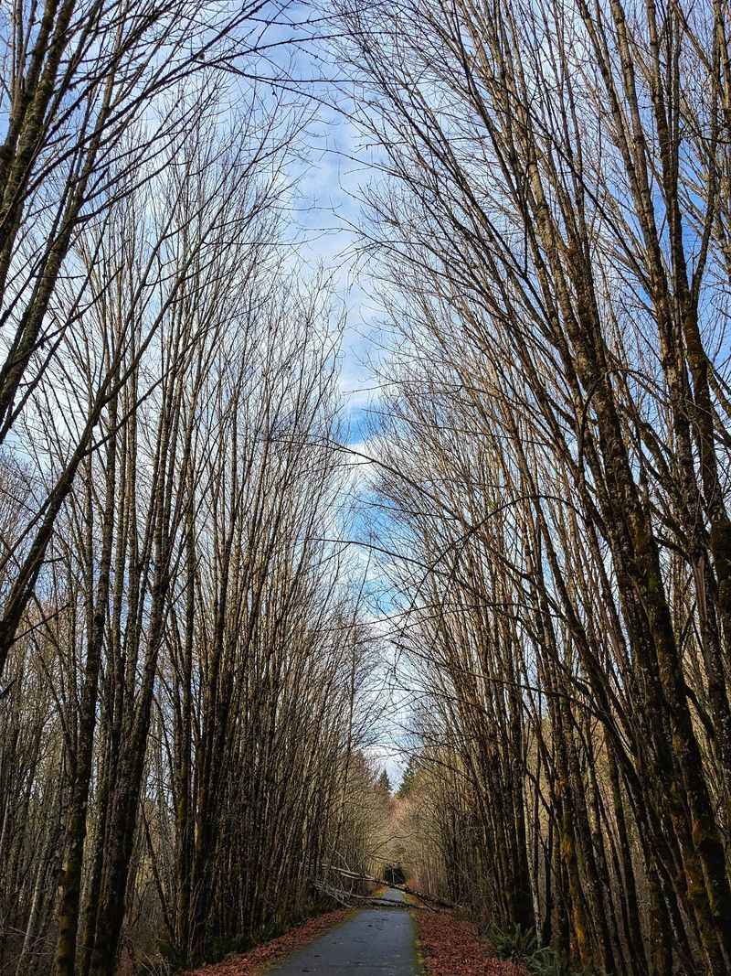
I had to do a double-take reading the history behind this corridor. Logging trains hauled timber here from 1926 into the mid-1980s.
The Chehalis Western Trail stretches roughly 22 paved miles through Thurston County. It links Puget Sound at Woodard Bay with Vail.
Olympia sits right in the middle of the north-south route. Access points make short out-and-back rides easy.
Weyerhaeuser once owned the railroad grade beneath the pavement. The trail opened for public use in 1998.
A Bridging the Gap project wrapped up in 2014. New bridges, including one over I-5, removed awkward detours.
The grade stays mostly flat, which suits long steady pedaling. Wetlands, forests, prairies, and farmland take turns alongside.
The path parallels the Deschutes River for a stretch. Chambers Lake adds another water view worth a pause.
Monarch Sculpture Park makes an unusual trailside stop, with more than 100 contemporary sculptures spread across its grounds.
Woodard Bay supports harbor seals and a major maternity colony of little brown and Yuma myotis bats; visitors must stay at least 50 feet from the bat pier.
A connection to the Yelm-Tenino Trail extends your options considerably. The Chehalis Western Trail is currently open daily from 9 AM to dusk.
The trailhead sits at 9605 Tilley Rd SW, Olympia. Few rides mix prairie, saltwater, and sculpture quite so smoothly.
9. Yakima Greenway, Yakima
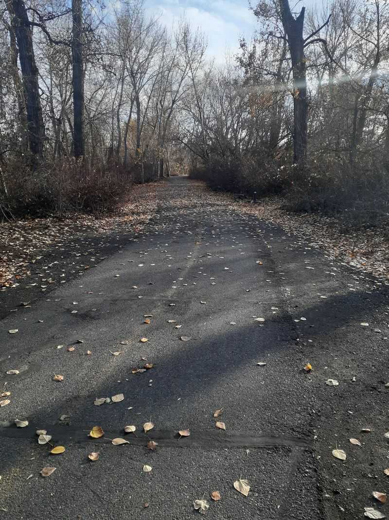
I almost couldn’t believe how good the riding is here. Sunshine, cottonwoods, and a wide river set the scene.
The current Yakima Greenway network spans about 20 miles of connected bike and pedestrian pathway between Union Gap, Yakima, Selah and Naches.
Union Gap, Yakima, Selah, and Naches all connect through the system. Short spurs branch toward parks and lakes.
The original Yakima Greenway Path was certified as a National Recreation Trail in 1992 and publicly described as receiving the designation in 1993.
The route follows the Yakima River closely for most miles. Fishing lakes and protected natural areas sit just off the path.
The Yakima Area Arboretum makes a shady, flower-filled detour. Playgrounds and picnic tables appear at regular intervals.
Wildlife viewing platforms let you scan the water quietly. The Yakima and Naches river corridors support extensive wildlife and birdwatching opportunities.
Much of the Greenway uses accessible paved pathway, and the original National Recreation Trail includes wheelchair-accessible fishing facilities at Rotary Lake.
Individual Greenway parks and facilities can have their own hours, so check the current rules for the section you plan to use.
Summer heat arrives early in the valley, so ride before ten. Shade appears in patches rather than long stretches.
Begin your pedaling at 111 S 18th St, Yakima. Sunny miles beside the river make an ordinary day feel special.
10. Sammamish River Trail, Redmond
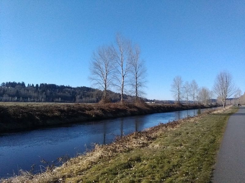
Tall poplars turn this corridor into a green tunnel. The river runs quietly beside you the entire way.
The Sammamish River Trail runs 10.1 paved miles from Bothell to Marymoor Park in Redmond. It links Bothell, Kenmore, and Woodinville with Redmond.
Asphalt stays well maintained and almost completely flat. A separate soft-surface equestrian path parallels the trail from Woodinville to Marymoor Park.
The former railroad corridor was converted into a regional trail during the mid-to-late 1970s. Recreation replaced freight, and locals never looked back.
The path belongs to the Locks to Lakes Corridor. It also meets the Burke-Gilman Trail on the western end.
The Marymoor Connector links the Sammamish River Trail to the East Lake Sammamish Trail, although a 600-foot section of the East Lake Sammamish Trail is closed through the end of 2026 with no detour.
Broad valley views open up between the poplar rows. Cascade foothills sit on the horizon, with Mt. Rainier on clear days.
Woodinville’s wine country fields line part of the route. Farm stands and cafes tempt riders to stop early.
The Sammamish watershed supports salmon migration and abundant birdlife, adding wildlife interest along the river corridor.
Shade is limited in the middle miles, so sunscreen helps. The trail is heavily used by both recreational riders and commuters, so crowd levels vary by time and location.
Find the trail near 6046 W Lake Sammamish Pkwy NE, Redmond. Smooth, flat, and scenic makes for a very happy ride.