10 Rhode Island Trails To Explore With Snake Awareness This September
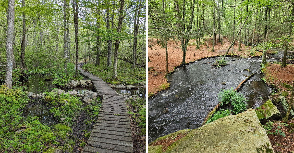
September can make every movement beside the trail feel suspicious.
A dry leaf shifts. Something slips between rocks. Suddenly, everyone is watching their feet.
No venomous snakes currently occur in Rhode Island, although timber rattlesnakes were historically native to the state.
Hikers may still encounter nonvenomous snakes in suitable habitat during warmer early-fall weather. The best response is simple: give them space and keep moving.
There is no reason to surrender an excellent hiking month to nerves. Stay alert, respect wildlife, and enjoy the season.
The woods are changing too quickly to spend the whole walk staring at your boots.
1. Snake Den State Park Trails, Johnston
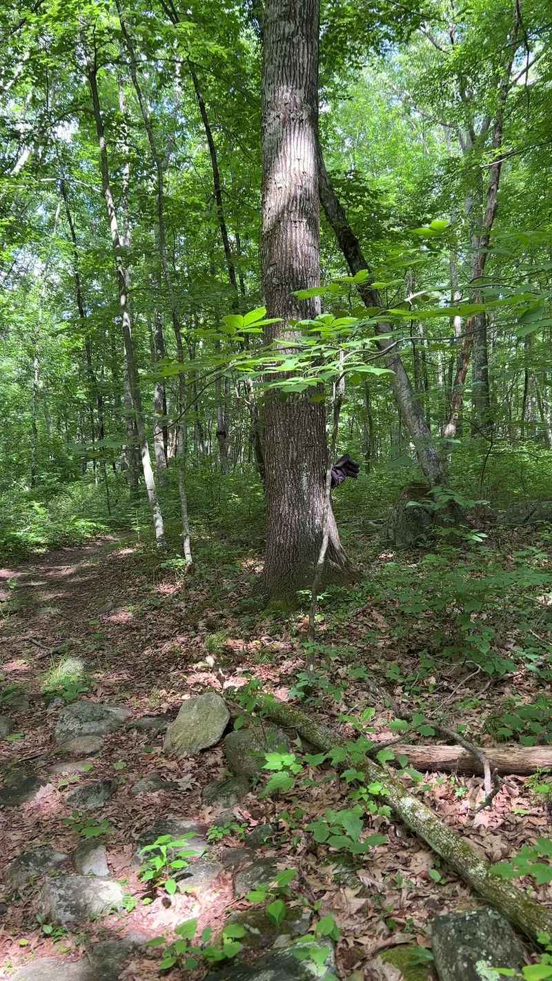
Rhode Island has no venomous snake populations, but any wild snake encountered here should still be left undisturbed.
Snake Den State Park in Johnston covers roughly a thousand undeveloped acres of forested hills. Ancient stone walls cut through the woods, hinting at the area’s farming past.
Self-guided walking paths range from flat strolls to moderate climbs. Some wander through thick woodland, others open into sunlit fields and pond views.
Rocky fissures, quarry features, and scenic overlooks add more rugged terrain to parts of the property. Birdwatchers show up early and rarely leave disappointed.
September starts the color change, and by late month the canopy glows. Much of the property remains undeveloped beyond its trails, farm, and scenic areas.
A few trails go unmarked and turn muddy after rain, so decent boots matter. Ticks hide in grassy edges, so long socks earn their keep.
Dame Farm sits within the property as a working agricultural operation. Seeing tractors near hiking paths adds an unexpected cultural layer.
A snake sighting is possible anywhere suitable habitat occurs, but visitors should avoid approaching or disturbing any reptile they encounter. Give them room and they give you a story.
You will find the trailhead at 2321 Hartford Avenue in Johnston. Pack water, because shade disappears in the open fields.
2. Lincoln Woods State Park Trails, Lincoln
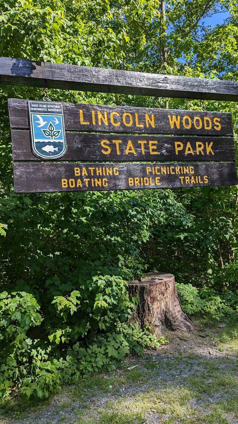
Large boulders and rocky terrain are among the distinctive features of Lincoln Woods. Glaciers dropped them there thousands of years ago and never came back.
Lincoln Woods State Park spreads across 627 acres in Lincoln, just northwest of Pawtucket. The park was assembled from former farmland and woodlots beginning in the early twentieth century.
The 627-acre park remains open for year-round recreation, including hiking, fishing, boating, horseback riding, and seasonal swimming.
Trail options run from half-mile loops to routes stretching about 4.5 miles. Bridle and hiking trails run throughout the park, along with a popular circumferential road around Olney Pond.
Those rocks create both natural obstacles and surprise viewpoints. Climbers practice on them while hikers squeeze through the gaps below.
Jogging and horseback riding are current activities, although western Zone A horse trails are reserved for equestrian use while eastern Zone B trails are multi-use.
Autumn foliage against gray stone creates a contrast photographers chase every October. Parking and recreation facilities are available from the Manchester Print Works Road entrance.
The entrance sits at 2 Manchester Print Works Road in Lincoln. Bring a map, since the boulder maze scrambles your sense of direction.
3. Pulaski State Park Trails, Chepachet
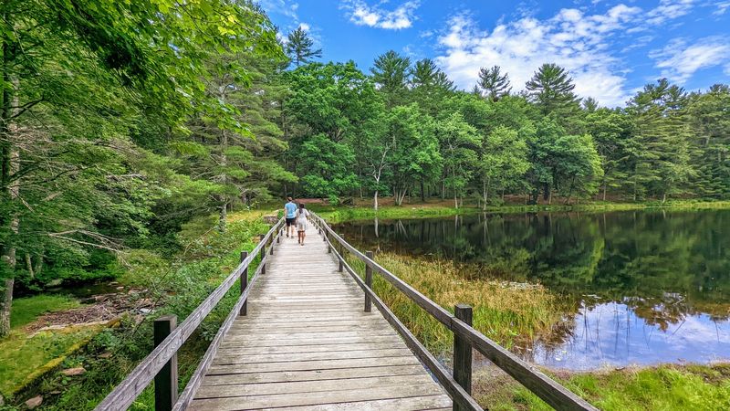
Just imagine for a second a park that reinvents itself four times a year. That is exactly the deal at this hundred-acre pocket of northwestern Rhode Island.
Casimir Pulaski Memorial State Park in Chepachet sits inside the sprawling 4,000-acre George Washington Management Area.
Peck Pond covers 13 acres and offers seasonal swimming, with lifeguard coverage provided when staffing allows.
Spring anglers arrive for first-class trout fishing before the crowds. By September the water quiets down and the woods take over.
Nearby George Washington Management Area contains the Walkabout Trail, whose three principal loops were created by Australian sailors in 1965.
Footing turns rocky in stretches, so ankle support helps. Scenery shifts between hardwood stands, pine groves, and boggy low spots.
One important note: Fluorescent orange requirements apply during hunting season; in 2026, most users of state management areas must wear at least 200 square inches from September 12 through February 28.
Picnic tables and comfort stations make family outings simple. Leashed dogs roam the park freely, though not the summer beach.
Winter converts ten miles of trail into groomed cross-country skiing. The address is 151 Pulaski Road in Chepachet, worth saving for later.
4. Vin Gormley Trail At Burlingame State Park, Charlestown
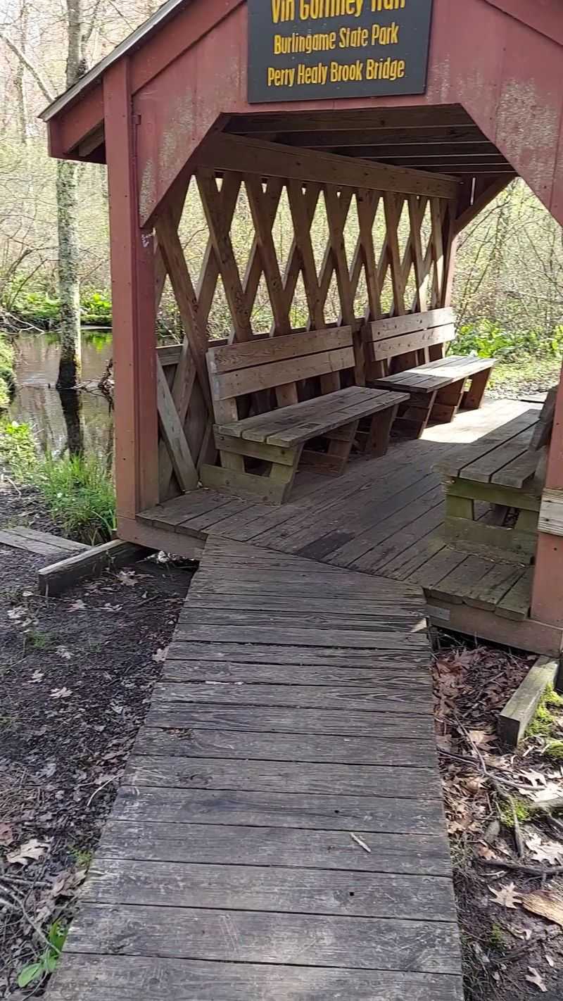
A path named after its longtime caretaker sets high expectations. This loop clears the bar with room to spare.
The Vin Gormley Trail at Burlingame State Park in Charlestown runs roughly 7.65 to 8 miles around Watchaug Pond. That kettle pond covers 573 acres and shapes the entire route.
John Vinnie Gormley poured years into maintaining the pathway, and the name honors that work. Yellow blazes keep you oriented the whole way.
Historic stonewalls appear without warning, along with a charming covered bridge. Pausing there to listen to the brook is the highlight for many.
The trail slips into the Audubon Society’s Kimball Wildlife Refuge, boosting your odds of good wildlife sightings. Warblers move through during early fall migration.
Some portions follow roadways, and other sections cross Burlingame Management Area, where hunting-season safety rules apply.
Camping happens within the greater park but not along the trail itself. Plan four to five hours for the full circuit.
Burlingame Management Area wraps 3,100 acres around it all. Access is available from the Burlingame picnic area on Sanctuary Road in Charlestown.
5. Arcadia Management Area Trails, Hope Valley
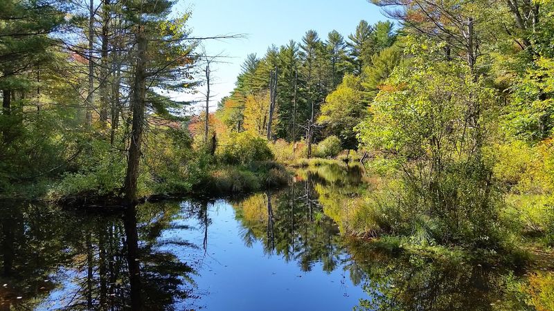
Arcadia is Rhode Island’s largest state management area, covering more than 14,000 mostly wooded acres across four towns.
Hiking, fishing, mountain biking, boating, horseback riding, hunting, and trapping are among the area’s established uses.
Trails thread past quiet ponds and along streams and rivers. Terrain swings between mature hardwoods and fragrant pine groves.
Birdwatching pays off here, particularly along water edges at dawn. Deer tracks show up in soft sand near crossings.
Fishing draws steady traffic to the ponds and brooks. Its size provides an extensive network of forest roads, trails, waterways, and recreation areas.
September means snakes hunt actively before cooling weather arrives. Ribbon snakes near streambanks are a common, harmless sighting.
Routes suit nearly every ability, from short flat walks to long ambitious days. The large management area contains an extensive network of routes, so carrying an official map is sensible for longer outings.
Sheer size is the appeal, since each trip uncovers junctions you missed last time. Carrying a paper map beats trusting a phone signal.
Fall color arrives gradually, starting with maples in the wet hollows. Bring more water than you think you need.
Arcadia Management Area headquarters is at 260 Arcadia Road in Hope Valley, while trail access is spread across the much larger management area.
From September 12, 2026 through February 28, 2027, recreational users of state management areas must wear the required fluorescent orange.
6. Sachuest Point National Wildlife Refuge Trails, Middletown
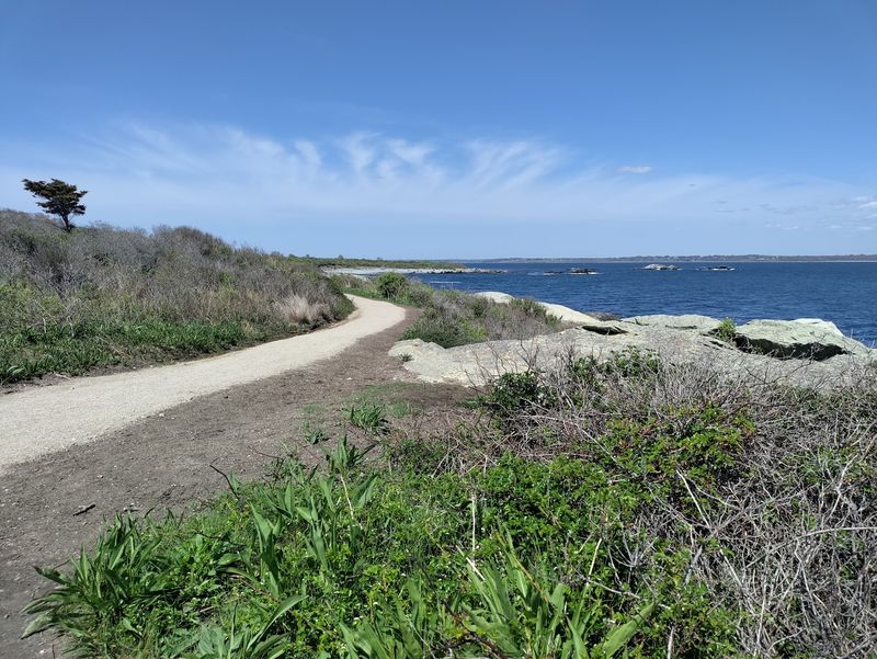
Wind, salt, and endless blue do the talking here.
Sachuest Point National Wildlife Refuge occupies 242 federal acres on Aquidneck Island in Middletown. Views stretch across Sachuest Bay into the open Atlantic.
Trees stay sparse, leaving paths fully exposed to sun and breeze. Sunscreen and a hat matter more than bug spray.
Over 200 bird species pass through seasonally, making September migration especially rewarding. Observation platforms provide wildlife views, while binoculars and scopes are sometimes available during organized refuge programs.
Winter brings the Atlantic coast’s second-largest harlequin duck population. Loons, eiders, and gannets work the rocky shoreline too.
Nearly three miles of walking trails cross coastal shrubland, salt marsh, and beach strand. The Flint Point Loop and Island Rocks platform are universally accessible; the current refuge page lists the loop at 1.1 miles.
Staying on designated trails protects both visitors and the refuge’s sensitive coastal wildlife.
Saltwater fishing has a devoted following along the rocks. Poison ivy grows thick in brushy corners, so watch your footing.
The Visitor Center is currently open daily from 10 a.m. to 3 p.m. Displays explain the refuge habitats simply.
Head to 769 Sachuest Point Road in Middletown for the parking area. Sunrise light on the water is unbeatable.
7. Rome Point Trail At John H. Chafee Nature Preserve, North Kingstown
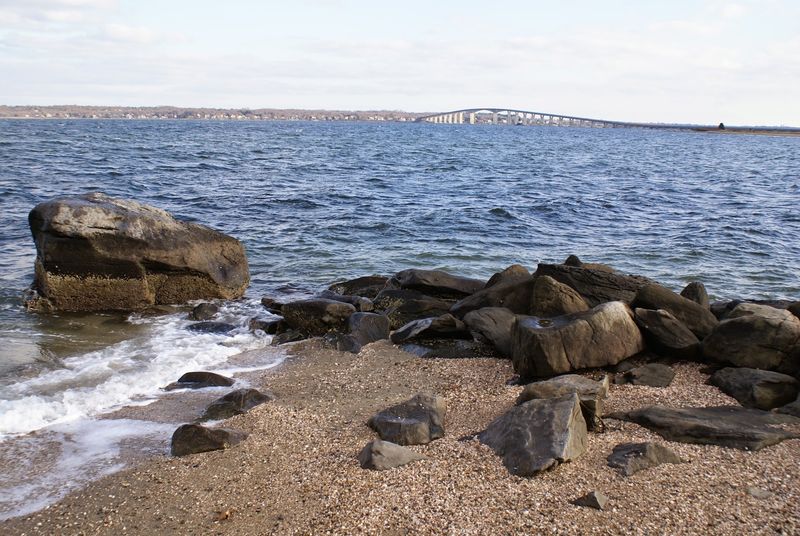
There is a shoreline walk where seals lounge on rocks within binocular range. Rhode Island keeps that secret surprisingly well.
Rome Point Trail, officially the John H. Chafee Nature Preserve, sits on 230 undeveloped acres in North Kingstown. Coastal woodland, salt marsh, and open beachfront all appear in one short outing.
Narragansett Bay opens wide at the end, with the Jamestown and Newport Bridges framing the horizon. Sunset here draws quiet applause.
Harbor seals begin returning to Narragansett Bay in fall, with Rome Point viewing strongest from late fall through spring.
Footing stays easy and mostly flat, which suits families and casual walkers. Roots appear in the wooded stretches, so watch your step.
Narragansett Electric donated the land to the state in 2001, protecting it permanently. Senator John H. Chafee, an open space champion, lent his name.
Woodland trails lead from Boston Neck Road toward the preserve’s undeveloped Narragansett Bay shoreline.
September snakes favor the sunny sand and warm rocks near the beach. All of them are harmless, so keep strolling.
Leashed dogs are welcome during state-park hikes at Rome Point, but they should be kept controlled and away from resting seals. Parking is at 1344 Boston Neck Road, but spaces are limited at this popular preserve.
8. Mowry Conservation Area Trails, Smithfield
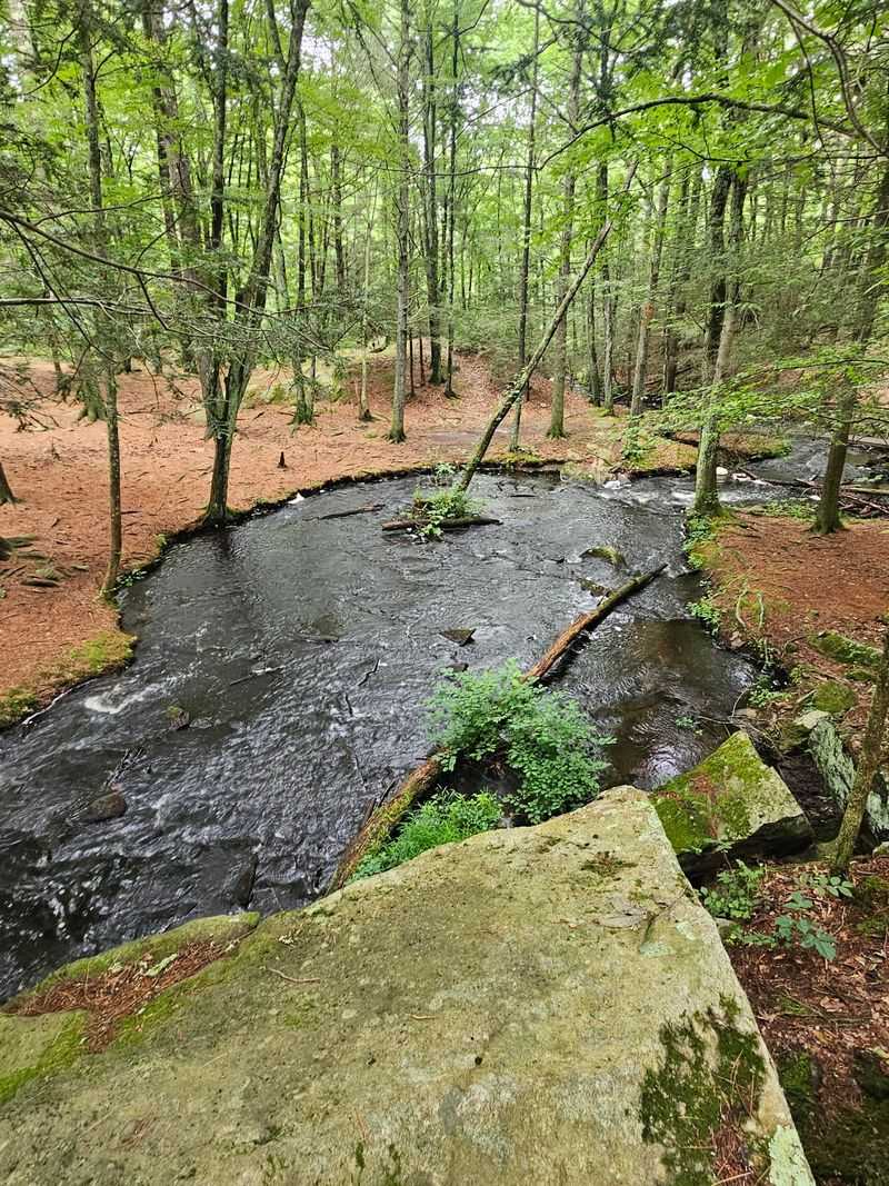
Correct me if I am wrong, but a trail entrance should not look enchanted. This one absolutely does.
Mowry Conservation Area is a 44-acre town-owned retreat in Smithfield. A magnificent rock ledge overhangs a rushing stream right at the start, leading to a photogenic footbridge.
An orange-blazed short loop connects with a longer yellow-blazed path, and together the trails total about one mile.
The short lower loop is gentle, while the longer yellow route climbs a steep ridge before returning through hardwoods and pines.
The stream belongs to the Woonasquatucket watershed and gets stocked with trout. Anglers drift in quietly on weekday mornings.
History lingers in stonework left from an 18th-century forge and sawmill. Old Forge Road took its name from that industry.
Water still tumbles over a remnant dam, forming a miniature waterfall that charms everyone who stops. The sound carries through the whole area.
Squirrels, chipmunks, songbirds, and occasional otters make appearances. Rock ledges provide one of the area’s striking landscape features, but snake sightings are not identified by the town as a regular September attraction.
Autumn turns the ferns golden beneath tall pines, which is reason enough for a return trip. Winter reveals the stone ruins more clearly.
Access is from Old Forge Road between Farnum Pike and Log Road, where visitors park near the signed entrance.
9. Big River Management Area Trails, West Greenwich
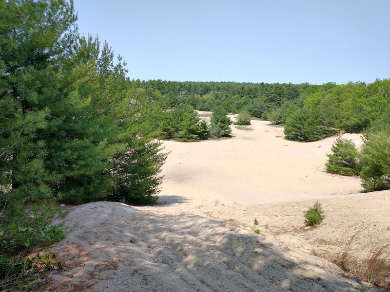
I had to do a double-take when someone mentioned sand dunes in the middle of a New England forest. Turns out they were not joking.
Big River Management Area in West Greenwich stretches across more than 8,300 acres. The state bought it in the 1960s for a reservoir that was never built.
What remains is a labyrinth of trails and unexpected terrain. The Dunes, a forty-acre run of rolling sand, steals the show.
Walking that open sandy ground under wide sky feels nothing like the surrounding woods. Photographers love the strange light there.
Elsewhere you get streams, ponds, wetlands, and deep forest full of wildlife. Foxes, deer, and owls reward patient observers.
The management area contains a large, largely unmarked trail network, so a reliable trail map or GPS can be useful.
Many paths follow old cart roads through towering pine groves and maple stands. History hides in overgrown foundations along the way.
Eastern hognose snakes favor sandy soils and occur mainly in western Rhode Island, but they are uncommon and should not be promised as a Big River September sighting.
Hiking, fishing, horseback riding, hunting, and nonmotorized bicycling are permitted uses within the management area.
The West Greenwich Sand Dunes are accessed from the Division Road area, while Big River has numerous other access points.
10. Weetamoo Woods Trails, Tiverton
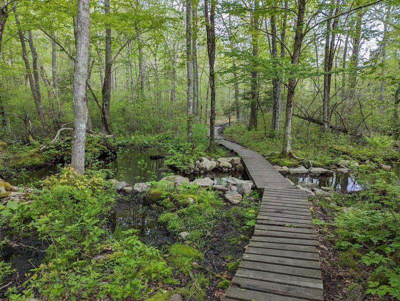
Some forests hold two histories at once. Indigenous heritage and colonial farming both left marks here.
Weetamoo Woods now protects more than 750 acres of varied habitat. The preserve honors Weetamoo, a respected female sachem of the Pocasset Wampanoag.
Weetamoo itself has more than five miles of walking trails, with more than eight miles available when combined with adjacent Pardon Gray Preserve.
Terrain shifts between oak forest, open meadow, quiet wetland, and thick rhododendron stands. Variety keeps the miles interesting.
Colonial Era farmland traces appear constantly in stone walls, cellar holes, and old foundations. Each one hints at a household long gone.
Slab bridges carry hikers across Borden Brook, near the site of an 1800s sawmill. Historic sawmill stonework and the millrace remain visible along the trail system.
Blazes come in red, orange, and yellow, with mostly gentle slopes. Rocky and rooted stretches show up without warning.
Current trail guidance says dogs must remain physically leashed and under restraint. Leashes still make sense during busy weekends.
High Rock is a marked feature along the Weetamoo trail network. Spring brings skunk cabbage, while autumn delivers russet oak color.
Old stone walls provide a prominent historic feature along the trails, but regular September snake basking is not documented. The main entrance opens off East Road in Tiverton.