This Tiny North Carolina Town Has Just 13 Residents And One Seriously Huge Attraction
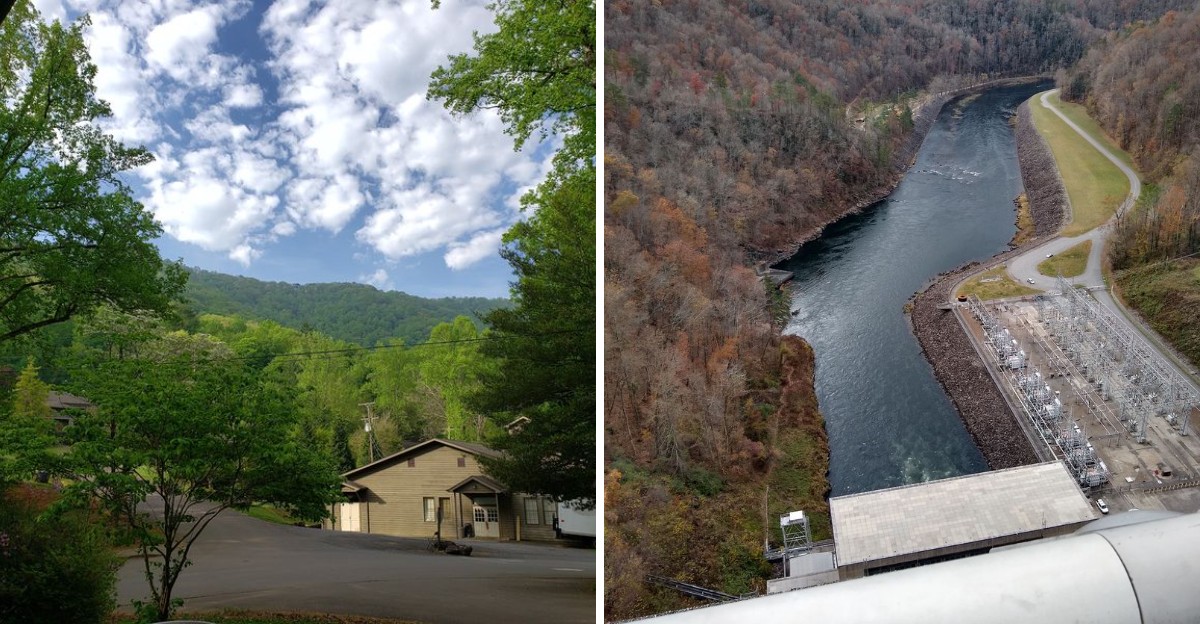
Thirteen residents and a 480-foot dam sound like numbers from two completely different stories.
Somehow, they belong to the same North Carolina mountain stop.
The population is tiny enough to make a group chat feel crowded. The landmark beside it is anything but.
That mismatch is what makes the place so memorable. You can stand in a town barely big enough to fill a restaurant, then look up at one of the most imposing structures in the region.
It feels slightly unreal.
Big views usually come with big destinations. Here, the town forgot to follow that rule.
The 2020 Census Counted Just 13 People In This Tiny Mountain Town
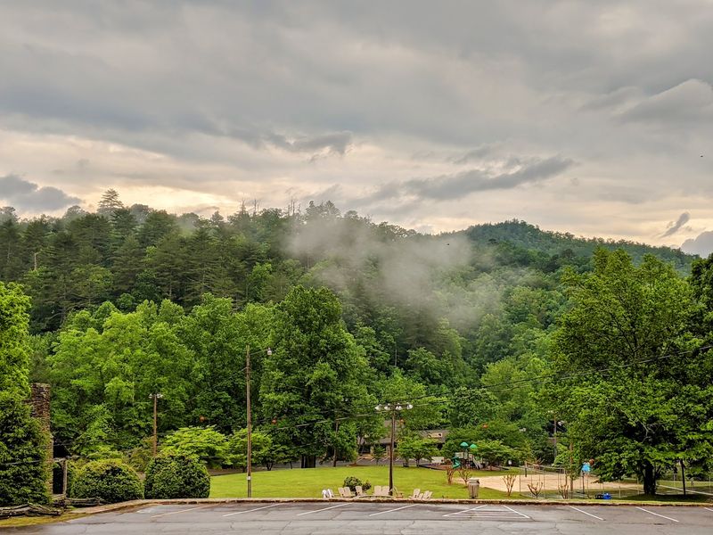
A town can be small enough to miss on a map and still give travelers plenty to remember.
The 2020 Census counted just 13 residents in Fontana Dam, although North Carolina’s latest published municipal estimate puts the town at about 50 residents as of July 1, 2024.
The community sits among the wooded slopes of Graham County, where winding roads make the approach feel like part of the trip.
Slow down as you arrive; the scenery deserves more attention than a quick glance through the windshield.
Fontana Dam began as a construction community when workers came to build the huge structure during the 1940s. Today, visitors find a much quieter place, with mountain views and access to outdoor stops nearby.
For directions, look for Fontana Dam, NC 28733, off N.C. Highway 28 or County Road 1245.
Bring water and a snack before setting out, since this is not the sort of town with shops on every corner.
The small population is a reminder that a destination and a hometown are not the same thing.
People come to see the landmark, but they are also passing through a place where neighbors live.
Drive carefully, follow posted signs, and leave public areas tidy.
That simple care helps keep the mountain setting welcoming for everyone who comes after you.
A 480-Foot Wall Of Concrete Completely Dwarfs Everything Around It
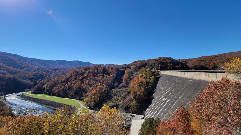
From below, the concrete face seems to grow out of the mountainside.
Fontana Dam rises 480 feet, making it the tallest dam east of the Rocky Mountains.
Its long crest spans 2,365 feet across the Little Tennessee River valley.
Those figures can be hard to picture until you see the pale wall against the dark green slopes. Even tall trees look small beside it.
The Tennessee Valley Authority built the dam to hold back river water and produce electricity.
Its broad shape is not just for show; the structure has to stand against the enormous force of the reservoir behind it.
Look for the contrast between straight concrete lines and the uneven ridges around them.
On a clear day, shadows help show the dam’s height, while clouds can make the whole scene feel larger. A wide view is often better than a close photograph here.
Step back where public access allows and include the surrounding hills in your frame.
That gives friends and family a clearer sense of the scale when they see your pictures later.
North Carolina has plenty of dramatic mountain sights, but few place a human-made structure so boldly against the landscape.
You Can Actually Walk Across The Top Of This Engineering Giant
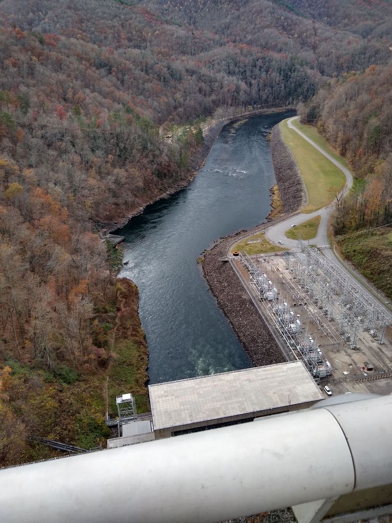
One of the best ways to understand the dam is to cross it on foot.
The crest gives you room to take in two very different scenes: the wide reservoir on one side and the river valley below the other.
Forested ridges rise beyond both views. Walking also lets you notice details that are easy to miss from a car, including the repeating lines of the structure and changing colors on the water.
Plan for a stroll rather than a race.
The top stretches 2,365 feet from end to end, so a round trip covers nearly a mile before you add any nearby paths.
Wear comfortable shoes and bring water, especially on a sunny afternoon. Children should stay close to adults, and everyone should remain in areas open to the public.
Check current access signs when you arrive because rules can change for maintenance or operations.
For visitors exploring western North Carolina, the walk offers a rare chance to stand right on the attraction they came to see.
Pause where it is safe, listen for the wind, and look back toward the road you traveled.
From that height, the mountains seem to roll away in every direction.
The Appalachian Trail Runs Straight Across The Dam
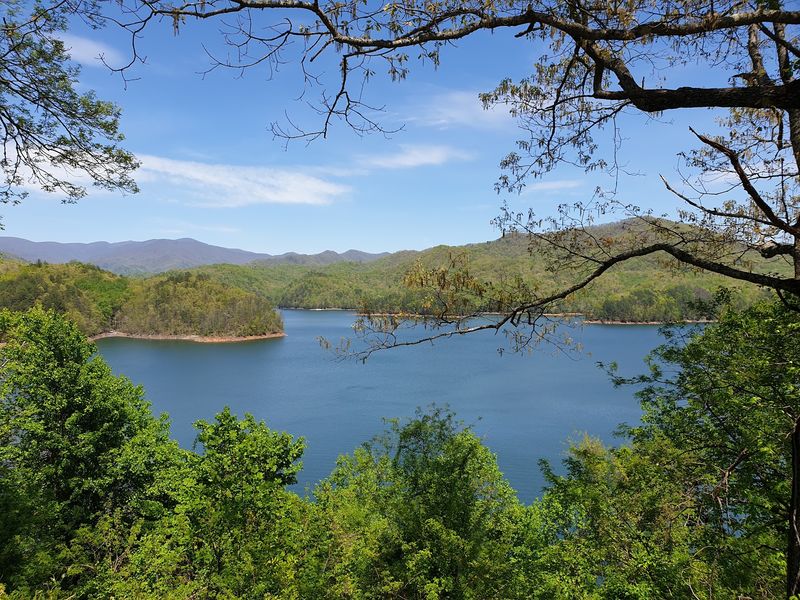
Hiking boots and a giant concrete crossing make an unusual pair.
At Fontana Dam, the Appalachian Trail passes over the crest before continuing into mountain country.
Long-distance hikers share this paved stretch with day visitors, so you may see large backpacks moving past people who came only for the view.
It is a memorable change of surface on a trail better known for dirt paths and rocky climbs.
Follow trail markers if you want to explore beyond the dam, but choose a route that fits your time and energy.
Mountain trails can become steep soon after an easy paved section.
Check a current map, carry enough water, and tell someone where you plan to walk. Weather can also shift quickly around the ridges, even when the lake looks bright and calm.
Near the crossing, hikers know the Fontana Dam Shelter by its cheerful nickname, the Fontana Hilton. The name speaks to how welcome a place to rest can feel after miles on foot.
You do not need to tackle the whole Appalachian Trail to appreciate this stop.
Watch the path continue from the concrete into the trees, and you can feel how the dam links a vast hiking route with one small mountain town.
World War II Is The Surprising Reason This Massive Project Was Built
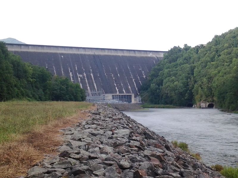
The quiet water gives few clues about how urgently this place was built.
The Tennessee Valley Authority constructed Fontana Dam during World War II, completing it in 1944. Demand for electricity had grown as factories increased production, including aluminum plants in nearby Tennessee.
Aluminum was needed for aircraft, so a remote mountain river became part of a much larger national effort.
Building the dam meant bringing workers, equipment, and supplies into a rugged valley.
A construction village provided services for the people doing that work.
Try to picture the busy roads and buildings when you stand near the finished structure today. The stillness of the mountains makes the contrast especially sharp.
Although the project began in an emergency, its effects on the river and the surrounding communities lasted long afterward.
North Carolina visitors can look beyond the impressive measurements and ask what it took to finish such a project in a short time.
Historical displays, when available, help connect the concrete in front of you with the people who built it. Leave time to read them rather than treating the dam as a quick photo stop.
Its story is as much about work and change as it is about height.
More Than 10,000 Acres Of Mountain Water Stretch Out Behind It
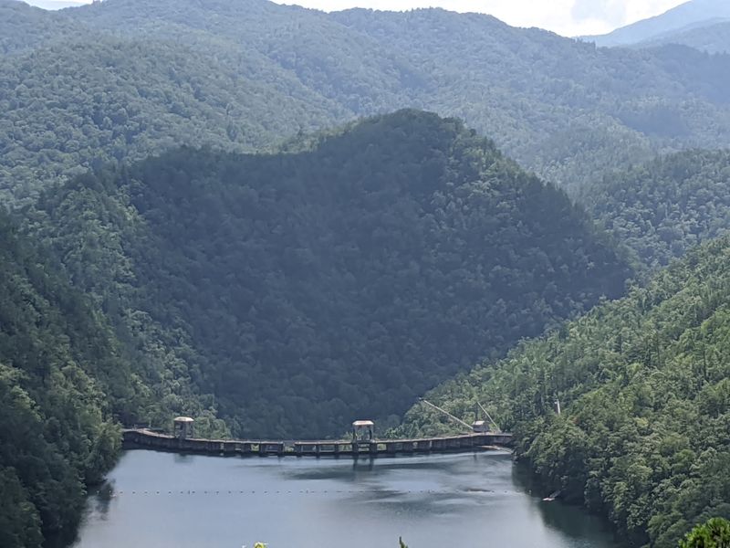
Look behind the concrete wall and the view opens into a maze of blue coves.
Fontana Lake covers about 10,230 acres, with wooded slopes meeting the water along its winding shore.
From the dam, the reservoir can appear smooth and simple. A closer look shows narrow inlets, far ridges, and reflections that shift as clouds pass overhead.
Boating gives visitors another way to see the lake, while a quiet viewpoint works well if you would rather stay on land. Check water conditions and local access information before planning any trip onto the reservoir.
Wear a properly fitted life jacket for paddling, and remember that distances across open water can look shorter than they are.
Shoreline access varies, so use designated public areas rather than assuming every cove has a path.
Pack a simple picnic if your plans allow for a longer visit. Crisp fruit and sandwiches taste especially good after a walk, with the mountain air and broad water in view.
Take food scraps and wrappers with you so the shore stays clean.
As the light changes, distant slopes fade from bright green to soft blue.
It is an easy scene to linger over, even without leaving the dam.
The Visitor Center Adds One Of The Best Free Stops In The Smokies
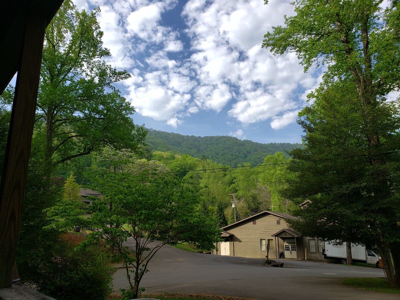
Big views are more interesting when you know what you are seeing.
The Fontana Dam Visitor Center offers a free place to learn about the dam before or after you walk across it.
Displays explain the structure and its history, giving shape to numbers that can feel abstract outside.
A map can also help you understand how the lake, river, and nearby mountains fit together.
Make this a flexible stop rather than the only reason for your drive.
The center operates seasonally, so check current hours with the Tennessee Valley Authority before leaving home. Its exhibits and services may also change.
If it is open, allow enough time to read at a comfortable pace instead of rushing in and out between photographs.
Families can turn the visit into a simple challenge: find one fact about the dam’s size and another about why it was built. Then step outside and see whether those facts change the way the concrete wall looks to you.
Bring your own water and plan snacks around your route, since a visitor center is not a full dining stop.
Best of all, the information adds meaning to the mountain scenery without adding an admission cost to your day.
How One Of The State’s Tiniest Towns Ended Up With An Attraction This Huge
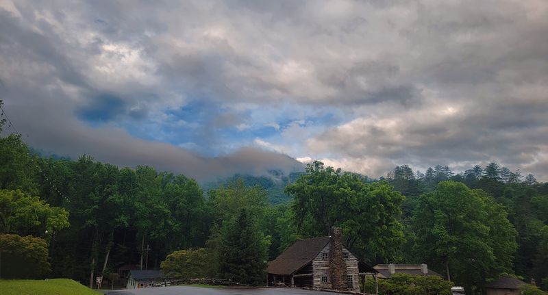
The mismatch between the town and its landmark makes more sense once you know which came first.
The dam project needed a place for its workers to live while they built a huge source of electricity in a remote valley. Buildings and services grew around that need.
When construction ended, the bustle faded, but the village and the remarkable structure remained.
Fontana Dam was incorporated as a town in 2011, and the 2020 Census later counted just 13 residents there. That figure counts residents, not everyone you might see on a busy day.
Visitors arrive to cross the dam, follow the Appalachian Trail, learn its history, or look out over the lake.
The surrounding mountains give each activity a different setting, from open concrete underfoot to wooded paths nearby.
If you are planning a North Carolina road trip, treat this as more than a roadside oddity. Set aside time for the view, a careful walk, and a stop at the visitor center if it is open.
Check your route before heading into the mountains, where roads curve and travel can take longer than expected.
The town may be tiny, but its story reaches across a river, a lake, and generations of visitors.