This Massive Connecticut State Forest Is A Goldmine For Forgotten Ruins
An old stone wall in the middle of the woods can raise more questions than a museum full of exhibits.
Who built it? What stood nearby?
And why has the forest swallowed so much of the evidence?
Exploring historic remains outdoors has a special appeal because the past is not neatly arranged behind glass. You have to pay attention to the landscape and wonder what it looked like before the trees took over.
Deep within a Connecticut state forest, traces of earlier human activity add an unexpected historical dimension to outdoor exploration.
Of course, the natural surroundings are part of the experience too.
Quiet trails and changing autumn leaves can make a walk enjoyable even before you notice anything unusual.
But spotting an old foundation or another remnant can change how you see the entire area.
The forest begins to feel like a place with stories beneath its surface, inviting curious visitors to appreciate both its scenery and its history.
1. A Forest Big Enough To Swallow Old Farms
Who left all those old stone walls in the woods? That question gets a lot more interesting when you realize you’re exploring land where entire families once lived and worked.
Pachaug State Forest covers roughly 26,477 acres across six towns, making it the largest state forest in the state. With so much ground to explore, it’s easy to understand how traces of old farms and forgotten buildings can remain hidden among the trees.
The forest’s story began in 1928, when the state purchased 1,011 acres from Briggs Manufacturing Company in Voluntown. During the 1930s and 1940s, the property grew as farmers sold land that had become difficult to cultivate.
Small mills also gradually disappeared as newer technology changed how businesses operated. Their owners moved on, leaving behind stone foundations, walls, and other reminders of earlier life.
Today, hiking through the forest can feel like following clues from another century. Watch for unusually straight rows of stones or old foundations partly covered by leaves.
The main forest area is around Voluntown, CT 06384, with dirt roads and trails offering different ways to explore.
Bring sturdy shoes and check your route before setting out. With thousands of acres to wander, even a short hike can turn into an interesting history lesson.
2. What The Name Pachaug Really Means
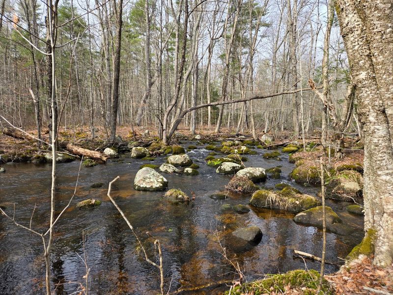
Every good mystery starts with a clue, and here the clue is the name itself. Pachaug comes from a Native American term meaning bend or turn in the river.
That name points to the Pachaug River. It flows through the area from Beach Pond, curving its way through the land.
Long before any stone walls went up, this region was home to Native peoples. The Narragansett, Pequot, and Mohegan tribes all lived on these lands.
The town has its own interesting naming story too. Voluntown was first called Volunteer Town, a name tied to land grants given in 1700.
Those grants went to veterans of a colonial-era conflict. The town was later incorporated in 1721, which makes its roots older than the United States.
Knowing this background changes how you see the scenery. A simple river bend suddenly becomes a landmark that people have recognized for centuries.
Take a moment near the water when you visit. Thinking about who stood there first adds real depth to an ordinary afternoon walk.
3. Cellar Holes And Miles Of Stone Fences
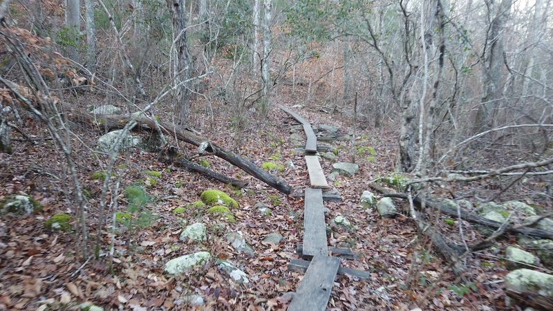
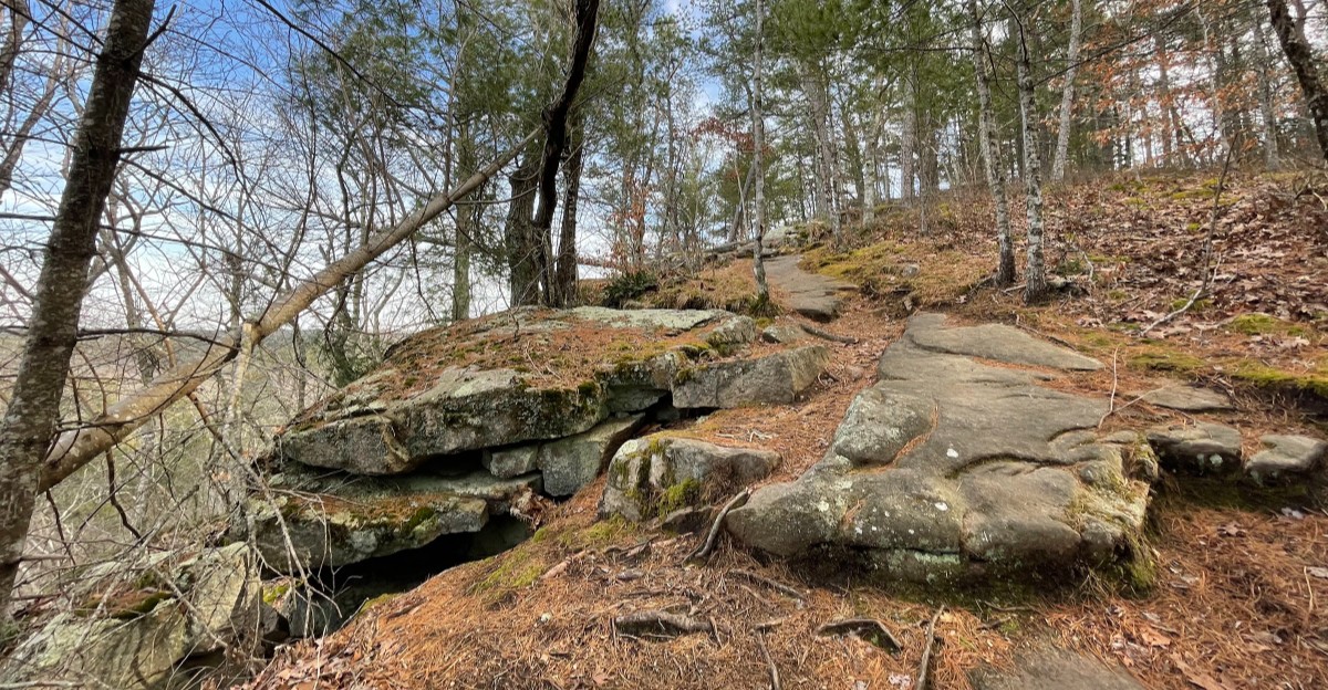
Think of cellar holes as the footprints houses leave behind. Throughout the forest, you can find many of these sunken stone outlines from former farms.
Miles of stone fences run alongside them. Farmers once used these walls to mark fields and pastures that dotted the landscape.
Today, trees grow right where cows and crops used to be. A wall slicing through thick woods is a sign that this spot was once open land.
Spotting these features is easier than you might think. Look for rectangular dips in the ground lined with fitted rocks.
Here is a helpful tip for young explorers. Never climb on old walls or foundations, since loose stones can shift and tumble.
Also leave every rock where you found it. These ruins are part of the forest’s story, and moving them erases a little piece of history.
Bring a camera instead of a bag. Photos let you compare different sites later and notice how builders shaped each wall in its own way.
4. Brooks That Once Powered Busy Mills
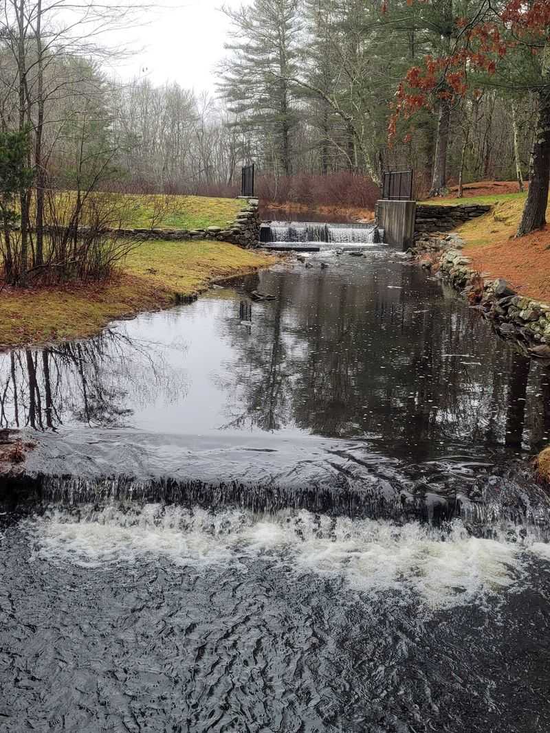
Can a little brook hide 300 years of history? At Pachaug State Forest, the answer might be right beside the water, where old stonework offers clues about a much busier past.
Mills began appearing in this area as early as 1711, back when flowing water powered much of New England’s industry. Streams turned waterwheels that kept machinery running, while carefully arranged stones helped direct the current.
Many of those early mills eventually closed as technology changed. Buildings disappeared, trees grew back, and the old stone structures became part of the forest.
Today, remnants of mill sites and dams can still be spotted near waterways throughout the property. Some are easy to overlook, especially when leaves and vegetation cover the ground.
Keep an eye out for unusually straight stone walls, old channels, or flat areas near stream banks. They could be reminders of the people who once worked beside the water.
Late fall can be especially interesting for exploring because fallen leaves make stone features easier to see. Spring brings fuller streams, adding a different kind of scenery.
Just remember to stay on established trails and watch your footing near the water. Wet rocks can be slippery, and stream banks may become unstable after heavy rain.
5. The Puzzling Old Stone House Near Hodge Pond
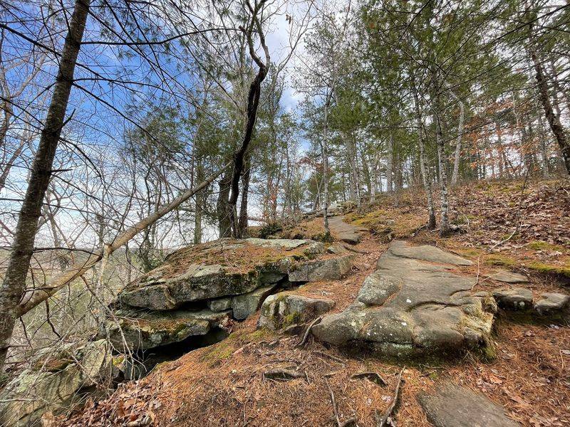
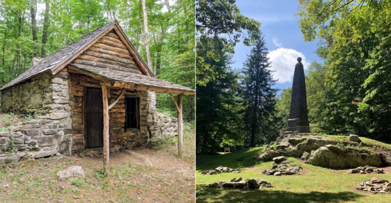
Every ruin hunter needs a headline find, and the Old Stone House fits the bill. It sits near Hodge Pond, just off the Hodge Pond Loop trail.
The structure is something of an enigma. Many believe it was once a fancy mansion, which makes its empty walls even more intriguing.
Nobody can say for sure what happened to it. One idea is that it was abandoned or intentionally burned when the state gathered land in the 1930s.
Architectural clues add another layer to the puzzle. The foundation may date to the 18th or 19th century, while the main house seems newer.
Those clues suggest the house was finished in the early 20th century. So one building may hold two very different time periods stacked together.
Treat this site with extra respect. Stay outside the walls, keep kids close, and enjoy the details from a safe distance.
Pairing the visit with the loop trail makes a fun outing. You get a pond walk and a genuine historical riddle in one trip.
6. Spooky Stories Of Hell Hollow And Mount Misery
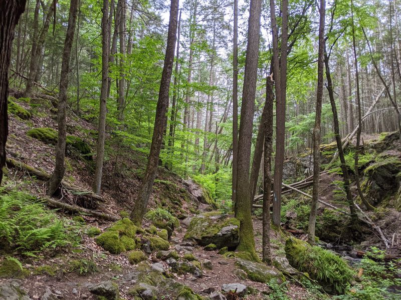
Names like Hell Hollow and Mount Misery practically beg for a campfire tale. Some people link those gloomy names to how hard the land once was to farm.
The Hell Hollow Road and Pond area has real history you can see. Stone foundations and long stone walls stand along this section.
Then come the legends, and they are clearly legends. Local stories describe a mysterious black mist reported in Hell Hollow.
Another tale claims a colonial soldier wanders along Breakneck Hill Road. Others mention ghostly screams and a spirit named Maud Reynolds near her old gravesite.
None of these stories are proven facts. They are folklore that has grown over the years, passed along by people who enjoy a good scare.
Still, they make exploring more fun. Reading the legends before your hike adds a little shiver to every rustle in the leaves.
Plan to finish before dark, though. Most forest areas close about a half hour after sunset, so ghost hunting should stay in daylight.
7. Climbing Mount Misery For The Big View
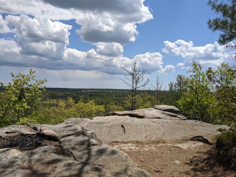
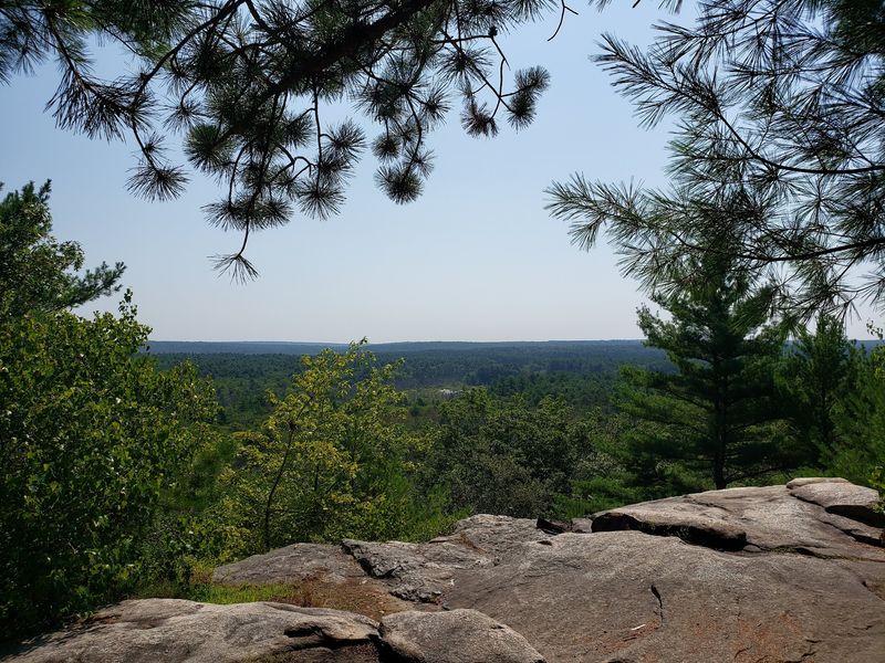
Despite the gloomy name, Mount Misery offers one of the friendliest payoffs in the forest. The overlook stands at 441 feet, the highest point around.
From the top, you can see wide views over the forest and Voluntown. It is a great place to understand just how much land surrounds you.
Getting there is easier than you might expect. You can hike a trail or take a short 600-foot walk from a parking area.
Nearby, the Rhododendron Sanctuary adds a colorful bonus. It is wheelchair-accessible, and the flowers typically bloom around July 4th.
The forest also holds the Pachaug-Great Meadow Swamp. It was named a National Natural Landmark in 1973 for its Atlantic white cedar swamp.
So your day does not have to be all ruins. Mixing history spots with these natural highlights keeps the whole family interested.
Pack water and a snack for the summit. A short rest up top gives you time to plan which old foundation to look for next.
8. Trails, Campsites, And Tips For Your Ruin Hunt
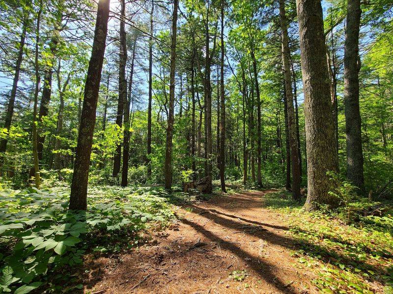
A long hunt for ruins deserves a good game plan. Luckily, the trail network here is huge and varied.
The Pachaug Trail runs about 30 miles. The Nehantic Trail is just under 15 miles, and the Quinebaug Trail is about 7 miles.
You will also find the Narragansett Trail. Riders with registered street-legal motorcycles can use a 58-mile enduro trail.
Want to stay overnight? Green Falls Campground has 18 wooded sites, plus pond fishing and swimming from late April through September. Mt. Misery Campground offers 22 wooded sites.
It has stream fishing and swimming nearby.
Other activities include boating, mountain biking, horse camping, picnicking, and cross-country skiing. Hunting also happens here, so bright clothing is a smart choice during seasons.
Connecticut-registered vehicles park free through the Passport to the Parks program. Out-of-state vehicles may pay a $15 fee on weekends and holidays.
Before you go, check the official state forest page for updates. Then grab a map, lace up, and start reading the stories written in stone.