This Breathtaking North Carolina Mountain Trail Finally Reopened Nearly Two Years After Hurricane Helene
Whole pieces of this mountain trail were ripped downhill when uprooted trees gave way during the storm. That image stuck with me.
This was not a cleanup job involving a few branches and muddy boots.
Parts of the route had to be rebuilt carefully, and now hikers are finally getting some of that climb back.
The parking area, upper trail, and a backcountry campsite have reopened, bringing access once again to the rocky face that appears through the trees above.
What makes the hike especially interesting to me is how much changes on the way up.
Nearly 1,775 feet of climbing carries hikers through seven different natural communities in a single outing.
North Carolina packed a surprising amount into this mountainside. There is one important catch, though.
The lower section is still closed.
So the trail is back, but not quite in the way longtime hikers remember it.
Hurricane Helene Hit This Side Of The Mountain Especially Hard
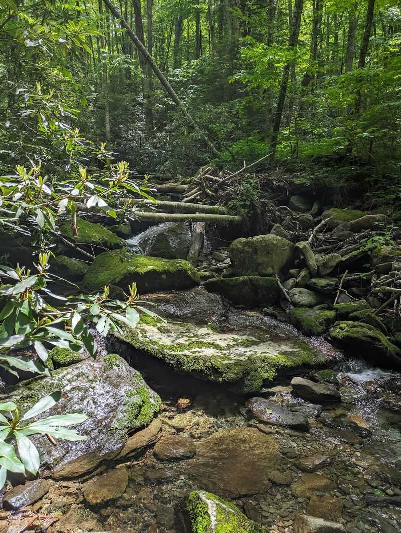
Grandfather Mountain State Park Profile Trail took one of the worst beatings in the park when Hurricane Helene arrived in September 2024. The storm ranks among the most destructive in Western North Carolina’s recorded history.
Fierce winds knocked down huge numbers of trees on the mountain’s northwest side. Many of those trees pulled big sections of trail downhill as their roots tore loose.
Water caused even more trouble. The stream running beside the lower trail overflowed and buried the path in debris.
Parts of the tread simply washed away. Several slope failures then wiped out more sections, leaving gaps where hikers once walked.
Park leaders closed the trail, its connector trail, and the Profile campsite to everyone. That was the only smart choice with ground this unstable.
Meanwhile, the privately owned Grandfather Mountain attraction got lucky. It suffered only minor damage and reopened in October 2024.
That contrast surprises a lot of people. The same mountain produced very different outcomes depending on which slope you stood on.
Knowing this history makes the reopened trail feel more meaningful. Every step now rests on serious repair work, not luck.
Clearing The Mess Took Patience, Crews, And Plenty Of Planning
Fixing a mountain trail is nothing like sweeping a sidewalk. Crews began limited clearing on the Profile Trail in late 2024 and early 2025.
Professional debris removal came later because of logistical challenges. That heavier work finally started in early spring 2026 and wrapped up that same spring.
Think about the setting for a second. Workers had to handle tangled trees and loose soil on steep, sensitive terrain far from any road.
Once the debris was gone, crews completed temporary repairs on the upper sections. Those fixes made it safe enough to welcome hikers back.
The work isn’t finished, though. Planning and design for permanent repairs across the entire trail is now underway.
Park planners are focusing on sustainable construction. They also want to limit disturbance to the mountain’s delicate ecological areas.
That approach makes sense for a place this special. Grandfather Mountain is recognized as a UNESCO International Biosphere Reserve, and careless repairs could harm rare habitats.
So when you hike the open stretch, appreciate the path under your boots. Nearly two years of effort went into making that moment possible.
Here Is Exactly What You Can Hike Right Now
Good news first. As of June 5, 2026, the Profile parking area, the upper section of the Profile Trail, and the Profile campsite are open.
The not-so-good news matters just as much. The lower section of the trail remains closed because its damage was too severe for temporary repairs.
You’ll find the trailhead at 4198 NC-105 N, Banner Elk, NC 28604. Access to the state park trailheads is free, but hikers must complete a free registration permit at the trailhead before setting out.
During September and October, the park operates from 8 a.m. to 8 p.m. Hours change throughout the year, so check the current schedule and plan to return before the gates close.
Signs at the site spell out which areas are off-limits. Follow them closely, even if a closed path looks tempting.
Those rules protect you and the park staff who would need to reach you in trouble. Nobody wants a rescue story as their souvenir.
It’s smart to check the park’s latest trail conditions before driving out. Mountain repairs can shift plans quickly.
A partial reopening still offers plenty of adventure. The upper trail holds many of the route’s most memorable features anyway.
Your Legs Will Feel Every One Of These 1,775 Feet
Numbers tell the story of this climb pretty clearly. The full Profile Trail stretches 3.6 miles one way and gains roughly 1,775 feet.
The trailhead sits at 4,034 feet above sea level. Calloway Gap waits up at 5,675 feet.
From there, hikers can continue toward Calloway Peak. At 5,946 feet, it’s the highest point on Grandfather Mountain, which is a serious bragging right.
The park rates this route as strenuous. That label is honest, not dramatic.
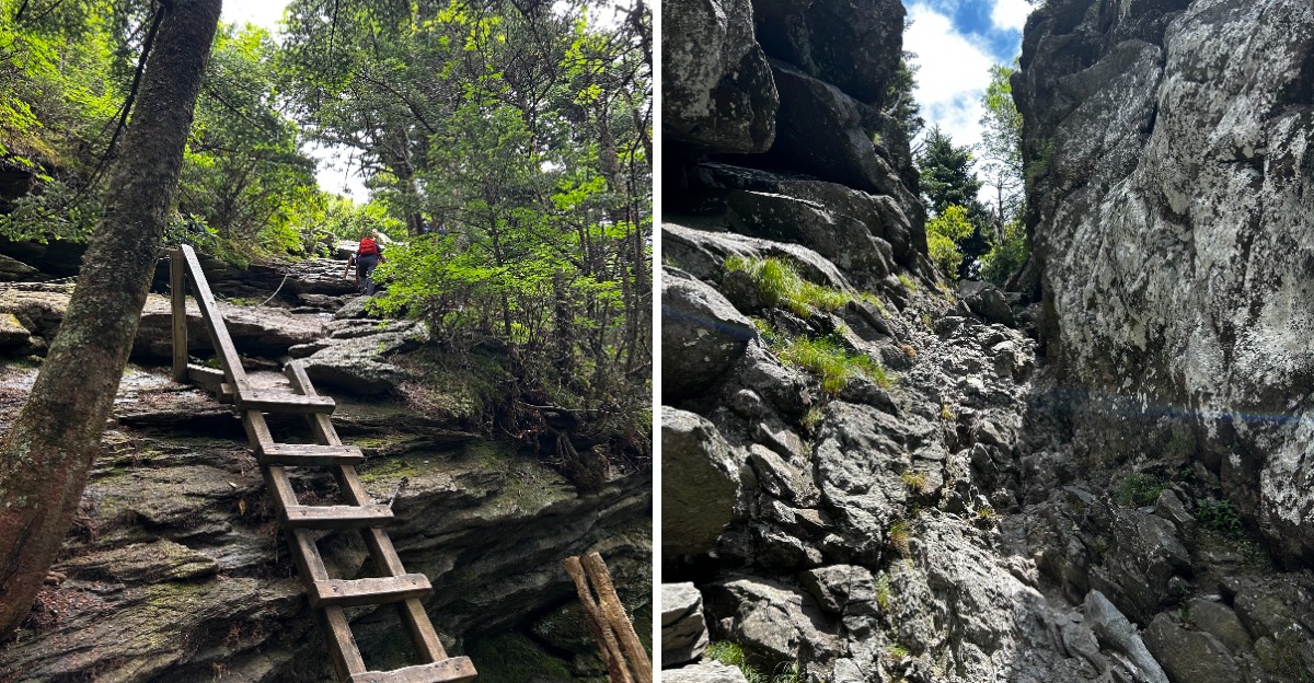
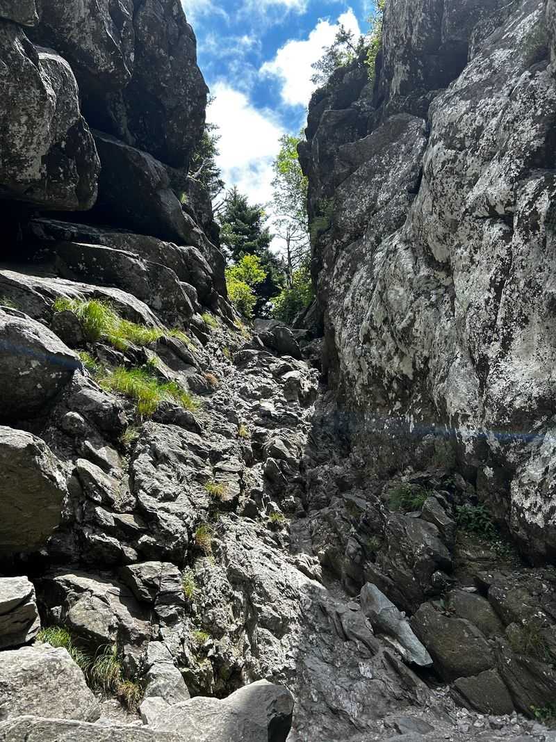
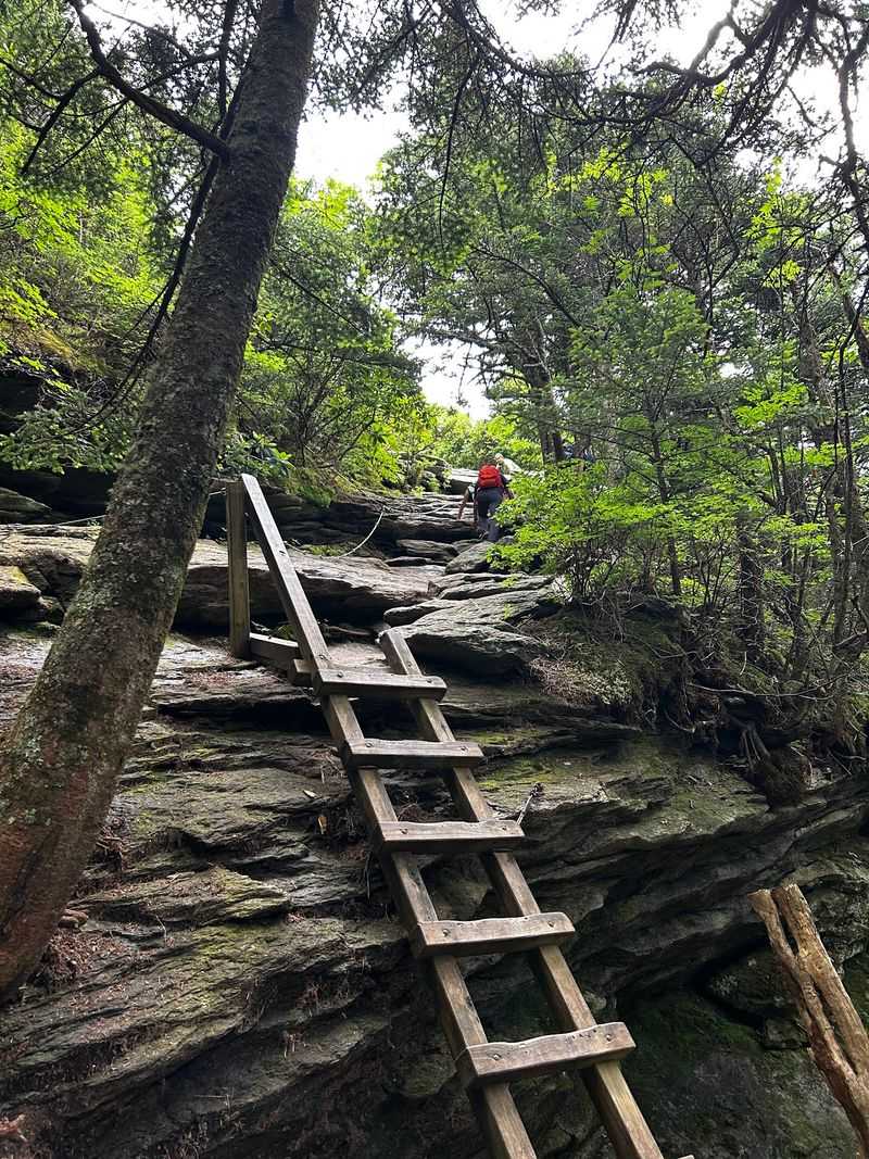
Early sections roll along gently before the grade gets steeper. Beyond Shanty Spring, the trail turns very steep and rocky.
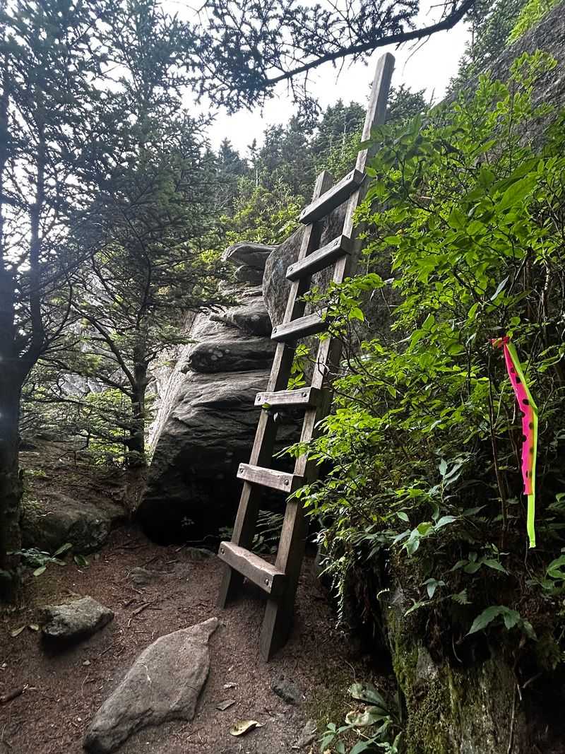
Some spots even require bouldering, where you use your hands to scramble up rock. Good shoes with solid grip make a real difference here.
Pace yourself and take breaks often. There’s no prize for reaching the top completely exhausted.
Remember that some of this route may sit inside the closed lower section for now. Check signage to see exactly where your hike can begin and end.
Bring plenty of water too. Steep climbs drain a bottle faster than you’d expect.
Seven Different Natural Worlds Await On This Mountain Trail
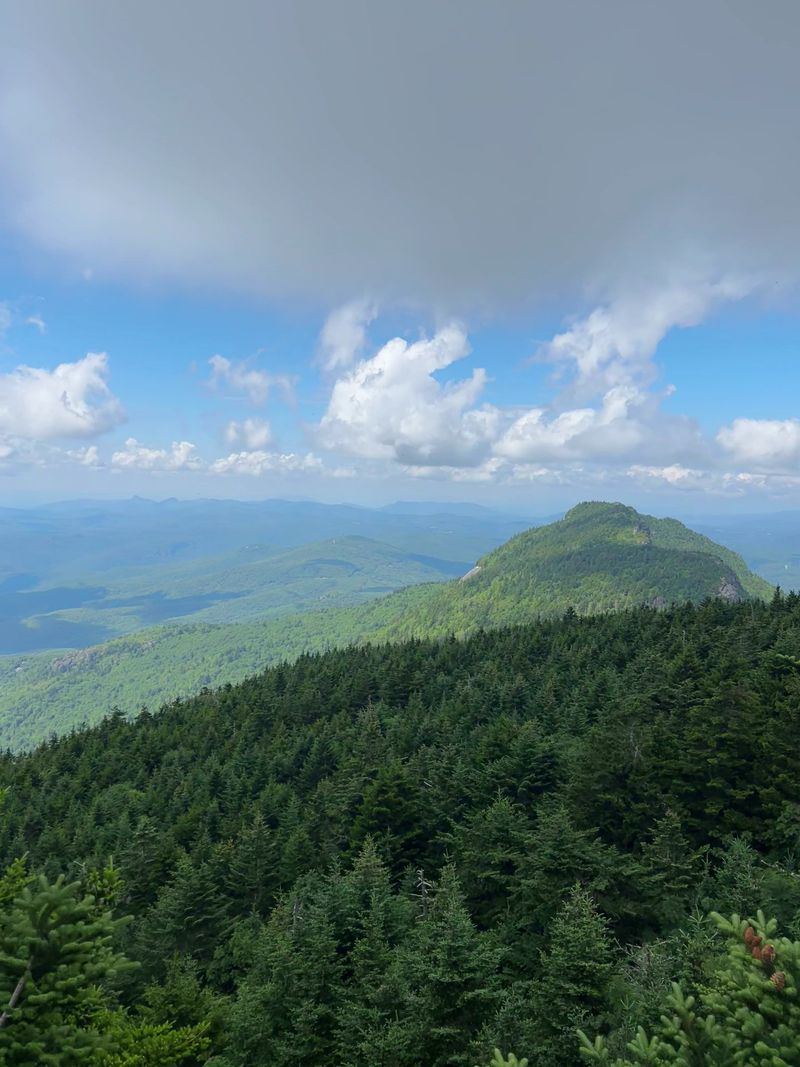
The full Profile Trail passes through seven distinct natural communities, from rich hardwood forests to high-elevation seeps and spruce-fir habitats. Some lower sections remain closed during restoration.
Lower portions wind through Rich Cove and Acid Cove Forests. Each one supports its own mix of plant life.
Higher up, the scenery shifts toward high-elevation spruce-fir forest. It’s a bit like driving north for hundreds of miles without leaving one mountain.
That variety helps explain why Grandfather Mountain earned recognition as a UNESCO International Biosphere Reserve. The mountain is famous for exceptional biodiversity.
Watching the changes happen is half the fun. Trees, shrubs, and ground plants trade places as the air grows cooler.
Earlier stretches feature rhododendron thickets under a hardwood canopy. Seasonal wildflowers add color depending on when you visit.
Kids and curious adults can turn this into a game. Try spotting the moment the forest starts to look and feel different.
A simple plant guide or app can make the hike even richer. You’ll start noticing details you’d usually walk right past.
Just stay on the path while you explore. Those sensitive habitats are exactly what the repair crews are working to protect.
A Stone Walkway With A Name Worthy Of A Superhero
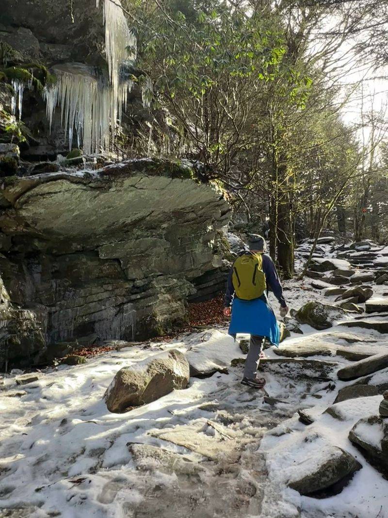
Hundreds of large boulders were fitted together to build one remarkable stretch of this trail. It goes by the name Peregrine’s Flight.
Calling it a sidewalk would be an insult. The rock walkway is artfully constructed, and it feels more like a craft project on a giant scale.
Picturing the effort behind it is impressive. Each heavy stone had to be placed carefully on steep mountain ground.
Peregrine’s Flight appears as the trail begins climbing more seriously. It’s one of those features that makes you slow down and look closely.
Nearby, you’ll also find stone and log benches set out as rest stops. They show up frequently as the grade steepens.
Use them without shame. A short break lets you catch your breath and enjoy the forest around you.
These benches and rock steps also make great photo spots. Friends back home will understand the climb a lot better with proof.
Take your time on the stones, especially if they’re wet. Mountain rock can turn slick after rain or fog rolls through.
Steady footing beats speed every time on a path like this.
Look Up And An Old Man Might Be Looking Back
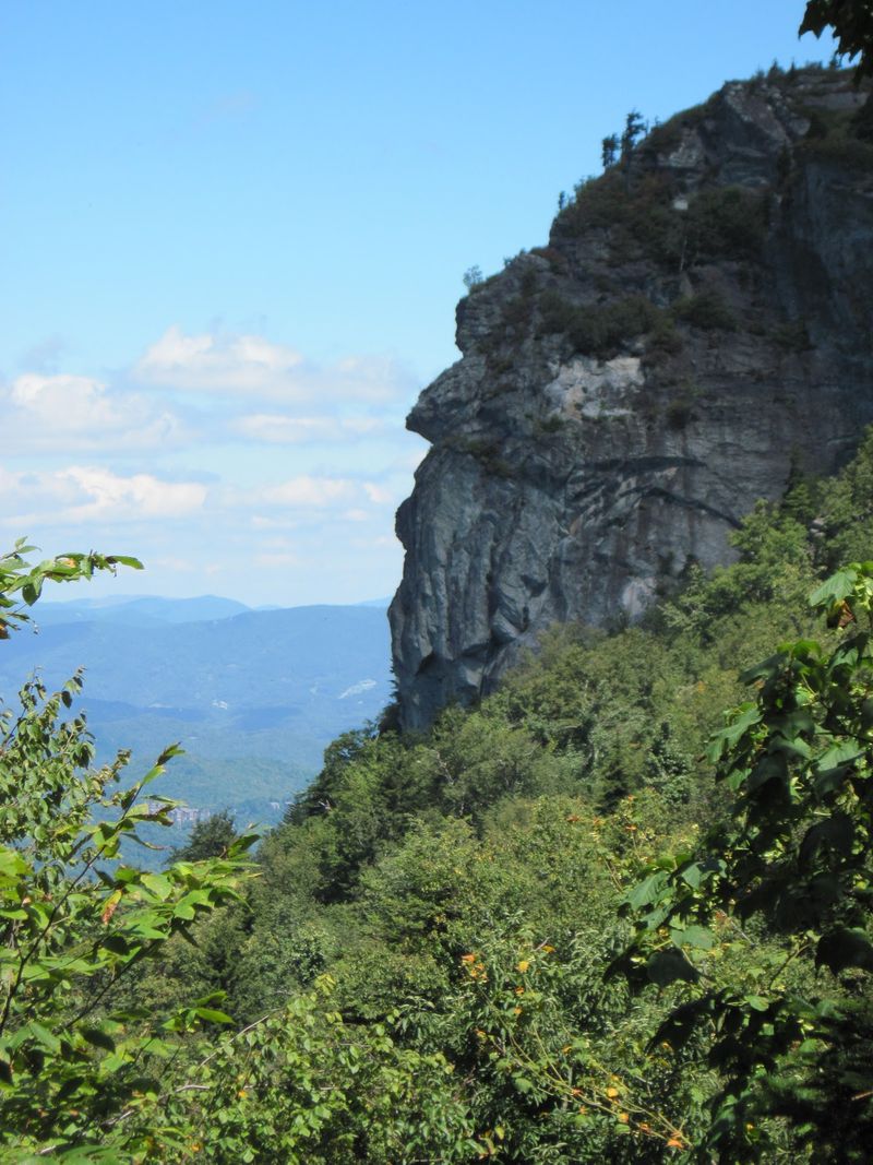
Rocks with faces are the mountain world’s version of finding shapes in clouds. Around the 2.8-mile mark, hikers can spot the famous Grandfather Profile.
This face-like outline peeks through the trees. It gives the trail its name and arguably the whole mountain its personality.
Seeing it in person feels like a reward. You’ve climbed a long way by then, and the mountain finally says hello.
Keep your eyes open as you approach. Trees can partly hide the view, so pause and scan the rocky skyline.
Once you notice the face, it’s hard to unsee it. Many people find themselves pointing it out to everyone nearby.
This viewpoint makes a natural turnaround spot for some hikers. Beyond Shanty Spring, the climbing becomes much tougher and rockier.
Knowing your limits is part of a good hike. Reaching the profile is a fine accomplishment on its own.
Bring a camera with a little zoom if you have one. Phone photos work too, but distance can shrink the outline.
Then sit for a moment and enjoy the company of the oldest face in the neighborhood.
Pack Like The Mountain Changes Its Mind Every Hour
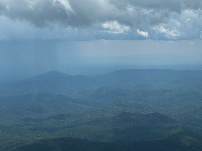
Weather on Grandfather Mountain loves surprises. Temperatures and conditions can change quickly, especially at higher elevations.
A warm, sunny start at the trailhead doesn’t promise the same higher up. Fog, wind, and chilly air can show up fast.
Layers are your best friend here. A light jacket and a warm extra layer take up little space in a daypack.
Rain gear deserves a spot too. Wet rocks and wet clothes make a steep climb far less fun.
Water may matter most of all. A strenuous climb like this burns through supplies, so carry more than feels necessary.
Snacks help keep your energy steady on long grades. Salty foods are handy if you sweat a lot.
Sturdy hiking shoes with good tread are a must. Some upper sections involve rocky scrambling where grip really counts.
Start early to give yourself plenty of daylight. Park closing times vary by season, so check the schedule and leave plenty of daylight for your return.
Tell someone your plan before heading out. Smart preparation lets you focus on the views instead of the worries.
Do Not Mix Up The Free Park With The Famous Bridge
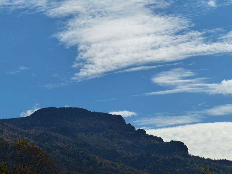
Two Grandfather Mountains exist, at least on paper. Grandfather Mountain State Park is separate from the privately owned Grandfather Mountain attraction.
The attraction charges admission. It’s home to the Mile High Swinging Bridge and wildlife habitats.
The state park side is different. Access to its trailheads, including the Profile Trail, is free from NC 105 and the Blue Ridge Parkway.
Here’s the catch many first-timers miss. The Profile Trail doesn’t lead directly to the Mile High Swinging Bridge.
Experienced hikers can reach it by connecting with the strenuous Grandfather Trail, but visitors who only want to see the bridge should plan a separate trip to the privately operated attraction.
So if the bridge is your dream photo, plan a separate visit. The two experiences can make a great North Carolina weekend together.
Hiking the Profile Trail offers a quieter, more rugged kind of adventure. It’s all about forests, rock, and your own two feet.
Knowing the difference saves confusion at the parking lot. It also helps you set the right expectations for your day.
Either way, the mountain wins. Whether you cross a bridge or climb toward Calloway Peak, the views stay unforgettable.
And after nearly two years of waiting, simply hiking here again feels like a gift.