6 Idaho Disasters That Cut Off Whole Towns, From The Teton Dam Flood To The Big Burn
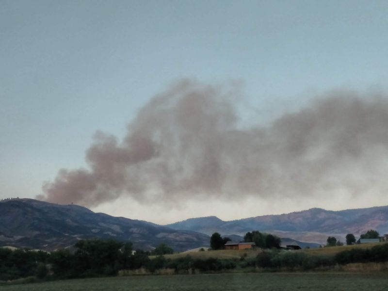
In August 1910, a train packed with about 1,000 people raced across a burning trestle and hid inside a mountain tunnel until the flames passed. That really happened in Idaho.
I still get chills reading about it.
The wild part is how often this state has been sealed off by nature. Floods have turned farm roads into rivers.
Snowdrifts once buried highways so deep that crews needed explosives to clear them. One mudslide erased a whole community for good.
I love history that makes an ordinary drive feel brand new. Some of these stories unfolded in places you have probably passed on the way to a lake weekend or a ski trip.
So what happens when the only road home simply vanishes? Six times, Idaho towns found out the hard way.
How they pulled through is my favorite part.
1. The Teton Dam Flood
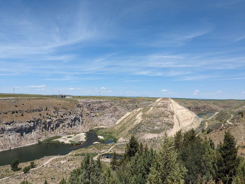
On June 5, 1976, a brand-new earthen dam on the Teton River gave way. An estimated 80 billion gallons of water headed straight for the Upper Snake River Valley.
Wilford was swept away within minutes. Sugar City fared little better, losing or badly damaging about 250 of its 300 homes.
Rexburg took the next punch, with water running 6 to 8 feet deep through town. Thousands of residents fled uphill to Ricks College, which you now know as BYU-Idaho.
The floodwater kept rolling south. Salem, Hibbard, and Roberts were hit hard, while Idaho Falls, Firth, and Blackfoot saw serious flooding farther downstream.
What made it so isolating was the wreckage left behind. Roads crumbled, and downed power and phone lines left whole communities unable to call for help.
Picture trying to reach family when the highway, the phone, and the bridge all vanish on the same afternoon. That was eastern Idaho on a sunny Saturday in June.
The valley rebuilt, and the story is told in detail today in Rexburg. You can see photos, artifacts, and a model of the dam break that make the scale hard to forget.
Address: Teton Flood Museum, 51 N Center St, Rexburg, ID 83440
2. The Big Burn
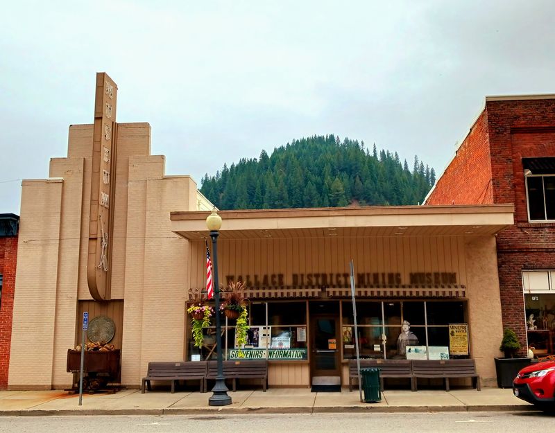
Hurricane-force winds turned a dry summer into a firestorm on August 20 and 21, 1910. Hundreds of small fires merged into one monster that scorched about three million acres across north Idaho and western Montana.
Wallace lost roughly one-third of its town to the flames. Residents boarded evacuation trains bound for Spokane and Missoula with whatever they could carry.
Up the line, the story gets even more cinematic. A train carrying about 1,000 people from Avery raced across a burning trestle and sheltered in a tunnel until the danger passed.
Grand Forks, a small mining town, was almost completely leveled. Burke, Kellogg, Murray, and Osburn also took severe damage as the fire swept the Silver Valley.
Getting out was the hard part, because flames blocked the routes in every direction. Rail lines became the lifeline, and the forest itself became the wall.
The event is often called the Big Blowup, and it changed how the country thought about fighting wildfires. Not bad for a story that started with lightning and wind.
Today, Wallace keeps its mining and fire history close. A visit downtown lets you connect the old photos to the streets that survived.
Address: Wallace District Mining Museum, 509 Bank St, Wallace, ID 83873
3. The New Year’s Day Storm
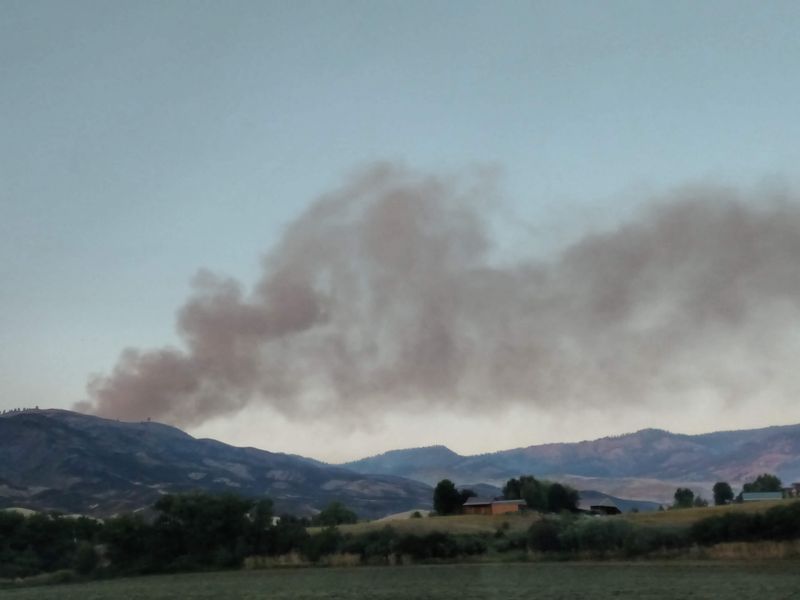
Most folks spend New Year’s Day watching football, but southwest Idaho spent 1997 watching hillsides move. Warm rain on deep snow set off floods, mudslides, and avalanches from January 1 to 5.
The worst blow landed on a small spot along the Payette River called Lower Banks. A mudslide took out its power lines, phone lines, and water supply, and buried Highway 55.
The community never came back. It was eventually condemned, which makes it one of the rare Idaho towns erased by a single slide.
Up and down the mountains, damage to Highways 55, 95, 21, and 17 stranded people. McCall, Cascade, Banks, Lowman, Garden Valley, and Crouch were all cut off for a stretch.
Out west, the Weiser River climbed seven feet above flood stage and swamped much of Weiser. Midvale watched the same river tear a path straight through town.
By the end, more than 400 miles of roads and several rail lines were blocked or wrecked. The storm effectively split Idaho in half.
Next time you cruise the Payette canyon toward McCall, glance at those steep slopes. They have a long memory.
Address: Idaho Highway 55, Banks, ID 83602
4. The Great Winter of 1948-49
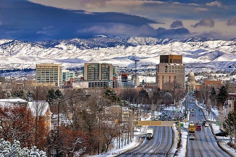
Thirteen straight weeks of snow sounds like a skier’s dream until you remember the plows of 1948. From November into February 1949, southern Idaho got buried and battered by winds up to 40 mph.
Sub-zero cold made the drifts rock hard. Some roads around Pocatello needed explosives just to punch a lane through.
Rockland and Roy found themselves cut off from the outside world. The Rockland Road and the Aberdeen Road closed, and an Oshkosh plow broke down in the middle of the effort.
Travelers had it rough too. Caravans got stuck at Coldwater Camp between American Falls and Raft River, and planes dropped food and supplies to them.
Heating fuel turned into the real worry. Coal ran so low that deliveries went only to households that had completely run out.
Even up north, Moscow came within three days of running dry on coal. That is a long way from a quick trip to the store.
The winter shows how much modern snow removal quietly protects you. Rockland still sits in its quiet valley, a small reminder that Idaho winters once ruled the calendar.
Address: Rockland, ID 83271
5. The February 1996 Panhandle Floods
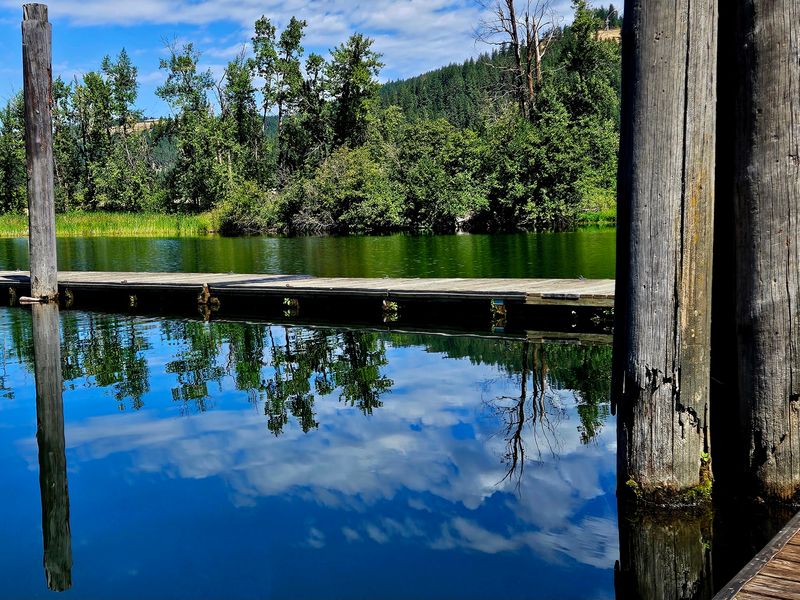
Rain on snow plus ice jams is a recipe nobody in the Panhandle wants to cook again. In February 1996, rivers in the Coeur d’Alene and St. Joe basins rose to near-record heights.
St. Maries caught the brunt of it when the St. Joe River breached its levees. Idaho 3 ended up under more than 20 feet of water in spots.
Over 100 homes flooded, some right up to their rooftops. Driving out simply was not an option.
Cataldo had its own scare as the Coeur d’Alene River broke through an emergency dike. Five feet of water poured into the community, and residents evacuated.
Around Medimont, homes became an island ringed by floodwater. Helicopters flew in supplies because no road could get there.
The trouble reached south too. In Culdesac, Lapwai Creek overtopped its levee and part of the town had to clear out.
Flooding peaked around February 9 and dragged on until about February 23. Boats and helicopters handled rescues while washed-out highways kept whole areas sealed off.
If you love the St. Joe for summer floats, this chapter adds serious respect.
Address: St. Maries, ID 83861
6. The January 1974 Coeur d’Alene River Flood
Twenty-two years before the 1996 flood, the same river staged a dress rehearsal. In January 1974, heavy rain and melting snow sent the Coeur d’Alene River to flows nobody had seen in decades.
At Cataldo, the estimated flow topped anything recorded since the river gauge went in back in 1911. That is more than six decades of records broken in one winter.
Roads along the river disappeared under water. Boats stopped being a hobby and became the only practical way to get around.
Medimont once again turned into an island. Helicopters carried supplies to families whose homes were surrounded by floodwater.
Railroad travel was disrupted as well, which mattered a lot in the Silver Valley corridor. With rails and roads both out, communities along the river had to wait it out.
Why does it earn its own spot? It proved the lower Coeur d’Alene could swallow its towns, and it set the stage for how the region would face 1996.
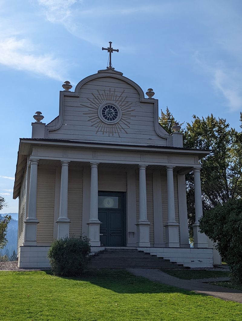
Today you can stand on the hill at Old Mission State Park and look over that floodplain. The view makes the history click.
Address: Old Mission State Park, 31732 S Mission Rd, Cataldo, ID 83810