9 Connecticut Hiking Trails Locals Avoid In September Because The Copperheads Are Too Active
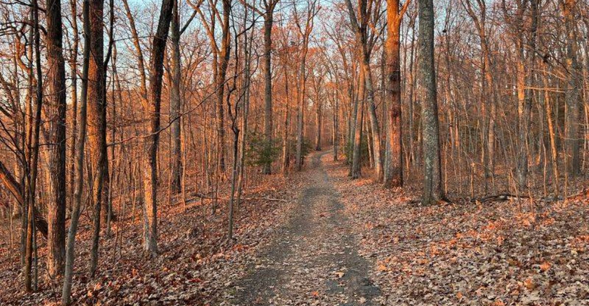
September hiking comes with one slightly unnerving bonus: copperheads can still be active when the weather stays warm enough for them to move around.
In Connecticut, that means certain rocky trails deserve a little extra attention before you charge ahead like the path personally challenged you.
The good news is that these snakes are not roaming around looking for hikers to bother.
They would much rather keep their distance, which is reassuring right up until a suspiciously leaf-colored shape makes you stop mid-step.
A peaceful walk can get dramatically more interesting after that.
Local hikers know the terrain matters, especially around rocky ridges where copperheads are more common.
So this is less about panic and more about knowing where you are putting your boots.
September can still be a beautiful time to hike.
Just maybe give that warm rock beside the trail a respectful second glance before deciding it is definitely only a rock.
1. Ragged Mountain Preserve Trail, Berlin
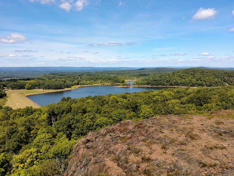
Rocky ridgelines do most of the talking here. Broad stretches of exposed traprock open the hike to wide views, while the same warm ledges also create favorable habitat for copperheads.
That mix gives the route a little extra edge without taking away from its appeal.
Covering 589 acres, Ragged Mountain Preserve includes about 6.5 miles of officially marked trails. Roughly 2.5 miles belong to the Metacomet Trail, while the blue-red blazed preserve trail follows the eastern side and links several scenic overlooks.
The views change as the ridge unfolds. Lower Harts Pond and Turkey Hill appear first, followed by broader looks toward southern Kensington.
Farther on, hikers can pick out West Peak in Meriden and Wassel Reservoir, with Heublein Tower visible to the north when conditions are especially clear.
A popular loop runs about 5.4 to 5.5 miles and climbs roughly 830 feet overall. The high point reaches 761 feet, but the challenge comes more from rocky footing and repeated short climbs than from one sustained ascent.
Parking for the Berlin trailhead is along West Lane near the bend into Wigwam Road, Berlin, CT 06037. Because the trail network can be confusing in spots, staying with the marked blazes is smart.
It also keeps hikers away from quiet rocky pockets where snakes may be resting.
2. Quinnipiac Trail At Sleeping Giant State Park, Hamden
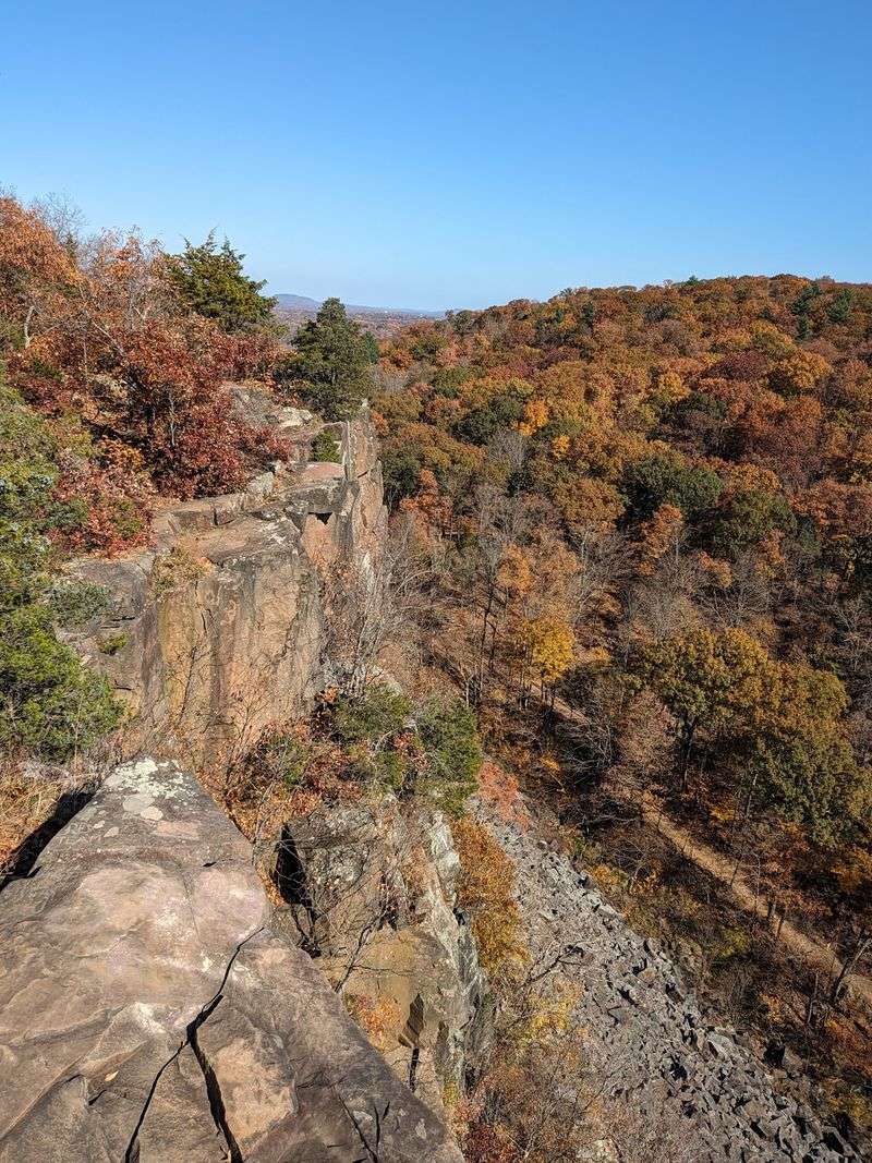
It is easy to see why. From a distance, the ridge resembles a giant stretched out on his back, giving the park its memorable name.
Up close, that outline becomes steep traprock, rough footing, and occasional scrambling where careful hand placement matters.
More than 32 miles of backcountry trails cross Sleeping Giant State Park. About 5.1 miles belong to the Blue Trail, which forms the eastern portion of the roughly 20-mile Quinnipiac Trail and ranks as the park’s most difficult route.
The Giant’s highest point rises to 739 feet at the Left Hip. A stone observation tower crowns the summit area, rewarding the climb with wide views over the surrounding landscape.
The easier Tower Path also reaches the tower, while the Blue Trail approaches it over much more demanding terrain.
Longer loop options can push a hike toward seven miles, depending on the trail connections chosen. Expect repeated climbs and rocky ledges before the route slips into quieter wooded stretches.
Main parking is at 200 Mount Carmel Avenue, Hamden, CT 06518, across from Quinnipiac University. The mountain’s basalt slopes also match habitat favored by copperheads.
They are closely associated with rocky hillsides and talus, so hikers should watch where they place hands and feet around warm ledges and rock piles, especially on exposed sections of the trail system.
3. Regicides Trail At West Rock Ridge State Park, Hamden
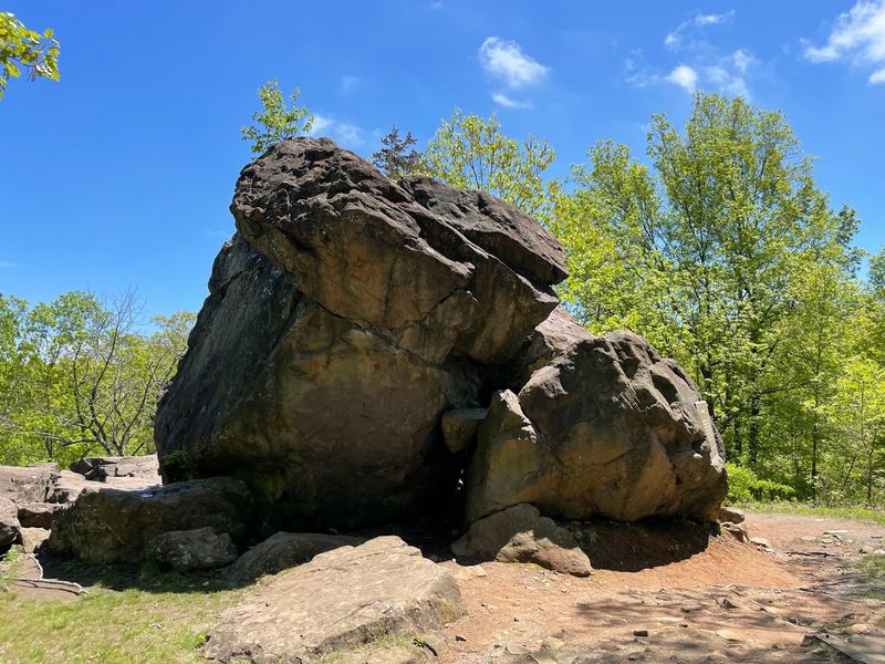
Two men who helped condemn King Charles I reportedly hid in a boulder formation here in the 17th century, and the trail carries their story in its name. Judges Cave still sits along the route, a lumpy pile of traprock that draws curious hikers year-round.
The Regicides Trail runs entirely inside West Rock Ridge State Park, covering roughly seven to 7.3 blue-blazed miles across the park’s long ridge. Footing is uneven and rocky throughout, so sturdy boots earn their keep.
Cliffside walking is the draw. On the western side, the reservoirs and forests of Woodbridge and Bethany spread out below, while the eastern edge drops away toward the Farm Brook Reservoir.
South Overlook gathers the best of it into one panorama: Sleeping Giant, East Rock Park, New Haven Harbor, and a distant glint of Long Island Sound. A shorter 1.8-mile loop with 258 feet of gain makes a moderate alternative for anyone short on time.
Park access is at 29 Main Street, Hamden, CT 06518. West Rock Ridge protects one of state’s highest concentrations of rare and protected species, and the same warm, ledgy terrain that supports those plants and animals also suits copperheads.
Scan ledges before sitting, keep hands off blind rock crevices, and give any coiled, patterned snake a wide berth as you pass.
4. Teacher’s Trail At West Hartford Reservoir, West Hartford
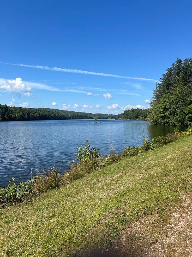
Not every trail on this list demands scrambling. The West Hartford Reservoirs give walkers, runners, and cyclists a whole network of paths across Metropolitan District Commission land, with the blue-blazed Metacomet Trail threading through the property.
North of Route 44, along Reservoir #6, a stretch of the Metacomet Trail widens into a graveled path roughly 1.6 miles long. Level footing and an open corridor make it one of the friendliest sections in the region for a relaxed outing, a stroller, or a slow warm-up before something steeper.
The main entrance is at 1420 Farmington Avenue, West Hartford, CT 06117, and the reservoir grounds stay popular with local families through the fall.
Here is the catch. West Hartford sits in Hartford County, one of three counties where copperheads are most abundant, and the Metacomet Trail as a whole is recognized as habitat where these snakes may be present.
Wide gravel is easy to scan, but the rock walls, leaf litter, and brushy edges beside it are not. Copperheads rely on camouflage and typically freeze rather than flee, which is why so many encounters happen when someone steps off the path or reaches into a stone pile.
Keeping to the graveled surface, leashing pets, and pausing to look before stepping over logs handles almost all of the risk in September.
5. Castle Craig Trail At Hubbard Park, Meriden
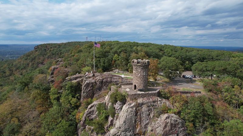
The view hits fast. High above Meriden, Castle Craig crowns East Peak, its stone tower giving the Hanging Hills an unmistakable landmark. Getting there on foot adds the fun.
The Metacomet Trail passes directly by the tower, tying this climb into a much longer route along the traprock ridge. Within Hubbard Park, hikers can choose approaches that range from gentler walking to steep, rocky climbs, so the experience changes dramatically with the route.
At the summit, broad views sweep across Meriden and the surrounding hills. On especially clear days, the panorama can stretch toward New Haven, Long Island Sound, and the distant Berkshires.
Autumn makes the overlook even more striking as color spreads across the valley below.
The tower itself dates to 1900 and was built from native traprock. Its position on East Peak puts the observation deck about 1,002 feet above sea level, high enough to make the surrounding landscape feel surprisingly expansive.
Hubbard Park begins at 999 West Main Street, Meriden, CT 06451, with lawns and recreation areas below the wooded slopes.
This ridge country also matches habitat favored by copperheads, which state wildlife officials say are most abundant along the Central Lowland traprock ridges.
Staying on marked trails and watching hand and foot placement around sunny ledges keeps the hike safer without taking away from the views.
6. Chauncey Peak Trail At Giuffrida Park, Meriden
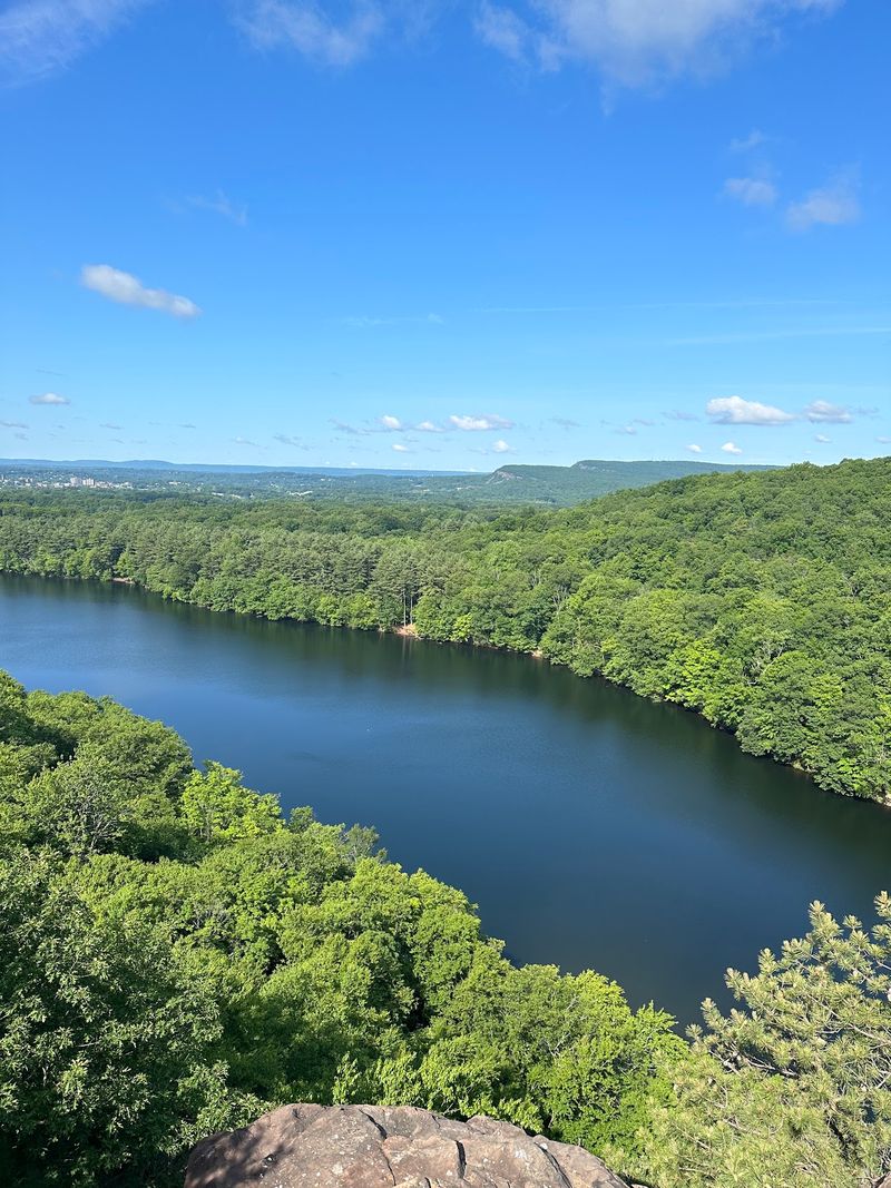
The drop feels dramatic. From the ridge, sheer traprock walls make Crescent Lake look much farther below.
Up high, the trail feels bold and open, with rewarding views appearing surprisingly early. Giuffrida Park covers 598 acres, while Chauncey Peak reaches 688 feet above sea level.
The park entrance is at 800 Westfield Road, Meriden, CT 06450.
Depending on your direction from the parking area, the hike can begin with a steep push over rocky ground. Once that opening climb eases, the route becomes more manageable and continues toward a string of overlooks.
Views stretch across Crescent Lake toward the distant Hanging Hills. Nearby summits rise beyond the water, adding more depth to the scenery.
One popular Chauncey Peak loop runs about 2.2 miles, though longer combinations through the park can extend the outing considerably. The terrain ranges from moderate walking to steep ridge sections, so careful footing matters near exposed edges.
The mountain also belongs to the Metacomet Ridge system, known for its distinctive traprock geology and varied habitats. Warm basalt slopes and rocky hillsides match the kind of terrain copperheads favor in the state.
Staying on marked trails is the smart move. Around sunny ledges, watch where hands and feet land, and enjoy the overlooks without wandering onto loose rock just for a better photo angle along the way.
7. Metacomet Trail At Penwood State Park, Bloomfield
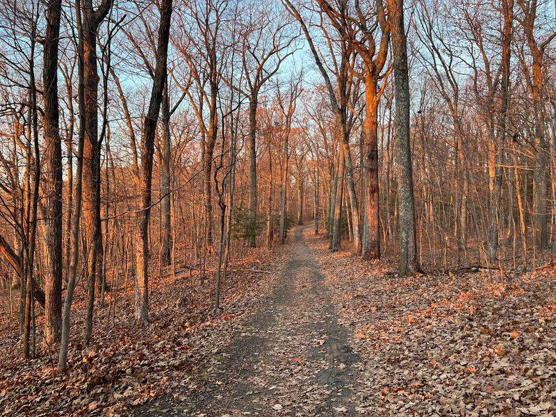
Quiet is the main currency at Penwood. Nearly 800 acres of woodland spread across the top of Talcott Mountain, and the trails here wander past ponds and through thick forest rather than clinging to open cliff edges the whole way.
Eight designated hiking trails cross the park, and a substantial stretch of the blue-blazed Metacomet Trail runs through it, following a ridge above the Farmington River Valley for roughly 7 moderate miles.
The overlooks above Lake Louise draw the most attention, though the geology deserves equal billing: basalt scree walls and glacial erratics left behind by ice sheets sit scattered through the woods.
Wildlife sightings are part of the experience too. Black bears live in this area, and several snake species use the rocky slopes, so paying attention to your surroundings pays off in both directions.
Loop options inside the park range from 2.4 to 6.5 miles, with a few technical sections mixed in among the easier walking.
To find the main entrance, follow Route 185 toward Simsbury and watch for the park on the right at the crest of a hill; 560 Simsbury Road, Bloomfield, CT 06002 works as a navigation reference.
Bloomfield sits in Hartford County along the Central Connecticut Lowland ridges, where copperheads are more prevalent, and scree slopes like these are classic habitat worth scanning carefully.
8. Tower Trail At Talcott Mountain State Park, Simsbury

Heublein Tower has stood watch over the Farmington River Valley for generations, and the walk up to it remains one of the most beloved outings in the Farmington Valley. The Tower Trail leads straight to that landmark, climbing through dense forest before opening onto rocky ridgeline.
Views from the tower area sweep across the valley and stretch well beyond on clear days, which is why the trail draws steady traffic every fall weekend.
A commonly hiked version links the Tower Trail into a moderate 5.4-mile loop with 727 feet of elevation gain, typically taking around two and a half hours at a relaxed pace.
Park access runs along Summit Ridge Drive, Simsbury, CT 06070. Arriving early on September weekends helps, since parking fills quickly once the weather turns crisp.
Terrain shifts between shaded woodland and exposed rock, and that second category matters for snake awareness. Talcott Mountain belongs to the Metacomet Ridge, a natural corridor recognized as copperhead habitat, and the Metacomet Trail itself crosses paths with Heublein Tower.
Simsbury also lies in Hartford County, one of the areas where copperhead populations are known to be more abundant.
None of that should scare anyone off. Copperheads are shy, they hold still rather than chase, and most accidental bites involve hands or feet placed where eyes never looked first.
9. Pinnacle Rock Via Metacomet Trail, Farmington
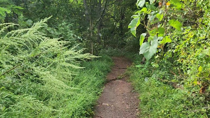
The climb gets interesting fast. Rocky ledges rise ahead, and the views start opening before the trail has time to feel routine.
High above the valley, Pinnacle Rock reaches about 600 feet and gives hikers a broad west-facing outlook toward Farmington and the distant Berkshires.
The blue-blazed Metacomet Trail crosses the summit as part of its 62.3-mile route through the state. From here, the ridge continues toward Rattlesnake Mountain, where another dramatic overlook and tall broadcast towers stand nearby.
History adds another reason to keep going. Will Warren’s Den, a boulder cave tied to local legend, sits along this section, while concrete pads and fencing mark remnants of a former Cold War radar site that once served the Hartford area.
The terrain begins with a steep pull, then rolls across rocky ground with repeated climbs and descents. A longer outing linking Rattlesnake Mountain, the cliffs, and Pinnacle Rock can stretch past five miles and feel demanding despite the modest summit height.
For the northern approach, a small Route 6 pull-off is near 200 Colt Highway, Farmington, CT 06032. Blue blazes are also accessible from the Plainville side.
Warm, exposed traprock ledges create habitat favored by copperheads, so careful hand and foot placement matters. Staying on the marked route also helps protect the ridge’s unusual plant communities during the hike.