9 Of Connecticut’s Longest Bike Trails With Surprisingly Beautiful Scenery
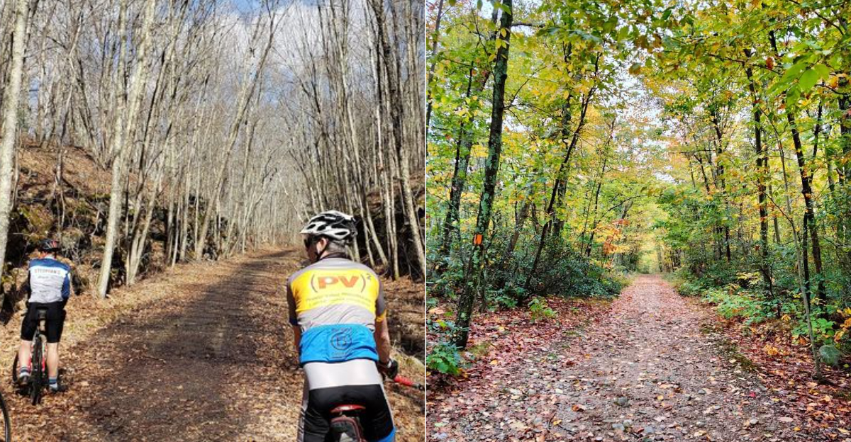
Long bike rides become more interesting when the scenery changes mile after mile.
Old rail corridors carry cyclists past wetlands and through forest. The surface may feel easy, but the distance adds a challenge.
Connecticut offers extended bike trails where river views and historic bridges make every mile feel different along the way.
One route follows a former railroad through rural towns, while another traces a canal path beside shaded neighborhoods. You might roll beneath tall trees, then emerge beside open water minutes later. That contrast keeps the ride from feeling repetitive.
These trails reveal parts of the state that drivers usually miss. Stone walls appear beside the path.
Small trail towns provide glimpses of local history without interrupting the peaceful pace.
Seasonal changes make repeat rides worthwhile. Spring brings greener scenery, while fall covers the route with bright leaves.
Even a long day in the saddle can pass quickly when the view keeps giving you another reason to continue.
1. Air Line State Park Trail, Pomfret
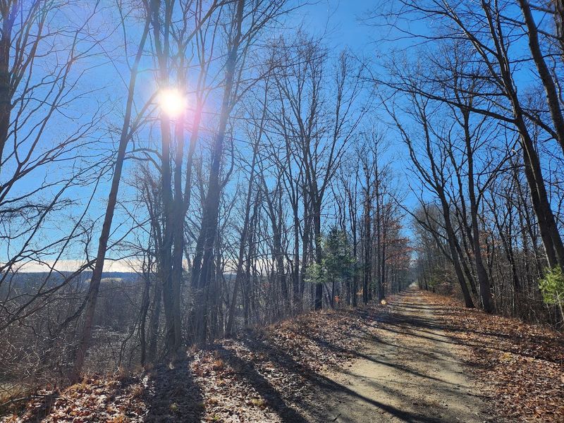
Built on a former railroad corridor, this long-distance route offers an easygoing ride through forests, wetlands, river crossings, and small-town scenery.
The Air Line State Park Trail extends for more than 60 miles across the eastern part of the state, with the Pomfret access point providing a convenient place to begin a southbound trip toward Willimantic.
Cyclists can expect a mostly gentle grade, a welcome benefit of the trail’s railroad past. Surfaces vary along the way, shifting from compacted stone dust and gravel to packed earth and rougher patches of old rail ballast.
Hybrid and mountain bikes are usually better suited to these changing conditions than narrow-tire road bikes, especially farther north.
Because the climbs remain mild, the route works well for families, casual riders, and cyclists easing back into longer outings without having to tackle steep, punishing climbs.
The scenery keeps the journey interesting from one mile to the next. Shaded woodland sections open onto broad wetlands, while historic railroad bridges and peaceful waterways add character to the ride.
Farther south, the trail crosses the Blackledge and Jeremy Rivers and passes near several protected natural areas, creating the feeling of traveling through a much wider landscape.
Parking and trail information are available near 13 Railroad Avenue in Pomfret. From there, riders can follow the corridor south for roughly 19 miles toward Willimantic, choosing a comfortable turnaround point or completing the full stretch.
Spring greenery, summer shade, and brilliant fall foliage each give this rewarding rail trail a distinct personality.
2. Farmington Canal Heritage Trail, Simsbury
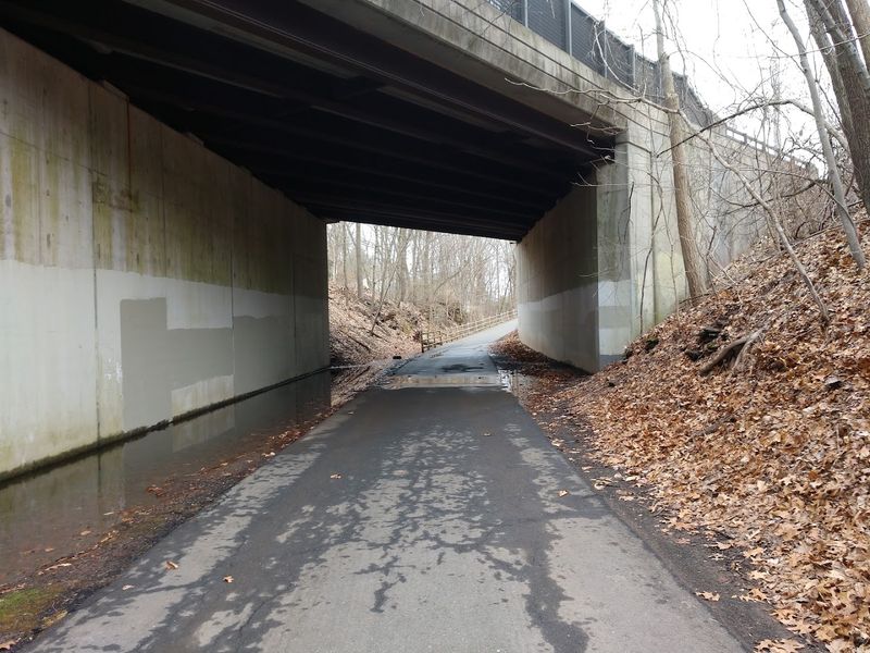
Running along the route of a canal that once moved goods across New England, the Farmington Canal Heritage Trail brings history and natural beauty together in a way that feels genuinely satisfying to explore.
Stretching approximately 40 miles and connecting to additional miles across the border, this mostly paved route offers one of the longest accessible rides in the state.
The path begins in Suffield in the north and reaches Southington in the south, passing through a mix of urban neighborhoods, quiet suburbs, and open rural stretches.
Starting from 16 Railroad Street, Simsbury, CT 06070, riders find a clearly marked parking area and easy access to the trail’s smooth asphalt and crushed stone surface.
The flat grade makes this one of the more approachable options for casual cyclists, and the wheelchair-accessible sections mean that more people can enjoy it regardless of mobility.
Connecting to the Farmington River Trail at both ends also creates the possibility of forming a 28-mile loop for those wanting a longer day out.
Along the way, remnants of old canal locks and aqueduct fragments appear beside the path, serving as quiet reminders of the infrastructure that shaped this region centuries ago. The trail passes through town centers where benches and shaded spots invite a short rest before continuing.
Seasonal changes transform the tree-lined corridor throughout the year, with spring blossoms and autumn color adding visual depth to what is already a well-maintained and consistently enjoyable route.
3. Hop River State Park Trail, Manchester
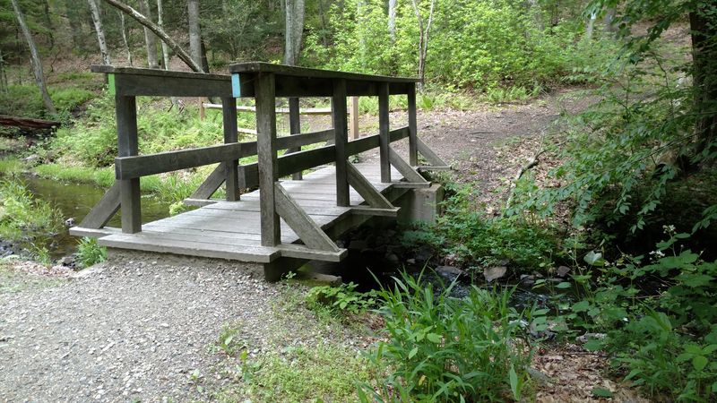
Railroad history gives this woodland ride much of its character. Old utility poles remain beside parts of the route, while deep rock cuts reveal where crews carved a passage through the hills.
Those stone walls provide shade, turning warm-weather rides into cooler outings.
The Hop River State Park Trail follows a former rail corridor for roughly 20 miles between Manchester and the Windham area. Its mostly level grade makes longer trips approachable, although the riding surface changes along the way.
Crushed stone and compacted earth cover much of the path, with rough patches that favor hybrid or mountain bikes over road tires.
A convenient western starting point can be found at 178 Colonial Road in Manchester, where parking and trail information help riders begin the journey east. From there, the route passes wooded stretches, wetlands, open fields, bridges, and impressive railroad-era cuts.
Light filters through the trees in shifting patterns, and long sections feel removed from roads and neighborhoods.
One of the most memorable landmarks is the historic tunnel near Bolton Notch, a striking reminder of the corridor’s transportation past. The trail follows the Hop River for much of its course before eventually connecting with the Air Line State Park Trail near Willimantic.
Its role reaches beyond a single recreational path. Portions of the Hop River route form part of the East Coast Greenway, the developing trail network linking communities from Maine to Florida.
That connection gives this scenic ride a larger purpose while preserving its relaxed, distinctly local appeal.
4. Natchaug State Forest Trail Network, Eastford
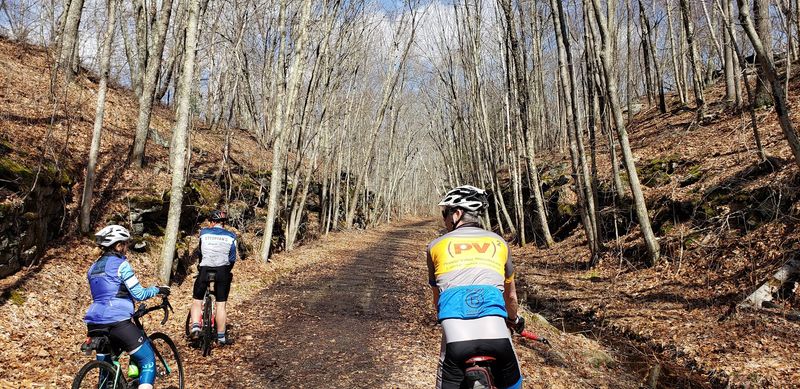
Spanning more than 8,000 acres of woodland in the quiet northeastern corner of the state, Natchaug State Forest is the kind of place that rewards those willing to venture off the smooth paved paths.
The trail network here covers approximately 18.9 miles, with surfaces ranging from packed earth and grass to rocky ledge and rooty singletrack that keeps mountain bikers fully engaged.
The terrain shifts between flat riverside stretches and rolling hills, offering a genuinely varied experience across a single outing.
The forest entrance along Kingsbury Road, with 109 Kingsbury Road, Eastford, CT 06242 serving as a reference point, leads riders into a landscape thick with mixed hardwoods and quiet natural corridors.
The CCC Trail follows the Natchaug River for long stretches, revealing rocky banks, old stone walls, and the kind of stillness that feels rare close to populated areas.
Riders and hikers share the space with turtles, beavers, and a wide range of bird species that populate the wetland edges throughout the warmer months.
A stone chimney and fireplace standing in the woods mark the site of Union General Nathaniel Lyon’s birthplace, offering a small but meaningful historical moment amid the natural surroundings.
The forest recreation areas open at 8 am and close at sunset, with some sections accessible slightly earlier and later.
Because the network accommodates mountain bikers, trail runners, and equestrians, the atmosphere feels shared and purposeful rather than crowded. Natchaug is a place where each visit tends to reveal something that was missed the last time around.
5. Mansfield Hollow State Park Trail Network, Mansfield
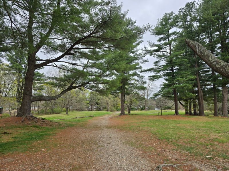
Mansfield Hollow State Park holds a kind of geological story that most visitors only begin to appreciate once they are moving through it.
The trail network here covers approximately 18.6 miles across terrain shaped by the last Ice Age, featuring kames, eskers, and pine-covered bluffs that give the landscape an unusual and compelling texture.
Surfaces range from packed earth and gravel to paved sections, offering a variety of experiences depending on which part of the network a rider or walker chooses to explore.
The park entrance at 151 Bassetts Bridge Road, Mansfield, CT 06250 sits near a boat launch and parking area, making it a convenient and well-organized starting point for a day on the trails.
Mansfield Hollow Lake forms the scenic centerpiece of the park, with many trail sections running close enough to the water to offer open views across the surface.
An observation deck on Governor’s Island provides panoramic sightlines over Pine Acres Pond, accompanied by interpretive signs that explain the lake’s history and the wildlife that depends on it.
The Natchaug River flows through the park as well, adding another layer of natural interest to an already varied landscape. Beyond biking and hiking, the lake draws kayakers who want a calm water experience alongside their land-based exploration.
The park is generally open from morning until sunset, giving visitors a generous window to move through its different zones at a relaxed pace. Few parks in the state pack this much geological and ecological variety into a single accessible location.
6. Farmington River Trail, Farmington
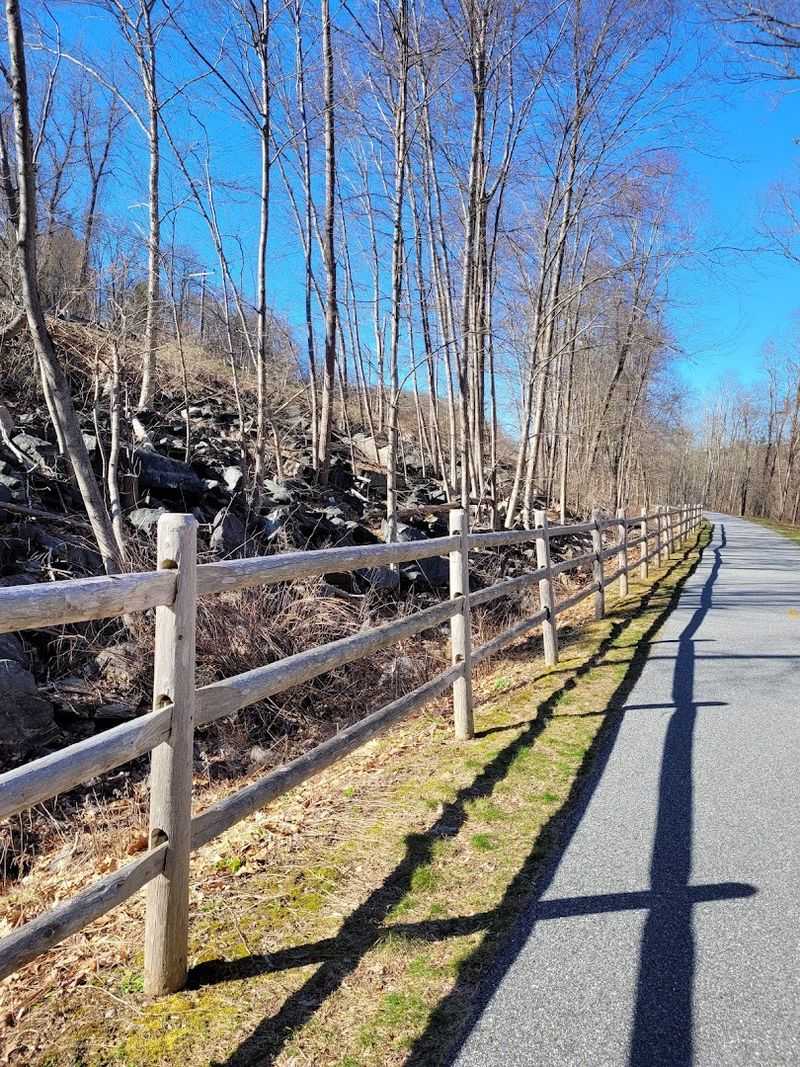
A ribbon of river scenery gives this multiuse route an easy charm, whether the day calls for a relaxed spin or a cycling loop.
The Farmington River Trail covers about 17 miles, combining paved stretches with crushed stone, short road connections, and a rougher section through Stratton Brook State Park.
Most of the route feels comfortable and approachable, while the changing surfaces keep the ride from becoming predictable.
The most memorable miles follow the Farmington River, where wooded banks, moving water, wetlands, and occasional wildlife create a peaceful backdrop. Great blue herons may appear near quieter sections, and historic mill buildings add another layer of character beside the greenery.
Bridges and boardwalk-style crossings help carry riders through damp areas while preserving the surrounding landscape.
A practical access point can be found near 210 River Road in Unionville, with parking beside the trail and connections in either direction. From here, cyclists can explore the river corridor, continue toward Simsbury, or link with the Farmington Canal Heritage Trail.
Using both trails creates the possibility of a much longer loop for riders who want to extend the day.
Part of the river carries National Wild and Scenic status, a designation that reflects its environmental and recreational importance. That protected setting adds depth to a beautiful outing.
Rather than rushing through the full distance, many visitors pause at river overlooks, shaded woodland sections, and historic points along the way. Dogs are permitted on leash, making the trail a welcoming option for shared outdoor adventures.
7. Charter Oak Greenway, Manchester
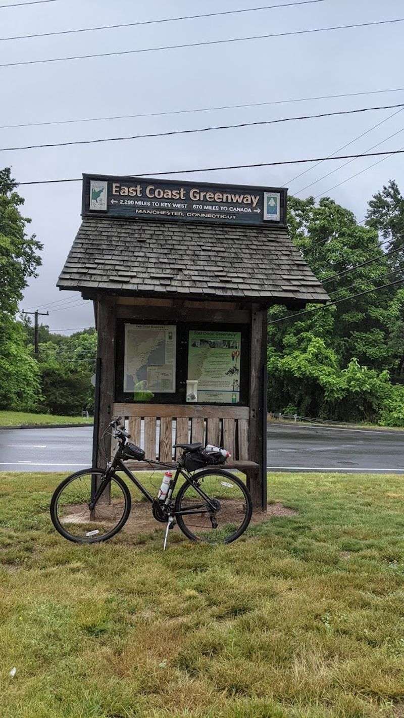
Stretching for over 16 miles through eastern Connecticut, the Charter Oak Greenway covers more ground and more variety than most riders expect from a paved suburban trail.
The path moves through college campuses, community parks, commercial corridors, and dense forest sections that feel genuinely removed from the surrounding development.
One of the most memorable stretches descends into the Birch Mountain Brook stream valley, where a quietly rushing brook runs alongside the pavement and tall trees close in overhead, muffling the noise of nearby roads.
Access to this section of the greenway is available at Camp Meeting Road, Manchester, CT 06040, where clear trail signage and a marked entrance make it easy to get oriented before heading out.
The trail is fully paved for most of its length, though a short half-mile on-road segment along Hartford Road and Bidwell Street is necessary to complete the full route.
Some sections of the greenway include noticeable hills, which adds a moderate challenge to what might otherwise be considered a casual ride.
Closer to downtown, the trail opens into a meadow-like utility corridor with tall grasses on both sides, creating a brief but striking change of scenery before the path transitions again into a more developed environment.
As part of the East Coast Greenway network, this route connects to a trail system that runs from Maine all the way to Florida, giving it a significance that extends well beyond its local appeal.
Riding the full length offers a genuinely layered experience that keeps the surroundings from ever feeling repetitive.
8. Pequonnock River Trail, Trumbull
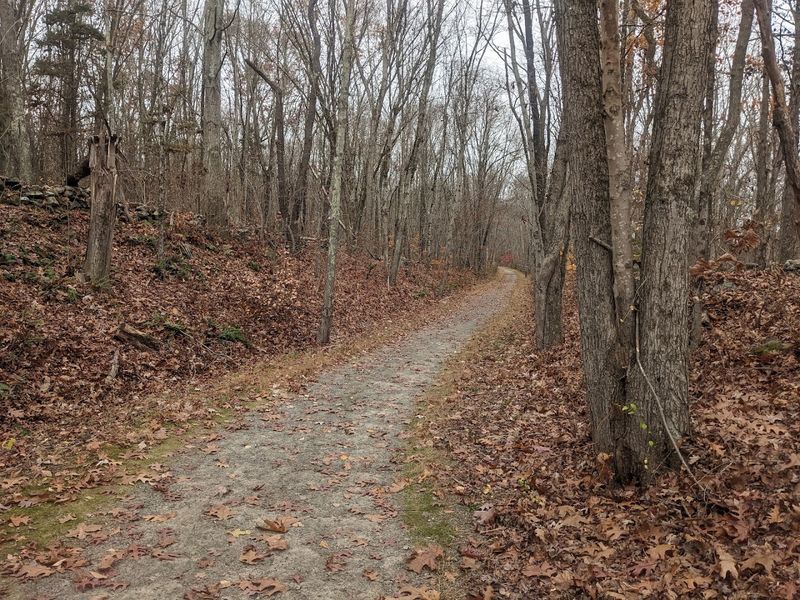
River views take center stage on this greenway, where wooded rail-trail segments meet parks, neighborhood connections, and urban stretches.
The developing Pequonnock River Trail extends about 16 miles from Bridgeport through Trumbull and Monroe toward the Newtown line, although gaps and on-road portions mean the experience changes from one section to the next.
Some of the most scenic riding unfolds in Trumbull, where the route follows an old railroad bed above the Pequonnock River. Rocky ledges open to views of rushing water, exposed stone, and forested slopes below.
The surface alternates between pavement and crushed stone, while the central and northern portions generally offer an easy grade. Farther south, hills, street crossings, and disconnected segments call for closer attention.
Parking is available near 126 Whitney Avenue in Trumbull, providing direct access to the wooded corridor. From this point, riders can explore the river valley, continue toward Old Mine Park, or connect with community paths.
The park’s dense tree cover creates a quieter atmosphere and helps separate the trail from surrounding suburban development.
Twin Brooks Park adds ponds, open lawns, and seasonal wildflowers to the journey, while the route farther south reaches the Beardsley Park area in Bridgeport. Together, these changing landscapes give the trail far more variety than a typical straight rail corridor.
Maintenance work or temporary closures may affect individual sections, so checking local notices before a longer outing is worthwhile. Even with its developing connections, the trail remains a rewarding way to experience riverside scenery across several communities.
9. Rockland Challenge XC Loop At Rockland Preserve, Madison
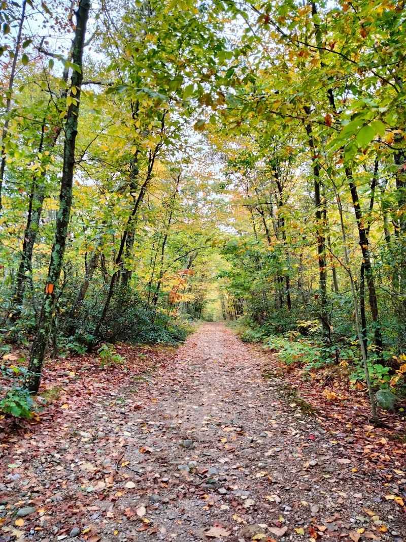
Rocky terrain, fast-flowing singletrack, and quiet pond views give this preserve remarkable variety within one trail network. Rockland Preserve spans roughly 650 acres in Madison and includes about 40 miles of routes for mountain biking, trail running, hiking, and other non-motorized recreation.
Riders can choose anything from approachable entry loops to demanding climbs, ledges, roots, boardwalks, and technical descents.
The Rockland Challenge XC Loop covers approximately 15 miles and links numbered markers throughout the system. Its constantly changing surface moves between packed earth, exposed stone, narrow woodland track, and wetland crossings.
Gray cliffs and rugged ridgelines create a dramatic backdrop, while shaded stretches beside Coan Pond bring a calmer rhythm to the ride.
Newer riders will find a practical starting point at 99 Renee’s Way in Madison. The nearby Bee Line access leads toward the Erratica Loop, which is recommended for beginners learning the network.
More experienced cyclists often begin from the Route 79 lot or the Dead Hill Road entrance, where challenging options such as Mag-5 and the Pisgah Trail test balance, endurance, and bike-handling skills.
Open meadows occasionally break through the forest, adding broader views and seasonal color. Calm mornings can turn Coan Pond into a mirror for the surrounding trees, making it one of the preserve’s most memorable natural features.
Volunteer builders created and continue to care for the singletrack system, and their work is evident in its thoughtful layout and flowing design.
Because difficulty varies considerably, checking a current map and choosing loops carefully helps every visitor enjoy the preserve at a comfortable level and pace.