10 Idaho Hiking Trails Locals Avoid In September Because The Rattlesnakes Are Too Active
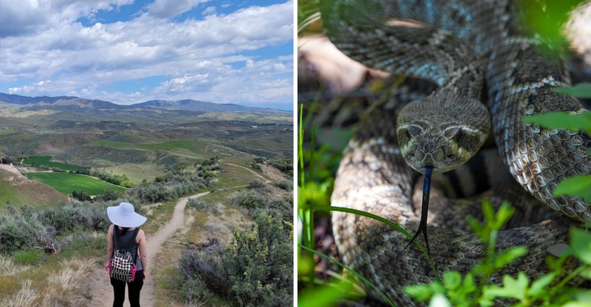
September can fool you. The mornings feel cooler, the trails look inviting, and it is easy to assume snake season is winding down.
Not quite. Warm afternoons can still bring rattlesnakes out in Idaho, especially along dry slopes and rocky stretches where they blend in far better than most hikers expect.
That does not mean skipping the trail or turning every step into a nervous one.
It simply means paying attention, giving rocky edges a little more space, and remembering that warm weather can keep snakes active later than expected.
I actually think that awareness makes a hike feel smarter, not scarier. You can still enjoy the views, the quieter trails, and that early fall feeling without dropping your guard.
These ten routes cross the kind of country where rattlesnakes may still be active in September, so each one deserves steady steps, open eyes, and a little extra respect outdoors.
10. Table Rock Trail
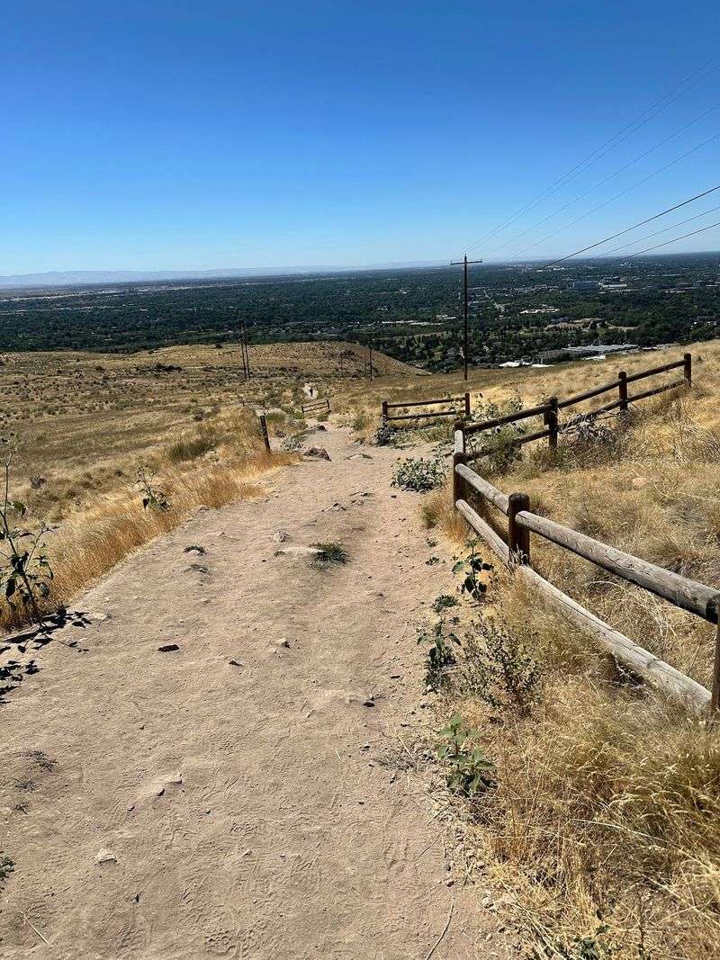
Climbing toward that famous flat-topped mesa above the capital city is a rite of passage for anyone who lives nearby.
The 3.8-mile loop gains steady elevation across open sagebrush slopes, rewarding you at the top with a sweeping look over the Treasure Valley, the winding river, and rooftops stretching into the distance.
Those same sun-warmed slabs of sandstone and scattered rock piles make excellent basking spots for rattlesnakes in early fall.
Snakes seek stored heat late in the season, and rocky edges just off the path are exactly where they settle.
Parking for Table Rock is available at the Old Idaho Penitentiary lot at 2421 Old Penitentiary Road, with another trailhead near Warm Springs Golf Course.
Smart hikers here start early, before the rock radiates warmth, and stick tightly to the packed dirt tread instead of cutting corners through brush.
Bring more water than you think you need, since shade is nearly nonexistent on the ascent. Keep dogs leashed, listen for that dry buzzing sound near your ankles, and step onto rocks rather than blindly over them.
The view at sunset is spectacular, though the descent in fading light adds risk worth weighing carefully.
9. Lower Hulls Gulch Trail
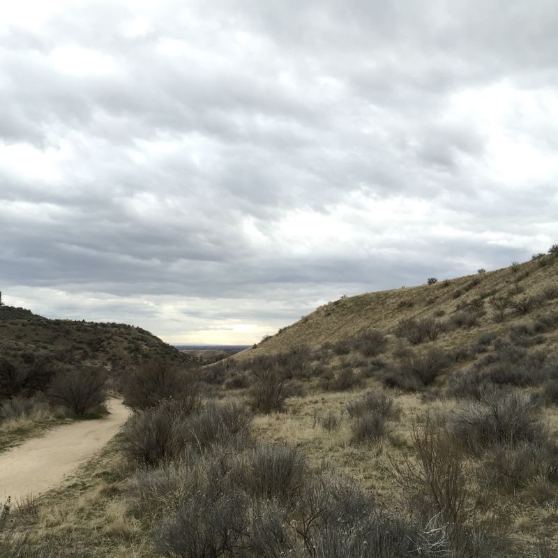
Water changes everything on a desert trail. Following Hulls Creek through the lower foothills, this path threads past willows, cottonwoods, and shaded pockets that feel almost like a different climate from the dry ridges above.
Trail access depends on the date: hikers and equestrians may use Lower Hulls Gulch on even-numbered days, while odd-numbered days are reserved for downhill mountain bikes.
Rattlesnakes favor the brushy transition zones between the creek and the open slope, especially where warm rock meets tall grass.
A small Lower Hulls Gulch trailhead sits on Sunset Peak Road, about three miles beyond the end of pavement on 8th Street.
September mornings along the creek can be genuinely chilly, which is exactly when snakes stretch out on the sunniest patch of ground they can find.
A useful habit: scan three or four steps ahead rather than at your feet, and give any coiled shape a wide, calm berth. Snakes almost always retreat when given room.
Pack a light snack, since the shaded benches near the water make a pleasant spot to pause before turning back toward the trailhead.
8. Military Reserve Trails
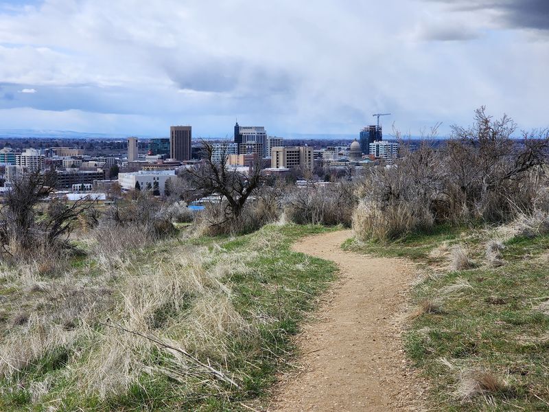
Ten minutes from downtown offices, the hills open up into a surprisingly wild pocket of rolling terrain, grassy draws, and quiet gullies.
Runners squeeze in loops on their lunch breaks, and families walk the gentler lower paths after school.
City limits mean nothing to wildlife. The reserve supports the same creatures found across the foothills of Idaho, rattlesnakes included, and the brushy hollows tend to hold them longest into autumn.
A primary access point sits just off Mountain Cove Road in Boise, with a small lot and clear signage at the entrance.
Warm afternoons in September bring snakes out onto the packed dirt, where the ground holds heat far better than surrounding grass.
Keep dogs under control and prevent them from investigating thick brush or rock crevices where snakes may be difficult to see. Closed shoes beat sandals every time here.
The trail network branches often, so grab a map at the kiosk or download one beforehand. Cottonwoods along the lower creek corridor turn butter yellow by late month, which makes an early morning stroll worth the extra caution.
7. Polecat Loop
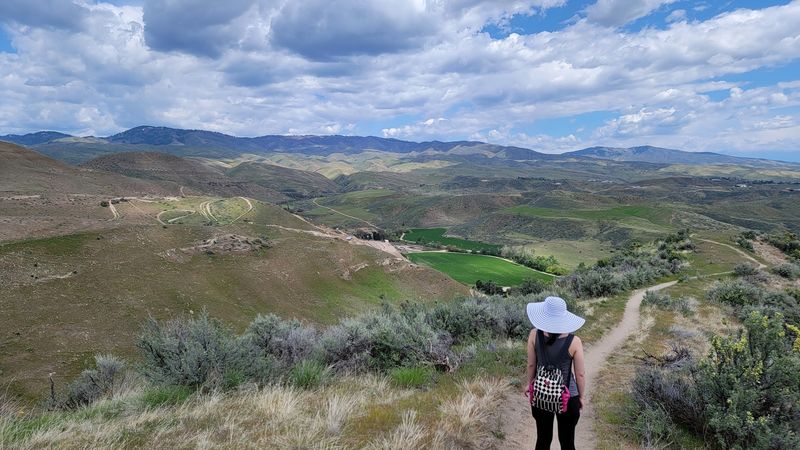
Smooth, buffed singletrack is the calling card of this 5.8-mile circuit through Polecat Gulch Reserve.
Gentle grades make it a favorite for joggers building distance, and the loop rolls around open hillsides with long looks across the Treasure Valley.
Wide-open exposure comes at a price. The bunchgrass and sagebrush that create those panoramas also create prime rattlesnake habitat, and the trail’s smooth surface offers snakes an easy, warm place to stretch out.
Parking is available at the Polecat Gulch-Collister Trailhead, at the end of Collister Drive, where a modest lot fills quickly on pleasant weekends.
Hikers moving fast are the ones most likely to be surprised, simply because a running pace leaves little time to react.
Slowing down through curves and blind corners solves most of the problem. Watch the trail ahead, avoid reaching into brush or rock gaps, and give any snake you encounter plenty of room to move away.
Carry a full bottle, because shade is essentially absent across the whole loop.
Follow the required clockwise direction on Polecat Loop throughout 2026, as all trail users must travel the designated direction.
6. Red Cliffs Trail
Short trails often deliver the biggest payoff per mile, and this one proves it.
The route curls beneath warm-toned rock formations with fine views back toward the city and down into Hulls Gulch, making it a natural add-on to a longer foothills outing.
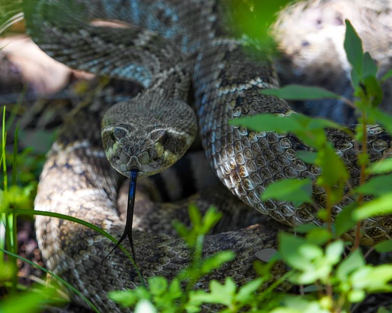
Rock is the whole story here, both for scenery and for safety. Sun-heated ledges and crevices hold warmth well past sundown, which draws rattlesnakes into the very features that make the trail photogenic.
Access comes from the Lower Hulls Gulch Trail, with parking at the Hulls Gulch Trailhead, 3001 Sunset Peak Road, Boise.
Because the loop connects to busier routes, some hikers rush through without registering how rocky the edges are.
Take the extra beat to look before sitting on a boulder or reaching a hand onto a ledge for balance. Photographers should watch where tripod legs land.
Late September light turns the cliffs a deep amber around an hour before sunset, though heading out at that hour means sharing the path with snakes still soaking up the last warmth of the day.
5. Jump Creek Falls Trail
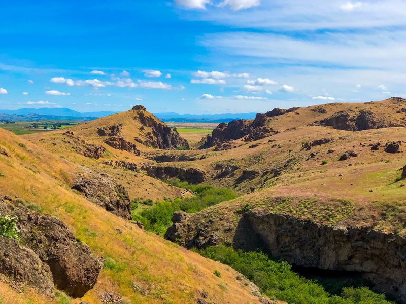
A waterfall in the middle of high desert country feels almost impossible until you round the last boulder and see it.
Water drops into a clear pool ringed by dark canyon walls, and the temperature seems to fall ten degrees the moment you step into the shade.
Getting there means scrambling over rocks and squeezing between boulders along the creek.
The canyon traps heat, creating a warm microclimate that suits rattlesnakes perfectly, and poison ivy grows thick in the damp corners as an added reason to watch your hands and ankles.
Reach the trailhead by following Jump Creek Falls Road, roughly 3.5 miles west of the Highway 55 and US 95 junction near Marsing.
The hike itself is short, well under a mile, but the terrain demands attention with every step.
Wear long pants and sturdy shoes with real grip. Avoid placing your hands into unseen gaps between rocks, and watch carefully for poison ivy along the creek and trail.
Bring a picnic to enjoy near the pool, then pack everything out, since the canyon stays beautiful only because visitors leave it clean.
4. Celebration Park Trails
Ancient carvings pressed into dark basalt boulders make this stretch of river country unlike anywhere else in the state.
Designated as the region’s only archaeological park, the grounds invite slow walking, close looking, and a real sense of standing where people stood thousands of years ago.
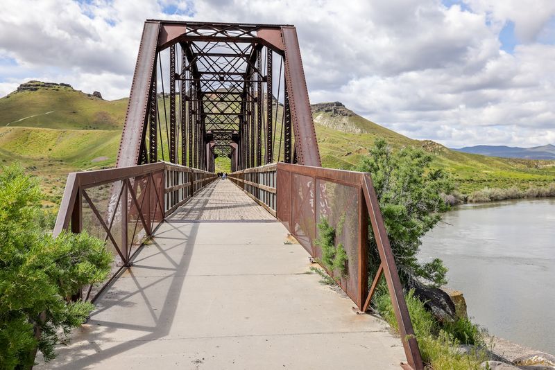
Trails wander between melon gravel boulders and along the Snake River, passing interpretive markers and the old Guffey Railroad Bridge.
Those same boulder fields are classic rattlesnake terrain, offering shade, warmth, and rodents all in one place.
Follow Sinker Road toward the historic bridge near Melba to find the park entrance and visitor area.
Families make up much of the traffic here, so a quick talk with kids about staying on the path pays off before you start walking.
Stick to the main interpretive route rather than wandering into the tumbled rock, and never step into a gap you cannot see into. Bring a hat, water, and a snack, since services are limited and the sun sits heavy over open ground.
Mornings offer the best light for spotting the faint petroglyph lines.
3. Halverson Lakes Traila
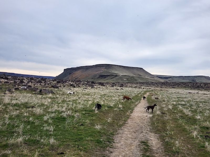
Several miles of non-motorized trails explore Halverson Bar and two shallow lakes along the Snake River beneath basalt cliffs and sand dunes.
The path traces the Snake River before bending toward a still pond set against a tall canyon wall, where herons stalk the shallows and the wind carries the smell of dry grass and warm stone.
Sharing a landscape with its better-known neighbor means sharing its wildlife too. Rattlesnakes thrive across this river corridor, particularly around rocky outcrops and thick brush where the trail narrows.
Access generally runs through Celebration Park, with parking at the park entrance on Sinker Road, Melba, before you head out along the river route.
Footing varies from sandy to loose and rocky, so ankle-supporting shoes make the walk far more comfortable.
Because the loop sees fewer people than nearby paths, tell someone your plan and carry a charged phone. Signal can be patchy down in the canyon.
Warm September conditions can keep rattlesnakes active, so hikers should stay attentive around the area’s basalt boulders and rocky slopes. Plan a morning trip and enjoy the stillness instead.
2. Snake River Trail
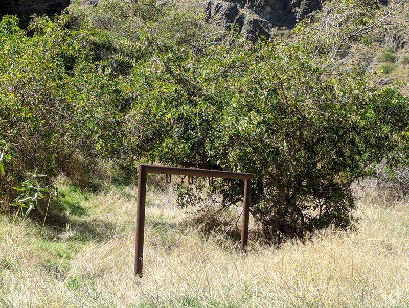
The Snake River National Recreation Trail begins at Pittsburg Landing and follows the Idaho side of Hells Canyon for about 26 miles. Steep bunchgrass slopes rise thousands of feet overhead while the river churns green and steady below.
Solitude is the reward and also the complication. Help is far away, and this corridor within the Hells Canyon National Recreation Area sits squarely in rattlesnake country, with fall encounters common along the warm, rocky benches.
Access begins at Pittsburg Landing, following the Snake River National Recreation Trail #102 downstream from the parking area.
Experienced backpackers here treat snake awareness as routine, the same way they treat water filtering or checking the weather.
Gaiters and boots offer solid protection, and a slow pace through tall grass gives snakes time to move. Carry a real map, plenty of water, and a first aid kit.
Camp on open, cleared ground rather than beside rock piles. Few places in this part of the country deliver such raw, uninterrupted scenery, and preparation is what makes enjoying it possible.
1. Pittsburg Landing Trails
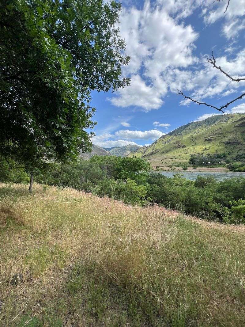
Every great canyon needs a front door, and this riverside spot serves as one for the wild heart of the gorge.
Boat ramps, a small campground, and several trail options fan out from the flats, giving hikers a launching point into steep, sun-drenched country.
Elevation here sits low, which keeps the area noticeably warmer than the ridges above. That extra heat extends snake activity well into September, and rattlesnakes are regularly seen along the bunchgrass benches and basalt ledges.
From the Idaho side, Pittsburg Landing is reached from Highway 95 near White Bird by following Deer Creek Road, also known as Forest Road 493, for about 17 miles.
Snakes in this canyon are not looking for trouble and will defend themselves only when startled or cornered.
Give any snake at least ten feet, back away calmly, and never try to move it. Sturdy boots, long pants, and a headlamp for evening walks around camp round out the essentials.
Sunrise over the canyon rim, with mist lifting off the river, ranks among the finest morning scenes anywhere in Idaho, and it costs nothing but an early alarm.
The quiet setting makes the experience feel even more rewarding before the day fully begins.