Idaho’s Longest Rail Trail Crosses 36 Trestles On Its Way Through The Silver Valley
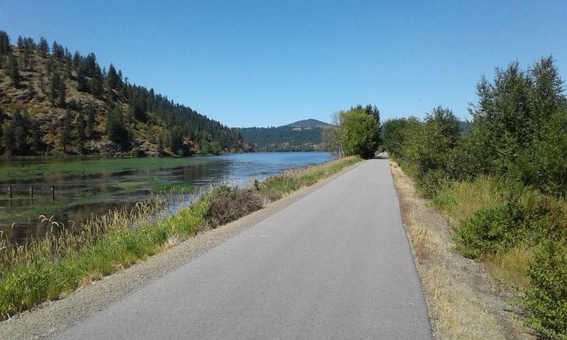
Seventy-three miles of smooth pavement now run where ore trains once rumbled across northern Idaho. The old rail bed climbs from the edge of Montana, rolls past mining towns, crosses a lake, and ends in farm country near Washington.
Along the way it hops over 36 bridges and trestles, each one a small surprise. For anyone who likes easy miles, big views, and a little history under their wheels, this path is worth a closer look.
A Ribbon Across The Panhandle
Mullan sits at the eastern end, close enough to the Montana line that you can almost hear the state border. From there, the Trail of the Coeur d’Alenes stretches roughly 73 miles west to Plummer, near the Washington line.
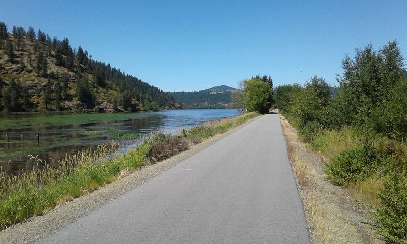
Every inch of it is paved. That detail matters, because many long rail trails in the West are gravel or dirt, which can rattle your teeth and slow down skinny tires.
Here, road bikes and inline skates roll along happily.
The path runs through the heart of Idaho’s Panhandle, following the old Union Pacific corridor through the Silver Valley, along the Coeur d’Alene River, across the chain lakes, and out onto the edge of the Palouse. Few single routes in the state show off so many landscapes in one outing.
Think of it as a sampler plate of north Idaho. Mountains come first, then river bottoms and marshes, then a long lake crossing, and finally rolling farmland.
You can ride the whole thing over a couple of days or pick a short piece for an afternoon, and both approaches feel like a complete trip.
From Ore Trains To Bicycles
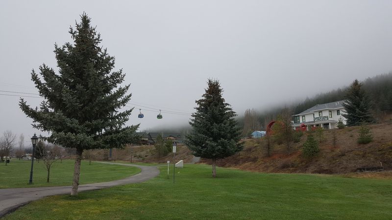
Long before bike bells, this corridor carried the freight that built the Silver Valley. The Union Pacific line hauled ore and timber out of the mountains during the busy mining and logging years, linking remote towns to the wider world.
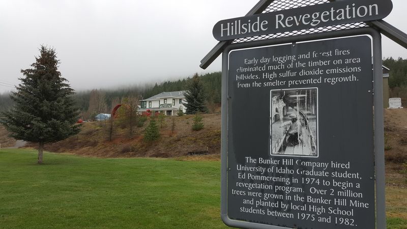
When the trains stopped, the rail bed still carried something less welcome. Decades of mining left contamination in the soil along the route, and turning it into a public path required real cleanup work.
The solution was a partnership. Union Pacific, the U.S.
Government, the State of Idaho, and the Coeur d’Alene Tribe worked together on an environmental restoration project that capped the old contamination beneath the asphalt and gravel. The finished trail opened fully in 2004.
That backstory changes how the ride feels. The smooth surface is not just a convenience; it is part of the protective cap that keeps the ground below sealed off.
Visitors are asked to stay on the trail and use the developed stops, which is simple enough once you know why.
Few recreation projects start with this much history underfoot, and even fewer turn an industrial leftover into something families pack a picnic for.
Thirty-Six Crossings Over Water
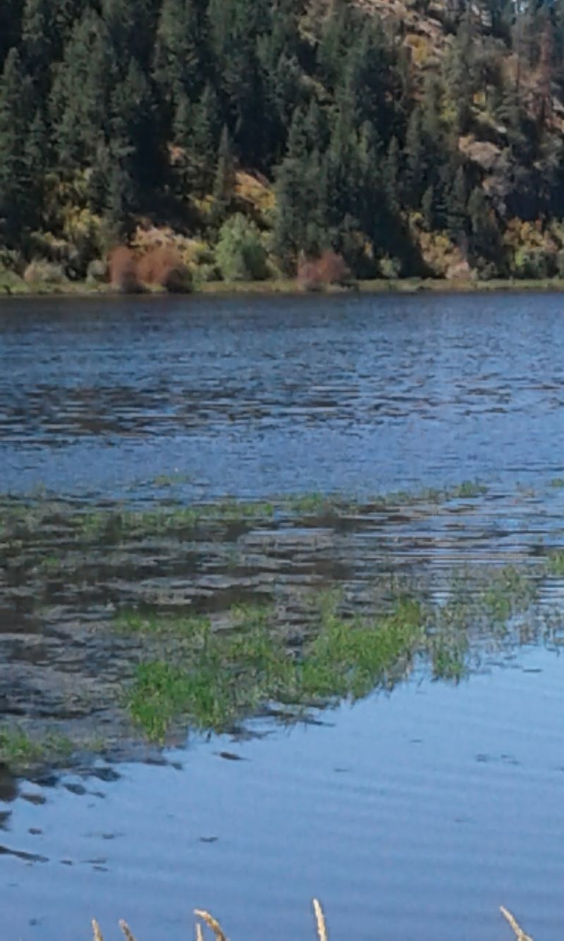
Count them if you like. Riders who go end to end cross 36 bridges and trestles, carrying them over mountain creeks, the Coeur d’Alene River, and quiet lake inlets.
Each one breaks up the rhythm of the ride in a pleasant way. You roll through a stand of trees, the ground falls away, and suddenly there is water below and open sky on both sides.
Kids tend to treat every crossing like a checkpoint in a game, and plenty of grown-ups do too.
The structures reflect the line’s railroad past. Engineers once needed solid spans to carry heavy trains across wet valleys and wandering streams, and many of those crossings now serve cyclists and walkers instead.
Short bridges pop up often in the eastern mountain stretches, where creeks tumble down toward the river. Farther west, the crossings grow longer and more dramatic as the trail meets the lakes.
Keep a camera handy, because the view from the middle of a trestle usually beats the view from either end.
If you only ride a short segment, pick one with a few crossings. They are the moments people remember on the drive home.
Chatcolet Bridge Over The Lake
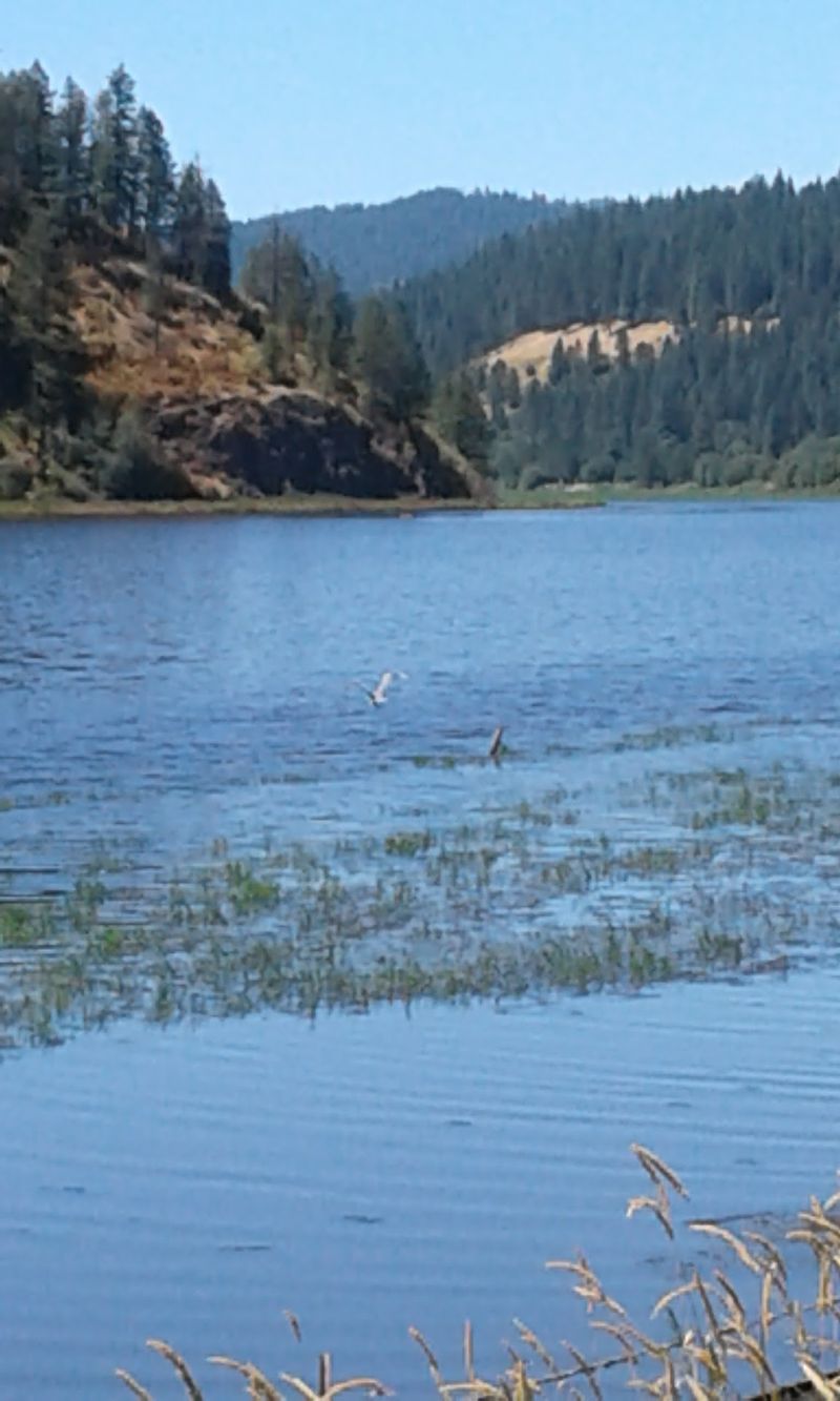
Around 3,100 feet of bridge stretches across the southern end of Lake Coeur d’Alene near Heyburn State Park, and it is the crossing most riders come to see. The Chatcolet Bridge is the showpiece of the entire trail.
Part of the structure is a long wooden trestle. Another part incorporates a section of a former swing-span truss bridge, a design once used so boats could pass while the rails swung aside.
Riding over that old steel framework feels like pedaling through a piece of railroad engineering.
Out in the middle, the lake opens up all around you. Water spreads toward forested shorelines, birds glide low, and on calm days the surface reflects the hills almost perfectly.
Plan to stop. Nearly everyone does, leaning on the rail to take photos or simply watch the water.
On breezy afternoons the wind can pick up out here, so a light jacket earns its space in your bag.
Families who do not want a long ride can still enjoy the bridge with a short out-and-back from the western trailheads. Even a brief walk across gives you the highlight without committing to many miles.
Mountain Miles Near Mullan
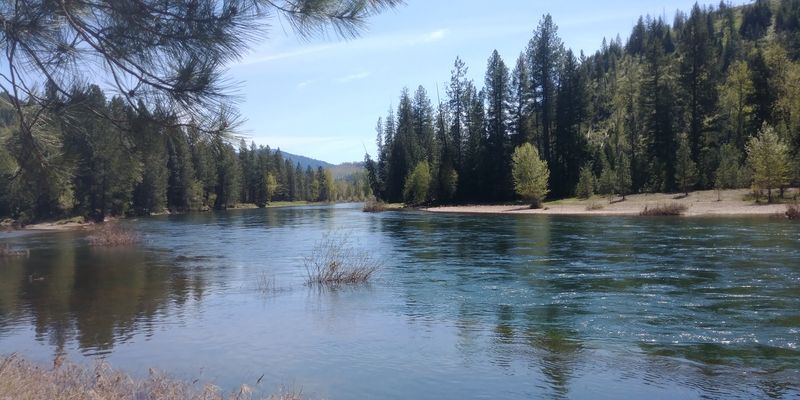
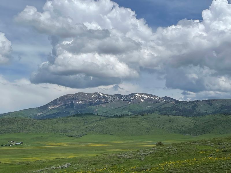
Steep, tree-covered slopes crowd close at the eastern end, where the trail begins near Mullan in the shadow of the Bitterroot Mountains. It is the highest and most rugged stretch of the whole route.
Railroads rarely climb steeply, and that works in your favor. The grade stays gentle, so even the mountain section feels manageable.
Riding west from here means a long, easy downhill drift that many cyclists love for exactly that reason.
Views in this area lean vertical. Instead of wide lakes, you get narrow valleys, rushing water, and ridges that seem to lean over the path.
Evergreen forests shade parts of the ride, which helps on warm summer days.
Mullan itself is a small mining town, and the start feels quiet and a little tucked away from the busier western sections. That calm appeals to riders who prefer fewer people and more pine-scented air.
One popular idea is to begin up high and ride down-valley, arranging a pickup farther west. Your legs will thank you, and the scenery unfolds like a slow story, from mountain chapter to river chapter, with barely any climbing required along the way.
Silver Valley Towns Along The Route
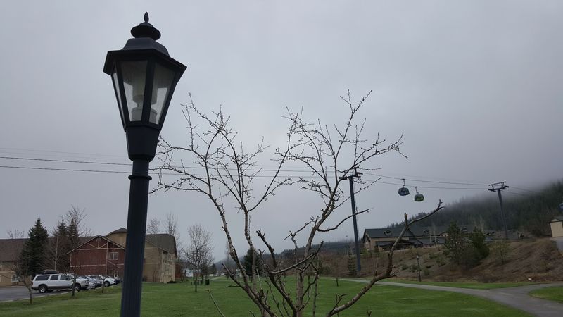
Brick storefronts and old mining history greet riders who roll into Wallace, one of several Silver Valley towns strung along the trail. Kellogg sits farther west, and together they give the route its small-town flavor.
These communities once thrived on the mining boom, and their streets still carry that heritage. Riding into town feels like stepping from the woods into a living museum, except this museum has lunch counters and local shops.
Stopping in town is one of the easiest ways to break up a long day. You can refill water bottles, grab a meal, browse a store, and stretch your legs before heading back out.
Many riders plan their segments around these towns for exactly that reason.
History buffs will enjoy looking around, since the Silver Valley shaped a big chunk of Idaho’s story. The trail makes that history easy to reach without a car.
If you grew up in north Idaho, you have probably driven through these places on the interstate a hundred times. Arriving by bike is a completely different experience, slower and friendlier, with time to notice details that usually blur past the windshield.
Riverside Riding And Chain Lakes
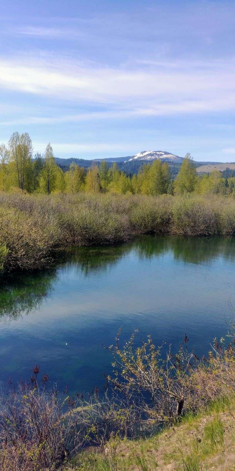
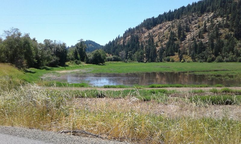
Water becomes your constant companion west of the Silver Valley. The trail follows the Coeur d’Alene River closely, and before long it threads through the chain lakes region, a string of small lakes and marshes.
Here the mountains step back and the landscape softens. Cattails, open water, and wide wetlands take over, and the air often feels cooler near the river.
Morning rides can bring mist hanging low over the lakes.
Riders often describe this middle stretch as peaceful. There are long flat miles with few interruptions, the kind of steady pedaling that lets your mind wander.
It is a good section for people who want distance without any drama.
Birdwatchers especially appreciate these lowlands. The mix of shallow water and marsh grass supports plenty of life, and binoculars come in handy.
Services are spread out through this area, so it pays to carry water and a snack. The waysides help, offering places to sit and look out over the lakes.
Take your time here, because the calm is part of the reward, and you will likely share the view with more ducks than people.
Moose, Elk, And Soaring Eagles
Moose sightings along the marshy stretches are a real possibility, and nothing makes a rider brake faster. Seeing one browse in the shallows is the kind of moment people talk about for weeks.
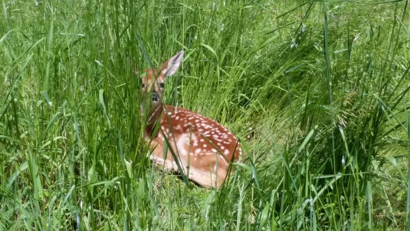
Elk also roam the forests and meadows near the trail. Overhead, osprey and bald eagles patrol the river and lakes, sometimes diving for fish right in front of you.
Habitat variety is the reason. The route passes mixed conifer forest, wetlands, river corridors, and agricultural fields, so different animals find a home along different sections.
Every few miles, the cast of characters changes.
Give big animals plenty of room. A moose may look calm, but it is large and unpredictable, so stopping at a distance and waiting is the smart move.
Binoculars or a zoom lens let you enjoy the view without crowding.
Early mornings and evenings tend to be livelier for wildlife, when the light is soft and the trail is quieter. Families with kids might turn it into a game of spotting birds, counting eagle nests, or searching the marsh for long legs and dark shapes.
Even without a moose, the birds rarely disappoint.
Harrison On The Lakeshore
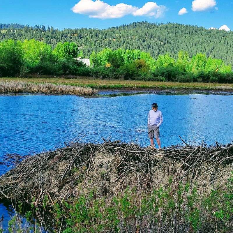
Summer transforms Harrison. This small town on the eastern shore of Lake Coeur d’Alene sees its population swell in the warmer months as trail visitors arrive by bike and car.
Its location makes it a natural gathering point. Lake views open up right beside the path, and the town offers a convenient spot to rest, eat, and regroup before continuing toward the Chatcolet Bridge or heading back.
Harrison has an easygoing feel that suits a trail stop. You can linger by the water, watch boats drift past, and let tired legs recover.
Many riders consider it one of the most relaxing pauses on the entire route.
For shorter outings, Harrison works well as a starting or turnaround point. The nearby lake scenery gives even a brief ride a big payoff.
Because it gets busy during peak season, arriving earlier in the day helps with parking and quieter riding. Out of season, the town slows down considerably, which some visitors actually prefer.
Either way, it is one of those spots that makes people say they want to come back next year and stay a little longer.
Rolling Palouse Finish Toward Plummer
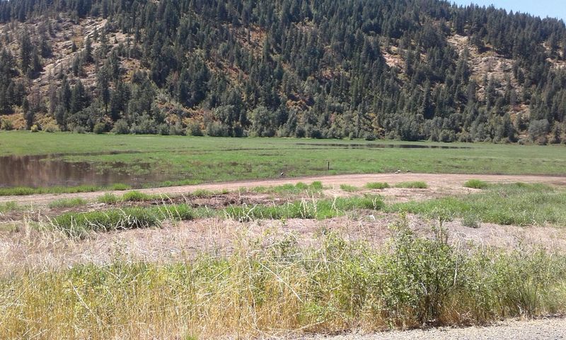
Golden hills replace pine forests on the final leg. After the lake, the trail climbs away from the water toward Plummer, entering the edge of the rolling Palouse prairie.
Farmland spreads out in soft waves here, and the sky suddenly feels enormous. It is a sharp change from the narrow mountain valleys back east, and riders often remark on how different the two ends feel.
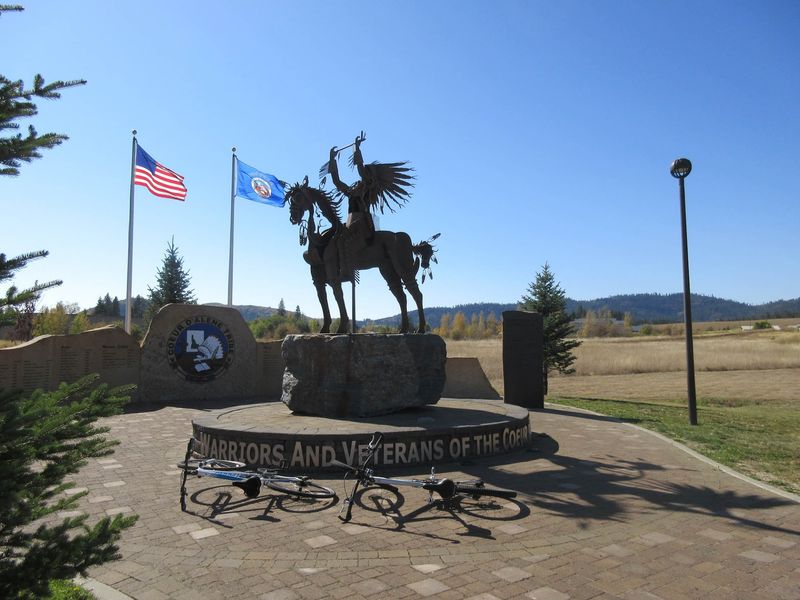
This stretch passes through lands tied to the Coeur d’Alene Tribe, one of the partners that helped create the trail. Plummer marks the western terminus, close to the Washington state line.
Heads up for anyone planning a long ride. Leaving the lake toward Plummer involves a steady climb, one of the few real uphill sections on the route.
The grade is still railroad-gentle, but after many miles it gets noticed.
Wide-open fields mean less shade, so sunscreen and extra water are worth packing on hot days. The reward is a quiet, spacious finish that feels like a fitting last page, with farm views stretching to the horizon and the whole long journey rolling out behind you.
Wheels, Feet, And Winter Skis
Road bikes, e-bikes, inline skates, and electric wheelchairs all share this smooth surface, and that wide welcome is a big part of the appeal. The gentle grade keeps things friendly for nearly every ability level.
Walkers and strollers are just as at home. You can cover a mile or two with a dog and a coffee, or plan a multi-day ride with panniers.
Winter does not shut the trail down. It stays open year-round, and certain sections are groomed for Nordic skiing and snowshoeing when snow arrives.
Gliding across a quiet, snowy trestle offers a totally different view of the same place.
Families with younger riders often appreciate the flat stretches, since kids can pedal without fighting hills. Older visitors looking for an unhurried outing find plenty of benches and easy miles.
Trail etiquette keeps everyone happy. Faster cyclists should call out before passing, and groups can ride single file when the path gets busy.
With so many different users, a little courtesy goes a long way, and it helps the trail keep its easygoing reputation from one season to the next.
Trailheads, Waysides, And Timing
Twenty developed trailheads line the route, along with about 20 scenic waysides fitted with picnic tables and benches. That means you rarely have to go far to find a place to start, stop, or snack.
Choosing a segment is the fun part. Mountain lovers can start near Mullan, town explorers can hop on in Wallace or Kellogg, and lake fans can head for Harrison or the Chatcolet Bridge area.
Camping areas are available near the route for anyone stretching the trip over several days.
Late spring through early fall is the favorite window for cycling and walking. September stands out, with pleasant temperatures, the first hints of autumn color, and fewer crowds than midsummer.
Winter brings its own draw for skiers and snowshoers on groomed sections, though conditions vary. Checking current trail and weather updates before driving is always a smart step.
Pack water, sun protection, and a basic repair kit, since services can be spaced out between towns. Long one-way rides work best with a shuttle or a second car.
Plan ahead a little, and the rest of the day tends to take care of itself.
Why The Long Way Wins
Seventy-three paved miles, 36 bridges and trestles, mining towns, marshes, a lake crossing, and farm country all fit on one continuous path. Few outings in Idaho pack that much variety into something so easy to ride.
What makes it special goes beyond scenery. An old industrial corridor, once a problem to be solved, has become a place where families picnic, retirees stroll, and kids race to the next trestle.
That transformation gives every mile a little extra meaning.
Casual riders can pick a short piece and still feel rewarded. Ambitious cyclists can tackle the whole route and come away with a true north Idaho adventure.
Winter visitors trade tires for skis and discover a quieter side of it.
If you live in the Panhandle, this trail might already be a favorite. If not, it is worth a weekend drive, especially in September when the air turns crisp and the crowds thin out.
Bring a friend, pack a lunch, and give yourself time to stop on the bridges. Chances are you will leave already planning which section to ride next.