10 North Carolina Scenic Drives That Are Worth Taking Before The Leaves Fall
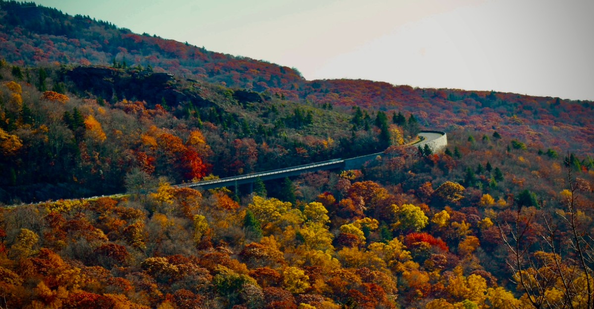
October turns certain North Carolina roads into moving postcards.
The trick is catching them before the wind decides the show is over.
For a few short weeks, ordinary drives suddenly become the kind that make passengers stop talking and start reaching for their phones.
Every bend seems to reveal another hillside showing off. A full tank helps. So does a snack bag large enough to survive all the unnecessary detours.
There is no need to rush toward a destination when the road itself keeps stealing the attention. Fall color has terrible timing and zero patience.
When it finally arrives, the best response is simple.
Get in the car and chase it.
10. Blue Ridge Parkway, Blowing Rock To Linville Falls
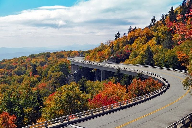
Few roads in the East can match the feeling of rounding a bend and seeing ridge after ridge fade into blue haze. Up here, October paints those ridges in scarlet maples, golden birches and copper oaks.
The Blue Ridge Parkway between Blowing Rock and Linville Falls is the famous postcard stretch, and for good reason.
It slips past Beacon Heights and curls around the shoulders of Grandfather Mountain, whose rocky summit rises to 5,946 feet.
As of October 12, 2026, the segment is open, though drivers should plan for short single-lane construction delays in a few spots. Want a bonus stop?
The entrance to Grandfather Mountain sits on U.S. 221, one mile south of the Parkway at Milepost 305.
There you can cross the Mile High Swinging Bridge, watch animals in natural habitats and explore the Wilson Center for Nature Discovery.
Overlooks come often, so take your time.
Pull over, roll down the window and listen to the wind moving through the treetops.
A thermos of hot cocoa and a few apple hand pies make any stone wall feel like a front-row seat.
Arrive early on weekends, since parking at popular pullouts fills quickly once the color peaks.
9. Cherohala Skyway, Robbinsville
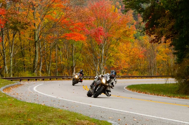
Imagine watching autumn change seasons right outside your car window.
Because this 43-mile National Scenic Byway climbs from the valleys near Robbinsville to heights above 5,000 feet, you can pass through several stages of fall color on one trip.
Leaves start turning up high in late September, and the lower slopes keep glowing into mid-November. Sourwoods blush deep red, tulip poplars flash yellow, and maples, birches, oaks and sweetgums fill in the gaps with orange and purple.
The overlooks gaze across Nantahala National Forest and some of the wildest peaks in far western North Carolina.
Santeetlah Overlook marks the top of the route at 5,390 feet.
Nearby, Hooper Bald and Huckleberry Knob reward a short walk with open, grassy summits, and the Spirit Ridge Trail offers an easy stroll through the woods.
Plan ahead before you start, because there are no gas stations or places to eat along the byway itself, although restrooms are available at select stops such as Stratton Ridge. Fill the tank in Robbinsville and grab sandwiches, fruit and plenty of water.
Long, sweeping curves make the drive feel almost like gliding.
Keep a jacket handy, since the air at the top can feel ten degrees cooler than the valley floor.
8. Forest Heritage Scenic Byway, Brevard And Pisgah Forest
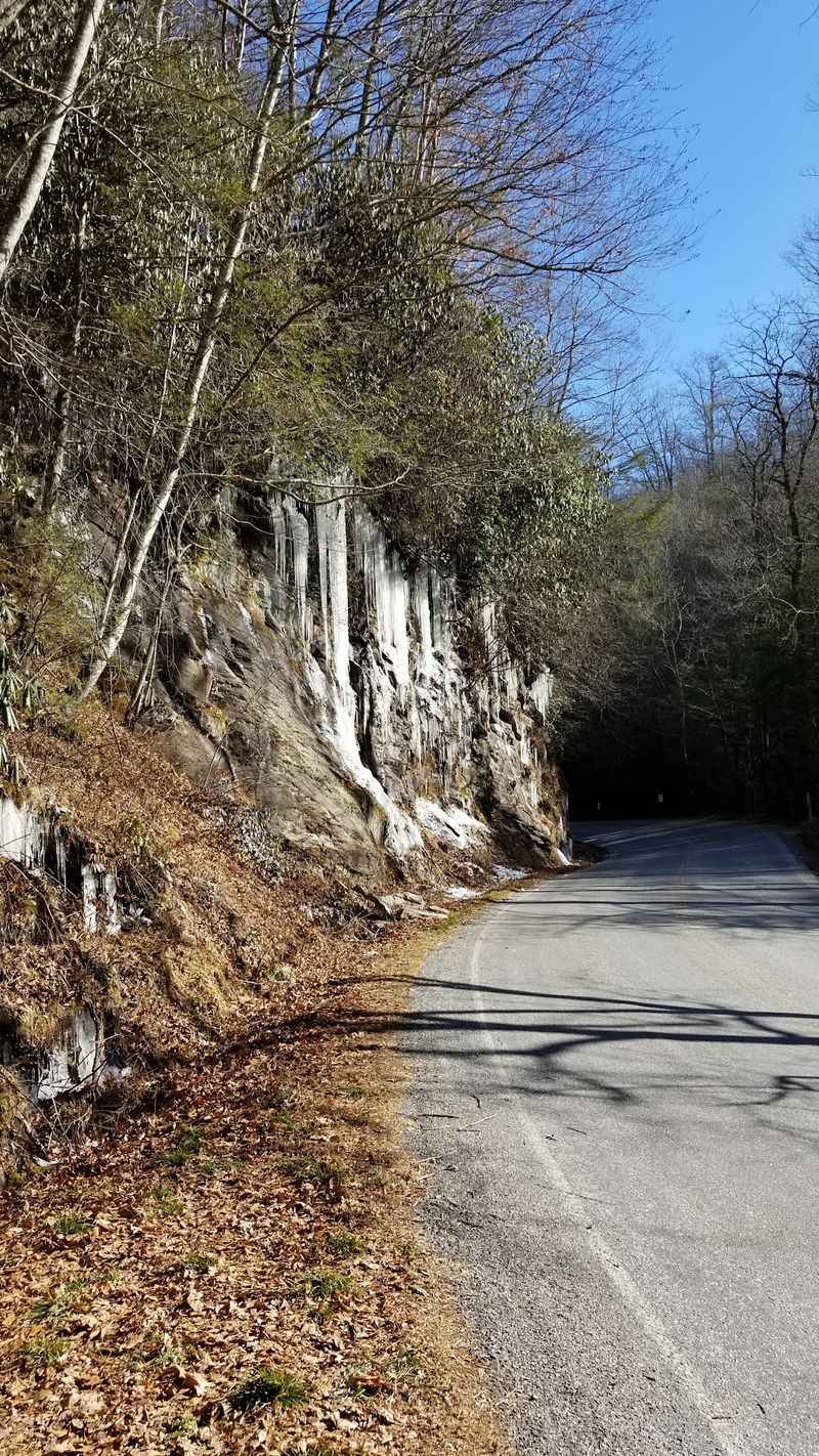
Waterfalls and fall leaves make a wonderful pair, and this loop serves up both in generous helpings.
Following U.S. 276, NC 215 and U.S. 64, the Forest Heritage Scenic Byway forms a roughly 79-mile loop through the Pisgah Ranger District and nearby countryside.
Looking Glass Falls is the star early on, about six miles north of Brevard on U.S. 276.
You can admire the 60-foot cascade right from the roadside, then take the steps down to an observation deck or all the way to the creek.
The mist feels cool on your cheeks, and the pool below swirls with floating yellow leaves. Here is a fun fact.
The falls borrow their name from Looking Glass Rock, a granite dome where winter ice coats the cliffs and shines like a mirror in the sun.
History lovers should save time for the Cradle of Forestry. It marks the site of the Biltmore Forest School, the first forestry school in America, and the trails there wander past old cabins and towering trees.
Between stops, the road climbs through forested gaps where the color deepens with every switchback.
A picnic blanket, some cheese crackers and a crisp apple turn any creekside pullout into lunch with a view.
7. Waterfall Byway, Rosman To Murphy
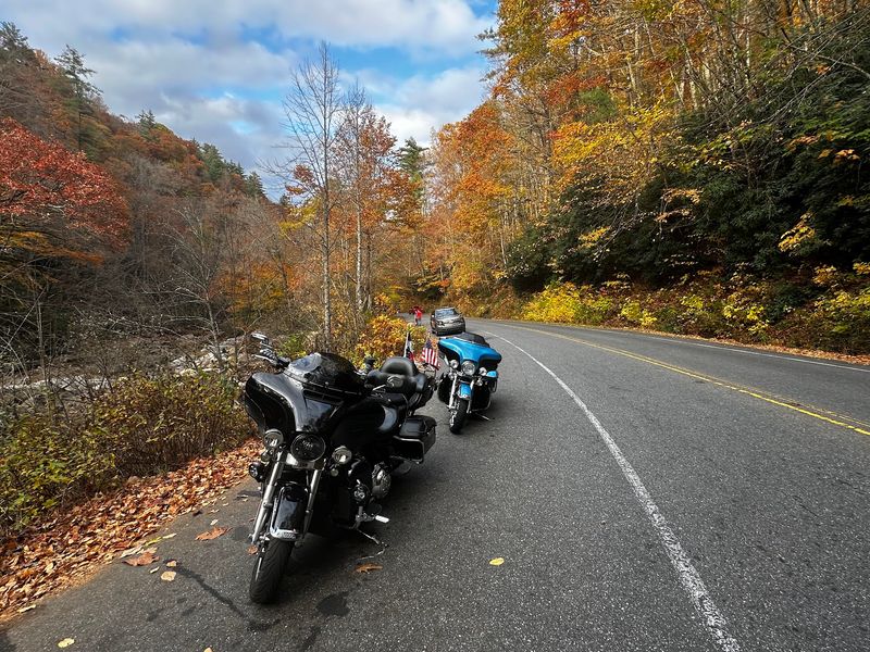
Count the waterfalls on this route and you may lose track before lunch.
The 98-mile stretch of U.S. 64 rolls through five mountain counties and a region home to hundreds of cascades.
Starting in Rosman, in Transylvania County, you will soon reach Toxaway Falls, easy to see from a gravel pullout.
Farther west, the road threads the Cullasaja Gorge, where the river tumbles beside the pavement.
Cullasaja Falls, a powerful 250-foot drop, becomes easier to spot as the leaves thin, but park carefully because pullouts are tight. Two stops near Highlands let you do something magical.
At Dry Falls, a 75-foot curtain of water, a path leads right behind the spray, and parking costs $3.
Bridal Veil Falls, with free parking, also lets you stand behind the flow and peek out through the mist.
Highlands itself makes a cozy break, with bakeries and small cafes where a warm cinnamon roll tastes even better after a chilly morning. Beyond town, the byway passes through Nantahala National Forest before ending in Murphy.
Give this drive a full day.
Rushing would mean missing the rumble of falling water and the smell of damp leaves along the gorge.
6. New River Valley Byway, Boone To Laurel Springs
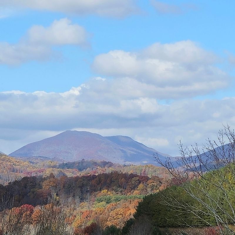
When the busy High Country roads fill with bumper-to-bumper leaf-peepers, this peaceful route feels like a secret back door.
Roughly 31 miles of curvy road connect Boone with Laurel Springs.
Much of the way follows the New River, which glints silver between golden trees.
Rows of Christmas trees climb the hillsides like neat green stripes, and small streams chatter under little bridges.
Barns and farmhouses dot the valleys, giving the drive a slow, easy rhythm. Bring more than a camera.
The river corridor offers spots to paddle, fish, hike and spread out a picnic, so pack a cooler with sandwiches and a bag of fresh mountain apples. Kids will love tossing leaves into the current and watching them float away.
Autumn sounds are part of the charm here.
With the windows cracked, you may hear crows calling, water gurgling over rocks and dry leaves crunching under your tires at each pullout.
Because the route stays quieter, you can stop more often without feeling rushed.
A late afternoon drive is especially lovely, when low sunlight turns the hills amber and long shadows stretch across the farm fields.
5. Highlands Of The Roan Byway, Bakersville To Carvers Gap
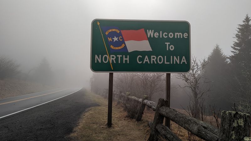
Some drives build slowly, like a good story, and save the best part for the ending.
Starting in Bakersville, this 30.8-mile route climbs gently through quiet Appalachian valleys.
Early miles feel homey and calm. Small farms, hay bales and tidy Christmas tree fields line the road, and the trees along the creeks glow yellow and orange.
The higher you go, the wider the sky becomes. Near Carvers Gap, the scenery opens into the spectacular Roan Highlands.
Rolling grassy balds stretch toward the horizon, and the famous rhododendron gardens sit close by.
The Appalachian Trail crosses here too, so you might see hikers with big backpacks setting off on a long journey. Step out of the car and the air feels crisp and thin.
Wind sweeps over the open ridges, carrying the earthy smell of grass and fallen leaves.
A short walk along the trail gives you sweeping views without a hard climb.
Bring layers, because temperatures drop fast at high elevation, and a warm hat can make the difference between a quick peek and a long, happy wander.
Finish with hot soup from home in a thermos.
4. Little Parkway, Linville To Blowing Rock
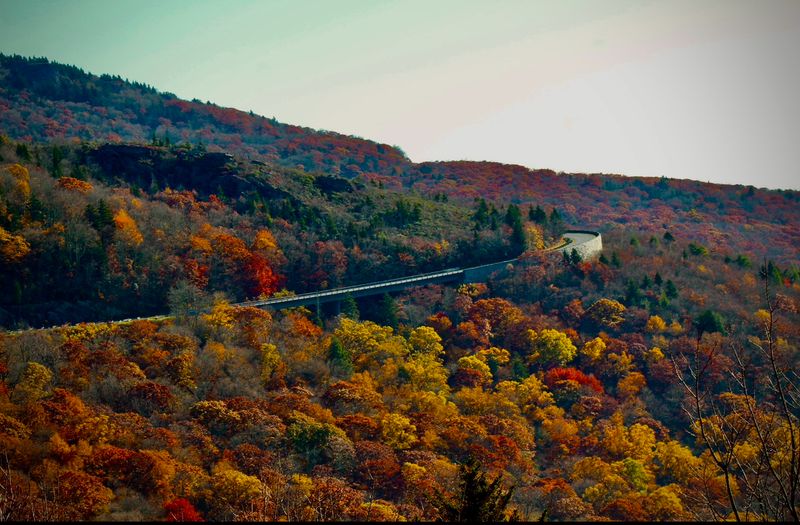
Back in 1889, wagons and early travelers bumped along a brand-new toll road carved into the slopes near Grandfather Mountain.
Today that same path, also called the Yonahlossee Trail, follows U.S. 221 for 18.5 miles between Linville and Blowing Rock. History gives this route extra flavor.
It served as the main link between the two towns until the Linn Cove Viaduct on the Blue Ridge Parkway was finished in 1987. Compared to the Parkway, the Little Parkway feels cozy and close.
Trees lean over the road like a leafy tunnel, and huge boulders covered in moss sit right beside the pavement.
Tiny cascades trickle down rock faces, sparkling when the sun breaks through. Expect slower speeds and plenty of curves.
That pace is part of the fun, giving you time to notice the smell of damp earth and the crunch of acorns at each pullout. Natural wonders wait nearby, including Linville Gorge, Linville Falls and Linville Caverns.
Blowing Rock makes a sweet finish, with shops selling fudge, apple butter and warm cider doughnuts.
Stroll Main Street while the maples overhead blaze red.
3. Sauratown Mountains Scenic Byway, Danbury Area
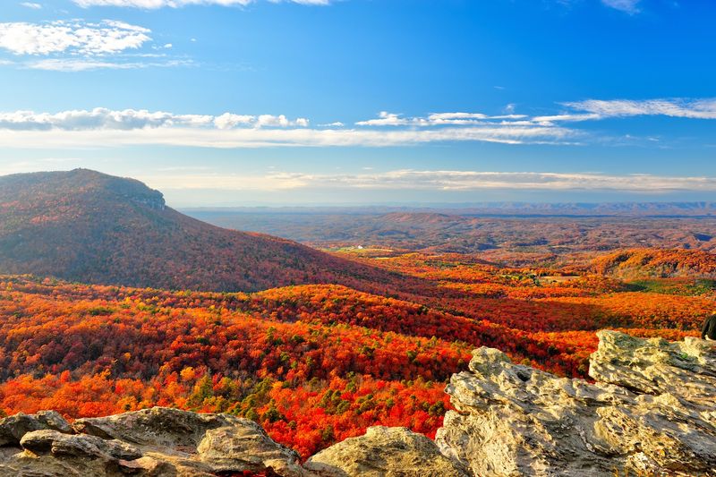
Missed peak color in the high country? No worries, because the foothills often hold their brightest shades well after the mountain summits turn bare.
Around Danbury, this byway winds through the ancient Sauratown Mountains, a small range of rocky peaks that rise sharply from the rolling countryside. Pilot Mountain is the most famous knob, and a handy roadside pullout gives you a clear look at its rounded cap.
You can find the Pilot Mountain Scenic Overlook at U.S. 52, Pilot Mountain Pkwy, Pinnacle, NC 27043.
The overlook stays open around the clock and offers informative plaques about the peak.
There are no restrooms, so plan breaks in nearby towns.
Hanging Rock State Park is the other big draw. Cascade Falls, a pretty two-level waterfall, sits at the end of a short trail lined with rhododendron and crunchy leaves.
Lower elevations mean milder weather, making this a comfortable pick for families with little ones.
Spread out a picnic of turkey sandwiches and pumpkin bread, then watch hawks circle over the cliffs as the afternoon light warms the hills.
2. South Mountain Scenery, Marion And The South Mountains
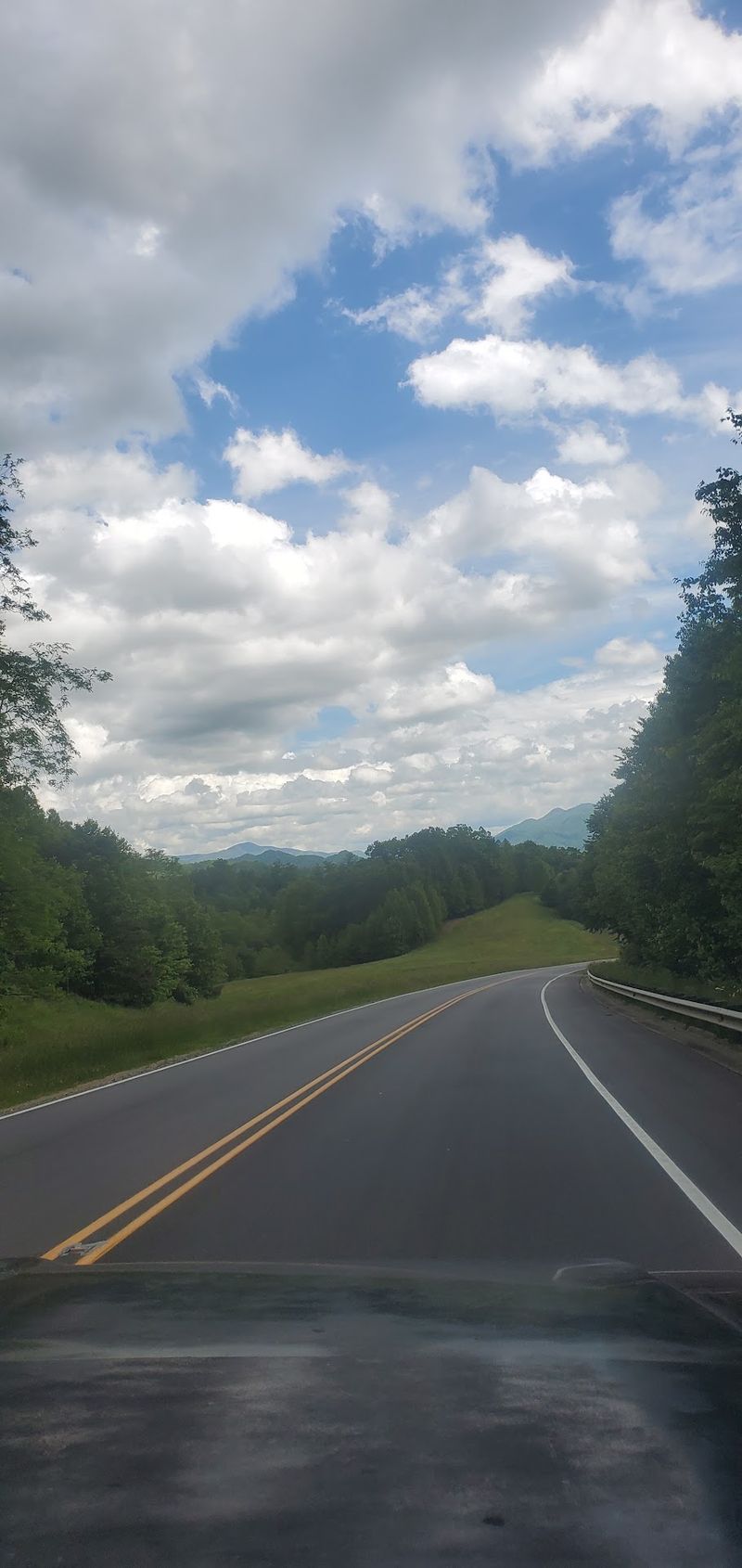
Mountains melt into farmland along this route, making it a living lesson in how the landscape changes from west to east.
Beginning near Marion in McDowell County, Highway 226 carries you out of mountain scenery and into the rolling Piedmont.
Apple country lies along the way, and autumn is harvest time. Roadside stands may offer crisp apples, fresh cider, fried apple pies and jars of apple butter that taste like sweet cinnamon sunshine.
The forests around South Mountains State Park add rich color to the hills.
The park has nearly 50 miles of hiking trails and extensive equestrian routes, although mountain-bike trail access is currently closed.
Keep in mind one 2026 update, though: the High Shoals Falls Trail and its waterfall viewing areas, home to an 80-foot cascade, are closed until further notice.
The scenic road itself remains fully usable, so the drive still delivers.
Pastures, fences and old farmhouses frame the changing trees nicely. Timing matters here.
Fall color around Marion usually wraps up during the first week of November, so this makes a smart choice for a late-season outing when higher peaks have already lost their leaves.
1. Whitewater Way, Sapphire Area
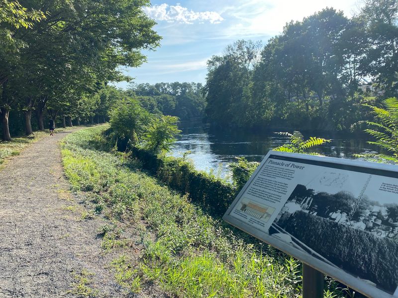
Short on time but hungry for big scenery?
At only about nine miles long, this compact byway near Sapphire proves that a drive does not need to last all day to feel unforgettable.
Thick forest hugs the road from start to finish. Hemlocks, oaks and maples crowd together, and in fall the canopy turns into a bright quilt of red, orange and gold.
The headline attraction is Upper Whitewater Falls, which plunges an amazing 411 feet over a rocky cliff.
A walkway leads to viewing platforms, and on a breezy day you might feel a hint of spray even from far away.
The roar echoes through the gorge like distant thunder.
Gorges State Park sits along the route as well. Its wild terrain holds plunging waterfalls, rugged river gorges and sheer rock walls, perfect for anyone who loves exploring.
A half-day plan works nicely here.
Drive the byway in the morning, hike a short trail, then enjoy lunch in a nearby town with a grilled cheese and tomato soup.
You will still have time to relax by evening.