9 North Georgia Hiking Trails Locals Hike Carefully In Early Fall Because Of Black Bears
My guide stopped mid sentence and pointed at a tree, bark shredded clean off one side. Claw marks, fresh ones, about shoulder height.
That was my introduction to hiking season in the mountains, the part nobody puts on a postcard. Locals plan entire trips around bear activity this time of year, swapping trail names like insider information.
Acorns and berries pull bears down from higher ground right into the same paths hikers love most. Some trails get quietly skipped by people who know the area, not out of fear exactly, more out of respect.
I wanted to know which ones, and why timing matters more than most hikers realize. This corner of Georgia turns into a shared trail system every fall, and the other hikers do not wear boots.
Georgia’s most beautiful season comes with a catch worth understanding before you lace up.
1. Blood Mountain Trail (Byron Reece Trailhead), Blairsville
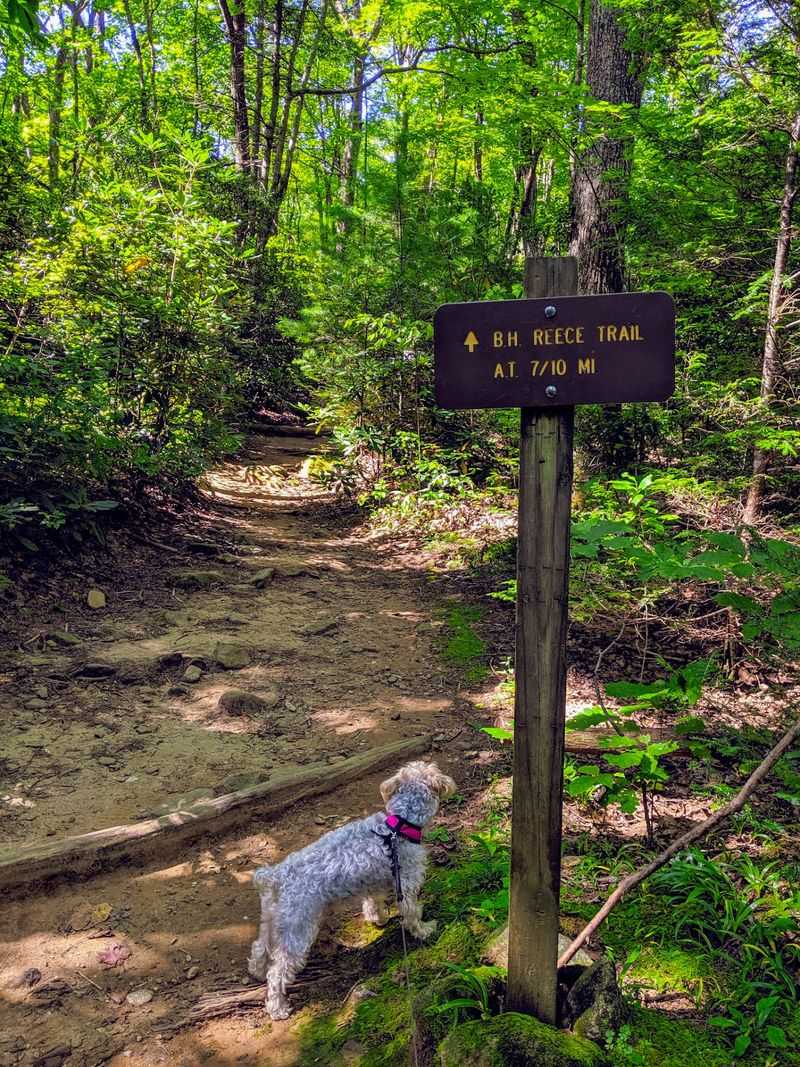
Some climbs make you earn every view, and this one collects payment early. The rocky pitch out of the Byron Reece Trailhead gains serious elevation before you reach the stone shelter at the summit.
Bears know the mountain well. Forest officials have reported a noticeable rise in bear encounters in this wilderness area, mostly tied to food left within easy reach.
Overnight hikers face a firm rule here. Bear-resistant canisters are required along this section during the spring season and are recommended throughout the year.
Day hikers are not off the hook either. Trail lunches get unpacked at the summit rocks, crumbs scatter, and a bear that finds an easy snack tends to come back looking for seconds.
The parking lot fills fast on crisp weekends, which is part of the problem. More people means more dropped granola bars along the switchbacks.
Find the trailhead at 12471 Gainesville Hwy, Blairsville, GA 30512, right along the highway near Neel Gap. Arriving before nine gives you quieter woods and a real parking spot.
Keep food sealed and inside your pack while you walk. Snack breaks belong on open rock where you can see what is around you.
Descending in fading light is where trouble usually starts. Turn around with enough daylight left, and the mountain stays exactly as memorable as it should be.
2. Bear Hair Gap Trail, Blairsville
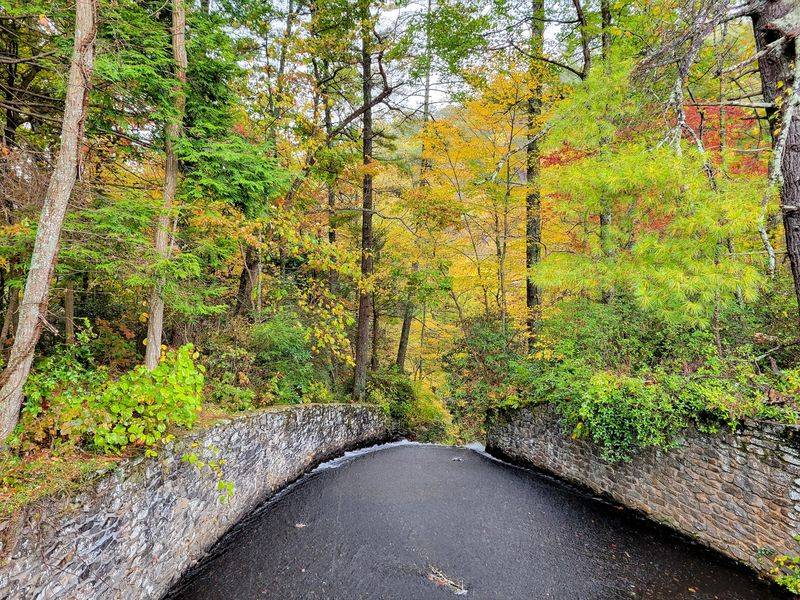
A trail named Bear Hair Gap is not being subtle. The loop starts inside Vogel State Park and climbs into the edge of the Blood Mountain Wilderness, which is prime bear country.
The route runs about four miles with a steady climb and a spur to an overlook. From up there you can see the park lake sitting like a coin in the valley.
Signs at the trailhead spell out what to do during a bear encounter. Read them even if you think you know the drill, because the advice changes with the season.
Black bears live throughout this mountain region, so hikers should stay alert and give wildlife plenty of space. A cub in view means the mother is nearby, and that is the moment to back away calmly.
Autumn brings heavy acorn drops along this ridge, and acorns are bear fuel. Where the oaks are loaded, the bears are working.
The trailhead sits at 405 Vogel State Park Rd, Blairsville, GA 30512, with parking near the campground. A small park fee applies, and the restrooms are a nice bonus.
Talk while you walk, especially on the blind curves near the creek crossings. Noise gives bears the chance to leave before you ever meet.
Keep dogs leashed the whole way. A loose dog that chases wildlife usually brings it straight back to you.
3. Raven Cliff Falls Trail, Cleveland
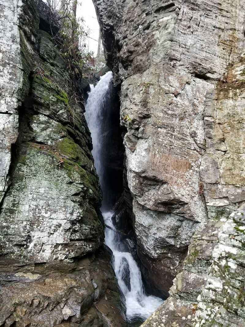
Water does the talking on this one. The path follows Dodd Creek upstream past a string of small cascades before ending at a waterfall that pours through a split rock face.
Backpackers enjoy the creekside campsites, but food should always be stored securely. Proper storage helps prevent bears from associating campsites with an easy meal.
Anything with a smell counts as food. Toothpaste, sunscreen, and a wrapper stuffed in a jacket pocket all register on a bear’s nose.
Bear-resistant containers are the smart choice for overnight trips in this wilderness. Hanging a bag from a branch rarely works on bears that have practice.
The trail runs roughly five miles round trip with gentle grades, so families take it on regularly. Easy hiking still deserves full attention in early fall.
Parking is at 3000 Richard B Russell Scenic Hwy, Cleveland, GA 30528, and the lot empties quickly on foliage weekends. Overflow spots along the road disappear by midmorning.
Pack out every scrap, including apple cores and orange peels. Natural does not mean harmless when it teaches a bear that people bring meals.
Final stretch to the falls gets slick with spray and fallen leaves. Slow feet and dry boots make the whole day better.
4. DeSoto Falls Trail, Cleveland
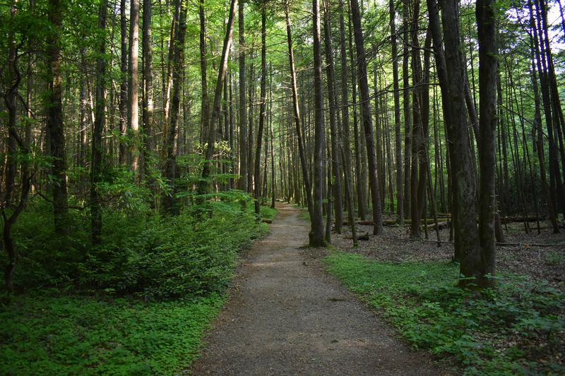
Two waterfalls, one short trail, and a whole lot of foot traffic. DeSoto Falls delivers big scenery without demanding much from your legs, which makes it a favorite for first-time mountain hikers.
Warning signs about bears show up at the trailhead often. That is not decoration, it is a heads up from people who watch this area closely.
Bears in the region shift into heavy feeding mode as the nights cool. They spend most of their waking hours searching for calories, and picnic areas are on their route.
Carrying bear spray is a reasonable precaution here. Keep it clipped where you can reach it, not buried under a rain jacket at the bottom of your pack.
The upper and lower falls each have viewing decks, connected by an easy creekside path. Bring a light layer, because the hollow stays cool and damp.
The access point is at 18365 Highway 19, Dahlonega, GA 30533, with parking and picnic facilities nearby.
Eat at the tables, not on the trail, and clear your spot completely. Tables become bear magnets when crumbs pile up over a busy weekend.
If you see a bear from a distance, enjoy it and keep moving. Photos are fine, approaching never is.
5. Tennessee Rock Trail, Mountain City
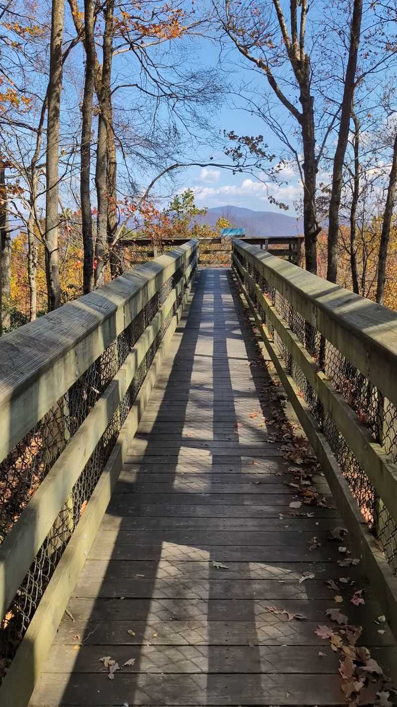
Elevation makes this loop special. Black Rock Mountain State Park sits higher than any other state park in the region, and the Tennessee Rock overlook proves it with layered ridgelines stretching north.
The loop covers about two and a half miles with a solid climb to the crest. Fall color arrives here earlier than in the valleys below.
Specific bear reports on this exact path are hard to pin down. The mountain itself, though, sits squarely inside bear habitat, and the surrounding forest is full of oaks.
Acorn season changes bear behavior across the whole highland area. A heavy mast year keeps them feeding on ridgetops from sunrise until dark.
The trailhead is off 3085 Black Rock Mountain Pkwy, Mountain City, GA 30562, near the park visitor center. Stop inside for current trail conditions and any posted wildlife notices.
Cool mornings up here can surprise you. Temperatures often run several degrees below what your phone shows for town.
Hike with a friend if you can, and let your voices carry on the wooded stretches. Solo hikers should stay alert and skip the headphones.
Campers at the park should use the food storage lockers provided. Coolers left on a picnic table overnight are an open invitation.
6. Approach Trail To Springer Mountain, Dawsonville
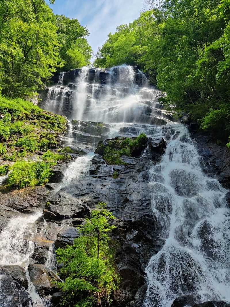
Roughly eight miles of climbing stand between Amicalola Falls and the southern end of the Appalachian Trail. Thru-hikers call it the warm-up, though their legs usually disagree.
The stairs beside the falls come first, hundreds of them, and they set the tone. After that the trail settles into steady forested climbing toward Springer Mountain.
The Appalachian Trail Conservancy regularly reports bear activity along the trail’s Georgia section. Shelters and popular campsites see the most incidents.
Using a bear canister for overnight gear is strongly recommended on this stretch. It protects your food and keeps bears from linking backpacks with dinner.
Cooler weather tends to increase bear movement. Animals cover more ground looking for nuts and berries as the days shorten.
Start from 418 Amicalola Falls State Park Rd, Dawsonville, GA 30534, where you can register and grab water before heading up. The visitor center posts current wildlife alerts.
Cook and eat well away from where you sleep. A hundred yards of separation makes a real difference.
Store trash the same way you store food, sealed and secured. A crushed wrapper still smells like a meal.
Day hikers can turn around at Frosty Mountain and still get a full workout. The summit will be there next time.
7. Panther Creek Falls Trail, Clarkesville
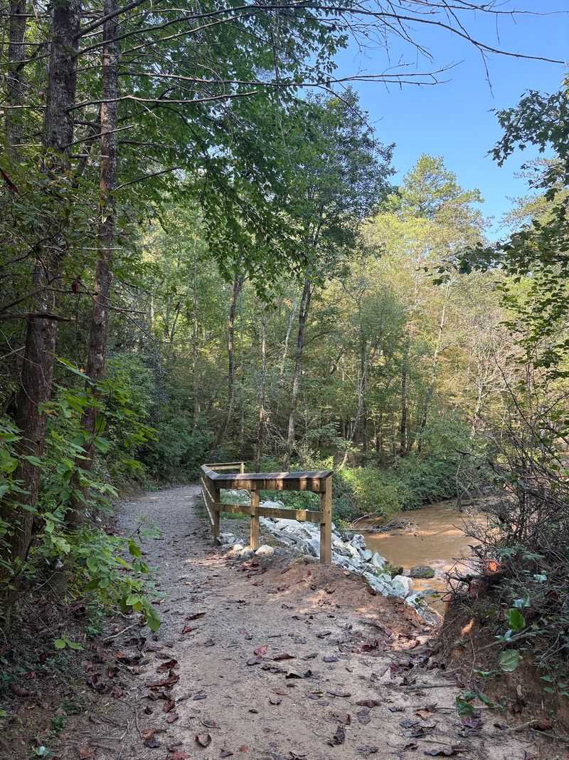
Few waterfalls in the region feel as generous as the one at the end of Panther Creek. Broad rock ledges spread out below the cascade, and the creek keeps up a steady rush the whole way in.
Getting there means about three and a half miles of narrow trail with a few exposed sections. Cables bolted to the rock help on the tightest ledge.
Black bears live throughout the northern part of the state, and this corridor is no exception. Most of the time they hear people first and slip away quietly.
Food storage is what keeps that pattern intact. Proper food storage is especially important here because black bears are native to the forests of North Georgia.
Backpackers use the campsites near the falls year-round. Those sites need extra care in autumn, when feeding pressure peaks.
The main lot is at 4061 Old Historic U.S. 441, Clarkesville, GA 30523, and it is small. Weekends bring roadside parking and long walks back to your car.
Wading is tempting at the base of the falls, but rocks stay slick even in low water. Watch your footing near the drop.
Leave the swimming snacks packed away. Open coolers on the rocks draw more than curious hikers.
8. Jacks River Trail (Dally Gap Trailhead), Blue Ridge
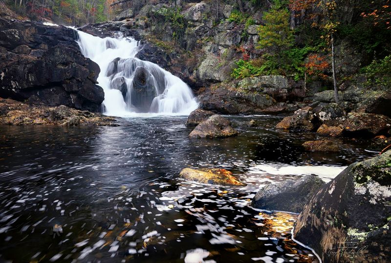
Remote is the right word for this one. The Cohutta Wilderness swallows cell signal, and the Jacks River route crosses the water dozens of times before reaching a striking double waterfall.
Wet feet are guaranteed. Most hikers give up on staying dry within the first mile and just wade.
Wildlife thrives in this backcountry, black bears very much included. The isolation that makes the area beautiful also means fewer people around if something goes sideways.
Black bears inhabit the remote forests surrounding Jacks River, so hikers should follow standard bear-safety practices throughout the route.
Backpackers should treat food storage as non-negotiable out here. A canister weighs a couple of pounds and solves a long list of problems.
Access comes from Forest Service Road 22 at Dally Gap in the Chattahoochee National Forest near Blue Ridge, GA 30513. The gravel road is rough, so a higher-clearance vehicle helps.
Tell someone your route and expected return time before you leave. There is no reliable way to call for help from the river corridor.
River crossings rise fast after rain. If the water looks pushy at the first ford, save the trip for a drier week.
Trekking poles earn their keep here, both for balance and for making noise.
9. Anna Ruby Falls Trail, Helen
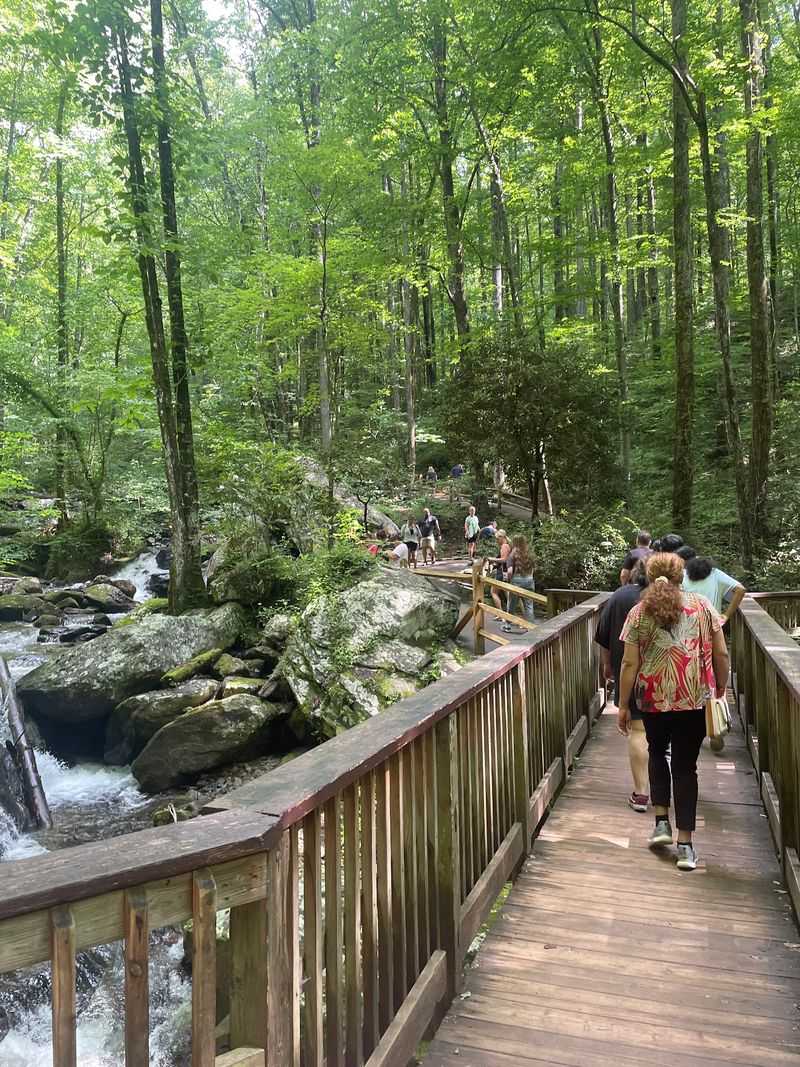
Twin waterfalls at the end of a half-mile paved path make this the easiest big payoff around. Curtis and York Creeks drop side by side into one pool, which is a rare sight anywhere.
Strollers roll it, grandparents walk it, and kids run ahead to the observation decks. The pavement does not mean the woods stop being wild.
The connecting Smith Creek Trail leads deeper into the surrounding forest on a longer route toward Unicoi State Park. Making noise is the simplest tool you have.
Singing, chatting, or calling out a friendly hey bear lets them know people are coming.
Bears that hear you early usually move off without ever being seen. Keeping them wary of humans protects them as much as it protects you.
The visitor center sits at 3455 Anna Ruby Falls Rd, Helen, GA 30545, with a gift shop, restrooms, and a small fee. Leaves peak here in mid to late October.
Snacks belong at the picnic area, not on the deck rails. Wrappers blow into the creek and crumbs collect where crowds gather.
Weekday mornings are the sweet spot for parking and photos. You get mist on the water and the falls mostly to yourself.