10 Tennessee Trails Around 2 Miles Or Less That Deliver Big Views Fast
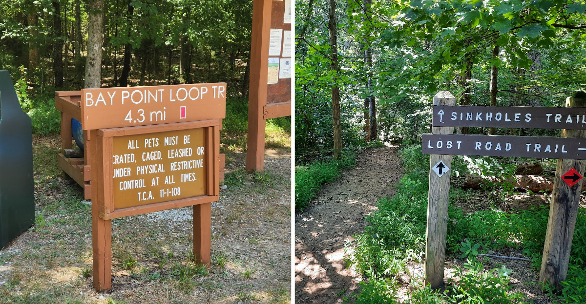
Not every great view needs sore knees and a six-hour commitment, which is good news for me.
Tennessee has plenty of short trails where waterfalls, overlooks, lakes, wildlife, and forest scenery can show up surprisingly quickly.
I love hikes that leave enough energy for lunch afterward, and these routes seem built for exactly that kind of day.
Some are smooth and easygoing, while a few pack steep climbs or uneven terrain into surprisingly short distances.
Sometimes the smartest trail choice is the one that gives you the payoff without stealing the rest of your afternoon.
1. Whitehouse Cliffs Trail, Flag Pond
The layered blue mountains seem to stack forever.
Inside Lamar Alexander Rocky Fork State Park, Whitehouse Cliffs Trail climbs one mile to Whitehouse Knob, making the full out-and-back hike 2 miles. Overlooks near the top stare straight across the Rocky Fork watershed.
Expect a sustained, strenuous ascent rather than a quick easy climb.
Botany fans have a reason to linger here too. American chestnuts are among the unusual native plants found on the park’s higher ridges.
Go early in the day if you want cooler air and softer light. Autumn turns the whole valley into a patchwork of orange and gold.
Bring more water than you think you need for a two-mile walk. The uphill sections dry you out faster than expected.
Sturdy shoes help on the rockier steps near the cliffs. Sandals are not your friend on this one.
Photographers should plan extra time at the top. The overlook rewards patience when clouds drift across the ridgelines.
Because the trail is strenuous, families should judge the climb by each hiker’s ability rather than the short mileage alone.
The trailhead sits at 501 Rocky Fork Rd. Short mileage, tall views, and a very happy camera roll.
2. Bobwhite Accessible Trail, Kodak
Are you seeing what I am seeing on this smooth ribbon of pavement? Seven Islands State Birding Park has designated the Bobwhite Accessible Trail as a paved, wheelchair-friendly route.
Seven Islands State Birding Park in Kodak holds the Bobwhite Accessible Trail, a paved path built for absolutely everyone. It stretches 0.9 miles one way from the parking area.
The 0.9-mile one-way route reaches the French Broad River and crosses it on a 0.15-mile bridge leading to an island.
Midway you cross a 0.15-mile bridge with sweeping sightlines. Wading birds often work the shallows below.
The paved route is designed for accessible travel, with a slight incline approaching the bridge.
Birders treat this park as a serious stop on their calendars. Meadowlarks, herons and hawks all make appearances.
Spring and early summer bring wildflowers along the grassy edges. Bring binoculars and you will use them constantly.
Shade is limited, so a hat earns its keep here. Midday sun on open fields gets warm fast.
Sunset walks are especially pretty when light skims the river surface. The bridge becomes a front-row seat.
Drone flights in Tennessee State Parks require written approval from the park manager. Look for the trail at 2809 Kelly Ln. Easy rolling, big birds, zero stress.
3. Duck Island Loop Trail, Kingsport
Just imagine circling an island in less time than a sitcom episode. That is the pace of this pleasant little loop.
The paved Loop Trail circles Duck Island for 0.64 mile and provides views across Fort Patrick Henry Lake.
Waterfowl including ducks and Canada geese are common around the lake, while other park wildlife may also appear. The paved loop is listed by Tennessee State Parks as wheelchair-friendly.
Morning light makes the whole loop glow across the water. Evening walks bring cooler air and busy waterfowl.
Benches along the way invite a pause. Sit long enough and something feathered usually shows up.
Photographers love the low angles near the water’s edge. Mist on cool mornings adds real atmosphere.
Since the loop is so short, many walkers do it twice. Even two laps stay comfortably under two miles.
Pack snacks and make an afternoon of it in the larger park. Playgrounds and picnic areas sit nearby.
Find the trail at 490 Hemlock Rd. Quick, calm, and surprisingly full of life.
4. Henry Horton Greenway, Chapel Hill
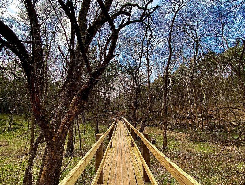
Let’s be real for a second, sometimes the best walk is the smoothest one. No roots, no mud, no drama.
The 1.5-mile greenway is paved, universally accessible, and made from porous material containing more than 6,000 recycled Tennessee tires.
Highlights of Henry Horton State Park line the route in quick succession. Easy access to the Duck River tops the list.
The Duck River is considered the most biologically diverse river in North America, with exceptional fish and freshwater mussel diversity.
Pollinator gardens bloom alongside the pavement in warm months. Bees and butterflies work the flowers nonstop.
Open fields of native grass sway with the breeze. Late summer turns them tall and golden. The historic stone wall along the route once surrounded the Horton homestead.
Cyclists share the greenway, so keep right and stay aware. Plenty of room exists for both.
Spring and fall bring the most comfortable temperatures here. Shade comes and goes along the way.
Photographers should aim for golden hour near the grass fields. The light turns everything honey colored.
Restrooms and picnic areas within the park make logistics simple. A short walk becomes a full outing.
Use the park’s main day-use address at 4209 Nashville Hwy, where current construction has temporarily altered some internal traffic patterns.
5. Byrd Lake Trail, Crossville
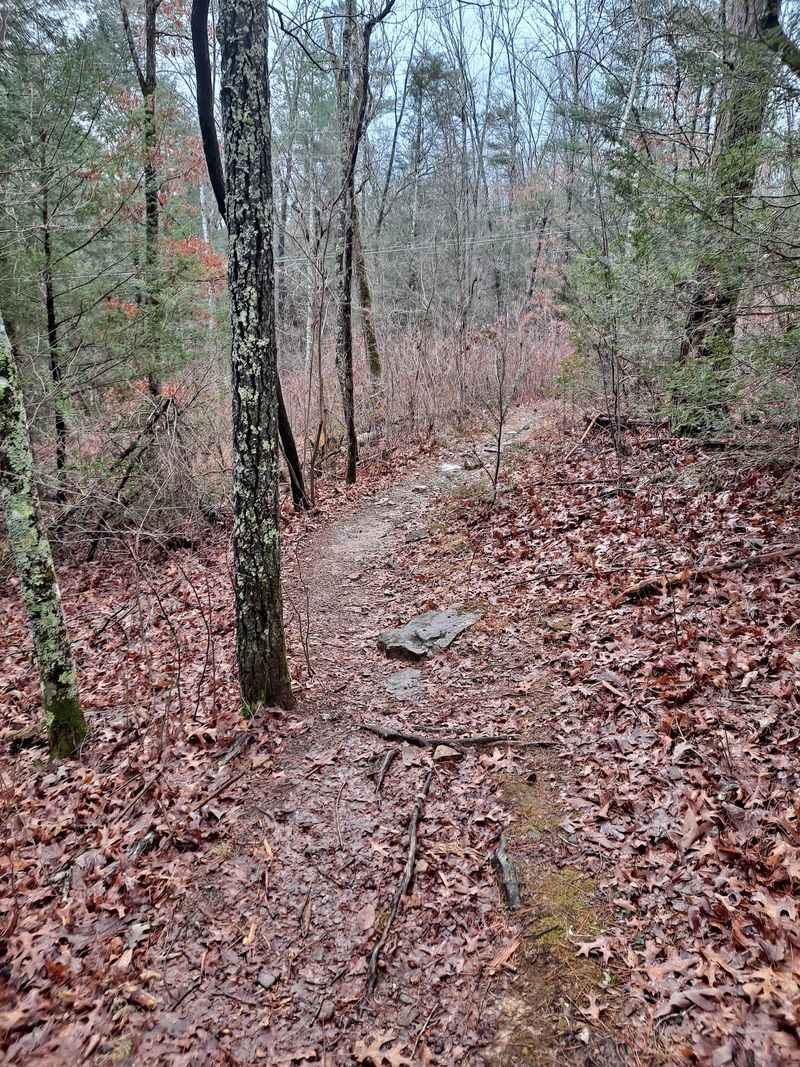
Half a mile really can carry this much scenery. Short does not mean boring.
Cumberland Mountain State Park in Crossville keeps the Byrd Lake Trail as its tidiest option. The 0.5-mile route is paved with porous pavement and is wheelchair-friendly.
The path curves along calm Byrd Lake with water views most of the way. A charming footbridge near the boat dock anchors the walk.
Birdwatchers do very well here without much effort. Waterfowl paddle close and songbirds chatter overhead.
Porous pavement forms the trail surface between the visitor-center area and the footbridge near the boat dock.
Fall color reflects across the lake in October. That reflection alone is worth the drive.
Pair the trail with the park’s historic stone bridge for a bigger loop of sightseeing. Both sit close together.
Benches let you rest and watch the dock activity. Kayaks slide out on warm afternoons. Because it is so brief, this works well as a warm-up or a wind-down. Families squeeze it in easily.
You will find the trailhead at 24 Office Dr. Small mileage, generous lake views, happy legs.
6. River Trail/Service Road Loop At Burgess Falls, Sparta
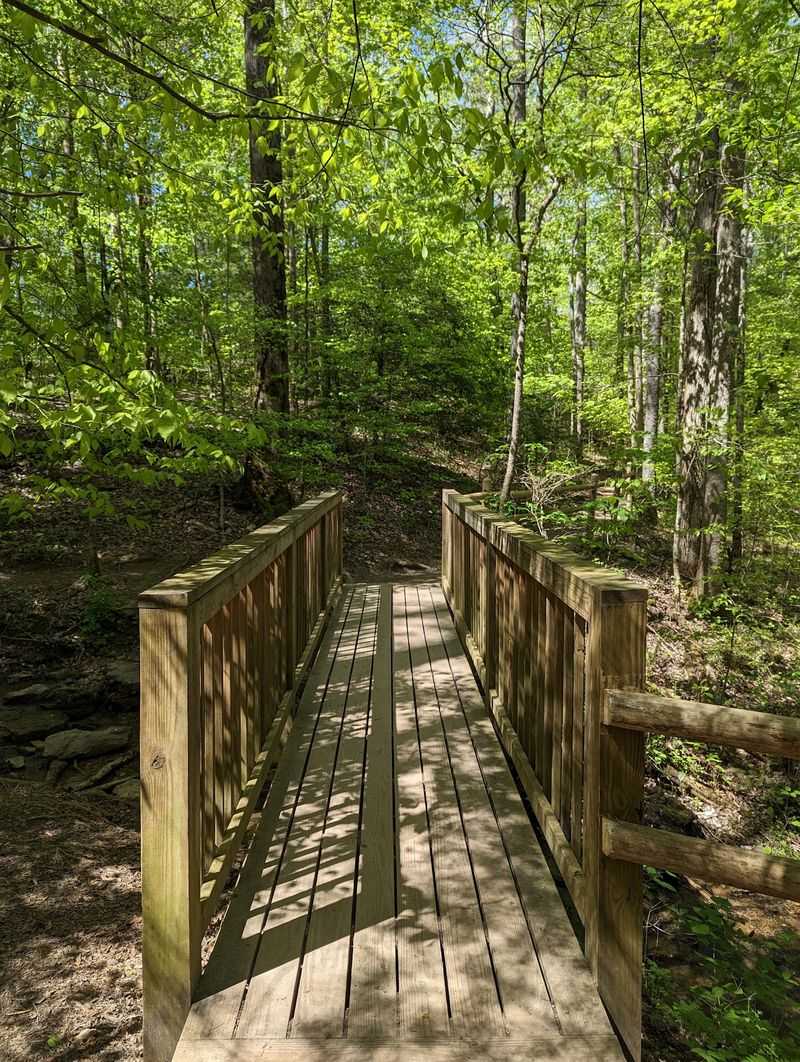
My jaw literally dropped at the sound before I even saw the water. Roaring gets louder with every step.
The River Trail and Service Road Loop is a 1.5-mile round trip rated moderately strenuous.
The route passes four waterfalls on the Falling Water River before reaching the overlook for 136-foot Burgess Falls.
The finale is the main falls plunging 136 feet. Overlook views of that drop stay with you.
Rated moderately strenuous, the trail does include real inclines. Steps and uneven footing show up in places.
Most visitors return along the service road, which avoids retracing the more rugged River Trail.
Spring runoff makes the cascades thunder at full volume. Summer brings greener, softer scenery.
Wear shoes with grip since spray keeps rocks damp. Slippery stone deserves respect.
Parking is extremely limited during the current visitor-center construction because the upper lot remains closed, and RV or trailer parking is unavailable.
Bring a rain jacket if you like standing close to the mist. The air near the falls stays cool. Photographers should try a slower shutter for silky water. Overcast days actually help.
The park sits at 4000 Burgess Falls Dr. Four waterfalls, one short walk, endless replay value.
7. Volunteer Trail Loop At Cove Lake State Park, Caryville
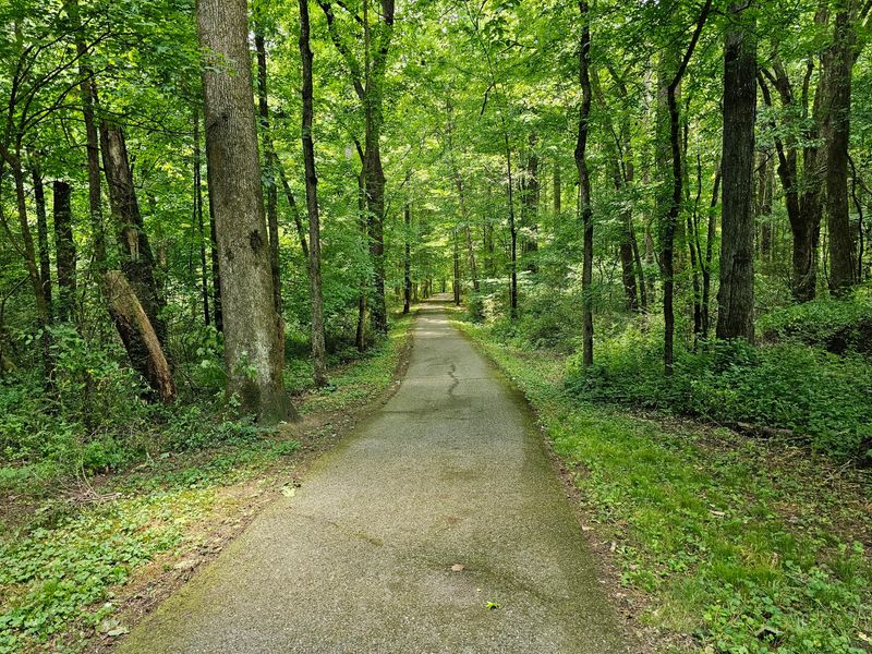
That came completely out of left field, a wooded loop with this much variety. Short trails rarely change scenery so often.
Cove Lake State Park currently lists the Volunteer Trail at 1.55 miles and rates it moderate.
Shaded woodlands keep the route cool when summer turns sticky. Tree cover does most of the work.
Powder Springs Beaver Pond lies along the lower portion of the loop before the trail climbs back toward the Cumberland Trail.
The route connects with the Cumberland Trail, giving hikers access to a much larger trail system.
From a ridge section you can glimpse Interstate 75 below. The contrast between forest and highway is oddly striking.
The natural-surface trail includes real climbing and is rated moderate rather than easy. Spring wildflowers pop along the shaded slopes. Fall turns the canopy gold and copper.
Bug spray earns its place in your pack during warm months. Ponds mean mosquitoes.
Pair the loop with the park’s paved lakeside path for extra mileage. Both stay gentle. Wildlife watchers should move slowly near the pond edges. Beaver signs are easy to spot.
Locate this loop at 110 Cove Lake Ln. The loop combines woodland, the beaver pond, and a Cumberland Trail connection within a relatively short moderate hike.
8. Starwalk Trail At Harrison Bay State Park, Harrison
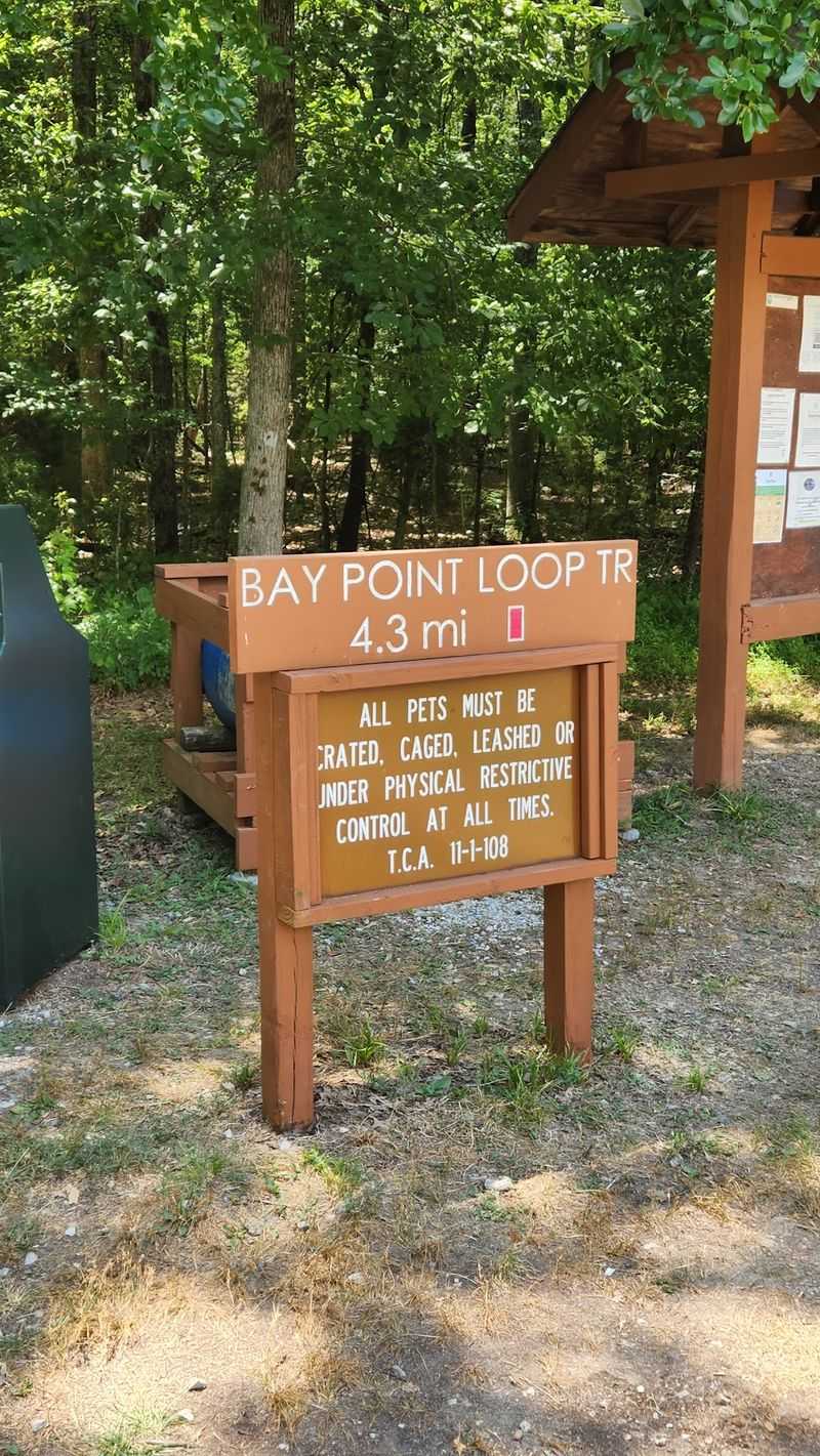
Here is a crazy thought, one short loop that works by daylight and starlight. Two experiences, same half mile.
Harrison Bay State Park in Harrison built the Starwalk Trail as a self-guided astronomy tour. Thirteen stations line the route.
Opened to the public in 2016, the path blends science with storytelling. Local history and literature both appear on the signs.
Daytime walks cross native grasslands and wetlands. Plants, insects and birds keep things interesting.
After dark, the same stations are meant to be read while visitors observe and think about the night sky.
Moonless nights, warm layers, a chair, and a red low-light flashlight are all recommended by Tennessee State Parks for dark-sky viewing.
Bring a red-filtered flashlight to protect your night vision. White light ruins the effect quickly.
A folding chair or blanket makes lingering far more comfortable. Necks get tired looking up.
Harrison Bay continues to use the Star Walk for guided astronomy programs, including scheduled night hikes in 2026.
Since it is only half a mile, kids stay engaged the whole way. Reading stations breaks up the walking.
Warm layers matter even in mild months because standing still gets chilly. Pack a jacket regardless.
The trailhead sits near the park entrance at 8411 Harrison Bay Rd. Grasslands by day, galaxies by night.
9. Enclosure Trail At Old Stone Fort State Archaeological Park, Manchester
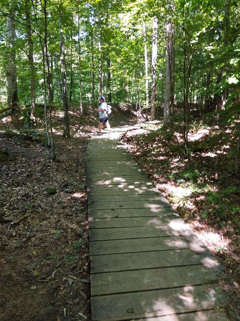
I had to do a double-take reading that these walls are roughly 2,000 years old. History hides in plain sight here.
The 1.4-mile Enclosure Trail is generally easy, but sections pass cliffs and waterfalls where uneven or slick footing requires attention.
The earthwork enclosure dates to the Middle Woodland period, roughly 1,500 to 2,000 years ago, and is understood today as a Native American ceremonial or ritual site.
The loop passes Step Falls, Blue Hole Falls, and Big Falls along the Duck and Little Duck rivers.
Rivers meet near the enclosure, carving rocky gorges below. Overlooks give you safe angles on the drops.
Interpretive signs explain what archaeologists have pieced together. Reading them changes how you see the mounds.
Spring water levels make the falls especially photogenic. Summer brings swimmers to the pools nearby.
Stay behind fencing near cliff edges since rock stays wet. Footing near water deserves caution. Fall foliage frames the gorge beautifully in late October. Bring a wide lens.
Allow extra time beyond hiking to browse the park museum. Artifacts add helpful context. Comfortable shoes suffice because elevation change stays minimal. No climbing required.
The park entrance is at 732 Stone Fort Dr. Ancient engineering and three waterfalls, all in one easy loop.
10. Point Lookout Trail At Panther Creek State Park, Morristown
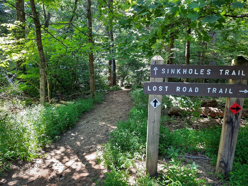
This one delivers a genuine wow at the top.
The 1.9-mile Point Lookout Trail is rated moderate and climbs to one of Panther Creek State Park’s signature overlooks.
The overlook reaches about 1,460 feet above sea level and provides views across Cherokee Lake toward the Cumberland Mountains.
Beyond the water rise the Cumberland Mountains in soft blue layers. East Tennessee shows off here.
Moderate difficulty comes from steady elevation gain rather than technical terrain. Take your time and it stays manageable.
The route is short but still involves a sustained moderate climb, so mileage alone can make it sound easier than it is.
Landscape photographers should target late afternoon light. Shadows across the lake add depth. Autumn is peak season for color from the overlook. Crowds arrive on October weekends.
Carry water since shade thins near the top. Sun exposure surprises people. Wear shoes with decent tread for the descending sections. Loose gravel appears in places.
Pack a light snack and enjoy it at the overlook. The setting beats any picnic table. Trail access is at 2010 Panther Creek Park Rd. Mountains, a wide lake, and bragging rights under two miles.