These 9 North Carolina Hiking Trails Locals Skip In August But Return To In September
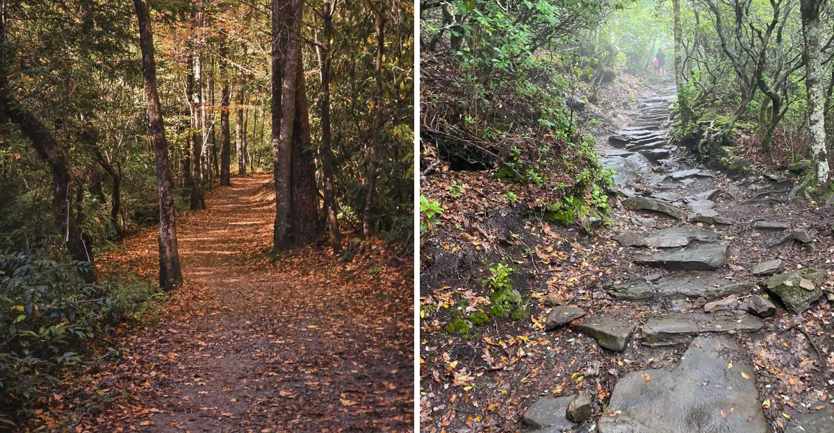
September is the apology August owes hikers.
After weeks of sticky shirts and parking-lot negotiations, the mountains finally start behaving again. The air loses some of its summer attitude, and trails that felt like outdoor saunas begin looking tempting instead of mildly threatening.
That first cool morning changes everything.
North Carolina hikers who know the rhythm often wait for this exact window, when summer crowds begin thinning and the weather stops turning every uphill stretch into a personal feud.
Even familiar paths feel different once September settles in. You notice the scenery instead of calculating how much water is left in the bottle.
Stopping at an overlook becomes enjoyable again rather than an excuse to catch your breath.
August can keep the sweat.
These nine trails are saving their best mood for early fall.
9. Deep Creek Trail, Bryson City
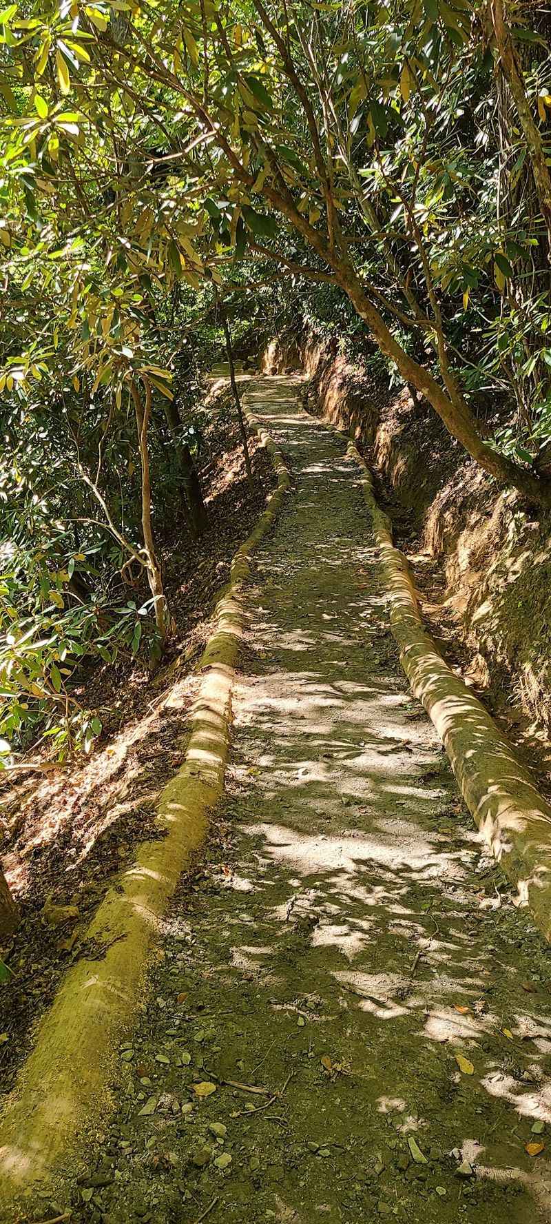
Three waterfalls in one loop is a generous deal by any measure, and this 2.4-mile route delivers all of them without asking much in return. The path follows Deep Creek upstream on a wide, mostly flat surface with only gentle rises.
Toms Branch Falls appears just three-tenths of a mile in, dropping a dramatic 80 feet down a mossy rock face. Keep walking and the 20-feet Indian Creek Falls arrives next, framed by ferns and late-season wildflowers.
Near the end of the loop, 90-foot Juney Whank Falls provides a satisfying send-off, with a small wooden footbridge crossing right through the spray.
Tall trees shade nearly the entire route, and the creek pushes a steady cool breeze along the corridor, which is exactly why summer visitors pack the place shoulder to shoulder.
By September, tubers head home, parking gets easier, and the air loses its heavy stickiness. Crisper mornings make the walk feel effortless, and the sound of water carries farther through quieter woods.
Bring shoes with decent grip since spray keeps some rock surfaces damp year-round. Pack a snack for the benches near Indian Creek Falls.
Families with young walkers do especially well here, since the grade never turns punishing and there is always something moving, splashing, or glittering just ahead on the path.
8. Boone Fork Trail, Near Blowing Rock
Few loops in the High Country pack this much variety into five miles. Winding through Julian Price Memorial Park, the route runs somewhere between 4.8 and 5.5 miles depending on which junction you follow, and it earns its moderate to hard rating honestly.
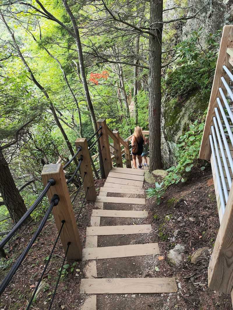
Expect stream crossings, tangled root staircases, and boardwalks built directly over house-sized boulders. Rhododendron thickets close overhead in long green tunnels, then release you into open pastures scattered with wildflowers.
Terrain shifts constantly. One moment you are stepping across slick stone near rushing water, the next you are strolling a grassy meadow with mountains stacked in the distance.
August turns this loop into a sweaty test of patience. Humidity settles in the low sections, and the boulder scrambles feel twice as long when the air refuses to move.
September flips the mood entirely. Cool mornings make the climbing sections pleasant, and the first blush of color begins touching the creek banks and meadow edges.
Give yourself three to four hours, wear boots you trust on wet rock, and carry more water than you expect to drink. Trail markers can be subtle at junctions, so a downloaded map earns its keep here.
Finish near the parking area and you will understand why hikers around Blowing Rock keep coming back.
7. Craggy Pinnacle Trail, Near Asheville
Short hikes rarely reward this generously. At roughly 1.2 to 1.4 miles round trip, the climb to this nearly 5,900-foot summit takes most people under an hour, yet the payoff rivals trails five times longer.
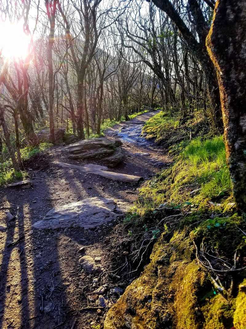
The path begins beneath a canopy of twisted rhododendron branches and gnarled sweet birch, forming a living tunnel that feels almost enchanted in morning fog. Stone steps and rocky patches keep the footing interesting without demanding real scrambling.
Break out at the top and the world opens in every direction. Mount Mitchell rises to the northeast, ridgelines fold away toward the horizon, and the Blue Ridge Parkway curls below like a dropped ribbon.
Summer brings blackberries, blueberries, and wildflowers to the exposed crown, and the elevation keeps temperatures 10 to 15 degrees cooler than Asheville sits at.
Even so, August means haze. Humid air softens the distant peaks into pale gray shapes, and the small parking area overflows fast.
September delivers clean, dry air and visibility that stretches for miles. Sunset here in early fall is genuinely unforgettable.
Arrive early or late, bring a light jacket since wind whips across the bare summit, and stay on the designated path to protect the fragile plants clinging to the rock.
6. Bluff Mountain Trail, Doughton Park
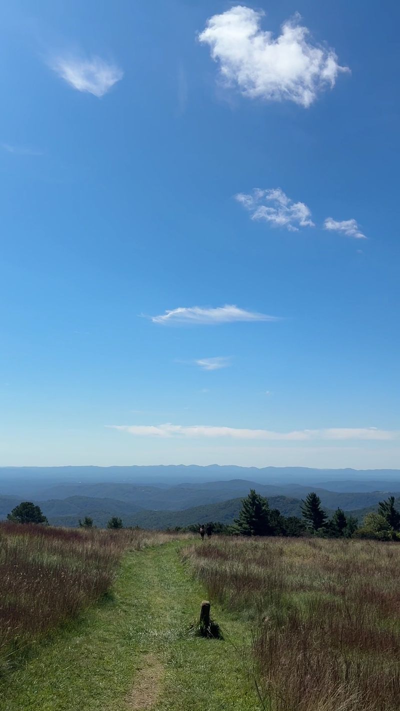
Wide open meadows are rare on Appalachian ridges, which makes this 6.9 to 7.5-mile stretch of the Mountains-to-Sea Trail something special. Grass brushes your ankles, views appear without warning, and the terrain stays forgiving for most of the distance.
Rated easy to moderate, the route rolls along elevated ground with frequent overlooks. Wildflower fields give way to shaded forest, then open again to sweeping panoramas of layered blue ridges.
Only one section really tests you: a short switchback climb through an outcrop known as Alligators Back. It is brief, rocky, and worth every step for the view at the top.
Sun exposure is the catch. Those glorious meadows offer almost no shade, and August heat bakes the ridge from mid-morning onward.
Come September and the same openness becomes the trail’s greatest asset. Cool breezes sweep across the grass, and early color creeps into the edges of the fields.
Plan for a full half-day if you walk the entire length, or hike out and back to a favorite overlook instead. Water is scarce along the ridge, so carry everything you need.
Historic structures and grazing land nearby add a quiet, pastoral feeling that sets this corner of Doughton Park apart from busier mountain destinations.
5. Cedar Ridge Trail, Doughton Park
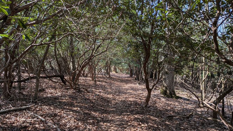
Over 2,000 feet of elevation change packed into 4.4 miles tells you almost everything about this route. Strenuous is the honest word, and hikers who underestimate it usually regret the decision somewhere on the return climb.
The path drops along a forested ridgeline, weaving between hardwoods with footing that turns technical in spots. Loose rock, exposed roots, and steady grade demand attention with every step.
Near the top, the trail connects with the Mountains-to-Sea Trail and Bluff Mountain Trail close to historic Brinegar Cabin, a weathered log homestead that anchors the upper end of the network.
What makes the effort worthwhile are the openings in the canopy where the ridge falls away and the valley spreads out below.
August turns this into a genuine slog. Heat and humidity trapped under the tree cover make the uphill return feel twice as long as the descent.
September changes the equation completely. Cooler temperatures make the grind manageable, and the forest canopy begins shifting from deep green toward amber and rust.
Start early, carry at least two liters of water, and use trekking poles if you have them. Descending is easier on the lungs but harder on the knees, so pace yourself accordingly on this rugged corner of North Carolina.
4. Linville Falls Trails, Near Linville Falls
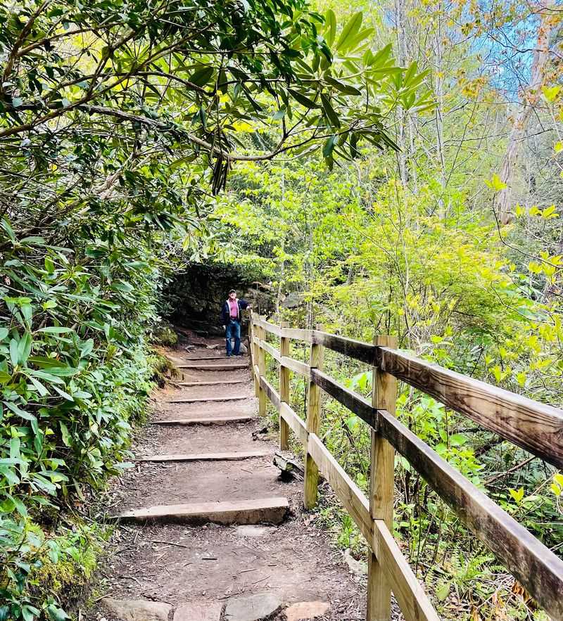
Four overlooks, one legendary waterfall, and a gorge carved deep enough to earn the nickname Grand Canyon of the Southern Appalachians. The Erwins View Trail covers 1.6 miles round trip at a moderate pace and reveals the three-tiered falls from four distinct angles.
Upper Falls comes first, a churning chute of water squeezing between rock walls. Chimney View offers a glimpse of the lower drop, while the farthest overlook opens onto the whole rugged gorge.
Hikers wanting more can take the Plunge Basin trail.
Remnants of an ancient hemlock forest shade much of the walking, mixed with oak, hickory, and birch.
Spring belongs to wildflowers here, but September brings something bolder. Reds and golds ignite against the dark evergreen hemlocks, and the cooler, drier air makes those steep descents far less punishing.
Sturdy footwear matters on the lower trails since spray keeps the rock slick.
Photographers should aim for overcast mornings when soft light reveals the water’s texture instead of blowing out the highlights across the gorge walls.
3. Mount Pisgah Trail, Near Asheville
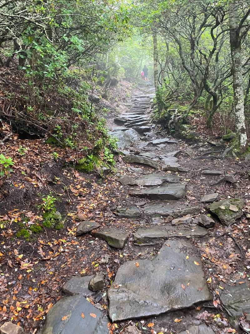
You can spot this peak from downtown sidewalks, a familiar silhouette with a broadcast tower marking the top. Reaching the 5,721-foot summit takes a 1.6 to 3.2-mile round trip that starts deceptively gentle before turning serious.
The second half is where the work happens. Steep, rocky, and studded with log and stone steps, the upper section climbs steadily through hardwood forest.
Rhododendron and mountain laurel crowd the trailside, and on warm days the air carries the sharp, unmistakable scent of galax drifting through the understory.
An observation platform crowns the summit, opening up 360-degree views across the city below, the winding French Broad River Valley, and the rough green expanse of Shining Rock Wilderness.
Summer wildflowers brighten the forest floor, but August heat combined with that relentless final grade discourages plenty of hikers halfway up.
Cooler September air transforms the climb. The same steps that felt brutal in humid weather become a steady rhythm, and the surrounding deciduous trees start their first color shift.
Allow ninety minutes to two hours, wear shoes with real tread, and expect wind at the top even on calm days. Sunset visitors should pack a headlamp for the rocky descent back down toward the parking area.
2. Oconaluftee River Trail, Cherokee
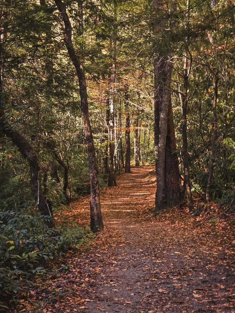
Elk graze in the fields near this trailhead, sometimes close enough that traffic stops on the road nearby. The 3-mile round trip runs flat and gravel-surfaced from the Oconaluftee Visitor Center to the edge of Cherokee, following the river the entire way.
Low-elevation hardwood forest shades most of the walk. Several small bridges cross feeder streams, and the river itself stays within earshot, sliding over stones in wide shallow runs.
Interpretive signs along the route share Cherokee history and culture, giving the walk a thoughtful, unhurried quality that pure scenery trails cannot match.
At the trailhead sits the Mountain Farm Museum, an open-air gathering of historic log buildings including a farmhouse, barn, and springhouse relocated to tell the story of mountain homesteads.
Leashed pets are welcome, which is unusual inside Great Smoky Mountains National Park and makes this a favorite for families traveling with dogs.
Heavy shade keeps August tolerable, though visitor traffic peaks then. September thins the crowds and cools the riverbanks, with early color reflecting in the slow pools.
Strollers roll easily on the packed gravel. Bring binoculars for elk viewing near dawn or dusk, and keep a respectful distance from any wildlife you encounter along this peaceful stretch.
1. Black Balsam Knob Trail, Near Canton
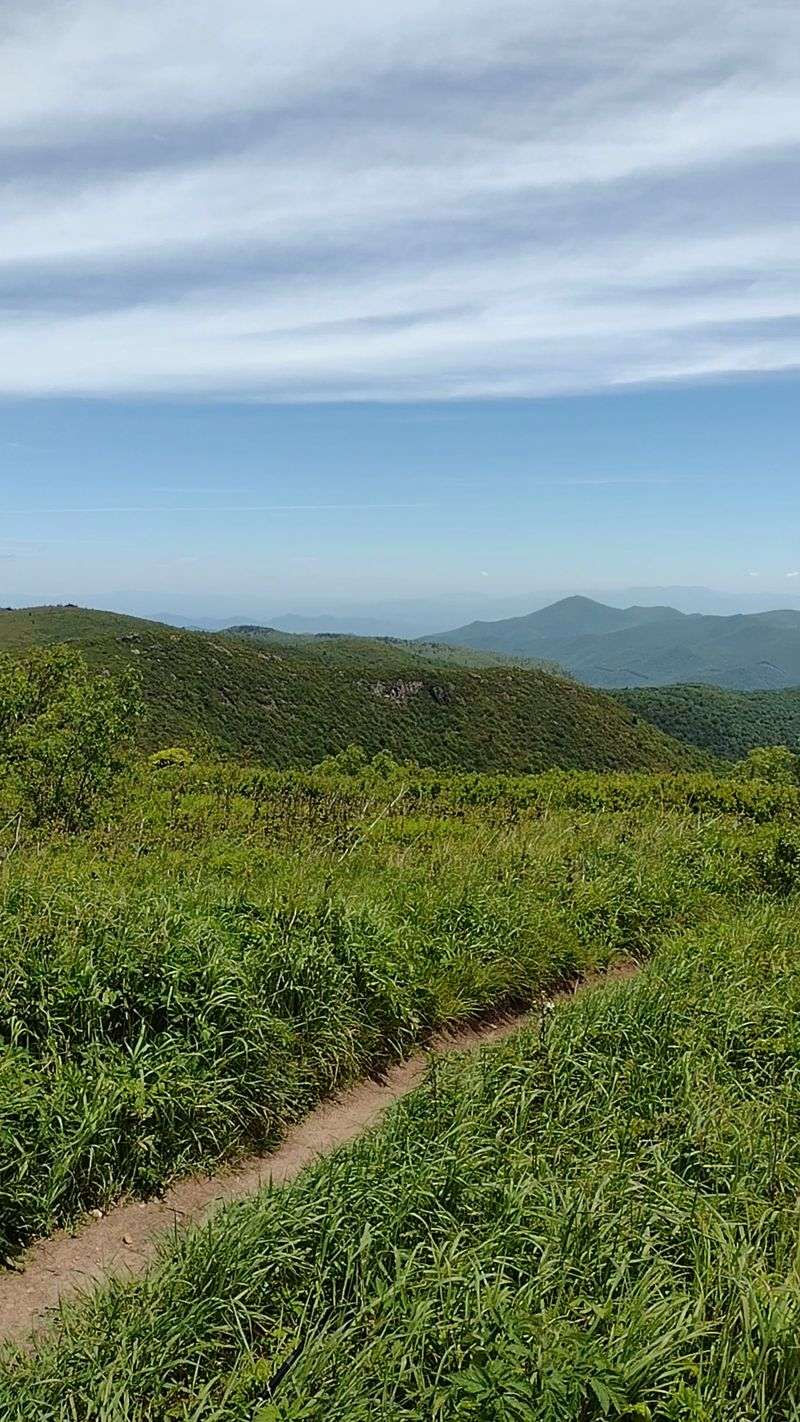
Standing on a treeless grassy bald at 6,214 feet feels closer to Scotland than the Southern Appalachians. Part of the celebrated Art Loeb Trail, the walk runs an easy to moderate half mile to 1.5 miles one way, with a common 1.4-mile round trip option.
Fragrant stands of Fraser fir and red spruce shelter the first stretch. Then the trees simply stop, and open sky takes over.
Wind-combed grass rolls across the summit while views stretch toward Shining Rock Wilderness, Cold Mountain, and the hazy outline of the Great Smoky Mountains.
Wildflowers and wild blueberries dot the bald through summer, but August afternoons bring fast-building thunderstorms with zero shelter above the treeline. Temperatures here run 10 to 20 degrees cooler than Asheville, which fools people into underdressing.
September is the sweet spot. High-elevation color arrives here weeks before the valleys turn, and the open landscape makes yellows and oranges glow at sunrise and sunset.
Nearby Graveyard Fields pairs perfectly with this hike and offers two waterfalls plus its own blueberry patches. The area stays open around the clock, though parking fills quickly.
Pack layers, start early, and watch the sky closely on this exposed ridge in western North Carolina.