This Arizona Highway Packs 42 Miles Of Incredible Southwest Scenery
Forty-two miles does not sound like an all-day plan until you see how many excuses this road gives you to stop.
Arizona packs lakes, canyon walls, desert scenery, historic sites, and roadside surprises into one remarkably eventful stretch of highway.
The scenery changes quickly enough to keep curiosity running ahead of the car.
One bend reveals rugged cliffs, another opens toward blue water, and historic stops add reasons to pull over. That is why rushing this drive would miss half the fun.
The mileage may look modest on a map, but the experience feels much bigger.
Give the route some time and those 42 miles can easily become the main event.
Footpaths That Became A Highway
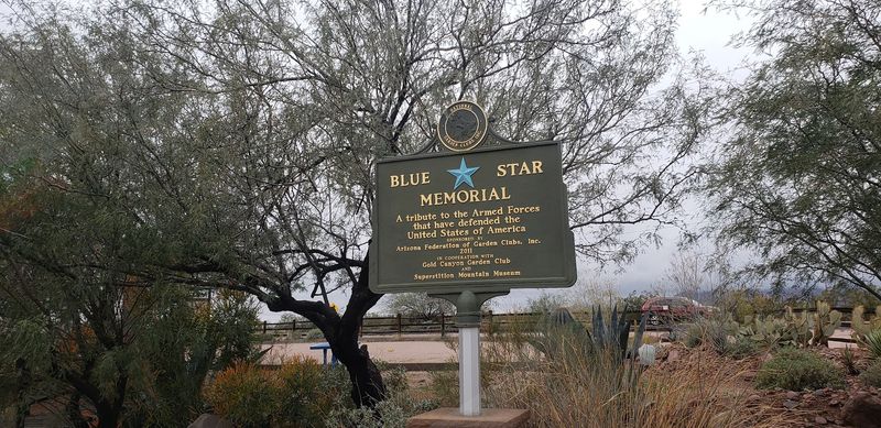
Long before engines rumbled through these canyons, feet did the work. Indigenous tribes moved along these routes between cool mountain camps and warm desert lowlands.
The Salado people used the same corridor around 900 AD. That makes the path older than almost anything else you will drive on in Arizona.
Real construction started in 1903, and the reason was practical rather than pretty. Crews needed a supply route to haul equipment toward the Roosevelt Dam project.
The dam would bring water and power to the Salt River Valley. Workers carved the road by hand, following old footpaths and wagon tracks straight into the Superstition Mountains.
The Southern Pacific Railway later noticed something the engineers had not planned for. The route was gorgeous, so they named it the Apache Trail and sold it as a scenic side trip.
Here is a fun bit of trivia. In 1988 it became the first road in the state honored as a historic and scenic highway.
I felt that history in every curve, knowing hands and hooves shaped the ground under my tires. Your starting point sits at 285 N Apache Trail, Apache Junction, where the pavement and the past meet.
Cliffs, Canyons And Color
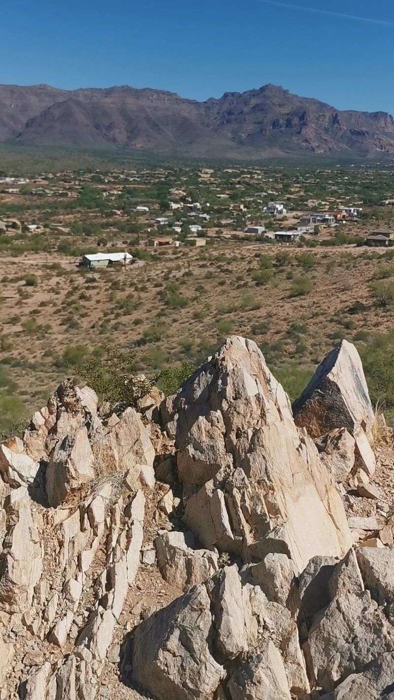
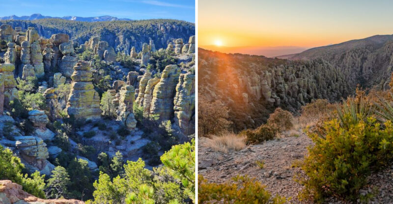
Volcanoes and erosion did the heavy lifting here, and the results are ridiculous in the best way. Cliffs shoot up nearly 2,000 feet above the desert floor.
I kept pulling over because every bend served a new view. Saguaro-studded flats give way to tight canyons, then open into shimmering water.
Massive limestone blocks sit scattered across the terrain like forgotten furniture. They add a sense of deep time that photos never fully capture.
The route, officially State Route 88, runs through Tonto National Forest. That is one of the largest national forests in the country, and the ecosystem variety shows.
Distant mesas stack up on the horizon in soft blue layers. Rolling hills catch the light differently every twenty minutes.
Sunrise and sunset are when the rock really performs. Red, orange, and gold wash across the walls, and the shadows get theatrical.
My advice is simple. Leave early enough to catch that first golden hour, because midday flattens the color.
Driving Tips For Fish Creek
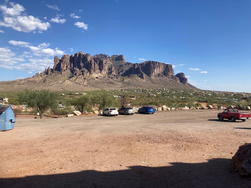
Let me be blunt about the road itself. It rewards patience and punishes rushing.
The full outing is usually a 120-mile round trip through the Superstition Mountains and Tonto National Forest. Most drivers spend six to eight hours, depending on stops.
Pavement runs from Apache Junction to Tortilla Flat, and any standard car handles it fine. Past that point the surface turns to winding dirt.
Fish Creek Hill is the section people talk about. Roughly five unpaved miles drop about 1,500 feet through narrow switchbacks with serious edges.
That stretch reopened in September 2024 after major repairs. Large RVs and trailers are strongly discouraged, and honestly, that warning is not decorative.
Monsoon season runs July through September. Heavy rain triggers flash flooding and rockfall, and closures happen quickly.
Check current conditions with the Arizona Department of Transportation before you leave. Cell service is unreliable once you are deep in the canyons.
Top off your fuel in town and carry more water than you think you need. Drive slow, use pullouts, and let faster locals pass.
Three Lakes In Desert Country
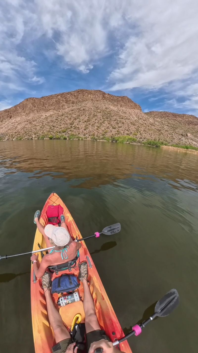
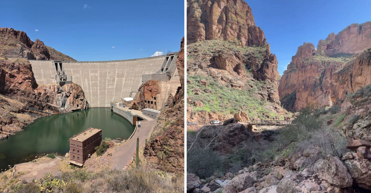
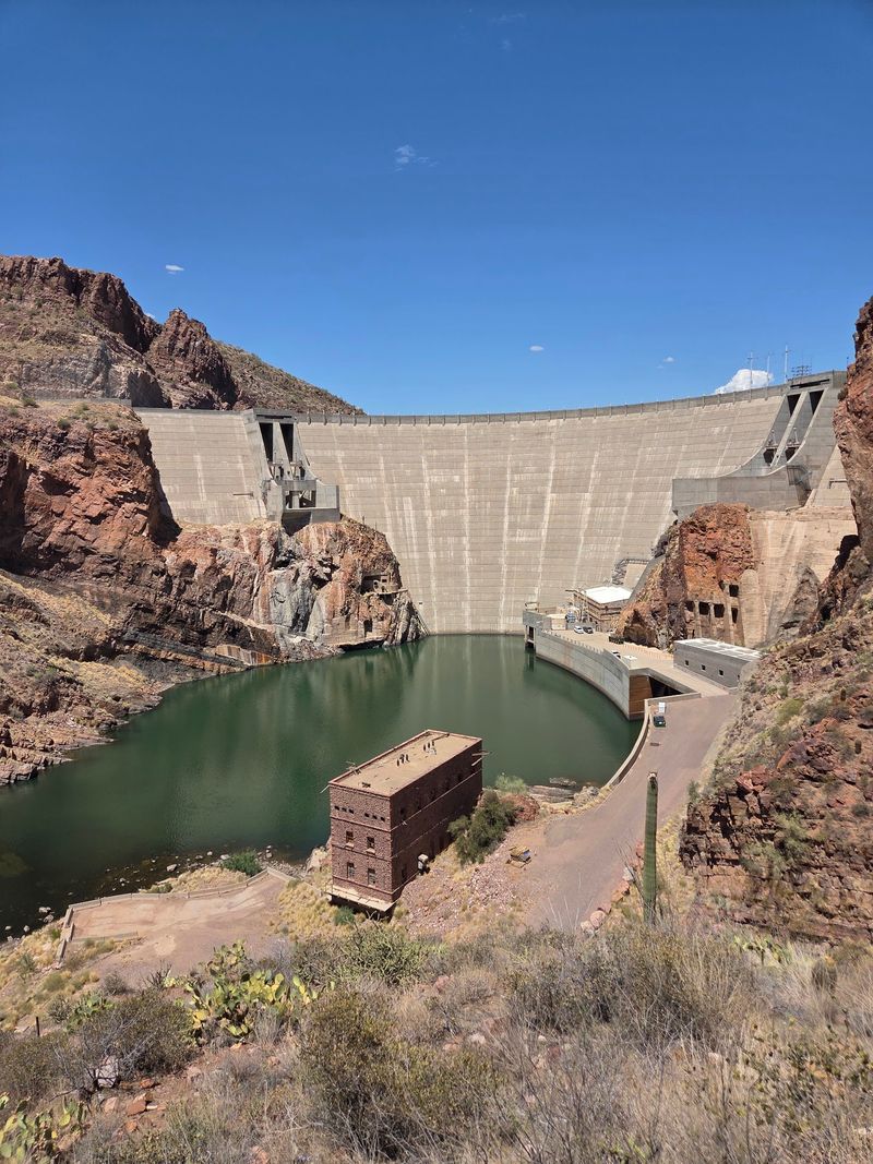
Blue water in cactus country still surprises me every time. Dams along the Salt River created a chain of lakes right alongside the route.
Canyon Lake comes first and photographs beautifully. Steep canyon walls and odd rock formations frame water that looks almost tropical.
Boating, fishing, and water skiing all happen here. Pontoon boats, canoes, and kayaks are available to rent if you want to get on the surface.
Apache Lake sits further along and feels far more secluded. The rougher unpaved approach keeps the crowds thin, which is precisely its charm.
Anglers love it, and lakeside camping is popular. When full, the lake stretches about 17 miles behind Horse Mesa Dam.
Roosevelt Lake anchors the far end of the drive. It holds the title of largest lake located entirely within the state.
I packed a cooler with sandwiches and ate lunch with my feet in the shade. That small break turned into two hours, and I regret nothing.
Boots On The Ground
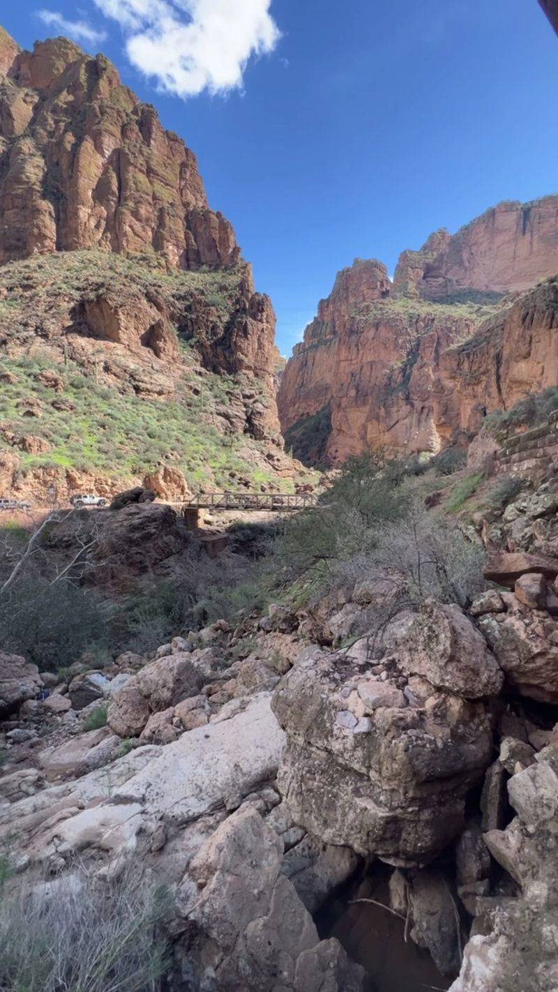
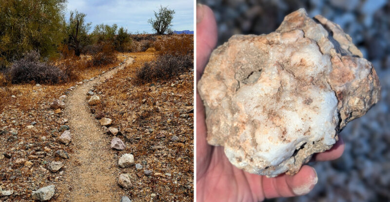
Windshield views are great, but the desert really opens up on foot. The Superstition Wilderness covers more than 160,000 acres.
Twelve trailheads feed roughly 180 miles of trails. That is enough hiking to fill several vacations.
Lost Dutchman State Park makes an easy launch point at the base of the mountains. The Treasure Loop Trail runs 2.4 easy miles with big mountain views.
Families and first-timers do well on that one. Kids tend to love spotting lizards along the way.
Boulder Canyon Trail starts near Canyon Lake and asks much more of you. The full 14-mile round trip delivers sweeping panoramas of the Superstitions.
Reavis Falls Trail is the serious challenge, a 12.8-mile out-and-back between Apache Lake and Roosevelt Lake. The reward is a seasonal waterfall close to 200 feet tall.
Adventurous types also scramble through Apache Trail Canyon, working over boulders and past hidden tunnels. Good gloves and caution are non-negotiable there.
Start early, carry at least a gallon of water per person, and tell someone your plan. Trails here are stunning, but they do not hand out second chances casually.
Wildflowers, Bighorns And Cacti
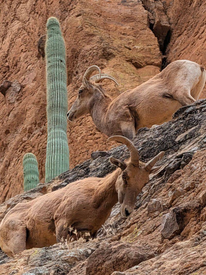
The Sonoran Desert is far busier than it looks from a moving car. Saguaro cacti stand tall across the slopes like quiet landmarks.
Cholla, prickly pear, and big agaves fill in the spaces between. Each one has its own strategy for surviving the heat.
Spring after a wet winter is the showstopper. Mexican gold poppies, blue lupine, and purple owl clover blanket the hillsides in color.
The western slopes of the Superstitions tend to bloom especially well. I watched an entire ridge turn orange in the morning light.
All that plant life supports serious wildlife. Desert bighorn sheep often appear near Fish Creek Hill and along rugged canyon edges.
Javelina, deer, coyotes, bobcats, and mountain lions all roam these lands. Most stay hidden, which is exactly how they prefer it.
Hawks and vultures circle overhead, riding thermals in slow spirals. Binoculars turn a good drive into a proper safari.
Keep your distance from everything with teeth or hooves. Watching this desert go about its daily business gave me a whole new respect for how much life Arizona hides in plain sight.
Ghost Town To Gelato
Not every stop involves rocks and water, thankfully. Goldfield Ghost Town shows up early and pulls you straight into the 1890s.
The reconstructed mining community has shops, boardwalks, and staged gunfights. It is a playful crash course in the boom-and-bust gold years.
Tortilla Flat comes later and might be the smallest place I have ever visited. The population sits at six people.
That tiny stagecoach stop keeps its Old West personality intact. A general store and a restaurant handle the crowds that roll through daily.
Prickly pear gelato is the local specialty, and yes, I ordered a second scoop. Bright pink, faintly floral, and exactly what a dusty afternoon needs.
Canyon Lake offers something different again. Scenic tours aboard the Dolly Steamboat glide past towering canyon walls and quiet side coves.
Seeing those cliffs from water level changes the scale completely. Rock faces that looked big from the road suddenly feel enormous.
Space these stops out rather than cramming them together. Half the fun of the Apache Trail is letting each little detour stretch longer than planned.
Picking Your Perfect Season
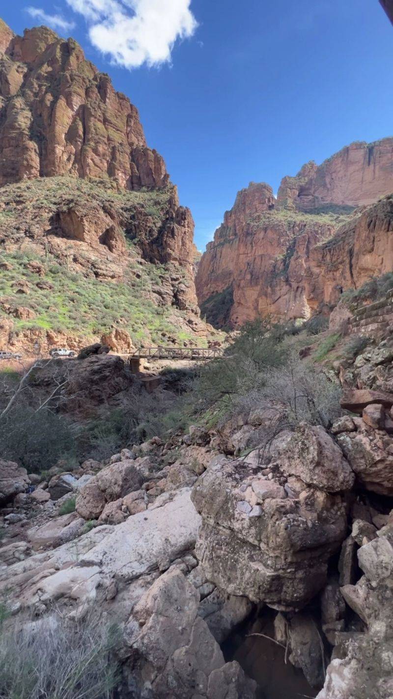
Timing changes this drive more than any other factor. Spring, March through May, and fall, September through November, hit the sweet spot.
Daytime temperatures usually land between 60 and 80 degrees. That range makes hiking, photography, and long stops genuinely comfortable.
Spring adds wildflowers to the deal when winter rains cooperate. Color spills across slopes that look bare the rest of the year.
Winter, roughly October through April, also works nicely. Mornings turn crisp and cool, then warm up pleasantly by midday.
Higher elevations can occasionally see snow or slick patches. Checking conditions before departure keeps surprises to a minimum.
Summer is a different animal entirely. Highs regularly pass 100 degrees and sometimes climb beyond 110.
Visiting then is possible with real preparation. Bring plenty of water, sunscreen, light clothing, and start at dawn.
For thinner crowds, aim for weekdays in September, early October, or May. Local traffic lightens noticeably outside peak weekends.