This California Bike And Hike Trail Has Scenic Overlooks Worth The Climb
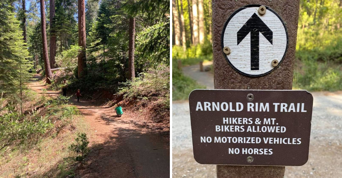
Anticipation builds differently when the reward has to be earned step by step.
One bike and hike trail in California leads to scenic overlooks that make every bit of the climb feel justified.
Sweat, steady effort, and a little curiosity give the journey its shape, while the views at the top bring that sudden rush that makes people stop talking for a second.
Open sky and sweeping scenery have a way of resetting the mood almost instantly.
Reaching a place like this can feel satisfying in a deeper way because nothing about it is handed over too easily.
Every uphill stretch adds to the payoff. By the time the trail gives way to those overlooks, the whole outing feels brighter, lighter, and wonderfully worth it.
A Trail System, Not Just One Simple Route
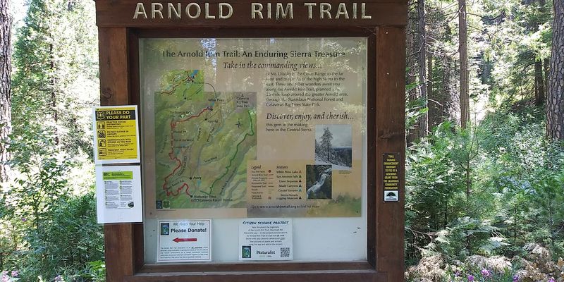
Most people hear a single mileage number and assume a trail is one straightforward out-and-back path, but the Arnold Rim Trail works quite differently.
The U.S. Forest Service classifies it as a non-motorized trail system designed for hikers, mountain bikers, and equestrians, with multiple access points and connectors spread across the landscape.
Older Calaveras tourism materials described it as a 17.5-mile trail system, and current resources reflect that same network structure with several distinct trailheads rather than one fixed-length route.
That setup means two people can visit on the same weekend and have completely different experiences depending on where they start and how far they go.
Planning a visit works best when the trail is approached as a flexible system rather than a single destination.
Downloading the Avenza app or grabbing a map from the official Arnold Rim Trail website before heading out helps make sense of the connectors and keeps navigation straightforward.
Panoramic Views That Stretch for Miles
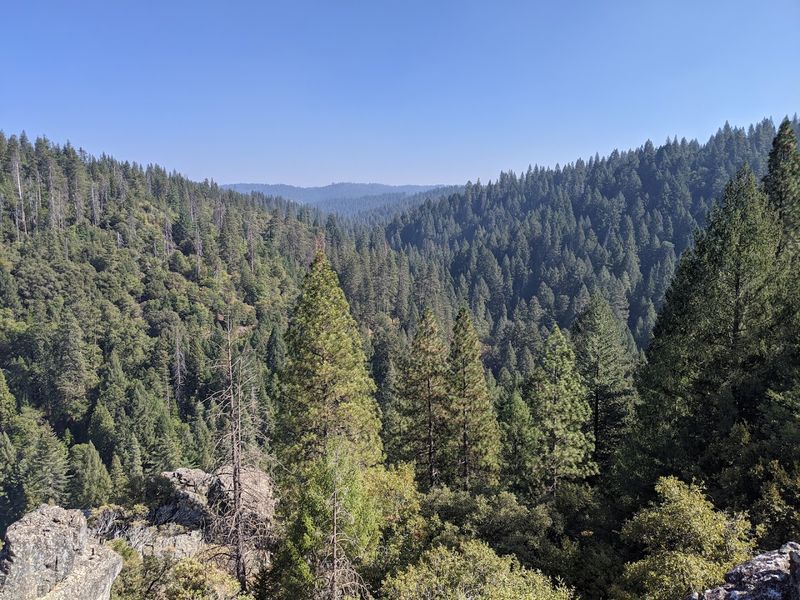
Few trails in California’s mid-elevation Sierra range can claim views that span from Mount Diablo all the way to Mount Lyell near Yosemite, but the Arnold Rim Trail makes that case on a clear day.
The Forest Service highlights these panoramic vistas as one of the defining features of the trail, and the elevation gain that leads to them starts to feel very justified once the forest opens up.
Standing at one of the higher viewpoints with that kind of distance stretching out ahead is genuinely humbling.
The combination of canyon depth below and mountain range above creates a sense of scale that photographs struggle to fully capture.
Timing matters when chasing these views. Morning light tends to be clearer before afternoon haze builds, and visiting on a dry, low-wind day gives the best chance of seeing the full distance.
Midweek visits also tend to be quieter, which means more time to linger at the overlooks without feeling rushed by other trail users coming up behind.
Cougar Rock and Top of the World Overlooks
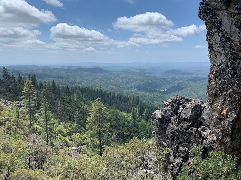
Some named viewpoints earn their reputations, and Cougar Rock along with the Top of the World overlook are two spots on the Arnold Rim Trail that genuinely deliver.
The Forest Service specifically notes that the Valley View Drive Trailhead provides the shortest route to both of these destinations, making it the go-to access point for anyone focused on reaching the scenic highlights efficiently.
Cougar Rock sits above a dramatic canyon drop, and the exposure at the edge gives the view an almost theatrical quality.
Top of the World lives up to its name with an elevated vantage point that feels removed from the forest floor in a satisfying way.
Getting to either spot involves some climbing, and the terrain near Valley View Drive can include steeper sections that require steady footing.
Wearing trail shoes with grip rather than casual sneakers makes a noticeable difference on the rocky stretches.
Both viewpoints tend to be worth the extra effort, and the sense of arrival at each one has a way of making the uphill feel like a fair trade.
San Antonio Falls Overlook Along the Trail
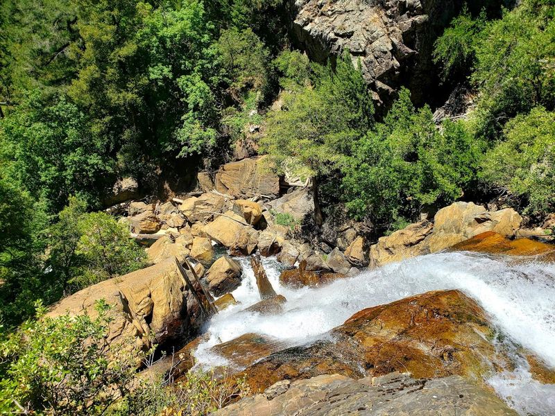
Not every great trail feature involves a sweeping mountaintop view, and the San Antonio Falls Overlook proves that point well.
Accessible via a spur trail branching off the main Arnold Rim Trail, the overlook provides a view of a waterfall tucked within the forest that adds a quieter, more enclosed kind of beauty to the overall experience.
Calaveras tourism materials have consistently highlighted San Antonio Falls as one of the notable features along the trail, and it tends to draw visitors who want more than just elevation gain.
The sound of moving water in a shaded forest setting creates a noticeably different atmosphere from the exposed ridge sections elsewhere on the trail.
Water flow at the falls varies by season, with spring and early summer typically offering the most impressive volume after snowmelt.
Visiting later in summer or during dry years may result in reduced flow.
Bringing extra water regardless of the season is a good habit on any section of the Arnold Rim Trail, particularly on warmer days when the forest shade only does so much to keep temperatures comfortable.
Sierra Nevada Logging Museum as the Northern Trailhead
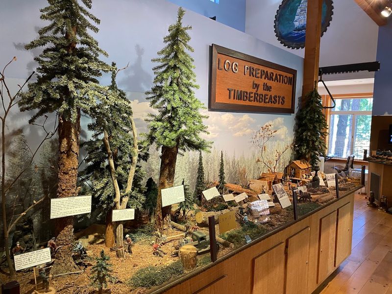
Starting a hike next to a logging museum might sound like an unusual combination, but the Sierra Nevada Logging Museum in White Pines makes for one of the most interesting entry points on the entire trail system.
The museum sits at the northern terminus of the Arnold Rim Trail, and the outdoor equipment displays give visitors something genuinely worth slowing down for before the hike begins.
The Forest Service notes that the first mile from this trailhead is paved and gently graded, making it one of the more accessible sections of the trail for visitors who may have mobility considerations.
That paved stretch follows alongside the lake and transitions gradually into the wider forest trail further south.
Logging history in the Sierra Nevada runs deep, and the outdoor exhibits at the museum provide context for the landscape being walked through. Large chainsaw and rigging displays show the scale of the industry that shaped these forests for generations.
The museum at 2158 Dunbar Rd, Arnold, CA 95223 is open seasonally, so checking ahead before planning a visit ensures the indoor exhibits are available alongside the always-accessible outdoor displays.
Multiple Trailheads Mean Multiple Experiences
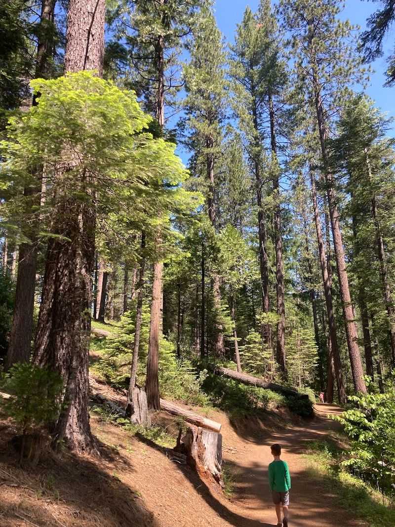
One of the most practical things to understand about the Arnold Rim Trail is that the experience changes significantly depending on which trailhead is used.
Current Forest Service pages list access via the Logging Museum, Cedar Center, Valley View Drive, San Domingo Southern Trailhead, and other points along the corridor, each offering a different starting elevation and connection to the trail network.
Valley View Drive is the recommended starting point for reaching Cougar Rock and Top of the World in the shortest distance.
The Logging Museum trailhead suits visitors who want the accessible paved section or the gradual forest entry.
San Domingo and other southern access points tend to appeal more to mountain bikers looking for technical terrain and longer loops.
Signage along the trail has been noted as somewhat inconsistent in places, which is why having a downloaded map or trail app loaded before leaving the car matters.
Cedar, Pine, Fir, and Oak Define the Forest Feel
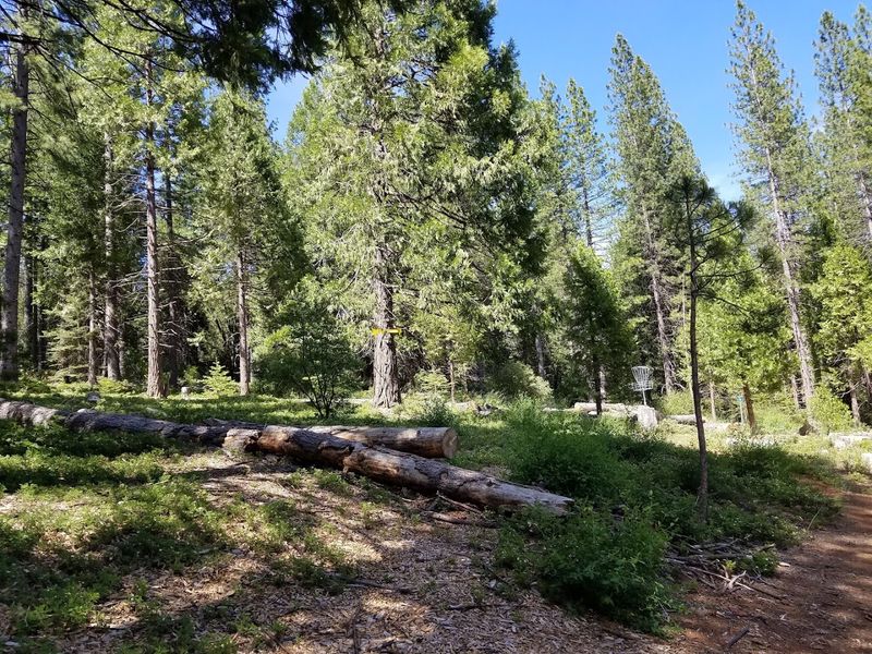
The forest along the Arnold Rim Trail has a distinctly mid-elevation Sierra character that sets it apart from coastal paths or foothill walks.
Cedar, pine, fir, and oak trees line much of the route, creating a canopy that shifts in density depending on the section being traveled.
The shade is a welcome feature on warm days, and the texture of the forest floor changes noticeably as the trail moves through different tree communities.
Official descriptions from the Forest Service emphasize the wilder, canyon-and-stream quality of the landscape rather than a manicured park setting.
Canyons cut through the terrain in places, and small streams cross or run alongside certain sections, adding sound and movement to the experience.
Wildlife sightings are possible along the trail, including birds, deer, and occasionally black bears, which means staying alert and keeping dogs on leash is genuinely important rather than just a posted formality.
The forest here feels lived-in rather than landscaped, and that rawness is part of what makes a walk through it feel like something more than exercise.
Mountain Biking Is a Core Part of the Trail’s Identity
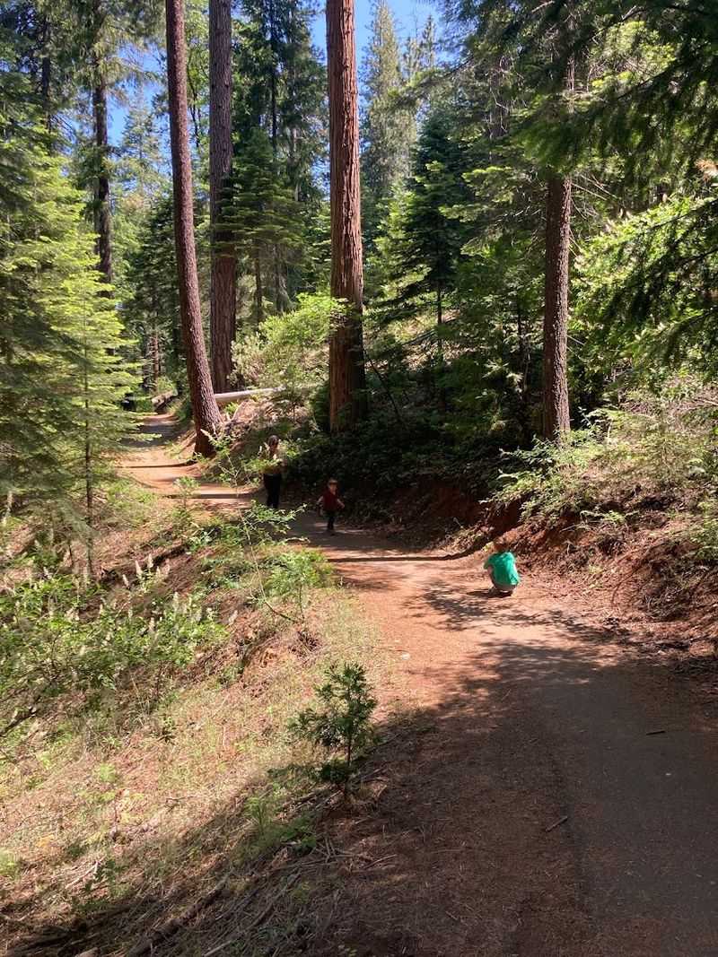
The Arnold Rim Trail was built with mountain bikers in mind from the start, and that intention shows in how the trail system is structured.
The Forest Service repeatedly classifies it for mountain biking, and local Calaveras tourism actively markets it as a destination for both hiking and biking rather than treating cyclists as an afterthought.
The mix of forest singletrack, elevation change, and viewpoint rewards makes it appealing for riders who want more than flat fire roads.
Some sections include steeper climbs and more technical terrain, which tends to suit intermediate to advanced riders better than complete beginners.
That said, the variety of access points means riders can choose segments that match their skill level rather than committing to the most demanding stretches.
Sharing the trail with hikers and equestrians requires some awareness, particularly on narrower sections where passing space is limited.
Slowing down near blind corners and calling out when approaching other users from behind keeps the experience safe and pleasant for everyone.
The Trail Connects Communities Along Highway 4
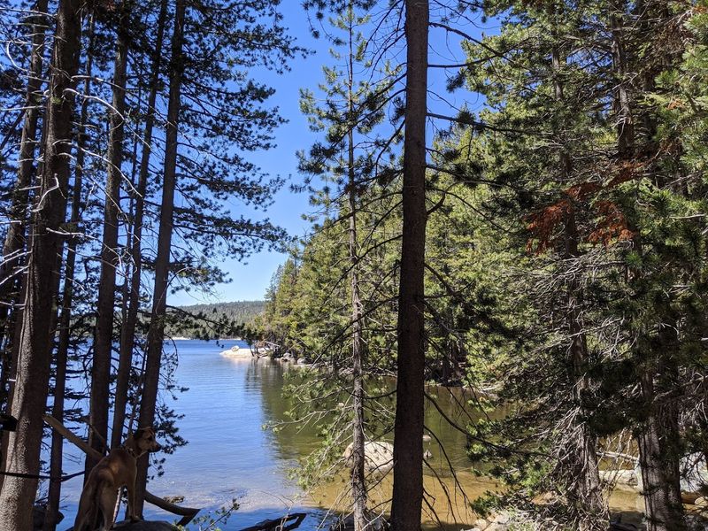
What makes the Arnold Rim Trail structurally interesting beyond its scenery is the deliberate intention behind its design.
The Forest Service states that the system was built to connect communities along Highway 4 with public lands on the Ebbetts Pass National Scenic Byway corridor, which means the trail functions as a community resource as much as a recreational destination.
Towns like Arnold and White Pines sit along this corridor, and residents have direct trail access from trailheads that are woven into the edge of those communities rather than placed deep inside a distant wilderness.
That accessibility makes it genuinely different from trails that require a long drive just to reach the starting point.
For visitors, that community connection also means that small services like parking areas, restrooms near certain trailheads, and nearby amenities in Arnold are reasonably close.
The trail does not feel isolated in a way that requires extensive backcountry preparation for shorter segments.
Longer outings along the full system, however, do benefit from carrying extra water, snacks, and a downloaded map since services thin out quickly once the trail moves away from the community access points.
Trail Etiquette Matters on a Multi-Use System
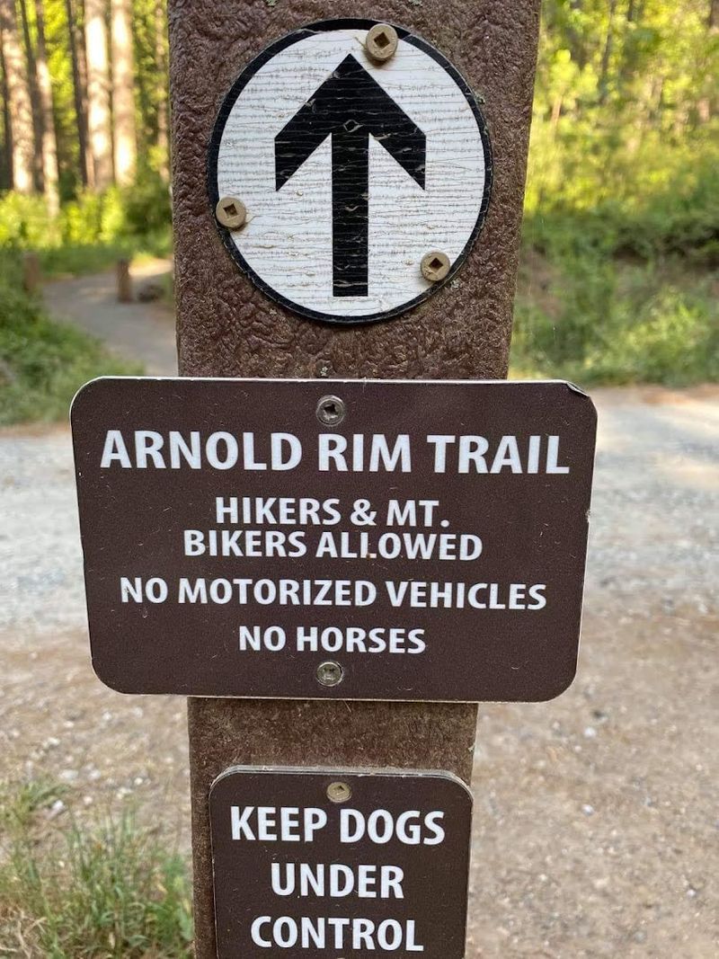
Sharing a trail with hikers, mountain bikers, and equestrians requires a bit more awareness than walking a single-use path, and the Arnold Rim Trail is explicit about that expectation.
The official trail use guidelines encourage following Leave No Trace principles, yielding appropriately to other users, and keeping pets under control at all times.
The yield hierarchy on multi-use trails generally places equestrians at the top, followed by hikers, with cyclists yielding to both.
On narrow sections of the Arnold Rim Trail, that hierarchy becomes practically important since horses can be startled by fast-moving bikes approaching without warning.
Slowing down and making calm verbal contact before passing a horse and rider is the standard expectation.
Dogs are allowed on the trail but should remain leashed, particularly on sections with steep drop-offs or heavy bike traffic.
Off-leash dogs near cyclists create genuine safety risks for both the animal and the rider.