This 50-Mile Connecticut Bike Trail Follows An Old Railroad Through Forests, Wetlands, And Historic Bridges
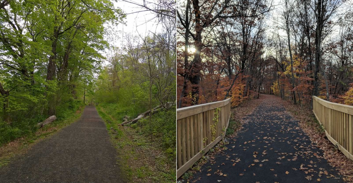
Cycling fifty miles sounds ambitious until the route starts doing most of the convincing for you.
This trail follows an old railroad corridor, so the grade stays gentler than many riders expect. Long stretches feel made for settling into a steady rhythm rather than fighting every hill.
For anyone craving a bigger ride, Connecticut has a route that mixes history with scenery without turning the day into a grind.
The landscape keeps changing as you go. One section feels shaded and quiet, while another opens beside water or carries you across an old bridge with a story behind it.
That variety makes the miles pass faster than the number suggests. You can ride a shorter section or keep pushing when curiosity wins.
There is enough room here for adventure without needing technical skills.
By the end, fifty miles may sound less intimidating than it did at the start.
So how far would you go next time?
1. Fifty Miles Of Old Railroad History
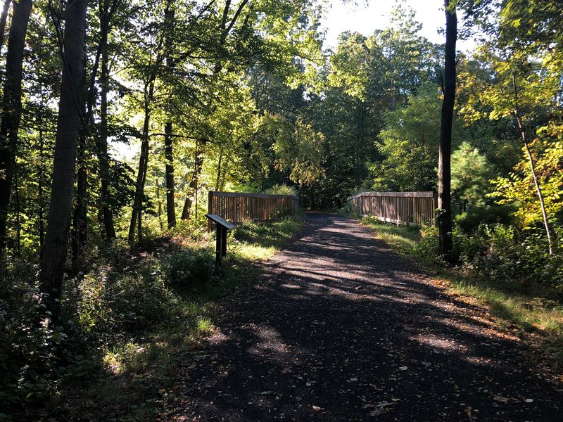
This trail got its name from a railway idea that sounded almost too neat to work. In the 1800s, planners wanted a more direct route between New York and Boston, following what they described as an “air line” between the cities.
Turning that drawing-board shortcut into actual track was the hard part.
Crews blasted through rocky highlands and built huge fills across valleys to keep grades manageable for trains. Those engineering choices still shape the ride today.
Rock cuts rise beside the trail, while long level stretches make pedaling feel surprisingly easy for such hilly country.
By the 1880s, the route was carrying fast passenger trains, including the New England Limited. In 1891, gleaming white Pullman cars with gold trim helped inspire the famous “Ghost Train” nickname and turned the journey into a spectacle.
Rail use declined over time, and a major 1955 flood accelerated closures along parts of the route. Large sections were abandoned during the 1960s, and the corridor was deeded to the state in 1975.
That history is still under your wheels. The gentle grade was designed for locomotives, and cyclists now get to enjoy the payoff without needing a steam engine to appreciate all that engineering.
2. Portland Sits At The Southern End
Portland holds the southwestern tip of the whole corridor, and it is a low key place to begin.
Locals sometimes call this piece the Portland Air Line State Trail, and a 2.3 mile section officially opened to the public in 2018, running from the East Hampton town line and passing near YMCA Camp Ingersoll.
Some sources list the Portland stretch as long as 2.9 miles, so expect a short but pleasant outing rather than an all day expedition from this end.
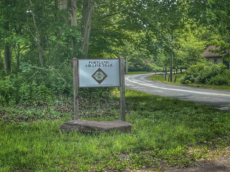
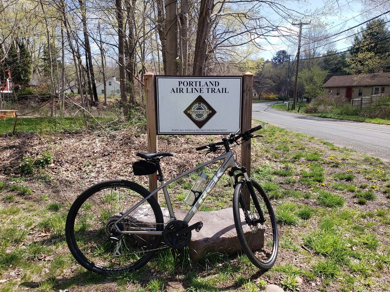
Drivers will find parking off Middle Haddam Road, with the trailhead marker at 82 Middle Haddam Rd, Portland, CT 06480. Visitors frequently mention how generous the lot feels for such a quiet spot, and a roadside sign keeps you from sailing past the turn.
Part of this section crosses land maintained by Eversource Energy under an agreement allowing public recreational use, which explains the occasional utility corridor view.
One honest heads up. The access path climbs a modest grade at the start, so your legs warm up quickly, and the surface here is gravel that can find its way into low shoes.
Gates across the path are there to keep vehicles out, and people simply walk or ride around them.
3. Long Quiet Stretches Through Woods And Wetlands
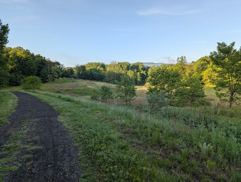
Quiet is the trail’s signature. Long portions run through thick woodland, open meadows, and marshes where the loudest sound might be wind moving through cattails or a woodpecker working a dead limb.
The corridor passes through or beside several protected areas, including Mashamoquet Brook State Park, Natchaug State Forest, Goodwin State Forest, Raymond Brook Marsh, and Salmon River State Forest.
That patchwork of public land is a big reason the scenery keeps changing instead of blurring together.
Bird watchers do especially well here. Wetland edges attract herons, red winged blackbirds, and turtles sunning on logs, and early morning is when the marshes feel most alive.
Farther north the sense of solitude deepens. Entry points thin out, road noise fades, and you can ride for stretches without seeing another person, which some travelers love and others find a little lonely.
The middle sections between East Hampton and Willimantic earn frequent praise for their peaceful character and steady green scenery.
Practical tip for anyone heading out in warm months. Bring bug spray, since still water nearby means insects can be active, and pack more water than you think you need because facilities along the route are limited.
4. Historic Bridges Still Shape The Route
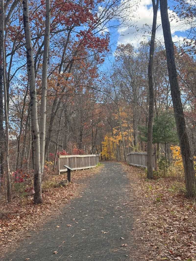
Water shows up constantly along this route, and the old railroad answered with bridges. Crossings over the Blackledge and Jeremy Rivers still carry original stonework, and pausing on one gives you a clean view down to the current sliding over rocks below.
Masonry like this rewards a closer look. Hand cut blocks, weathered mortar joints, and mossy abutments tell you these structures were built to last far longer than anyone expected them to be used.
History fans can add a worthwhile detour. From the Bull Hill Road trailhead, a 1.4 mile on road side trip leads to the Comstock Covered Bridge, originally built in 1791 and one of the few covered bridges remaining in the state.
Because that stretch involves riding on public roads, it suits confident cyclists more than young children, and walking bikes across busier spots is never a bad call.
Small bridges also make excellent rest points. There is usually shade, a place to lean a bike, and moving water that cools the air a few degrees on a hot afternoon.
Keep an eye out for stonework hiding under vegetation too, since not every crossing announces itself with a sign.
5. Viaduct Views Add Some Drama
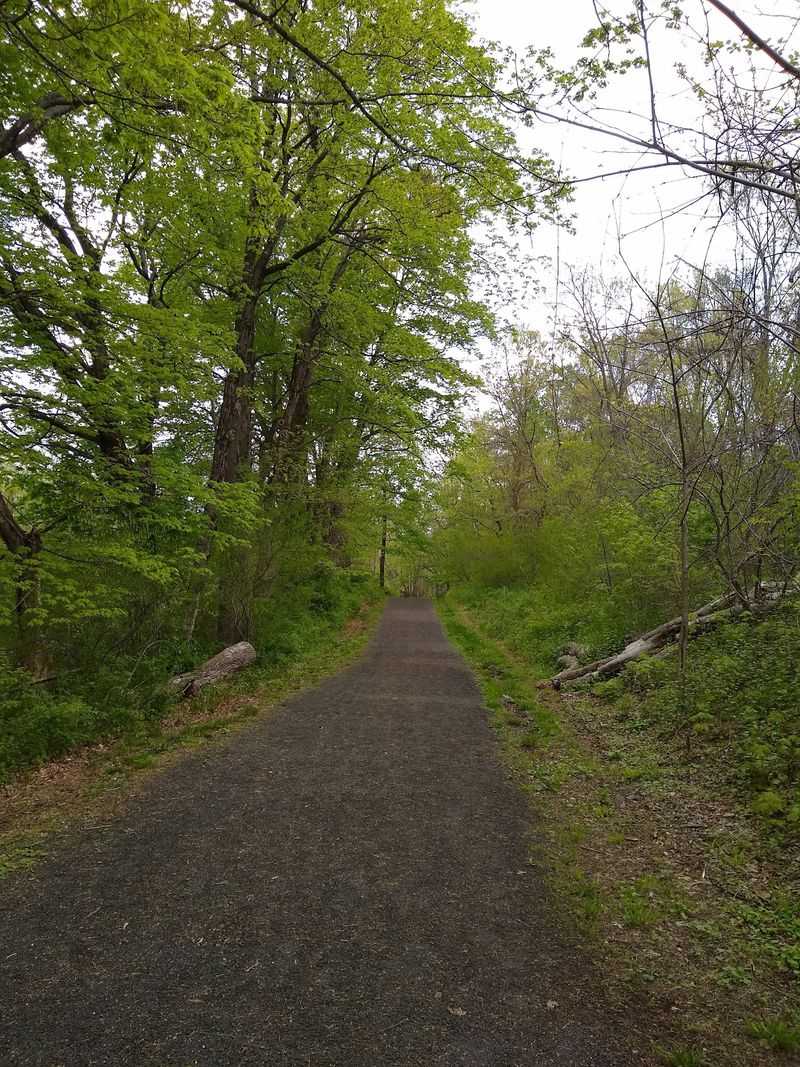
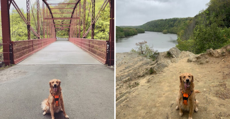
Two structures steal the show along the corridor, and both date to the 1870s. The Rapallo Viaduct spans about 800 feet across Flat Brook, while the Lyman Viaduct stretches 1,112 feet over Dickenson Creek and reaches a maximum height of 137 feet.
Standing up there, treetops sit well below the path and the surrounding hills roll outward in every direction. It is the closest thing on the trail to a mountain overlook, and the payoff arrives without any real climbing.
The Lyman Viaduct was built as a wrought iron post deck truss, and both crossings rank among the world’s first wrought iron railroad trestles. They were added to the National Register of Historic Places in 1986.
Here is the twist that saved them. Rather than replacing the aging ironwork, the successor railroad buried the trestles in sand and fill, which preserved the original structures inside the embankments you now ride across.
The two sit only about 1.2 miles apart, straddling East Hampton and Colchester, so you can visit both in a single easy outing.
Autumn turns the view into a wash of orange and gold that regulars plan their whole season around.
6. Eastern Highlands Scenery Around The Next Bend
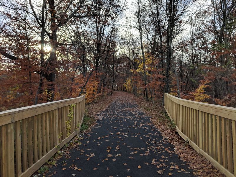
Connecticut’s Eastern Highlands gave the original builders headaches and gave modern trail users their reward. Ridges and valleys forced constant cuts and fills, and the result is a level path threading through terrain that would otherwise be a workout.
Scenery shifts every few miles. One moment you are in tight forest, the next the trees open onto a hillside view or a broad wetland basin.
The level stretch through Goodwin State Forest in Hampton is known for its smooth surface and easy rhythm, making it a favorite for families and anyone testing out a longer ride.
Elsewhere the path offers glimpses of Raymond Brook Marsh and the wide woodlands of Salmon River State Forest, both good places to slow down and look rather than sprint through.
Fall is the headline season. Visitors regularly describe the foliage here as spectacular, with maples arching over the corridor and leaves crunching under tires.
Spring has its own appeal, with ferns unrolling along the edges and water running high in the brooks.
Whatever the month, plan for changing light. Deep tree cover keeps things cool, but shaded sections can feel dim in late afternoon, so start earlier than you think.
7. Miles Of Riding Away From Busy Roads
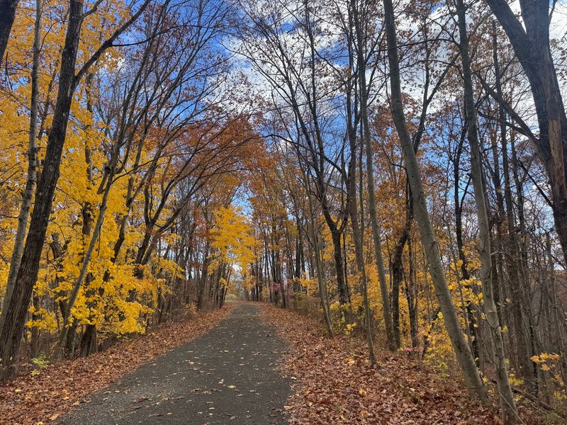
Anyone tired of sharing pavement with traffic will appreciate what this corridor offers. Because it follows a former rail bed, the grade stays gentle for mile after mile, and cars are simply not part of the picture.
That flatness opens the trail to a wide range of people. Casual strollers, runners logging steady miles, families on a weekend spin, and horseback riders all use designated sections.
Surfaces vary more than you might expect. Much of the route is well packed crushed stone, dirt, or gravel, but some stretches still carry original rail ballast that feels bumpy and loose underfoot.
For those rougher patches, wider tires make a real difference, and a fat tire or sturdy mountain bike is often recommended. Skinny road tires will fight you.
Sturdy shoes help walkers too, since gravel has a habit of working into low cut sneakers.
Water deserves a spot in your pack because amenities along the route are sparse and spaced far apart.
In Portland, the marked trailhead area generally opens around 6:30 in the morning and closes in the evening, though seasonal hours can shift, so checking before an early start is smart.
8. A Former Rail Line Turned Into A Scenic Escape
Rail to trail projects do not always succeed, but this one turned an abandoned line into something eastern Connecticut genuinely uses. What began as a corridor for express trains now serves people on foot, on bikes, and on horseback, and it keeps growing.
Modern travelers get to enjoy many of the same wide views that once made the railroad famous, only at a pace slow enough to actually take them in.
The trail also plays a bigger role than its length suggests. Large portions form part of the East Coast Greenway, the long distance route working to link communities from Maine to Florida.
Connections continue at both ends. The corridor ties into the Southern New England Trunkline Trail at the Massachusetts line and links with the Hop River State Park Trail, giving ambitious riders room to plan multi day adventures.
In Portland, some segments remain separate from the longer eastern portion, and connecting them has been a long running local hope.
That unfinished quality is part of the charm, honestly. You are riding a work in progress, one built by people who saw an overgrown rail bed and imagined something better.
Come back in a few years and it may stretch farther still.