This Epic Kentucky Trail Runs Nearly 60 Miles Through The Woods And Crosses Into Tennessee
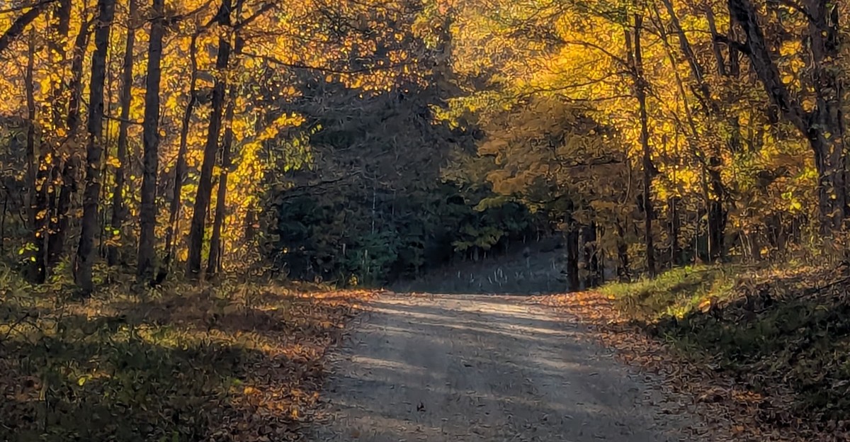
One footpath follows white diamond blazes for nearly 60 miles and starts in one state but finishes in another. Along the way, it passes old cemeteries and traces of communities that existed before the dams came.
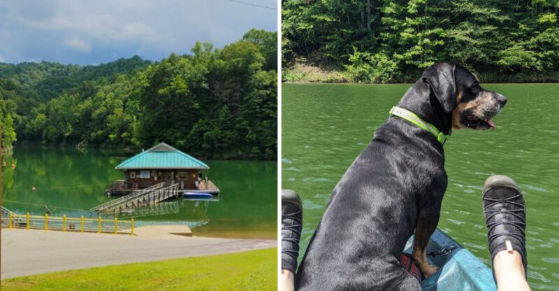
It amazes me how the whole route rides a skinny strip of land with a giant lake on each side. Kentucky Lake sits to the west, and Lake Barkley hugs the east.
That means water views keep popping up through the trees.
Kentucky gets the rugged, hilly northern miles. Tennessee takes the gentler southern stretch, ending near a working farm set in the 1850s.
I can’t imagine a better way to cross a state line than on foot, with bald eagles possibly circling overhead. How far would you go?
A Footpath That Refuses To Stay In One State
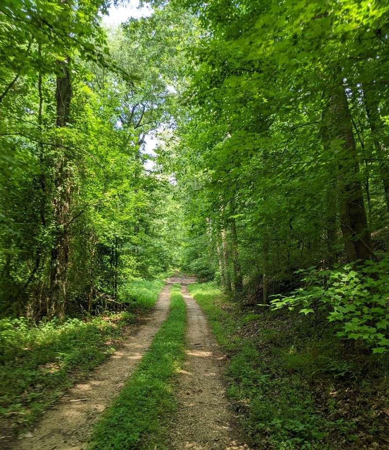
Two lakes, two states, one very long walk. The North/South Trail runs the full length of Land Between the Lakes National Recreation Area, starting in western Kentucky and ending in northwestern Tennessee.
Measurements vary depending on who’s holding the map. You’ll see figures anywhere from about 57 to 65 miles, with many sources settling near 59.
Either way, that’s a lot of woods.
The whole thing follows white diamond blazes painted for hikers. Keep your eyes on those markers, because the trail mixes narrow single-track paths with old double-track roadbeds.
Some stretches feel wild and tight, while others feel like a forgotten country lane.
The recreation area itself covers about 170,000 acres between Kentucky Lake and Lake Barkley. It’s managed by the U.S.
Forest Service, Southern Region. That federal care helps explain why so much of the land still feels open and quiet.
Nobody says you have to tackle all of it at once. Plenty of folks hike one section at a time, like reading a thick book one chapter per weekend.
Pick a piece, lace up, and see how hooked you get.
Your Calves Will Notice The Northern Hills First
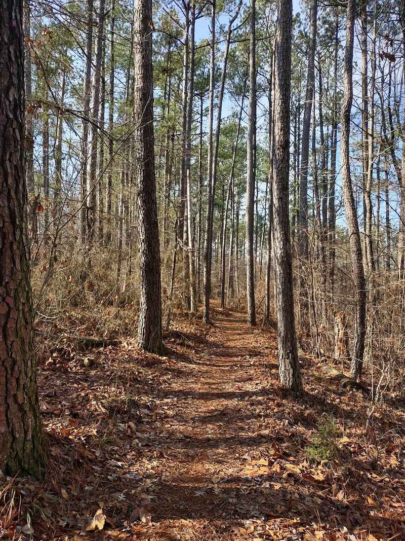
Rolling hills ahead. The northern miles in Kentucky carry the trail’s toughest reputation, with ups and downs that keep your legs working steadily.
The overall route is rated moderate to strenuous. Most of that strenuous label belongs to the north, where ridges and valleys trade places again and again.
Creeks cut through the low spots, so expect some climbing back out.
Hikers share part of this northern stretch with mountain bikers. The northern portion is multi-use, so stay alert on curves and give riders room.
A friendly wave works wonders.
Things ease up once you head south toward Tennessee. The southern sections are generally gentler and less tiring, which is great news for tired knees.
Many beginners prefer starting there to build confidence.
So which end fits you best? Strong, experienced hikers often enjoy the northern challenge.
Families or first-timers may want the softer southern miles. Neither choice is wrong, and both deliver plenty of forest.
A smart plan matches your mileage to the terrain. Five hilly miles can feel like eight flat ones.
Pack snacks accordingly and let your pace set itself.
Lake Views Sneak Through The Trees On Both Sides
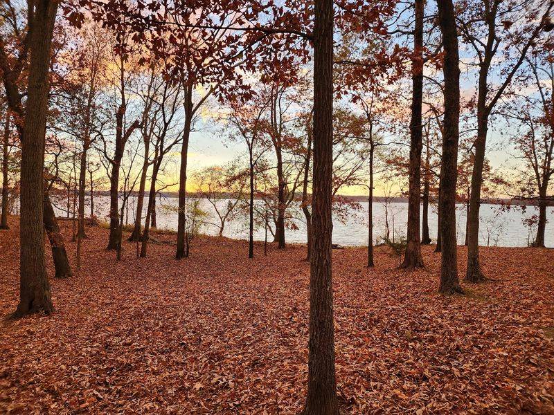
Kentucky Lake ranks among the largest artificial lakes east of the Mississippi River. Lake Barkley stretches along the other side.
Your trail runs right down the land between them, which is exactly how the place got its name.
That setup creates a fun bonus. Water views can show up through the trees on either side, depending on where you are.
A quiet forest walk suddenly opens up into shining blue.
Winter and early spring may help here. With leaves off the branches, the woods feel more open.
Summer brings thick green shade instead, which your sunburned neck will appreciate.
The lakes matter for practical reasons too. Drinkable water is nearly nonexistent along the trail, and springs aren’t reliable.
Hikers must carry their own supply or filter lake water with a dependable system.
That’s a big deal on a long trip. Running dry miles from a road isn’t fun.
Plan your stops, know where the shoreline sits, and bring more water than you think you need. Your future self will thank you halfway up some ridge in Kentucky.
Old Cemeteries Tell Stories The Lakes Covered Up
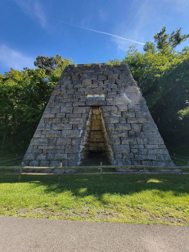
Long before the dams, families farmed, worshipped, and built communities across this peninsula. Their traces still sit along the trail today.
Hikers can pass old cemeteries from the pre-dam era. Remnants of former communities also show up in the woods.
It adds a thoughtful layer to what could otherwise be just a pretty walk.
Here’s a good habit: treat these spots with respect. Look, read, and photograph, but leave everything exactly as you found it.
These places still carry meaning for families connected to the area.
I believe history hits harder when you reach it on foot. A paved museum hall is nice, but a mossy headstone deep in the forest feels different.
You earn that moment mile by mile.
Curious kids often love this part. A cemetery or old roadbed can spark questions about who lived here and how life looked.
That’s a lesson no worksheet can match.
Bring a little curiosity in your pack along with the trail mix. The forest feels quiet now, but it once held busy neighborhoods.
Remembering that makes every step a little richer.
Keep Your Binoculars Handy For Eagles And Beavers
Bald eagles. Ospreys.
Busy beavers. That’s not a zoo list, it’s the kind of wildlife hikers may spot along this route.
Songbirds fill the hardwood forests too. Seasonal wildflowers brighten the trail edges when the weather warms.
Quiet, secluded stretches give animals space to stay active.
Want better odds? Walk softly and talk less.
Early mornings and evenings are classic wildlife times, so consider timing your hike around them. A small pair of binoculars barely adds weight.
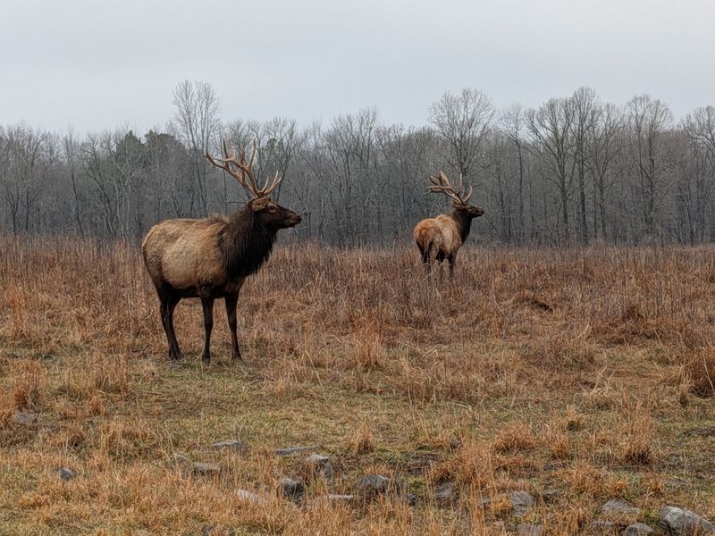
Near the trail sits one of the recreation area’s most famous attractions, the Elk and Bison Prairie. You drive through it slowly and watch the big animals roam.
It makes a fantastic stop before or after a hike.
Fall can be especially lively there. Elk bugle during that season, and the sound is wild enough to give you goosebumps.
It’s a very loud reminder that you’re in their neighborhood.
Always keep a safe distance from any animal. Never feed wildlife, even the cute ones begging with their eyes.
Snap your photo, enjoy the moment, and let them carry on with their day.
Sleeping Under The Stars Takes A Little Paperwork
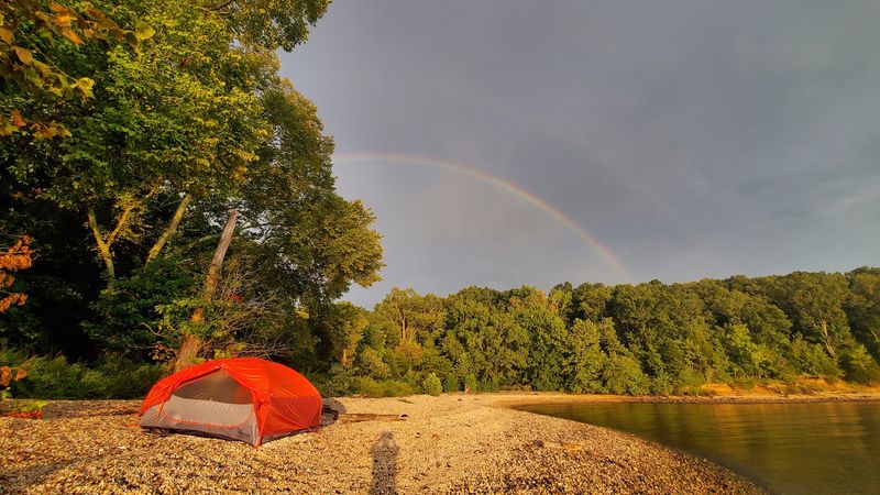
Overnight trips are where this trail really shines. Backpackers can spend multiple days walking from one state toward the other.
Backcountry shelters help with the planning. The northern section has three, and the southern section has two.
They make handy targets when you’re mapping out daily mileage.
You can also camp along the trail itself. Just set up at least 50 feet from the marked path.
That rule keeps the trail clear and protects the area for the next hikers.
Paperwork comes first, though. A camping permit is required for backcountry stays.
Options include an annual permit and a shorter three-day permit, so pick what fits your trip.
Pack thoughtfully for nights out here. Since reliable water is so scarce, a filter is basically your best friend.
A good headlamp and warm layers matter too.
Honestly, falling asleep to the sounds of a big Kentucky forest sounds like a pretty good deal. No traffic, no notifications, just trees and maybe an owl with opinions.
Leave no trace, and you’ll be welcome back anytime.
Start Smart At The Northern Gateway Or Golden Pond
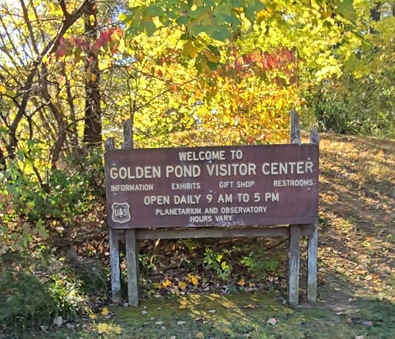
Good trips start with good maps. The North Welcome Station near Grand Rivers, Kentucky, serves as a main starting point for the northern end.
It offers brochures, maps, parking, and accessible restrooms.
Farther south sits the Golden Pond Visitor Center at 238 Visitor Center Dr, Golden Pond, KY 42211. It provides trailhead access, parking, restrooms, and picnic areas.
Bonus: there’s a planetarium inside.
That planetarium makes a clever backup plan. Rainy afternoon?
Sore feet? Swap the forest for the stars for a while and come back to the trail tomorrow.
Land Between the Lakes National Recreation Area is open 24 hours. Still, daylight hikes are simply easier to navigate.
Check in with staff about conditions before you go.
Picnic tables also make Golden Pond a great meeting spot. Groups doing section hikes can gather, sort gear, and grab a snack.
It beats unloading packs on a gravel shoulder.
Plenty of other access points exist along Forest Service roads too. That flexibility means you can design shorter loops instead of committing to the whole trail.
Freedom is nice like that.
Watch For Detour Decals Down South
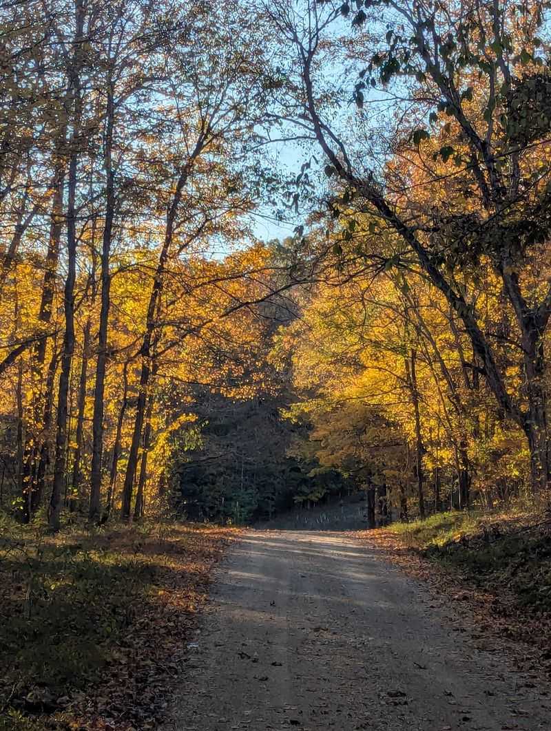
Storms changed part of the map. Tornadoes struck on December 10, 2021, and damaged sections of the trail’s South End.
About 7.9 miles of that southern stretch remain closed until further notice. Another 0.80 miles of the North/South-Ft.
Henry Connector is closed too. That’s a real chunk of trail to plan around.
Thankfully, a detour of roughly 6.4 miles keeps hikers moving. It uses parts of the Woodlands Trace National Scenic Byway and Forest Service Road 221.
Look for detour decals on white posts to stay on track.
The Trace, as many call the byway, is the major north-south road through the recreation area. Walking beside it feels different from deep forest.
Watch for passing vehicles and stay visible.
Planning tip: check the current status before any southern trip. Closures can change, and nobody wants a surprise dead end after hours of walking.
A quick call to the visitor center saves headaches.
Also remember mountain bikes aren’t allowed on the South End. Horses share a section between Road 342 and the Homeplace.
Knowing these rules keeps everyone happy on the path.
Finish Your Journey At An 1850s Farm
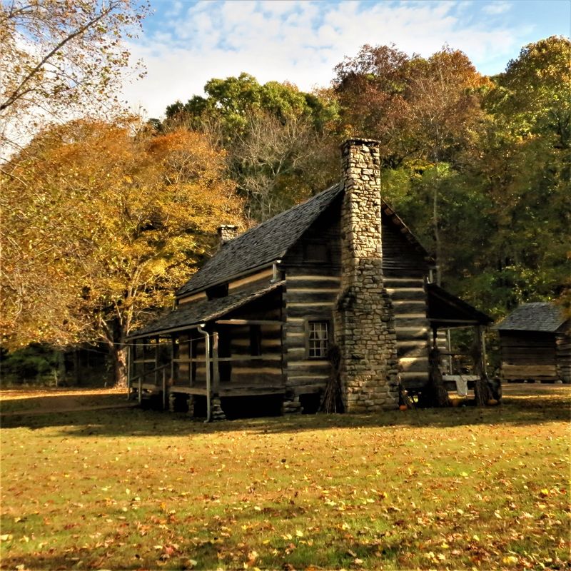
Most long trails end at a parking lot. This one can wrap up at a working farm set in the 1850s.
The Homeplace 1850s Working Farm in Tennessee serves as a trailhead for the southern end. After miles of forest, stepping into a slice of farm history feels like a fitting finish.
It connects nicely with the old communities you passed earlier.
That’s the beauty of Land Between the Lakes National Recreation Area. Nature and history keep showing up side by side.
One minute it’s eagles, the next it’s old homesteads.
The South Welcome Station is another southern access point. Section hikers can use it to start or end shorter trips.
Again, check closures first since the storm-damaged area sits down here.
Finishing in Tennessee after starting in Kentucky gives you serious bragging rights. Two states, two lakes, and nearly 60 miles of woods.
Not bad for a pair of hiking boots.
Even if you only manage a few miles, you’ve tasted something special. Come back next season for the next chapter.
This trail is happy to wait.