This Gorgeous 62-Mile California Scenic Drive Takes You From Desert Landscapes To Pine-Covered Mountains
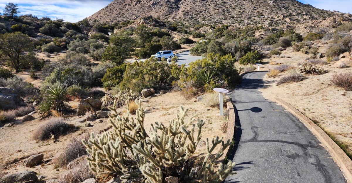
One road here climbs more than 6,000 feet, swapping palm oases for pine forests in a single afternoon.
Ecologists compare the change in plant life to a trip from Mexico to Canada. That’s a lot of scenery for one tank of gas.
The drive starts on the desert floor in Southern California, among creosote scrub and fan palms. Then the switchbacks kick in. Before long, you’re looking down on an entire valley.
I like how the whole adventure begins at a small building with a tortoise enclosure and a native plant garden. It feels like a calm warm-up before the road gets dramatic.
I believe the best road trips teach you something along the way. This one does it with bighorn sheep, Cahuilla history, and a lake known for bald eagles.
Your Road Trip Starts With A Map, A Garden, And Maybe A Tortoise
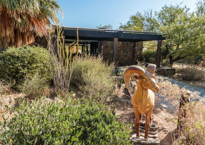
Every great drive needs a launch pad, and this one comes with rangers. The Santa Rosa and San Jacinto Mountains National Monument Visitor Center sits right where the Palms to Pines Scenic Byway begins its climb.
Inside, you’ll find maps, brochures, interpretive displays, and documentary films about the area. There’s also a gift shop, restrooms, and water fountains, which matter more than you’d think on a mountain road.
The rangers know the trails and the road well. Ask them which stops fit your schedule, since the full byway deserves six to eight hours with stops.
Outside, a native plant garden wraps around the building. A small tortoise enclosure adds a slow-moving bonus for anyone patient enough to look.
National park passport collectors, take note. A passport stamp waits at the counter, so bring your book along.
The center stays open Friday through Sunday, from 8:30 AM to 4 PM. Exterior displays remain available on the other days, so a weekday stop isn’t a total loss.
Still, a weekend start gets you the full experience. Plan around that, and your trip begins on the right foot.
A Tiny Trail Teaches You The Desert In Minutes
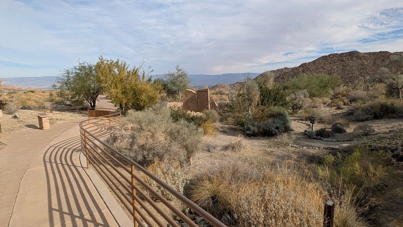
Two-tenths of a mile doesn’t sound like much. The Ed Hastey Garden Trail proves that short can still be smart.
This accessible path loops around the visitor center and introduces common desert plants and wildlife. Signs help you put names to the spiky, twisty, and surprisingly colorful things growing along the way.
Think of it as a cheat sheet for the drive ahead. Once you know creosote bush and desert agave, you’ll start spotting them from the car window.
The paved walkways are wide, which makes this stroll friendly for strollers and wheelchairs. Kids can handle it easily, and so can grandparents.
Birds love this garden too. Hummingbirds, quail, and doves often show up among the blooms, especially after winter rains.
Spring is a sweet time to visit, since wildflowers bloom early at lower elevations. Summer gets seriously hot on the desert floor, often climbing past 100 degrees.
Morning visits keep things comfortable.
Bring a camera and a little curiosity. Ten quiet minutes here make the entire California byway feel more meaningful, because you’ll understand where the journey starts.
Lace Up For A Loop With A Valley-Sized Payoff
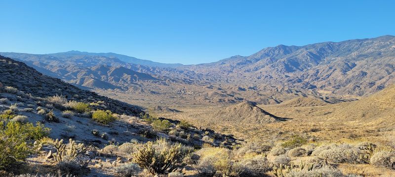
Leg-stretching before a long drive is always a good idea. The Randall Henderson Trail makes it feel like a reward instead of a chore.
You’ll find the trailhead at the southern parking lot of the Santa Rosa and San Jacinto Mountains National Monument Visitor Center. The loop comes in several lengths, ranging from about 1 mile to 2.5 miles.
That flexibility is handy. Short on time? Take the small loop. Feeling energetic? Go long and earn those valley views.
The trail climbs gently over rocky, sandy ground. Some stretches are uneven, so sturdy shoes beat flip-flops every single time.
Views open up over the Coachella Valley as you gain a bit of height. The surrounding mountains frame everything like a giant natural amphitheater.
Keep your eyes on the ridges. Endangered Peninsular bighorn sheep live in this monument, and the slopes near the center are part of their range.
Carry plenty of water, especially in warmer months. The desert doesn’t do shade, and it doesn’t negotiate.
Go early, pace yourself, and you’ll head back to the car feeling ready for the big climb.
Hold On Tight Because The Switchbacks Start Right Away
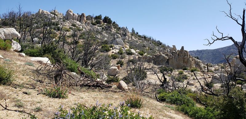
Almost immediately after you leave the parking lot, Highway 74 starts zigzagging up the mountain. These switchbacks are the opening act of the Palms to Pines Scenic Byway.
Each turn reveals a little more of the Greater Palm Springs area below. It’s like the valley is slowly unrolling a map just for you.
Fair warning for families: the curves are real. Riders prone to motion sickness may want a front seat, a snack, and fresh air.
The road is mostly two lanes, with occasional four-lane stretches. It’s steep and winding, so patience matters more than speed here.
Use the pull-offs if someone is riding your bumper. Letting faster cars pass keeps everyone relaxed, including you.
Watch for cyclists and motorcycles too. This road is a favorite for riders, and the tight bends leave little room for surprises.
The road stays paved and open year-round, except during winter storms. Check conditions before heading out in colder months.
Take it slow and savor it. Climbing this quickly is a strange thrill, and the views only get bigger with each curve.
Spot The Salton Sea From A Mountain Balcony
Here’s a fun fact for your next trivia night. From one pullout on this road, you can see the Salton Sea and the line of the San Andreas Fault.
That spot is the Coachella Valley Vista Point. It’s large, easy to find, and has plenty of parking.
The view stretches across the entire Coachella Valley. Towns, golf courses, and desert all blend into one huge patchwork below.
On clear days, the Salton Sea glimmers far off in the distance. It’s a striking sight in the middle of so much dry land.
The San Andreas Fault runs along the valley too. Seeing a famous fault line from above feels both cool and slightly humbling.
Photographers, bring a wide-angle lens if you have one. Your phone’s panorama mode works nicely as a backup.
Morning light tends to be crisp, while late afternoon adds warm color to the mountains. Either way, it’s worth a few minutes.
This stop also gives your brakes and your nerves a break after the switchbacks. Stretch, snap some photos, and let the size of California sink in.
Thousands Of Years Of Cahuilla History Line This Route
Long before anyone built a highway, the Cahuilla people called these mountains home. Their story stretches back thousands of years, and the monument protects many of their cultural sites.
The Cahuilla Tewanet Vista Point is the best place to learn about it along the drive. Interpretive panels share details about Cahuilla culture and history.
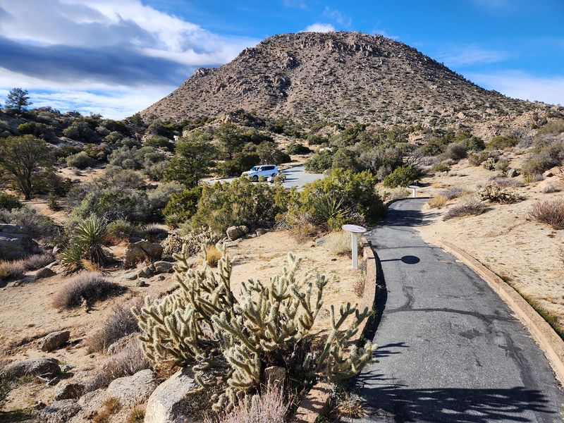
A paved walkway leads to a boardwalk platform overlooking the Santa Rosa Mountains. The setting makes the history feel close and personal.
There’s also a short 0.2-mile wilderness loop trail. It’s a quick, easy way to stand in the landscape the panels describe.
Back at the visitor center, documentary films dig deeper into the region’s past. Watching one before the drive adds extra meaning to each stop.
Respect matters here. Archaeological and cultural sites are protected, so stay on trails and leave everything just as you found it.
I can’t imagine a better way to understand a place than learning who cared for it first. This stop turns a pretty drive into a richer story, and it only takes a short break from the road.
Watch The Desert Quietly Turn Into Forest
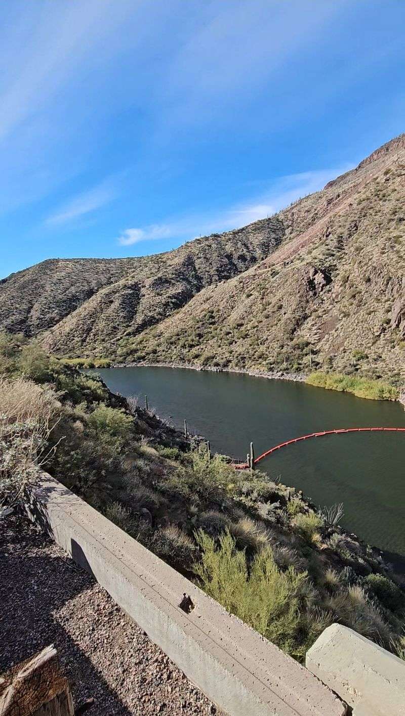
Somewhere past the vista points, the scenery starts pulling a quiet costume change. Cactus and creosote give way to chaparral, then pinyon-juniper woodland.
That shift is the whole magic of this byway. You start in the Colorado portion of the Sonoran Desert and climb toward oak woodlands, pines, and high meadows.
Pinyon pines become common around the Pinyon Pines and Pinyon Crest area. Those squat, sturdy trees signal that you’ve officially left the desert floor behind.
The temperature drops as the elevation rises. In summer, that cooler air feels like the mountains switched on the air conditioning.
Paradise Valley sits at the junction of Highway 74 and Highway 371. The Paradise Valley Cafe there is a well-known stop for hungry travelers.
Keep an eye on the plants as you climb. Wildflowers bloom in early spring down low and in summer up high, so timing your trip shifts the colors.
The drive was named a National Forest Scenic Byway in 1993. It’s also a California State Scenic Highway, which feels well deserved by this point.
Bring Binoculars For Bighorns, Eagles, And Woodpeckers
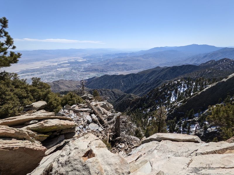
Wildlife fans, this road is basically a moving safari. The list of possible sightings is long and wonderfully varied.
Endangered Peninsular bighorn sheep top many wish lists. They often roam rocky slopes near the visitor center, so scan the ridges carefully.
Desert tortoises, coyotes, gray foxes, and bobcats also live in the monument. Most stay shy, which makes any sighting feel like winning a small prize.
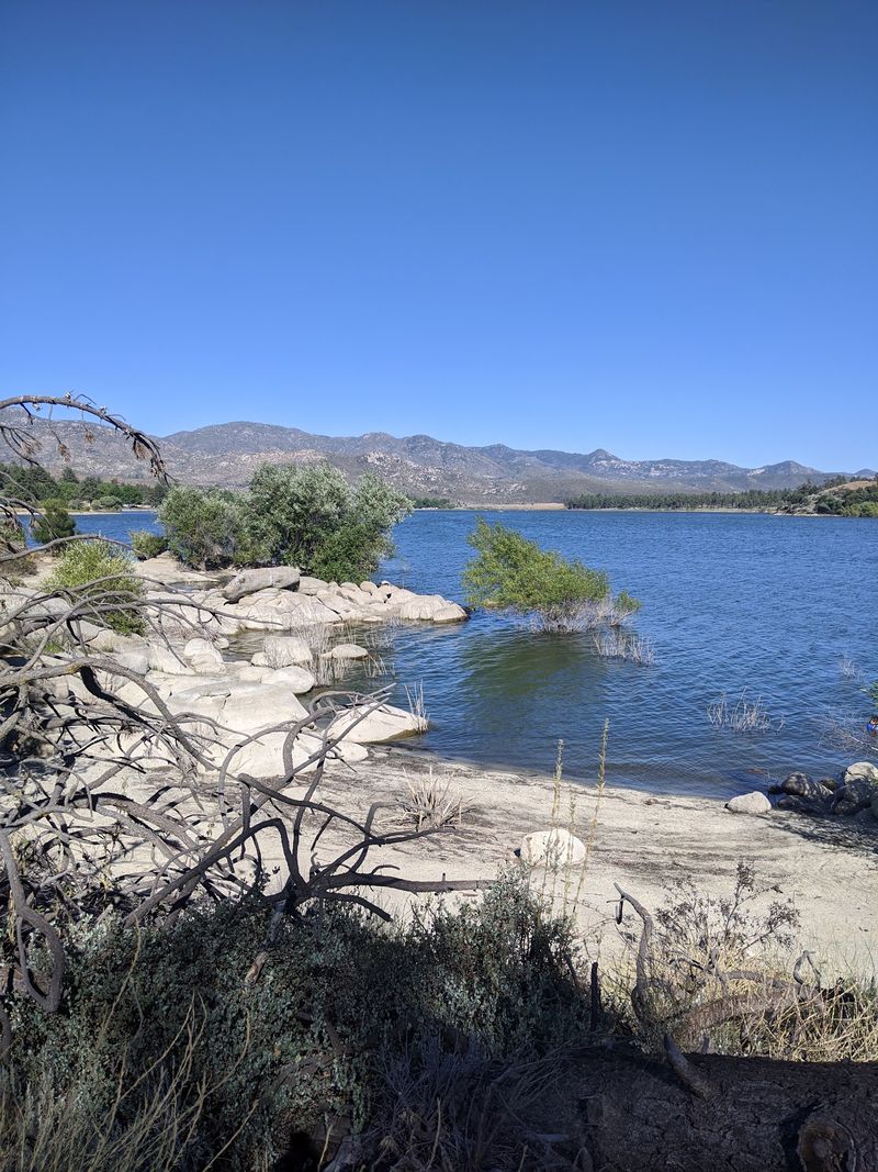
Higher up, Lake Hemet attracts waterfowl. It’s also a known spot for possibly seeing nesting and hunting bald eagles.
The lake offers camping, boating, and fishing too. That makes it a nice place to stretch out a longer trip.
Indian Vista Overlook is another solid wildlife stop. Mule deer, acorn woodpeckers, and lizards may appear there.
Western gray squirrels and many birds of prey round out the cast. Hawks circling overhead are common company on this route.
Pack binoculars and a field guide app. Keep a respectful distance, and never feed wildlife.
Patience pays off here, and a quiet pullout might deliver your best memory of the whole day.
Idyllwild Makes A Scenic Mountain Stop Before The Drive Continues
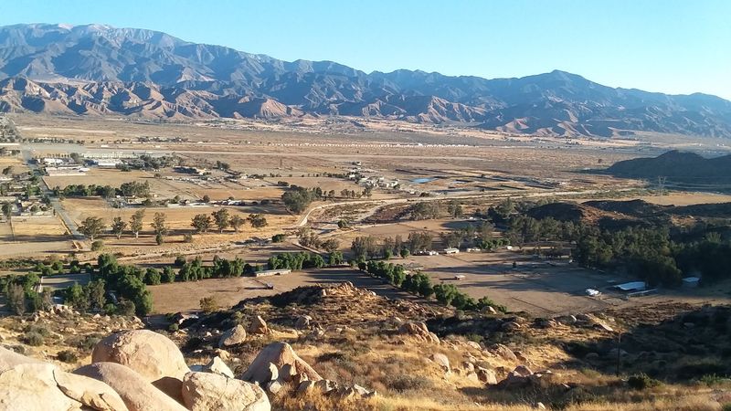
After all that climbing, the road rewards you with a mountain town. Idyllwild sits among tall pines, a world away from the palm-lined desert where you started.
To get there, turn onto Highway 243 at Mountain Center. That junction marks the turn toward the village.
The Idyllwild Nature Center is a great stop. It covers mountain ecology, local history, and the Cahuilla people, with about three miles of trails.
The U.S. Forest Service Visitor Center and Mount San Jacinto State Park headquarters are in town too. Both help you plan hikes in the high country.
To complete the Palms to Pines Scenic Byway, continue north on Highway 243 through the mountains toward Banning, where the route ends near Interstate 10.
Cell service can be spotty along the way. Download maps before you leave the Santa Rosa and San Jacinto Mountains National Monument Visitor Center at 51-500 CA-74, Palm Desert, CA 92260.
Fill your gas tank early and pack snacks. The byway includes several stops for food and fuel, but planning ahead is smart.
From desert garden to pine-scented village, this California drive delivers a whole vacation in a day.