This Idaho Backroad Leads To Ghost Towns, A Gold Dredge, And Frontier Ruins
Some backroads feel like they were built for people who enjoy a little dust with their history.
Deep in central Idaho’s mountain country, one route turns a simple drive into an adventure with real old-frontier grit.
The road winds past places that feel half-forgotten, where mining stories still cling to weathered buildings and quiet hillsides.
Nothing about the journey feels polished, and that is exactly why it works.
Old ghost towns, rugged ruins, and a massive gold dredge make the whole route feel like the kind of trip that belongs in a road-worn notebook.
Every stop adds another layer.
The scenery pulls people forward, but the history keeps making them slow down.
This is not a drive built around one quick photo and a snack break.
It feels bigger than that.
A winding mountain road, a few haunting reminders of boomtown days, and one unforgettable piece of mining machinery turn this into an Idaho adventure for the books.
The Custer Motorway Turns The Drive Into Part Of The Story
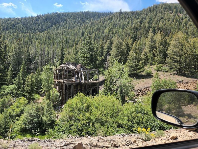
A road with this much history refuses to act like simple transportation.
The Custer Motorway follows part of the historic route between Challis and the Yankee Fork mining towns, once used by miners, freight wagons, stage traffic, and supply crews.
Today, the Yankee Fork Road corridor connects sites like the dredge, Bonanza, and Custer, turning the drive into a journey through Idaho’s gold-mining history.
The original toll-road era dates to the late 1870s, when the rush toward Custer and Bonanza demanded a better way to move people and heavy equipment through difficult country.
Today, the drive still feels rugged enough to keep the past believable. Interpretive signs, old road grades, mining remnants, cemeteries, river views, and forested slopes make the landscape feel like it is explaining itself slowly.
Conditions can vary, and unpaved sections may not suit every vehicle or every season, so checking locally before committing to the full route is wise. The road is not just how you reach the story.
It is one of the story’s best surviving pieces.
Bayhorse Brings The Frontier Ruins Without Polishing Them Too Much
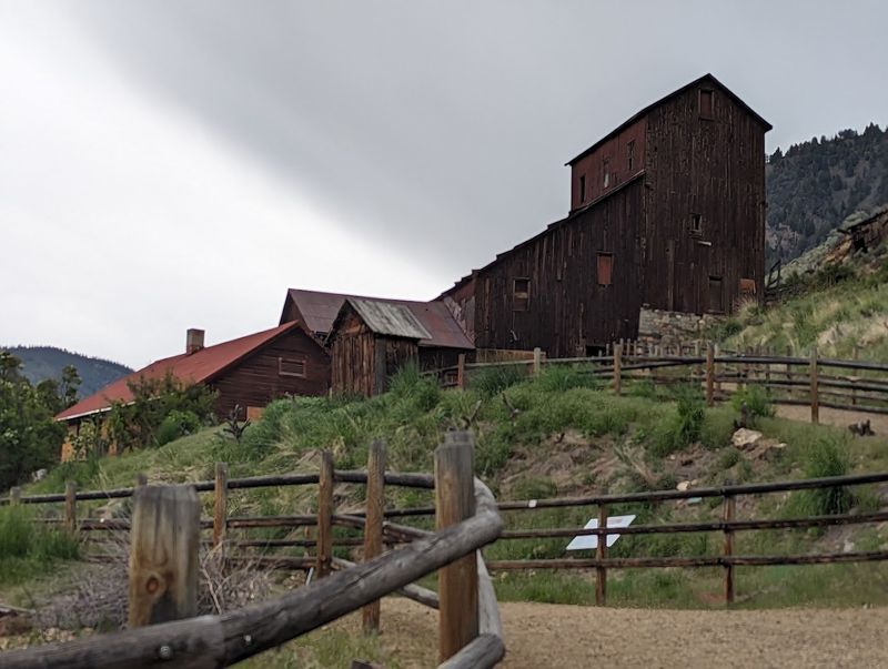
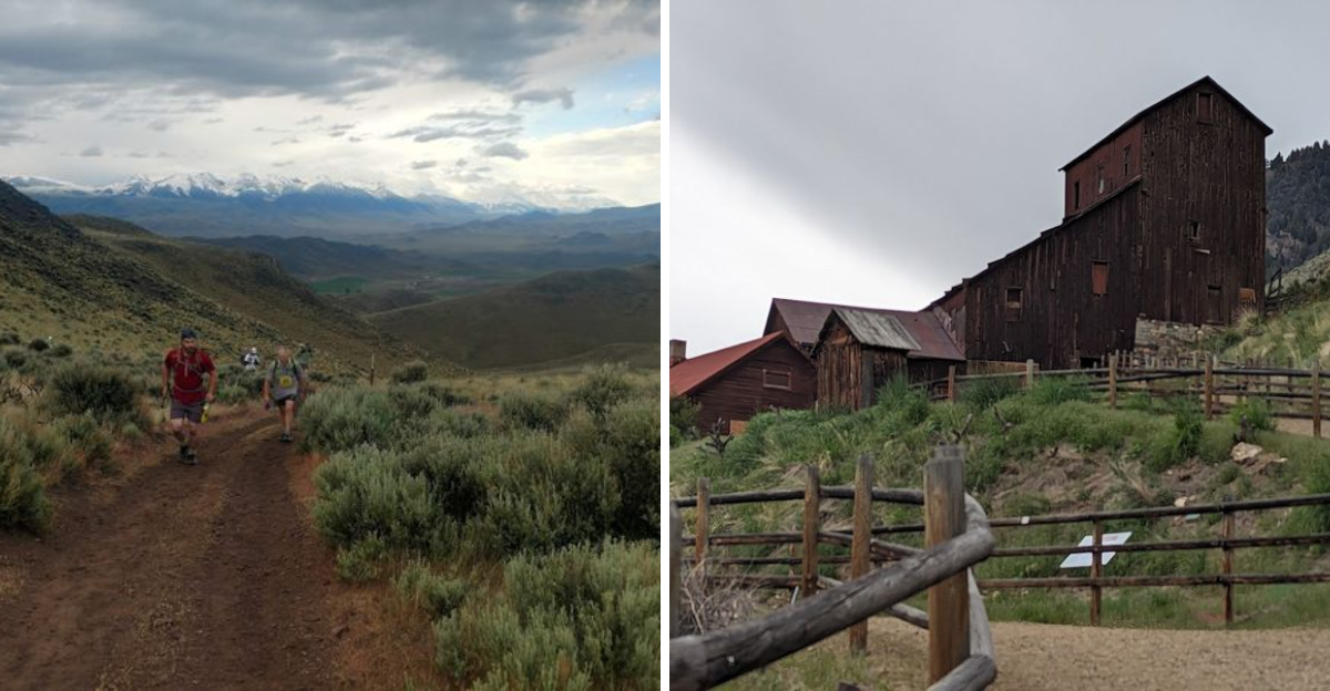
Raw edges make Bayhorse memorable. This historic mining town became part of Land of the Yankee Fork State Park, and it preserves a striking collection of frontier-era ruins without turning the whole place into something overly tidy.
Visitors can walk the site and see weathered structures, mining remains, stonework, kilns, and interpretive signs that help explain how silver mining shaped the settlement.
Bayhorse developed after rich ore discoveries in the late 1800s, grew around the demands of mining life, and faded as production declined and conditions became harder to sustain.
That rise-and-fall pattern is familiar in Idaho’s old mining country, but Bayhorse makes it unusually easy to visualize. The buildings are fenced or protected where needed, which is important because old structures can be fragile and dangerous.
That does not weaken the experience. If anything, it helps preserve the haunting feel of a place that has not been scrubbed clean for visitors.
The site has enough visible remains to feel substantial, yet enough decay to keep the frontier story honest. Bayhorse is a reminder that mining towns were not romantic sets.
They were working places built quickly, used hard, and left to weather when the ore, water, money, or luck ran out.
Custer’s Old Main Street Still Feels Like A Mining Camp Left Mid-Sentence
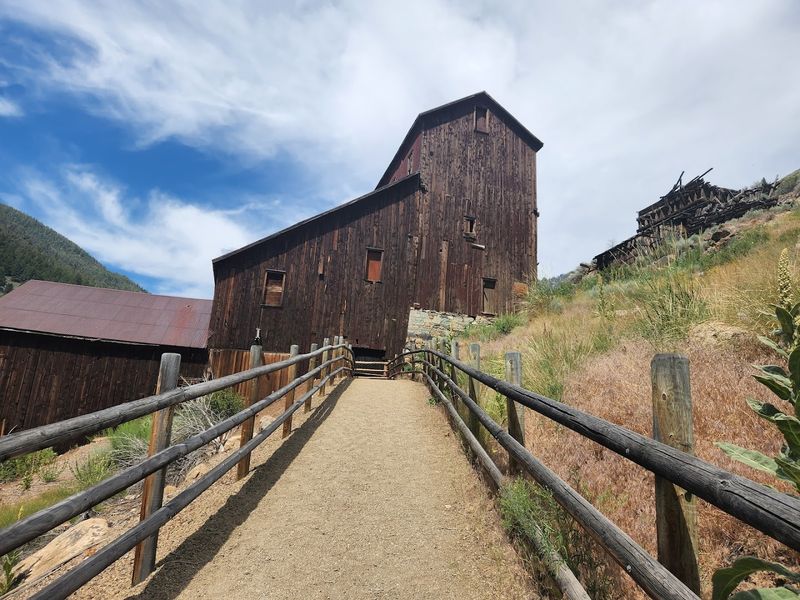
Custer feels more intact, which gives the stop a different kind of power. The old mining town grew after gold discoveries in the Yankee Fork region and became one of the valley’s key communities, especially as nearby Bonanza struggled with fires and decline.
Today, restored and preserved buildings help visitors picture a settlement that once had stores, homes, a school, a saloon, civic life, and all the ordinary details that made a mining camp function beyond the mine entrances.
Walking the old main street feels less like staring at ruins and more like entering a place paused between chapters.
The schoolhouse, Empire Saloon, interpretive displays, and seasonal access to certain structures bring daily life into focus. Custer’s story also helps show how quickly mountain towns could rise when mining boomed and empty when the ground stopped paying.
Summer is the best time to experience the site fully, since some buildings and services are seasonal. Even when interiors are closed, the street itself gives visitors plenty to absorb.
Old boards, mountain air, river-country silence, and the surrounding hills all work together. Custer does not need theatrical staging.
Its strongest detail is how believable it still feels.
Bonanza Adds The Rougher Ghost-Town Stop Nearby
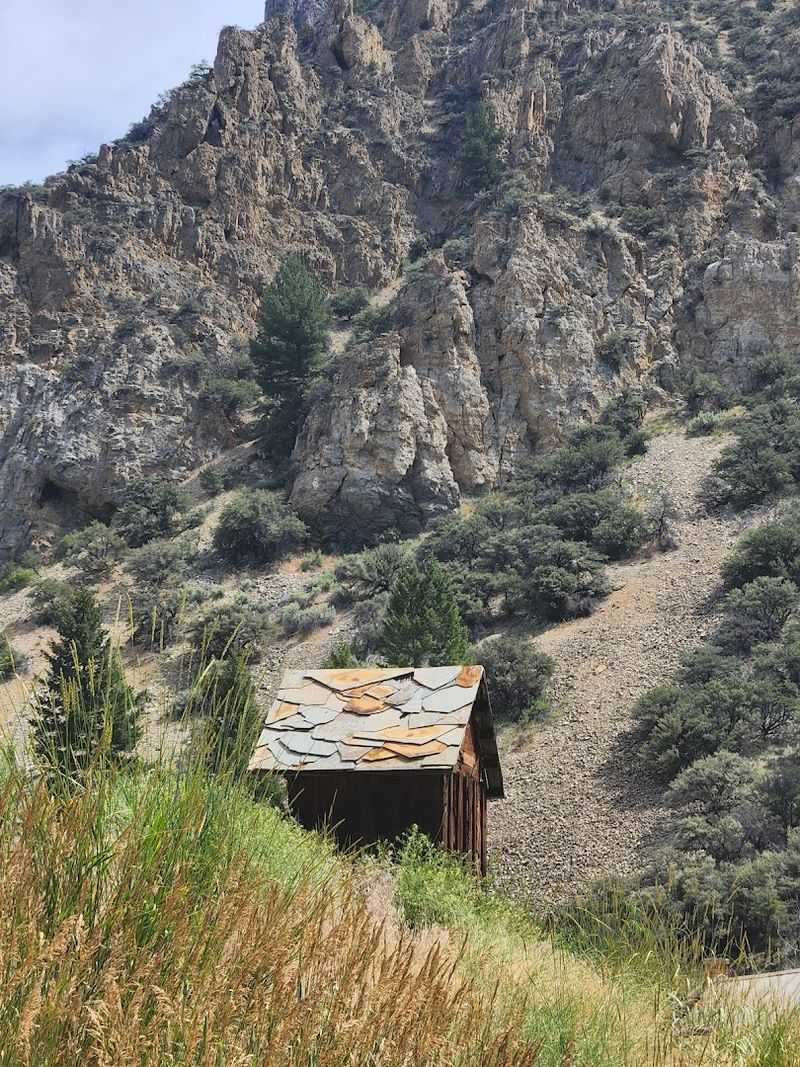
Bonanza carries a quieter, rougher mood than Custer. As one of the earliest major settlements in the Yankee Fork mining district, it once had enough people, business, and energy to feel like a serious frontier town.
Fires, shifting fortunes, and the movement of business toward Custer changed that story quickly. Today, Bonanza has fewer visible remains, which makes the stop feel more subdued but still worth adding to the route.
Instead of a polished walking-tour atmosphere, visitors get a more stripped-down sense of disappearance. A few structures, old sites, and the surrounding landscape do most of the talking.
That contrast is useful. Seeing Bonanza and Custer together makes the instability of mining life easier to understand than any single exhibit could.
One town has more restored pieces. The other feels more surrendered to time.
Both help explain the same boom-and-bust world. Travelers should be respectful around remaining structures and private or restricted areas, and road conditions should be checked before making assumptions about access.
Bonanza is not the biggest stop on the route, but it adds emotional weight. It shows what happens when a town’s reason for existing moves on, leaving only weather, wood, and memory behind.
The Yankee Fork Gold Dredge Looks Too Huge To Be Real
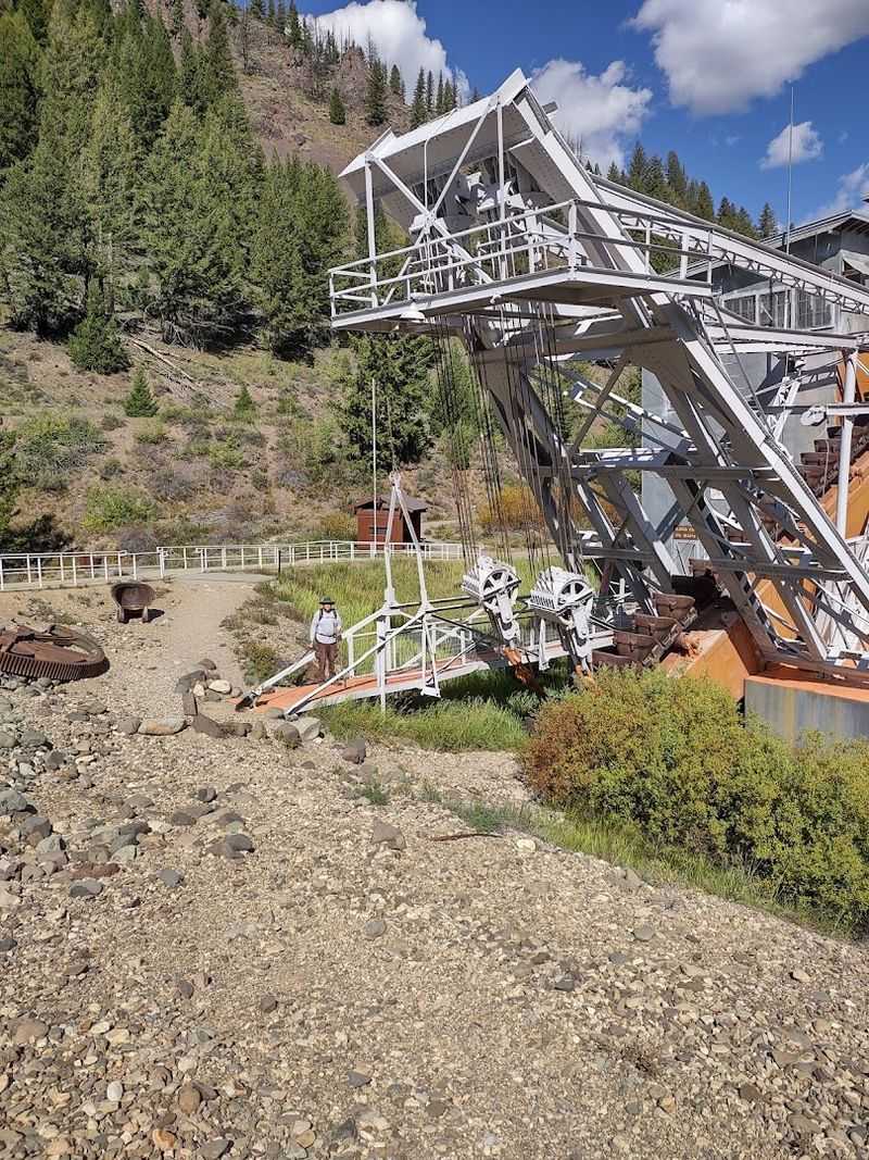
Scale is the first thing people notice at the Yankee Fork Gold Dredge. The machine is 988 tons, 112 feet long, 54 feet wide, and 64 feet high, with 71 buckets that once chewed through river gravel in search of gold.
Built by Bucyrus-Erie and assembled in the Yankee Fork area, the dredge operated during the mid-20th century, long after the first gold-rush excitement had faded into a more industrial mining phase. That timing is part of what makes it fascinating.
This is not a pickaxe-and-pan story. It is a floating factory story.
The dredge worked through the river corridor, leaving behind the gravel tailings that still mark the landscape today.
Guided tours run from Memorial Day through Labor Day, generally from 10 a.m. to 4:30 p.m., giving visitors a chance to see the machinery up close and understand how massive the operation really was.
Standing beside it makes the surrounding river feel almost too small for such a machine, yet the dredge’s entire purpose was to reshape that waterway in search of profit. It is impressive, unsettling, and unforgettable all at once.
Few Idaho mining sites show industrial ambition this clearly.
Mining History Gets Easier To Follow At The Interpretive Center
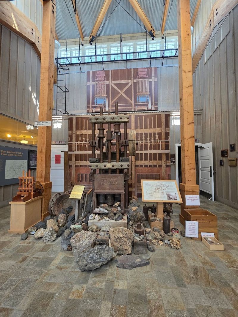
Context helps the whole route click into place. The Land of the Yankee Fork State Park Interpretive Center at 24424 Highway 75, Challis, ID 83226, is the smartest first stop because it connects the scattered sites into one larger story.
Current Idaho Parks and Recreation information lists the center open Wednesday through Sunday from 8:30 a.m. to 4:30 p.m., with Monday and Tuesday closed.
Inside, visitors can learn about the mining boom, the ghost towns, the Yankee Fork Dredge, Indigenous history, local geology, and the people who tried to build lives in this demanding mountain landscape.
Exhibits, artifacts, maps, staff guidance, and gold-panning-style interpretation make the history easier to follow before the road gets dusty and the ruins start appearing in pieces. Starting here also helps with practical planning.
Travelers can ask about road conditions, seasonal access, site closures, and the best order for visiting Bayhorse, Custer, Bonanza, and the dredge. That matters in a region where weather, distance, and unpaved roads can affect the day quickly.
The Interpretive Center keeps the route from feeling like random old buildings in the mountains. It gives every stop a place in the larger Idaho mining story.
River Roads And Mountain Curves Keep The Route From Feeling Like A Museum
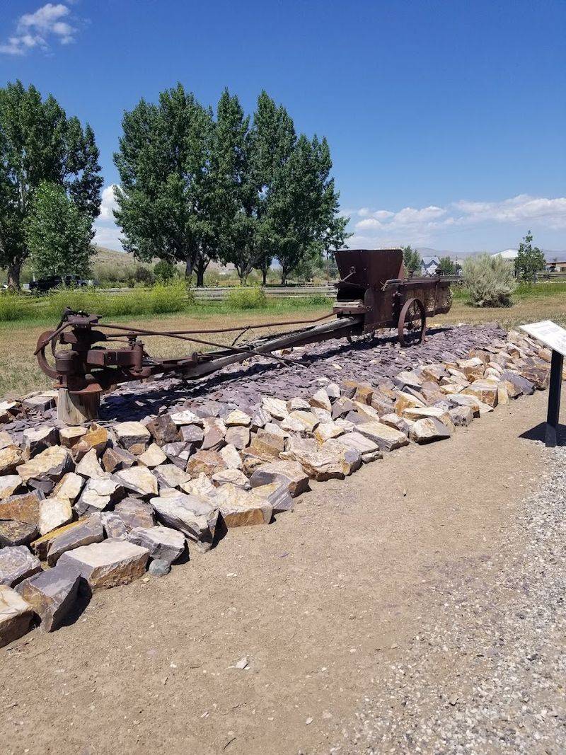
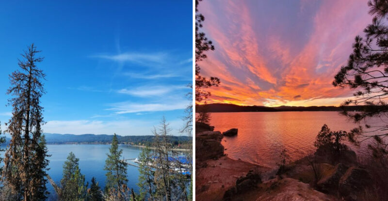
Scenery keeps the history from feeling trapped behind glass. The Yankee Fork corridor follows mountain roads, river bends, forested slopes, mining tailings, and open valley pockets that constantly remind visitors this was not an easy place to build anything.
The Yankee Fork River runs through the story both as a natural feature and as a mining resource that was heavily altered by dredging.
Gravel tailings along the water remain one of the most visible signs of that industrial past, creating an unusual landscape that can look beautiful, scarred, and fascinating all at once.
The surrounding mountains add scale. Pines, ridgelines, narrow curves, and open sky make the route feel alive rather than museum-like.
Wildlife, changing light, dust, and weather all become part of the day. Drivers should take the road seriously, especially on unpaved or narrower sections, and avoid rushing between stops.
Pullouts and interpretive markers reward slower travel, while the river gives the drive a steady thread to follow. This is one of those Idaho routes where the spaces between attractions matter nearly as much as the attractions themselves.
The ghost towns explain what happened here. The road helps visitors feel how isolated, ambitious, and difficult it must have been.
The Challis Bison Jump Adds A Much Older Layer To The Trip
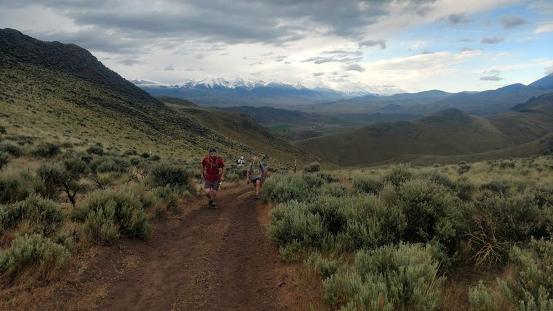
Mining history is only one chapter in this valley. The Challis Bison Jump adds a much older human story to a route otherwise dominated by dredges, mills, cabins, and ghost towns.
The site, interpreted through Land of the Yankee Fork State Park, points to Indigenous hunting practices and the use of the landscape long before miners arrived with wagons and machinery.
Archaeological evidence at bison jump sites helps show how Native peoples worked together, understood animal movement, and used terrain strategically.
Adding this stop changes the emotional shape of the day. Instead of seeing central Idaho only through the gold-rush era, visitors get a reminder that human history here reaches far deeper than the 19th century.
The Interpretive Center can help explain the site and provide context before or after a visit. A short pathway and interpretive information make the stop accessible for many travelers, though current access details should still be checked locally.
The bison jump does not compete with the ghost towns or the dredge. It broadens them.
After seeing how quickly mining towns appeared and vanished, this older site adds perspective. Idaho’s mountains held stories long before the first boomtown claimed the valley.