This Little-Known Tennessee Forest Trail Hides Fossilized Seashells
Here is a question for you: Would you stop for fossils or race toward the waterfall first?
Tennessee has a trail where a waterfall is only the beginning of the surprise. Hike farther, and ancient seashell fossils appear in sandstone, revealing a landscape that once sat beneath an ocean.
The route also brings gorges, forest, bridges, and plenty of reasons to slow down along the way.
It feels less like checking off another hike and more like stumbling into a giant outdoor history lesson. That twist makes the whole outing much more memorable.
Bring sturdy shoes, curiosity, and enough time to explore.
Ancient Sea Beneath Your Boots
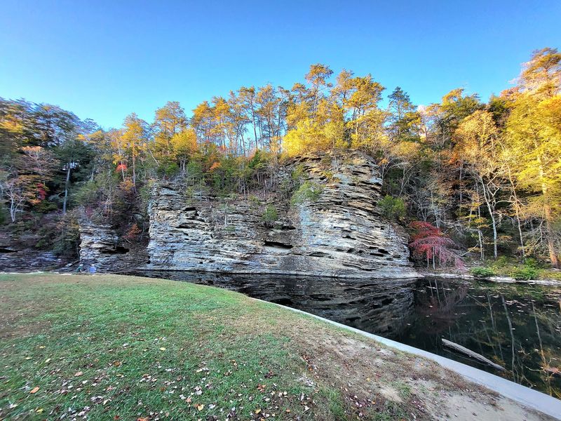
Hundreds of millions of years ago, the middle of Tennessee sat under a warm, shallow sea. Corals, snails, and other shelled creatures built their armor from calcium carbonate.
When they settled to the bottom, their shells became part of the mud and sand. Layer after layer piled up, hardened, and turned into the rock you now hike across.
Rivers carried sediment into that sea for ages, building thick stacks of sandstone, shale, and limestone. Water later carved those stacks into gorges, exposing the story like pages in a book.
At Fall Creek Falls State Park, I found the best clues where creeks slice through bedrock. Look for pale, curved outlines, tiny ridged fans, or coin-sized circles pressed into the stone surface.
Some fossils are faint, so wet rock helps the shapes stand out clearly. Bring a small hand lens and take photos instead of chipping anything loose.
Park rules protect rocks and fossils, so leave every find exactly where it sits. That way the next hiker gets the same jolt of surprise you did at 2009 Village Camp Rd in Spencer.
Waterfalls That Steal Attention
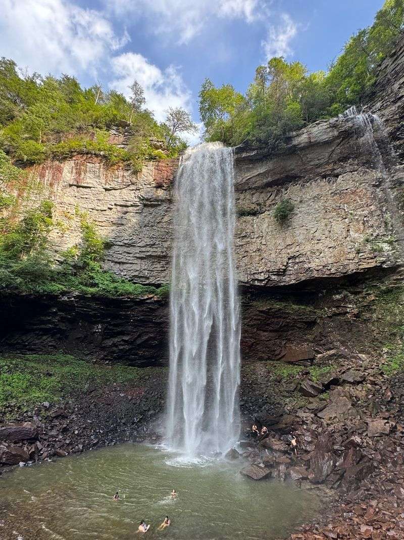
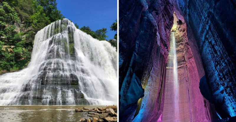
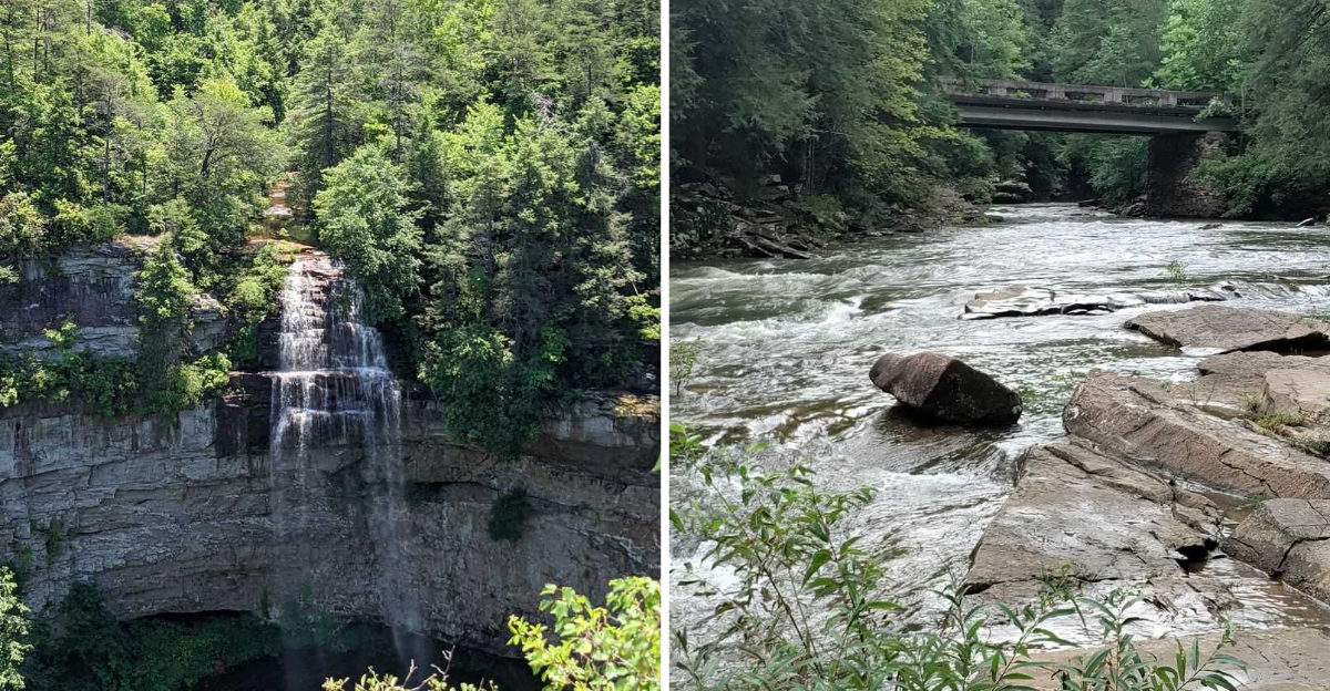
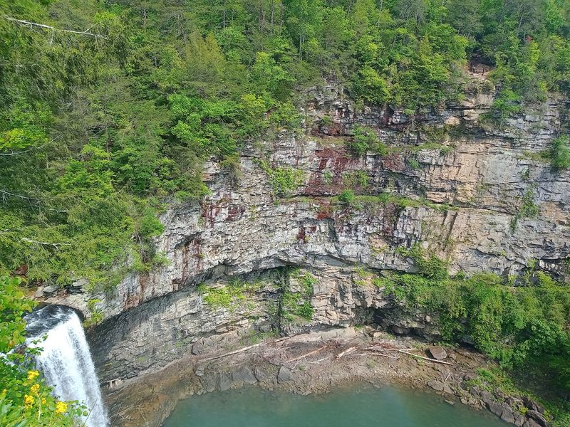
The park’s namesake drop measures 256 feet, making it one of the tallest east of the Mississippi River. I heard it before I saw it, a low rumble drifting up through the trees.
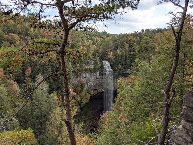
From the main overlook, the water looks like a silver ribbon vanishing into shadow. Hiking down to the base flips the scale completely and soaks you in cool spray.
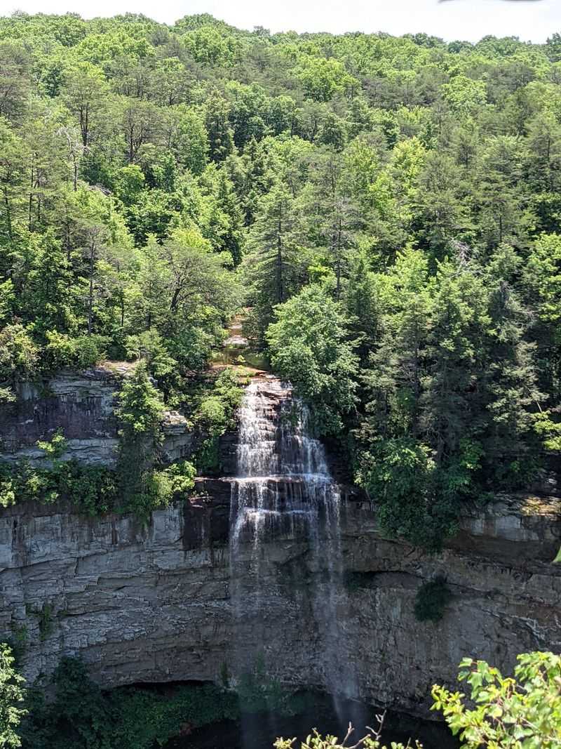
Cane Creek Falls tumbles about 85 feet nearby, wide and thunderous after rain. Just upstream, Cane Creek Cascades spill over ledges in a staircase of small, playful chutes.
Rockhouse Falls adds another 125 feet of free-falling water into the same rugged gorge. Piney Falls rounds out the collection for hikers willing to log extra miles.
Each cascade carved its own notch, which is why the terrain feels so folded and dramatic. Those cuts are exactly where fossil-bearing rock layers get exposed.
Trails Worth Your Mileage
Fifty-six miles of trail means you can pick your own level of effort. I mixed easy loops with one lung-burning descent and called it a balanced day.
The Base of Falls Trail runs only about 0.35 miles, yet it drops steeply over rock and roots. Sturdy shoes matter more than speed on that stretch.
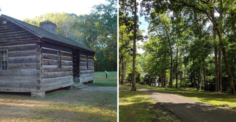
Overlook Trail keeps things moderate while delivering big views of multiple cascades. Woodland Trail and Gorge Overlook Trail link into a loop through tall hardwoods along the rim.
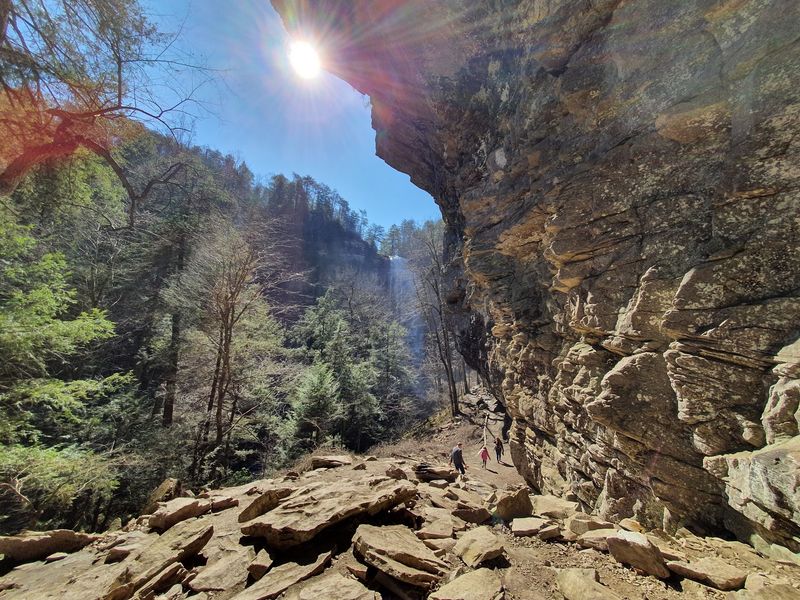
Gorge routes reward fossil hunters because water has scraped the bedrock bare. I paused often, scanning ledges and creek slabs for shell impressions.
Backcountry hikers can request permits for overnight routes deeper into the plateau. Shorter interpretive paths near the nature center suit families with restless kids.
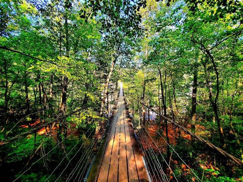
Trail bridges and clear signage make navigation simple, though wet stone stays slick year-round. Trekking poles saved my knees on the steep return climb.
From Logged Land To Refuge
Long before trail maps existed, the Creek, Yuchi, Cherokee, and Shawnee used this plateau country. Their presence shaped the earliest chapters of the land’s story.
European settlers arrived in the early 1800s and farmed the uplands. They also harnessed Cane Creek’s power at sites such as Bickford Mill.
Heavy logging and coal mining followed in the early 1900s, stripping slopes and eroding soil. Photos from that era show a landscape in rough shape.
Recovery began in 1935 when the U.S. Department of the Interior started buying the damaged acreage. James Taft, often called the father of the park, pushed the vision forward.
During the Great Depression, the Civilian Conservation Corps and Works Progress Administration replanted trees and built the first facilities. Their stonework and grading still support visitor areas today.
In 1944, the national recreation demonstration area officially became a Tennessee state park. That shift locked in decades of protection.
Knowing this history changed how I looked at the forest canopy overhead. Those trees represent deliberate repair work, not accident.
Where The Forest Gets Interesting
Roughly 25,000 to 30,000 acres of plateau give this park serious ecological muscle. Habitats change fast as you drop from breezy uplands into damp gorges.
Down in those gorges grows a mixed mesophytic forest, one of the most varied forest types in the eastern United States. Cool air and steady moisture make it possible.
Tulip poplar, basswood, buckeye, northern red oak, white oak, hickories, eastern hemlock, and American beech all share the slopes. Some stands include old-growth timber that escaped the saw.
White-tailed deer wander the edges of clearings, usually unbothered by hikers. Around 185 bird species have been recorded here, which explains the constant chatter overhead.
Spring and fall bring warblers and vireos through the canopy. Barred owls and red-headed woodpeckers stay year-round, and bobcats or coyotes occasionally cross a distant trail.
Moss-covered boulders in the gorge often hide fossil-bearing rock underneath. I brushed leaves aside gently and found ridged shell patterns twice.
Binoculars earn their weight here, especially near creek crossings at dawn. Insect repellent helps during humid summer stretches.
Lake Days And Aerial Thrills
Waterfalls get the headlines, but Fall Creek Lake quietly wins mornings. Its 345 acres sit glassy at sunrise, ideal for paddling without a crowd.
I rented a kayak and drifted along the shoreline watching herons work the shallows. Fishing families lined a few coves, patient and content.
Designated swimming areas offer relief when plateau humidity climbs in July. Shallow creek spots also cool tired feet after long hikes.
The Canopy Challenge Course sends braver visitors through the treetops on cables and platforms. Climbers can also test designated rock faces under park guidelines.
An 18-hole championship golf course with a pro shop sits within park boundaries. Golfers get plateau views between shots, which feels like a bonus.
Campgrounds handle tents and RVs with various hookups, while primitive walk-in and backcountry sites suit minimalists. Booking ahead matters for fall weekends.
The Betty Dunn Nature Center anchors the educational side with exhibits and programs. Nearby, the suspension bridge over Cane Creek Cascades gives a bouncy, memorable crossing.
Timing Your Fossil Hunt
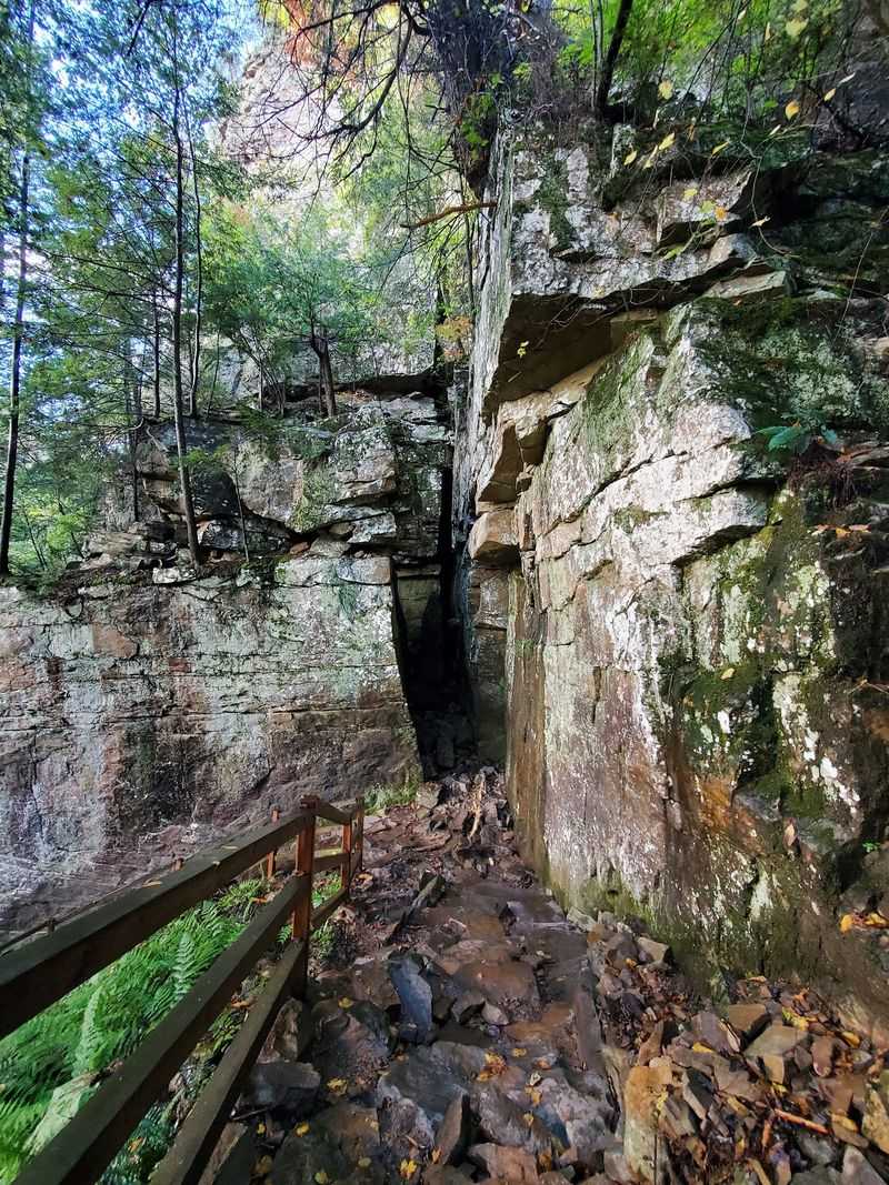
Season choice changes everything about this park, including your odds of spotting fossils. Bare-branch months expose rock faces that summer leaves hide completely.
Late fall, winter, and early spring bring better visibility for wildlife too. Deer, owls, and woodpeckers stand out against gray woods.
Trails also feel calmer during those cooler stretches, which suits slow rock inspection. I lingered at ledges without stepping aside every two minutes.
Spring floods the forest floor with wildflowers and returns migratory songbirds. Waterfalls hit peak volume after steady rain, roaring through the gorges.
Summer works best for lake time, swimming, and shaded canopy hikes. Heat builds by midday, so early starts pay off.
Autumn turns the hardwoods into reds, oranges, and golds worth every mile of scenic driving. Expect company on popular overlooks during peak color.
For fossil searching specifically, aim for a dry day after recent rain has cleaned the stone. Damp rock highlights shell outlines beautifully.
Guardians Of The Plateau
Protection here goes well beyond mowing picnic areas. Staff run research projects on rare plants and track wildlife populations across thousands of acres.
Feral hog control programs help protect fragile soil and native plants. Without that work, gorge slopes would suffer serious damage.
Partnerships with the U.S. Department of Agriculture and the Tennessee Wildlife Resources Agency support this stewardship. Cooperation stretches limited resources further.
Crews maintain trail routing, signage, and bridges so visitors stay on durable surfaces. Good trail design keeps boots off delicate rock and root systems.
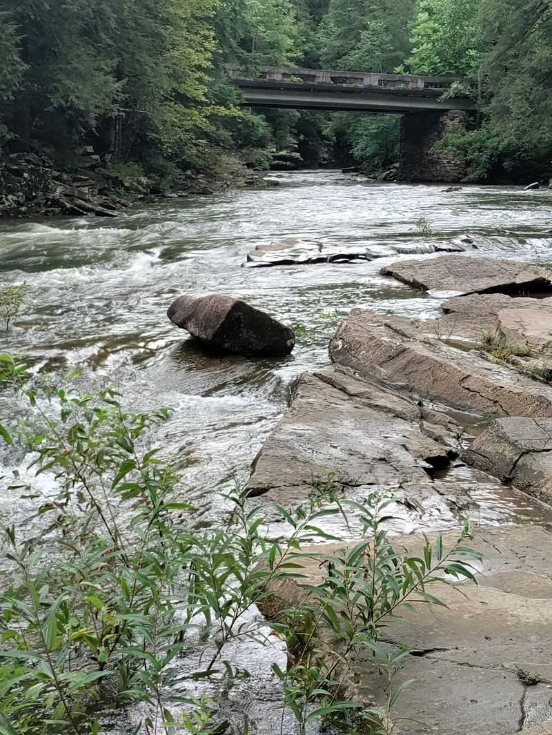
About 13 miles of Cane Creek fall under park protection, cutting a gorge through the plateau. That corridor shelters a large remnant of old hemlock forest.
Cane Creek also drains into one of the largest cave systems on the planet. Water here connects surface trails to hidden underground worlds.
Leaving fossils in place directly supports all of this effort. Collecting removes evidence that scientists and future visitors both need.
Plan A Smarter Visit
A little planning turns this park from pleasant into unforgettable. Start at the Betty Dunn Nature Center for maps, exhibits, and current trail conditions.
Fill water bottles before heading into the gorge since climbs back up are steep. Snacks matter more than you expect on the return trip.
Cell service fades in low areas, so download maps ahead of time. A printed map costs nothing and never loses battery.
Weekday mornings offer the quietest overlooks and the easiest parking. Holiday weekends fill lots quickly, especially during peak leaf color.
Wear shoes with real tread because sandstone ledges stay damp under the canopy. Rain jackets pack small and save the day often.
Fossil spotting works best along exposed creek slabs and gorge cuts. Photograph finds, note the spot, and leave the rock untouched.
Camping, cabins, and the golf course all book ahead, so reserve early for autumn dates. Backcountry routes require permits.