This 32-Mile California River Trail Was Once Voted America’s No. 1 Bike Path And Still Offers Miles Of Car-Free Scenery
A pedestrian bridge resembling a miniature Golden Gate Bridge crosses the American River near Sacramento State, connecting to the area’s network of walking and cycling trails.
The route was once crowned the top bike path in the country. Millions of people use it every year, and cars are not invited.
That means miles of riverbank, oak shade, and open grass with nothing honking behind you.
California has plenty of famous scenery, but this one comes with half-mile markers and a fish hatchery.
I love when a place has something unexpected up its sleeve. A trail that starts near a state capital and ends at a big reservoir lake has plenty.
The Trail That Beat Every Other Bike Path In America
Bragging rights are hard to earn in the bike world. The Jedediah Smith Memorial Trail, better known as the American River Bike Trail, earned them in 2006.
That year, Trails.com voted it the number one bike path in the country. Not bad for a strip of pavement that many locals simply use to get to work.
The honor did not come out of nowhere. Back in 1974, the trail was designated a National Recreation Trail, which is a federal recognition for standout routes.
So it had a head start of more than three decades before the big vote. Think of it as the veteran player who finally won the trophy.
The name honors Jedediah Smith, an early American explorer who traveled through this region. The nickname comes from the river it follows almost the entire way.
Both names point to the same path, so do not let the double identity confuse you. Signs, maps, and locals may use either one.
What matters most is simple. A route with this kind of track record still delivers the goods in California today, mile after car-free mile.
Your Ride Begins Where Two Rivers Meet
Every great journey needs a starting line, and this one has a scenic one. The western end of the trail sits inside Discovery Park, a 302-acre regional park run by Sacramento County.
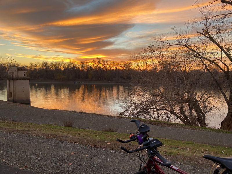
The park sits where the American River flows into the Sacramento River, so water is part of the view from the start.
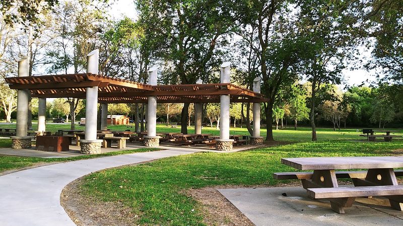
Discovery Park offers far more than a trailhead. It has picnic sites, ball fields, fishing spots, and boat launches.
There is even an archery range, which makes for an unusual warm-up activity before a long ride. Bring a bow or just watch from a polite distance.
The park keeps posted hours, generally opening in the early morning and closing in the evening. Check the county parks page before you go, since a vehicle entry fee may apply.
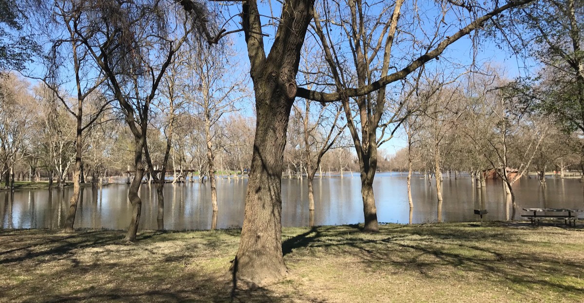
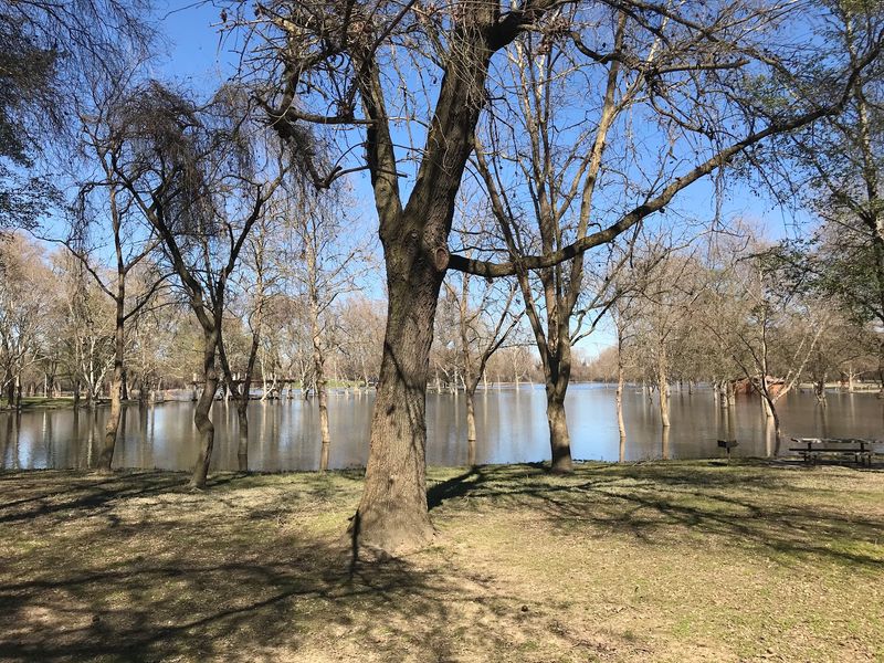
Heavy winter rains can flood parts of the park, which is normal for a riverside spot like this. Planning ahead keeps your day smooth and your tires dry.
Once you roll out, the river becomes your companion for the next 32 miles.
Thirty-Two Miles And Not A Single Car Horn
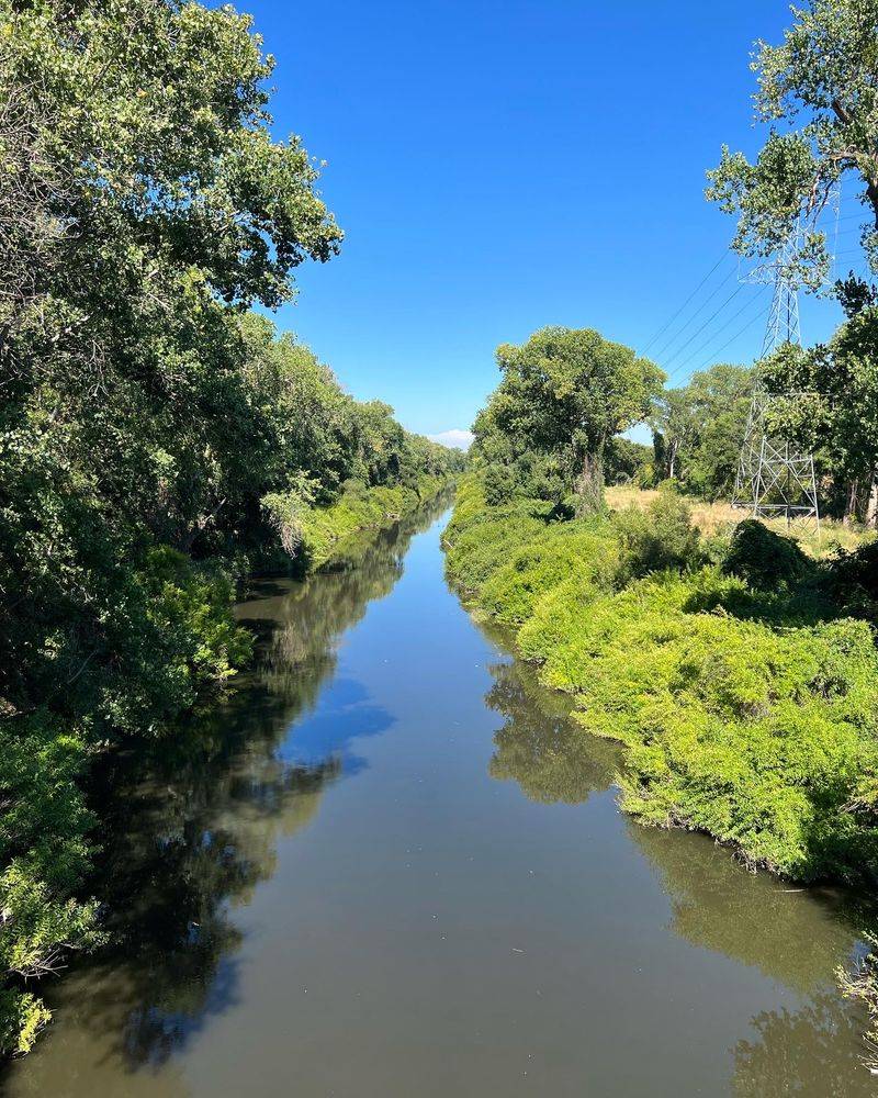
Silence is underrated. On this trail, the loudest thing you’ll likely hear is a bike bell or a bird.
The path is paved and built for people, not traffic. Cyclists, walkers, runners, and skaters share the route from Discovery Park all the way east to Beal’s Point at Folsom Lake.
That is a full 32 miles without dodging a delivery truck. For nervous riders or families with kids, that changes everything.
Roughly 5 million people use the trail each year. Some are out for exercise, while others are simply commuting across the Sacramento area.
With that many users, good manners matter. Stay to the right, pass on the left, and call out before you zoom past someone.
A little courtesy keeps the whole path friendly. Nobody likes being surprised by a speedy cyclist at their elbow.
The trail is open year-round from sunrise to sunset. That gives you plenty of daylight hours to choose your adventure.
You don’t have to ride the whole thing either. Short out-and-back trips are just as rewarding, and your legs will thank you.
Yes, That Bridge Looks Familiar For A Reason
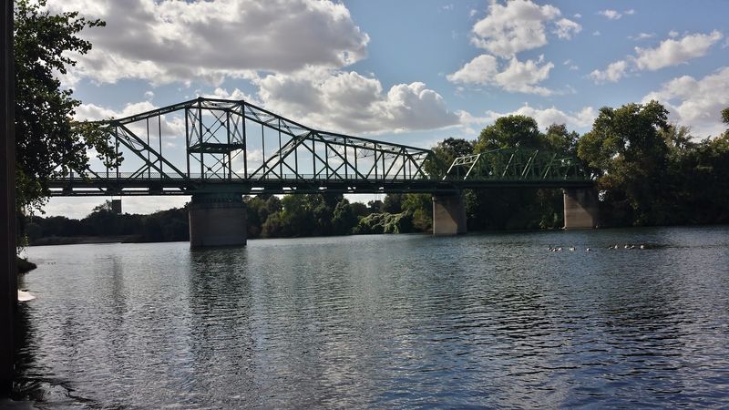
Somewhere along the route, you may do a double take. Is that the Golden Gate Bridge?
Not quite, but the Guy West Bridge does a pretty good impression. It is a suspension footbridge that looks like a scaled-down version of San Francisco’s famous span.
The bridge crosses the American River near the Sacramento State campus. Walkers and cyclists use it to hop from one side of the river to the other.
It makes a fun photo stop, especially if friends back home think you drove to the coast. Let them guess for a bit.
I find this detail particularly charming. A bike path does not need a mini landmark, but it sure is nice to have one.
The bridge breaks up the ride and gives you a natural spot to pause. Grab some water, stretch your legs, and enjoy the river view below.
Plan your stop around it if you are riding with kids. Spotting the little Golden Gate can become a mission that keeps young riders pedaling happily.
Keep Your Eyes Open For Feathered And Furry Neighbors
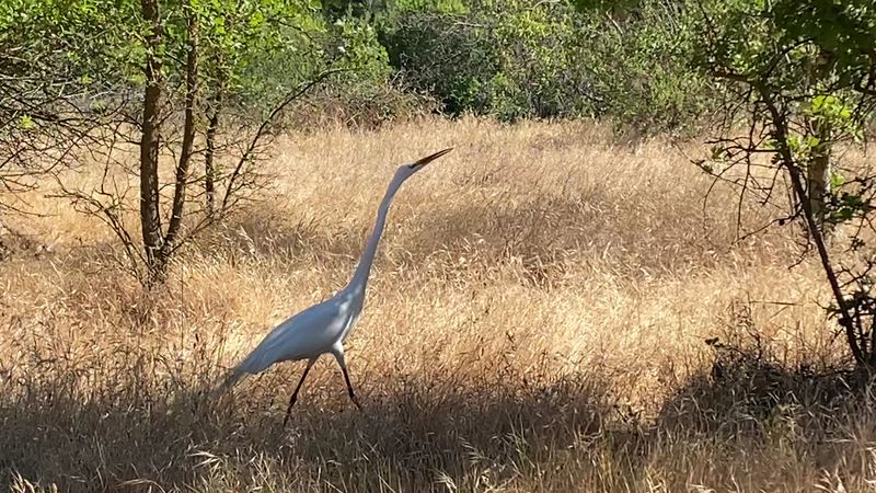
Wildlife sightings are part of the deal here. The trail runs through the American River Parkway, a long green corridor that gives animals plenty of room.
Along the way, you may spot birds near the water or animals moving through the grass. The scenery shifts from lush parks to wooded patches to open grassy stretches.
That mix of habitats is what makes the ride feel so lively. Each section has its own personality and its own residents.
Slow down when you see animals near the path. They live here full-time, and you are just passing through.
Keep a respectful distance and never feed them. A quiet pause usually gives you a better look anyway.
A small pair of binoculars can be handy if you enjoy birdwatching. A phone camera with zoom works well too.
Early mornings and evenings near sunset tend to feel calmer on the trail. Those softer hours can make the whole experience feel even more peaceful.
Just remember the trail closes at sunset. Wrap up your wildlife watching in time to roll home safely.
Salmon Get Their Own Pit Stop Near The Trail
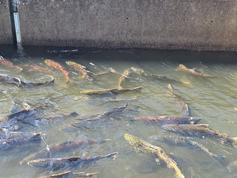
Few bike paths can claim a fish hatchery as a highlight. This one can.
The Nimbus Fish Hatchery sits near the trail on the American River. It plays a big role in raising salmon and steelhead for the river system.
For riders, it is a great reason to hop off the saddle for a while. Learning how fish get a helping hand adds a surprising twist to a bike outing.
Kids especially tend to get curious about fish ladders and holding ponds. It is science class, minus the homework.
Timing can matter if you hope to see fish activity. Salmon runs follow natural seasons, so check ahead with the hatchery before planning around it.
Even outside peak times, the stop offers a nice break and a closer look at the river. That breather can be welcome on a longer ride.
I have a feeling this one would leave an impression on first-timers. It is not every day a bike ride includes a lesson on the life of a salmon.
Flat Miles Make Big Goals Feel Doable
Good news for anyone who dreads hills. Most of this trail is pleasantly flat.
That makes it friendly for beginners, families, and anyone easing back into exercise. You can focus on the scenery instead of gasping up a climb.
Mile markers appear every half mile along the route. They are handy for tracking distance and planning turnaround points.
Want to ride exactly five miles out and back? The markers make it easy to count without fancy gadgets.
They also help if you need to tell someone where you are. Giving a marker number is clearer than saying you are near a big tree.
Restrooms and water fountains are available at various access points. Still, bring your own water bottle, especially on hot California summer days.
A basic repair kit is smart too. A spare tube and a small pump can save a long walk home.
Start with a short section if you are new. You can always come back and tackle more miles another day.
The Grand Finale Comes With A Lake View
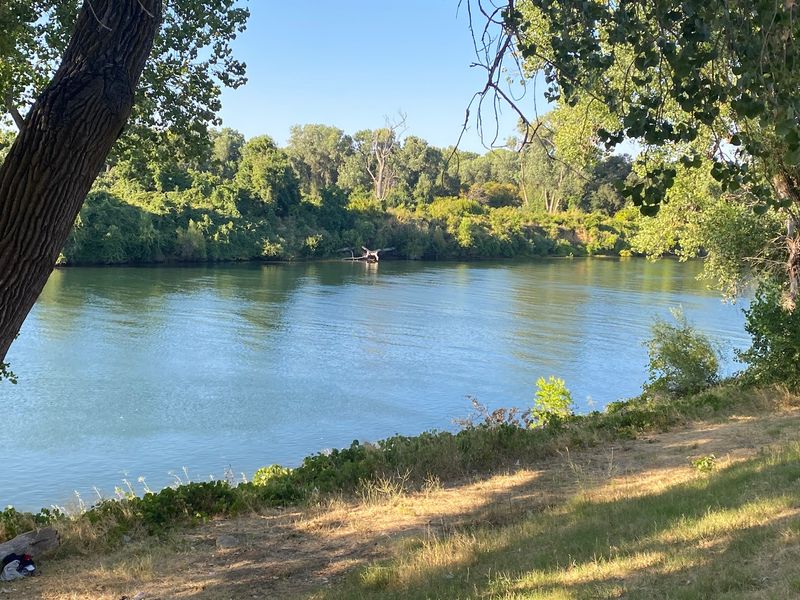
Thirty-two miles deserve a worthy finish line. Beal’s Point at Folsom Lake delivers one.
The eastern end of the trail reaches this popular spot in the Folsom Lake State Recreation Area. After hours along the river, a wide lake view feels like a reward.
Riding the full length is a serious accomplishment for many people. Some riders tackle it one way and arrange a pickup at the end.
That saves legs from doing a 64-mile round trip. Unless that is your goal, in which case, respect.
Beal’s Point is part of a state recreation area, so day-use fees may apply there. Check the details before planning your finish.
The lake makes a lovely place to rest before heading home. Pack a snack and take a few minutes to soak in the view.
Of course, you can also start here and ride west toward Sacramento. The trail works in both directions, and the river keeps you company either way.
Smart Moves Before You Clip In And Roll
A little planning turns a good ride into a great one. The Jedediah Smith Memorial Trail is easy to enjoy, but a few tips help.
First, choose your access point. The trail has many entry spots between Discovery Park and Folsom Lake, so you can pick a section that fits your energy level.
Arrive early on weekends if you plan to park at Discovery Park. Lots near popular areas can fill up, especially during big events.
The park hosts large music festivals at certain times of year. Those days can affect access, so check the county calendar first.
Wear a helmet and bring sunscreen. Summer heat in the Sacramento area can be intense, and shade is not constant.
Keep an eye on your belongings during stops. Basic awareness is smart on any public trail.
Most of all, take your time. This California classic has welcomed riders for decades, and it is not going anywhere.
A once top-ranked bike path with car-free miles and river views is worth a slow pedal. Your perfect stretch is waiting.