This 35-Mile Southern California Bike Trail Rolls From Mountain Foothills To The Pacific
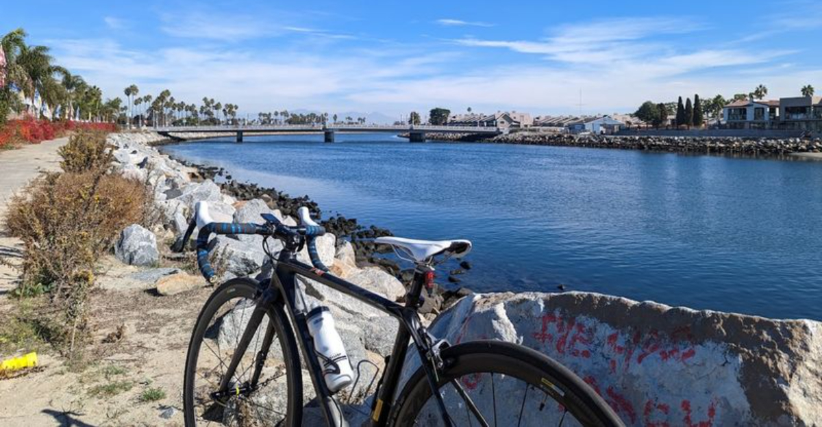
Few bike rides offer such a dramatic change of scenery without requiring a complicated route.
The journey begins near rugged foothills, where mountain views and dry inland landscapes set the tone.
Mile by mile, the surroundings shift. River channels, parks, neighborhoods, and open stretches carry riders steadily toward cooler coastal air and the promise of the Pacific.
Southern California rarely reveals so many sides of itself along one continuous path.
Cyclists can approach the route as a serious endurance ride or divide it into easier sections.
Long, mostly uninterrupted stretches make it appealing for steady cruising, while access points along the way allow shorter outings without committing to the entire distance.
Reaching the coast brings a satisfying sense of completion. The temperature drops, ocean breezes replace inland warmth, and the final miles feel noticeably different from the opening stretch.
The Ride Begins Beneath The San Gabriel Mountains
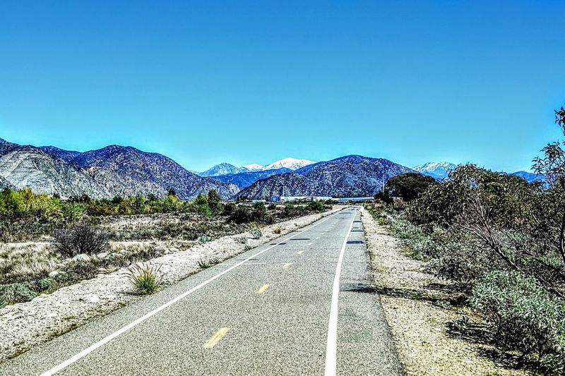
Starting a ride with mountain peaks looming ahead is about as motivating as it gets.
The San Gabriel River Trail’s northernmost point sits in Azusa, California, near Gabriel Canyon Road, also known as CA 39, approximately one mile east of its intersection with Ranch Road.
Parking near this trailhead tends to be limited, so arriving early on weekends can help avoid frustration.
A popular alternative starting point in the northern section is Encanto Park in Duarte, which offers convenient parking and clean restrooms.
A short bridge connects the park directly to the main trail, making the transition smooth and straightforward.
The surrounding scenery at this northern stretch features open views of the San Gabriel Mountains that serve as a striking visual backdrop throughout the early miles.
Morning light tends to hit the mountain faces at a particularly appealing angle, casting long shadows across the path.
The air feels noticeably cooler and crisper at this elevation compared to the coastal end of the trail.
Starting here sets the tone for a ride that gradually unfolds across an impressive range of Southern California landscapes over the course of many miles.
Nearly The Entire Route Stays Away From Street Traffic
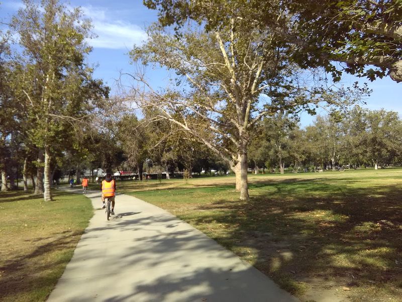
One of the most refreshing qualities of this trail is how thoroughly it avoids the chaos of Southern California traffic.
The San Gabriel River Trail runs almost entirely separated from regular vehicle traffic for its full length between Azusa and Seal Beach.
Cyclists encounter only three street crossings along the entire route, which is a remarkable statistic for an urban trail of this length.
The brief moments where the path merges with public roads are minimal, typically lasting less than one-tenth of a mile when crossing a bridge or navigating an intersection.
Roads and freeways generally stay off to the side, visible but not intrusive.
That buffer between riders and motor vehicles creates a sense of calm that is genuinely hard to find in a metro area as dense as Los Angeles County.
For families with younger riders or anyone who finds urban cycling stressful, this separation from traffic makes the trail feel far more approachable than most other long-distance routes in the region.
The path design prioritizes a continuous, uninterrupted flow that encourages riders to settle into a comfortable rhythm.
That consistency is a big part of what makes this particular trail so well-regarded among local cycling communities.
Santa Fe Dam Adds A Wide-Open Reservoir Detour
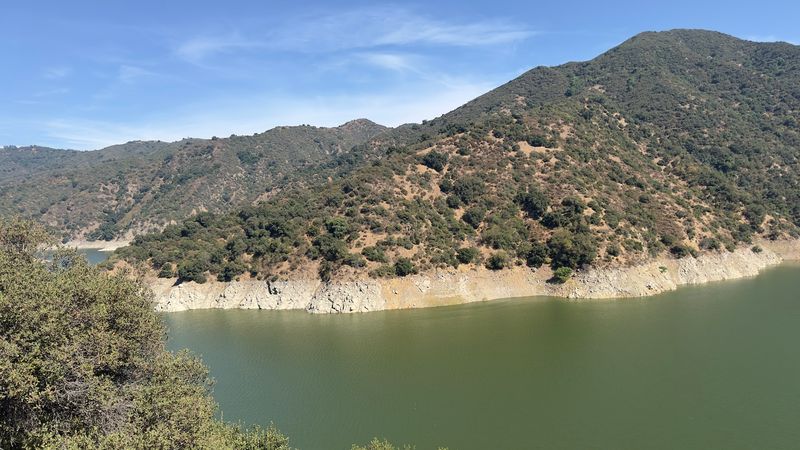
Riding through the Santa Fe Dam Recreation Area feels like the trail briefly stepping outside its usual river-corridor character.
This large open space encompasses a nature center and a reservoir, giving the route a wide, exposed quality that contrasts sharply with the shadier, more enclosed sections elsewhere on the path.
Sun exposure here can be intense, so carrying extra water before entering this stretch is a practical move.
There is a short but notably steep elevation change near the dam structure itself, adding roughly 40 feet of gain to an otherwise flat ride.
The path stretches for several miles along the top of the dam, offering panoramic views of the surrounding basin.
On clear days the San Gabriel Mountains remain visible to the north, providing a satisfying visual reminder of where the ride began.
The Santa Fe Dam also represents a meaningful geographic marker along the journey.
Hydrologically speaking, this area functions as the last major water collection point before the San Gabriel River continues its gradual descent toward the Pacific Ocean.
The scale of the dam and the openness of the landscape around it give this section a quietly dramatic feeling that stands out from the rest of the trail’s character.
Whittier Narrows Creates One Of The Greenest Sections
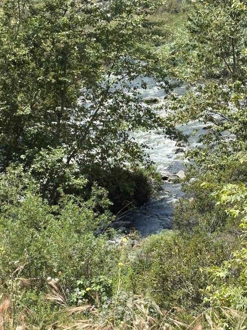
Arriving at the Whittier Narrows section after miles of more urban and industrial scenery feels like a genuine exhale.
The landscape opens into a wide natural expanse where the river has largely been preserved in a less channelized state.
Water birds including great blue herons, snowy egrets, and least bitterns can often be spotted near the water’s edge, adding a quiet wildlife-watching dimension to the ride.
The Whittier Narrows Nature Center sits at 1000 S. Durfee Ave, South El Monte, CA 91733, offering restrooms and drinking water that are especially welcome for riders covering the full trail length.
The surrounding habitat supports a surprising density of plant and animal life given its proximity to the urban sprawl of the greater Los Angeles area.
Tall vegetation along the riverbanks provides welcome shade that can feel like a reward after the more exposed sections to the north.
Slowing down through this stretch pays off in a way that purely distance-focused riders might miss. The sounds shift noticeably here, with birdsong replacing the ambient hum of nearby roads.
Whittier Narrows consistently ranks among the most visually appealing portions of the entire San Gabriel River Trail for good reason.
The Scenery Changes Constantly Along The River
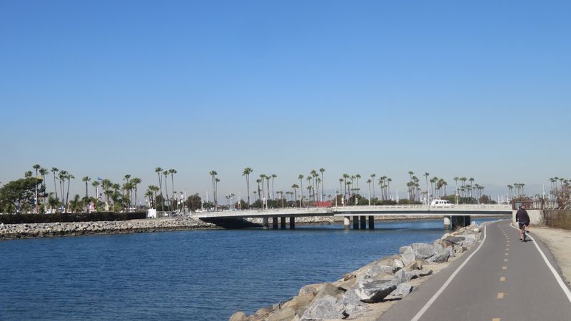
Covering roughly 35 to 39 miles depending on the source, the San Gabriel River Trail is never the same view for long.
The northern segments near Azusa feature riparian vegetation and eucalyptus trees that line the path with a soft, naturalistic quality.
Moving southward, the trail passes through residential neighborhoods, industrial zones, and commercial corridors that reflect the working texture of suburban Los Angeles County.
In more developed areas, the river runs through concrete flood channels, which gives those stretches a distinctly engineered look.
Some riders find this industrial aesthetic interesting in its own right, offering an honest portrait of how Southern California has managed its water infrastructure over decades.
As the trail approaches Long Beach, the concrete gives way to riprap boulders and pockets of natural greenery that signal the gradual return to a more organic riverscape.
That constant evolution of scenery keeps longer rides feeling mentally fresh in a way that a monotonous trail simply cannot.
Each new visual shift serves as a subtle milestone, helping riders track progress without obsessively checking distance.
The variety of environments encountered along a single continuous path is genuinely one of the San Gabriel River Trail’s most underappreciated strengths.
Long Flat Stretches Make Distance Riding Easier
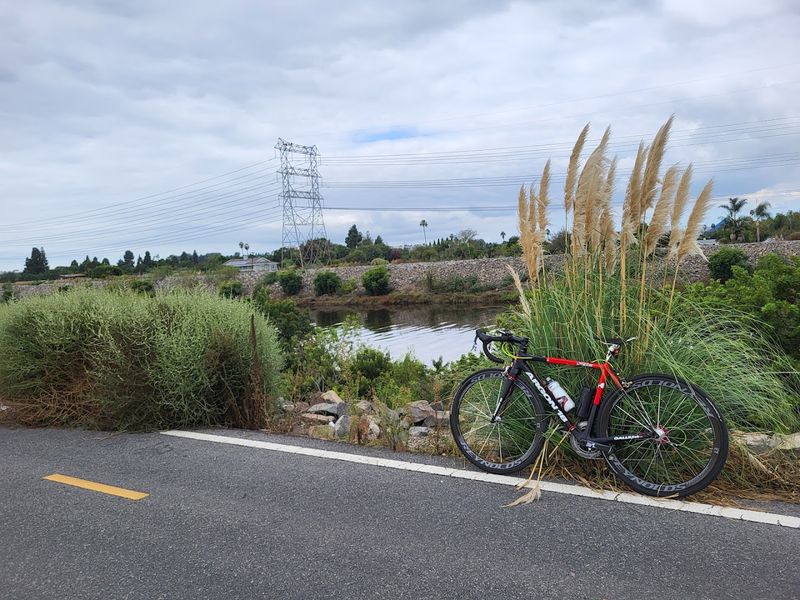
Flat trails have a particular appeal for riders who want to cover serious distance without spending the day grinding uphill.
The San Gabriel River Trail drops approximately 800 feet in total elevation from its start in Azusa to its finish in Seal Beach, but that descent is spread across dozens of miles in a way that feels almost imperceptible for most of the ride.
The gradual downhill grade when traveling south means legs stay fresher for longer.
Most of the trail is paved and rides smoothly, with the first 27 miles from the Seal Beach end manageable even on a beach cruiser according to those familiar with the route.
The main exception is the short steep ramp near the Santa Fe Dam, which involves around 40 feet of elevation gain and can catch unprepared riders off guard.
Aside from that one bump, the overall difficulty level is generally described as easy to moderate.
That accessibility is a genuine asset for anyone who wants to attempt a longer ride without extensive training.
Commuter cyclists, recreational families, and fitness-focused riders all find the trail’s forgiving profile welcoming.
The combination of minimal climbing and smooth pavement makes it one of the more confidence-building long-distance routes available in Southern California.
Several Parks Offer Convenient Places To Take A Break
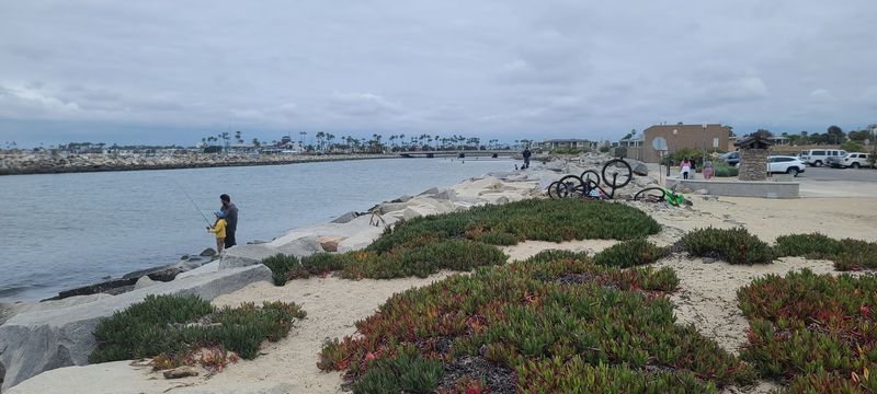
Knowing where to stop and rest is part of smart trail planning, and the San Gabriel River Trail gives riders plenty of options.
Encanto Park in Duarte provides clean restrooms and parking near the northern end, making it a reliable starting or stopping point for those riding the upper section.
Near the midpoint of the trail, Santa Fe Springs Park offers facilities for rest, water, and restrooms that can extend a ride considerably.
Further south, El Dorado East Regional Park in Long Beach is a standout stop with a notably wide range of amenities.
The park includes an archery range, a nature center, and fishing lakes spread across a generous footprint of green space.
Riders who time their stop here during midday can take advantage of the shade and the more relaxed pace of the park environment before pushing on toward the coast.
Pío Pico State Historic Park is another option worth noting along the route, featuring adobe buildings that carry genuine historical significance for the region.
Having multiple well-spaced rest stops means riders can break the full trail into manageable segments without ever feeling stranded between facilities.
That practical infrastructure is one of the quiet reasons the trail works so well for both casual and more ambitious cyclists.
The Path Connects With The Growing OC Loop
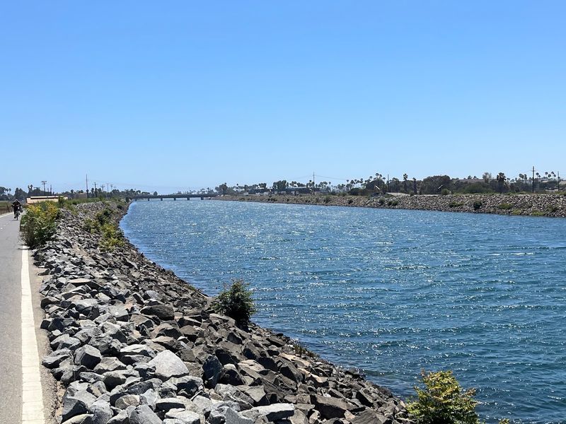
The San Gabriel River Trail does not exist in isolation. It serves as a key segment of the larger Orange County Loop, commonly known as the OC Loop, which aims to connect 66 miles of trails for biking and walking across Orange County.
Nearly 58 miles of that network are already established, making it one of the more developed regional trail systems in Southern California.
The OC Loop uses existing off-street paths along major waterways including the San Gabriel River, Coyote Creek, and the Santa Ana River, as well as a Coastal and Beach Trail segment.
These connections give riders access to beaches, parks, schools, businesses, and residential neighborhoods without requiring significant time on public roads.
An ongoing project to bridge a remaining gap in the San Gabriel River and Coyote Creek multi-purpose trail section will further strengthen the network when completed.
For cyclists who enjoy long-distance route planning, the OC Loop connection transforms the San Gabriel River Trail from a standalone ride into part of something much larger.
Riders can extend their journey well beyond Seal Beach by linking onto adjacent trail segments that continue through Orange County.
That expanding connectivity is gradually making car-free cycling across a substantial portion of Southern California a realistic and appealing possibility.
Seal Beach Delivers A Proper Pacific Ocean Finish
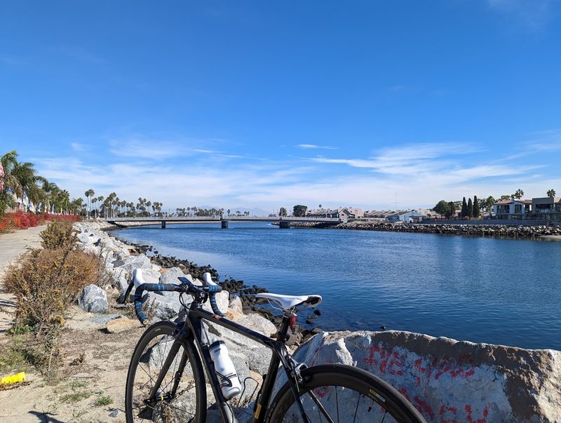
Reaching the Pacific Ocean at the end of a 35-mile ride carries a particular kind of satisfaction that is hard to manufacture artificially.
The trail approaches the river mouth in Seal Beach, passing beneath State Route 1, also known as Pacific Coast Highway, before officially concluding at River’s End Park with direct access to the oceanfront.
The contrast between the mountain foothills where the ride began and the breaking waves at the finish is genuinely striking.
Near First Street in Seal Beach, the area around the trail’s northern end offers access to a small café for riders looking to refuel after completing the route.
The beach itself stretches in both directions from the river mouth, offering a natural destination for those who want to walk down to the water and mark the moment.
Seal Beach has a relaxed, small-town coastal character that feels less hectic than many other Southern California beach destinations.
The Pacific Ocean finish is not just a geographic endpoint but a genuine payoff for the effort invested across the full length of the trail.
Few other urban bike trails in California can claim a conclusion this visually and emotionally rewarding.
Ending a long ride with sand underfoot and ocean air in the lungs is the kind of experience that tends to bring riders back for a second attempt.