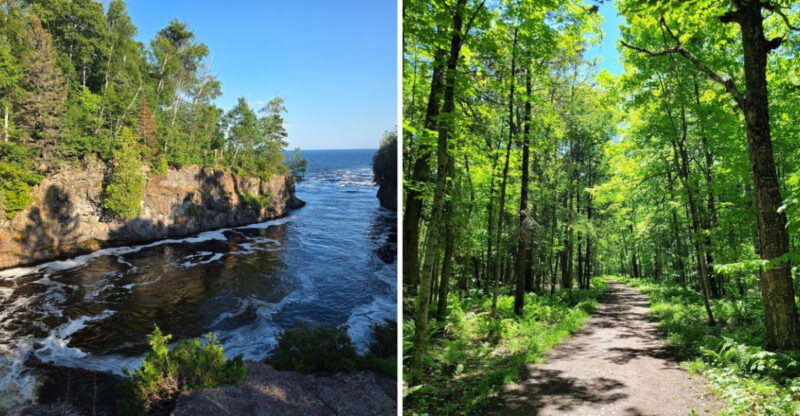
This Minnesota Rail Trail Lets You Pedal Through Lakeside Scenery On An Old Railroad Line
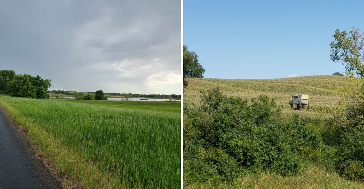
The map showed a straight gray line, nothing more, so I expected exactly that. Straight, flat, forgettable.
Then the trees opened up and a lake appeared out of nowhere, followed by another, and another, until I lost count somewhere past the tenth. Old railroad tracks once ran through here, and you can still feel that history in the gentle grade beneath your tires.
Minnesota keeps trails like this quietly stitched between small towns, connecting bakery smells to birdsong without much warning in between. I planned a short ride and ended up pedaling for hours, distracted by every new view around each bend.
Minnesota rarely advertises its best routes loudly, letting cyclists stumble onto them one mile at a time instead. This one deserves more attention than a straight line on a map ever suggests.
A Railroad Corridor With A Second Life
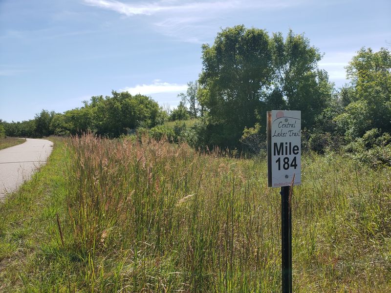
Trains once rumbled here, hauling freight across west-central Minnesota. Today the only rumble comes from bike tires on smooth asphalt.
The state purchased this abandoned Burlington Northern Railroad line back in 1992. It became Minnesota’s 23rd State Trail, and the paved path officially opened in 2005.
Rail corridors make excellent bike routes for one simple reason. Trains hate hills, so engineers built the grade almost perfectly level.
That flat design pays off the moment you start riding. Your legs stay fresh, your breathing stays easy, and your eyes stay on the scenery.
The pavement measures 14 feet wide, which is generous by trail standards. Two cyclists can ride side by side while a family passes safely in the other direction.
Total length runs about 55 miles, and you can tackle it in pieces. Nobody hands out medals for finishing it in one day.
History still peeks out along the route in quiet ways. Old railroad buildings and grain elevators stand in several towns, holding their ground.
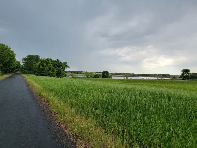
Riding it feels like gliding through a long, narrow park with no end in sight. That park is the Central Lakes Trail.
Nine Lakes In Four Miles Near Alexandria
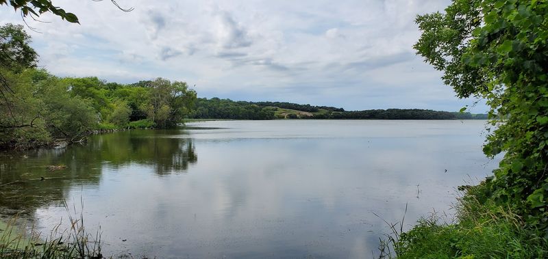
Most trails brag about one good water view. One stretch here serves up nine different lakes in roughly four miles.
That short section sits near the Alexandria area, and it changes the whole mood of a ride. Water appears on your left, then your right, then both.
Blue keeps flashing between the trees like someone flipping a light switch. You slow down without meaning to.
Bring a water bottle and a camera, because you will stop more than planned. I averaged a full mile per hour slower through this part.
Morning light works best if you want mirror-flat reflections. Wind usually picks up by midday and turns the surfaces choppy.
Names like Central Lakes are not marketing fluff. Dozens of lakes, large and small, keep company with riders across the entire route.
Benches and shaded pull-offs appear often enough to make lingering easy. Sit for five minutes and watch a loon or two work the water.
Pack a snack and eat it lakeside instead of at a picnic table. The view costs nothing and beats any restaurant patio nearby.
Birdwatching Stops At Lake Christina And Pelican Lake
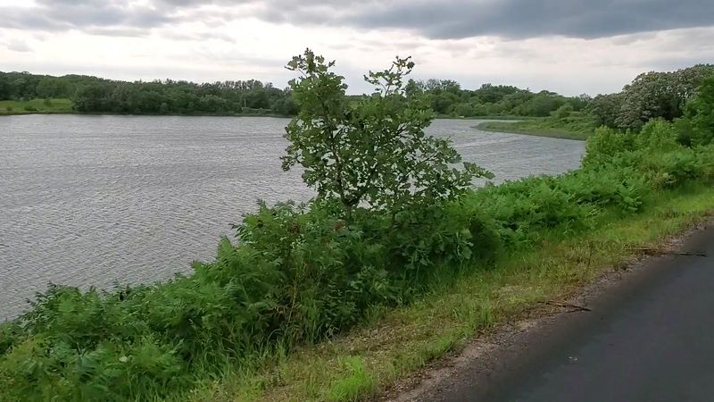
Binoculars belong in your handlebar bag on this route. Lake Christina draws migrating waterfowl in impressive numbers.
Shallow water and healthy vegetation make it a favorite rest stop for traveling birds. Spring and fall bring the biggest crowds of feathers.
Further along, wide views of Pelican Lake open up and demand attention. The scale of the water surprises first-time riders.
Bird activity peaks early, so an alarm clock earns its keep here. Bird activity varies by season, weather, and time of day.
Ducks paddle in the shallows while turtles sun themselves on logs. An eagle occasionally cruises overhead, and the whole trail seems to pause.
Move slowly and stay quiet near the shoreline sections. Bikes are naturally silent, which gives cyclists a real advantage over drivers.
A simple pocket bird guide makes the experience richer. Identifying one new species turns a nice ride into a memorable one.
Grasslands and wetlands along the corridor support the whole system. Protecting those habitats is exactly why this ribbon of green matters so much.
Wildlife Sightings Between The Cattails
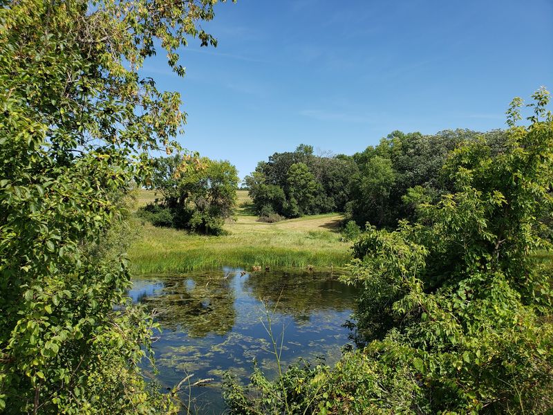
Deer have a habit of appearing right when you stop pedaling. Rabbits dart across the pavement like they own the place.
Beavers work the wetland edges and leave obvious evidence behind. Chewed stumps and mud lodges tell the story clearly.
The corridor cuts through grasslands, wetlands, woodlands, and working farm fields. That mix explains the variety of animals you might spot.
Turtles love warm asphalt, so watch the path in front of your wheel. Give them room and let them finish their slow crossing.
Evening rides deliver the best odds for larger animals. Dawn works nearly as well if you prefer cooler air.
Early summer brings a floral bonus that catches people off guard. Wildflowers may appear along parts of the corridor, with blooms varying by location and conditions.
Minnesota’s showy Lady’s Slipper is the official state flower, and it grows slowly. Look, photograph, and leave every plant exactly where it stands.
Keep noise low and speed reasonable through wooded stretches. Wildlife rewards patience far more than it rewards fast riding.
Ten Small Towns Strung Along The Route
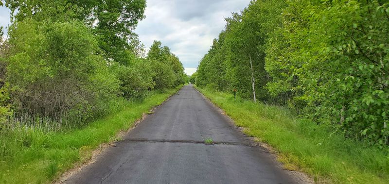
The trail passes through ten communities between Fergus Falls and Osakis. That spacing is practically a gift to casual riders.
You never pedal too long before something appears on the horizon. A water tower, a grain elevator, a church steeple.
Trip planning becomes simple with towns arranged like beads on a string. Pick two, ride between them, then turn around.
Dalton offers a park with a playground and restrooms for families. Kids burn off energy while parents stretch tired legs.
Ashby carries genuine small-town character without trying hard. Quiet streets, friendly waves, and a comfortable pace.
Riders heading out from Fergus Falls pass a notable geographic marker. The Continental Divide crosses the route in that stretch.
Each town has its own personality, which keeps the miles from blurring together. Stopping is half the fun of the whole trip.
Bring small bills for local shops and bakeries. Cash still moves faster than card readers in a few of these places.
Restrooms Repair Stands And Practical Wins
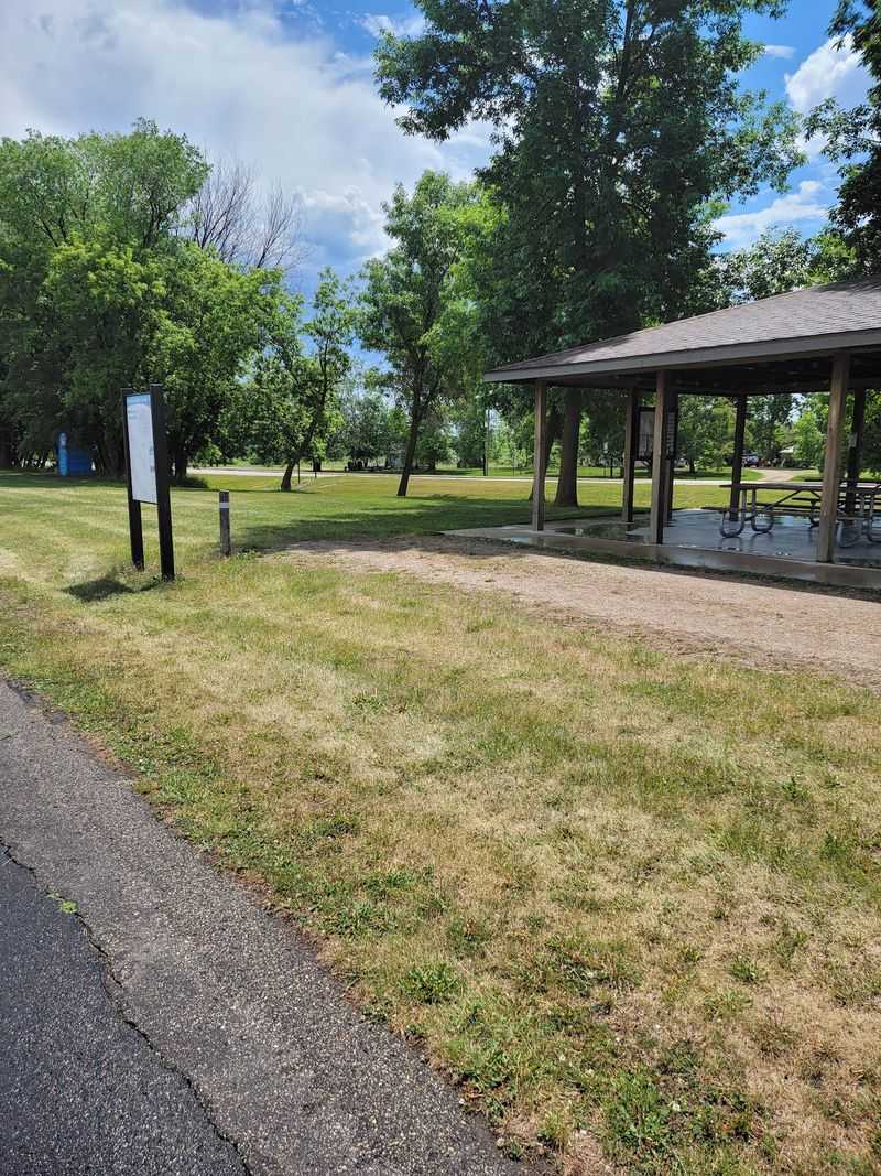
Nothing ruins a ride faster than a flat tire and no pump. Repair stations sit at various trailheads along this route.
Those stands usually include basic tools and an air pump. A five-minute fix beats a five-mile walk every single time.
Restrooms and picnic areas show up regularly in the trailside towns. Families with young riders will appreciate that more than anyone.
Camping facilities exist along the corridor for people planning multi-day trips. Riding one direction and camping overnight makes a great weekend.
Water availability varies by community and season, so carry enough for your planned distance. Summer heat on open stretches drains a bottle fast.
The wide pavement handles road bikes, hybrids, and inline skates comfortably. Trail-a-bikes and kid trailers roll along without any trouble.
Check your tire pressure before leaving the parking lot. Smooth asphalt only helps if your tires are properly inflated.
A basic patch kit and a spare tube round out the essentials. Everything else is optional comfort.
Big Ole The Viking And A Depot Turned Restaurant
A 28-foot Viking statue is not something you pedal past casually. Big Ole stands guard and makes everyone reach for a phone camera.
You will find him near Big Ole Park at 200 Broadway Street, Alexandria, Minnesota 56308. Parking nearby makes it an easy stop.
The statue has become a genuine landmark for the surrounding region. Kids especially love standing at his feet for scale photos.
Hunger tends to arrive around mile fifteen, right on schedule. A historic former train depot in the area now houses a restaurant.
Lake views from that depot building make lunch feel like an event. Eating where passengers once waited for trains adds a nice touch.
Cafes, convenience stores, and restaurants appear in several communities along the way. Refueling is never a real problem.
Plan your longest riding block before the meal, not after. Heavy food and bike seats are not close friends.
Downtown streets here offer shops and attractions worth an extra hour. The bike can wait patiently outside.
Where The Trail Links Up For 100-Plus Miles
Fifty-five miles is already a serious ride. The story gets better at the eastern end in Osakis.
There the pavement joins the Lake Wobegon Trail without any awkward gaps. One route flows directly into the next.
Combined, the two create more than 100 miles of continuous paved trail. Long-distance riders treat that as a legitimate destination.
Weekend tourers can split the distance across two or three days. Towns along both routes handle food and lodging needs.
Riders came from all over for that connected mileage, and the appeal is obvious. Uninterrupted pavement is rare anywhere in the country.
Shuttle planning helps if you prefer one-way riding. Two cars parked at opposite ends solve the logistics neatly.
Fall might be the best season for the full run. Cooler air, fewer bugs, and maple color along the wooded sections.