This North Carolina Waterfall Was Off Limits For Decades, And Now The Public Can Finally See It
A crayfish found nowhere else on Earth is not what I expected to discover beside a mountain waterfall.
The creek feeding this cascade in western North Carolina supports that rare species, along with wildflowers that thrive in the constant spray.
For decades, most people never had access to the waterfall because it sat on private land.
Then plans for new homes put the 57-acre property at risk.
A conservation group bought the land instead, and that twist is what makes the story so satisfying to me.
Even the trail carries meaning.
It honors a woman who became the first female member of North Carolina’s stream commission and spent years advocating for clean water.
Now a short walk leads to a place that almost became something completely different.
The Secret Got Out, And It Was Saved Just In Time
Private land kept this waterfall hidden for generations. Only a small number of people ever got a good look at it.
That changed when Mainspring Conservation Trust bought the 57-acre property in 2024. The land had been slated for residential development, so the timing mattered a lot.
Today it’s known as Cover Falls Preserve, and anyone can visit. The official ribbon-cutting took place on June 5, 2026.
That day opened both the preserve and its brand-new trail to the public.
I find it pretty wild to think about what almost happened here. Instead of driveways and rooftops, you get a creek, a forest, and a cascade tumbling over rock.
That’s a trade I’d sign off on every single time.
The preserve sits just one mile outside the town of Andrews, in Cherokee County. Somehow it still feels secluded once you’re among the trees.
It’s a rare combo of easy to reach and hard to believe.
This place also proves that conservation isn’t just about saving land for later. Sometimes it means handing a hidden treasure back to the community right now.
Western North Carolina gained something special with this one.
Meet The Trailblazer Behind The Trail’s Name
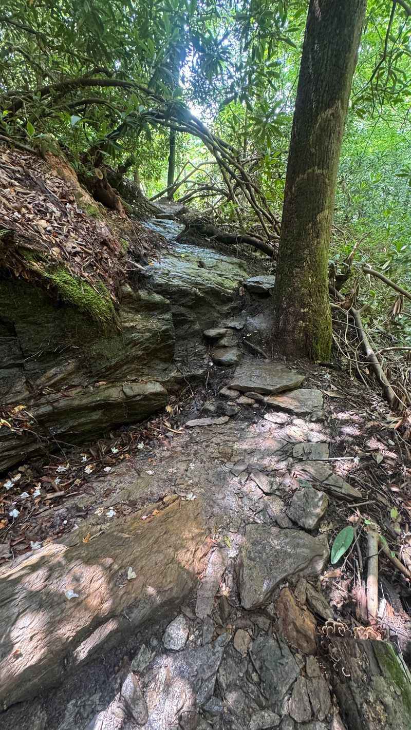
Lillian Brittain Cover was an Andrews native with a serious résumé. She became the first woman to serve on North Carolina’s State Stream Commission.
She was a political pioneer at a time when that took real grit. She also championed clean water and conservation long before those ideas made headlines.
So it makes perfect sense that the path to the falls carries her name. The Lillian Brittain Cover Trail honors her work in the most fitting way possible.
People now walk beside a clean mountain stream because of efforts like hers.
I like that the preserve tells a human story, not just a scenic one. Too many trails get named after nothing in particular.
This one gives you a reason to pause and think about who fought for these waters.
Her legacy feels especially meaningful in her hometown. The falls sit just outside Andrews, the same community she came from.
It’s a little like the land is saying thank you.
Next time you cross the creek, give her a quick mental nod. Clean water rarely happens by accident.
Someone usually has to stand up for it first.
Bring Your Camera Because This Cascade Shows Off
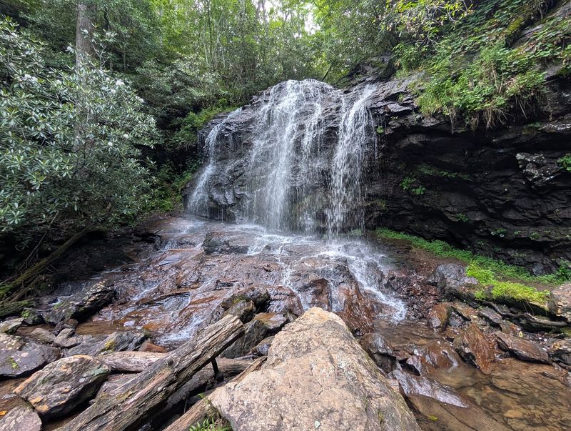
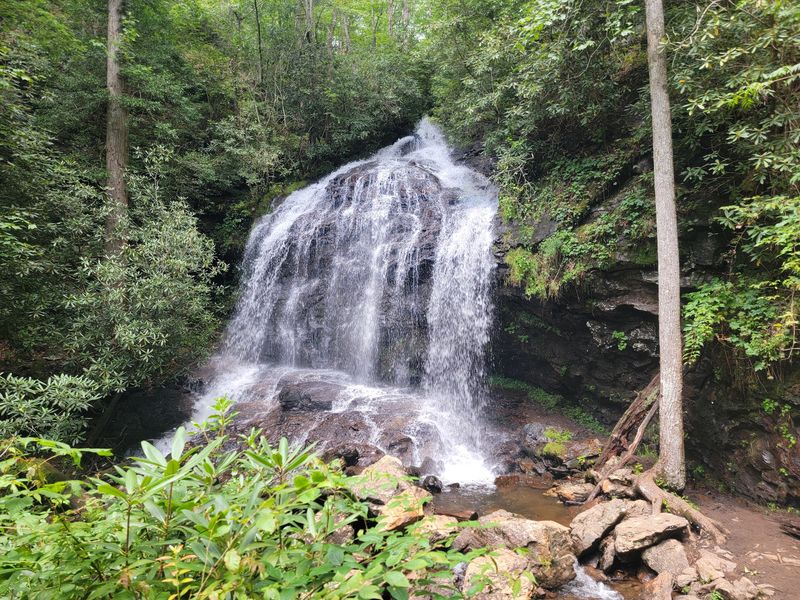
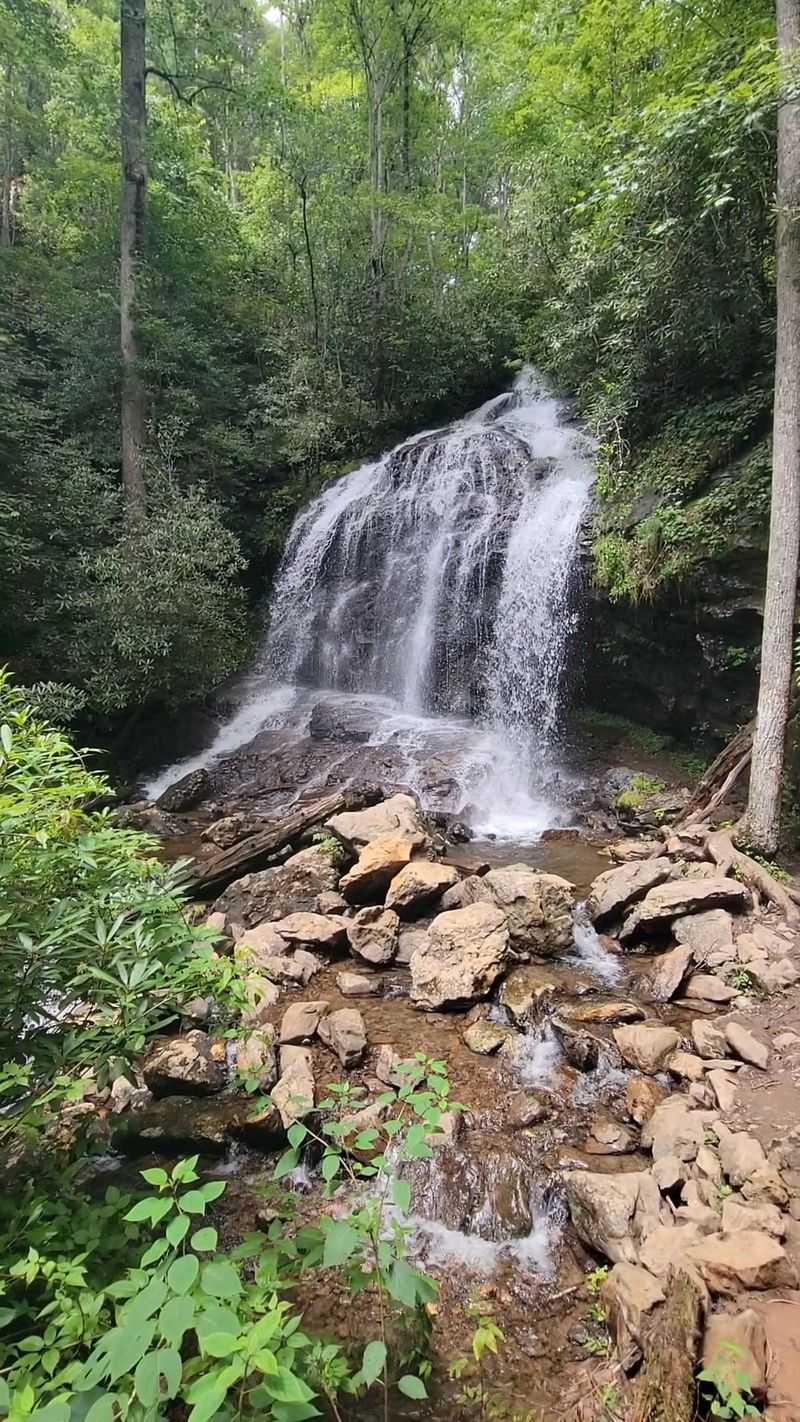
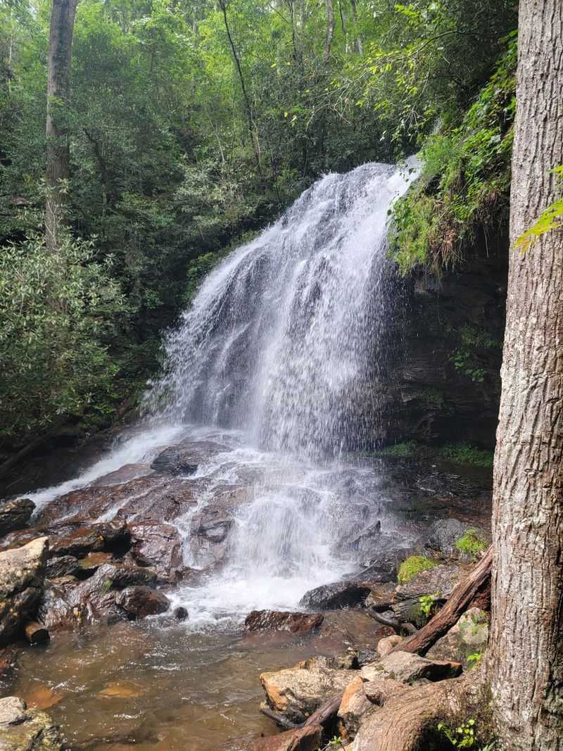
Height estimates for this waterfall vary depending on who’s measuring. Mainspring Conservation Trust describes a 30-foot cascade, while NC Waterfalls measures its total height at approximately 55 feet.
Either way, the water puts on a show. It spills over broad rock formations and fans out in a misty curtain.
Photographers will have a field day here.
The falls belong to Britton Creek, a lovely trout stream. That creek is a tributary of the Valley River, which flows through the Andrews area.
Native rhododendron and hardwood forest wrap around the whole scene. When the rhododendrons bloom, the frame gets even prettier.
Green, white, and pink make a hard combo to beat.
A spray-cliff waterfall means the mist never really quits. That constant moisture changes everything around it, as you’ll see shortly.
It also keeps the area feeling cool and peaceful.
My advice is simple. Bring a lens cloth, because that spray will find your camera.
Then take your time and try a few different angles from safe, designated spots.
Wildflowers That Live On Waterfall Mist
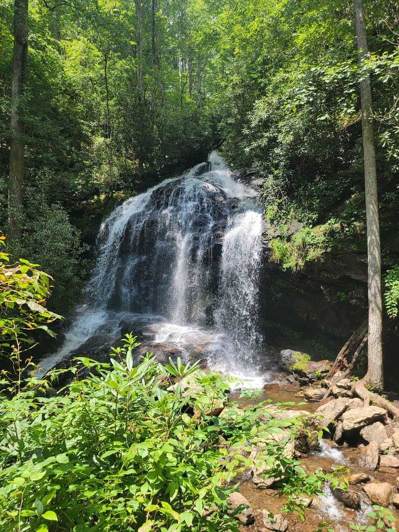
Most wildflowers wait politely for spring. The ones near Cover Falls have a different plan.
Constant spray from the waterfall keeps the nearby rocks and soil damp. That steady moisture creates ideal conditions for rare wildflowers that depend on the cool, damp habitat around the falls.
It’s basically a natural misting system that never takes a day off.
Spray-cliff habitats like this are special because conditions stay so steady. Plants that need cool, wet surroundings can thrive in a spot like this.
Lose the spray, and you’d likely lose the plants too.
That’s one big reason the preserve asks you to stay on designated trails. Stepping off the path can crush delicate plants and damage soils.
A careless shortcut can undo years of growth in seconds.
I think it’s kind of charming that a waterfall basically runs its own greenhouse. The mist does the gardening while the rhododendrons stand guard.
Nobody had to plant a thing.
So when you reach the falls, slow down and look closely at the edges. The tiny details deserve as much attention as the big splash.
Just admire them from the trail and let them keep growing.
A Short Walk With A Few Sneaky Surprises
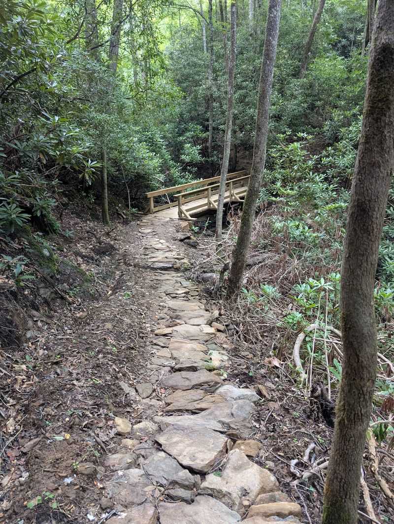
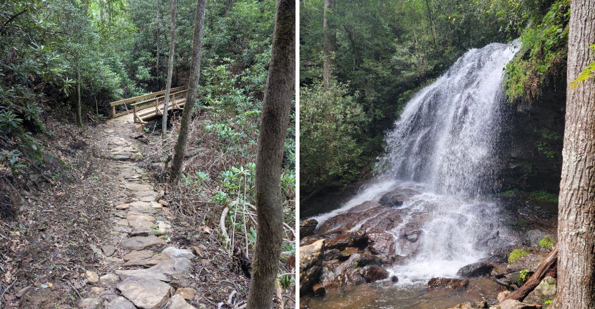
Half a mile doesn’t sound like much. The first phase of the Lillian Brittain Cover Trail runs about that far one way.
Don’t let the short distance make you careless, though. Ratings range from easy to moderate-to-difficult, depending on the source.
One section climbs steeply using switchbacks.
Along the way, you’ll cross a footbridge over Britton Creek. After that, the path gets rockier in places.
Some spots turn slippery and muddy thanks to the natural terrain.
That’s why closed-toed, sturdy shoes are strongly recommended. Flip-flops are a bold choice here, and not a good one.
Your ankles will thank you for the extra grip.
A trekking pole or walking stick can help too, especially on the uneven bits. Take the steep stretch slowly and enjoy the forest while you catch your breath.
Big plans are on the way as well. The preserve hopes to eventually build a 1.3-mile loop trail.
That means even more woods to explore on future visits. For now, the out-and-back route makes a great little adventure for most hikers.
Tiny Neighbors You Will Not Find Anywhere Else
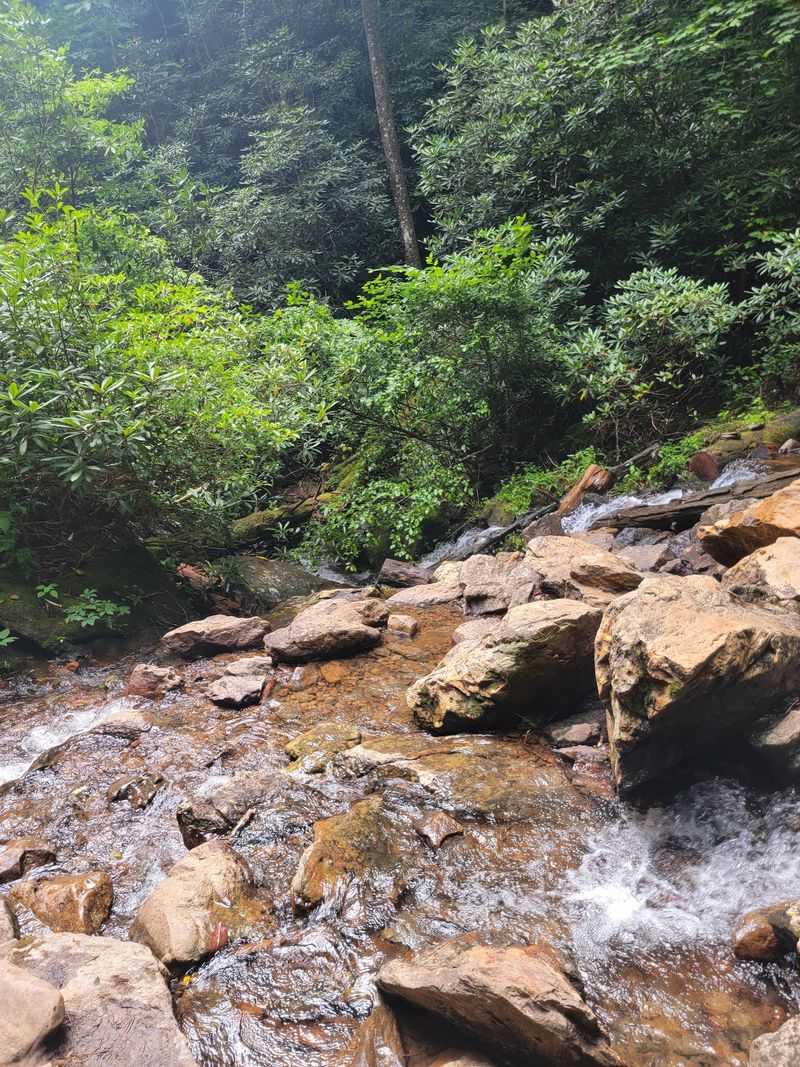
Here’s a fun fact for your next trivia night. Britton Creek is home to the Valley River Crayfish, a species found nowhere else on the planet.
That’s right, this unusual species is found only in parts of Cherokee and Clay counties in western North Carolina. Talk about an exclusive address.
The creek also supports native brook trout. These fish need cold, clean water to thrive, so their presence says a lot about stream health.
Lillian Brittain Cover would surely approve.
Wildlife protection shapes the preserve’s rules in important ways. Dogs aren’t permitted on the trail or at the falls.
The goal is to protect wildlife and the rare species living here.
I know leaving your pup at home can sting a bit. Still, it helps to remember that a one-of-a-kind crayfish can’t exactly move somewhere else.
Plan ahead so nobody gets disappointed at the trailhead.
Keep your eyes on the water and the damp forest floor. Small creatures are part of what makes this preserve so valuable.
Watching quietly beats grabbing or disturbing them every time.
A Protected Mountain Creek With Wildlife Worth Watching
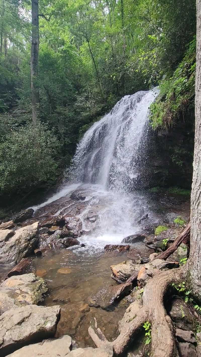
Cover Falls Preserve gives visitors a chance to explore a protected mountain landscape while respecting its delicate natural habitats.
Visitors can explore the preserve on foot and enjoy views of the waterfall from designated areas. The rocks around the falls can be extremely slippery, so staying on marked trails is the safest way to experience the scenery.
Mountain creeks don’t hand out second chances on footing.
Britton Creek supports native brook trout, making its cool, clean waters an important part of the preserve’s conservation story.
Water levels and conditions can change, especially after rain. Wet rocks near a spray-cliff waterfall stay slippery pretty much all the time.
Watch every step, even when the view begs for your attention.
Honestly, simply enjoying the falls from a safe spot along the designated trail counts as an activity too. The sound of falling water does wonders for a busy brain.
I’d call it free therapy with a mountain view.
Whatever you choose, leave the spot exactly as you found it. Pack out your trash and stay on the designated paths.
Future visitors will enjoy it just as much.
History Runs Right Along The Property Line
Some boundaries are just lines on a map. This one carries real weight.
The preserve borders more than 2,200 feet of Tatham Gap Road. That road is a segment of the Trail of Tears, one of the most somber chapters in American history.
The Trail of Tears marked the forced removal of the Cherokee people from their homelands. Cherokee County itself carries the name of the nation tied so deeply to these mountains.
That connection gives the preserve a meaningful historical layer.
Protecting land beside this route helps preserve its setting too. Development could have changed the landscape around it for good.
Instead, the forest remains wooded and quiet.
I believe places like this deserve a moment of reflection, not just a quick photo. A waterfall hike can also become a chance to learn.
Reading up before your trip makes the visit far more meaningful.
So while the falls grab the spotlight, take a second to remember the bigger story. The land around Andrews holds history worth respecting.
That makes this preserve about more than just pretty water.
Carpool Now, Thank Yourself Later
Parking at the trailhead is small, so plan accordingly. The preserve encourages visitors to carpool whenever possible.
You’ll find the trailhead at 158 Cover Falls Rd, Andrews, NC 28901. From the junction of US-19/129/74 Bypass and Beaver Creek Road in Andrews, head north on Beaver Creek Road for about a quarter mile, then turn right onto Stewart Road.
Then turn left on Cover Falls Road to reach the parking area on the right.
Here’s a handy tip. Plug in the trailhead address rather than the falls themselves.
Map apps may otherwise steer you somewhere unhelpful.
Visitors should check the preserve’s current posted hours before arriving, as published opening times differ.
Beyond the falls, the 57 acres connect to more than 30,000 acres of U.S. Forest Service land.
That’s the Snowbird Mountains, stretching wild and wide. The preserve also joins a growing network of accessible waterfalls around the Nantahala area.
Pair it with a wander through Andrews and you’ve got a lovely North Carolina day. Short drive, short trail, big payoff.
Not bad for a waterfall that used to be off limits.