This Scenic Idaho Bike Trail Passes Through Miles Of Pines And Open Mountain Terrain

I almost turned back after the first mile. My legs were burning, the sun was relentless, and I started questioning every decision that led me here.
Then the pines opened up, and I forgot all of it instantly. Some places do that to you.
Idaho’s state parks and trail systems have a quiet reputation among serious cyclists, but this particular route is something else entirely. It runs 73 miles through dense forest corridors, open mountain terrain, and glittering lakeshores that look painted, not real.
The state has carved out something genuinely special here, and not enough people know about it. No traffic.
No noise. Just you, your bike, and scenery that keeps getting better with every pedal stroke.
This one earns its place on any bucket list.
A 73-Mile Paved Adventure Unlike Any Other

Not every trail earns the title of legendary, but this one comes pretty close. Running 73 miles from Mullan in the east to Plummer in the west, the Trail of the Coeur d’Alenes is a full-on adventure built for everyone.
The trail follows the old Union Pacific Railroad corridor. That history alone makes every mile feel meaningful and cool.
Officially opened in 2004, the path was part of an environmental remediation project. It turned a former industrial route into one of the most celebrated recreational trails in the Pacific Northwest.
The paved surface stays smooth and accessible year-round. Bikers, walkers, inline skaters, and cross-country skiers all share this remarkable stretch of land.
You do not need to be an elite athlete to enjoy it. The trail is mostly flat, making it friendly for families and casual riders alike.
A 15 MPH speed limit applies to permitted Class 1 and 2 e-bikes. So even if your legs get tired, you still have options to keep rolling forward.
The Silver Valley Stretch That Tells A Story

History has a funny way of sneaking up on you mid-pedal. The Silver Valley section of the trail carries a deep industrial past that shaped this entire region of the state.
This area was once a booming mining district. Silver, lead, and zinc were pulled from these mountains for over a century.
Riding through here, you can almost feel the weight of that history beneath your wheels. The landscape still echoes with the character of those hardworking communities.
The trail passes through towns like Kellogg and Pinehurst. These small stops offer a chance to rest, refuel, and soak in some local flavor.
Interpretive signs along the route explain the environmental cleanup that transformed this corridor. Learning about it while biking makes the experience genuinely educational and eye-opening.
The Silver Valley stretch is also visually striking. Mountains rise sharply on both sides, framing the trail in a way that feels almost cinematic.
It is one of those sections where you slow down not because you are tired, but because you simply do not want to miss a thing.
Dense Pine Forests That Feel Like A Green Tunnel

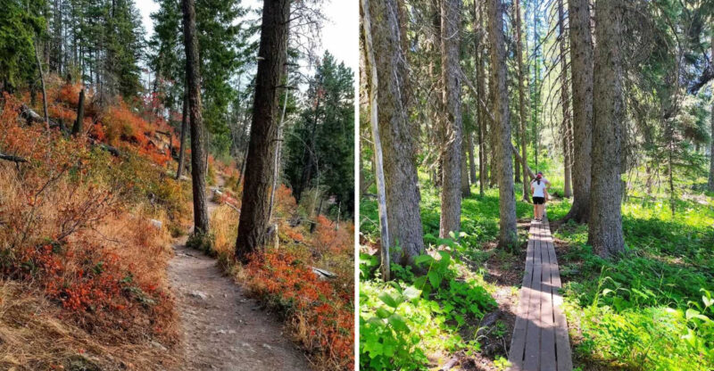
Riding through a canopy of towering pines is one of those experiences that resets your entire mood. The forested sections of this trail are genuinely breathtaking and deeply calming.
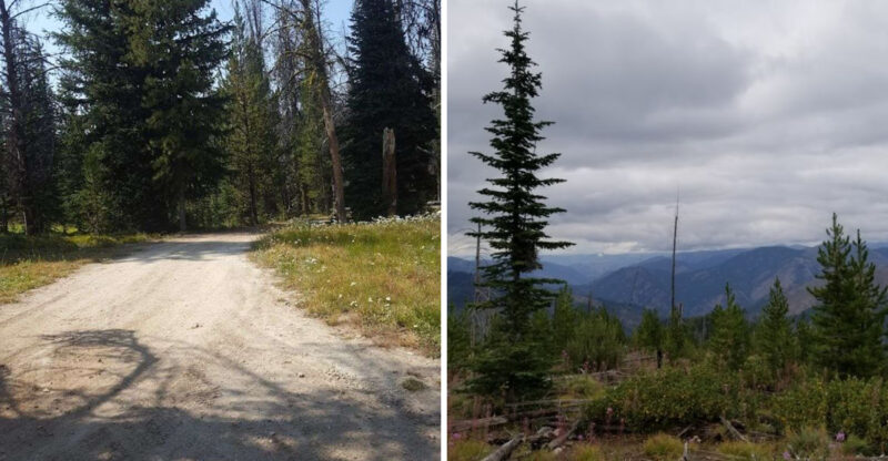
Mixed conifer forests line long stretches of the route. The trees create a natural corridor that blocks out the noise of everyday life completely.
On warm days, the shade from the pines keeps the trail cool and comfortable. It feels like nature designed its own air conditioning just for you.
The light filtering through the branches creates a soft, golden glow on the pavement. Photographers absolutely love this section for good reason.
You will notice the scent of pine and earth as you ride. That combination is something no air freshener in the world has ever come close to replicating.
The forest also provides excellent habitat for wildlife. Do not be surprised if a deer steps out just ahead of you on the trail.
These wooded miles remind you why people fall in love with outdoor adventures. There is something about riding through a pine forest that feels both ancient and totally alive.
Open Mountain Terrain With Views That Stop You Cold

Some views earn the word spectacular, and the open mountain sections of this trail deliver exactly that. Once the forest opens up, the landscape stretches out in every direction.
The eastern end near Mullan sits around 3,280 feet in elevation. That height rewards riders with sweeping views of the surrounding mountain ridges.
Standing at that elevation, the world looks impossibly wide. The sky feels bigger, the air tastes cleaner, and everything else seems far away.
The contrast between the dense forest sections and these open stretches is one of the trail’s best surprises. You never quite know what the next mile will bring.
Grassy meadows and open hillsides frame the trail in certain areas. The terrain shifts subtly but constantly, keeping your eyes busy the whole ride.
On clear days, distant peaks appear sharp and dramatic against the blue sky. It is the kind of scenery that makes you stop pedaling just to stare.
This part of the trail is also where wildlife sightings become more common. Elk and deer tend to favor these open areas, especially during early morning hours.
Lake Coeur d’Alene And The Iconic Chatcolet Bridge

Water has a way of making any trail feel more magical, and the Lake Coeur d’Alene section delivers that magic in abundance. This is the moment the trail truly becomes unforgettable.
The Chatcolet Bridge is one of the most photographed spots along the entire route. It spans across the water and offers a perspective of the lake that most visitors never get to experience.
Crossing the bridge on a bike feels genuinely thrilling. The water shimmers below, the shoreline stretches in both directions, and the mountains frame the whole scene perfectly.
Lake Coeur d’Alene is one of the most scenic parts of the route. Riding alongside it is a privilege that never gets old, no matter how many times you do it.
The trail follows the shoreline for a meaningful stretch. Every turn reveals a new angle of the water, the reeds, and the forested hills beyond.
Osprey and bald eagles are frequently spotted soaring above the lake. Watching one dive for a fish while you ride is the kind of moment that stays with you.
This section alone is worth planning an entire trip around. Bring extra snacks and plan to linger here longer than you think you will.
Wildlife Sightings That Make Every Mile A Surprise

You never quite know what is waiting around the next bend, and that is exactly what makes this trail so exciting. The wildlife activity along this route is genuinely impressive.
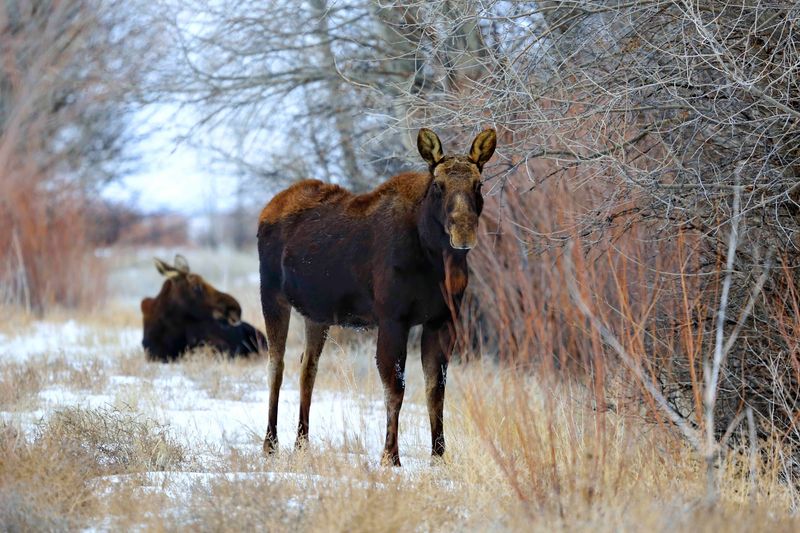
Coyotes, foxes, deer, elk, moose, and black bears have all been spotted here. That list alone should have you reaching for your camera before you even clip into your pedals.
The chain lakes region and the marshy areas near Harrison are particularly rich with bird life. Eagles and osprey patrol the skies above the water with impressive regularity.
Early morning rides give you the best chance of spotting animals. The trail is quieter then, and wildlife tends to be far more active in those golden hours.
Seeing a moose standing in a marsh at dawn is one of those moments that genuinely stops time. It is wild, beautiful, and completely free of charge.
The trail passes through several different ecosystems. That variety of habitat is exactly why so many different species call this corridor home.
Responsible wildlife viewing means keeping your distance and never feeding animals. Respecting the wildlife keeps this trail magical for every rider who comes after you.
The Chain Lakes Region And Its Quiet Beauty

Somewhere between the mountains and the valley floor, the trail enters a world that feels almost untouched. The chain lakes region is one of the quietest and most beautiful stretches of the entire route.
A series of connected lakes and wetlands lines this section of the trail. The water reflects the sky and trees in a way that looks almost painted.
Marshlands border the path here, filled with cattails and tall grasses. The sounds of frogs and red-winged blackbirds replace the crunch of gravel and the hum of distant traffic.
This area is a birdwatcher’s dream come true. Herons, ducks, and various migratory species pass through regularly, making every visit feel a little different.
The pace naturally slows down in this section. Something about the stillness of the water and the softness of the light makes it hard to rush.
It is a great place to stop, breathe, and appreciate just how much variety this trail packs into a single route. Not many trails offer mountain views and serene wetlands in the same day.
Bring a pair of binoculars if you can. You will thank yourself about ten minutes into this section.
20 Trailheads And Amenities That Make Planning Easy

Planning a long trail ride can feel overwhelming, but this route makes the logistics surprisingly simple. With 20 trailheads spread across the corridor, entry and exit points are never far away.
Each trailhead comes with its own set of amenities. Restrooms, parking areas, and informational signage are standard features at most access points.
This means you can plan a shorter day ride or tackle the full 73 miles depending on your energy and schedule. Flexibility is built right into the trail design.
Scenic waysides are scattered throughout the route as well. These are perfect spots to stop, stretch, eat a snack, and take in a view without fully committing to a long break.
Camping and overnight options are available in the broader area, so riders should check current local options before planning a stay. Spending a night under the stars here is an experience that turns a day trip into a true adventure.
The trail address is simply listed as Idaho, but the route is well-marked and easy to navigate from end to end. Coordinates 47.5386901, -116.3451211 can help you pinpoint the central corridor on any map app.
Good planning turns a great trail into a perfect day. This one practically plans itself.
The Palouse Prairie Finish That Changes Everything

Just when you think the trail has shown you everything it has, the western end pulls out one final surprise. The Palouse prairie section near Plummer is a total scene-changer.
The dense forest and mountain terrain give way to open, rolling hills. The landscape becomes wide and golden, especially in late summer when the grasses are fully grown.
Toward the western end near Plummer, the route shifts into wider prairie scenery and rolling open land. The descent from the mountains to the prairie feels both physical and almost symbolic.
The sky seems to double in size out here. Without trees blocking the horizon, the clouds and light perform their own quiet show above the trail.
The contrast between this section and the eastern mountain start is genuinely dramatic. It is hard to believe both ends belong to the same trail.
Plummer marks the western terminus, and reaching it on a bike feels like a genuine accomplishment. Even if you only ride part of the route, the Palouse stretch rewards you for every pedal stroke.
This trail does not just pass through beautiful country. It takes you through several completely different worlds, all connected by one smooth, remarkable ribbon of pavement.