This Remote California Byway Winds Past Alpine Lakes To A Mountain Pass Above 9,000 Feet
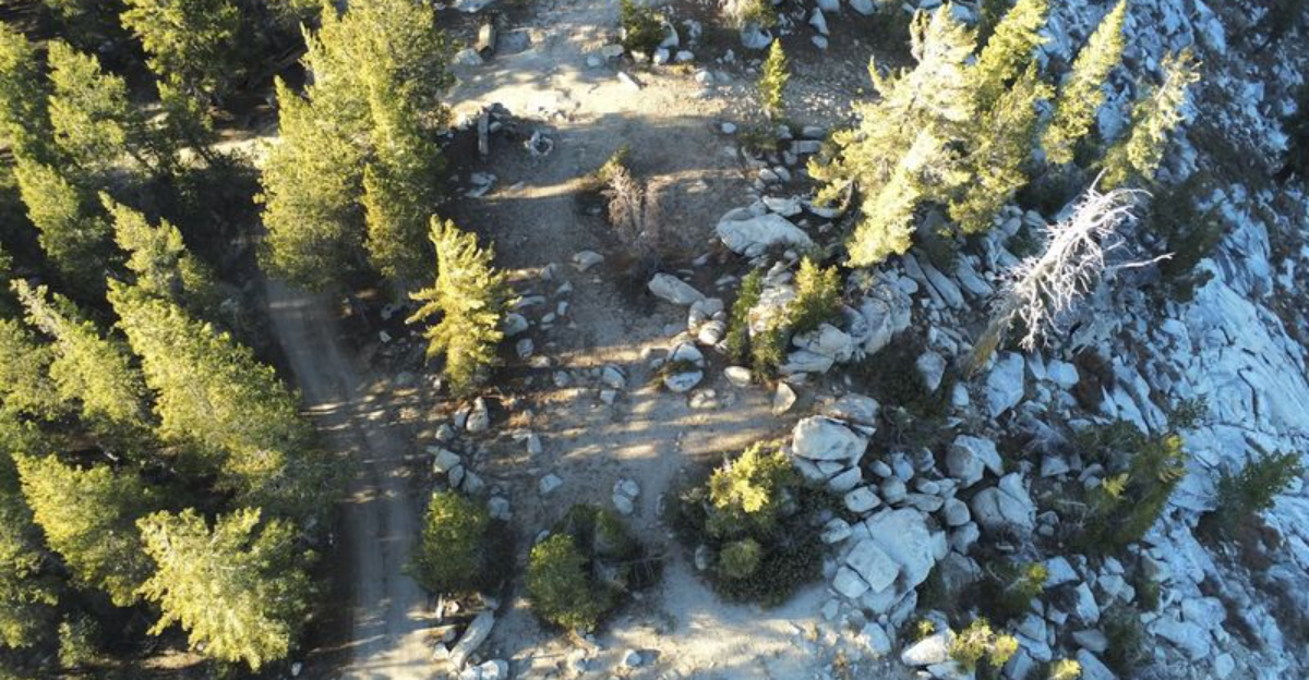
A road above 9,000 feet does not feel like a casual shortcut. It feels like a commitment.
The pavement narrows, the forest thickens, and the usual highway rhythm starts to disappear behind switchbacks and air that feels noticeably higher than it did a few miles ago.
This is the kind of drive where passengers stop scrolling because the road has become too interesting to ignore.
High in California’s Sierra country, even the lakes look like they had to earn their address.
The byway winds toward a mountain pass with the kind of scenery that makes rushing feel pointless.
Alpine water flashes through the trees. Trailheads and campgrounds hint at longer adventures. Curves keep the drive alert without turning it into a race.
It is remote enough to feel like a real escape, but scenic enough to make every slow mile feel intentional.
The Drive Starts Easy Before The Mountains Take Over
Starting a drive on Kaiser Pass Road feels almost deceivingly comfortable at first.
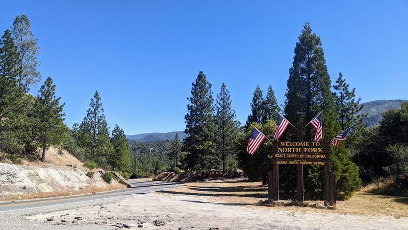
Near Huntington Lake, the road connects with the Sierra Heritage Scenic Byway, and the pavement stays wide, smooth, and manageable for the first several miles.
The broader byway stretches roughly 70 miles through varied terrain, offering a gradual ramp-up rather than an immediate challenge.
That early ease gives drivers a chance to settle in and appreciate the forest scenery before the mountains start asserting themselves.
The road begins climbing steadily, and the landscape shifts as elevation increases, with the trees thinning and the rock faces growing more prominent. It feels less like a highway and more like an invitation.
The transition from accessible byway to true high-country road happens gradually but unmistakably. By the time the pavement narrows and the curves tighten, the mountains have fully taken over the experience.
Heading toward Kaiser Pass Meadow at around 9,000 feet, the early comfort of the route gives way to something more demanding and more rewarding in equal measure.
Alpine Lakes Make The Road Feel Bigger Than A Shortcut
Water has a way of making a mountain drive feel genuinely expansive, and along Kaiser Pass Road, the lakes deliver that feeling repeatedly.
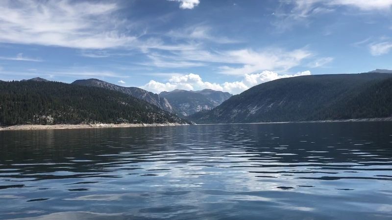
Huntington Lake, Florence Lake, and Thomas A. Edison Lake each appear at different points along the route, breaking up the forest canopy with wide-open stretches of blue and silver.
The contrast between dense timber and open water keeps the scenery from feeling monotonous.
Huntington Lake anchors the lower end of the route and draws visitors for fishing, boating, and camping.
At higher elevations, Edison Lake and Florence Lake feel more remote and less developed, which adds to their appeal for those seeking solitude.
Each lake has its own character, and the road connects them in a way that feels natural rather than forced.
Stopping at a pullout to watch light move across the surface of one of these lakes can turn a quick stretch break into a lasting memory.
The reflections of granite peaks and pine ridges in still water create scenes that feel almost too composed to be real.
These alpine lakes give the entire drive a visual identity that goes far beyond simple mountain scenery.
Kaiser Pass Brings The High-Elevation Payoff
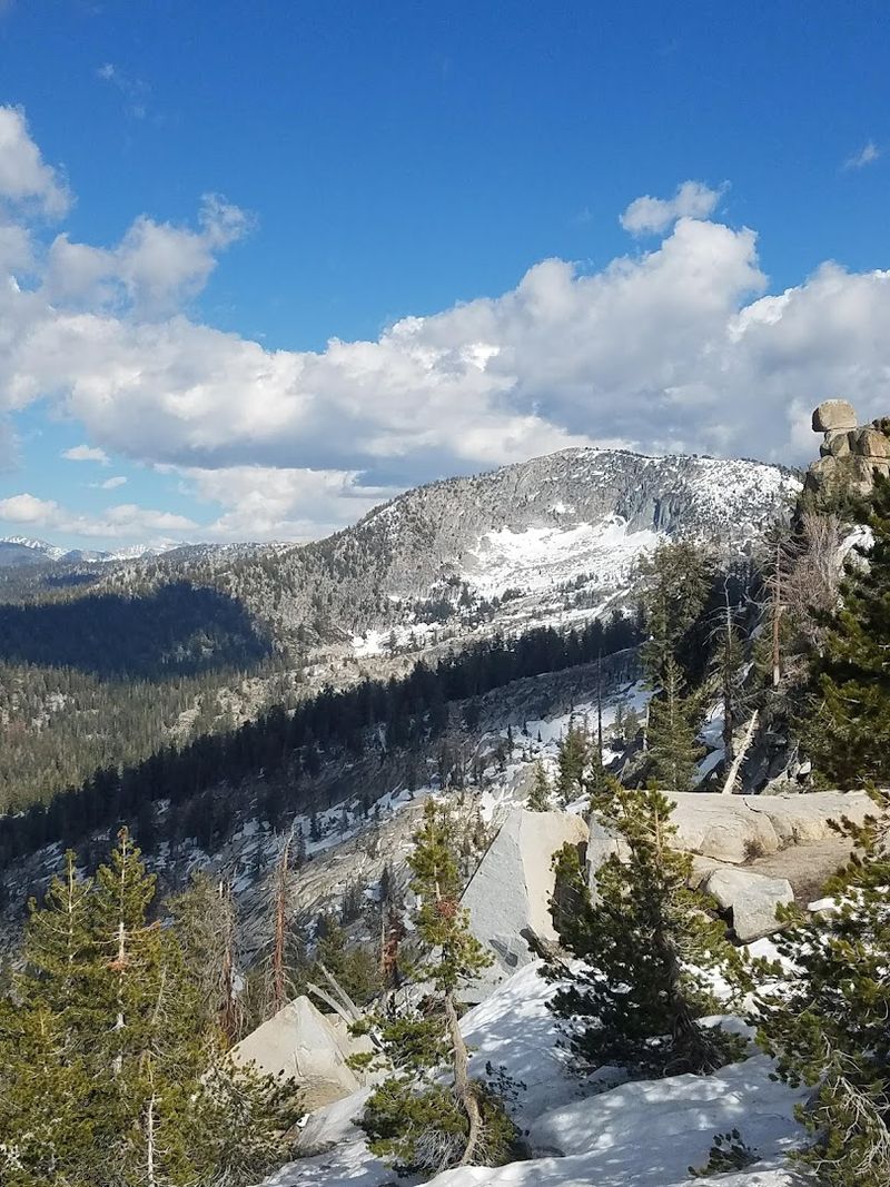
Reaching California’s Kaiser Pass feels like a reward that the road has been building toward since the very first mile.
At approximately 9,196 feet above sea level, the pass sits well above the tree line in places, offering views that stretch across ridgelines and down into deep forested valleys.
The Sierra National Forest officially notes the route climbing to Kaiser Pass Meadow at around 9,000 feet, which gives the elevation claim solid grounding.
The air up here carries a distinct crispness that feels noticeably different from lower elevations.
Vegetation becomes sparser, and the exposed granite dominates the landscape, giving everything a raw, stripped-down quality.
The sense of being genuinely high in the mountains settles in quickly and stays with visitors long after they descend.
From the pass, the scale of the surrounding wilderness becomes fully apparent. Peaks rise in multiple directions, and the feeling of distance from everyday life becomes concrete rather than abstract.
For travelers who put in the effort to navigate the narrowing road and the steady climb, Kaiser Pass delivers exactly the kind of high-elevation payoff that makes a difficult mountain drive feel entirely worthwhile.
The Road Gets Narrow Enough To Make Drivers Pay Attention
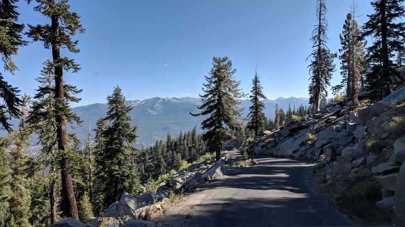
Past the first five miles or so, Kaiser Pass Road undergoes a dramatic personality shift.
The comfortable two-lane pavement gives way to a much narrower, tighter path that frequently reduces to little more than one lane.
Sharp curves limit visibility, and the shoulder often drops away steeply, leaving little margin for error.
Route descriptions and Forest Service advisories consistently warn that this section can become rough, exposed, and demanding.
Drivers in large vehicles or those towing trailers are generally advised to avoid this stretch entirely.
For standard passenger cars with alert drivers, the road remains passable but requires genuine concentration and a willingness to yield when necessary.
There are stretches where two vehicles meeting head-on must negotiate carefully, with one pulling into a wider spot to let the other pass.
That kind of interaction slows everything down but also adds a certain authenticity to the experience.
The road does not pretend to be anything other than what it is: a narrow, rugged mountain passage built for utility rather than comfort.
Florence Lake Turns The End Of The Route Into A Destination
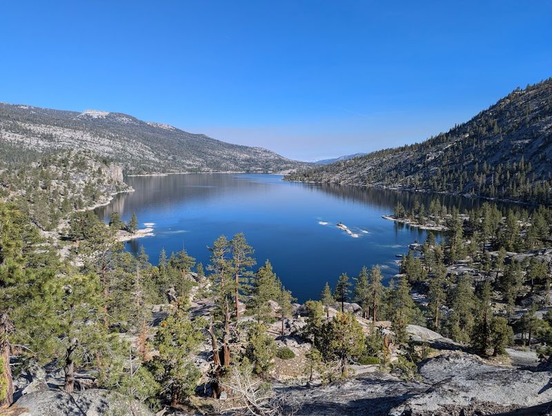
There comes a point on Kaiser Pass Road where the road seems like it should logically end, but Florence Lake keeps drawing travelers forward.
Sitting at a high elevation and ringed by granite and forest, the lake serves as a genuine destination rather than just a waypoint.
Trailheads near the lake connect to the John Muir Trail and other backcountry routes, making it a launching pad for deeper wilderness adventures.
A small ferry service operates on the lake during the open season, shuttling hikers and visitors across the water to access trails on the far shore.
That detail alone sets Florence Lake apart from many roadside stops, adding a layer of practicality and charm that feels unexpected at this altitude.
Fishing is also popular here, and the calm surface of the lake on a clear morning can feel almost meditative.
The surrounding landscape combines dense forest with open granite slabs in a way that rewards exploration on foot as much as by vehicle.
Florence Lake does not feel like a place that was designed for casual tourists.
It feels like a place that rewards the effort required to reach it, and that sense of earned arrival makes lingering there feel completely natural.
Mono Hot Springs Adds A Remote Resort Twist
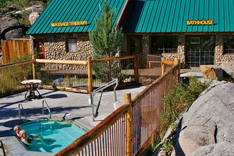
Finding a resort tucked into this level of mountain remoteness catches most travelers off guard in the best possible way.
California’s Mono Hot Springs Resort sits along Kaiser Pass Road, offering rustic cabins, natural hot mineral baths, a small cafe, and a general store within a genuinely wild setting.
The resort typically operates seasonally from late May through late October, aligning with the road’s accessible window.
The natural hot springs themselves draw visitors looking for physical relief after long hikes or a demanding drive.
Soaking in warm mineral water while surrounded by Sierra Nevada peaks creates a contrast that feels both earned and indulgent.
Massage services are also available, adding a layer of comfort that feels almost surprising given the location.
The ambiance leans strongly toward the rustic and unhurried, with tent cabins and standard cabins blending into the forest rather than standing apart from it.
Mono Hot Springs manages to feel like a throwback to an earlier era of mountain hospitality, when getaways were simpler and the surrounding wilderness did most of the work.
For travelers making the full Kaiser Pass Road journey, this stop transforms the drive from a scenic excursion into something closer to a complete high-country retreat.
Seasonal Closures Keep The Route Feeling Cut Off
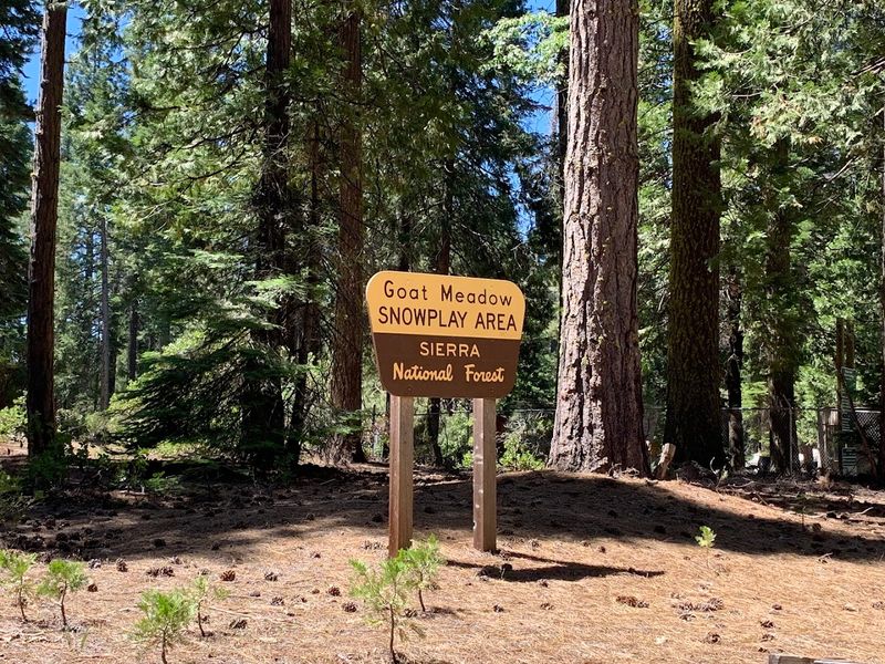
Kaiser Pass Road does not operate on a year-round schedule, and that limitation is a big part of what preserves its remote character.
Heavy Sierra Nevada snowfall typically closes the road through the winter months, with access generally restored somewhere between late May and early June depending on the snowpack.
The road usually closes again around mid-November as conditions deteriorate.
Those window dates are not guaranteed and can shift significantly from year to year.
Checking current conditions through the Forest Service before planning a trip is not just recommended but genuinely necessary.
During shoulder seasons, late spring snow or early fall ice can create hazardous stretches, and tire chains or cables may be required even during the technically open period.
The annual closure gives the high country a long rest from vehicle traffic, which likely contributes to the unspoiled quality that makes the route so appealing when it does open.
There is something clarifying about a road that simply shuts down for months at a time, refusing to accommodate visitors who did not plan ahead.
That seasonal rhythm reinforces the sense that Kaiser Pass Road exists on the mountain’s terms rather than the traveler’s, and respecting that reality is part of experiencing it properly.
Planning Ahead Makes The Difference Between A Great Trip And A Frustrating One
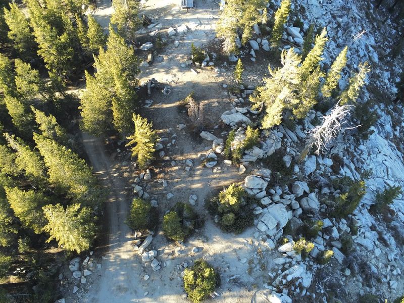
Heading into Kaiser Pass Road without preparation can turn an exciting adventure into a stressful situation fairly quickly.
The road’s remoteness means that cell service is unreliable or nonexistent for much of the route, so downloading offline maps before departure is a practical necessity.
Fuel should be topped off before leaving the Fresno or Clovis area, since gas stations become scarce well before the road begins its serious climbing.
Carrying extra water, food, and a basic emergency kit is standard advice for any remote mountain drive, and this route reinforces that guidance.
The nearest towns with substantial services sit a significant distance from the upper sections of the road.
If something goes wrong at elevation, self-sufficiency matters considerably more than on a road with frequent exits and nearby infrastructure.
Starting early in the day also pays off in multiple ways on this route. Morning light on the alpine lakes tends to be cleaner and more vivid than afternoon glare.
Early starts also reduce the chance of encountering afternoon thunderstorms, which can develop quickly over the Sierra Nevada during summer months.
A thoughtful approach to logistics does not diminish the spontaneity of the experience; it simply ensures that the experience stays enjoyable from the first mile to the last.
The Surrounding Wilderness Areas Extend The Experience Beyond The Road
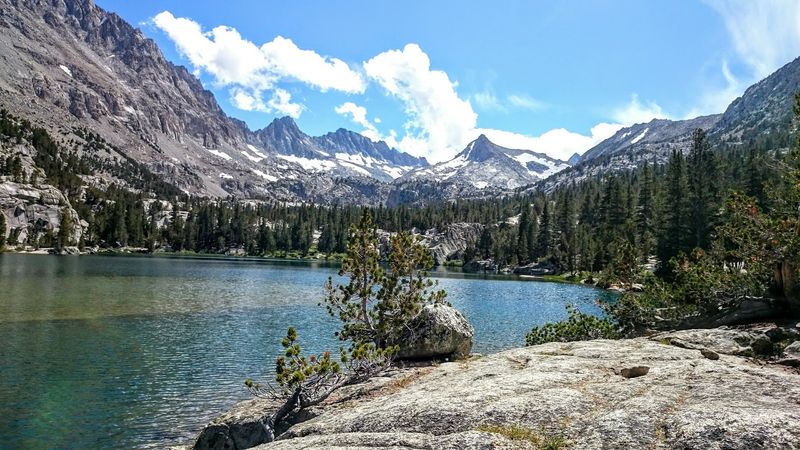
Kaiser Pass Road does not exist in isolation; it runs through and beside some of the most protected wilderness terrain in the Sierra Nevada.
Kaiser Wilderness, John Muir Wilderness, and Ansel Adams Wilderness all border or overlap with the route’s corridor, and their presence shapes the character of everything visible from the road.
The designation of these areas as wilderness means development is strictly limited, keeping the landscape intact and largely undisturbed.
Trailheads along the route provide direct access to these protected zones, inviting travelers to step off the pavement and into terrain that changes dramatically with just a short walk.
Day hikes from Florence Lake or Edison Lake can lead into high basins, past smaller unnamed lakes, and up to ridgelines with views that extend for miles in every direction.
The transition from road traveler to trail hiker happens quickly and feels completely natural in this setting.
Even visitors who stay in their vehicles benefit from the proximity of these wilderness areas, since the protected land ensures that the scenery along the road remains unspoiled.
No billboards, no large commercial developments, and no sprawl interrupt the view.
The wilderness designations essentially function as a permanent guarantee that the landscape visible from Kaiser Pass Road will remain worth looking at for generations to come.