This 22-Mile North Carolina Bike Trail Follows An Old Railroad Through Three Counties And Several Communities
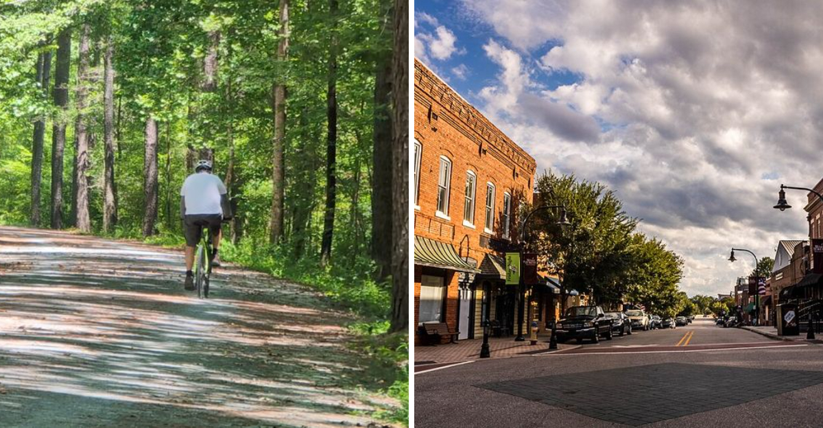
I have always thought the best trails do more than get me from one place to another. They carry a story beneath every step.
That is exactly what makes this North Carolina greenway so memorable. More than 22 miles follow the route of an old railroad once tied to the tobacco industry.
Today, the same corridor feels completely different.
I can bike it, run it, or slow down and walk without worrying about reaching the end. The trail moves through three counties and shifts from urban energy to quieter stretches as the miles pass.
History never feels trapped in the past here. It stays woven into the route, linking communities that once grew around the railroad.
What I love most is the sense of movement. Downtown streets gradually give way to trees, open space, and a calmer rhythm.
Every section feels like part of a larger journey.
For me, that is what makes a trail worth returning to. The scenery matters, but the story is what keeps the miles interesting.
Ride A Rail Trail With Real Tobacco-Era History
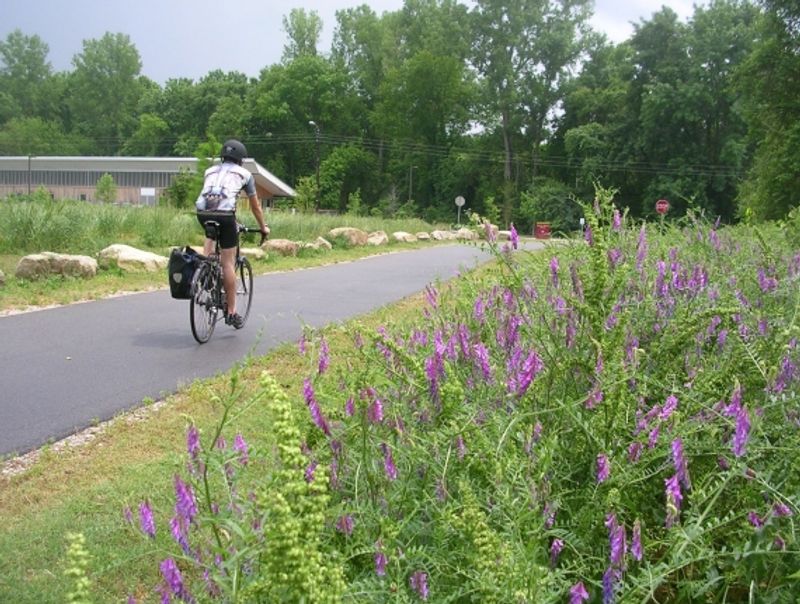
Long before the corridor became a recreational trail, trains carried tobacco and other products between communities in Durham, Chatham, and Wake counties and industrial facilities in downtown Durham.
The route was originally developed as the New Hope Valley Railroad and later became part of the Durham and South Carolina Railroad before eventually operating within the Norfolk Southern system.
Rail service ended in the 1970s, and preservation advocates began working during the late 1980s to prevent the abandoned corridor from being divided or lost. Those efforts led to the creation of the American Tobacco Trail, which now uses more than 22 miles of the former rail alignment.
The history matters, but it does not need to be romanticized. Tobacco manufacturing shaped Durham’s economy while also carrying serious public-health consequences, so the trail is better presented as an example of adaptive reuse than as a celebration of the industry itself.
Its long straightaways and generally gradual grades reflect the practical needs of the trains that once traveled here.
Riders and walkers now benefit from that engineering through a route that avoids the repeated steep climbs found on many natural-surface paths.
Interpretive material varies along the trail, so visitors interested in the complete railroad story may want to read the official history before arriving.
Let Downtown Durham Give The Route A Strong Opening
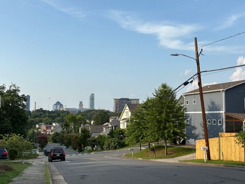
The northern end of the American Tobacco Trail begins near Morehead Avenue and Blackwell Street, placing visitors close to downtown Durham and the redeveloped American Tobacco Campus.
This section gives the route a distinctly urban opening, with brick buildings, street crossings, nearby businesses, and connections to surrounding neighborhoods.
The experience gradually becomes greener as the path continues south, but riders and walkers should not expect to leave city activity behind immediately.
Intersections require attention, and anyone cycling should slow down where the trail crosses streets or passes areas with heavier pedestrian use.
A paved surface makes the northern miles suitable for many cyclists, runners, casual walkers, wheelchair users, and families with strollers. Temporary construction, maintenance, and the chosen access point may still affect individual accessibility.
Downtown parking is available in the wider area, but spaces immediately beside the northern terminus may be limited or governed by separate city and private-property rules.
Checking a current parking map is safer than assuming a particular lot is available for trail users. Nearby restaurants and attractions make this a convenient starting area, yet food and commercial services become less frequent farther south.
Carrying water from the beginning is especially important during hot or humid weather, even for visitors planning only a short out-and-back trip.
Cross Three Counties Without Leaving The Greenway
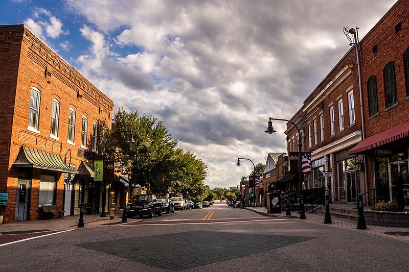
Crossing three counties is one of the defining features of the American Tobacco Trail, although the transition is not marked by dramatic scenery or a single ceremonial boundary.
The route begins in the City of Durham, continues through southern Durham County and Chatham County, and reaches its southern end near New Hill-Olive Chapel Road in western Wake County.
It also passes through areas connected with the planning jurisdictions of Cary and Apex and crosses land associated with the U.S. Army Corps of Engineers’ Jordan Lake project.
Different governments and agencies manage individual portions, which means surfaces, signs, permitted activities, parking arrangements, and maintenance practices are not identical along the entire corridor. Visitors should not assume that one county’s posted rules apply everywhere.
Chatham County’s section is especially notable for accommodating several kinds of users, while portions of the southern trail allow equestrian use in addition to walking and cycling.
Maps and mile markers help travelers estimate distance, but bringing a current digital or printed map remains useful when choosing a turnaround point or finding an access area.
The full route is continuous, yet completing it in both directions can exceed 44 miles. Anyone without transportation arranged at the opposite end should calculate the return distance before committing to a long one-way ride.
Watch The Scenery Shift From Urban To Wooded
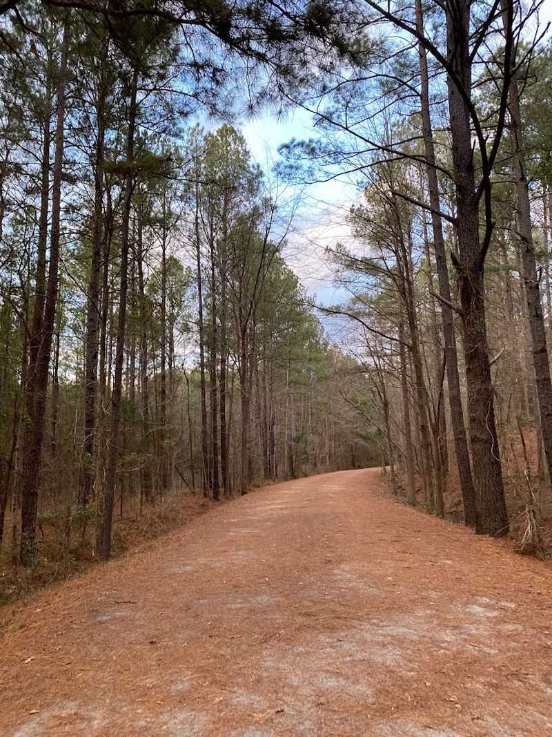
The scenery along the American Tobacco Trail changes gradually as the route leaves central Durham. Urban buildings and frequent street crossings give way to residential areas, wooded corridors, streams, wetlands, and longer sections with fewer nearby businesses.
Trees provide shade in many places, but the canopy is not continuous, and exposed portions can become uncomfortable during the hottest part of a summer day. Wildlife may appear in quieter stretches, although no specific animal sighting is guaranteed.
Birds, turtles, deer, and other species occur throughout the region, but responsible trail writing should avoid presenting the path as a dependable wildlife-viewing tour.
Visitors are more likely to notice changes in vegetation, water levels, bird activity, and seasonal color when they slow down and remain aware of their surroundings.
Spring can bring flowering plants and wet conditions, while fallen leaves may cover the surface during autumn. Rain can also affect the softer southern portions differently from the paved sections in Durham.
Staying on the established trail protects nearby habitat and reduces contact with poison ivy, ticks, uneven ground, and sensitive wetland edges. Dogs should remain leashed where required, and owners should remove all waste.
The changing landscape is engaging enough without claiming that every mile contains a major discovery; its appeal comes from the steady transition between city and countryside.
Use The Old Railroad Bridges As Built-In Milestones
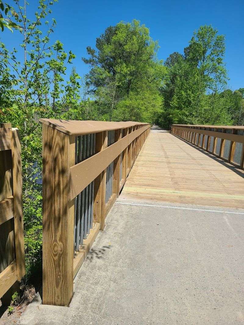
One of the route’s most important structures carries the American Tobacco Trail across Interstate 40. The bridge opened in 2014 and closed a major gap that had previously prevented users from following the trail continuously through this part of Durham.
Its purpose is practical rather than historic: it separates walkers and cyclists from high-speed interstate traffic and connects trail sections on opposite sides of the highway.
From the bridge, visitors can briefly see the traffic moving below, but stopping should not block the path or create conflicts with faster users.
Several other bridges and boardwalk-like structures carry the trail over roads, streams, drainage areas, and low ground along the former railroad alignment.
Not every bridge dates from the railroad era, so describing all of them as original railroad structures would be inaccurate.
The corridor has been modified repeatedly to meet modern safety, drainage, and accessibility needs. These crossings still provide useful milestones during a longer trip, helping riders estimate progress and divide the route into manageable sections.
Wet surfaces, fallen leaves, frost, or debris can make bridge decks slippery, particularly early in the morning or after storms.
Cyclists should control their speed, announce passes clearly, and leave enough room for pedestrians and riders approaching from the opposite direction.
The structures make the trail more continuous, but ordinary shared-path courtesy remains necessary at every crossing.
Pick A Short Segment Instead Of Tackling All 22 Miles
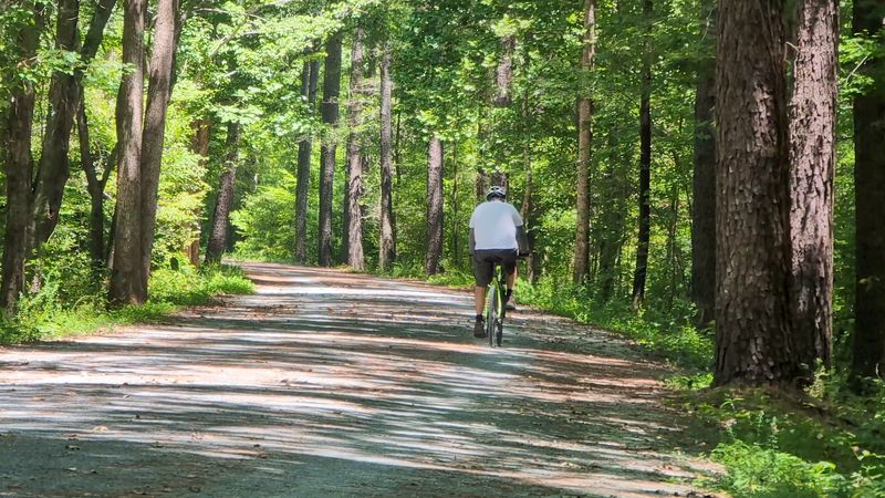
The American Tobacco Trail does not need to be completed in one outing. Multiple trailheads and access points allow visitors to choose a distance that matches their available time, experience, and comfort level.
A short walk near downtown Durham offers a paved urban experience, while southern access areas provide quicker entry to quieter sections with compacted stone or other softer surfaces.
An out-and-back route is usually the simplest option because it returns visitors to the same vehicle, but the total distance doubles quickly.
A five-mile ride away from the trailhead becomes a 10-mile trip once the return is included. Families and first-time visitors may prefer to select a turnaround landmark before starting rather than making that decision after becoming tired.
Parking lots differ in size and available facilities, and not every access point has restrooms, drinking water, or bicycle-repair equipment. Vehicles should be parked only in designated public spaces without blocking gates or nearby roads.
The published trail maps identify major trailheads, crossings, surfaces, and nearby connections, making them more dependable than informal directions copied from older travel articles.
Visitors should also check for temporary closures, construction, storm damage, or maintenance notices.
Exploring the trail gradually over several visits can reveal its different settings without turning a recreational outing into an unnecessarily demanding endurance challenge.
Bring Bikes, Running Shoes, Or A Slow-Walk Plan
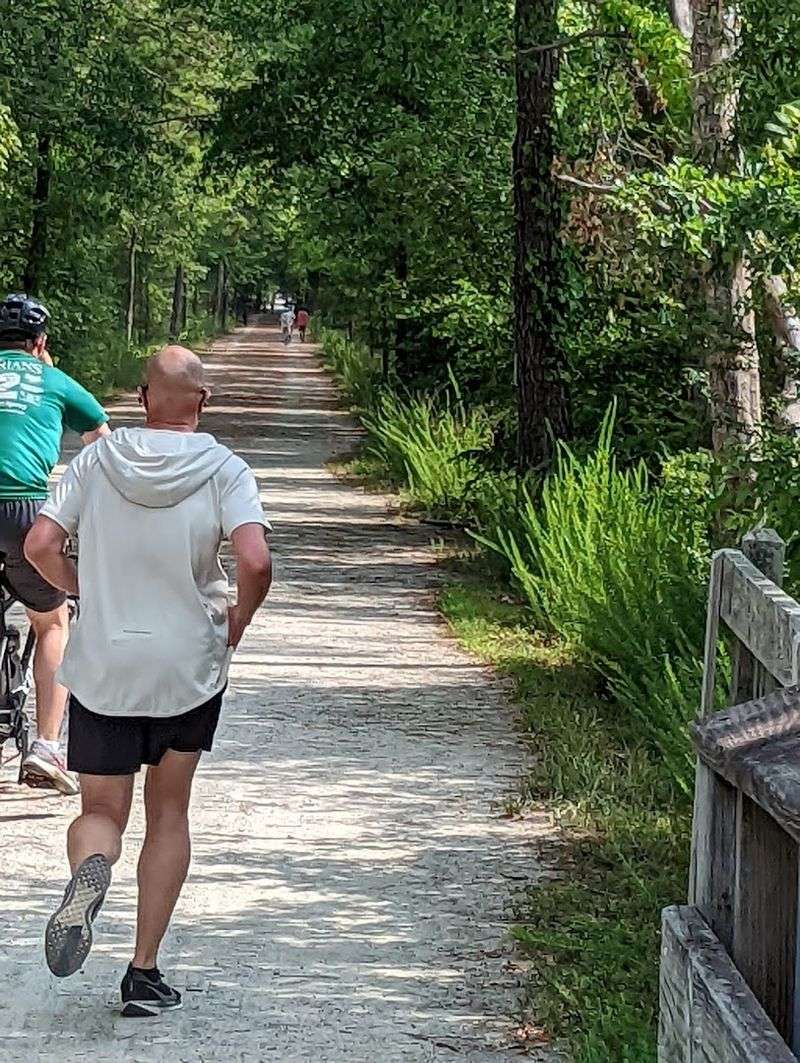
Walking, running, and cycling are common throughout the American Tobacco Trail, while horseback riding is permitted only in designated portions. The surface changes along the route, so the bicycle or footwear that feels comfortable in downtown Durham may not perform the same way farther south.
Much of the Durham section is paved, making it suitable for road bicycles, hybrid bicycles, mobility devices, strollers, and everyday walking.
Chatham and Wake sections include compacted screenings and other softer surfaces, and some areas provide space intended to reduce conflict between equestrians and faster trail users.
Conditions on unpaved portions can become softer, dusty, rutted, or uneven depending on recent weather and maintenance. Narrow road-bike tires may feel less secure there than hybrid, gravel, or mountain-bike tires.
Horse riders should use only approved sections and follow posted rules, while cyclists should slow down when approaching horses and wait for guidance before passing.
Pedestrians have different speeds and may travel in groups, so audible warnings and controlled passing matter even on wide sections.
Motorized recreational vehicles are not part of the trail’s intended use, although mobility devices are governed by applicable accessibility rules.
Choosing the right section for the planned activity produces a better experience than assuming the entire 22-mile corridor has one uniform surface or design.
Follow The Trail Toward Apex For A Quieter Finish
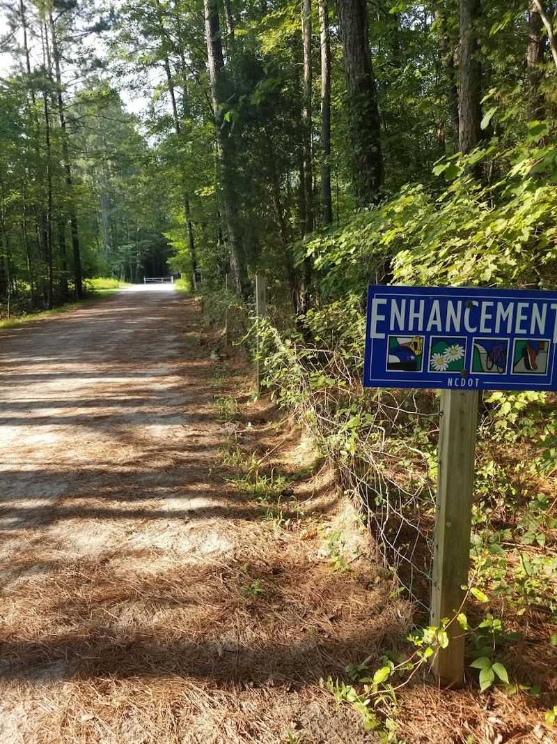
The southern end of the American Tobacco Trail reaches New Hill-Olive Chapel Road in western Wake County, near the communities of New Hill and Apex.
This portion generally feels more rural than the northern miles, with wooded stretches, fewer commercial destinations, and a softer trail surface.
It should not be described as ending in downtown Apex because the terminus lies outside the town’s central business district. Visitors beginning here can access the trail without first traveling through Durham, making the southern end useful for shorter walks, runs, horseback rides, or bicycle outings.
The quieter surroundings do not eliminate practical concerns. Services remain limited, phone reception may vary, and compacted screenings can respond differently to heavy rain than the paved trail farther north.
Riders should bring water, a basic repair kit, and a plan for returning to their starting point. Anyone completing the entire route from Durham must remember that arrival at New Hill does not automatically provide transportation back north.
A return ride, arranged pickup, or carefully planned shuttle is necessary. The southern terminus provides a calm conclusion to the full trail, but its strongest appeal comes from the landscape rather than a collection of major attractions.
It demonstrates how a former industrial transportation corridor can connect an urban center with increasingly quiet parts of the Triangle while continuing to serve nearby communities.
This peaceful stretch offers a distinctly rural side of North Carolina that contrasts sharply with the trail’s busier urban miles.