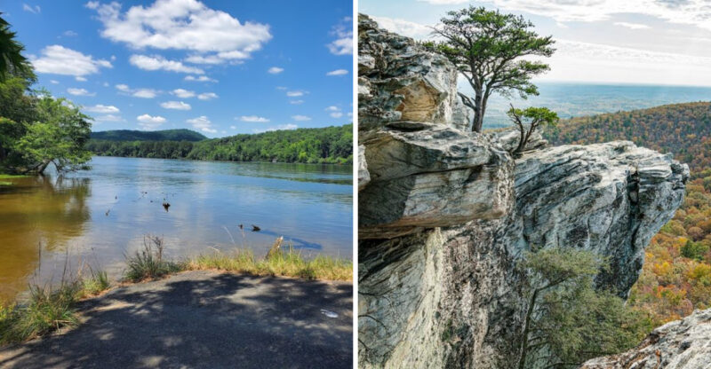
Visitors Say This Part Of North Carolina Feels Surprisingly Like The Scottish Highlands
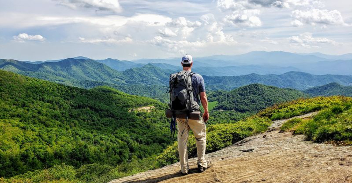
The first reaction is usually some version of, “Wait, this is North Carolina?”
High above the surrounding valleys, the landscape opens into broad grassy ridges that seem to roll forever. Clouds move fast across the slopes, fog slips in without warning, and the whole scene can feel surprisingly far removed from the Southeast.
There is something almost unreal about walking through it.
The mountains feel softer here. The horizon stretches wider.
Even the silence has more room to breathe.
Visitors often compare the scenery to the Scottish Highlands, and it is easy to understand why once the trail climbs high enough. The resemblance is not exact, but the mood can be striking.
You do have to earn the best views with a little walking.
That only makes the moment better when the ridge finally opens up and the landscape suddenly looks much bigger than expected.
Walk Across Grassy Balds That Feel Far From The Rest Of The State
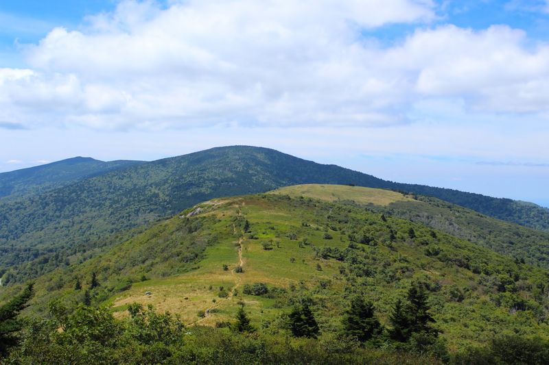
Stepping onto Round Bald changes the character of the hike almost immediately. Instead of spending the entire route beneath trees, you move through broad high-elevation grasslands with views opening across multiple layers of mountains.
The Appalachian Trail Conservancy describes these balds as fragile open fields and asks hikers to remain on the established path rather than creating shortcuts through the vegetation. Round Bald comes first, about 0.7 mile from Carvers Gap, followed by Engine Gap and Jane Bald.
A side trail continues toward Grassy Ridge Bald, which reaches 6,189 feet and provides one of the broadest viewpoints in the area.
They are rare Southern Appalachian grassy balds that require continued management to prevent shrubs and trees from gradually taking over.
The surrounding Roan landscape also supports uncommon plants and valuable bird habitat, giving hikers another reason to stay on the trail.
Give yourself enough time to stop often because the views change constantly as you move from one bald to the next.
Let The Long Mountain Views Decide How Far You Want To Hike
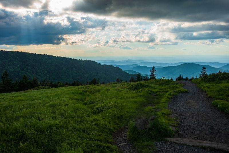
You do not need to commit to an all-day route to understand why this section has become so popular.
Round Bald offers a rewarding turnaround point after a relatively short climb from Carvers Gap. Continuing to Jane Bald extends the Appalachian Trail Conservancy’s suggested day hike to roughly 2.6 miles round trip.
Stronger hikers can continue farther toward Grassy Ridge for an even wider panorama, although that adds distance and climbing.
The trail repeatedly moves between open grassland and short sections of spruce-fir forest, so the scenery changes quickly despite the modest mileage.
Clear weather can reveal ridge after ridge across North Carolina and Tennessee, but distant peaks are not guaranteed to remain visible when haze or clouds settle over the mountains.
Families and casual walkers should also avoid assuming that every section is easy simply because the first bald is close to the parking lot.
Elevation, wind, uneven ground, and rapidly changing weather can make the return trip feel different from the walk out. Choose a turnaround point based on conditions and energy rather than feeling obligated to reach every named summit.
Catch The Highlands When Fog Rolls Across The Ridgeline
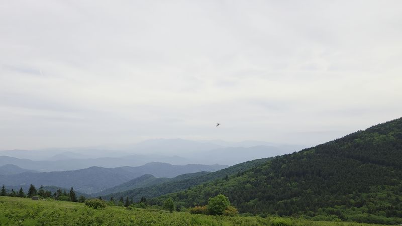
Clouds can transform the open ridges surprisingly quickly. A broad view may disappear behind mist, then return minutes later as wind pushes the cloud layer across the state line.
That shifting weather is part of the high-elevation experience, but there is no dependable June-through-September “fog season” that guarantees the effect. Fog, low clouds, wind, and sudden changes in visibility can occur throughout the year.
When mist does settle over Round Bald or Jane Bald, familiar mountain shapes soften and the open grasslands take on a quieter appearance without needing an exaggerated supernatural description.
Visibility can also drop enough to make navigation and footing more difficult, especially once you leave the busier section near Carvers Gap.
Keep track of the white Appalachian Trail blazes, stay on the established route, and turn around when weather begins making the hike uncomfortable.
A photograph is never worth walking onto fragile vegetation simply to find a clearer angle.
The open landscape already provides plenty of viewpoints directly from the trail, and clouds moving through the ridges often make those same spots look completely different within a matter of minutes.
Follow The Appalachian Trail Through Wide Open Scenery
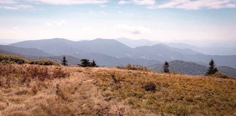
White blazes lead directly out of Carvers Gap and across some of the Appalachian Trail’s best-known Southern grassy balds. The full A.T. measures 2,197.9 miles in 2026, correcting the outdated 2,190-mile figure in the original article.
You do not need to tackle anything close to that distance here. A 2.6-mile out-and-back reaches Round Bald and Jane Bald, while longer hikers can continue toward Grassy Ridge, Stan Murray Shelter, Hump Mountain, or U.S. 19E with proper planning.
The original claim that the Roan Highlands form one defined 50-mile section is too broad, and saying hikers remain above the treeline for extended distances is also inaccurate.
The landscape alternates between grassy balds, forest, gaps, and exposed ridges.
Carvers Gap remains open for Appalachian Trail access, though its parking lot is small and often fills quickly. Additional trailheads exist at Hughes Gap, Yellow Mountain Gap, and U.S. 19E for people planning longer routes.
For a first visit, the shorter walk toward Round and Jane balds gives you the signature scenery without turning the day into a complicated shuttle hike.
Visit When Wildflowers Turn The Slopes Into A Summer Show
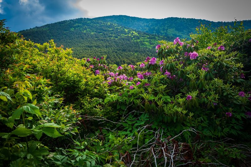
June brings some of the region’s most anticipated color, but the display is more varied than one enormous blanket of flowers covering every bald.
Flame azaleas appear around Engine Gap and other sections of the highlands, while Catawba rhododendrons create their best-known show around Roan Mountain’s rhododendron gardens on the Tennessee side of the state line.
Peak timing changes with elevation and weather, so mid-to-late June is a useful general window rather than a guaranteed bloom date.
Other native wildflowers emerge throughout spring and summer, and the open grasslands support rare plant communities that should be admired from the trail rather than approached for close photographs.
Bakersville celebrates the wider landscape with the annual North Carolina Rhododendron Festival; the 2026 event took place June 19 and 20 downtown. Carvers Gap remains the easiest North Carolina approach to the balds, reached along NC 261 from Bakersville.
During peak bloom weekends, however, parking demand can greatly exceed capacity. A weekday or early arrival gives you a better chance of finding a legal space without adding to congestion along the narrow mountain road.
Bring A Layer Because The Weather Can Change Fast Up Here
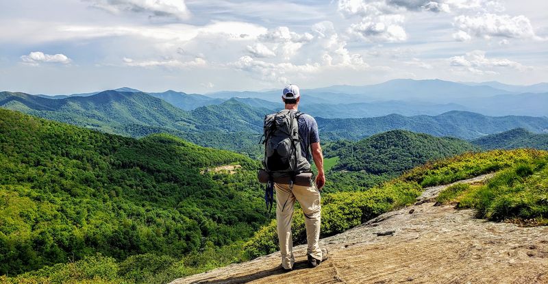
Elevation and exposure make preparation more important here than the relatively short distance from the parking lot might suggest. Carvers Gap sits around 5,500 feet, and the trail soon climbs higher as it crosses the balds.
Trees provide little protection across the open sections, leaving hikers exposed to wind, strong sun, rain, and rapidly shifting clouds.
Conditions can feel noticeably different from Bakersville or other communities lower in the valley, so carrying an extra layer makes sense even when the drive begins in warm sunshine.
A lightweight rain shell, water, sun protection, and dependable footwear cover most ordinary day-hiking needs. Winter requires considerably more caution because snow, ice, wind, and limited road or parking conditions can change the character of the route entirely.
The grassy balds are beautiful in cold weather, but they should not be treated as an effortless winter walk simply because the trail begins close to a paved highway.
Check current conditions before leaving home and be prepared to turn around when visibility, footing, or temperatures stop making the outing enjoyable.
You Can Make The Drive Part Of The Experience
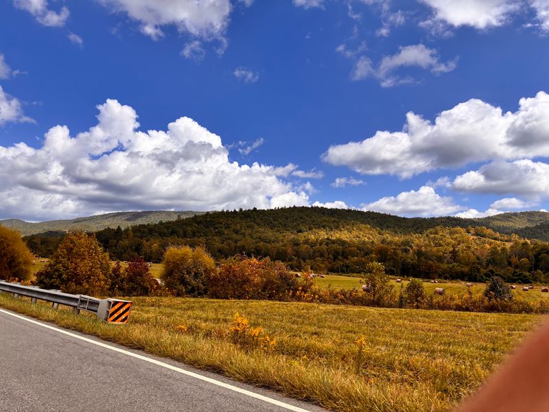
The climb toward Carvers Gap is part of an official North Carolina Scenic Byway rather than simply a road to the trailhead.
Highlands of the Roan Byway runs through Mitchell and Yancey counties, passing small farms, mountain communities, craft traditions, and high ridges before reaching the Roan landscape.
NC 261 forms the final approach from Bakersville toward the Tennessee line, steadily gaining elevation as the road leaves town and winds into Pisgah National Forest.
Rather than using the unsupported 12.8-mile figure from the original article, it is more accurate to note that Carvers Gap sits about 14 miles north of Bakersville and that the complete designated scenic byway covers a longer route through the surrounding counties.
Sharp curves and changing mountain weather make this a drive to take patiently rather than one that encourages frequent roadside stops. Use established pull-offs and parking areas when you want to look around instead of stopping along narrow shoulders.
NCDOT continues to list Highlands of the Roan among Western North Carolina’s scenic byways and recommends checking current road conditions before setting out.
Stay Until The Light Starts Changing Across The Mountains
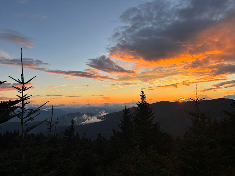
Late afternoon can be especially rewarding because lower light brings more definition to the ridges and can turn the open grasslands warmer in tone.
Round Bald is an easier choice for enjoying those changing conditions than chasing an uncertain overlook, and the original reference to a nearby “Raven Rock Overlook” should not be treated as part of the standard Roan Highlands visit.
From the Appalachian Trail itself, hikers already have broad views east and west as the path crosses the open balds. Sunrise can be equally striking, but both early and late outings require more preparation than a midday walk.
Carry a headlamp if there is any chance you will return after sunset, know your route before the light fades, and remember that temperatures and wind can change quickly once the sun drops.
Carvers Gap parking is available year-round when spaces are open, while the nearby Roan Mountain Day Use Area operates seasonally and has separate access hours.
Autumn brings another dramatic change as surrounding forests take on fall color while the exposed grasslands shift toward warmer shades.
Staying a little later can be worthwhile, but the best view is still the one you can enjoy without rushing the hike back to your car.