These 9 North Carolina Hikes Have Forgotten Mills Estates And Crumbling Ruins Hiding Along The Trail
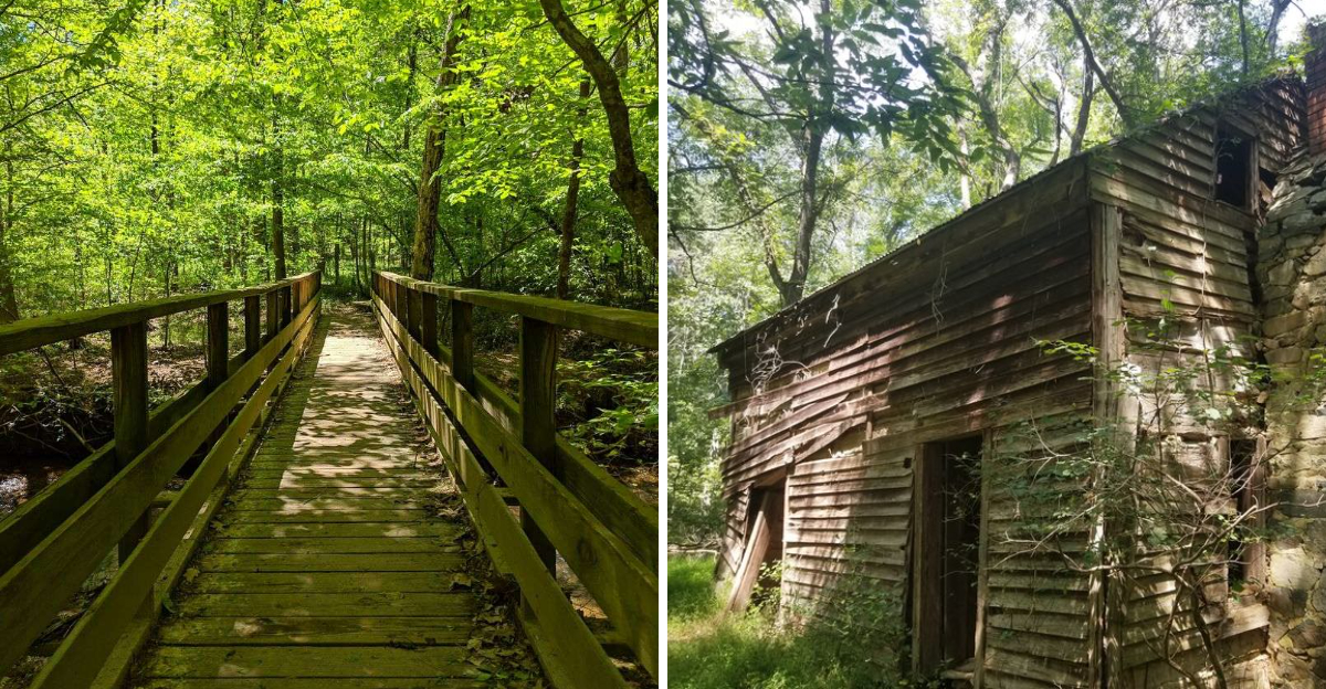
Suppose the hike goes completely off-script.
Not because the trail disappears, but because a stone wall suddenly shows up where no wall should be. Then a foundation emerges through the leaves and the afternoon starts feeling more archaeological than recreational.
That is the fun of these North Carolina trails.
The forest has been slowly reclaiming old mills and abandoned structures for generations, which gives every discovery a strange half-hidden quality. Nothing arrives with flashing signs or dramatic fanfare.
You notice a shape. You stop. Then the questions begin.
Who built this? Why here? How much of it is still buried nearby?
Before long, the hike turns into a scavenger hunt with history doing the hiding.
The mileage still matters, but curiosity starts setting the pace.
These are the trails where getting distracted is actually the correct way to explore.
1. Rattlesnake Lodge Trail, Near Asheville
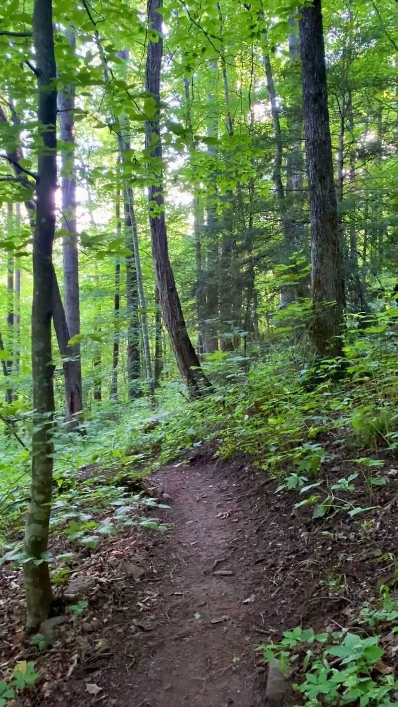
Stacked stone walls rise from the leaf litter well up the Mountains-to-Sea Trail, and they are the first clue that something large once stood on this ridge. Dr. Chase P.
Ambler built his family summer estate here between 1903 and 1904, and fire claimed the main lodge in 1926.
What remains reads like a floor plan drawn in rock. You can trace outlines of the barn, the tool house, the spring house, the caretaker cabins, and the shallow basin that once held a swimming pool.
A length of original terra cotta pipe from the estate’s water system still rests near the path.
The climb gains steady elevation through hardwoods, so sturdy shoes help on the rooty stretches. Cool air pools in the hollows even in midsummer, and birdsong carries easily between the tall trunks.
Curious about the name? Builders reportedly turned up a rattlesnake nest while clearing the site, and the title stuck for good.
Pack water for the ascent, and give yourself extra time to poke around the foundations. Photographers often find the low walls most striking in soft, overcast light.
2. Boone Greenway Trail, Boone
Long before power lines threaded the high country, a modest stone generating station beside the South Fork of the New River lit up Appalachian Training School, now Appalachian State University, plus six nearby homes. It ran from 1915 until 1924.
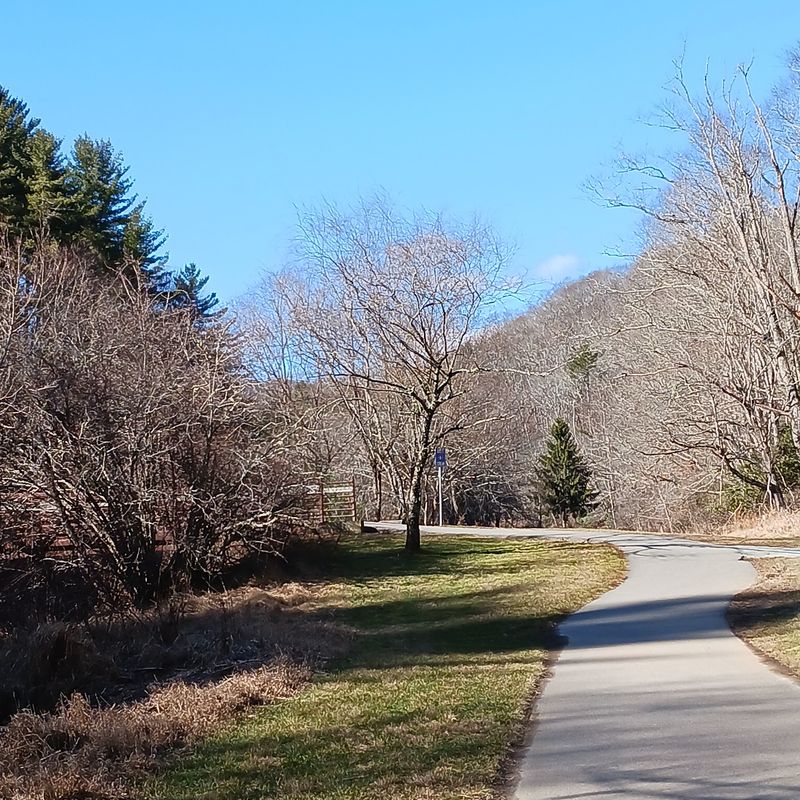
The ruins sit in a shady, wooded stretch of the greenway, and the original wooden dam remains visible in the water. Sunlight flickers across the current, and the sound of moving water follows you for most of the walk.
Pavement and packed gravel share the route, which makes it one of the friendliest history strolls in western North Carolina for strollers, young children, and anyone who prefers level ground. Benches turn up at easy intervals.
Morning suits the trip well, when mist lifts off the river and the old stonework looks dark and damp. Bring a snack and a field guide if you like, since wildflowers crowd the banks in late spring.
The flat riverside setting also makes it simple to combine the outing with a short visit to shops in town afterward.
3. Johnston Mill Nature Preserve Trails, Chapel Hill

Winter turns out to be prime ruin-spotting season at this 296-acre preserve, when bare branches open views that summer greenery hides. Roughly 3.5 miles of trails thread a Piedmont hardwood forest crossed by New Hope Creek.
The Johnston family ran two gristmills along the water in the early 1700s, and pieces of their stonework still sit near the banks. Look also for crumbling chimneys and low foundations, quiet evidence of homes that once stood in these woods.
Footbridges carry the trails over the creek, and the water runs clear enough to watch minnows dart between stones. Beech leaves rattle overhead in cold weather, pale and papery.
Trail junctions are signed, though a downloaded map helps since several loops connect. Wear shoes you do not mind muddying after rain, because low ground near the creek holds moisture.
Parking is limited at the small lots, so arriving early on weekends saves a wait. Chapel Hill sits only minutes away, which makes this an easy morning outing before lunch in town.
Leashed dogs are welcome.
4. McAlpine Creek Greenway, Charlotte
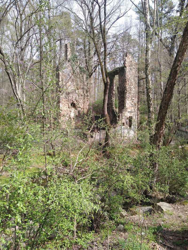
A stone shell rising out of thick greenery catches most walkers by surprise. The Lucas Family Grist Mill once ground corn and supplied power to the Lucas family home, with some sources crediting Charles Lucas with building it in 1935.
Fire in the 1970s ended its working life, yet the foundation and tall walls still stand along Campbell Creek Greenway, which links directly to McAlpine Creek Greenway. Vines climb the masonry, and ivy softens the corners until the ruin nearly disappears into the woods.
Paved paths make the greenway an easy choice for family walks, bikes, or a quick after-work loop. Ballfields, picnic tables, and a pond sit near the corridor, so the outing can stretch into an afternoon.
There is history in the trail itself: first built in 1978, it stands as the western Piedmont’s earliest public greenway. Slow down at the bridges, where turtles often line the fallen logs.
Summer growth can hide the ruins almost completely, so a visit between November and March gives the clearest look at the stonework.
5. Pharr Yarns Family Trail, McAdenville
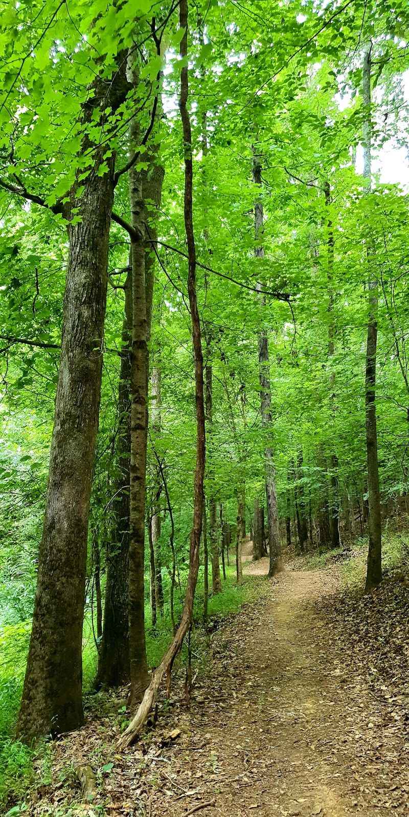
Textile history shaped nearly every foot of ground along this riverside route beside the South Fork of the Catawba River. Old mill sites and sturdy stone bridge pillars still mark where the industry stood.
McAdenville took its name in 1883 from McAden Mills, a link the town has never shed. Among the mills that once worked this stretch were the Ferguson Mill and the Pinhook Mill, which opened in 1852 and produced cloth for the Confederacy during the Civil War.
Walking here mixes river sounds with brick-and-stone reminders of hard, steady work. Sycamores lean over the bank, and the current slides past pillars that no longer carry anything at all.
The path is gentle, well kept, and easy to combine with a stroll through the small town center. Details along the way help connect the ruins to the families who once clocked in nearby.
Few walks in North Carolina pair calm water and industrial memory this neatly. Bring a hat, since parts of the trail open to full sun.
6. George And Julia Brumley Family Nature Preserve, Chapel Hill
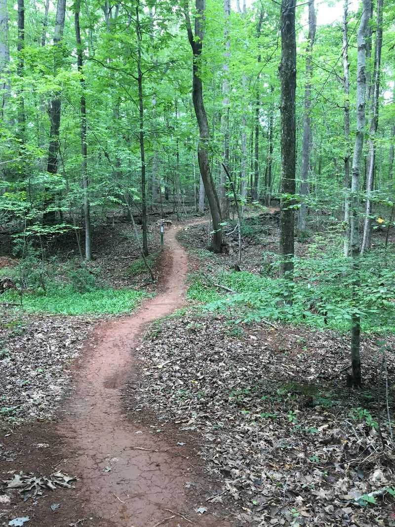
Seventeen miles of connected trails give this 673-acre preserve near Chapel Hill plenty of room to surprise you. Ponds appear without warning, ringed by cattails and mirrored sky.
Mature hardwood forest covers much of the property, and quiet clues to old farm life show up along the way, including historic farm ponds and scattered structural remains. Stone piles and low walls hint at homes long gone.
The James N. Strayhorn Family Cemetery sits on the land as well, its grave markers dating to the 1800s or earlier.
Standing there, the property stops feeling like scenery and starts feeling like somebody’s home place.
Protection came first from George and Julia Brumley, who set the land aside for conservation in the 1980s, and Triangle Land Conservancy acquired it in 2010.
Trails range from wide and easy to gently rolling, so pick a loop that matches your energy. A map is worth having, since the network branches often.
Hawks circle the meadows, deer slip between the trees at dusk, and facilities are minimal, so plan ahead.
7. Company Mill Trail, William B. Umstead State Park, Raleigh
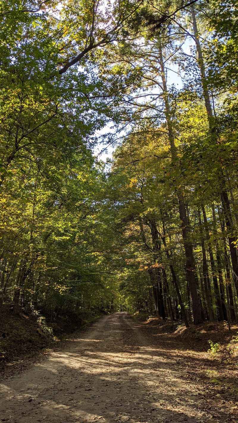
A whole working community once filled this valley, and the trail runs straight through what is left of it. Along Crabtree Creek, the massive stone wall of the Company Mill dam still holds its line.
The mill operated from roughly 1810 into the 1930s, a two-and-a-half-story building of stone, brick, and wood. Neighbors brought grain here to be ground and often stayed for social gatherings.
In 1994 a millstone surfaced in the creek, and it remains one of the most tangible links to the mill’s daily work. Farther along, watch for traces of homesteads, farm clearings, and small graveyards left by families who lived here before the park took shape in the 1930s.
An old dynamite shack stands as another odd relic beside the route. Stone steps, water sounds, and shaded slopes fill in the rest of the walk.
Set inside William B. Umstead State Park, this loop offers one of North Carolina’s easiest introductions to history on foot.
Creek levels can run high after storms, so check conditions first.
8. Holden Mill Trail, Eno River State Park, Durham
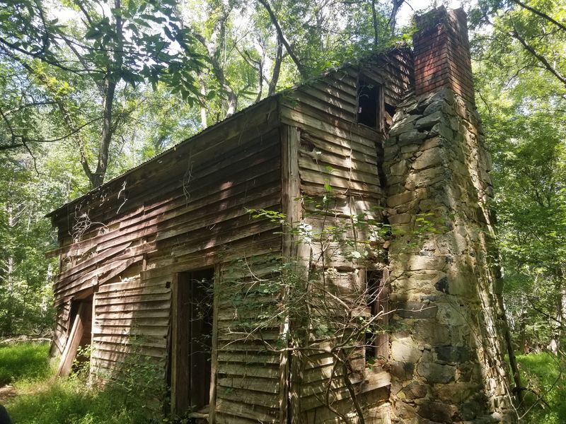
Isaac Holden put up a mill on the Eno River in 1811 to grind wheat and corn, and the river eventually took most of it back. A flood in 1908 carried away the bulk of the structure.
Stone foundations and sections of dam remain, enough to sense how large the operation once was. Moss covers the blocks, and the water slides over rock ledges just beyond.
Reaching the ruins takes a little planning. Start from the Cole Mill Road lot inside Eno River State Park and connect by way of the Buckquarter Creek Trail.
As of August 2026, only the upland section of the Holden Mill Trail is open, while the riverside portion stays closed. That shifts the hike toward higher ground, with long forest views and a steady, quiet climb.
Sturdy footwear helps on the rocky tread, and mornings tend to be cooler beside the water. Durham sits close enough that the trip works as a half-day outing.
Check the park’s current trail status before driving out.
9. Bean Shoals Trails, Pilot Mountain State Park, Pinnacle
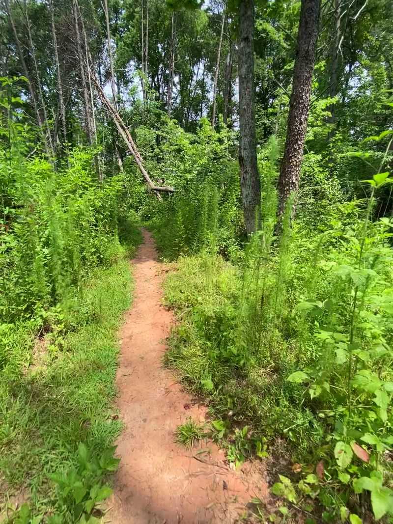
Ambition ran high along the Yadkin River in the 1820s, and the evidence is still standing. The Yadkin Navigation Company set out to build a three-mile canal so boats could bypass the rocky shoals.
Money and momentum ran out, and the project was abandoned by 1825. Even so, segments of the canal wall, roughly 20 feet high, rise from the woods like something left by a much older civilization.
The Bean Shoals section sits about 20 minutes south of Pilot Mountain’s main mountain area, which keeps crowds thinner. Trails here run mostly flat along the river, shaded by sycamore and river birch.
Water rushes loudly over the shoals, and flat stones make good spots to sit and eat a packed lunch. Spring brings wildflowers along the banks, while autumn spreads gold reflections across the current.
Few ruins in North Carolina tell a clearer story about big plans that never quite worked out. Wear shoes that handle sand and gravel, carry water, and watch the forecast, since river levels rise quickly after heavy rain.
Disclaimer: Use this guide as a starting point for planning your hike, not as a substitute for current information from park managers, land trusts, trail agencies, or emergency officials.
Trail conditions, access rules, parking arrangements, closures, construction projects, storm damage, flooding, fallen trees, maintenance work, and seasonal restrictions can change without much warning.
Before you leave home, check the official website or current visitor information for every trail you plan to use.
You should also confirm that the route described here is open and accessible on the day of your visit. A trail section that was available when this article was researched may later close because of weather, erosion, damaged bridges, high water, habitat protection, repairs, or other management concerns.
Do not enter a closed trail, cross a barricade, or continue beyond posted restrictions simply because an older map or article shows a route as open.
Historic ruins deserve extra care. Please look without climbing, moving stones, removing artifacts, digging around foundations, entering unstable structures, or disturbing archaeological features.
Old walls, mill foundations, dams, bridge supports, chimneys, and other remains may be fragile even when they appear solid. Loose masonry can shift unexpectedly, and vegetation can hide holes, sharp objects, unstable ground, steep drop-offs, or remnants of old construction.
Keep a safe distance from fast-moving water, dams, canals, riverbanks, and slippery rocks. Water levels can rise rapidly after heavy rain, including rain that falls upstream rather than directly over your hiking area.
Never assume that a shallow-looking crossing will remain safe throughout your visit. Turn around whenever water, weather, trail damage, or terrain makes you uncomfortable.