The Old Version Of This Small Kentucky Town Is Still Sitting Under A Lake
Most towns stay where you left them. This one is an exception.
It packed up in the late fifties and moved to higher ground, because a dam was coming and the water was not negotiable.
The old town did not sink romantically with its lights still on. Crews tore it down first.
Then Lake Barkley filled in over the empty lots.
Here is the part that still surprises people. Every winter the lake drops to its low pool.
Streets come back into view. Foundations reappear where houses used to stand.
You can see the outline of a place that has not existed since nineteen sixty six.
Part of the old town never went under at all. That piece you can visit in any season.
The relocation was not gentle, and locals will tell you so. Families argued over what their land was worth.
Go in winter and the ground tells you the rest.
The Original Town And Why It Disappeared
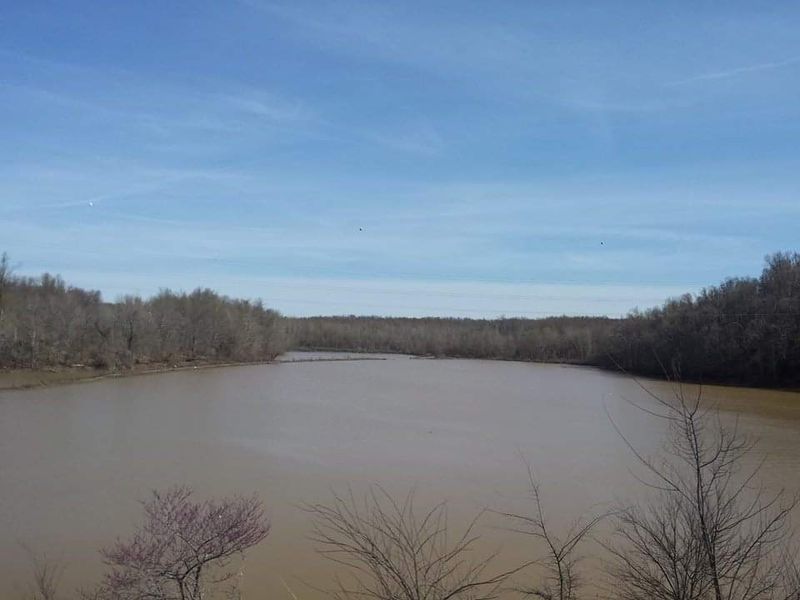
Eddyville, Kentucky has one of the most unusual origin stories of any American town. The original settlement sat along the banks of the Cumberland River for well over a century before anyone considered moving it.
When the Tennessee Valley Authority began building Barkley Dam in the 1960s, communities along the Cumberland River were relocated as Lake Barkley was created. Eddyville was one of them.
The town did not disappear overnight. Residents had time to relocate homes, move businesses, and say goodbye to familiar streets.
Still, not everything made the journey uphill.
Foundations, roads, and remnants of old buildings stayed right where they were. The water rose slowly and covered them like a curtain being drawn across a stage.
Today, the new Eddyville sits on higher ground overlooking Lake Barkley. But locals and divers know the original version is still down there, just waiting to be explored.
It is a strange and fascinating piece of American history that most people drive right past without ever knowing.
The Water That Covers Everything
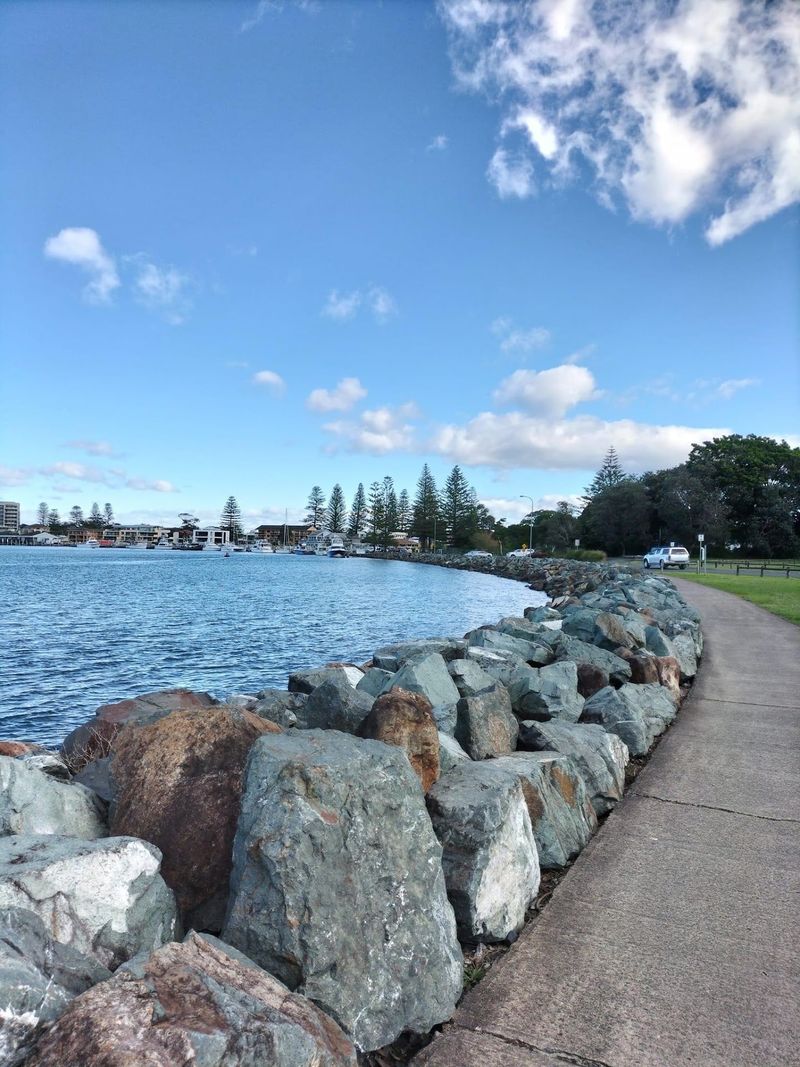
Lake Barkley did not exist until the Barkley Dam was completed in 1966. Before that, it was just the Cumberland River moving through Lyon County at its own pace.
Once the dam was finished, the river backed up and spread across thousands of acres of land. Towns, farms, and forests went underwater as the reservoir filled.
The lake is named after Alben Barkley, a Kentucky senator who later became Vice President of the United States under Harry Truman. It covers roughly 57,920 acres and stretches across parts of Kentucky and Tennessee.
Fishing on Lake Barkley is popular year-round. Bass, crappie, and catfish are common catches.
But for people who know the history, casting a line here feels a little different.
You are floating above an entire community that once had a post office, a courthouse, and families living ordinary lives. That thought alone makes Lake Barkley one of the more thought-provoking spots in the entire state.
It is beautiful on the surface and genuinely haunting underneath.
What Divers Have Found Beneath The Surface

Scuba divers who explore Lake Barkley near the old Eddyville site describe something that feels almost cinematic. Brick walls, stone foundations, and old road surfaces are still visible beneath the water.
Visibility in the lake varies by season. In clearer conditions, divers report seeing structural outlines that match old maps of the original town layout.
It is like reading a map with your eyes open underwater.
Some divers have found pieces of old ceramic, metal fixtures, and even fragments of what appear to be household items. Nothing dramatic, but enough to confirm that real life happened here once.
The state of Kentucky has regulations about removing artifacts from submerged lands. Most responsible divers stick to photography and observation rather than collection.
For anyone certified in open water diving, this area offers a genuinely unique experience. You are not looking at a shipwreck or a reef.
You are looking at someone’s neighborhood. That distinction makes every dive feel more personal and more meaningful than a typical underwater excursion ever could.
Barkley Dam And The Creation Of Lake Barkley
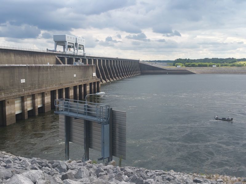
Barkley Dam spans the Cumberland River near Grand Rivers. Completed in 1966, it created Lake Barkley, the reservoir that flooded the original site of Eddyville.
Building it required relocating thousands of people across multiple counties. Families were given compensation and told their land would be flooded.
Some accepted the deal. Others fought it for years.
Barkley Dam created Lake Barkley, one of Kentucky’s largest reservoirs. It stretches about 184 miles long and covers over 160,000 acres of surface water.
Power generation was the primary goal. The dam supplies electricity to a wide region and remains an active part of the TVA grid today.
It is functional infrastructure that also happens to have buried history underneath it.
Visitors can tour the dam and learn about its construction through TVA educational programs. Standing on top of it and looking out over the water, knowing entire communities rest below, is a moment that tends to stay with people.
It is engineering and history in one very large package.
The New Town Built On Higher Ground

After the flooding was inevitable, Eddyville did not simply disappear. The community rebuilt itself on higher ground just a short distance from the original site.
It is still a functioning town today.
The new Eddyville is the county seat of Lyon County. It has a population of around 2,500 people, a historic courthouse, and the Kentucky State Penitentiary, which has operated since 1884 and is one of the oldest in the country.
Walking through the current town, you can feel the weight of its history. People here are aware of what happened.
Many families have stories passed down about life before the water came.
The town holds onto its identity with quiet pride. Local history groups have worked to document and preserve records from the original settlement.
Old photographs, deeds, and personal letters have been collected and archived over the decades.
Eddyville is not a tourist trap. It is a working town with a layered past.
Stopping here for even a few hours gives you a clearer picture of how American communities adapted and survived some of the most dramatic land changes of the 20th century.
Old Maps And Photographs That Prove It Existed
One of the most compelling ways to understand what was lost is to look at old maps. Pre-flood maps of Eddyville show a fully developed grid of streets, named roads, and designated lots for homes and businesses.
The Lyon County Public Library and the Kentucky Historical Society both hold archival materials related to the original town. Photographs from the 1920s and 1930s show brick storefronts, a bustling main street, and residents going about daily life.
Comparing those images to the current lakebed is a genuinely strange exercise. Streets that once had names now have fish swimming over them.
Yards where children played are now covered in silt and silence.
Researchers and local historians have used these maps alongside sonar technology to identify where specific structures once stood. The results closely match what divers have reported seeing in person.
If you ever get a chance to flip through old Kentucky newspapers from the early 1940s, you will find coverage of the relocation process. The reporting is matter-of-fact, but the human stories between the lines are anything but ordinary.
History is often found in the details most people overlook.
The Families Who Had To Leave And Never Forgot
For the families who lived in the original Eddyville, the relocation was not just a logistical challenge. It was a deeply personal disruption that shaped their lives for decades afterward.
Many residents had lived in the same homes for generations. Leaving meant saying goodbye to the graves of relatives, the churches where they were baptized, and the schools where they learned to read.
Some families moved only a few miles away. Others relocated to different parts of Kentucky or left the state entirely.
The community scattered, though many stayed connected through shared memory.
Oral history projects conducted in the 1980s and 1990s captured firsthand accounts from elderly residents who remembered the move. Their descriptions are vivid, specific, and deeply human.
One recurring theme in those accounts is the eerie quiet of the days just before the water came. Streets that had been busy for a century suddenly went still.
People describe hearing their own footsteps echo in ways they never had before. Those stories do not make it into most history books, but they are the truest record of what actually happened when Eddyville went underwater.
Why Submerged Towns Like This Matter To History
Submerged towns are not unique to Kentucky. Dozens of American communities were flooded during the dam-building era of the mid-20th century.
But each one tells a specific story worth preserving.
Eddyville is a clear example of how infrastructure projects, even beneficial ones, come with real human costs. Understanding those costs helps us make better decisions about land use, community planning, and historical preservation today.
Underwater archaeology has grown significantly as a field over the past 30 years. Researchers now have tools to study submerged sites without disturbing them, including sonar mapping, underwater photography, and remote sensing technology.
Kentucky has been relatively proactive about documenting its submerged cultural resources. State archaeologists have conducted surveys of Lake Barkley and surrounding areas to catalog what remains below the surface.
Knowing that a whole town exists beneath a popular fishing lake changes how you see that lake. It is not just a recreational space.
It is a living archive. Every ripple on the surface is moving over something that was once real, inhabited, and full of the ordinary details that make a community worth remembering.
That is a thought worth carrying with you long after you leave the shoreline.