These 8 Quick Virginia Hikes Are Under 5 Miles And Absolutely Worth The Effort
You do not need an all-day trek to earn a view worth talking about.
Across Virginia, shorter trails lead to waterfalls, mountain overlooks, limestone formations, river scenery, and rocky ledges without demanding ten miles from your legs.
The difficulty still varies enough to keep things interesting.
A smooth path may suit an easy morning, while another route adds steep sections or a scramble before revealing the payoff. Short hike, serious scenery!
These trails work especially well when the day is already busy or you simply want adventure without turning it into an endurance test.
Bring water, wear decent shoes, and leave enough time at the end to actually enjoy the view you came for.
1. Stony Man Trail, Luray
My jaw dropped the first time those rock ledges came into view. The payoff here arrives fast, which makes it one of the friendliest climbs around.
Stony Man Trail sits at Skyline Drive Mile 41.7 in Shenandoah National Park, near Luray. The official Stony Man hike covers 1.6 miles round trip from the parking area at Skyline Drive Mile 41.7.
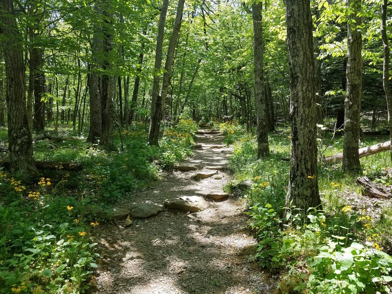
The path stays wide and clearly marked the whole way. You begin under a canopy of oaks, following white Appalachian Trail blazes before switching to blue blazes.
The official route gains about 340 feet and carries Shenandoah National Park’s easiest difficulty rating.
Near the top, the trees change character completely. High winds have left them twisted and short, which sets a dramatic mood before the reveal.
The summit rock outcropping opens onto the Shenandoah Valley and the Blue Ridge Mountains. Clear days stretch the sightline all the way to Massanutten Mountain.
Fun bit of trivia: Stony Man ranks as one of the tallest peaks in the park. You reach that height with barely any suffering involved.
Every season suits this route, though autumn colors make the valley look painted. Winter mornings bring crisp air and long, uninterrupted views.
Bring a wind layer, since the summit gets breezy even in July. Sunrise and sunset both work beautifully if you time the drive right.
One important note before you load the car: pets are not permitted on this trail. Leave your four-legged buddy at home and plan a separate outing.
Few short hikes in the mid-Atlantic hand over this much scenery for so little sweat.
2. Limberlost Trail, Luray
Just imagine for a second a forest loop that welcomes absolutely everyone. That inclusive design is exactly what makes this walk special.
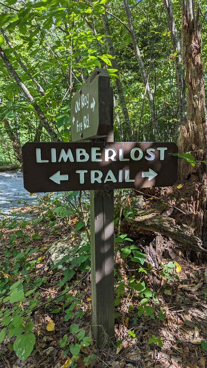
Limberlost Trail rests at Skyline Drive Mile 43 inside Shenandoah National Park, close to Luray. The loop measures 1.3 miles from start to finish.
A wide, crushed greenstone surface covers the entire route. Much of it works well for wheelchairs and strollers alike.
Elevation gain totals only about 130 feet. Nobody will be gasping for breath on this one.
The trail curves through thick woods dotted with stands of mountain laurel. Show up in June and those blossoms put on a full show.
Geology fans get a treat too, thanks to columnar jointing along the way. Those angular rock formations trace back to ancient lava flows.
Interpretive signs turn the loop into a self-guided lesson. Families in the TRACK Trails program especially enjoy hunting for each marker.
Benches appear at intervals, so resting is easy and unhurried. Benches along the route provide regular places to stop and rest.
Early morning brings songbirds and cool, damp air under the canopy. Afternoons stay shaded, which helps during muggy summer stretches.
Photographers often linger near the laurel thickets in late spring. Soft, filtered light makes the pink and white flowers glow.
Keep in mind that pets are not allowed on this accessible pathway. Plan accordingly if you travel with a dog.
Parking sits right beside the trailhead, so the walk starts immediately. No confusing approach roads or long shuttle hikes required.
For a peaceful hour among old trees and quiet birdsong, this loop earns its reputation honestly.
3. Hawksbill Summit Trail, Stanley
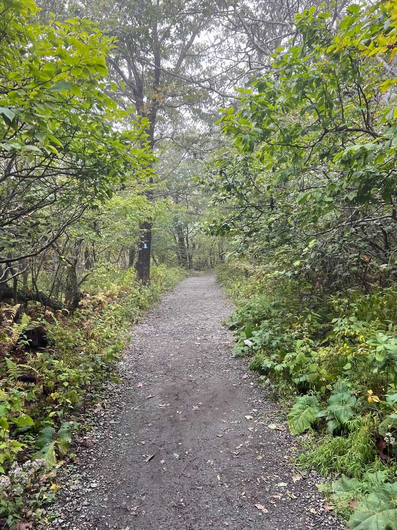
Standing on the park’s highest ground changes how you see the whole ridge.
Hawksbill Summit Trail begins at Skyline Drive Mile 45.5 in Shenandoah National Park, near Stanley. The peak tops out at 4,051 feet, making Hawksbill the highest point in Shenandoah National Park.
Several routes reach the summit, but the shorter Lower Hawksbill route from Hawksbill Gap covers 1.7 miles round trip and trades distance for a steeper grade.
Expect roughly 690 feet of elevation gain along the way. Rated moderate, it rewards steady pacing more than speed.
Dense forest shades most of the ascent, which helps on warm days. Then the trees open and the horizon simply explodes outward.
A stone viewing platform crowns the summit. From there you get a full 360-degree sweep of valley, ridges, and piedmont.
Clear conditions let you pick out Old Rag and Stony Man. Naming distant peaks becomes a small competitive sport up there.
Spring and summer scatter wildflowers along the trail edges. Those bursts of color break up the green nicely.
Look skyward while you catch your breath. Peregrine falcons breed within Shenandoah National Park, so hikers may be lucky enough to spot one overhead.
Wind at the summit can be fierce, so pack an extra layer. Even mild valley weather turns brisk at that elevation.
Parking at Hawksbill Gap is limited, so allowing extra time during busy periods is sensible.
Sturdy shoes help on the rockier upper stretches. Trekking poles make the descent easier on knees.
Short mileage, serious elevation, and the best seat in Shenandoah make this a bucket-list morning.
4. Dark Hollow Falls Trail, Stanley
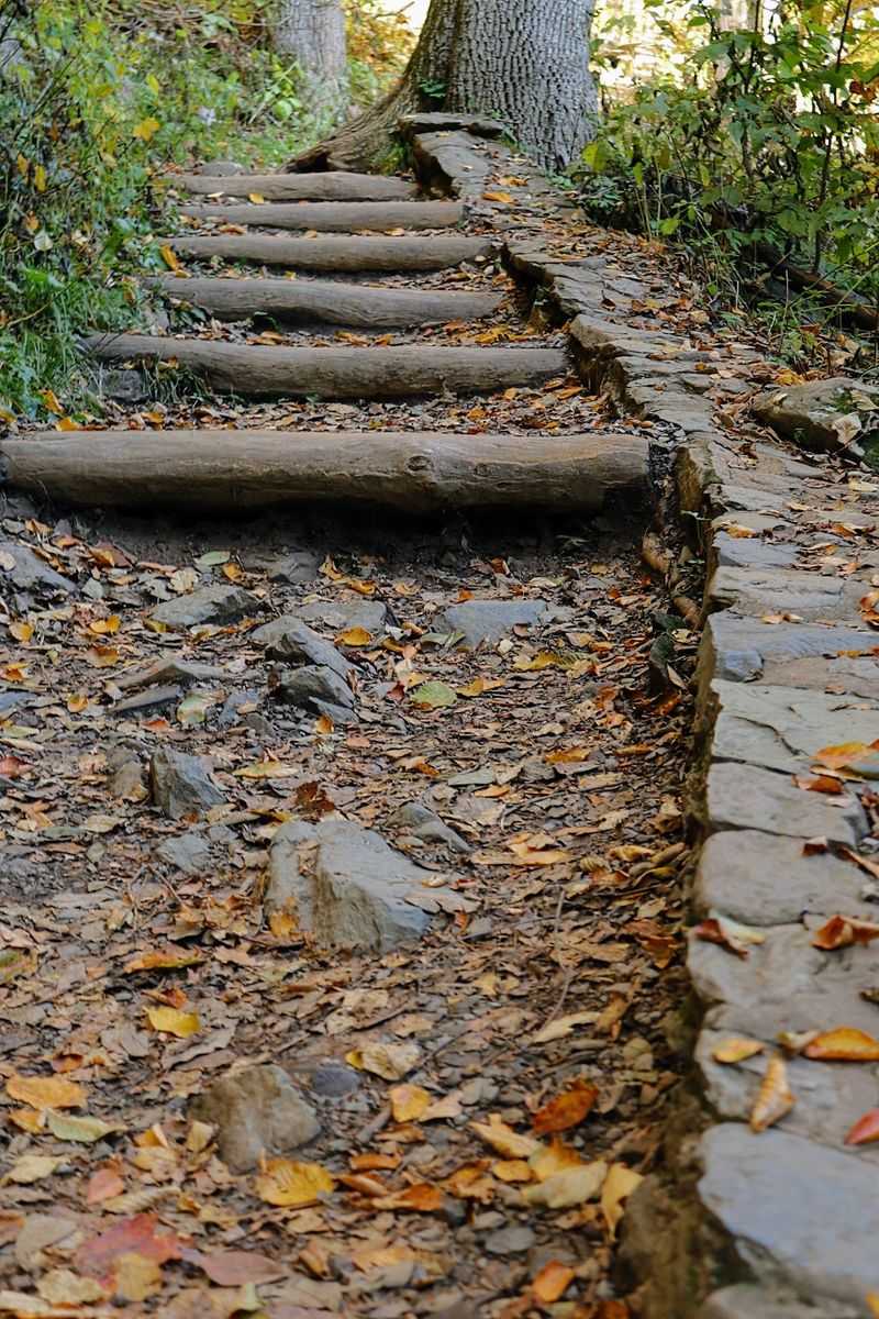
Waterfall chasers, because this one sits closer to the road than almost any other. The sound of moving water starts within minutes of leaving the car.
Dark Hollow Falls Trail leaves from Skyline Drive Mile 50.7 in Shenandoah National Park, near Stanley. Round trip covers about 1.4 miles.
Short mileage does not mean easy, though. Steep, rocky sections earn it a moderate rating.
The 440 feet of elevation gain hits hardest on the return climb. Descending is the fun part; going back up is the workout.
Hogcamp Branch keeps you company the entire way down. Small pools and mini cascades appear around nearly every bend.
The main event is a 70-foot multi-tiered curtain of water. The trail leads hikers to views of the 70-foot waterfall, with steep and slippery terrain making it important to remain on the established path.
Rocks near the water stay slick year-round, so stick to the designated path. Mossy stone offers zero grip when wet.
Spring, summer, and fall all show the falls at their best. After solid rainfall, the volume becomes genuinely thunderous.
Morning light filters into the hollow at flattering angles. Photographers should bring a cloth to wipe lens spray.
Dark Hollow Falls is one of Shenandoah’s most traveled trails, so visitors should allow extra time for parking and trail traffic during busy periods.
Take note that pets are not permitted on this trail. Plan a dog-friendly outing elsewhere in the park.
Wear shoes with real tread and carry water for the uphill return. Both make a noticeable difference.
Little effort, big cascade, and a soundtrack that follows you all the way back to the trailhead.
5. Bearfence Mountain Trail, Elkton
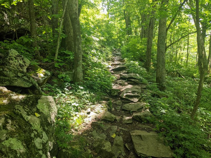
Are you seeing what I’m seeing? Hands, feet, and a whole lot of boulders come into play here.
Bearfence starts at Skyline Drive Mile 56.4. The rock-scramble route covers 1.4 miles round trip, while the easier no-scramble viewpoint route covers 1.1 miles.
Its claim to fame is the rock scramble. You climb over and between chunks of ancient greenstone using both hands.
Elevation gain measures around 311 feet. Modest on paper, more interesting in practice.
The reward is a clean 360-degree panorama. Virginia Piedmont on one side, Shenandoah Valley on the other.
A stretch of the Appalachian Trail crosses through the loop. Thru-hikers occasionally pass by with enormous packs.
Anyone who wants to avoid the rock scramble can take the 1.1-mile Bearfence Viewpoint route, which reaches a 180-degree view without the exposed scramble.
Dry conditions matter enormously on this route. Wet or icy rock turns the fun sections genuinely unsafe.
Fall brings crisp air and color spilling across both valleys. Summer works too, though the exposed rock heats up fast.
Leave the backpack straps snug and hands free for balance. A small daypack beats a bulky one every time.
Grippy footwear helps more than any other gear choice. Smooth-soled sneakers will slide on the greenstone.
Pets are not allowed on this scrambling adventure. Arrange a sitter and enjoy the rocks worry-free.
Allow extra time, since the scramble slows everyone down. Rushing it defeats the whole purpose anyway.
Short, scrappy, and endlessly entertaining, this loop turns a quick hike into a proper adventure story.
6. South River Falls Observation Point Trail, Elkton
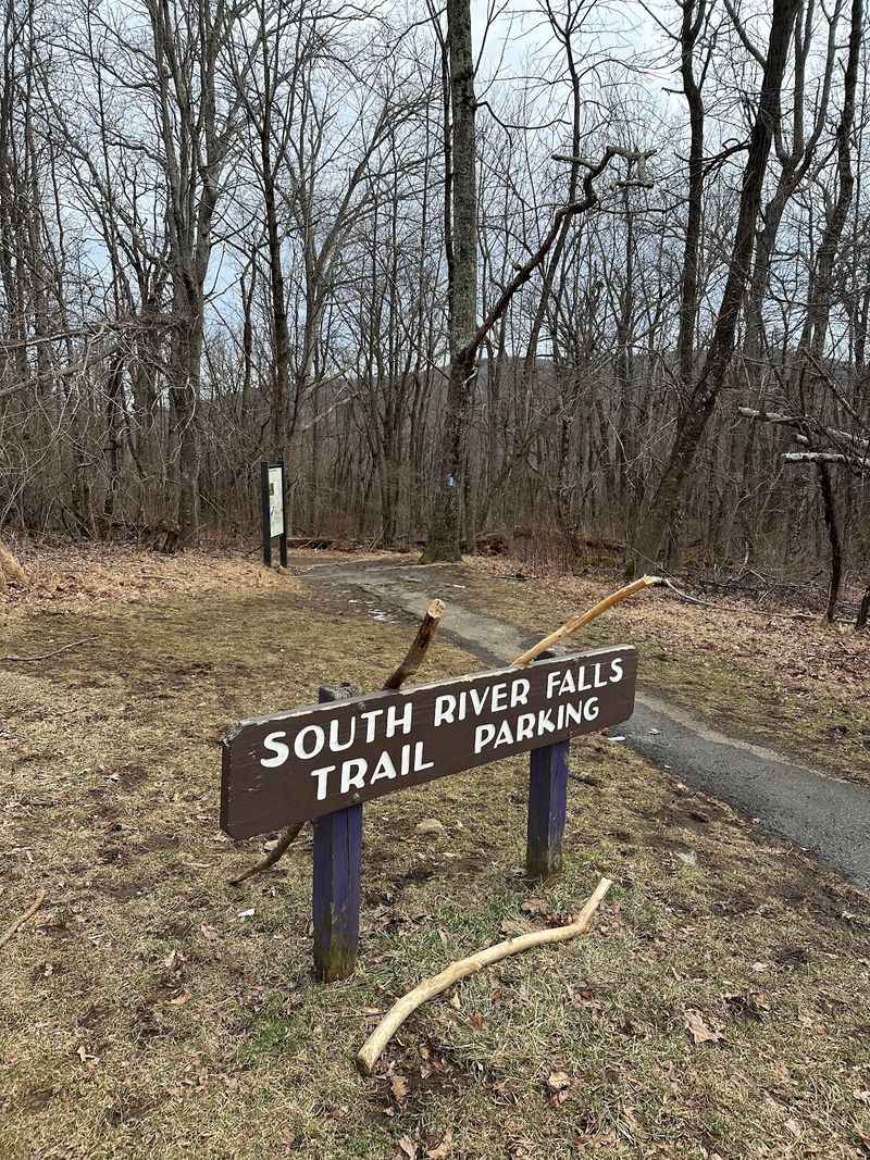
Here’s a crazy thought: one short trail, a towering cascade, and forest views the entire way. Not a bad return on a couple of hours.
South River Falls Observation Point Trail departs from Skyline Drive Mile 62.7 at the South River Picnic Grounds in Shenandoah National Park, near Elkton. The round trip covers 2.6 miles.
Rated moderate, the route drops steadily toward the overlook. Save some energy for the climb back out.
Hardwood forest surrounds the path, full of ferns, mushrooms, and birdsong. Wildlife can appear throughout the surrounding forest, though sightings vary from visit to visit.
A stream crossing adds a bit of hop-and-balance fun. The trail also touches a section of the Appalachian Trail.
South River Falls drops 83 feet into the gorge below, making it one of Shenandoah’s taller waterfalls.
A stone-walled observation point frames the view perfectly. It also keeps everyone safely back from the drop.
Want more? NPS also lists a separate 3.3-mile circuit that reaches the base of the falls, while continuing directly from the observation point to the base adds a steep, rocky extension.
Spring runoff makes the cascade roar the loudest. Autumn trades volume for spectacular leaf color.
The picnic grounds at the trailhead make a fine post-hike lunch stop. Tables sit under shade, which is a welcome bonus.
Cell service is unreliable, so download maps beforehand. A paper park map never hurts either.
Bring bug spray in mid-summer, especially near the stream. Long socks help on cooler mornings.
Waterfall, ridge scenery, and a peaceful forest walk all packed into an easy half-day escape.
7. River Trail At Great Falls Park, McLean
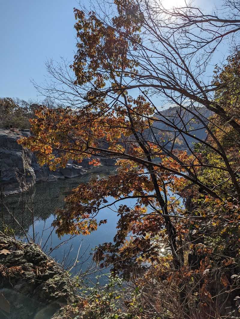
Let’s be real for a second, the noise alone here is unforgettable. Rushing water hits your ears well before you reach the overlooks.
The River Trail at Great Falls Park runs roughly 1.5 miles one way along Mather Gorge in McLean. It hugs the rocky rim above the Potomac River.
Great Falls itself tumbles over a jumble of jagged rock. Churning rapids and powerful currents put on a nonstop performance.
Portions rate moderate to hard, with easy rock scrambles mixed in. The start is level dirt before things get rugged.
Soon the route narrows and runs close to the cliff edge. Drops there range from about 25 to 75 feet.
Keep children close and phones tucked away on the exposed stretches. Watching your footing beats watching a screen.
Wildlife adds another layer to the outing. Vultures circle the gorge while great blue herons wade the shallows.
Experienced whitewater kayakers sometimes navigate the powerful Potomac below, where rapids in and around Mather Gorge can reach Class III to V or higher. Rock climbing is also permitted on designated gorge walls.
Spring brings high, muddy water and dramatic power. Winter strips the trees and opens up wider sightlines.
The park sits at 9200 Old Dominion Dr and charges an entrance fee. Leashed dogs are welcome on the trail.
Strollers, however, are not recommended given the terrain. A child carrier works far better here.
Great Falls can become busy during popular visiting periods, so allowing extra time for parking and the overlooks is useful.
Raw river power this close to a major metro area still surprises me every single time.
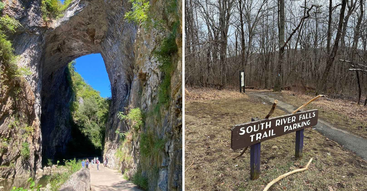
8. Cedar Creek Trail To Lace Falls, Natural Bridge
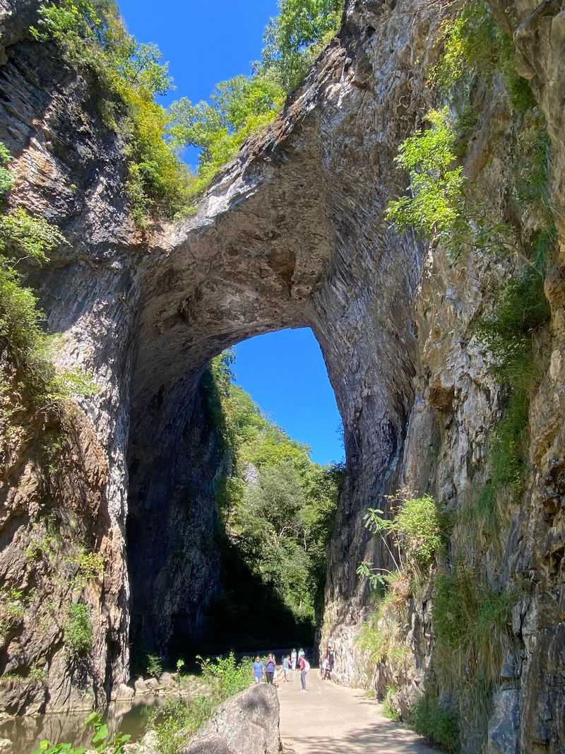
This walk mixes geology and history beautifully. The descent begins with 137 steps into a shaded gorge.
Cedar Creek Trail covers about two miles round trip from the visitor area to Lace Falls, with 137 stairs at the beginning and a moderate rating on the current park trail guide.
Its centerpiece is the Natural Bridge itself. Virginia State Parks currently describes the Natural Bridge as roughly 200 feet tall within the limestone gorge carved by Cedar Creek.
Cedar Creek carved that opening over countless centuries. Standing directly beneath it is a humbling experience.
Farther along, the trail reaches Saltpeter Cave. Nitrates from that cave once supplied munitions production.
The Lost River appears next, a large spring emerging straight from the mountain. Nobody has fully traced its source.
Lace Falls closes out the trail with a 50-foot cascade at the far end of Cedar Creek Trail.
Seasonal interpretation is offered through the park’s Base Camp exhibits and ranger programming, with availability changing during the year.
After the 137 stairs, the route to Natural Bridge uses level concrete and asphalt before changing to gravel farther along Cedar Creek, and the current trail guide rates the overall trail moderate.
Spring fills the gorge with wildflowers and stronger water flow. Summer stays cool thanks to constant shade.
Park admission is required, and the address is 6477 South Lee Hwy in Natural Bridge. Restrooms and parking sit near the entrance.
Plan two hours if you want to read every exhibit. Rushing past the arch would be a shame. Few short trails in Virginia stack this much wonder into a single creekside stroll.