10 South Carolina Hiking Trails Where Copperhead Awareness Matters In September
September hiking can still be beautiful, but I would rather know what might be sharing the trail before heading out.
Copperheads occur statewide in South Carolina and can remain active into fall, while their camouflage can make them especially difficult to spot in fallen leaves.
That does not mean every hike becomes a snake encounter, but paying attention makes sense.
I like outdoor advice that informs rather than scares people, and that is the approach here.
The trails still offer waterfalls, forests, overlooks, and plenty of reasons to go.
A little awareness can simply make the experience feel more prepared, not less adventurous.
1. Table Rock Trail, Pickens
My jaw kind of dropped the first time that granite dome came into view. The mountain looms over everything around it.
Table Rock Trail, inside Table Rock State Park near Pickens, runs roughly 3.6 miles one way. It climbs more than 2,000 feet to the summit.
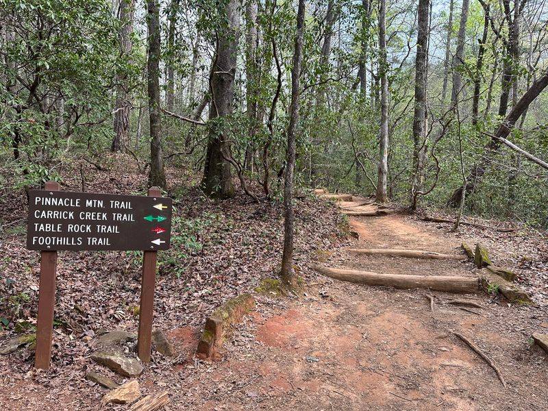
Red blazes guide you up a steep, very strenuous route with stone staircases, boulders, and rugged mountain terrain.
Oaks and hickories dominate the forest, with scattered pines and hemlocks filling the gaps. Leaf litter piles up along the edges in September.
Copperheads can disappear against fallen leaves, so stay on the marked trail and watch where you place your hands and feet around rocks, logs, and leaf litter.
Views from the top stretch across Table Rock Reservoir and the ridgelines beyond. The climb earns every bit of that reward.
Hiker registration is required, and during the current 2026 Nature Center project visitors are being directed to the Concessions Area to register before using the temporary trail access.
Park gates lock at night, so plan your descent with daylight to spare. Coming down tired and rushed is how people miss what is underfoot.
Carry enough water for a strenuous 7.2-mile round trip, and adjust your supply to the temperature, humidity, and your own needs.
The hiking trailhead is at 620 Table Rock State Park Rd, Pickens, with temporary access adjustments currently in place during the 2026 construction project.
2. Raven Cliff Falls Trail, Cleveland
Just imagine for a second water dropping hundreds of feet into a green gorge. The sound arrives before the view does.
Raven Cliff Falls sits inside Caesars Head State Park near Cleveland, and it stands about 420 feet tall. No waterfall in the state goes higher.
The main path covers roughly 4 miles round trip to the scenic overlook. Most hikers call it moderately strenuous.
Ambitious walkers can push on for a 6.6-mile round trip to a suspension bridge. That bridge crosses the creek right above the drop.
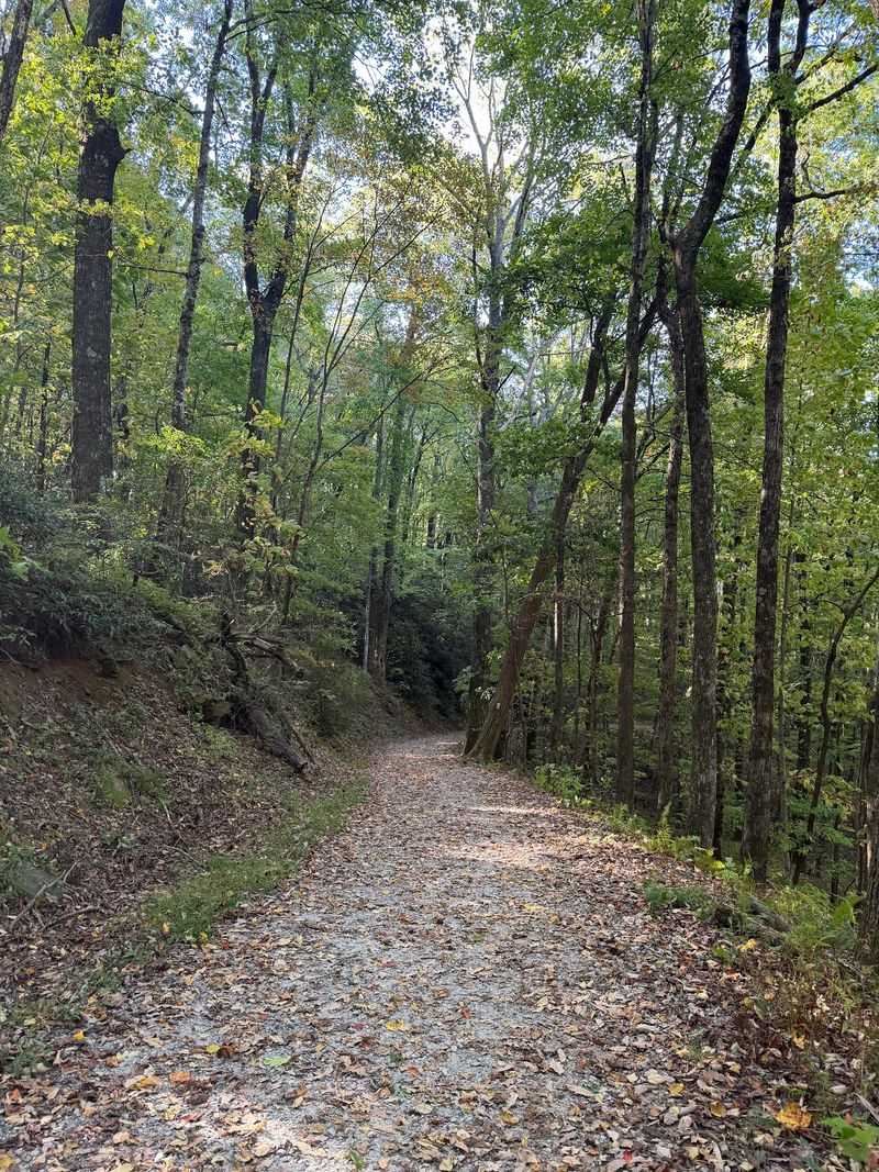
Dense forest lines the route through the Mountain Bridge Wilderness Area. Wild azaleas and late wildflowers add color along the way.
Copperheads can remain active into fall, so stay on the marked trail and give any snake you encounter plenty of space.
Sturdy shoes matter here because roots and loose stone show up often. Trekking poles give you a useful extra point of contact.
An earlier start can provide more daylight for the hike and may offer cooler conditions depending on the weather.
Bring more water than you think you need, plus a snack for the return climb. The hike back always feels longer.
The Raven Cliff Falls trailhead is on U.S. 276 about 1.1 miles beyond the Caesars Head visitor center; 8155 Geer Hwy is the park’s main address.
3. Jones Gap Trail, Marietta
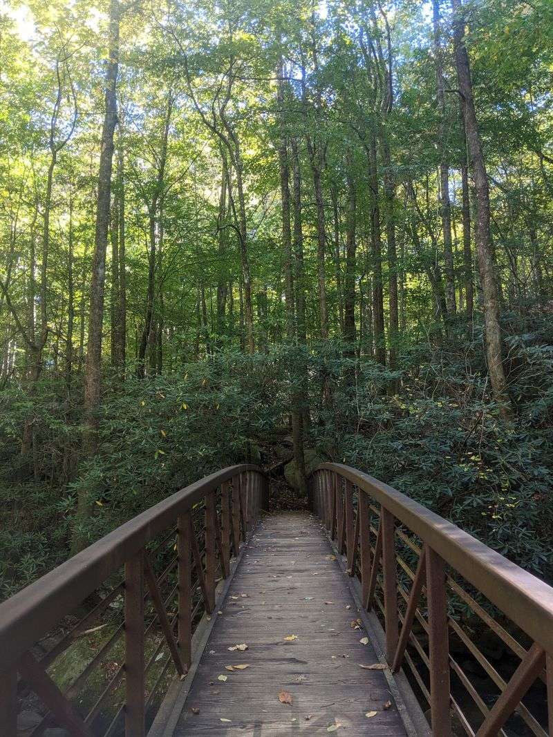
It makes you wonder how many waterfalls hide inside one mountain valley. The answer here is more than you can count on one hand.
Jones Gap Trail runs through Jones Gap State Park near Marietta, part of the Mountain Bridge Wilderness Area. The park links up with Caesars Head.
The Middle Saluda River flows through the whole corridor. It was the first designated scenic river in South Carolina.
The full Jones Gap Trail runs 5.3 miles one way, following the Middle Saluda through rugged woodland with rocks, roots, streams, and river crossings.
Smaller cascades appear regularly, including the 50-foot Jones Gap Falls. Each one makes a fine rest stop.
Snakes can occur throughout this habitat, so watch where you step or place your hands and never attempt to handle one you encounter.
Birders do well here across every season. Trout anglers chase wild rainbow, brown, and brook fish in the river.
On the Middle Saluda upstream from the Jones Gap footbridge, anglers may keep up to five trout and may use only single-hook artificial lures, while the section below the footbridge to Hugh Smith Road is catch-and-release only.
A valid South Carolina fishing license is required.
Parking reservations are required for guaranteed entry from 9 AM to 1 PM on Saturdays, Sundays, and holidays; outside that window, parking is first-come, first-served.
Find the trailhead at 303 Jones Gap Rd, Marietta. Between river views and quiet forest, this one rewards hikers who take their time and watch their feet.
4. Sulphur Springs Trail, Greenville
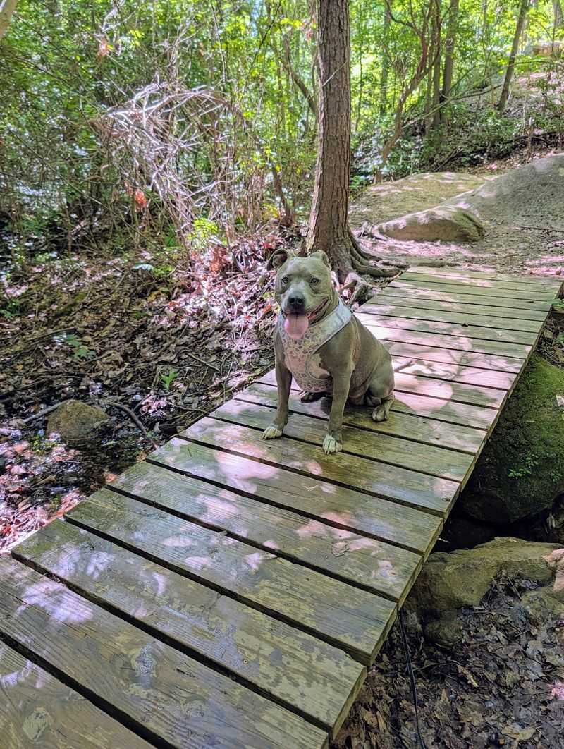
Have you given any thought to how close real wilderness sits to a busy downtown? Ten minutes of driving changes everything.
Sulphur Springs Trail makes a 3.8-mile loop through Paris Mountain State Park, and the park rates the steep, rocky route as strenuous.
The Civilian Conservation Corps shaped this park during the Great Depression. Their stonework still shows up in quiet corners.
Hardwood forest covers most of the route, with rolling hills and small streams breaking up the climb. Shade stays generous even in September.
Snakes are among the wildlife listed for this trail, so watch your footing around rocks, roots, logs, and streamside vegetation.
Other Paris Mountain trails allow mountain biking, but bicycles are prohibited on all park trails on Saturdays, while Sulphur Springs itself is listed as a hiking trail.
Lake Placid anchors the lower section of the park for paddling and picnicking. It makes a pleasant finish after a sweaty loop.
The park notes that hikers on the route may encounter deer, birds, snakes, and other wildlife.
Because the trailhead sits so near the city, this works well as a half-day outing. No long drive required.
The address is 2401 State Park Rd, Greenville. History underfoot, forest overhead, and a loop that fits neatly into a September afternoon.
5. Croft Passage, Spartanburg
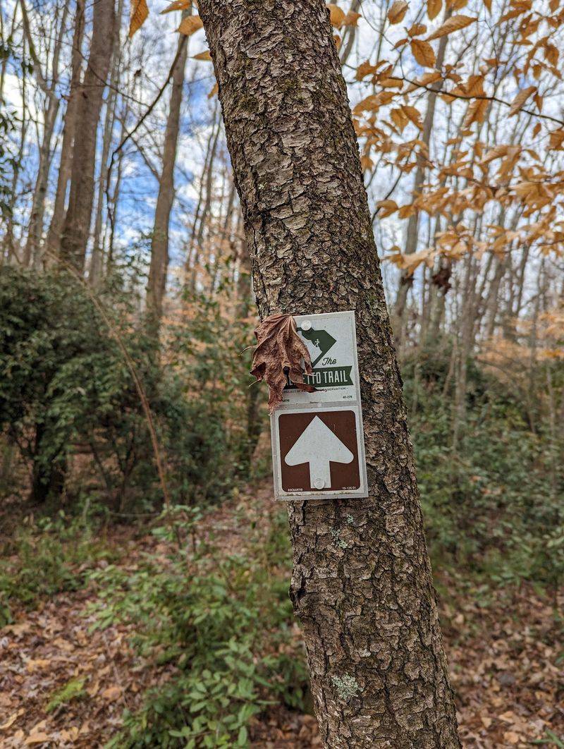
One trail carrying both battlefield history and creek crossings? The mix works better than expected.
Croft Passage belongs to the Palmetto Trail and runs about 13 miles through historic Croft State Park.
The route connects the city with the Glenn Springs area. Hikers, cyclists, and equestrians all use it, though some sections carry specific designations.
Ridges, rolling hills, small brooks, and stretches of Kelsey Creek fill the miles. Old homestead remains appear along the way.
Old foundations and stone remains are best viewed from the trail, while hikers should also watch carefully for snakes and other wildlife along the route.
The 65-foot Advance America Bridge is the longest trail bridge in any South Carolina state park. Crossing it feels like a small event.
Camp Croft once trained World War II soldiers across this same ground. Traces of that era remain scattered through the woods.
The northern trailhead marks the site of the First Battle of Cedar Springs, a Revolutionary militia victory. History buffs get plenty here.
Long mileage means carrying real water capacity and a charged phone. Shuttle planning helps for one-way attempts.
Head to 450 Croft State Park Rd, Spartanburg. Few routes blend woodland quiet with this much backstory.
6. Natural Bridge Nature Trail, Sunset
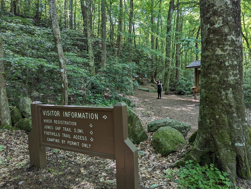
Let me be real for a second: some routes make your legs ache and your spirit lift at once. This is one of them.
Natural Bridge Nature Trail loops 1.3 miles through Keowee-Toxaway State Park near Sunset.
The trail begins near the park office and follows Poe Creek through the foothills of the Blue Ridge Mountains.
Mountain laurel, blueberries, and Bowman’s root line portions of the route, which the park rates moderate to strenuous.
Backcountry campsites are available along Raven Rock Trail elsewhere in Keowee-Toxaway State Park, while Natural Bridge Nature Trail is designed as a shorter loop hike.
Copperheads are well camouflaged in leaf litter, so watch where you place your feet and hands and give any snake plenty of room to move away.
The trail is well marked, but carrying a map and telling someone your route remain sensible hiking precautions.
The short loop’s signature feature is a natural rock bridge over Poe Creek, along with small cascades, rock formations, and seasonal wildflowers.
Sturdy boots with ankle support beat trail runners on this rocky ground. Blisters end good days quickly.
The listed address is 108 Residence Dr, Sunset. Wild, rugged, and generous to anyone willing to earn the miles.
7. Kings Mountain Nature Trail, Blacksburg
I am still trying to wrap my head around a walk that teaches while it stretches your legs. Learning happens between the trees.
Kings Mountain Nature Trail loops 1.2 easy miles inside Kings Mountain State Park near Blacksburg. The route starts at the picnic area.
Interpretive signs explain local wildlife, plant life, and regional history along the way. The short interpretive loop is designed as a family-friendly walk through the park’s natural and cultural history.
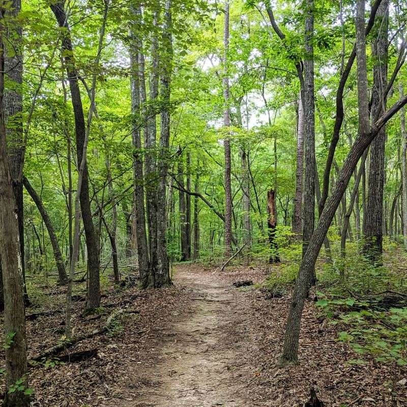
Dense hardwood forest shades the trail, with thick ground cover spreading between trunks. Spring brings flowering trees, and autumn brings warm color.
Deer, rabbits, wild turkey, and plenty of birds show up for patient walkers. Quiet footsteps improve your odds.
Copperheads can blend closely with fallen leaves and ground cover, so stay on the trail, watch where you step, and leave any snake alone.
Kings Mountain National Military Park sits nearby, marking a famous Revolutionary War battle. The two areas pair well in a single day.
A nearby Living History Farm Trail leads to a replica of a mid-19th-century South Carolina yeoman farm, with volunteer living-history demonstrations scheduled at various times during the year.
Short mileage makes this ideal for families with small children or anyone easing back into hiking. Strollers struggle on the roots, though.
Look for the trailhead at 1277 Park Rd, Blacksburg. Gentle miles, real history, and a forest that keeps its stories close.
8. Poinsett State Park Trails, Wedgefield
Are you seeing what I am seeing, where sandhills and coastal plain shake hands? The geography here refuses to pick a side.
Poinsett State Park near Wedgefield occupies that exact meeting point. Locals call the area the mountains of the midlands.
Trails within the park connect to the larger Palmetto Trail system, which continues into Manchester State Forest. Options range from short loops to long pushes.
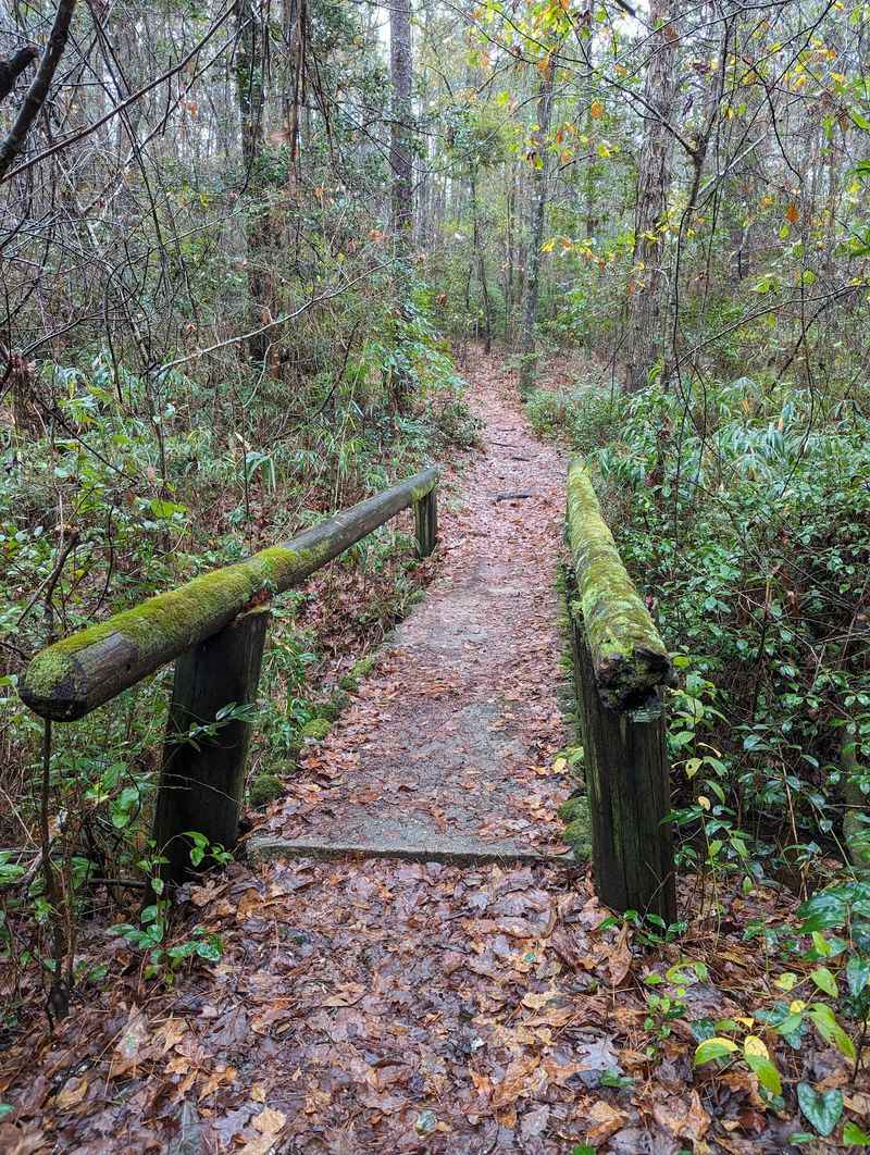
Pine stands, hardwood groves, rolling hills, bluffs, and swampy pockets all appear within a few miles. The variety keeps the walking interesting.
Mountain laurel wearing Spanish moss grows here, a botanical pairing you rarely see anywhere else. Photographers get a treat.
Snakes can occur throughout the park’s varied habitats, so stay on marked trails and keep pets on a leash no longer than six feet.
Civilian Conservation Corps crews began developing Poinsett in 1934, and surviving historic features include a coquina bathhouse and other CCC-built structures.
A 10-acre lake anchors the recreation area, with fishing and johnboat rentals available. Jon boats, canoes, pedal boats, and stand-up paddleboards are among the current rental options on the park’s 10-acre lake.
Trail difficulty varies throughout the park, so choose a route that fits the group’s ability and use the official trail map to plan before setting out.
The address is 6660 Poinsett Park Rd, Wedgefield. Strange geology, quiet water, and trails that surprise you around every bend.
9. Oconee State Park Trails, Mountain Rest
September can still bring warm conditions to the South Carolina mountains, so check the forecast rather than counting on consistently cool weather.
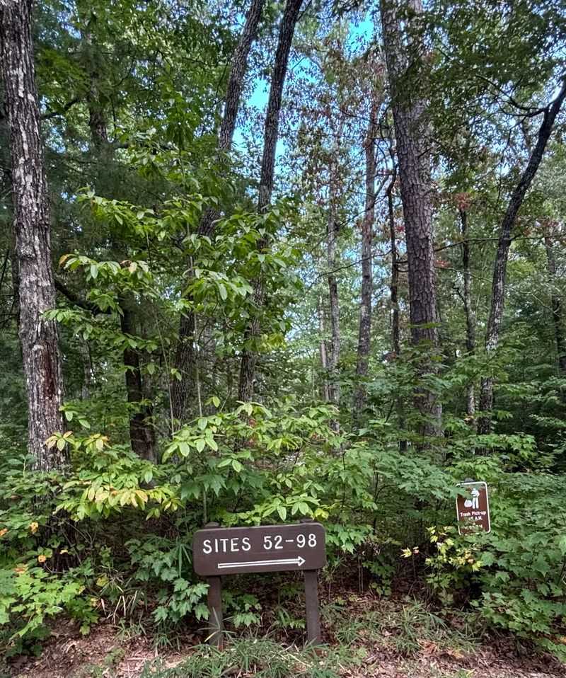
Oconee State Park sits in Mountain Rest, tucked into the Blue Ridge foothills. Civilian Conservation Corps crews built it during the 1930s.
Six hiking and nature trails originate in Oconee State Park, including the 4.6-mile out-and-back Hidden Falls Trail, which continues onto U.S. Forest Service property.
Rustic architecture from the CCC era still stands, from cabins to stone details. Thoughtful design shows in every corner.
Fishing, boating, and lakeside lounging fill out the day when your legs need a break. The lake stays calm most mornings.
Snakes occur in the park, so watch where you step, sit, or place your hands and give any snake you encounter plenty of space.
Oconee State Park provides access to the Foothills Trail through a 1.2-mile access trail, opening the door to much longer backcountry routes.
Mountain elevation does not guarantee cool September afternoons, so carry water, check the forecast, and prepare for changing conditions.
For stronger mountain fall color, South Carolina State Parks recommends planning around mid to late October rather than counting on a late-September display.
The park address is 624 State Park Rd, Mountain Rest. Rugged paths, quiet water, and a trail day you will want to repeat.