This Nebraska Park Still Bears The Wagon Ruts Left Behind By Oregon Trail Pioneers
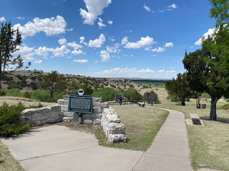
Driving western Nebraska, you get used to the horizon doing most of the talking. Then the road drops into a canyon, the bluffs close in, and there on a bare slope above you are grooves worn into the earth by wagon wheels that rolled through more than a century and a half ago.
They are not a reconstruction or a painted sign. They are the actual scars of the crossing, and once you spot them you cannot unsee them.
A Canyon Park in Garden County
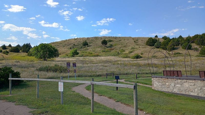
Bluffs crowd both sides of the road here, which is not what most people expect out of the North Platte valley. Ash Hollow State Historical Park sits on the east side of Highway 26 south of Lewellen, in Garden County, covering roughly a thousand acres of canyon, spring, cave and open grassland.
Nebraska Game and Parks runs the site, and the layout spreads across a couple of stops rather than one central building. There is a visitor center on the high ground with a view that stretches out over the valley, walking trails threading down toward a spring and a shallow cave, and a one room schoolhouse set apart from the rest.
What draws most people, though, is the hillside. Windlass Hill rises at the southern end of the park, and the wagon ruts carved into its face are the reason the whole place earned protection.
Everything else here builds context around that slope. The park is a museum, a hiking spot and a picnic ground, but it started as a bottleneck on the greatest overland migration this country ever saw.
Windlass Hill and the Grooves It Kept
Picture a loaded wagon at the lip of a slope steep enough that walking down it feels awkward. Emigrants locked their wheels, sometimes rough-locked them with chains, and let the whole rig skid to the valley floor.
Thousands of those controlled slides gouged the hillside.
Wind and rain finished the job. Water found the scraped channels, ran through them, and deepened them into the swales you see today, some of them shoulder deep where a person can stand inside and look up at the grass line.
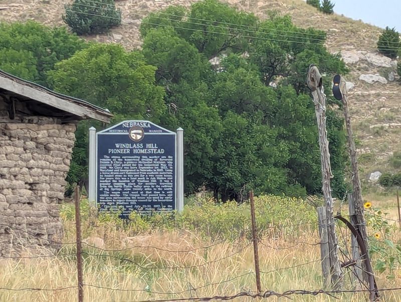
The name Windlass Hill suggests a crank-and-rope lowering device, though no evidence supports one ever being used there. The name stuck anyway, long after the last wagon.
Standing at the base and looking up, the geometry explains itself. Wagons fanned slightly as drivers picked their own lines, which is why the ruts do not read as a single road but as a braid of parallel cuts.
Erosion keeps reshaping them. What survives is a genuine scar of overland travel, not a re-creation.
Why Wagons Came Down Here at All
Water. That was the short answer for nearly everyone who made the descent.
Ash Hollow held a cold spring, shade from ash and cedar trees, firewood and grass for worn-out livestock. After weeks along the sandy Platte, where the river ran wide and muddy and timber was scarce enough that some parties burned buffalo chips, the canyon felt like a genuine reward.
Getting to it required the drop. Wagon trains coming from the south fork of the Platte had to cross the ridge and find a way down to the North Platte valley, and Windlass Hill was the practical route.
Three great migrations used the same ground. The Oregon Trail, the California Trail and the Mormon Pioneer Trail all funneled through Ash Hollow, which is why the park carries all three National Historic Trail designations today.
Diaries mention it constantly. For families grinding west at fifteen miles a day, a shaded spring with clean water earned a page in the journal and often a rest day before pushing on.
The Visitor Center on the Bluff
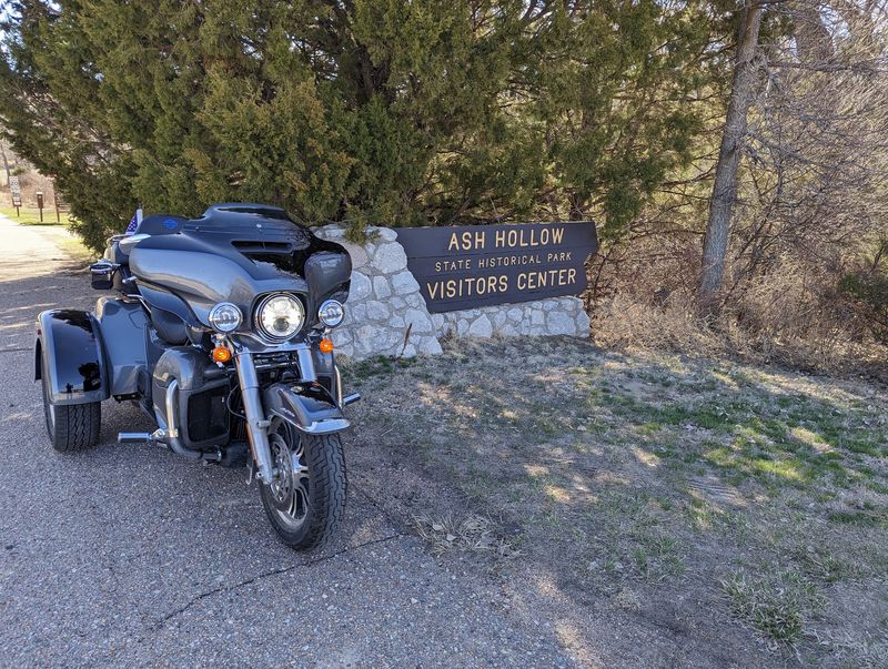
Perched at the top of the hill, the visitor center does double duty as an exhibit hall and an observation deck. The valley view out the windows is broad enough that some people linger there longer than they do at the displays.
Inside, the interpretation covers three layers of the same ground: the emigrant story, the archaeology of the canyon, and the paleontology of the bluffs. Native American artifacts from the region are part of the collection, and a short film sets up the geography before you walk it.
The museum has been going through updates, which means what you see may differ from a visit a few years back. Staff on hand tend to know the terrain in detail and will point out what is worth your time.
Hours run on a seasonal schedule and the building does not stay open into the evening, so check before you drive out. The grounds themselves are accessible year-round even when the doors are locked, and the view from the parking area costs nothing but the drive.
Ash Hollow Cave and Its National Landmark Status
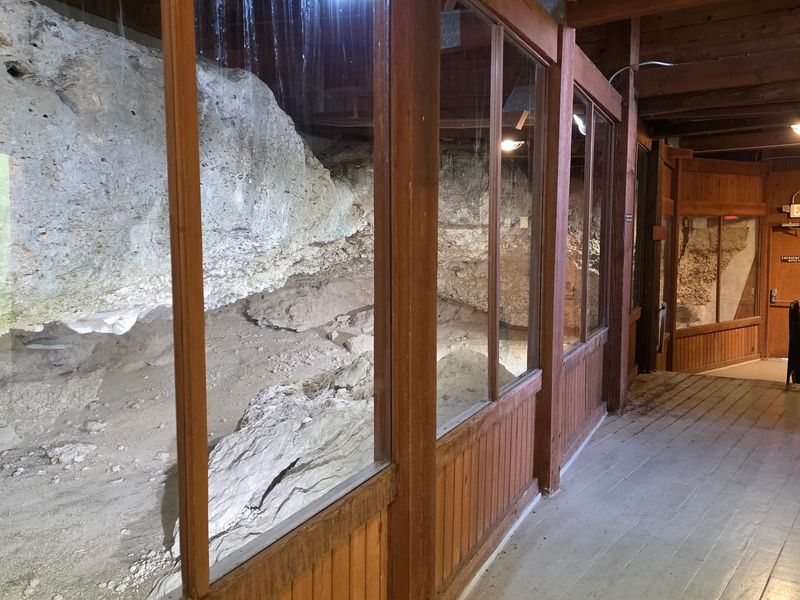
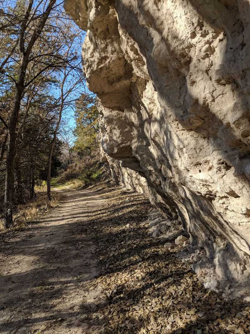
Do not arrive expecting a cavern. Ash Hollow Cave is a shallow rock shelter, an overhang more than a tunnel, and the walk to it takes only a few minutes from the paved trail.
Its importance is archaeological rather than scenic. Excavations pulled layered evidence of human occupation going back thousands of years, well before any wagon rolled through, and that record is what earned the Ash Hollow Historic District recognition as a National Historic Landmark.
Interpretive panels near the shelter explain what was found and how the layers stacked. Reading them changes how the canyon feels, because the Oregon Trail suddenly becomes the most recent chapter rather than the oldest one.
The trail down is paved and short, though the grade will get your attention on the return climb. Benches and exhibit stops break it up.
People expecting a dramatic cave sometimes come away flat. Anyone interested in how long this canyon has sheltered people will find it the quiet highlight of the park.
The One-Room Schoolhouse South of the Park
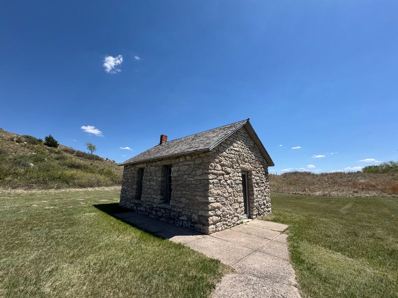
Set apart from the main grounds, the little schoolhouse is the kind of building that stops families cold. Rows of wooden desks, a stove, a chalkboard, all arranged the way the room looked when children actually learned there.
Nebraska once counted thousands of one-room schools scattered across its counties, one for every few miles of farm ground. Most were sold off, hauled away or left to the weather.
This one survived because the state kept it.
Kids tend to gravitate to it faster than to any exhibit case. There is something about a desk sized for a nine-year-old from a hundred years ago that lands harder than a display panel.
The building sits to the south of the primary park area, which means some drivers blow past without realizing it belongs to the same site. Watch for signage.
It also fits the broader theme here. Ash Hollow is a place about people passing through and people settling in, and the schoolhouse marks the moment the second group won out.
Trails, Swales and a Paved Climb
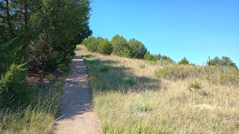
Short is the operative word for hiking here. The trail network adds up to a handful of routes rather than an all-day loop, and most people cover the highlights in an hour or two.
A paved path with outdoor exhibits climbs the Windlass Hill grade, stopping at panels that explain what happened on each stretch of slope. It is steep enough to raise your pulse, and the payoff at the top is a panorama across Ash Hollow and out toward the Platte valley.
Grass trails handle the rest. They wander along the bluff top, parallel the road in places, and give you angles on the ruts and swales that the pavement misses.
Restrooms sit near the visitor center, parking is plentiful, and there is room for an RV to swing in. Leashed dogs are welcome on the grounds.
Steep pavement and uneven grass mean the site is difficult for anyone with mobility limits. The view from the upper parking area, fortunately, is already excellent.
Layers of Story Before the Wagons
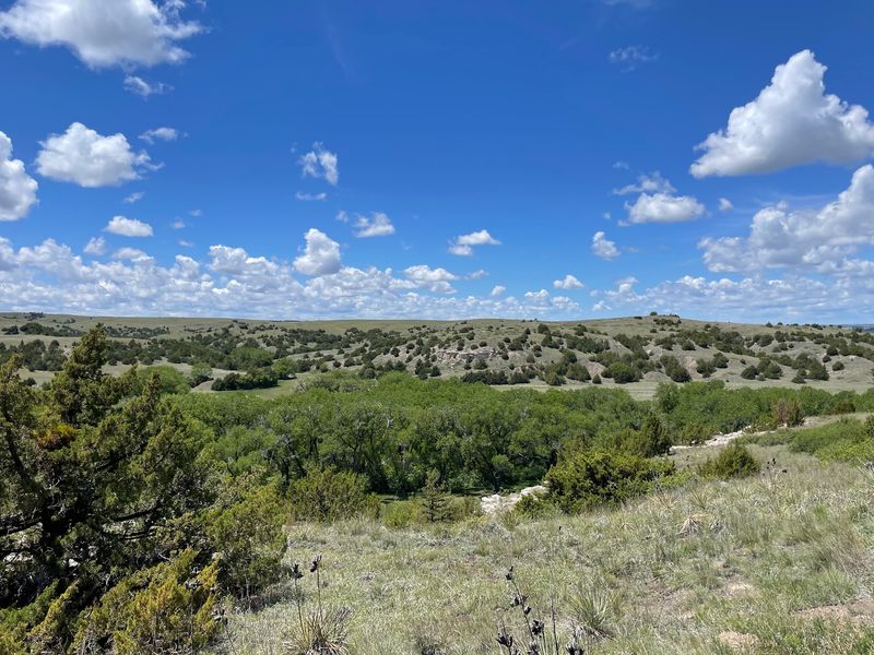
Long before anyone drew a trail map, this canyon mattered to the people who lived in the region. Pawnee and Lakota history runs through Ash Hollow, including the site of an older conflict between the two nations near the canyon mouth.
That history does not sit comfortably alongside the emigrant story, and the park does not pretend otherwise. The exhibits treat the canyon as contested, occupied and used ground across a very long stretch of time.
Fossils add another layer beneath both. The bluffs preserve remains of creatures that lived here in deep prehistory, and the interpretation covers an enclosed dig area with illustrations explaining what has been recovered.
Put all three together and the canyon reads differently. A spring that drew wagon trains drew everything else first, for the same practical reason: reliable water in dry country is worth walking toward.
Anyone who arrives thinking Ash Hollow is purely an Oregon Trail stop leaves with a longer timeline in their head. That shift is probably the most valuable thing the park hands you.
Rachel Pattison’s Grave and the Cost of the Crossing
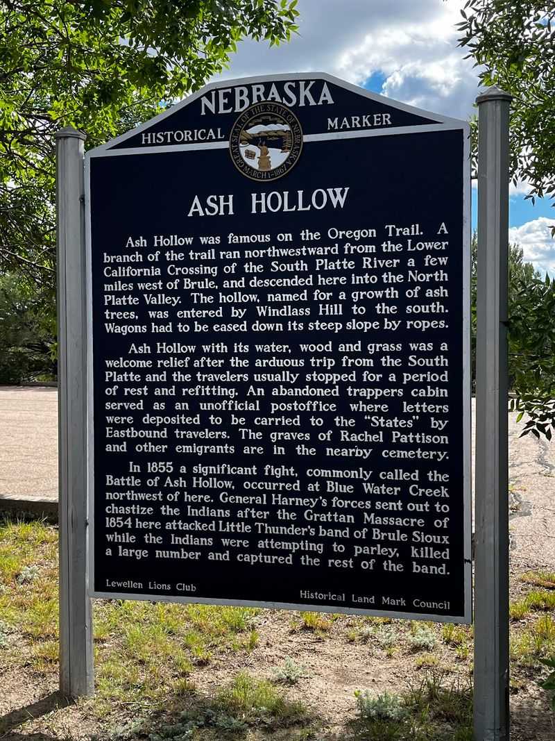
A single headstone at a nearby cemetery tells you more about the overland journey than any mileage chart. Rachel Pattison was eighteen when her party reached Ash Hollow in 1849, traveling west as a new bride.
She fell ill with cholera and did not continue.
Her marker is one of the few emigrant graves along the trail that can still be identified by name and location. Park staff give directions to it, since it sits just outside the main grounds.
The stone is plain and the setting is quiet, which is exactly why it registers. There is no interpretation shouting at you, just a name, a date and a great deal of open sky.
Trail journals are full of losses like hers, most of them unmarked and long since lost to plowing and weather. Ash Hollow kept one.
Visiting takes ten minutes and reframes everything you saw on the hillside. The ruts show effort.
The grave shows what effort sometimes cost.
Best Seasons to Catch the Ruts
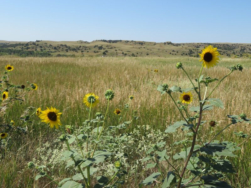
Spring makes the canyon look its best. Grass greens up across the bluffs, the cottonwoods leaf out along the spring, and the temperature actually allows a climb up the paved grade without regret.
Fall runs a close second. Low autumn light rakes across Windlass Hill at an angle that throws the swales into shadow, which is when the ruts photograph most clearly and read most obviously as ruts rather than random dips.
Summer brings heat and wide-open sun on a treeless slope, so early morning is the smart window. There is shade near the spring picnic area under big trees, and it earns its keep in July.
Winter keeps the grounds open, but the visitor center follows a seasonal schedule and the wind on top of that bluff does not negotiate.
The park pairs naturally with Lake McConaughy just up the road, which pulls its own crowds through Garden County in warm months. Combining the two makes for a full day without much driving between stops.
Getting There, Fees and What to Expect in Nebraska’s Panhandle Country
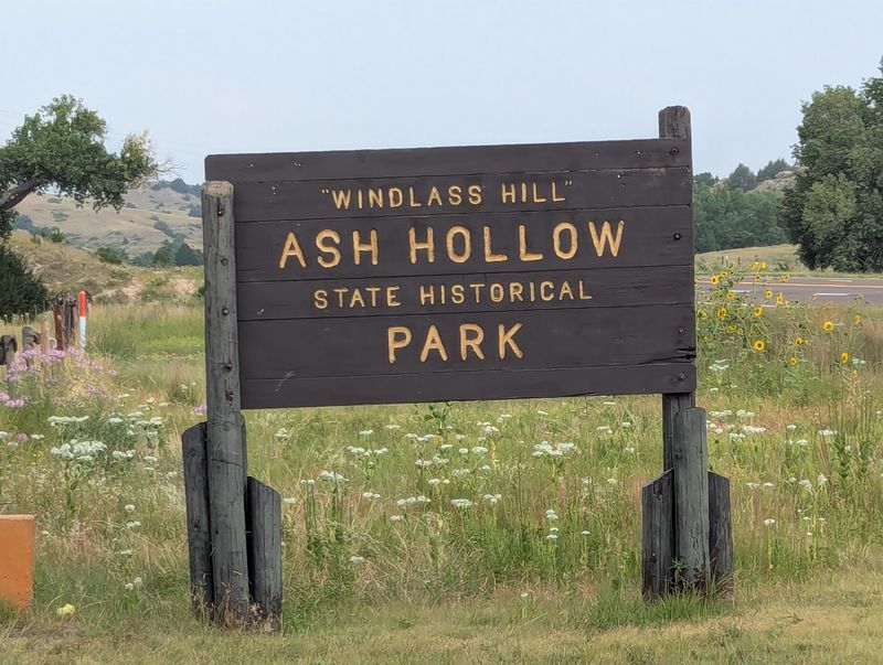
Finding it is simple: the park lines the east side of US-26 south of Lewellen, address listed as US-26, Lewellen, NE 69147. From Ogallala it is a short run northwest, and Lake McConaughy sits close enough that many people hit both in one trip.
A Nebraska state park entry permit is required, with out-of-state vehicles paying more, and a small separate charge applies for the museum. If you already bought a permit for camping at Lake McConaughy, it carries over here.
Hours have tripped people up. The posted schedule for the visitor center has not always matched reality, and the grounds often open earlier than the building.
Call ahead or check the state park site before committing to a long drive.
Bring water, since services in the immediate area are limited. Lewellen itself is small, and the nearest full range of stops is back toward Ogallala.
Parking is roomy, restrooms are on site, and leashed pets are fine on the grounds.
Standing Where the Wheels Locked
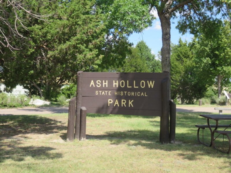
Some historic sites need a guide talking you into being impressed. Windlass Hill does not.
You look up, you see the cuts, you do the math on how many wheels it took, and the rest handles itself.
Ash Hollow works best for people who like their history outdoors and unpolished. It is compact, the walking is short, and a thorough visit fits inside a morning with time left over for the lake.
Families do well here because the schoolhouse and the cave give kids something physical to poke around. History readers do well because the interpretation is careful and covers more than the wagon years.
Anyone needing level ground and easy access will find the slopes limiting, and the museum building is not always open when the sign suggests it should be.
Still, for a park in Garden County that most travelers on I-80 never detour for, the payoff is out of proportion to the effort. The hillside has been holding those grooves for well over a century, and it keeps holding them.