Jaw-Dropping Michigan Destination Has A View That Might Be The Best In The State
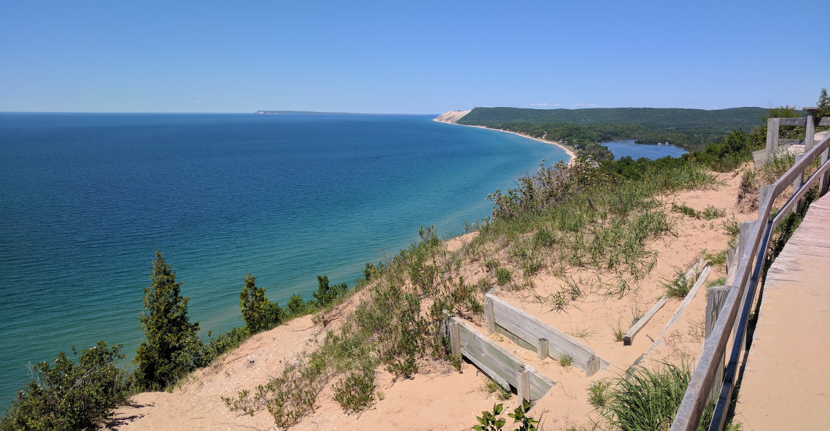
This Michigan stop can turn a casual afternoon into a “how did we spend five hours here?” kind of day.
The dune climb alone has a way of turning confidence into comedy. Then the choices start piling up.
You can chase overlooks, wander toward the water, or duck into a historic village when your legs need a break.
The fun comes from never quite doing what you planned. One quick stop becomes another.
By late afternoon, you may be sandy, tired, and still bargaining with yourself for ten more minutes before heading back to the car for one last view.
Where Glaciers Left Their Mark
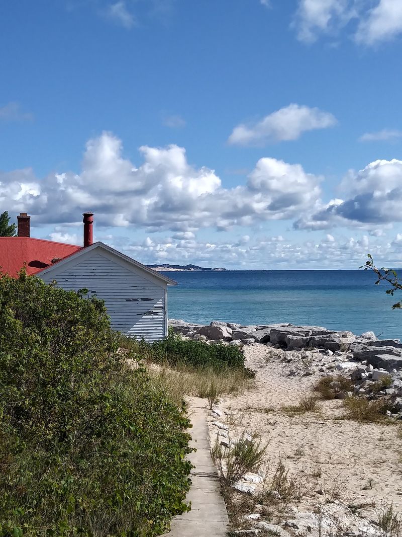
Long before roads reached this coast, continental glaciers did most of the landscaping.
Ice covered northern parts of the state until roughly 14,000 years ago, and the most recent glaciers retreated from the Sleeping Bear area about 11,800 years ago.
As they moved, they carved lake basins and deposited sand, gravel, clay, and stone across the landscape. Those deposits created the moraines beneath places such as Empire Bluff, Pyramid Point, and the Sleeping Bear Plateau.
The park’s signature perched dunes formed later as wind and water reworked sandy glacial material. Unlike dunes that rise directly from a beach, perched dunes sit on elevated glacial landforms hundreds of feet above Lake Michigan.
That explains why sand can appear beneath your shoes while the shoreline seems astonishingly far below.
The landscape is still changing. Waves reshape the bases of the bluffs, while wind shifts sand across the plateau and active dunes continue moving.
The Dune Climb alone advances toward its parking area by roughly two to four feet in a typical year.
The Story Behind The Name
The park’s name carries meaning that goes far beyond geology.
Sleeping Bear comes from an Anishinaabe oral tradition connected to a sacred place within the homelands of the Odawa, Ojibwe, and Potawatomi peoples.
More than one version of the story is traditionally told, which is important context when reading modern summaries.
In broad form, the story follows a mother bear and her two cubs crossing Lake Michigan and connects the landscape with the Mother Bear dune and the North and South Manitou Islands.
The natural features become family figures within the story rather than simply landmarks on a map.
That connection also explains why the bear-shaped dune served as more than a scenic feature. It was a recognizable landmark along the lakeshore.
The dune’s appearance has changed considerably over time as wind, waves, and moving sand continue reshaping the bluff.
Reading the park’s Anishinaabe interpretation before visiting the overlooks adds cultural context without treating the story as just another roadside legend.
Stop Nine Steals The Show
Twelve stops, one winding road, and a remarkably efficient way to see the dunes.
Pierce Stocking Scenic Drive follows a 7.4-mile one-way loop through forests, dune country, and high overlooks. Vehicle access generally runs from late May through late October, depending on seasonal conditions.
Stopping at all 12 points usually takes about 1.5 to two hours rather than a quick hour.
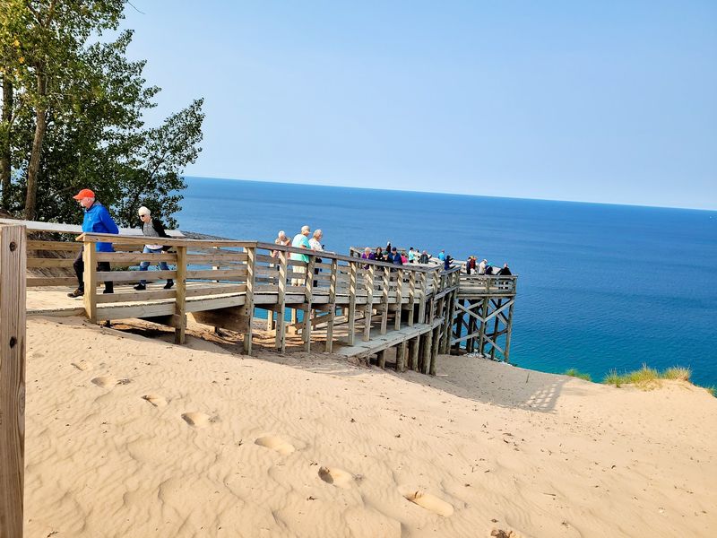
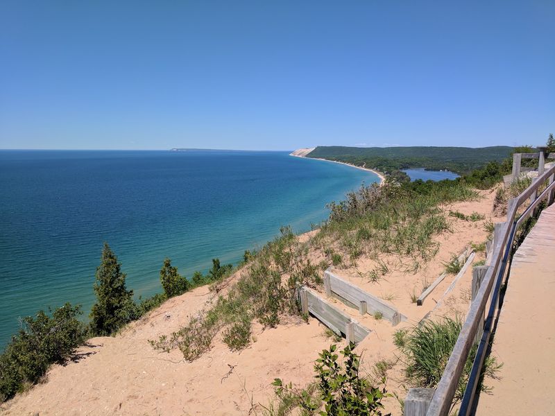
Stop nine is the Lake Michigan Overlook, where the bluff rises about 450 feet above the water. The viewing area opens toward miles of shoreline, with Empire Bluff and Platte Bay visible in clear conditions.
Stop ten sits nearby and focuses attention on the namesake Sleeping Bear Dune. The view is best enjoyed from the established paths and overlooks, which also help protect the shifting dune surface.
Not every scenic stop requires much effort. Some overlooks sit close to parking areas, while numbers nine and ten involve steeper surfaces and loose sand.
This is one place where slowing down improves the experience anyway.
Climbing The Famous Sand Mountain
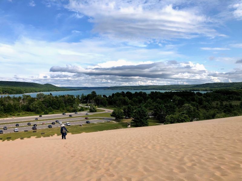
Sand becomes surprisingly demanding once the slope gets serious.
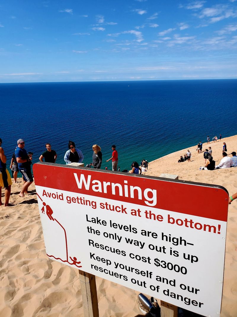
The Dune Climb rises as a roughly 284-foot wall of windblown sand at the eastern edge of the Sleeping Bear Plateau. It is one of the park’s signature activities and continues to shift naturally over time.
Reaching the first crest does not put you at the big lake.
Little Glen Lake comes into view from the upper dunes, but the shoreline on the opposite side remains much farther away.
The full Dunes Trail covers about 3.5 miles round trip and crosses several substantial dunes before reaching the water. Most hikers need roughly two to four hours, depending on conditions and pace.
The route is exposed, sandy, and physically demanding, so ample water, sun protection, snacks, and suitable footwear matter. Bare sand can also become uncomfortable during bright summer afternoons.
For anyone who only wants the classic climb, turning around after enjoying the upper views still delivers the essential experience. The trip back down provides gravity’s much friendlier half of the bargain.
Trails Through Forest And Bluff
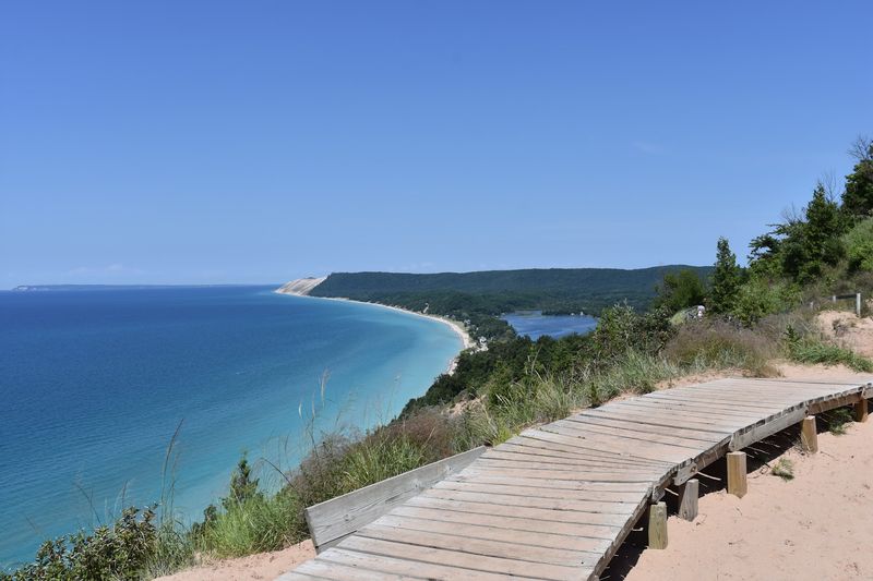
Sand is only one version of the landscape.
The Empire Bluff Trail runs 1.5 miles round trip through beech-maple forest before reaching a high overlook. It is rated moderate and mixes woodland scenery with a dramatic finish above the shoreline.
Pyramid Point offers two options. The shorter trip to the overlook and back covers about 1.2 miles, while the complete loop stretches to 2.7 miles through forest, meadow, and sandy terrain.
Its high viewpoint opens toward the Manitou Islands and surrounding shoreline. For a smoother outing, the Sleeping Bear Heritage Trail provides 22 miles of paved multi-use path.
It connects major stops including the Dune Climb, Glen Haven, a campground, and Glen Arbor. Much of the route passes through forest, and several sections work well for bicycles, strollers, and mobility devices.
Dogs are not allowed on any hiking trail in the national lakeshore, which is worth knowing before the car is packed.
Autumn adds another layer as hardwood forests shift into seasonal color. Even then, bluff overlooks deserve a deliberate pace and attention to marked routes.
Beaches, Rivers, And Island Views
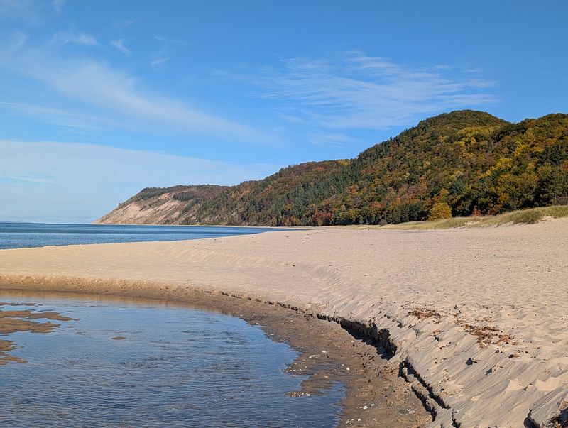
There is far more water here than one enormous lake.
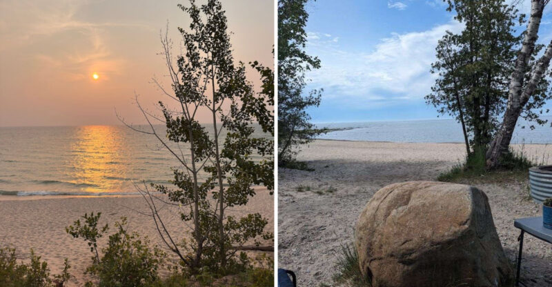
The national lakeshore contains 65 miles of Lake Michigan shoreline, including 35 miles on the mainland, along with 26 inland lakes and miles of rivers and streams.
Esch Road and Good Harbor Bay provide straightforward access to long sandy beaches.
The water at Good Harbor can appear remarkably clear, while inland spots such as North Bar Lake generally warm more quickly during summer.
Swimming along the main shoreline is unsupervised, so checking water conditions before entering is sensible. The Platte River adds an easier paddling option.
Canoes, kayaks, and tubes can be rented near the M-22 crossing, and the river eventually reaches the lakeshore at Platte River Point.
The Crystal River near Glen Arbor offers another paddling route. Island plans require special attention in 2026.
Regular passenger ferry service to North and South Manitou Islands is paused while new docks are being constructed.
South Manitou’s village and 1871 lighthouse complex are also unavailable during the project, with normal dock access expected to return in 2027.
A Village Preserving Lakeshore History
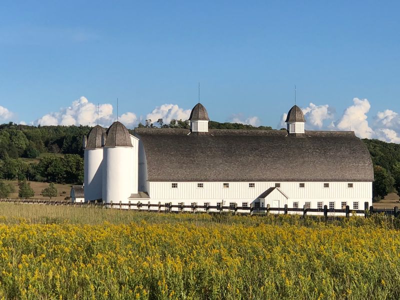
Glen Haven changes the rhythm completely.
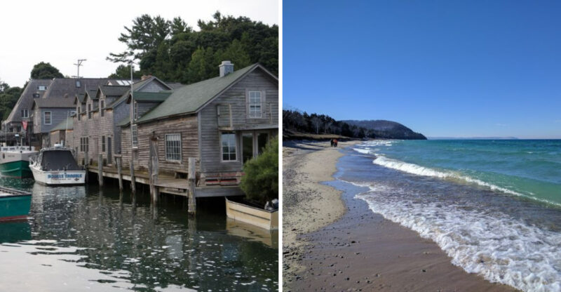
The small historic village preserves the remains of a former cordwood station that once served Great Lakes steamships before expanding into farming, fruit canning, and tourism.
Several historic buildings remain part of the experience.
The old general store recreates the atmosphere of the village’s commercial center, while the former maritime station now holds exhibits on shipping and lakeshore service history.
A blacksmith shop and cannery building add more pieces to the story.
Most of these historic interiors operate seasonally, generally around the summer visitor period, so fall travelers may find the village quieter even though the outdoor setting remains accessible.
Farther north, Port Oneida preserves a 3,400-acre rural historic district.
More than 100 contributing buildings and structures remain across fields, orchards, roads, and former farmsteads, making it one of the country’s largest and most complete historic agricultural landscapes in public ownership.
The combination of dunes, farms, shoreline, and small villages gives this Michigan park far more range than its name suggests.
Smart Tips Before You Go
A little planning makes the dunes much easier to enjoy.
The year-round visitor center at 9922 Front St in Empire is a practical first stop for maps, exhibits, park information, entrance passes, and a short orientation film.
Seasonal hours apply, but the building operates through the year except for several holidays.
An entrance pass is required for park recreation, including visitors arriving by vehicle, bicycle, or on foot when applicable. No separate ticket is needed for many individual attractions once that requirement is covered.
The scenic drive is seasonal for vehicles, while campgrounds and historic facilities follow their own calendars.
Camping reservations during the main season can be made up to six months ahead, and D.H. Day Campground provides convenient access to the Heritage Trail, beach, Dune Climb, scenic drive, and Glen Haven.
Downloading a park map before setting out also simplifies a day with multiple trailheads and beach access points.
Wildlife adds another reason to pay attention. Park records list 246 bird species, and protected piping plovers use certain beaches during their spring and summer nesting season. Marked nesting areas should be given plenty of space.